Ewell to Stoneleigh Road Route
A road cycling route starting from Ewell
A delightful road route from Ewell to Stoneleigh with interesting viewpoints
Map

Embark on this pleasant road route from Ewell to Stoneleigh, passing through picturesque locations such as Stoke D'Abernon, St George's Hill, and Mortlake. With a total ascent of 184 meters and a distance of 73 kilometers, this route is suitable for cyclists of all levels.
road
73 km
184 m
Chill
Route profile
Highlights on the route
0 km
0 km
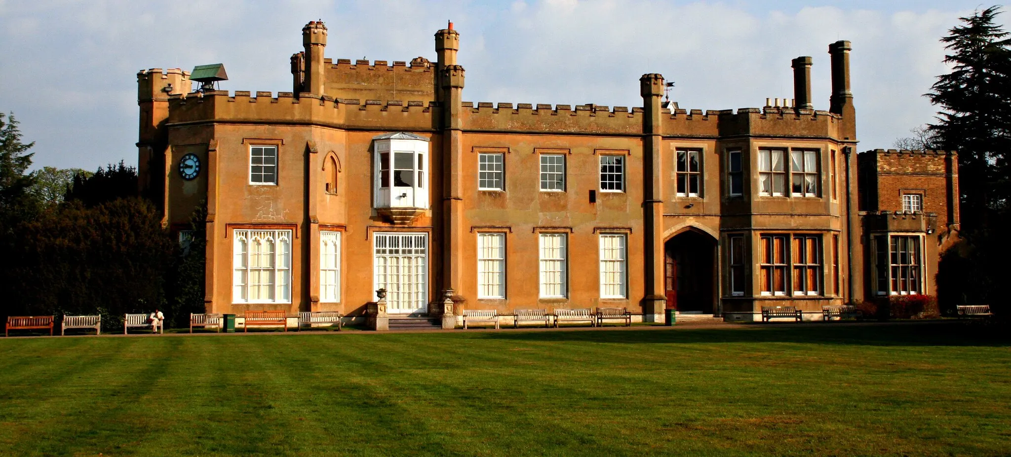
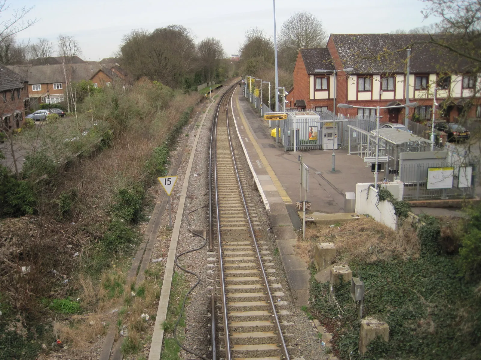
Start: Ewell Village centerEwell: Tranquil cycling getaway near Surrey.
Ewell is a locality in Surrey, East and West Sussex, United Kingdom. For road and gravel cyclists, Ewell offers a peaceful and scenic environment with a mix of flat and rolling terrains. Cycling routes in and around Ewell provide cyclists with the opportunity to explore picturesque countryside, charming villages, and historical landmarks. Ewell Palace, Nonsuch Park, and Horton Country Park are notable locations for cyclists to visit. While Ewell may not be known for legendary climbs, its tranquil atmosphere and well-maintained roads make it an excellent destination for leisurely rides and exploration.0 km
0 km
EwellVillageEwell is a charming town known for its beautiful Ewell Grove and historical buildings.
14 km
14 km
Stoke D'AbernonVillageStoke D'Abernon is an idyllic village with picturesque cottages and the famous Stoke Park lawn tennis club.
20 km
20 km
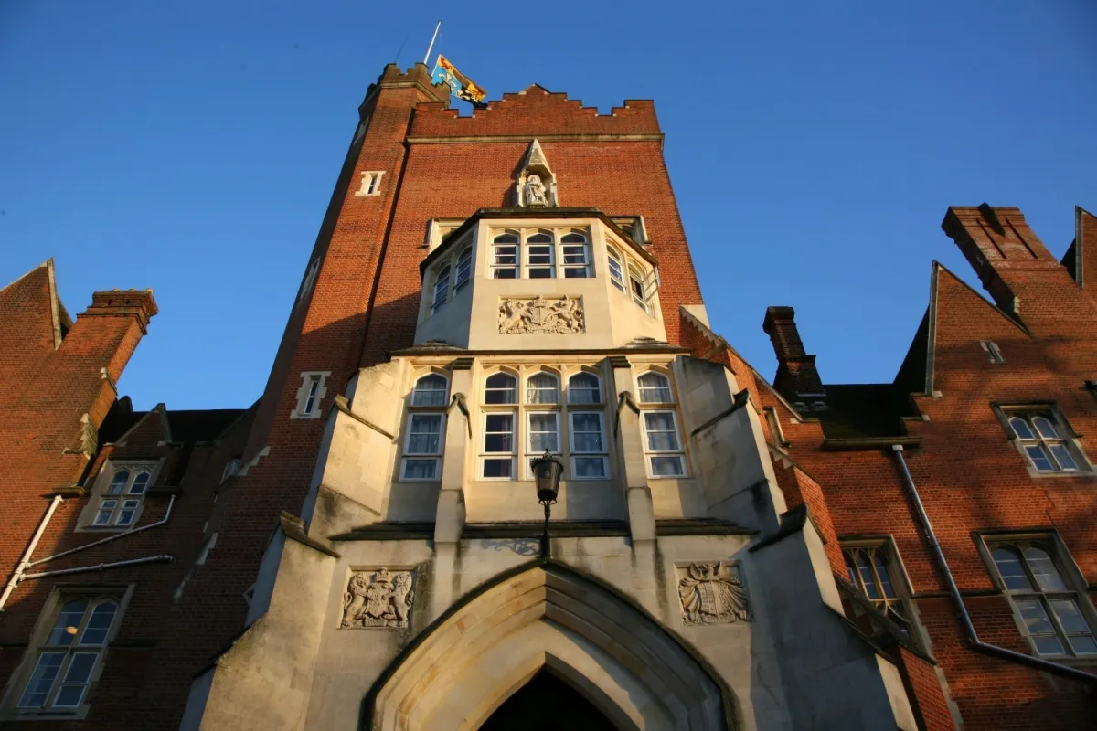
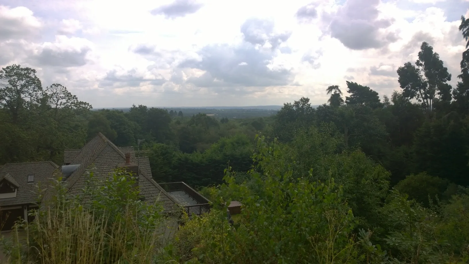
St George's Hill78 mPeakSt George's Hill is a prestigious private estate renowned for its stunning mansions and golf course.
32 km
32 km
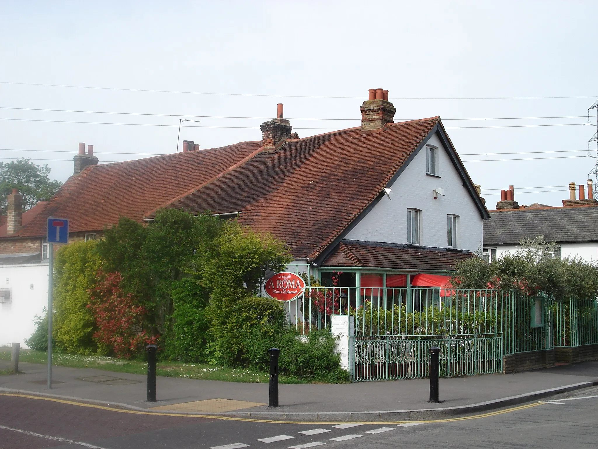
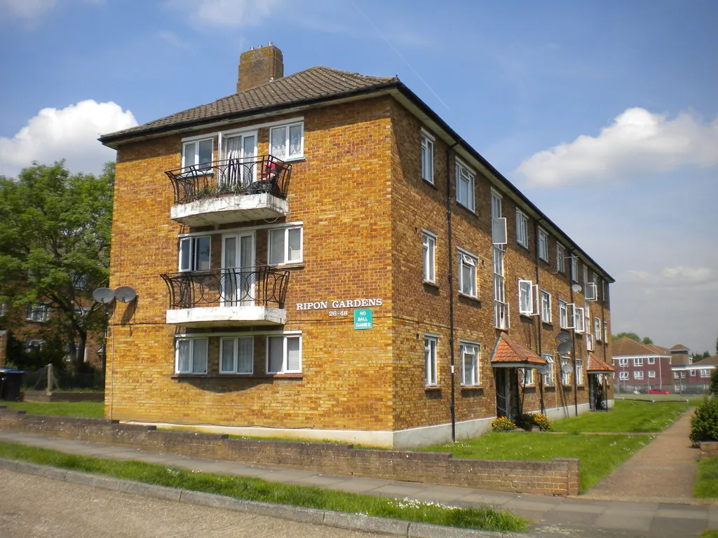
AshfordTownAshford is a quintessential English village featuring traditional pubs, historical buildings, and the Ashford Common nature reserve.
41 km
41 km
27L Runway Viewing Area, Myrtle AvenueViewpointThe Myrtle Avenue 27L Runway Viewing Area offers a unique opportunity to watch planes take off and land at London Heathrow Airport.
56 km
56 km
MortlakeSub-urbMortlake is a riverside area famous for its boatyards, breweries, and the Mortlake Brewery site, which houses The Good Wine Shop and Michelin-starred restaurant The Dysart.
71 km
71 km
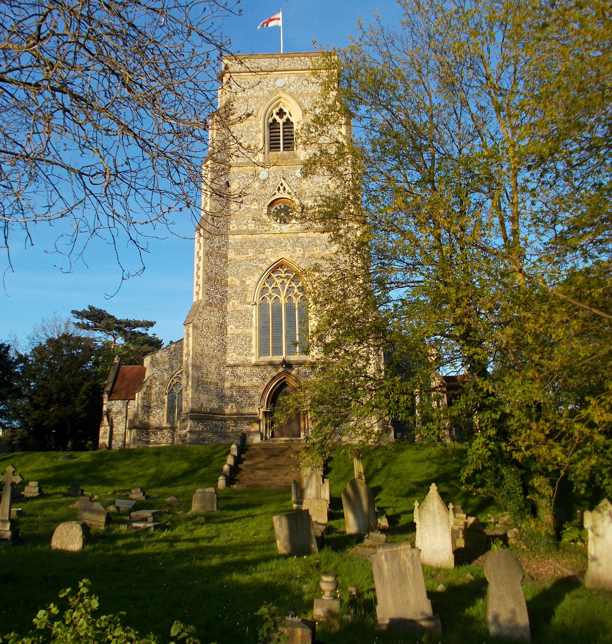
StoneleighSub-urbStoneleigh is a peaceful town known for its abundance of green spaces and tranquil surroundings.
73 km
73 km
Finish: Ewell Village centerEwell: Tranquil cycling getaway near Surrey.
Cycling routes nearby: