Fishbourne Loop
A gravel cycling route starting from Fishbourne
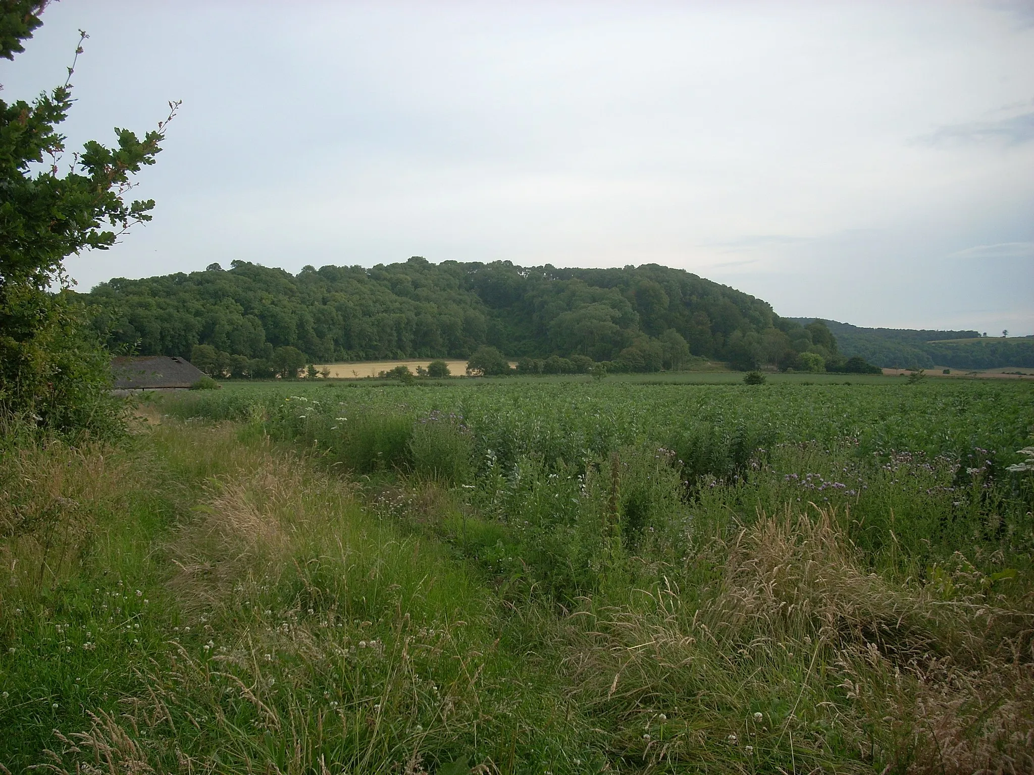
Rolling hills and historic landmarks await on this scenic loop near Fishbourne.
Map

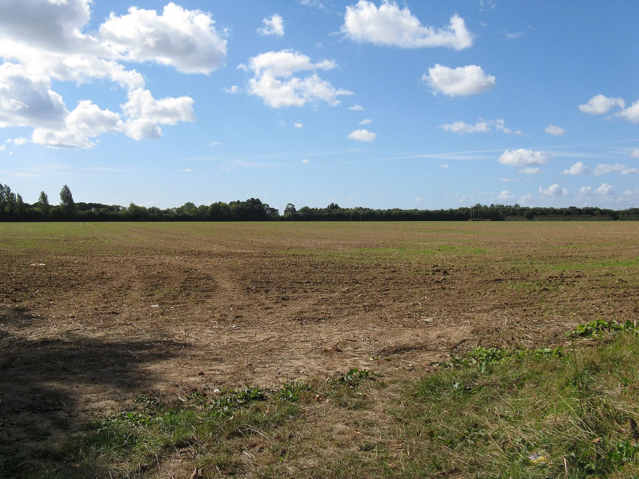
This circular route starting near Fishbourne takes cyclists through picturesque countryside and past several notable landmarks. With a mix of gravel and road sections, the route provides a variety of terrain to keep riders challenged. The total distance is 78 kilometers with an ascent of 1212 meters, making it suitable for well-trained amateurs. With a difficulty rating of 3, this route is moderately challenging but not overly difficult.
gravel
78 km
1212 m
Tough
Route profile
Highlights on the route
0 km
0 km
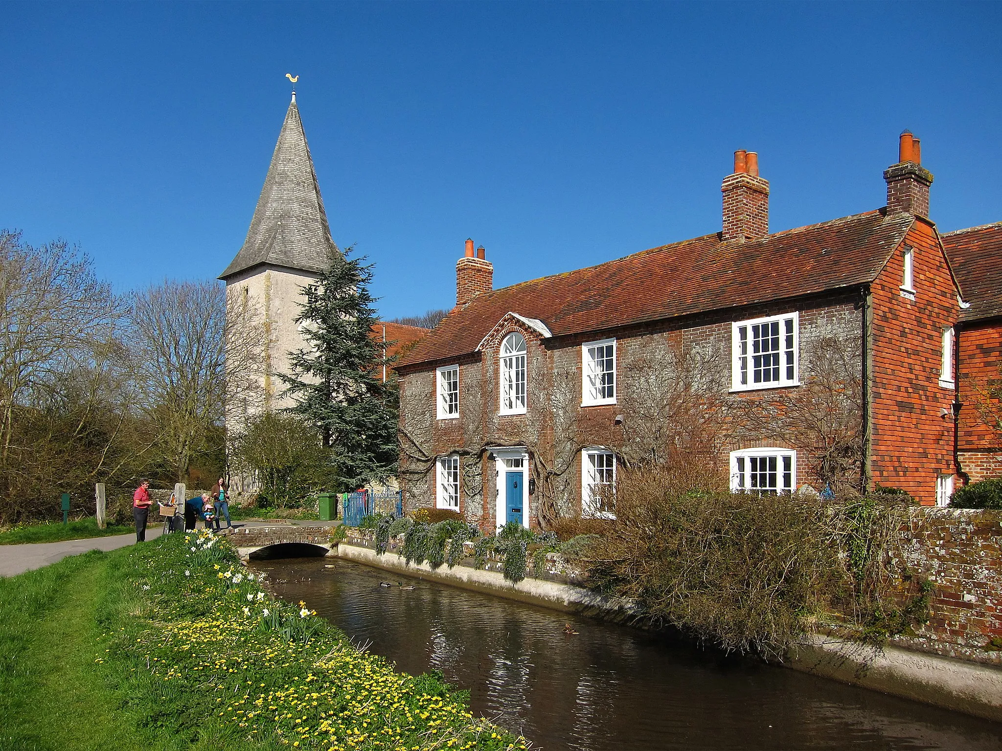
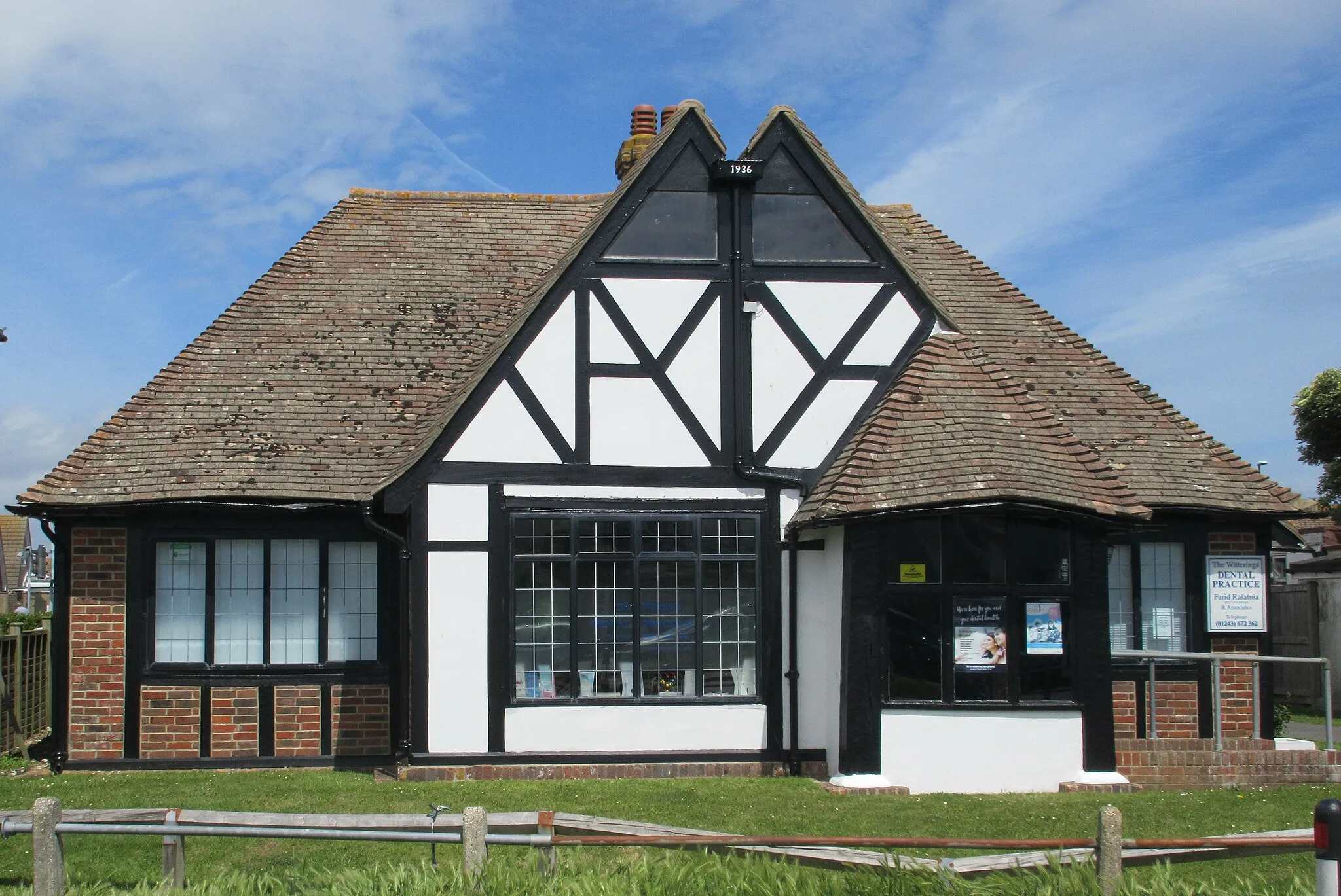
Start: Fishbourne Village centerFishbourne: Scenic Cycling Haven in the UK
Fishbourne is a locality located in Surrey, East and West Sussex region of the United Kingdom. For road and gravel cyclists, Fishbourne provides a variety of cycling routes and picturesque views. The area is known for its well-maintained roads and dedicated cycling paths, making it safe and enjoyable for cyclists of all levels. Additionally, Fishbourne is in proximity to famous cycling-related spots, such as South Downs National Park, which offers stunning scenery and challenging climbs for experienced cyclists. Overall, Fishbourne is a fantastic destination for cyclists who appreciate both natural beauty and cycling infrastructure.0 km
0 km
FishbourneVillageFishbourne, the starting point of the route, is home to Fishbourne Roman Palace, one of the largest Roman residences in Britain. The palace features beautifully preserved mosaic floors and offers visitors a glimpse into Roman life.
6 km
6 km
Stoke Clump126 mPeakStoke Clump, located at 6 kilometers on the route, offers panoramic views of the surrounding countryside. It is a great spot to take a break and admire the scenery before continuing the ride.
19 km
19 km
Vandalian TowerCastle RuinsVandalian Tower, located at 19 kilometers on the route, is a folly built in the late 18th century. It offers stunning views of the South Downs and is a popular spot for photographers.
22 km
22 km
Torberry Hill156 mPeakTorberry Hill, located at 22 kilometers on the route, is a challenging climb with rewarding views at the top. Cyclists can enjoy panoramic vistas of the rolling countryside before descending.
32 km
32 km
RakeVillageRake, located at 32 kilometers on the route, is a picturesque village known for its thatched cottages and country charm. It's a great place to stop for a snack and soak in the peaceful ambiance.
35 km
35 km
Weavers Down156 mPeakWeavers Down, located at 35 kilometers on the route, offers beautiful views of the South Downs National Park. Cyclists can appreciate the natural beauty of the area and spot wildlife along the way.
57 km
57 km
South AmbershamHamletSouth Ambersham, located at 57 kilometers on the route, is a quaint village with traditional cottages and a village green. It's a lovely spot to take a break and enjoy the tranquil surroundings.
69 km
69 km
The Trundle206 mPeak ViewpointThe Trundle, located at 69 kilometers on the route, is an ancient hillfort offering panoramic views of Chichester and the surrounding countryside. This historic site is worth a visit for its cultural significance.
73 km
73 km
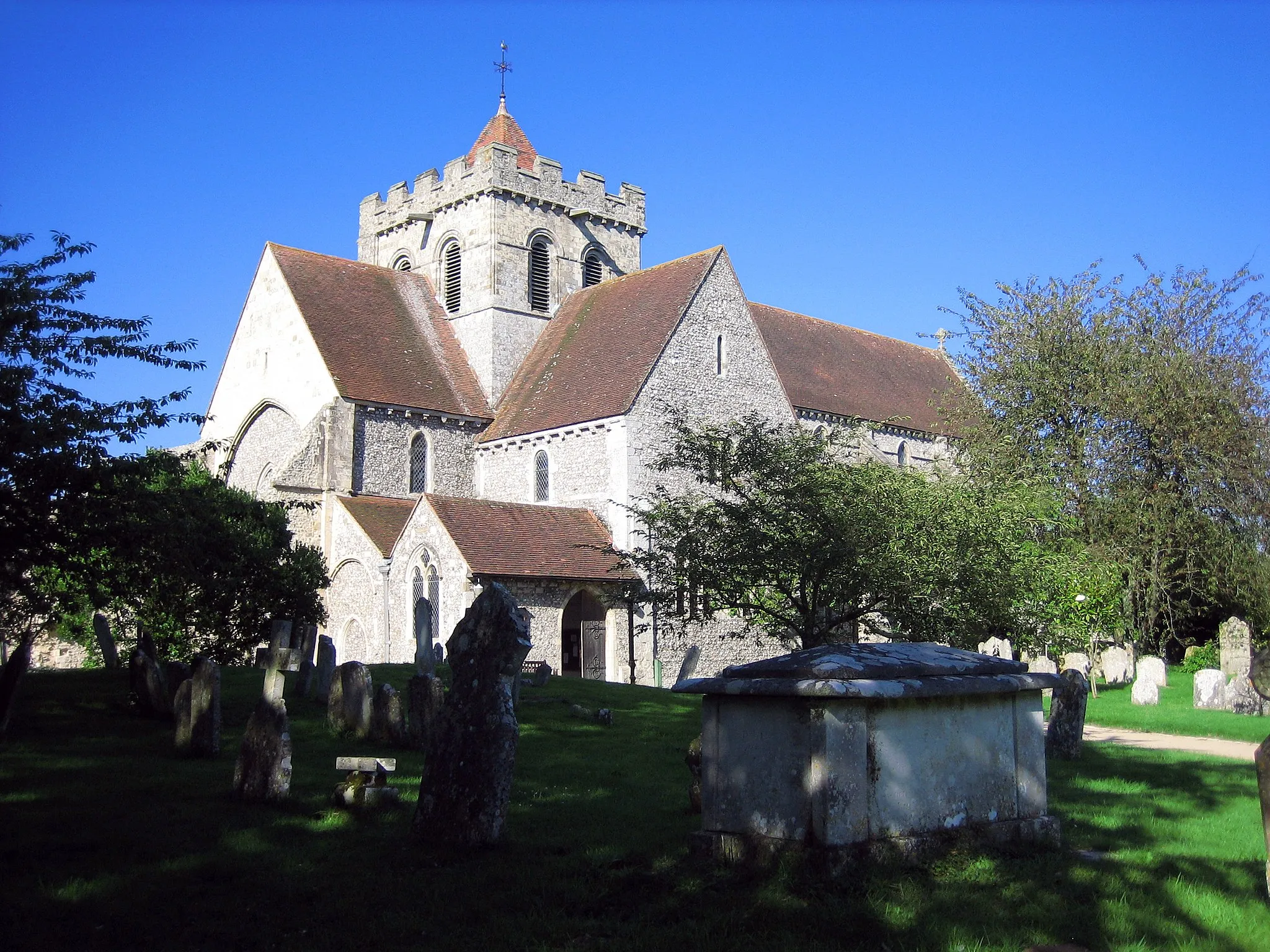
East LavantHamletEast Lavant, located at 73 kilometers on the route, is a charming village with a stunning church and lovely countryside views. It's a perfect place to rest and refuel before the final stretch.
78 km
78 km
Finish: Fishbourne Village centerFishbourne: Scenic Cycling Haven in the UK
Cycling routes from Fishbourne:
Cycling routes nearby: