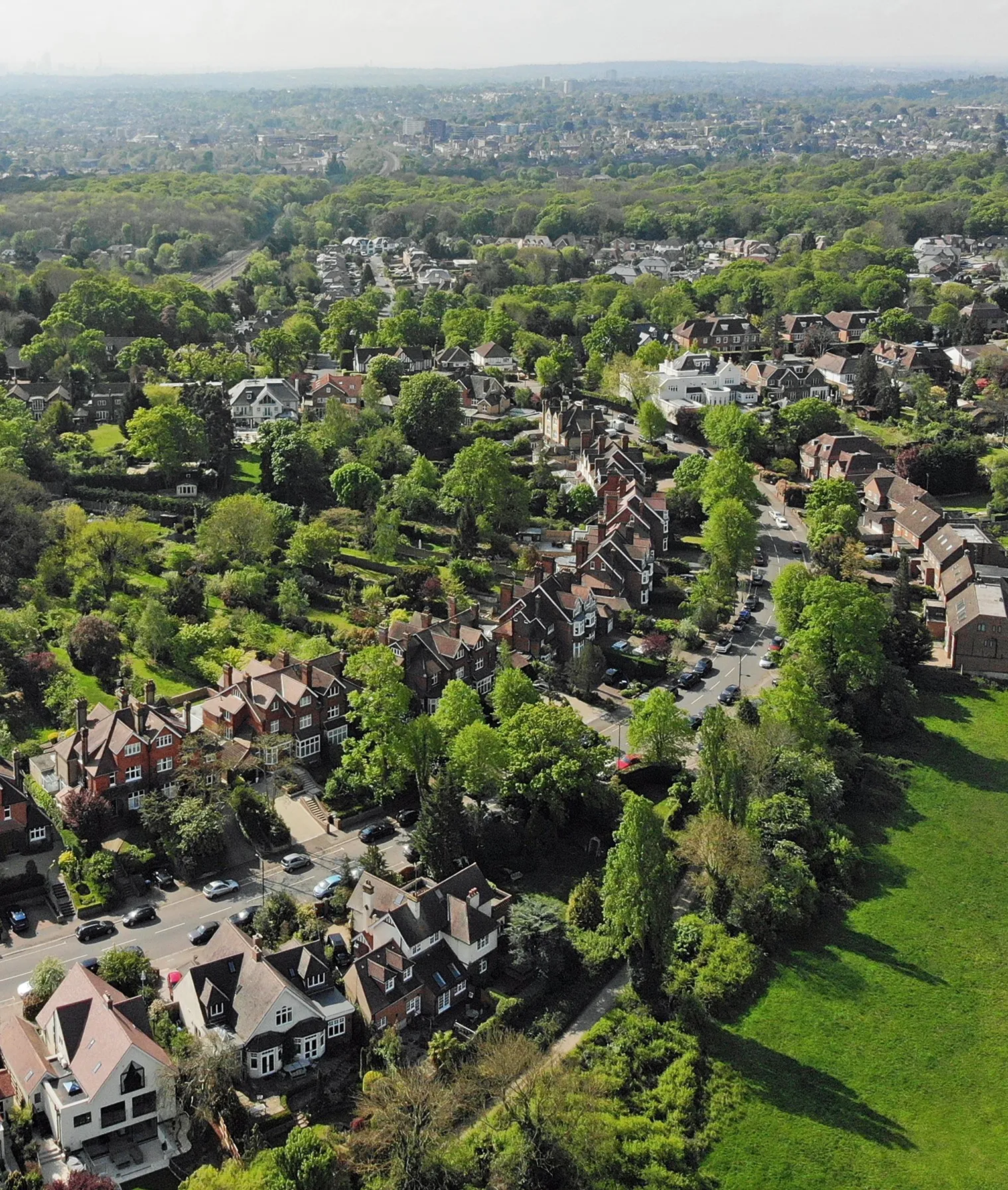
A delightful locality with challenging routes and scenic landscapes in Surrey, East and West Sussex, United Kingdom.
Cycling routes from Woldingham
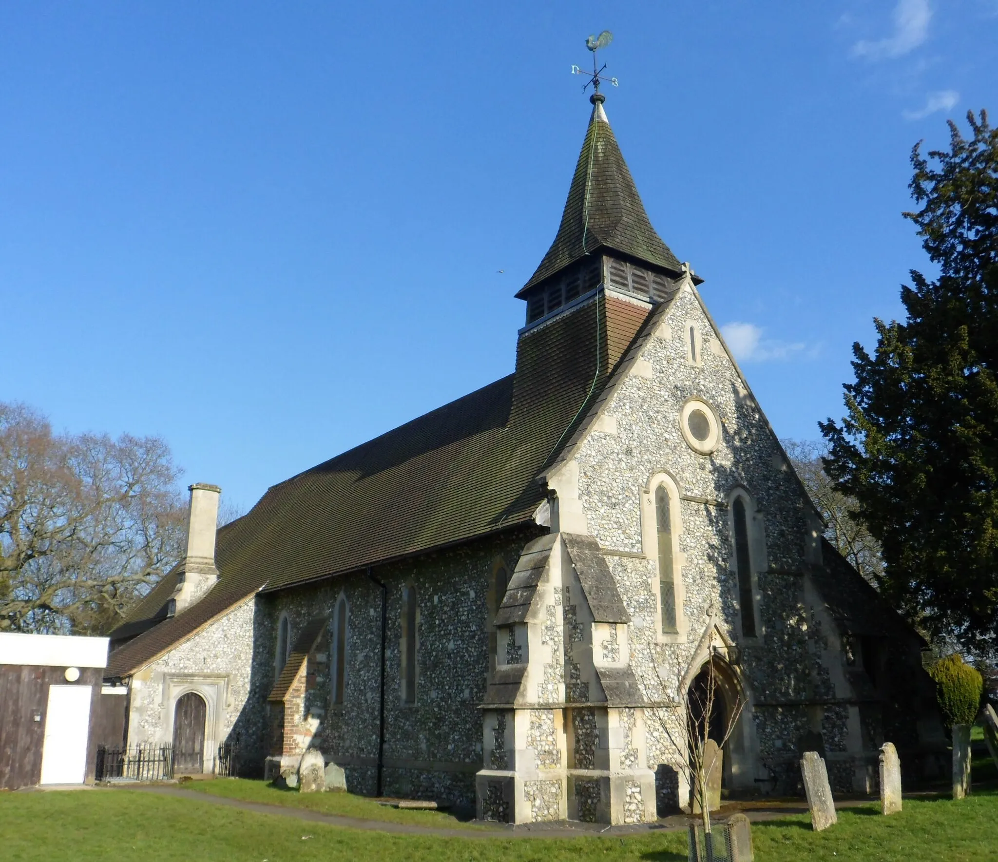
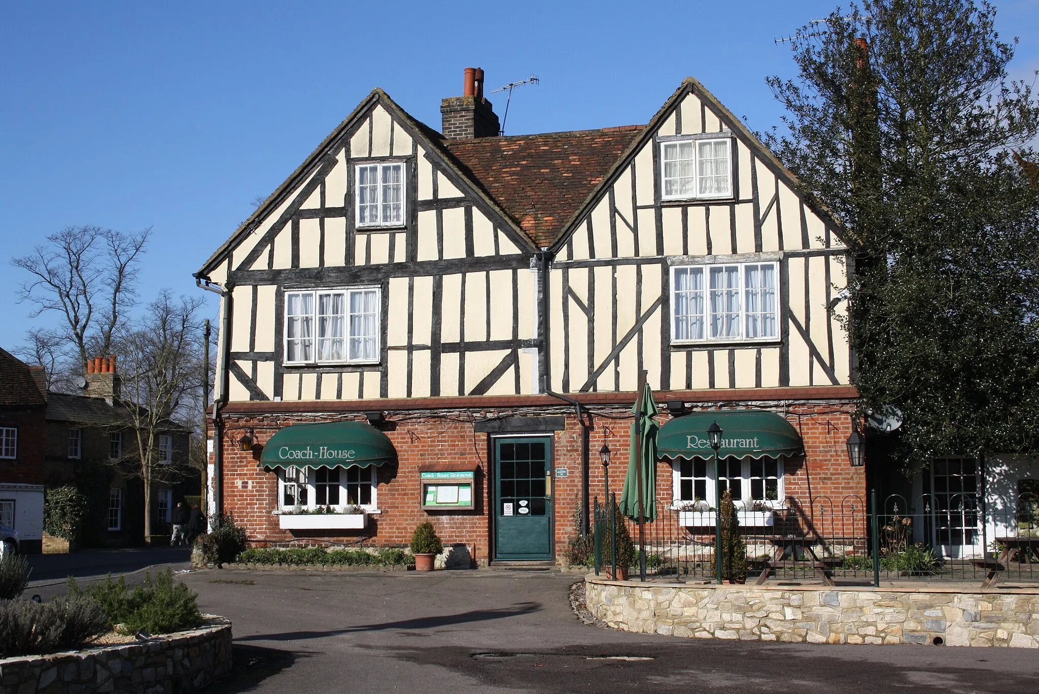
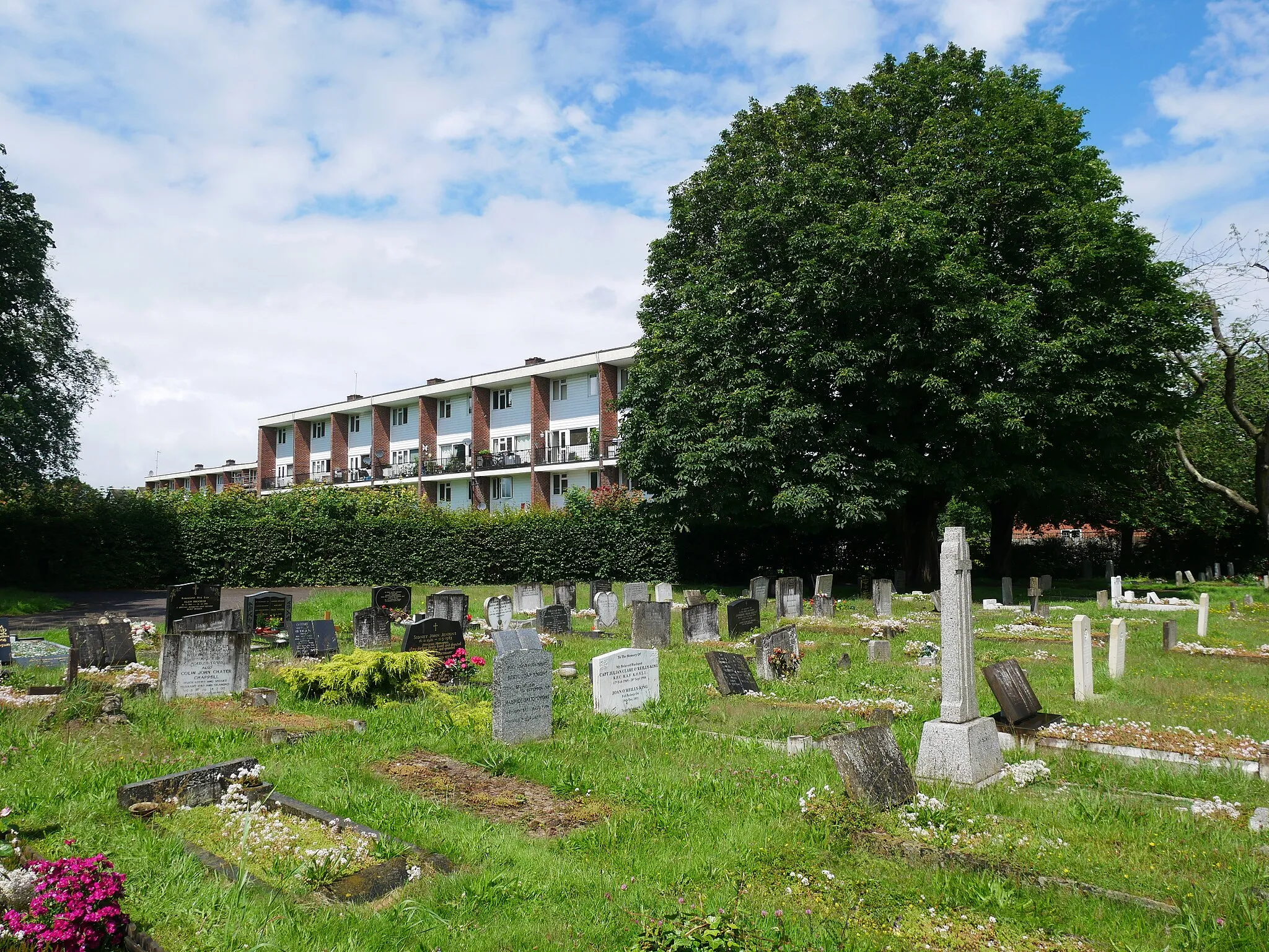
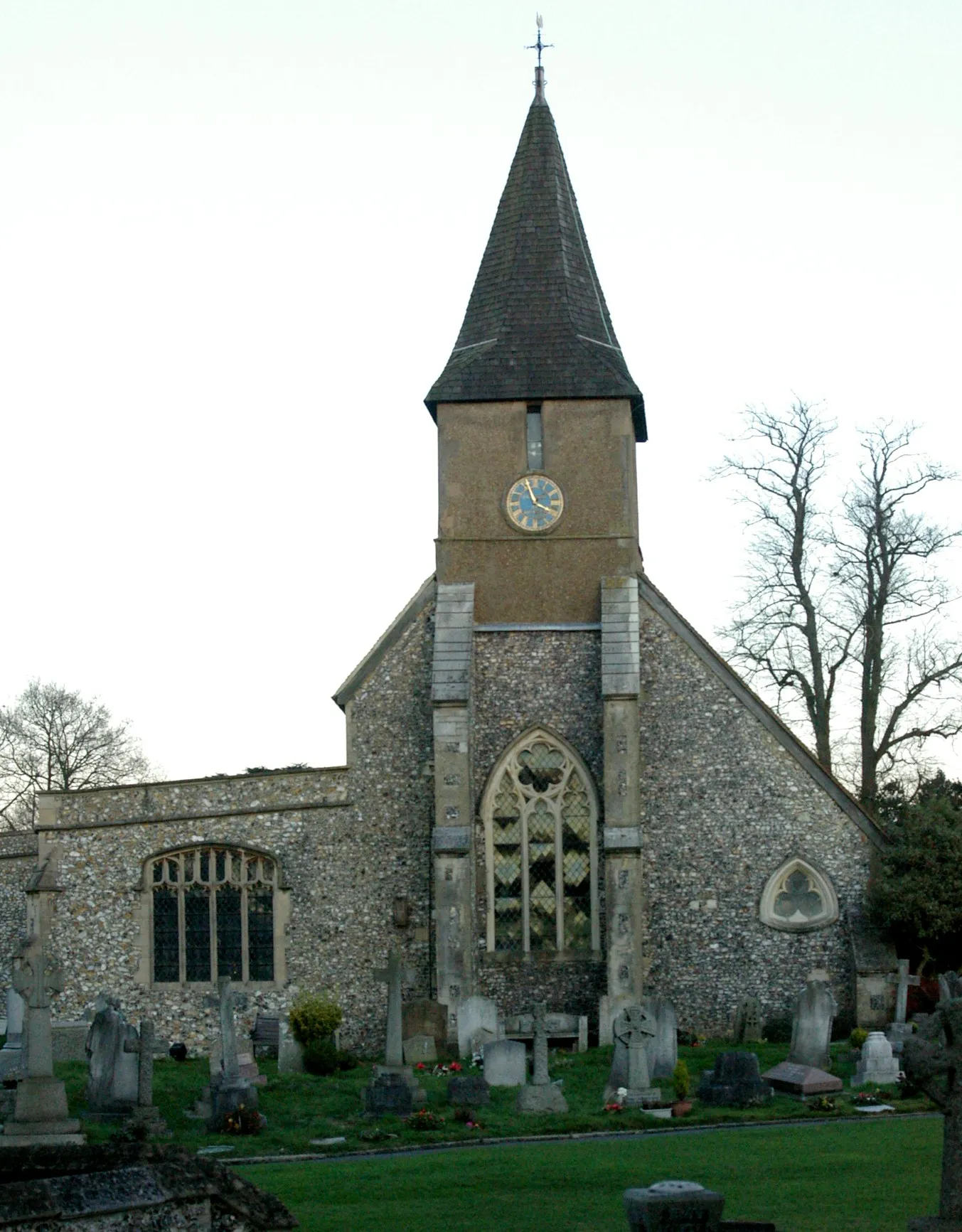
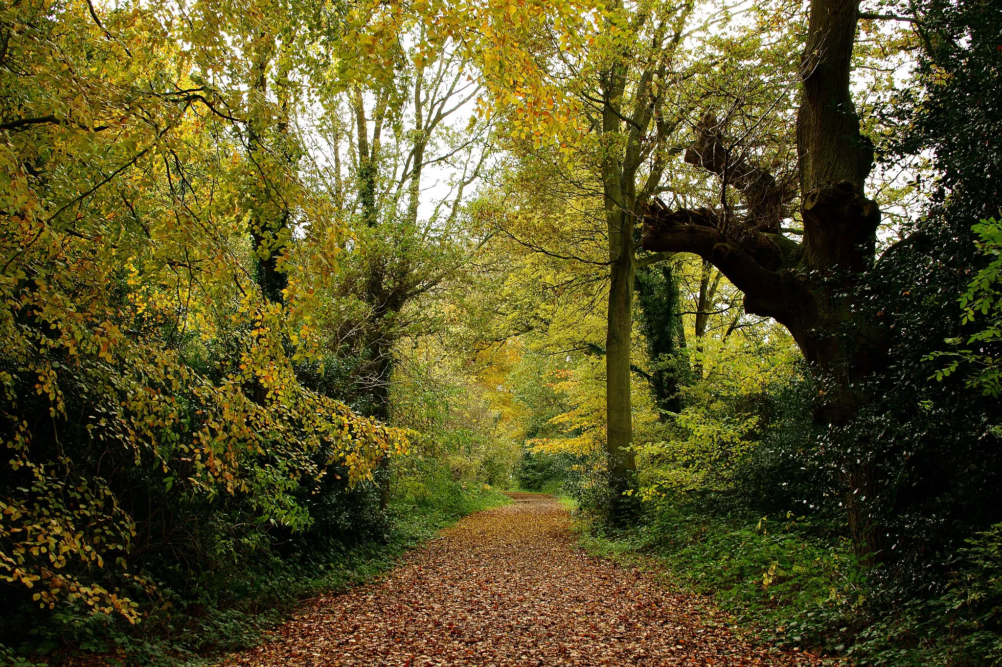
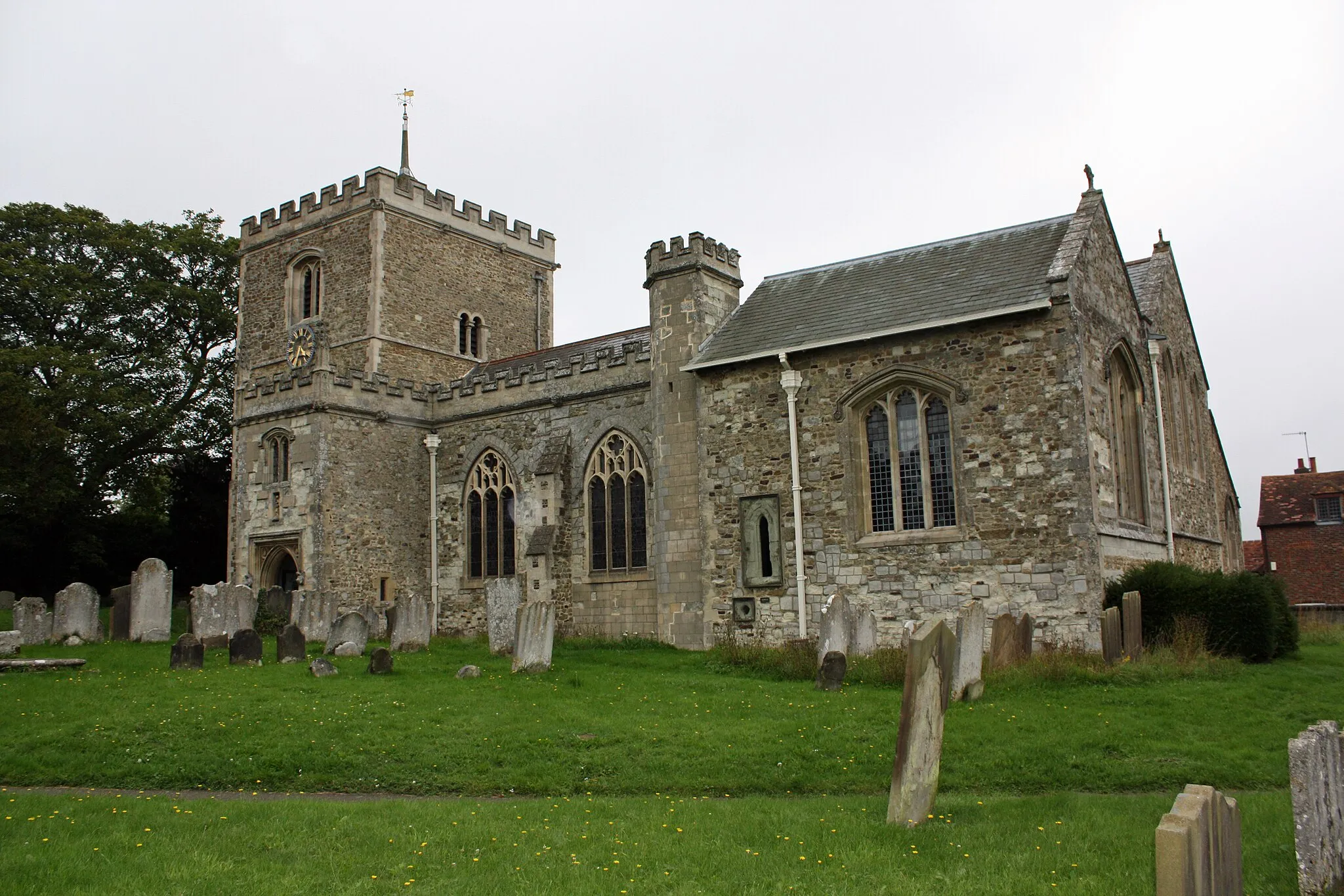
Woldingham, situated in Surrey, East and West Sussex, United Kingdom, is a delightful locality for road and gravel cyclists. With its undulating terrain, Woldingham provides challenging routes that are popular among cycling enthusiasts. The area boasts scenic landscapes, including picturesque countryside and woodlands. Cyclists can visit the nearby Box Hill, a famous climb renowned for its inclusion in the Olympic road race. Woldingham is a fantastic choice for cyclists looking for both a challenging and visually appealing ride.
Farnborough Gravel Escape
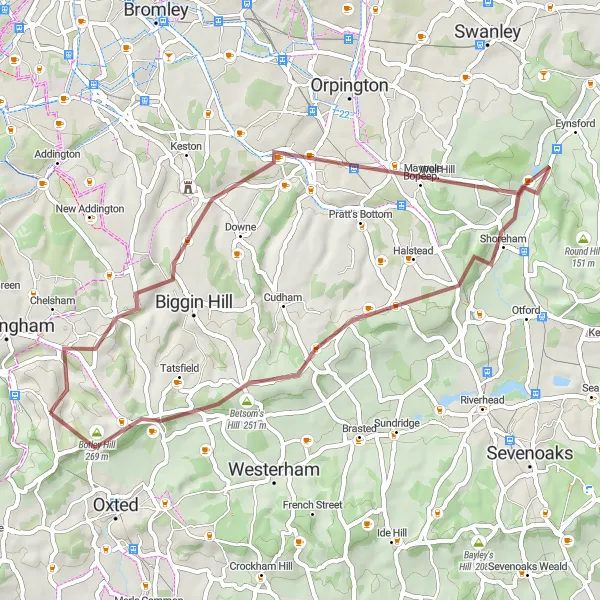
Embark on a gravel cycling adventure from Farnborough to Woldingham
The Farnborough Gravel Escape is an exhilarating gravel route that takes you from Farnborough to Woldingham. Spanning 46 kilometers with an ascent of 632 meters, this off-road adventure offers a thrilling experience for gravel enthusiasts. Highlights along the route include Farnborough, Shoreham, Betsom's Hill, and Woldingham. Immerse yourself in nature as you weave through scenic trails and uncover hidden gems along the way.
Surrey Hills Adventure

Conquer the Surrey Hills on this epic road cycling adventure
Get ready for a challenging yet rewarding cycling adventure through the Surrey Hills. Starting near Woldingham, this route spans a total ascent of 1044 meters and a distance of 109 kilometers. Brace yourself for legendary climbs and awe-inspiring vistas as you conquer the Surrey Hills.
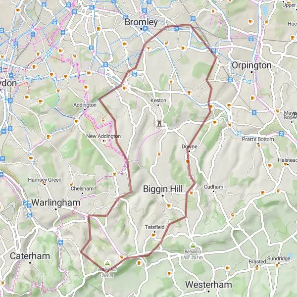
Embark on a gravel adventure through Hayes and beyond
The Hayes Hill Hopper is an exciting gravel route that takes you on an adventurous journey through Hayes and its surrounding areas. Covering a distance of 41 kilometers with an ascent of 470 meters, this route offers a mix of challenging hills and scenic trails. Highlights along the way include Hayes, Downe, Tatsfield, and Botley Hill. Experience the thrill of off-road cycling as you navigate through picturesque countryside and embrace the beauty of nature.
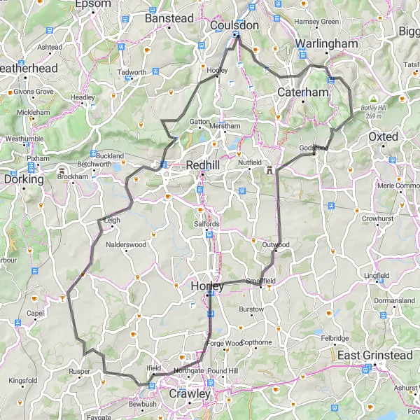
Godstone Gravel Adventure
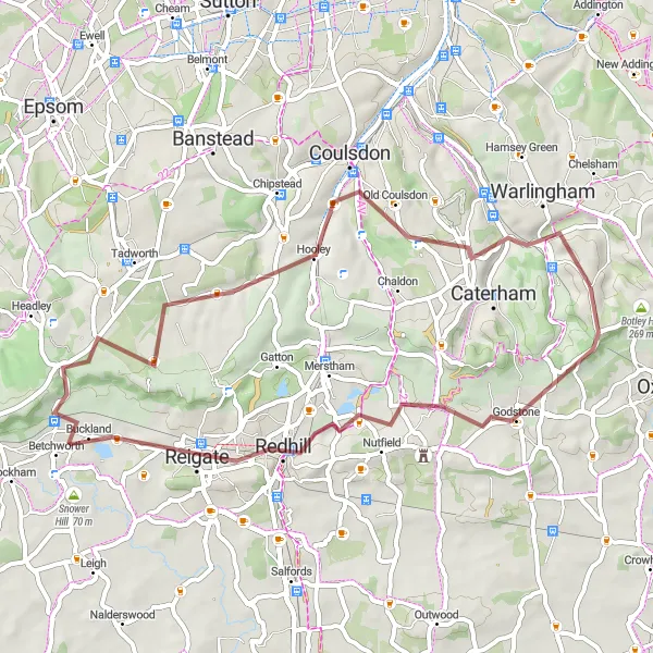
Explore the rugged beauty of the Godstone region
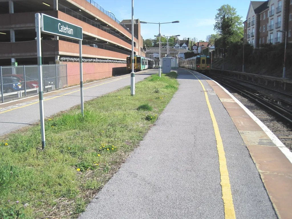
The Godstone Gravel Adventure is a thrilling gravel route that explores the rugged beauty of the Godstone region. Spanning 48 kilometers with an ascent of 565 meters, this route offers a perfect mix of challenging terrain and stunning scenery. Starting near Woldingham, highlights along the route include Godstone, Reigate, Hooley, and Caterham on the Hill. Whether you're a gravel enthusiast or simply love exploring off-road, this route is sure to impress.
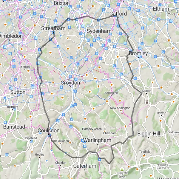
Woldingham Loop
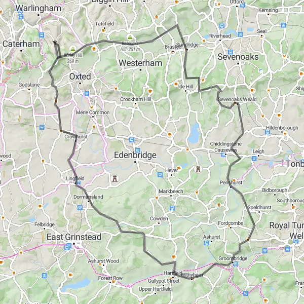
Journey through Surrey's beautiful countryside
The Woldingham Loop is a picturesque cycling route that takes you through the scenic countryside of Surrey. With a total distance of 78 kilometers and an ascent of 1074 meters, this road route offers a challenging yet rewarding ride. The route starts near Woldingham and takes you through notable highlights such as Betsom's Hill, Yorks Hill, Sevenoaks Weald, Hartfield, Lingfield, and Tandridge.
A picturesque route through Surrey hills showcasing stunning scenery and challenging terrain.
The Surrey Hills Meander is a beautiful round-trip cycling route starting near Woldingham. The route takes cyclists through the stunning hills of Surrey, East Sussex, and West Sussex, offering breathtaking views and challenging terrain. With a total distance of 57 kilometers and an ascent of 532 meters, this route is suitable for experienced cyclists looking for a moderate challenge. The combination of quiet country lanes and scenic routes makes it a popular choice for road cycling enthusiasts.
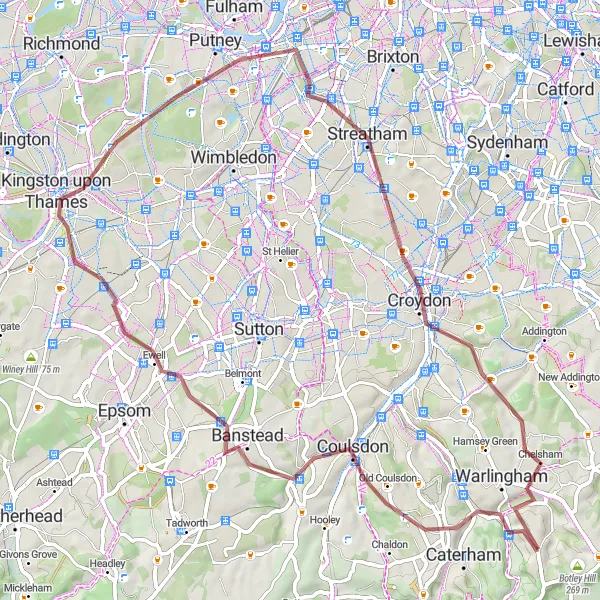
Discover Surrey
Embark on a road cycling adventure through Surrey
Experience the scenic beauty of Surrey on this road cycling route starting near Woldingham. With a total ascent of 656 meters and a distance of 74 kilometers, you'll ride through picturesque landscapes and charming villages. Enjoy the peaceful countryside and discover the hidden gems of Surrey along the way.
Kent and Beyond

Explore the scenic beauty of Kent on this road cycling adventure
Embark on an exhilarating road cycling adventure through the beautiful landscapes of Kent. Starting near Woldingham, this route encompasses a total ascent of 939 meters and a distance of 91 kilometers. Experience the charm of Kent and discover its hidden treasures along the way.
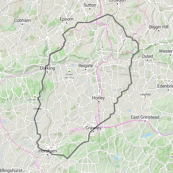
Embark on an epic road cycling adventure in the Surrey Hills
The Surrey Hills Grand Tour is an epic road cycling adventure that takes you through the stunning Surrey Hills. Spanning 99 kilometers with an ascent of 1052 meters, this route offers a challenging yet rewarding experience for road cyclists. Starting near Woldingham, highlights along the route include scenic spots like Blindley Heath, Crawley, Warnham, Dorking, Ranmore Vista, Banstead, and Whyteleafe. Embrace the serenity of the Surrey Hills as you conquer demanding climbs and soak in breathtaking views.
Gravel Adventure
Embark on a gravel adventure from Woldingham
If you're looking for a thrilling gravel adventure, this route starting near Woldingham is perfect for you. With an ascent of 668 meters and a distance of 67 kilometers, it offers a mix of tranquil country lanes and challenging off-road sections. Get ready to explore the scenic landscapes and discover hidden gems along the way.
Cycling routes nearby:
Nearby regions: