Woldingham Loop
A road cycling route starting from Woldingham
Journey through Surrey's beautiful countryside
Map
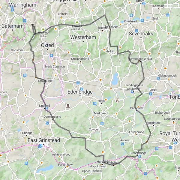
The Woldingham Loop is a picturesque cycling route that takes you through the scenic countryside of Surrey. With a total distance of 78 kilometers and an ascent of 1074 meters, this road route offers a challenging yet rewarding ride. The route starts near Woldingham and takes you through notable highlights such as Betsom's Hill, Yorks Hill, Sevenoaks Weald, Hartfield, Lingfield, and Tandridge.
road
78 km
1074 m
Tough
Route profile
Highlights on the route
0 km
0 km
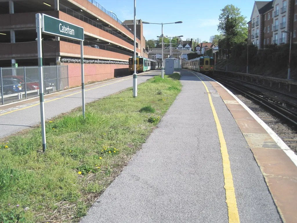
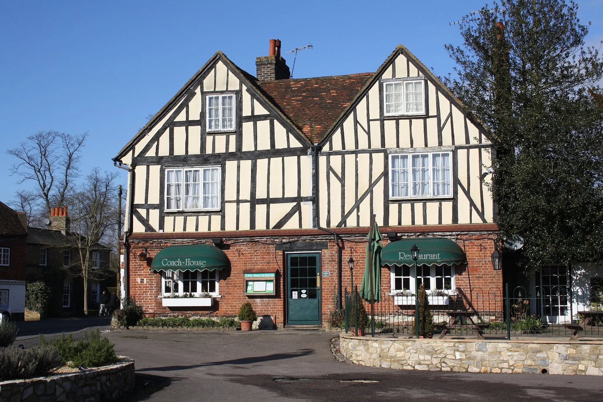
Start: Woldingham Village centerWoldingham: A delightful locality with challenging routes and scenic landscapes in Surrey, East and West Sussex, United Kingdom.
Woldingham, situated in Surrey, East and West Sussex, United Kingdom, is a delightful locality for road and gravel cyclists. With its undulating terrain, Woldingham provides challenging routes that are popular among cycling enthusiasts. The area boasts scenic landscapes, including picturesque countryside and woodlands. Cyclists can visit the nearby Box Hill, a famous climb renowned for its inclusion in the Olympic road race. Woldingham is a fantastic choice for cyclists looking for both a challenging and visually appealing ride.0 km
0 km
WoldinghamVillageWoldingham is the starting point of this route, known for its stunning views over the North Downs.
8 km
8 km
Betsom's Hill251 mPeakBetsom's Hill offers a challenging climb with rewarding panoramic views of the surrounding countryside.
20 km
20 km
Yorks Hill207 mPeakYorks Hill is a popular spot among cyclists, known for its steep gradient and testing ascent.
25 km
25 km
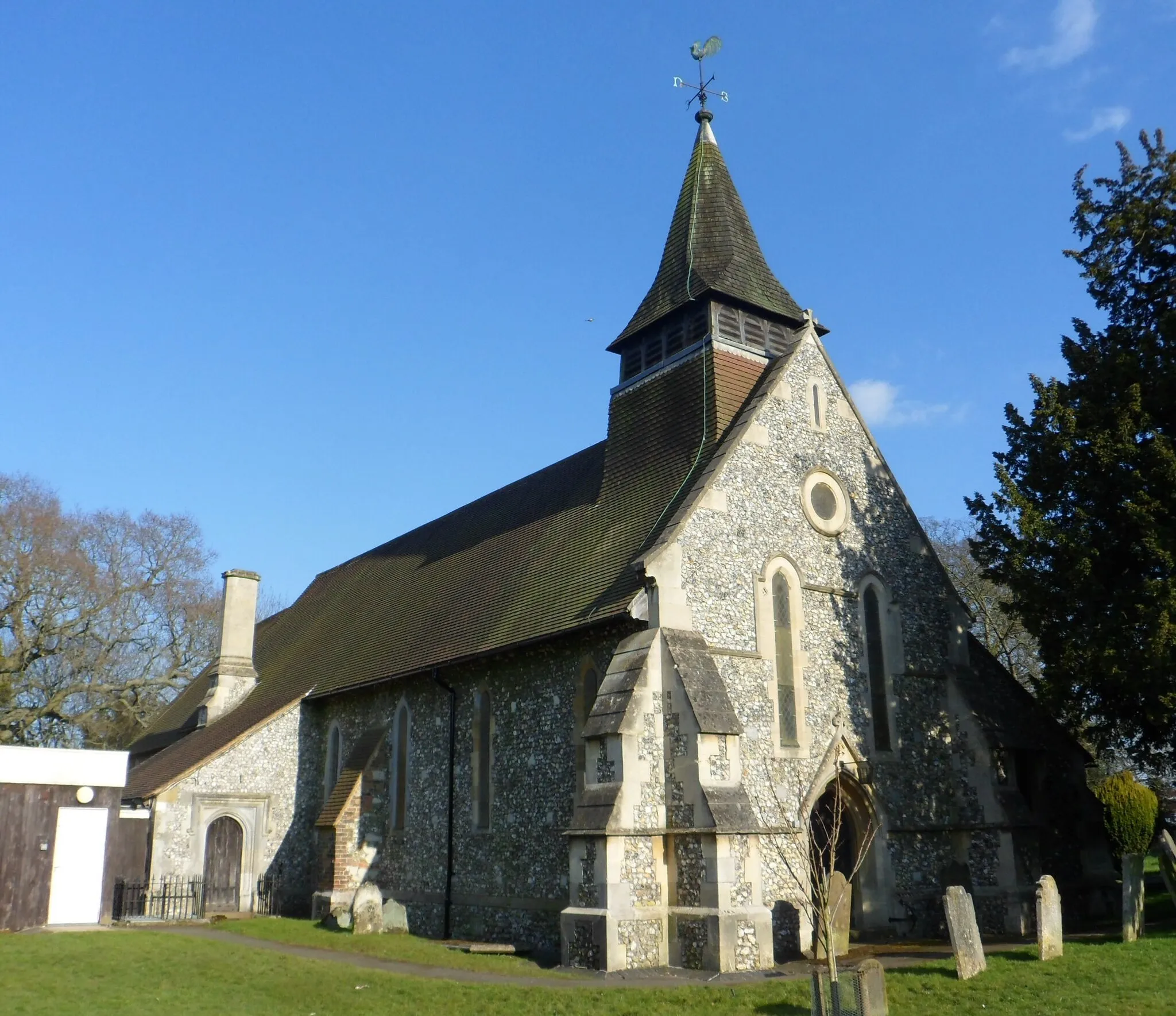
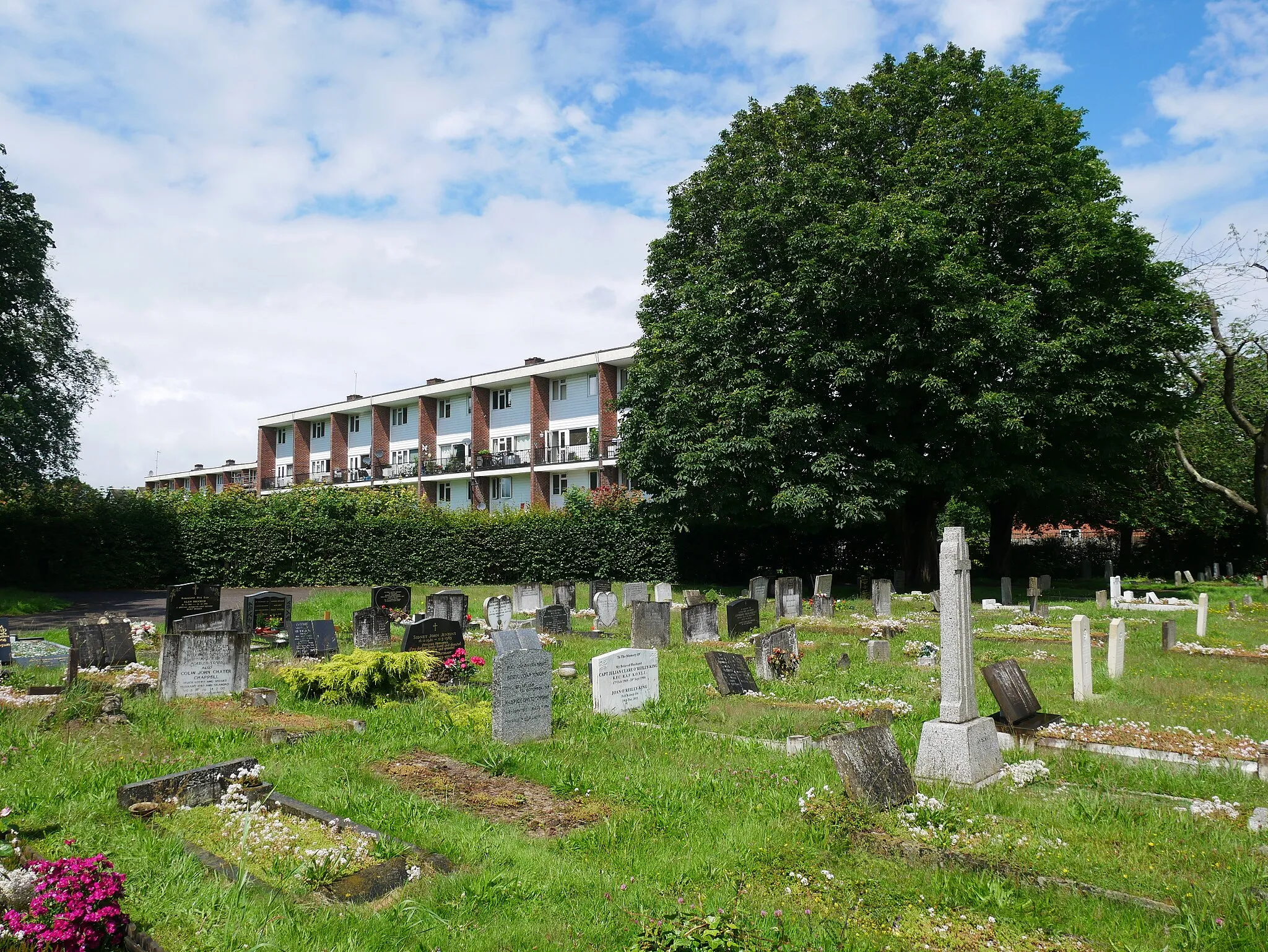
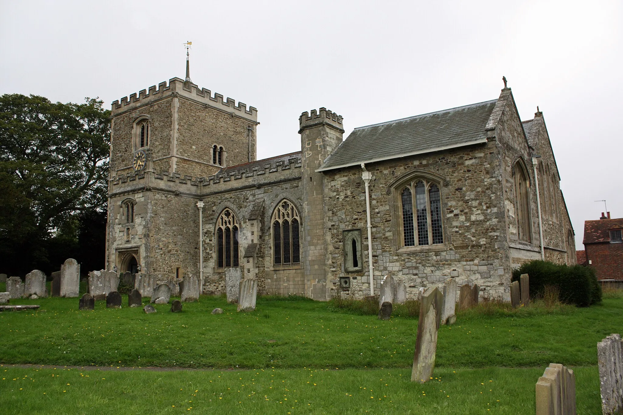
Sevenoaks WealdVillageSevenoaks Weald is a charming village with traditional English architecture, perfect for a rest stop.
49 km
49 km
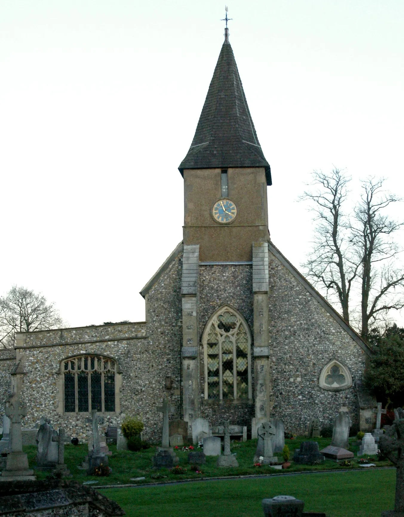
HartfieldVillageHartfield is a quintessential English village, known for its connection to the fictional character Winnie-the-Pooh.
63 km
63 km
LingfieldVillageLingfield is a historic town with a rich racing heritage, home to the iconic Lingfield Park Racecourse.
72 km
72 km
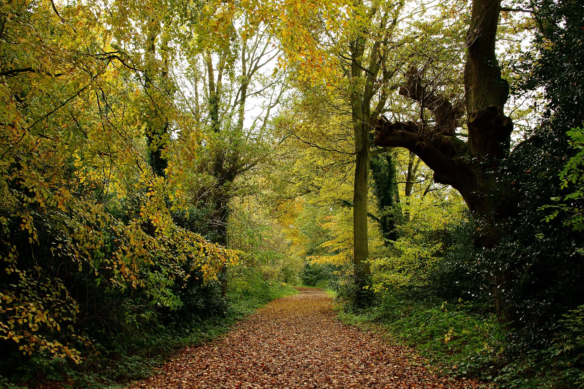
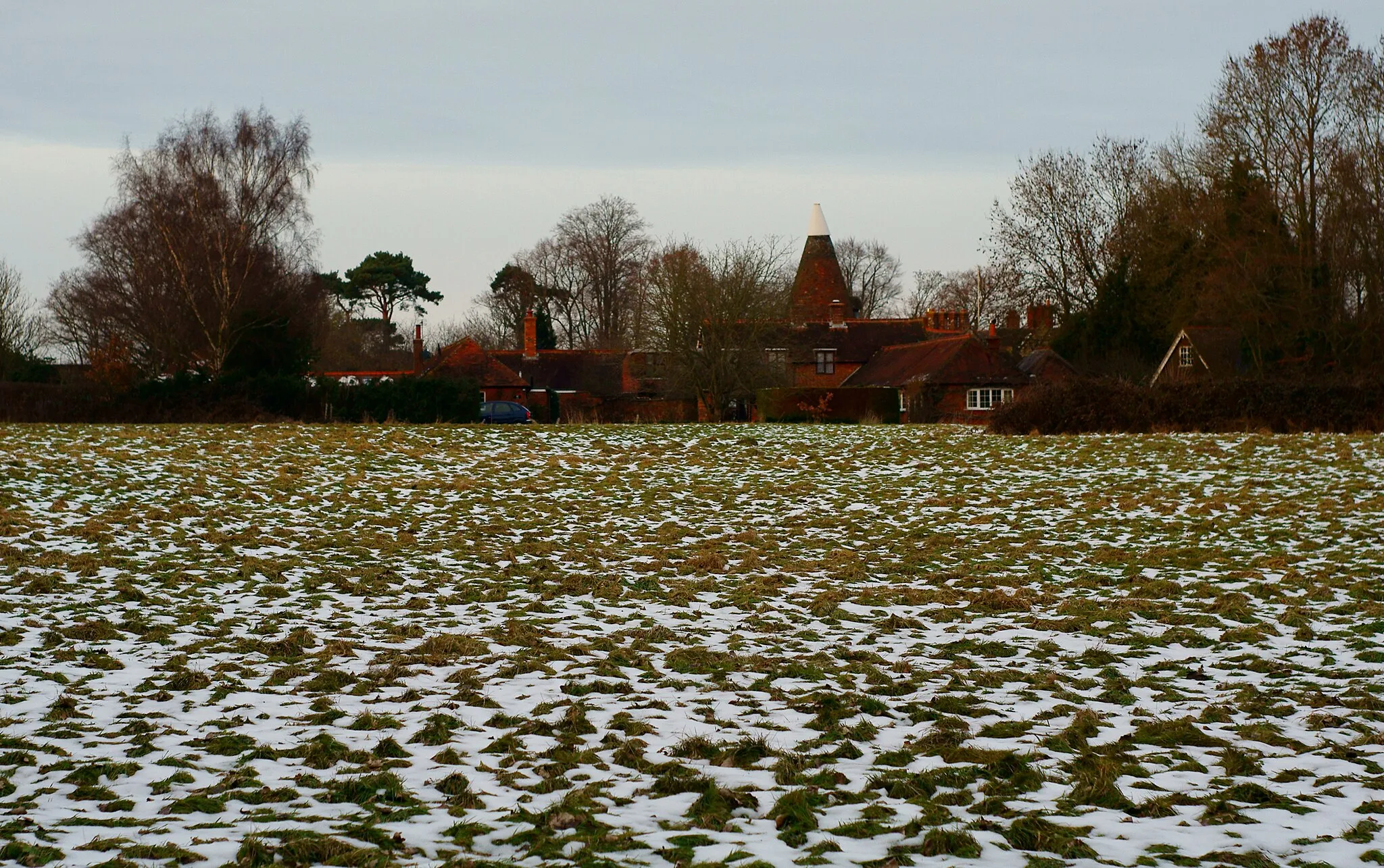
TandridgeVillageTandridge is a picturesque village surrounded by rolling hills and scenic countryside.
78 km
78 km
Finish: Woldingham Village centerWoldingham: A delightful locality with challenging routes and scenic landscapes in Surrey, East and West Sussex, United Kingdom.
Cycling routes nearby: