Picturesque cycling in the heart of the United Kingdom
Cycling routes from Bowburn
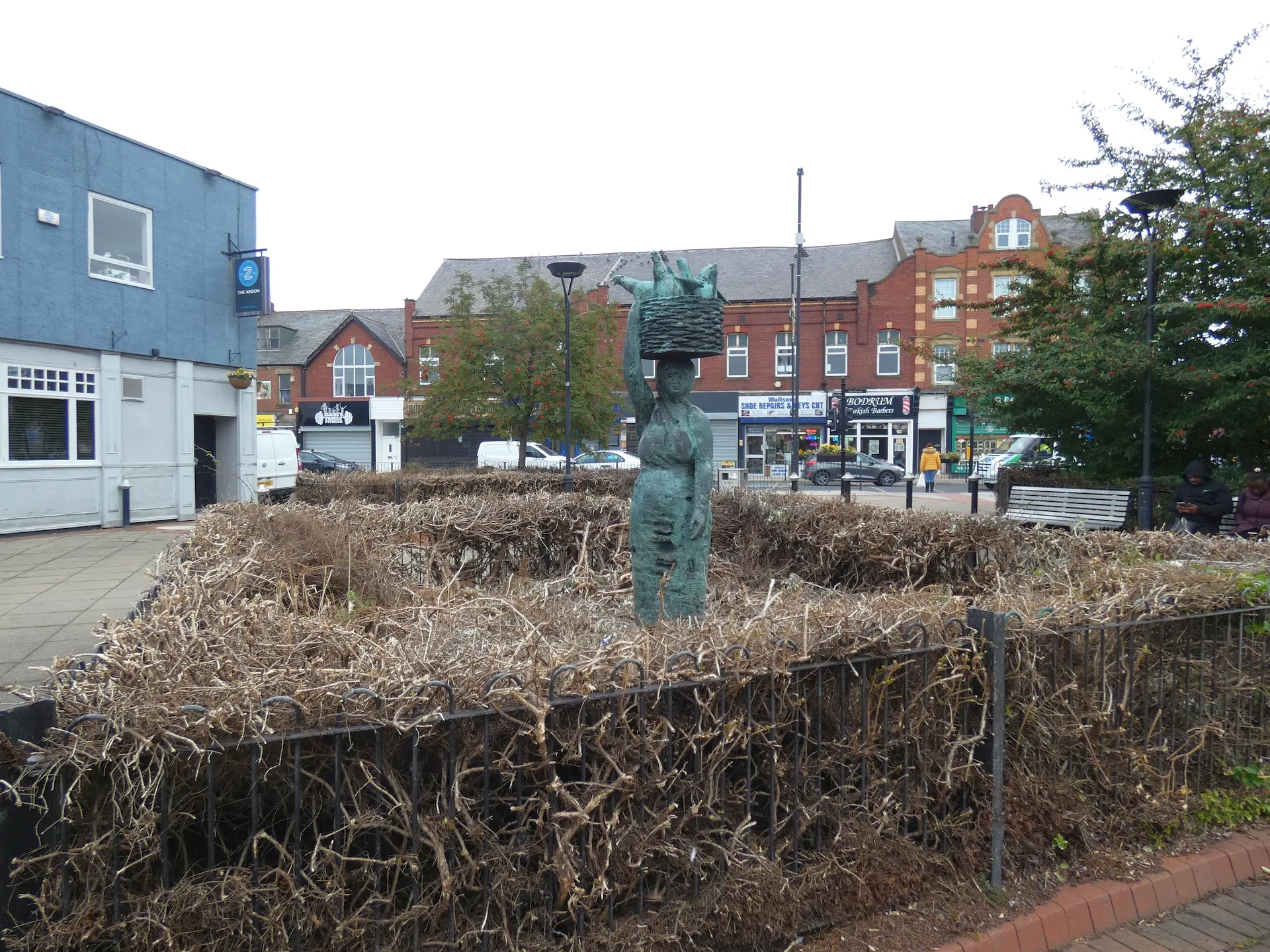
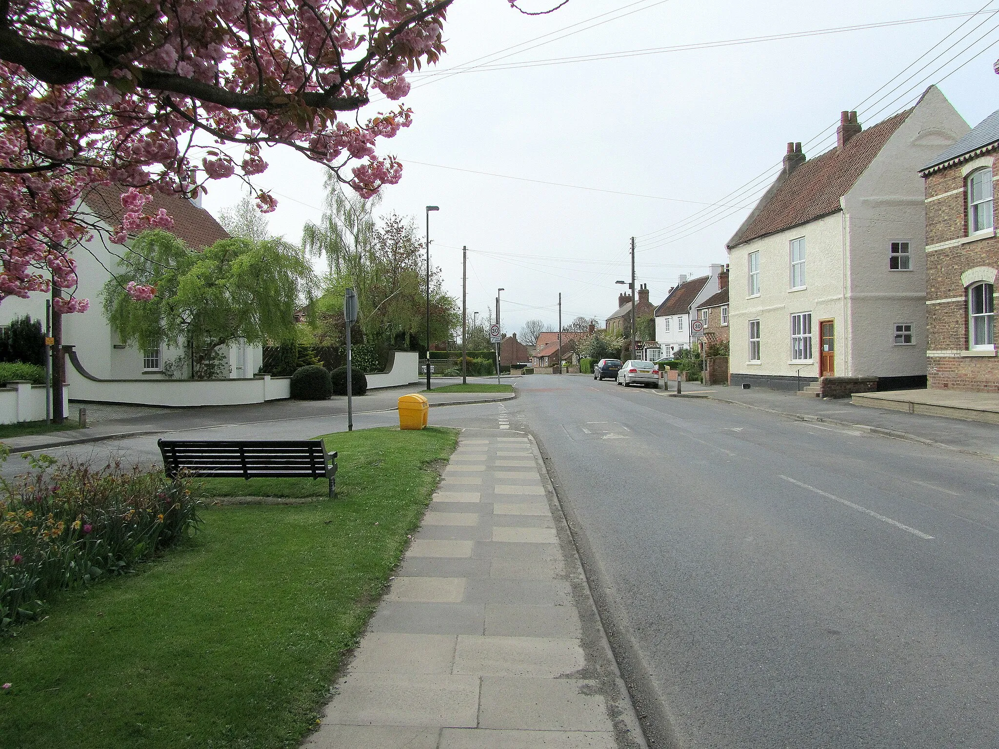
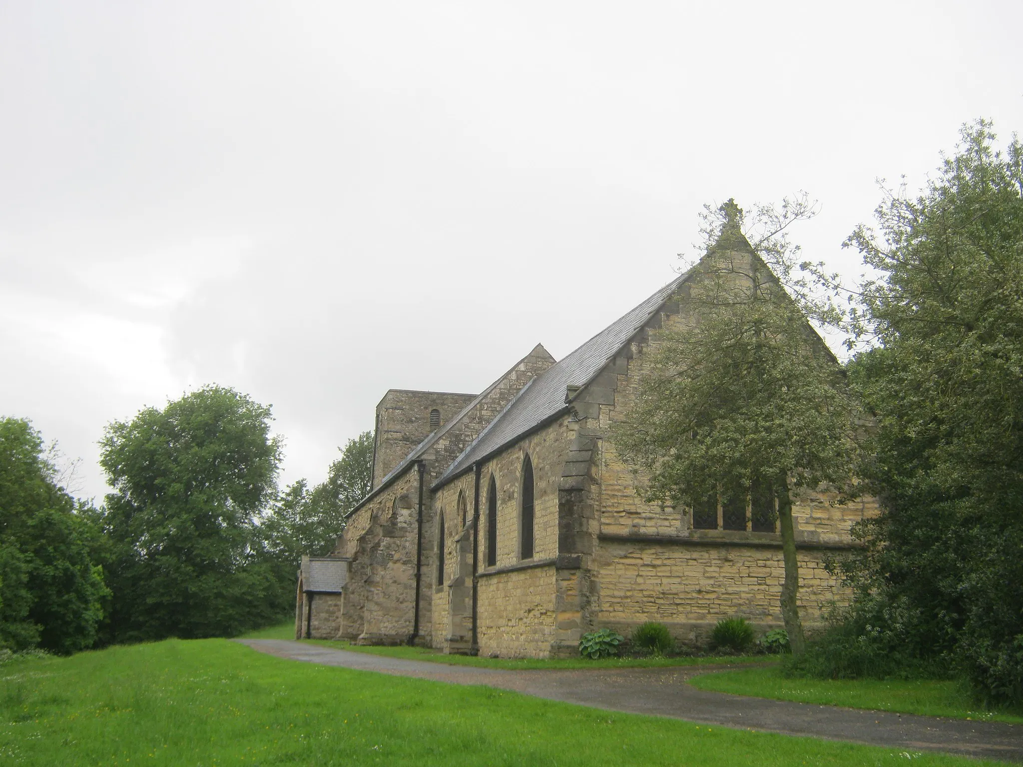
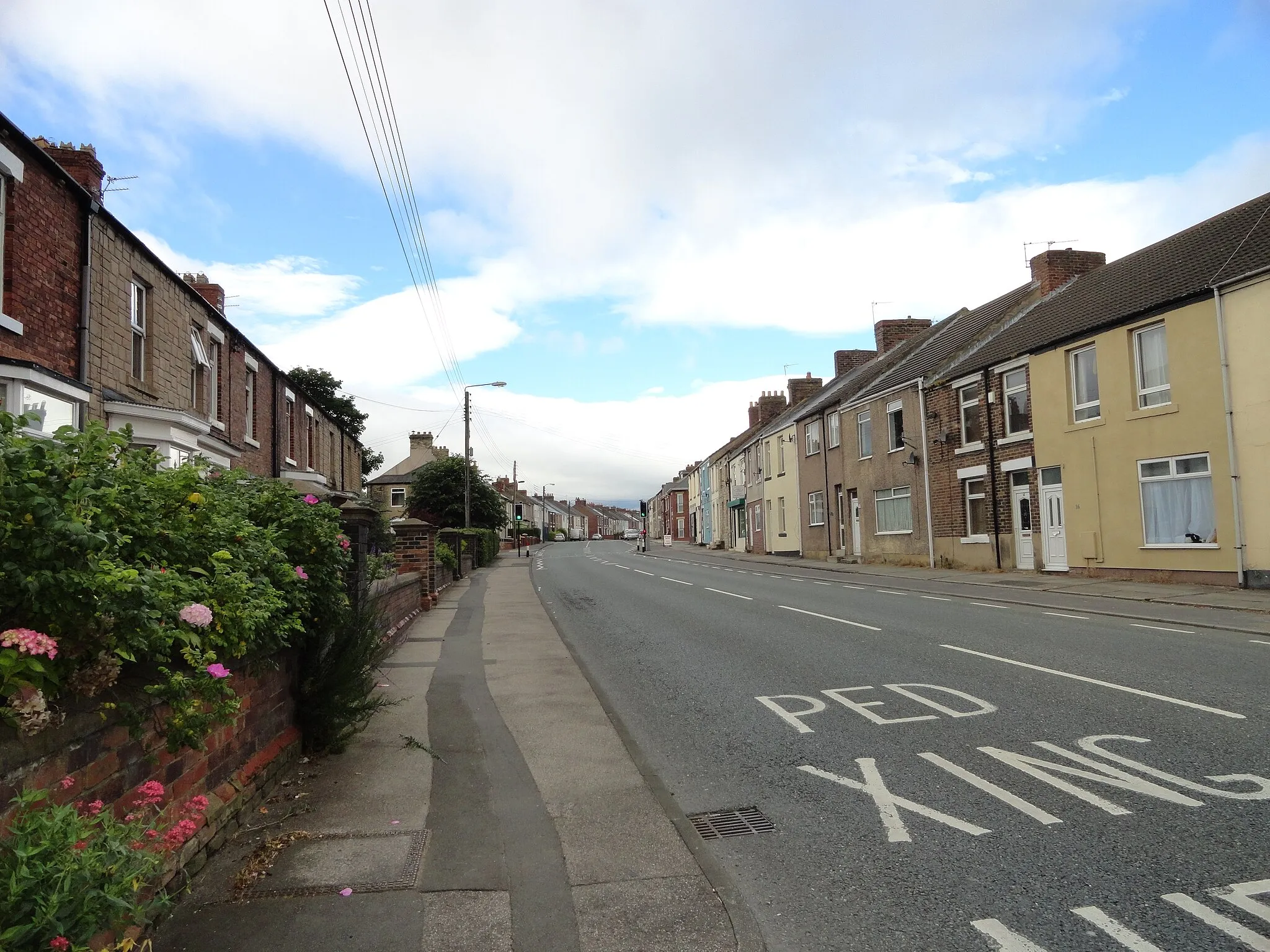
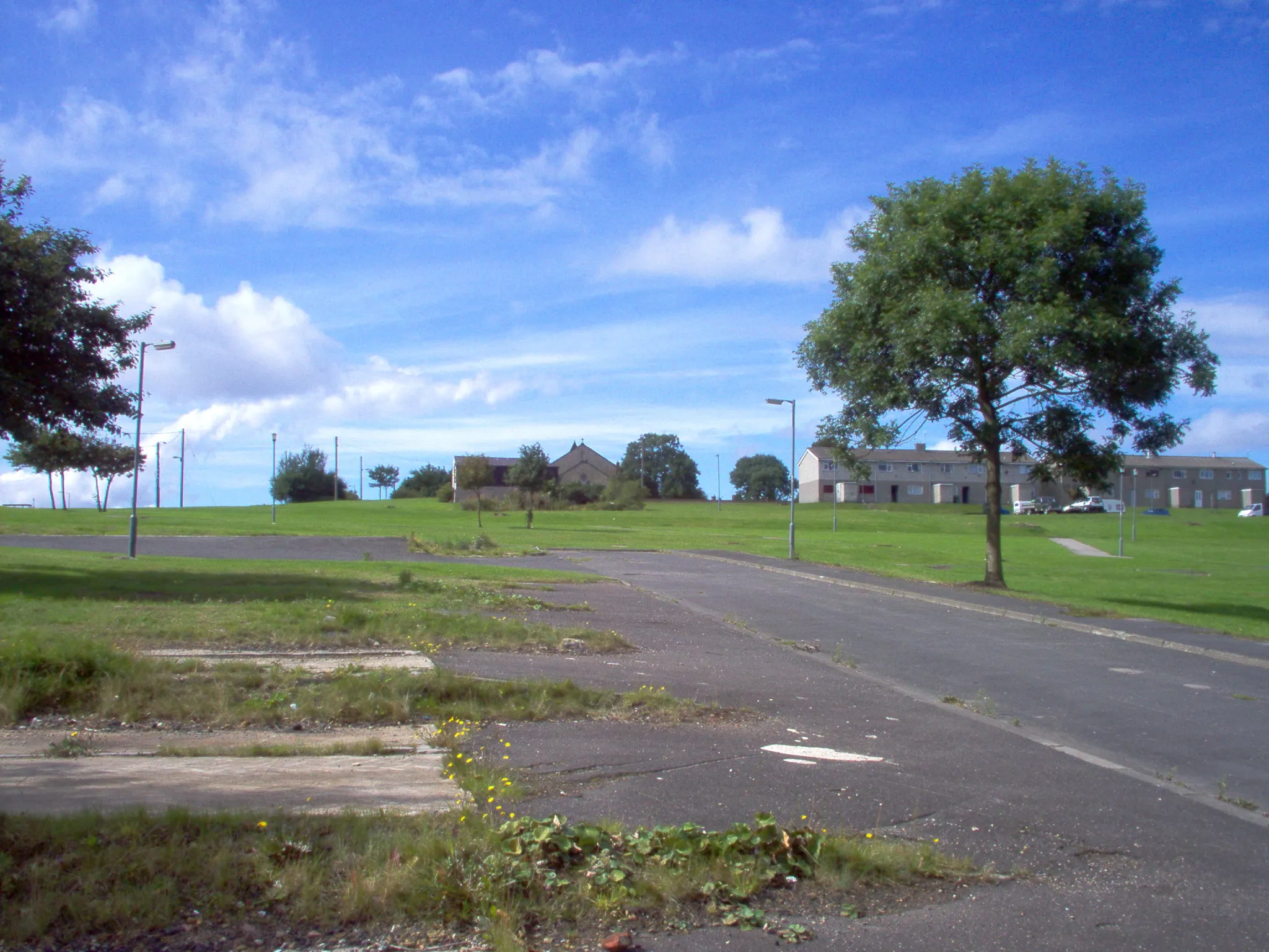
Bowburn, situated in the Tees Valley and Durham region of the United Kingdom, offers a scenic and cyclist-friendly environment. The locality features picturesque countryside roads, perfect for leisurely bike rides. Cyclists can explore the nearby Durham coastline or tackle the challenging climb of Brandon Lane. With its mild weather and charming landscapes, Bowburn provides a pleasant cycling experience for all riders.
Bowburn Gravel Loop

A scenic gravel route with rolling hills and charming villages
Experience the rural beauty of Tees Valley and Durham on this 24 km gravel loop starting near Bowburn. Enjoy stunning views and peaceful countryside as you ride through the villages of Haswell, Thornley, and Old Quarrington. With only 172 meters of ascent, this route is suitable for beginner and intermediate gravel riders. Immerse yourself in nature and discover the hidden gems of this picturesque region.
An epic gravel adventure through diverse landscapes and vibrant towns
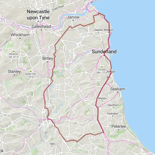
Embark on an 86 km gravel adventure starting near Bowburn and discover the hidden gems of Tees Valley and Durham. This route will take you through vibrant towns like Chester-le-Street and Sunderland, offering a mix of natural beauty and cultural attractions. With 614 meters of ascent, this challenging ride is perfect for seasoned gravel cyclists looking to explore the region's diverse landscapes. From viewing galleries to historic hills, every highlight along the way promises a unique experience.
A challenging road route through scenic countryside and historic landmarks
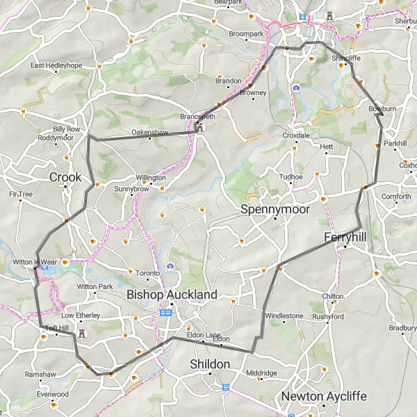
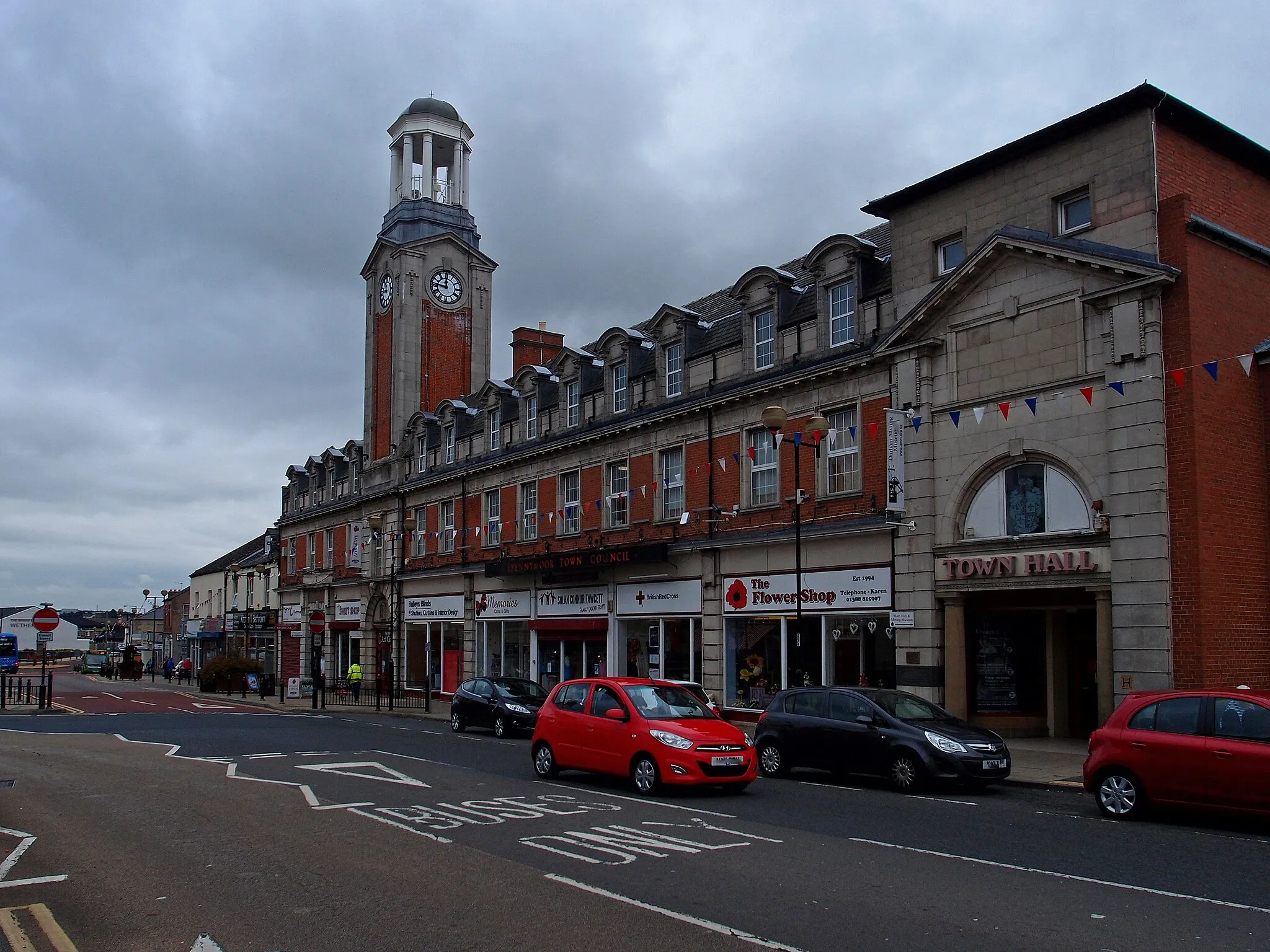
Embark on a 55 km road adventure starting near Bowburn and explore the beautiful landscapes and historic sites of Tees Valley and Durham. This route includes highlights such as Ferryhill, West Auckland, Witton le Wear, Brancepeth Castle, and Observatory Hill. With 651 meters of ascent, it is suitable for experienced road cyclists seeking a challenging and rewarding ride. Discover the rich heritage and breathtaking views along the way, making this journey unforgettable.
The Magnificent Dales

A scenic adventure through the Dales
The Magnificent Dales is a road cycling route starting near Bowburn. With a distance of 139 kilometers and an ascent of 1921 meters, this route is suitable for experienced cyclists seeking a challenging and picturesque ride. It takes riders through the stunningly beautiful Yorkshire Dales, with breathtaking views of rolling hills, charming villages, and majestic dales. The route offers a mix of climbs, descents, and scenic stretches, providing an unforgettable experience for cycling enthusiasts.
The Castle Quest

Ride to historical castles
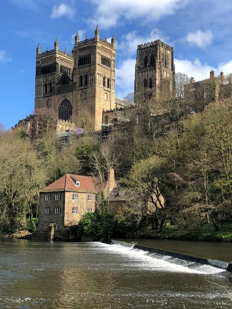
The Castle Quest is a road cycling route starting near Bowburn. With a distance of 107 kilometers and an ascent of 1149 meters, this route is suitable for experienced cyclists seeking a longer and more challenging ride. It takes riders on a journey to several historical castles, including Durham Castle and offers sweeping views along the way. The route provides a mix of steep climbs, fast descents, and scenic stretches, offering a rewarding experience for avid cyclists.
The Ferryhill Circuit

Through the charming Ferryhill
The Ferryhill Circuit is a road cycling route starting near Bowburn. It takes riders through the picturesque village of Ferryhill, offering stunning views of the surrounding countryside. With a distance of 116 kilometers and an ascent of 1272 meters, this route is perfect for intermediate cyclists. It provides a scenic and challenging experience with several notable highlights along the way.
The Coniscliffe Dash
A swift ride to Coniscliffe
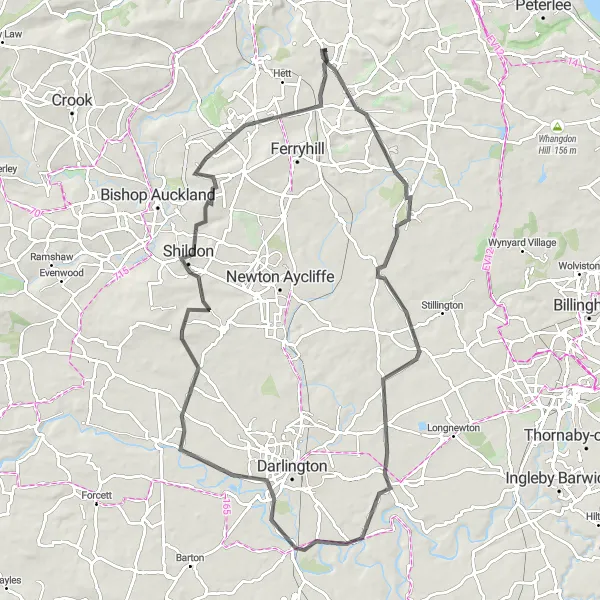
The Coniscliffe Dash is a road cycling route starting near Bowburn. With a distance of 82 kilometers and an ascent of 574 meters, this route is suitable for intermediate cyclists seeking a shorter but challenging ride. It takes riders through the picturesque town of Sedgefield and highlights the scenic countryside surrounding Bowburn. The route showcases beautiful landscapes along with a few notable highlights along the way.
Bowburn Road Challenge
A challenging road route with stunning natural beauty and historical landmarks
Take on the Bowburn Road Challenge, an 82 km cycling route featuring stunning natural beauty and historical landmarks near Tees Valley and Durham. This challenging ride includes highlights such as Observatory Hill, Durham Castle, and Houghton-le-Spring. With 765 meters of ascent, it is recommended for experienced road cyclists in search of a memorable adventure. Explore the rich history, picturesque landscapes, and charming villages along the way, making this an exciting journey for all.

Off-road adventure near Seaham
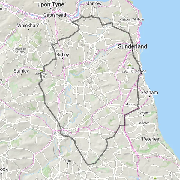
The Gravel Trails of Seaham is a gravel cycling route starting near Bowburn. With a distance of 50 kilometers and an ascent of 359 meters, this route is suitable for cyclists looking for an off-road adventure. It takes riders through the scenic countryside around Seaham, offering opportunities to explore charming villages and natural surroundings. The route provides a mix of challenging trails and peaceful landscapes, making it ideal for gravel enthusiasts.

An epic road adventure featuring legendary climbs and iconic landmarks
Embark on the Bowburn Ultimate Road Adventure, a 116 km route filled with legendary climbs and iconic landmarks near Tees Valley and Durham. From Observatory Hill to Segedunum Fort Viewing Tower, this epic journey offers cycling enthusiasts the opportunity to conquer challenging ascents and witness breathtaking views. With 957 meters of ascent, this route demands a high level of fitness and skill. Immerse yourself in the region's rich history and awe-inspiring natural beauty as you tackle the trails and conquer the hills.
Cycling routes nearby:
Nearby regions: