Discover the Natural Beauty of Tees Valley and Durham
Cycling routes from Coxhoe
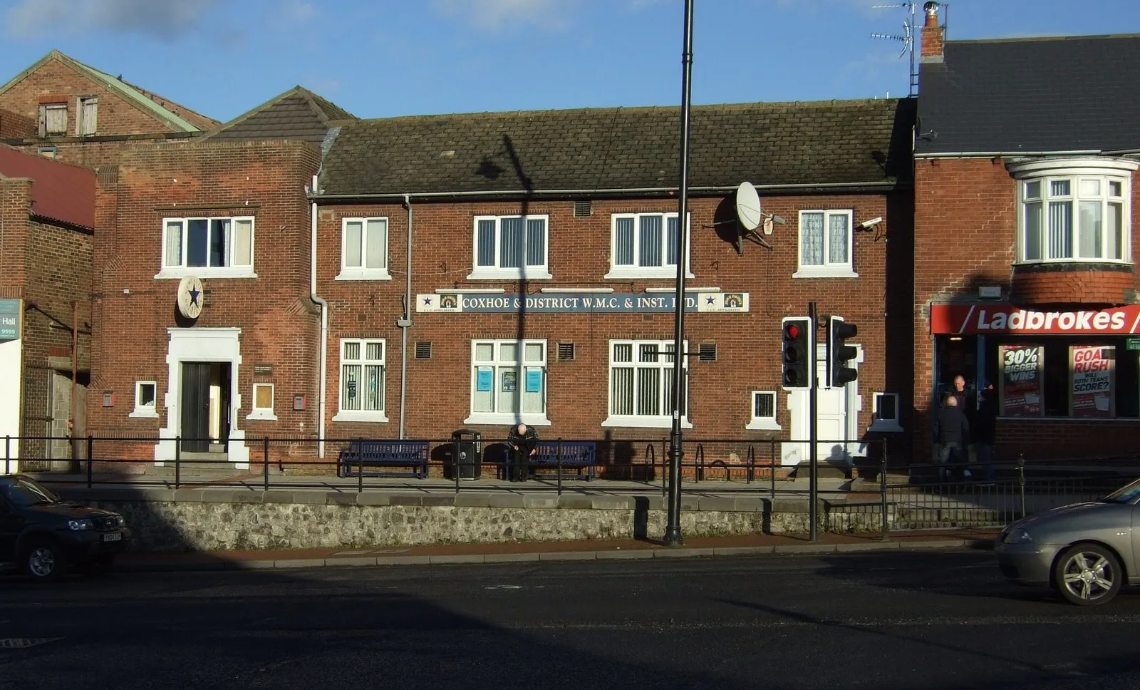
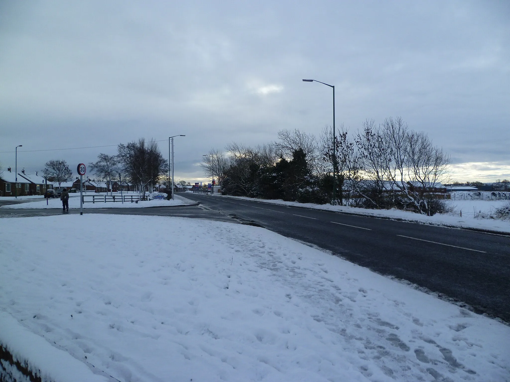
Coxhoe is a locality located in the Tees Valley and Durham region of the United Kingdom. From a cyclist's perspective, Coxhoe is an excellent base for exploring the stunning landscapes and historical sites of the surrounding area. The roads in Coxhoe are cyclist-friendly and offer scenic routes through picturesque villages and beautiful countryside. Additionally, Coxhoe is close to famous cycling spots such as the iconic Hartside Pass, a challenging climb loved by cyclists. With its strategic location and captivating scenery, Coxhoe is a desirable destination for both road and gravel cyclists.
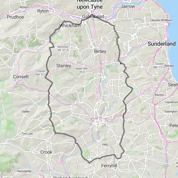
Immerse yourself in the heritage of Durham on this challenging road cycling route
The Durham Heritage Ride is a challenging road cycling route starting near Coxhoe. It covers a distance of 93 kilometers with a total ascent of 1055 meters. The route takes you through historic sites and stunning landscapes in Durham. The difficulty level of this route is rated as 4 out of 5, suitable for experienced cyclists. The epicness score for this route is 4 out of 5, offering a challenging and rewarding adventure.

Embark on an adventurous gravel journey through Esh
The Esh Gravel Adventure is a thrilling gravel cycling route starting near Coxhoe. It covers a distance of 65 kilometers with a total ascent of 592 meters. The route takes you through the scenic countryside of Esh and offers stunning views along the way. The difficulty level of this route is rated as 3 out of 5, suitable for intermediate-level cyclists. The epicness score for this route is 4 out of 5, promising an exciting and memorable journey.
Explore the scenic countryside of County Durham on this road cycling route
The County Durham Loop is a picturesque road cycling route starting near Coxhoe. It covers a distance of 64 kilometers with a total ascent of 454 meters. The route takes you through beautiful rural landscapes and charming towns. The difficulty level of this route is rated as 2 out of 5, suitable for moderately experienced cyclists. The epicness score for this route is 2 out of 5, offering a pleasant and enjoyable journey.
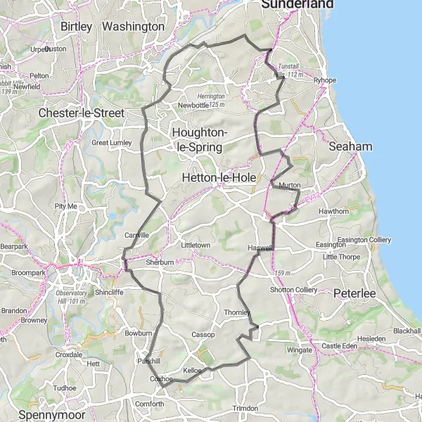
Sherburn Gravel Loop
Discover the beauty of Sherburn on this gravel cycling route
The Sherburn Gravel Loop is a scenic gravel cycling route starting near Coxhoe. It covers a distance of 44 kilometers with a total ascent of 310 meters. The route takes you through the charming village of Sherburn and offers beautiful countryside views. The difficulty level of this route is rated as 2 out of 5, suitable for moderately experienced cyclists. The epicness score for this route is 3 out of 5, providing a rewarding and enjoyable experience.

Explore the scenic countryside around Aycliffe.
The Aycliffe Loop is a road cycling route that takes you through the picturesque countryside near Aycliffe. With a distance of 52 km and an ascent of 532 meters, this route provides a scenic and enjoyable cycling experience. Ride through charming villages, picturesque landscapes, and rolling hills as you discover the beauty of this area.

Cycle through Sherburn and enjoy the beautiful scenery.
This route is a pleasant loop that takes you through the village of Sherburn and offers scenic views along the way. With a total distance of 56 km and an ascent of 384 meters, this gravel route is suitable for cyclists of all levels. Experience the charm of Sherburn and its surrounding countryside on this enjoyable ride.
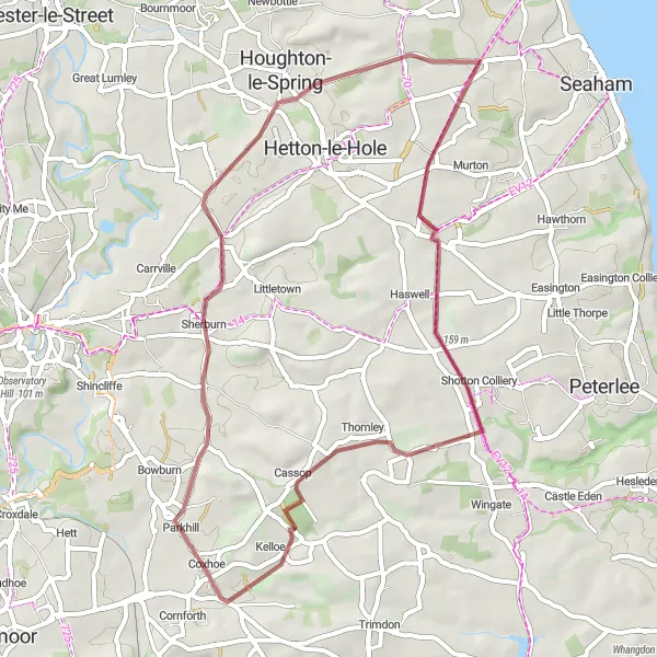
Ferryhill Circular

A scenic road route passing through Ferryhill Station
The Ferryhill Circular route is a scenic road cycling route starting near Coxhoe. It covers a distance of 58 kilometers with a total ascent of 586 meters. The route takes you through picturesque landscapes and charming villages. The difficulty level of this route is rated as 3 out of 5, making it suitable for well-trained amateurs. The epicness score for this route is 3 out of 5, offering a good balance between challenge and enjoyment.
Lakeside Loop
Cycle around the scenic lakes in the Coxhoe area.
The Lakeside Loop is a gravel cycling route that takes you on a scenic journey around the lakes near Coxhoe. With a total distance of 78 km and an ascent of 598 meters, this route offers beautiful views of the surrounding countryside. Enjoy a leisurely ride as you pass by tranquil lakes and peaceful nature spots, creating a serene and peaceful atmosphere on your cycling adventure.
Embark on a challenging road ride through the Durham Hills.
The Durham Hills Challenge is an epic road cycling route that takes you through some of the most beautiful and hilly areas in the region. With a distance of 109 km and an ascent of 1278 meters, this route is suited for experienced cyclists seeking a demanding ride. Enjoy sweeping views, rolling hills, and challenging climbs as you make your way through this picturesque landscape.

Experience the serene countryside on this scenic road ride.
The Countryside Escapade is a road cycling route that takes you through the tranquil countryside near Coxhoe. With a distance of 64 km and an ascent of 708 meters, this route offers picturesque views and a serene cycling experience. Enjoy the peacefulness of the countryside as you pedal through charming villages and rolling hills on this delightful route.
Cycling routes nearby:

Nearby regions: