The Durham Hills Challenge
A road cycling route starting from Coundon
An adventurous road cycling route with significant elevation gain
Map
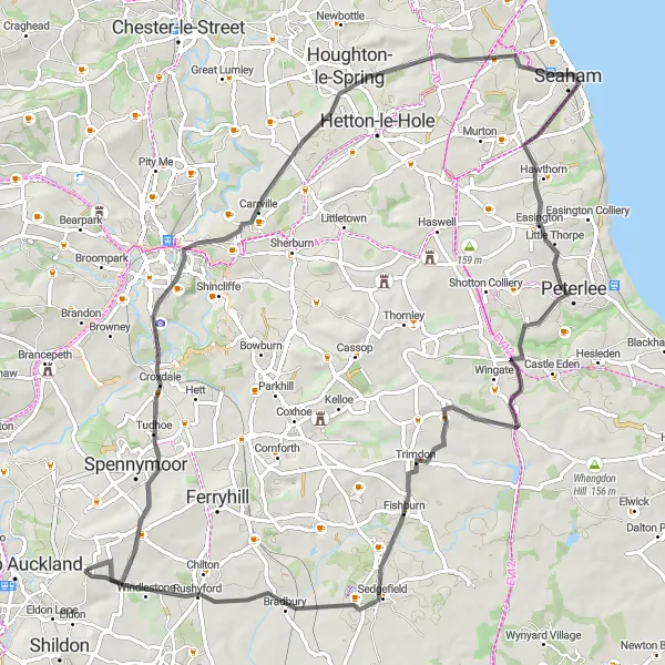
The Durham Hills Challenge is an adventurous road cycling route that takes riders through hilly terrain and offers breathtaking views. Covering a distance of 78 kilometers and featuring an ascent of 759 meters, this route is suitable for experienced cyclists seeking a challenging ride. The highlight of this route is Rushyford, a charming village renowned for its natural beauty and peaceful ambiance.
road
78 km
759 m
Tough
Route profile
Highlights on the route
0 km
0 km
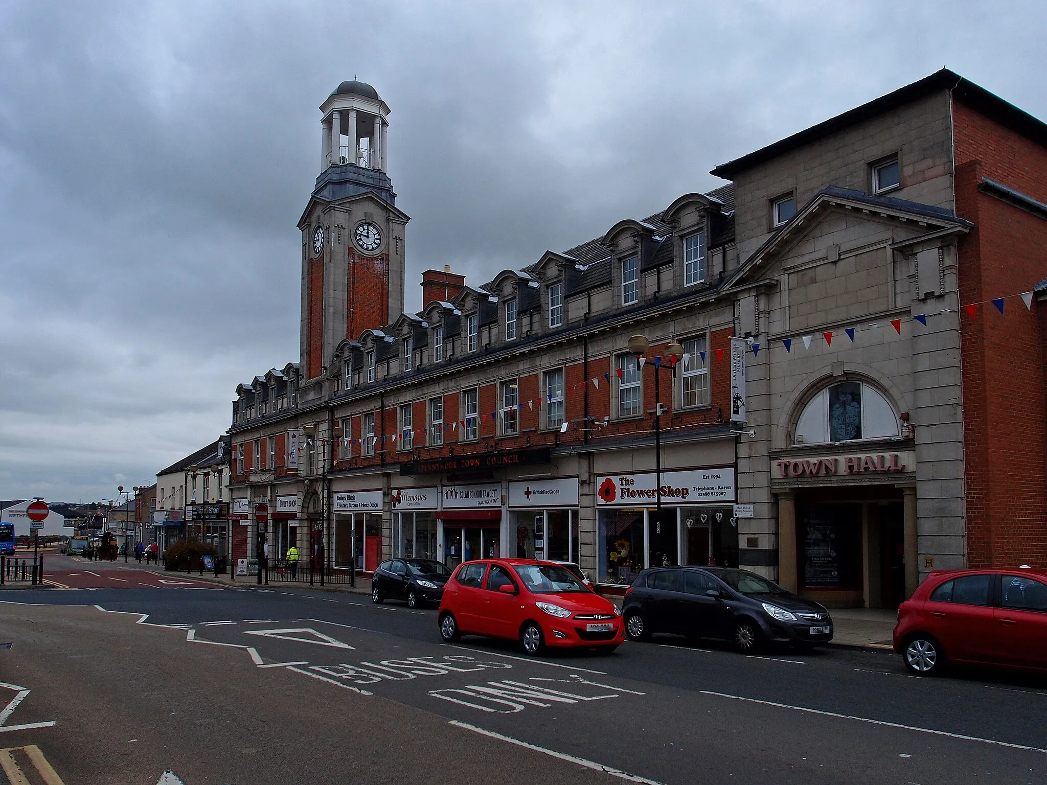
Start: Coundon Village centerCoundon: Exploring the tranquil countryside of Coundon on two wheels
Coundon is a locality located in the Tees Valley and Durham region of the United Kingdom. From a cyclist's perspective, Coundon offers a pleasant cycling experience with its peaceful country roads and scenic landscapes. Cyclists can enjoy leisurely rides while taking in the charm of the surrounding countryside and passing through traditional villages. While Coundon may not have any well-known cycling spots or legendary climbs in its immediate vicinity, it serves as a great base for exploring the wider Tees Valley and Durham region by bike.2 km
2 km
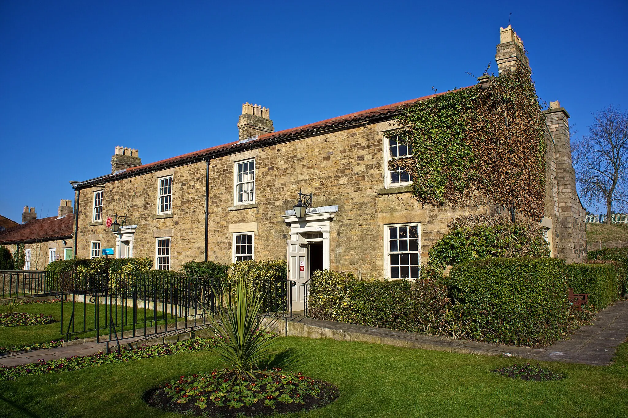
LeasingthorneHamletLeasingthorne is a small village along the route known for its historical significance and traditional charm.
14 km
14 km
Observatory Hill101 mPeak ViewpointObservatory Hill offers stunning panoramic views of the surrounding landscape, making it a great spot for photographs.
28 km
28 km
Warden LawHamletWarden Law is a site of natural beauty and an important landmark along the route.
42 km
42 km
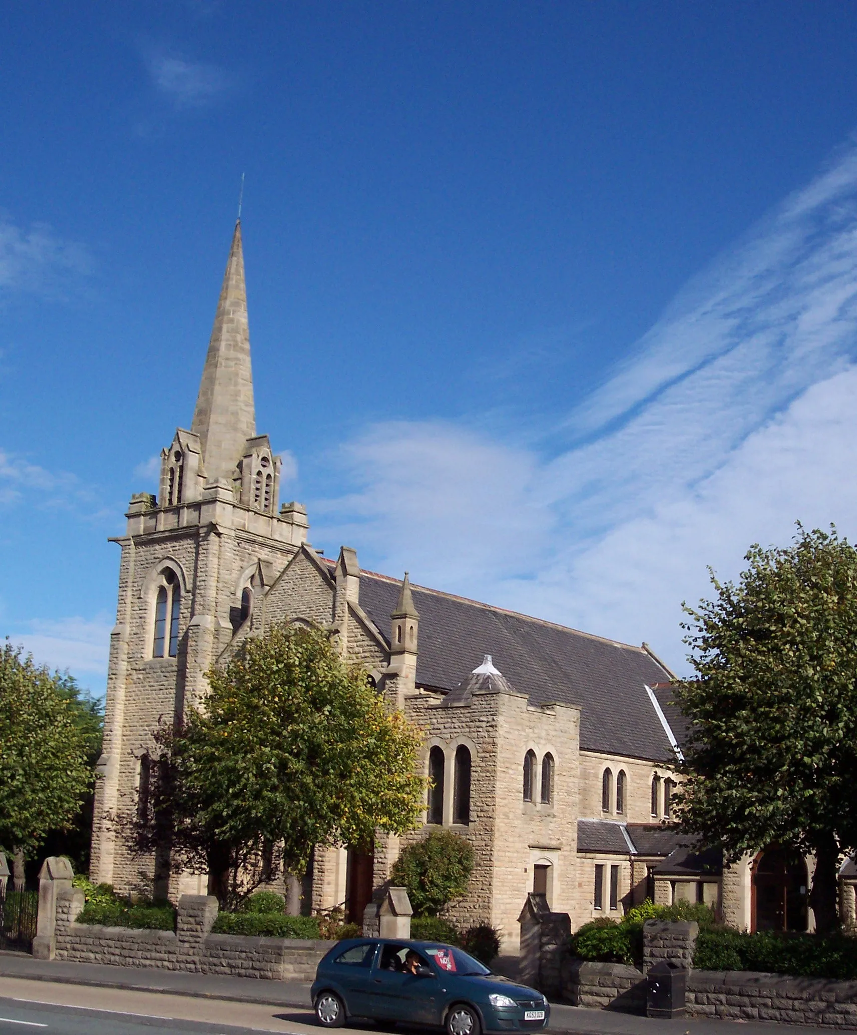
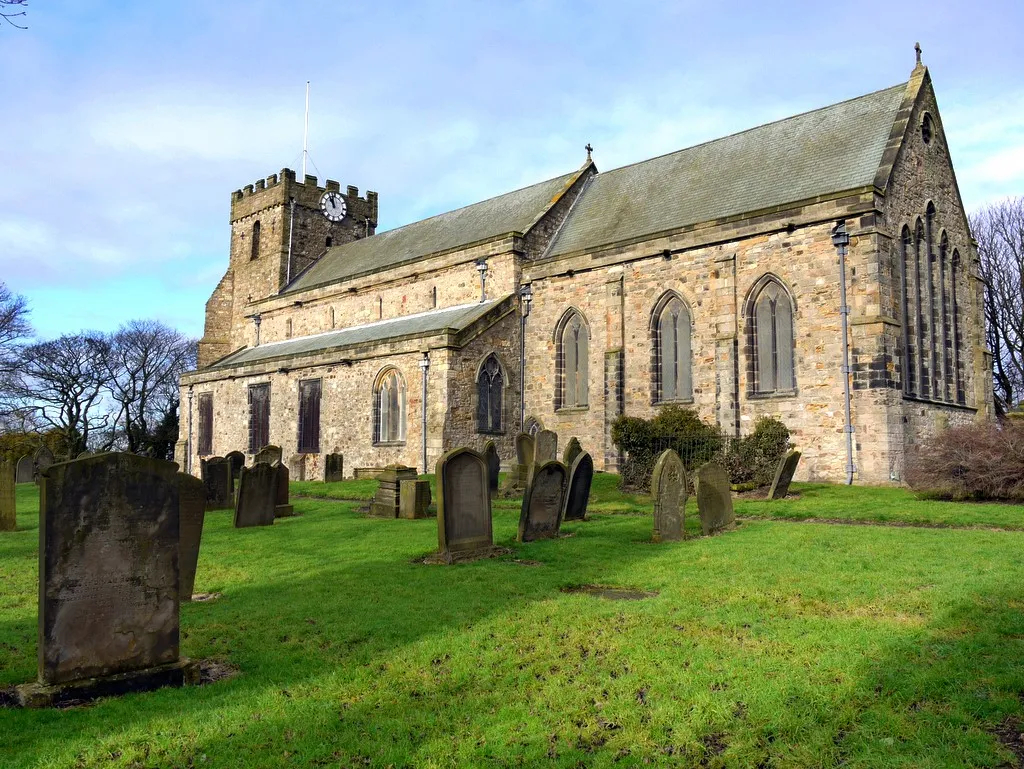
EasingtonVillageEasington is a historic village with a rich heritage and a picturesque setting.
73 km
73 km
RushyfordVillageRushyford is a highlight of this route, with its beautiful countryside and serene atmosphere.
78 km
78 km
Finish: Coundon Village centerCoundon: Exploring the tranquil countryside of Coundon on two wheels
Cycling routes nearby: