Serene cycling through the rolling hills of Wales.
Cycling routes from Cwmafan
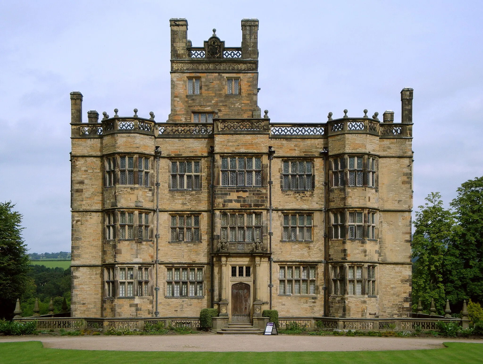
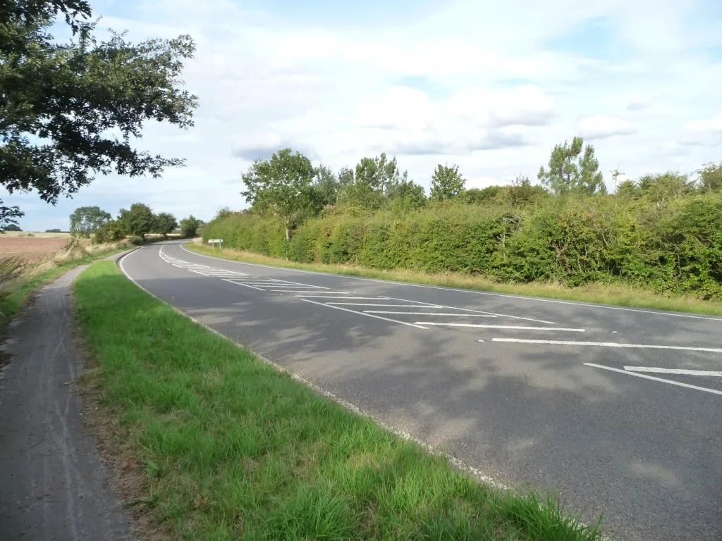
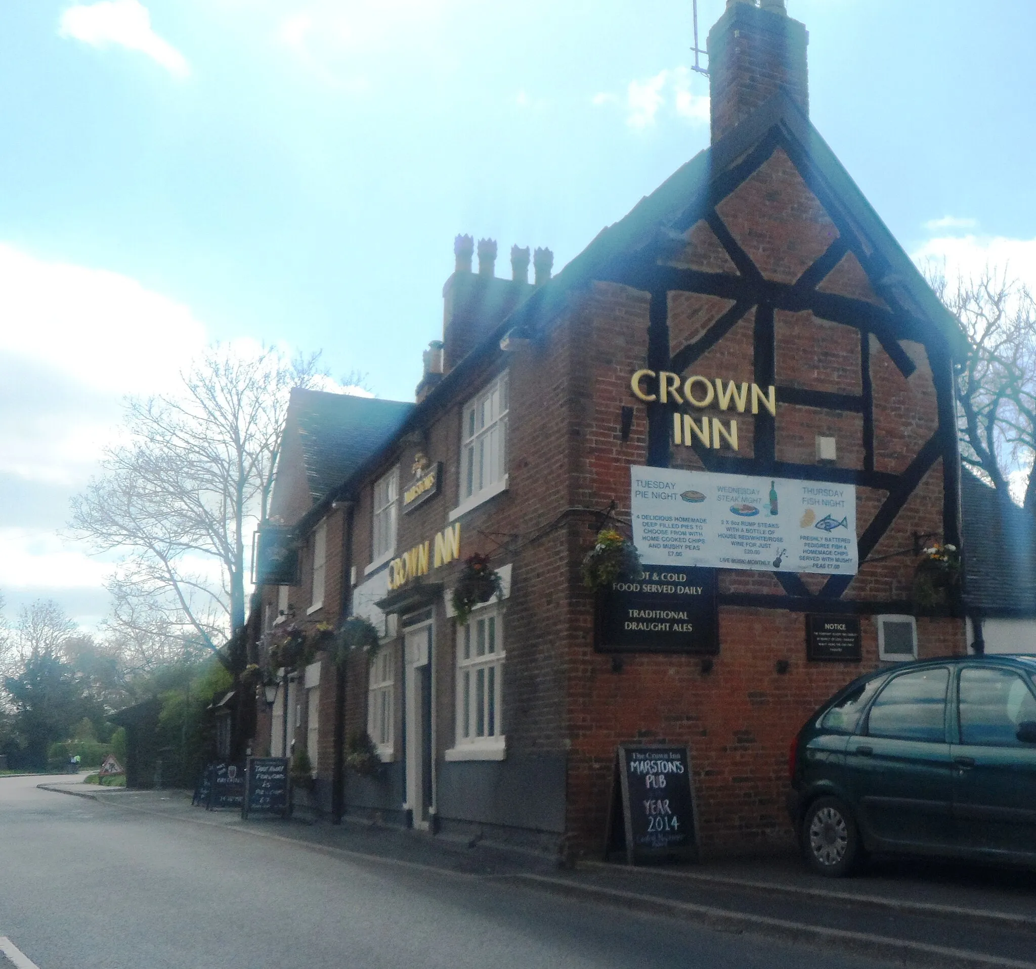
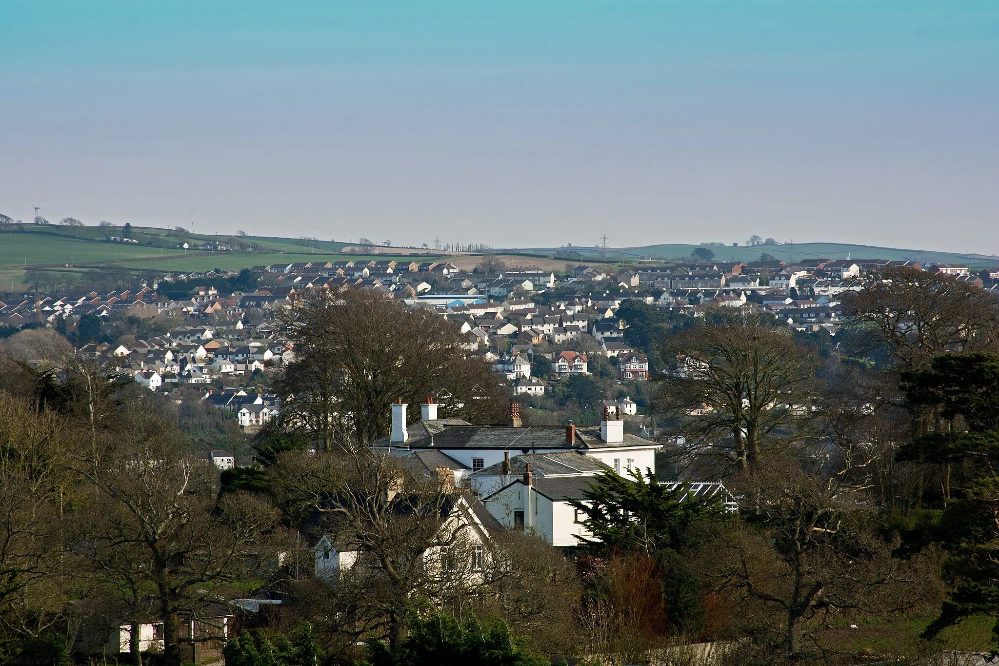
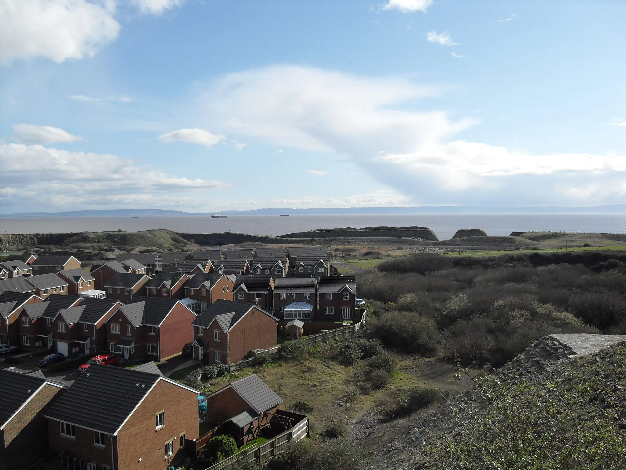
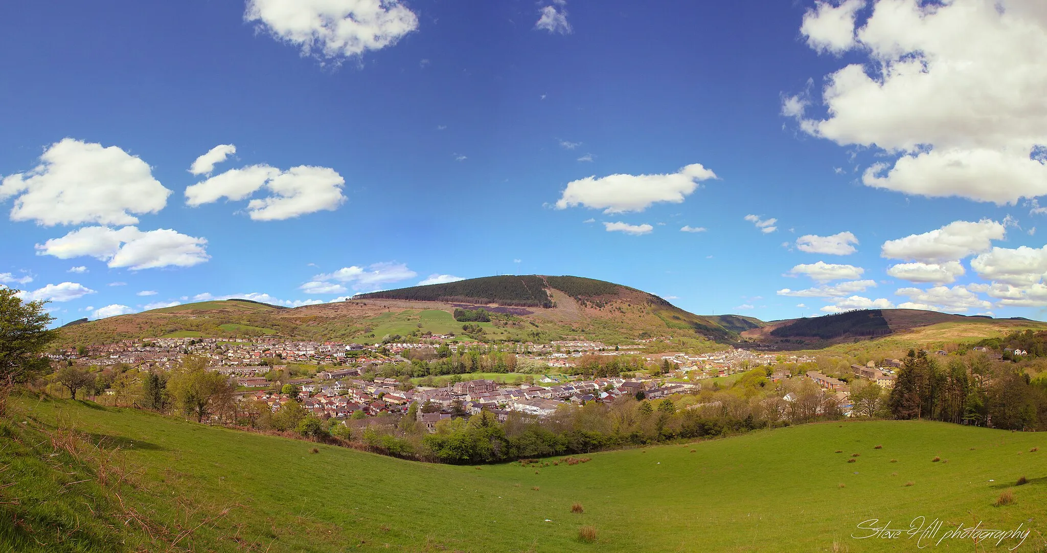
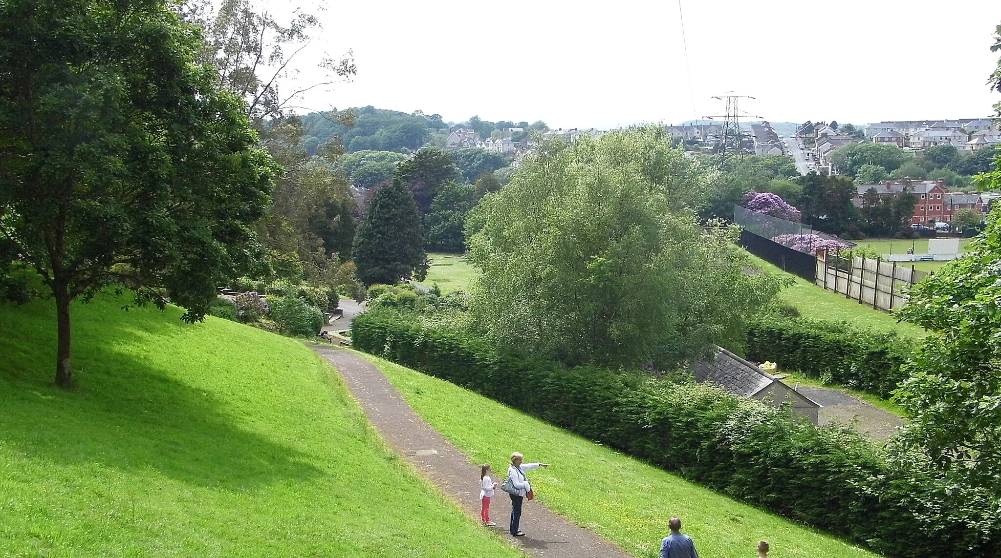
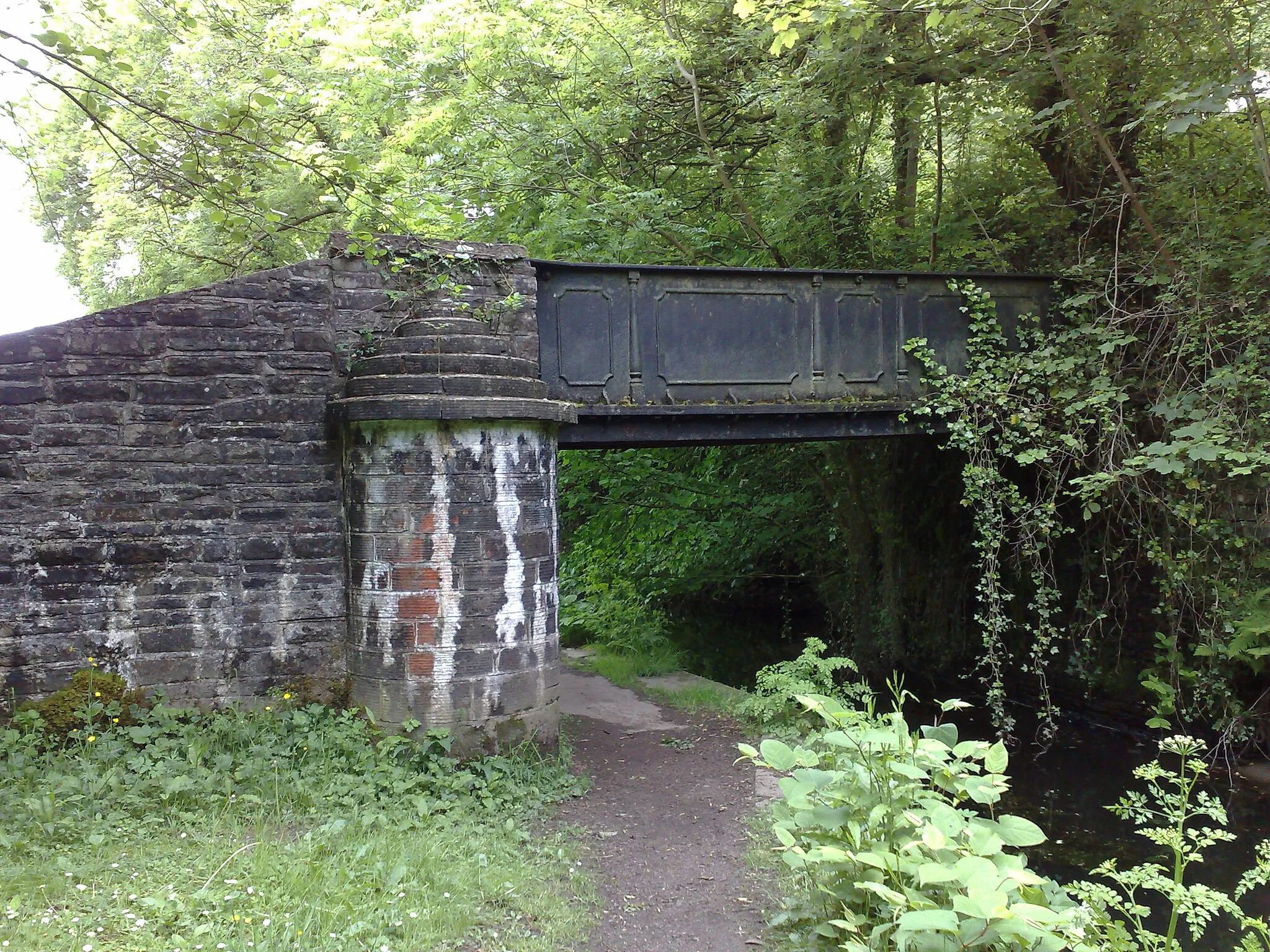
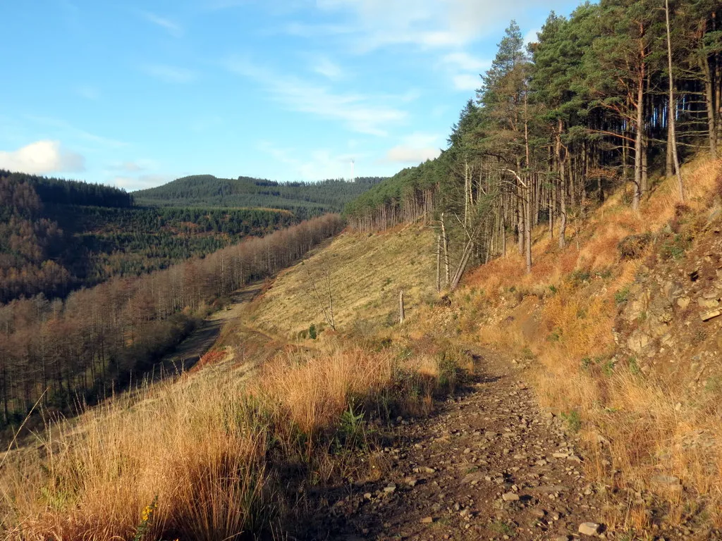
Cwmafan is a locality in West Wales and The Valleys, United Kingdom. From a cyclist's perspective, Cwmafan offers beautiful scenery and relatively quiet roads, making it suitable for both road and gravel cycling. The area is known for its rolling hills and picturesque countryside. nearby well-known climbs include the Bwlch mountain pass and the Rhigos mountain road.
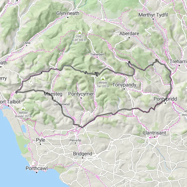
Cwmafan to Margam Loop
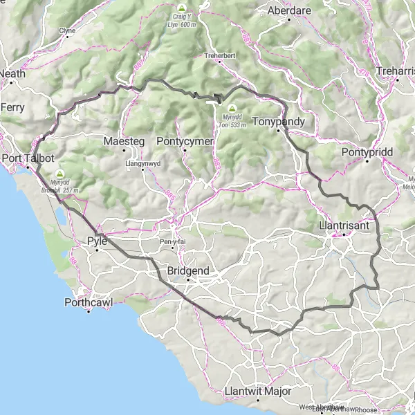
A scenic loop with a challenging ascent
This distinctive cycling route takes you from Cwmafan to Margam, showcasing the beauty of West Wales and The Valleys. With a total distance of 99 kilometers and an ascent of 1262 meters, this road route is suitable for well-trained amateurs. The highlight of the route is Moel Y Fen, located only 2 kilometers into the ride. As you navigate through Abergwynfi, Mynydd Dinas, Trebanog, Tredodridge, Llanblethian, Ewenny, and Margam, you'll experience a mix of rolling hills and breathtaking landscapes marked by historic sites and scenic villages. Overall, this route offers a great combination of challenges and rewards.
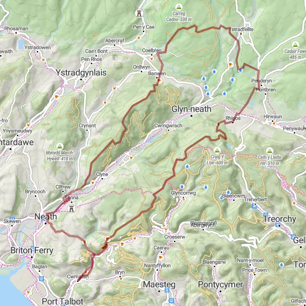
Gravel Adventure Through Valleys
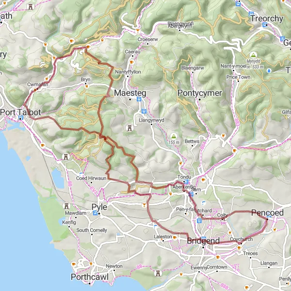
Explore the stunning valleys of West Wales on this gravel adventure
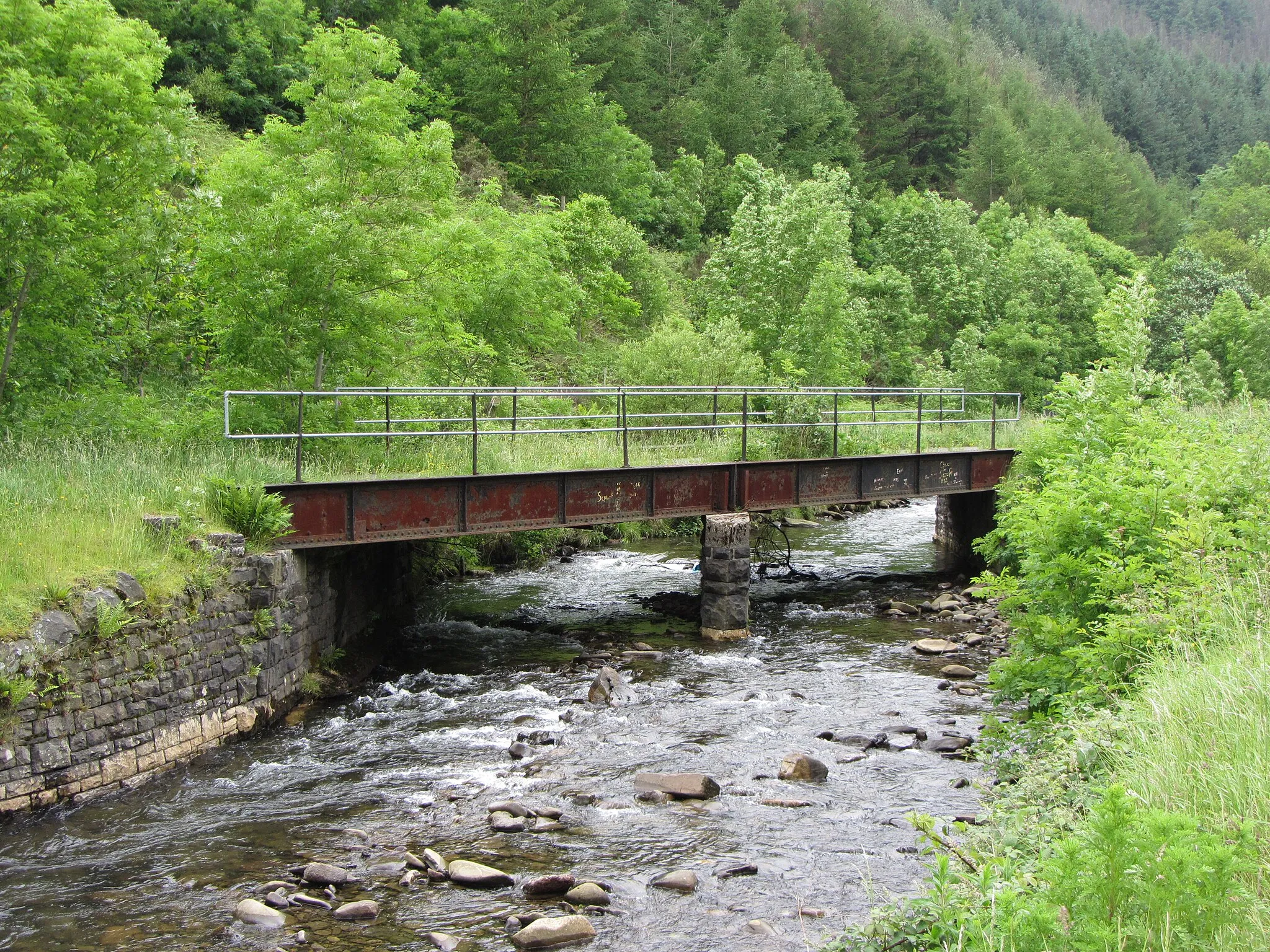
This gravel route takes you through the scenic valleys of West Wales, offering beautiful landscapes and challenging terrains. With a total ascent of 1153 meters and covering a distance of 69 kilometers, this route is suitable for well-trained amateurs. The overall difficulty level is 3, combining moderate climbs and undulating roads. The epicness of this route is rated at 3, as it offers breathtaking views but falls short of legendary status.
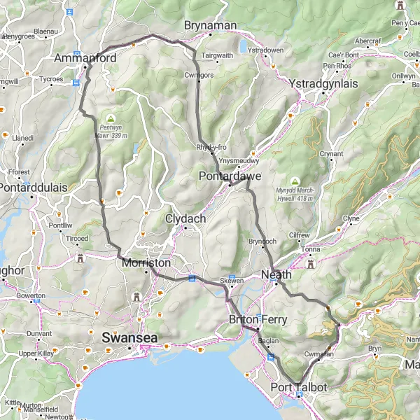
An epic journey to the summit of Moel Troed-Y-Rhiw
Embark on an epic 91-kilometer road cycling route from Cwmafan to Moel Troed-Y-Rhiw. With a challenging ascent of 1787 meters, this route is best suited for experienced riders seeking a thrill. The standout highlight of the journey is Moel Y Fen, located just 2 kilometers from the start. As you pedal through Abergwynfi, Ferndale, Carn y Pigwn, The Gap, Pontypridd, Blackmill, Llangynwyd, and finally arriving at Moel Troed-Y-Rhiw, you'll be rewarded with breathtaking panoramic views of the surrounding valleys and countryside. This route offers a mix of steep climbs, winding descents, and stunning scenery, making it an incredible adventure.
Cwmafan and Back
A breathtaking route through Cwmafan and surrounding areas.
This route takes you through some picturesque valleys and introduces you to the stunning landscapes of West Wales. With a mix of challenging climbs and rewarding descents, it offers a great workout for experienced cyclists. The highlights include Cwmavon, a charming village with beautiful countryside views, Warren Hill, a steep ascent that tests your endurance, and Mynydd Pen-Rhys, a scenic hilltop with panoramic vistas. Overall, this route is a perfect blend of natural beauty and athletic challenge.
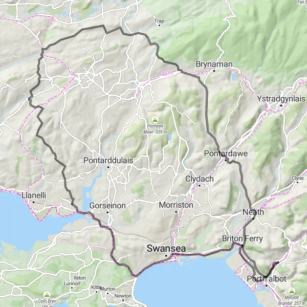
Embark on a classic road cycling journey through the stunning landscapes of West Wales
Covering a distance of 113 kilometers with a total ascent of 1241 meters, this road route takes you through the breathtaking landscapes of West Wales. Suitable for experienced cyclists, the overall difficulty level is 4, with challenging climbs and varying terrains. The epicness of this route is rated at 3, offering awe-inspiring views but not reaching legendary status.
Embark on a gravel journey through the picturesque valleys of West Wales
This gravel route takes you on a 47-kilometer adventure through the enchanting valleys of West Wales. With 543 meters of total ascent, this route is suitable for moderately trained amateurs. The overall difficulty level is 2, with gentle climbs and rolling hills. The epicness of this route is rated at 2, promising scenic beauty without reaching legendary status.
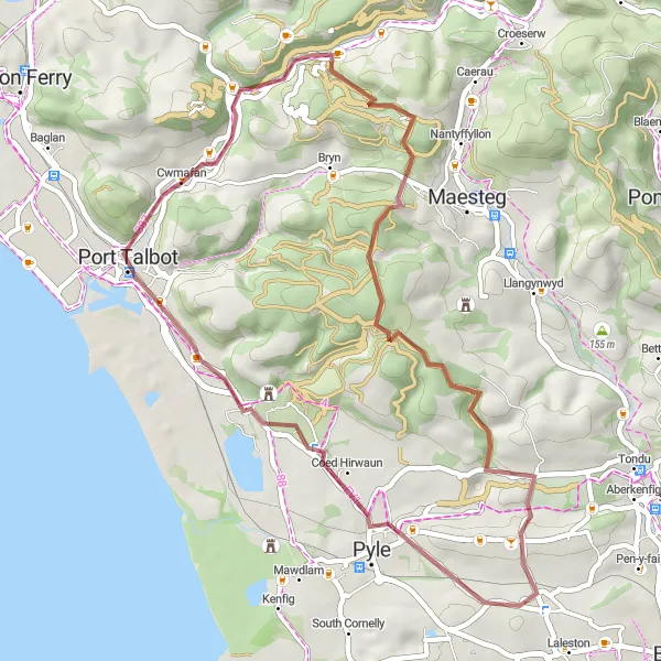
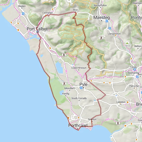
A scenic gravel loop with historical landmarks
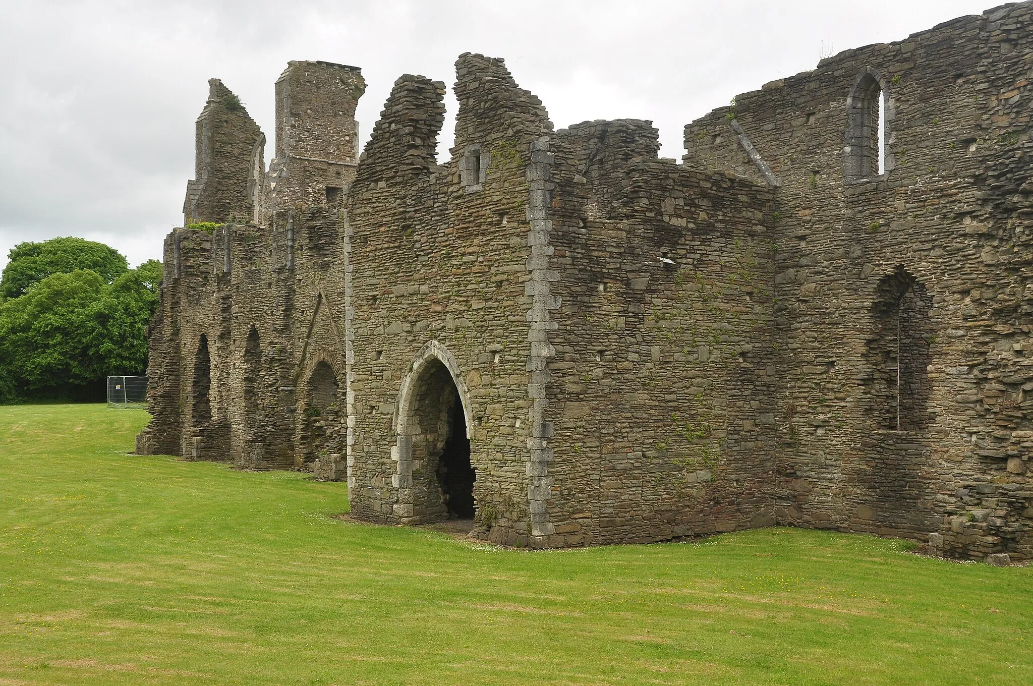
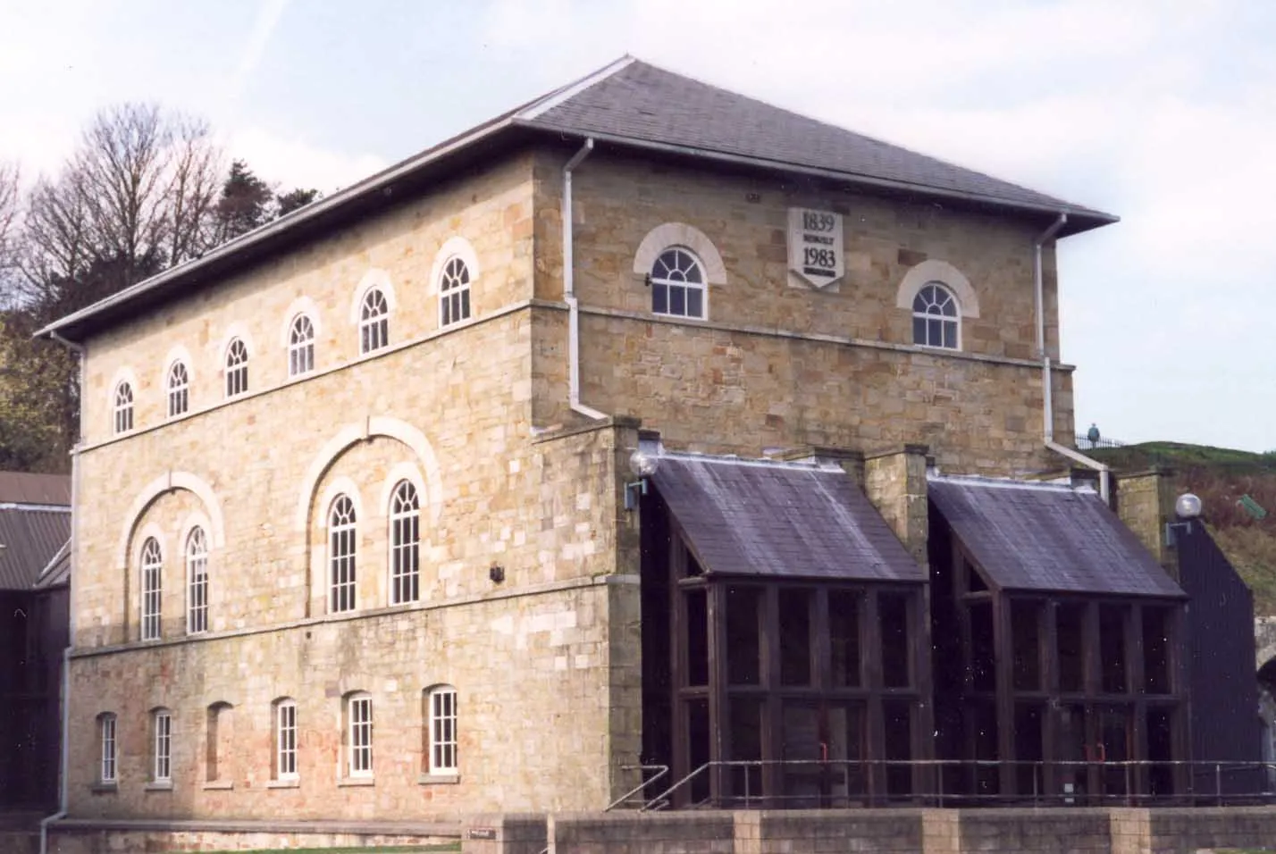
Embark on a 44-kilometer gravel loop from Cwmafan to Port Talbot. With a total ascent of 694 meters, this route is suitable for cyclists seeking a moderate off-road adventure. The highlights of the route include Pont-rhyd-y-fen, Pen Disgwylfa, Ffordd y Gyfraith, and Port Talbot. As you navigate through these points of interest, you'll enjoy a mix of picturesque landscapes, historical landmarks, and a touch of industrial heritage. This gravel loop offers a balance of challenges and opportunities to appreciate the natural beauty and history of the region.
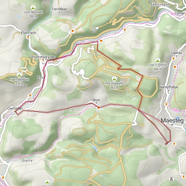
Embark on a short but rewarding gravel adventure near Cwmafan
This 22-kilometer gravel route offers a short yet rewarding cycling experience near Cwmafan. With a total ascent of 466 meters, this route is suitable for beginners or those seeking a quick ride. The overall difficulty level is 2, with gentle climbs and flat sections. The epicness of this route is rated at 2, showcasing the beauty of the surrounding areas without providing any major challenges or legendary climbs.
A thrilling gravel ride with breathtaking views
Experience the thrill of gravel cycling on this 80-kilometer route from Cwmafan to Mynydd Pen-Rhys. With a challenging ascent of 1641 meters, this route is suited for cyclists who enjoy off-road adventures. The highlight of the route is Moel Y Fen, located just 2 kilometers into the ride. As you ride through Aberdulais, Hir Fynydd, Penderyn, Moel Penderyn, Mynydd Pen-y-cae, and Mynydd Pen-Rhys, you'll be treated to stunning views of the valleys, rugged terrain, and charming villages. The combination of challenging climbs and breathtaking scenery makes this gravel ride an unforgettable experience.
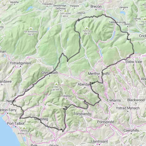
Embark on the ultimate road cycling adventure through the diverse landscapes of Wales
Covering a distance of 174 kilometers with a total ascent of 3091 meters, this road route is a challenging yet rewarding adventure through the beautiful landscapes of Wales. Suitable for experienced cyclists, the overall difficulty level is 5, with demanding climbs and varied terrains. The epicness of this route is rated at 5, as it includes legendary climbs and famous cycling spots, enticing cyclists with breathtaking views and a true test of endurance.
Cycling routes nearby:
Nearby regions: