Cwmafan to Port Talbot Gravel Loop
A gravel cycling route starting from Cwmafan
A scenic gravel loop with historical landmarks
Map
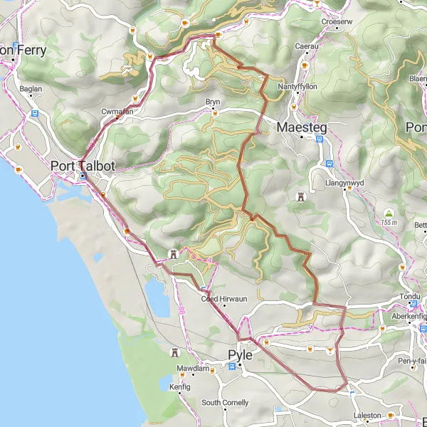
Embark on a 44-kilometer gravel loop from Cwmafan to Port Talbot. With a total ascent of 694 meters, this route is suitable for cyclists seeking a moderate off-road adventure. The highlights of the route include Pont-rhyd-y-fen, Pen Disgwylfa, Ffordd y Gyfraith, and Port Talbot. As you navigate through these points of interest, you'll enjoy a mix of picturesque landscapes, historical landmarks, and a touch of industrial heritage. This gravel loop offers a balance of challenges and opportunities to appreciate the natural beauty and history of the region.
gravel
44 km
694 m
Tough
Route profile
Highlights on the route
0 km
0 km
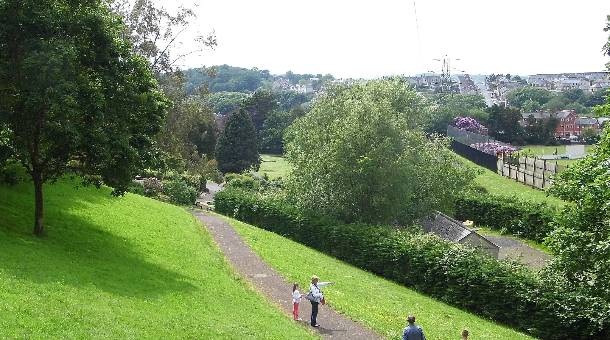
Start: Cwmafan Village centerCwmafan: Serene cycling through the rolling hills of Wales.
Cwmafan is a locality in West Wales and The Valleys, United Kingdom. From a cyclist's perspective, Cwmafan offers beautiful scenery and relatively quiet roads, making it suitable for both road and gravel cycling. The area is known for its rolling hills and picturesque countryside. nearby well-known climbs include the Bwlch mountain pass and the Rhigos mountain road.3 km
3 km
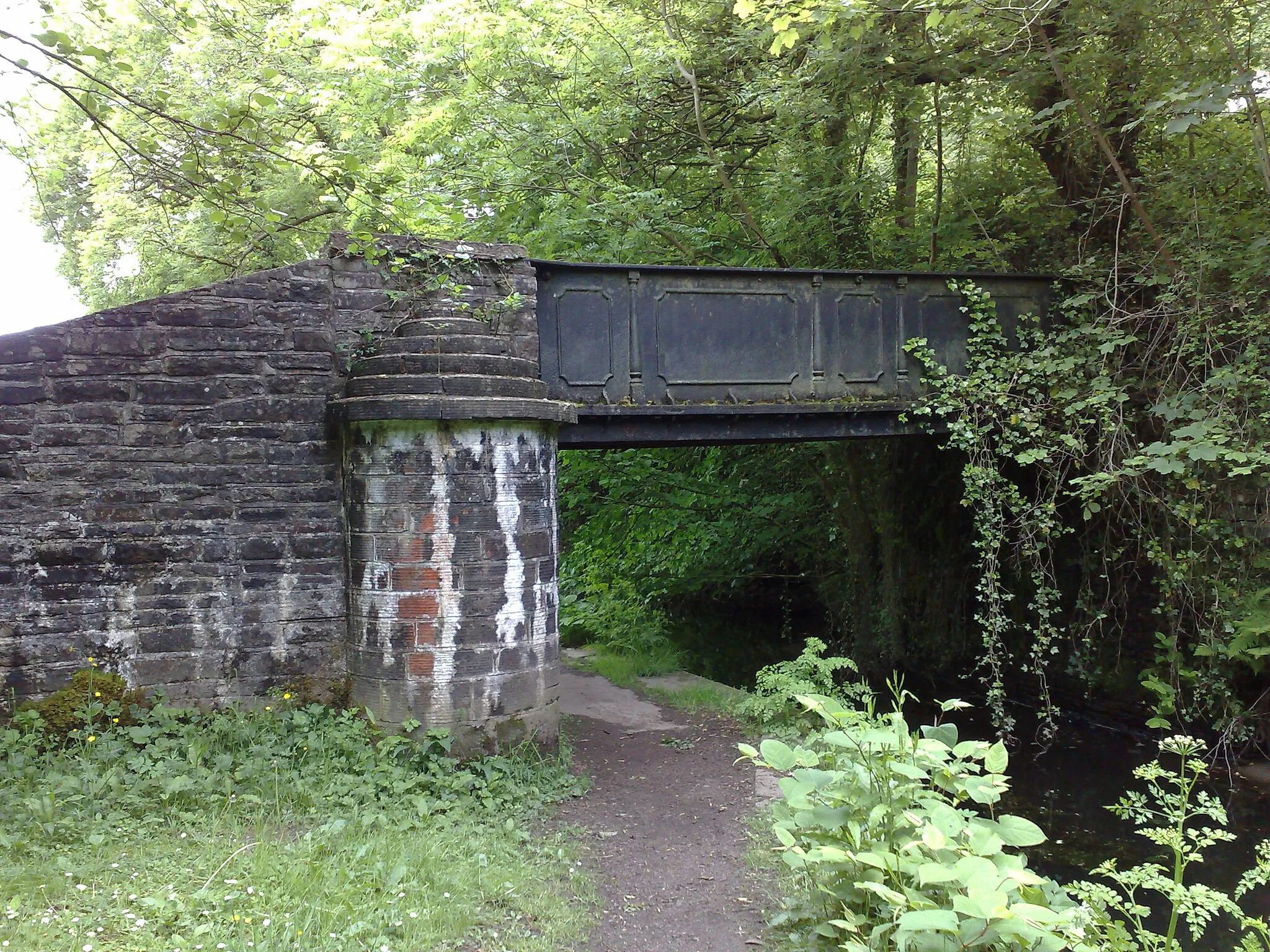
Pont-rhyd-y-fenVillagePont-rhyd-y-fen offers a peaceful riverside setting, allowing cyclists to enjoy the tranquility of the water flowing beneath their wheels.
8 km
8 km
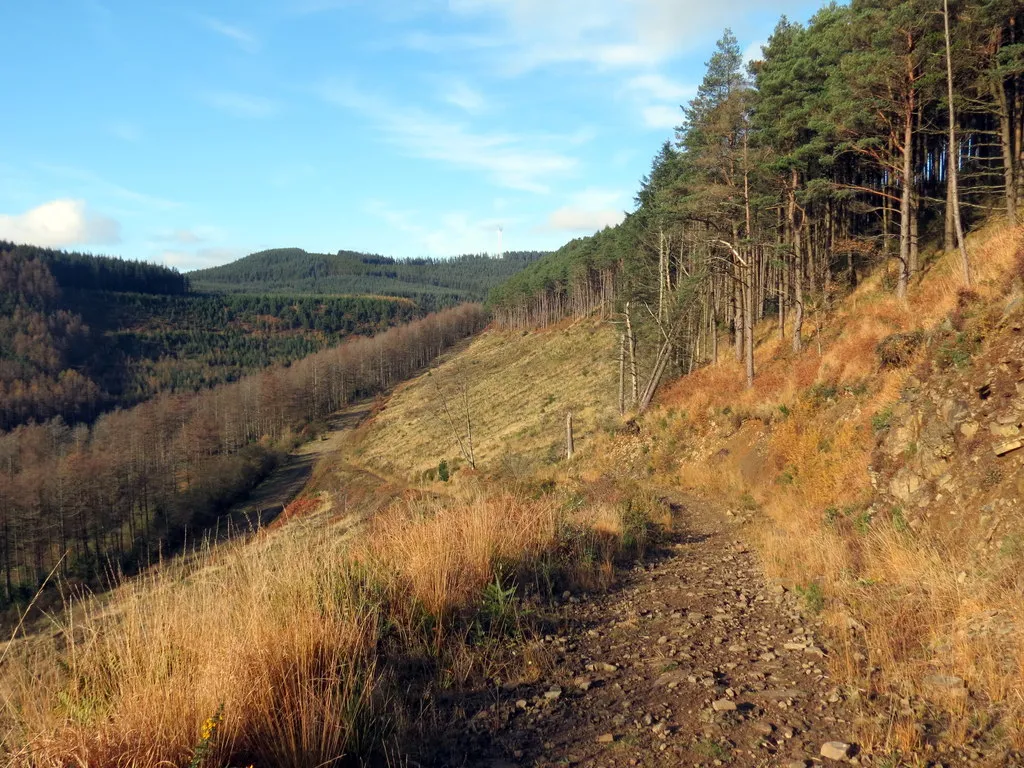
Pen Disgwylfa363 mPeakPen Disgwylfa is a remote location characterized by rolling hills and winding roads, creating a sense of adventure for gravel riders.
23 km
23 km
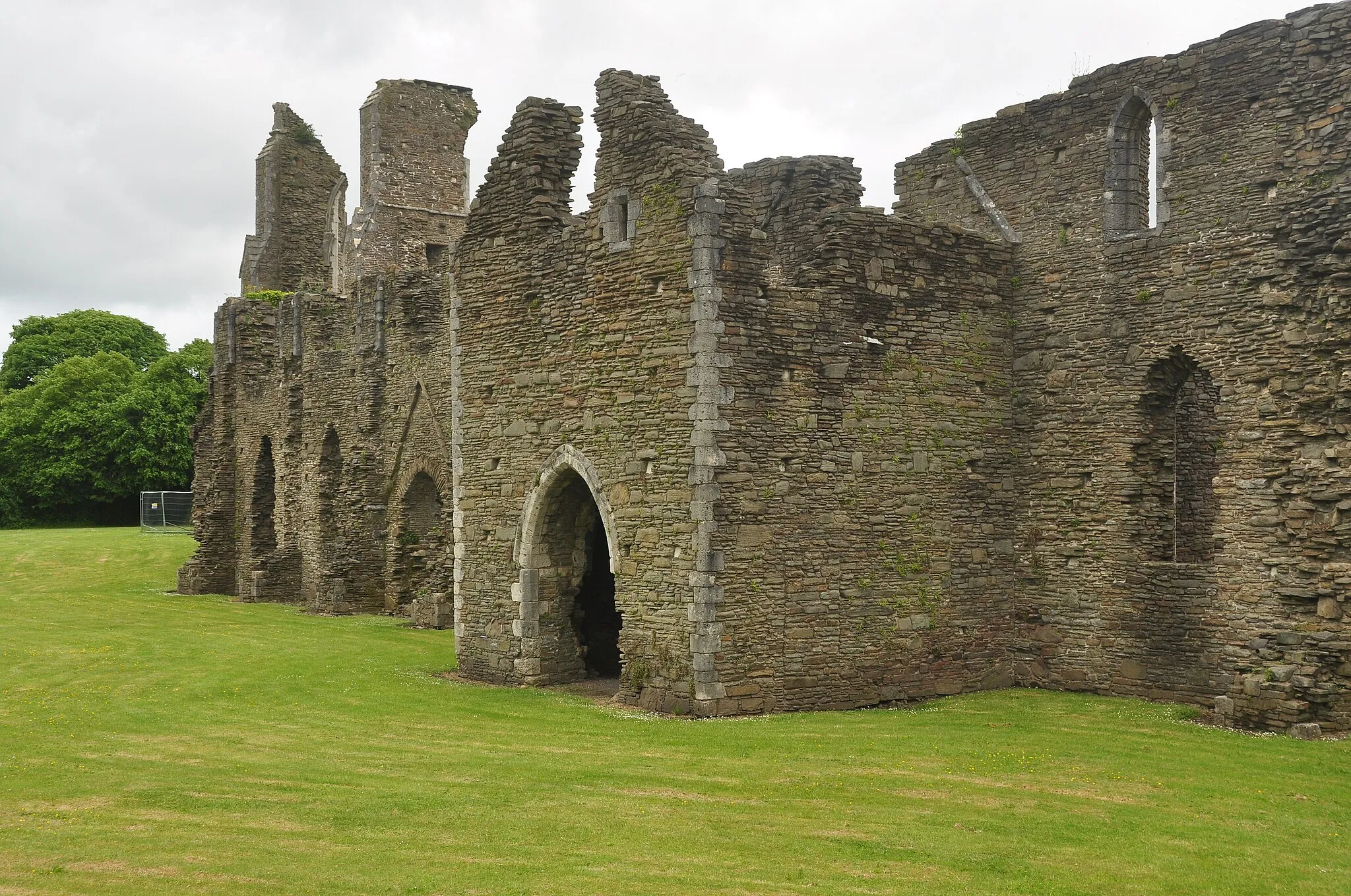
Ffordd y GyfraithHamletFfordd y Gyfraith is an important historical site, representing the junction of drover roads historically used to move livestock between valleys.
42 km
42 km
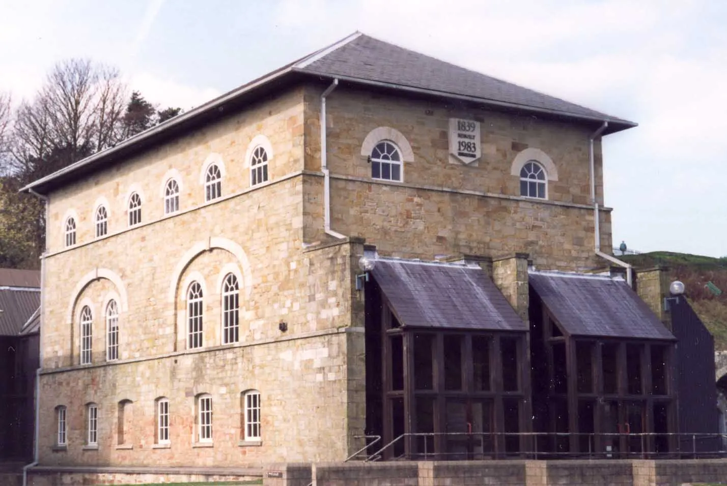
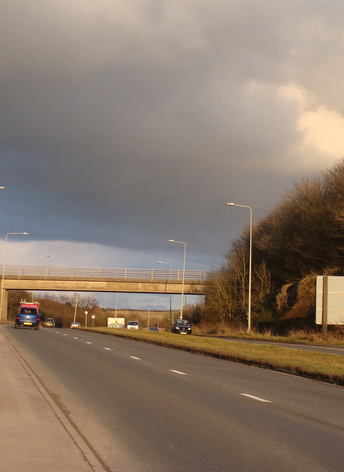
Port TalbotTownPort Talbot town boasts an industrial heritage reflected in its architecture, while its waterfront promenade offers scenic views of the coastline.
44 km
44 km
Finish: Cwmafan Village centerCwmafan: Serene cycling through the rolling hills of Wales.
Cycling routes from Cwmafan:
Exploring the Valleys: Gravel Edition Cwmafan to Port Talbot Gravel Loop Short and Sweet Gravel Ride Cwmafan and Back Cwmafan to Mynydd Pen-Rhys Gravel Ride Gravel Adventure Through Valleys Cwmafan to Margam Loop Classic Road Journey Through Wales Ultimate Road Cycling Adventure in Wales Cwmafan to Moel Troedyrhiw Route
Cycling routes nearby: