Skipton and Threshfield Adventure
A road cycling route starting from Addingham
Experience a thrilling 50-kilometer ride from Skipton to Threshfield.
Map
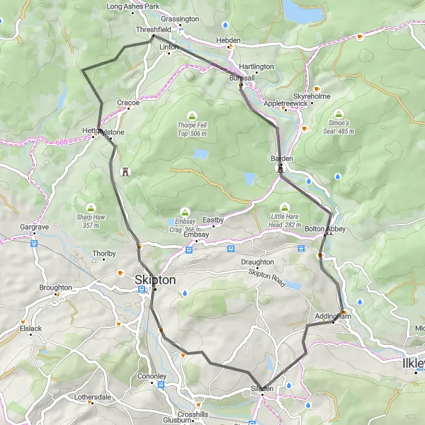
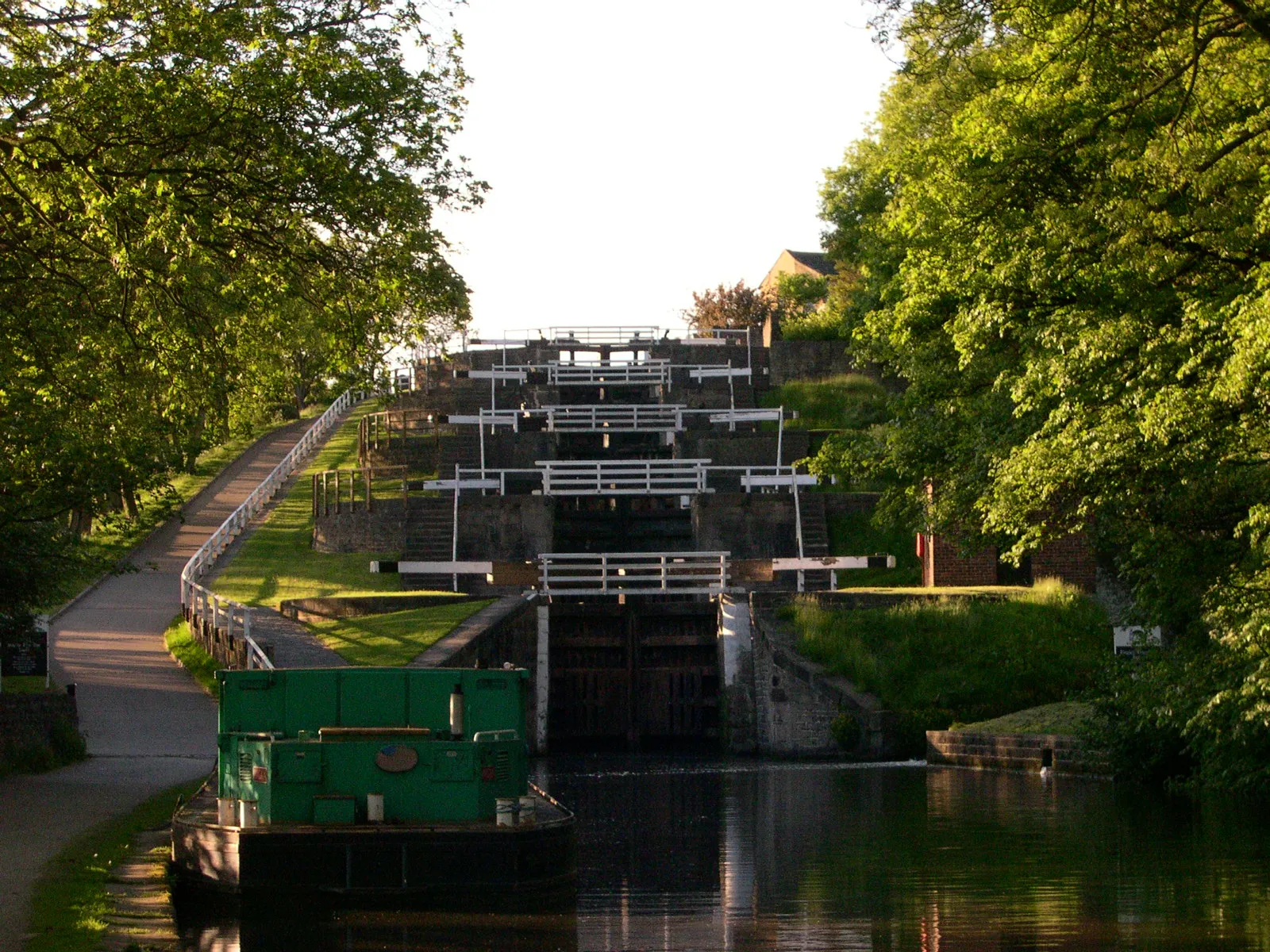
Embark on an exciting 50-kilometer road cycling adventure from the market town of Skipton to the picturesque village of Threshfield. With an ascent of 879 meters, this route offers a moderate challenge for well-trained amateur cyclists. Highlights along the way include the historic town of Skipton, the charming village of Threshfield, and the breathtaking Threshfield Moor. The highlight of this route is the scenic climb up Crier Hill, offering panoramic views of the stunning Yorkshire Dales. Whether you're a local cyclist or visiting the area, this ride promises to be a memorable journey through the scenic beauty of West Yorkshire.
road
50 km
879 m
Tough
Route profile
Highlights on the route
0 km
0 km
Start: Addingham Village centerAddingham: Picturesque countryside with nearby Ilkley Moor and Yorkshire Dales.
Addingham is a locality located in the West Yorkshire region of the United Kingdom. For road and gravel cyclists, Addingham offers enjoyable cycling routes through picturesque landscapes. The locality is surrounded by stunning countryside, including nearby Ilkley Moor, which provides challenging off-road cycling experiences. Additionally, Addingham is situated close to the Yorkshire Dales National Park, offering countless opportunities for adventurous cyclists. With its tranquil countryside and proximity to natural attractions, Addingham is an excellent destination for cycling enthusiasts.3 km
3 km
Brown Bank259 mPeakBrown Bank: Begin your ride with a challenging climb up Brown Bank, offering stunning views of the surrounding countryside from its summit.
14 km
14 km
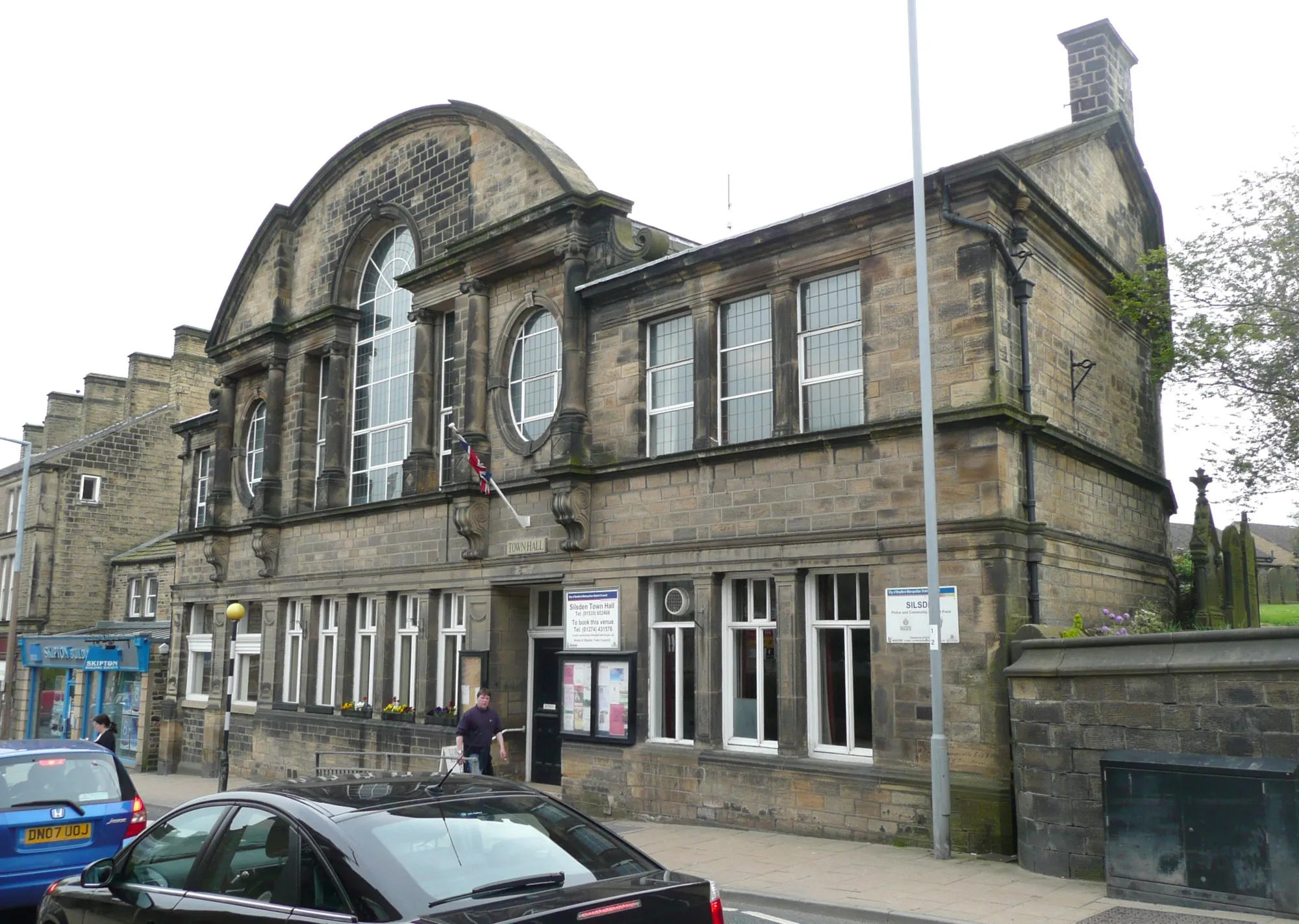
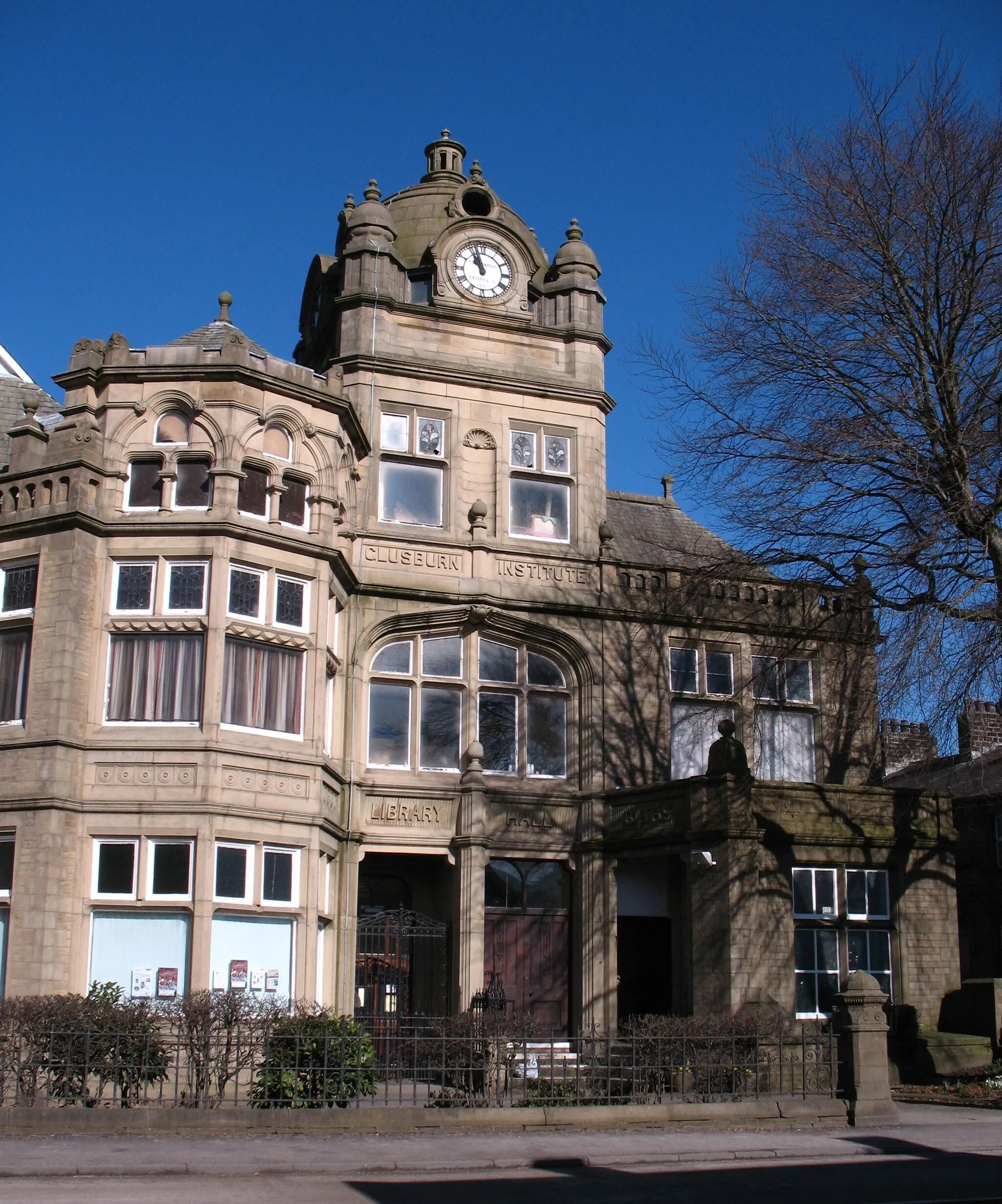
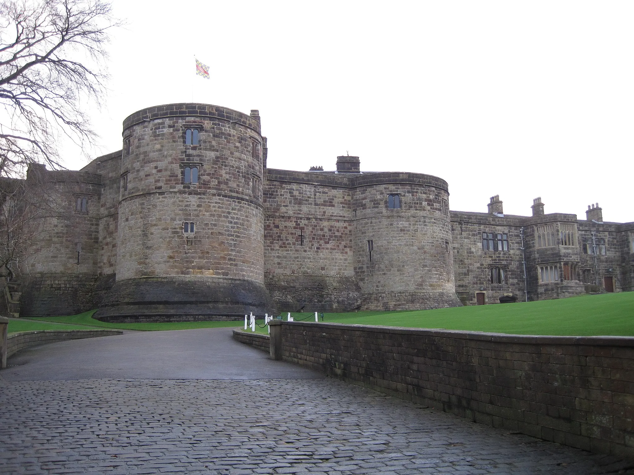
SkiptonTownSkipton: Start your journey in the vibrant market town of Skipton, known as the 'Gateway to the Dales' with its medieval castle and bustling high street.
30 km
30 km
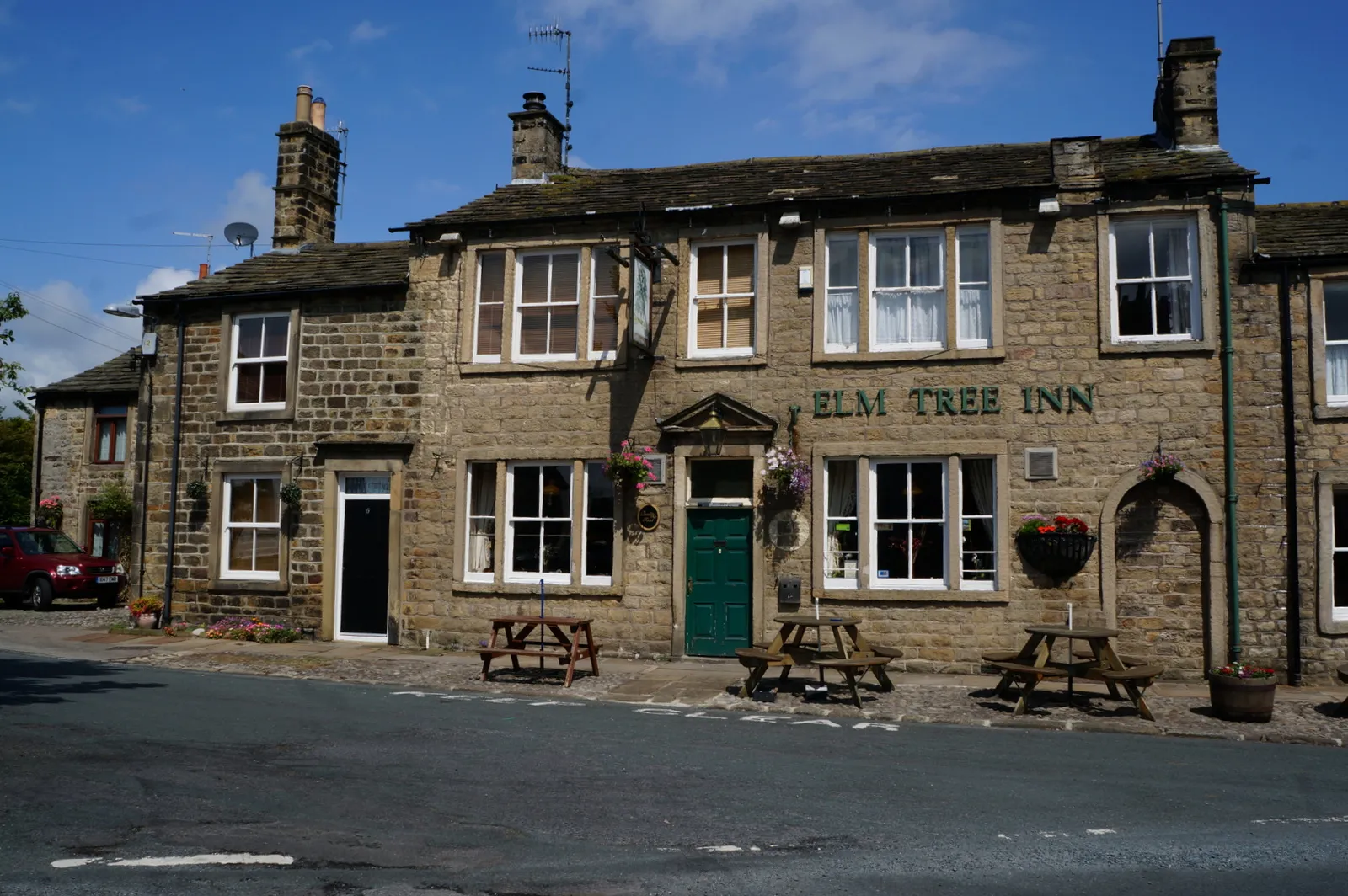
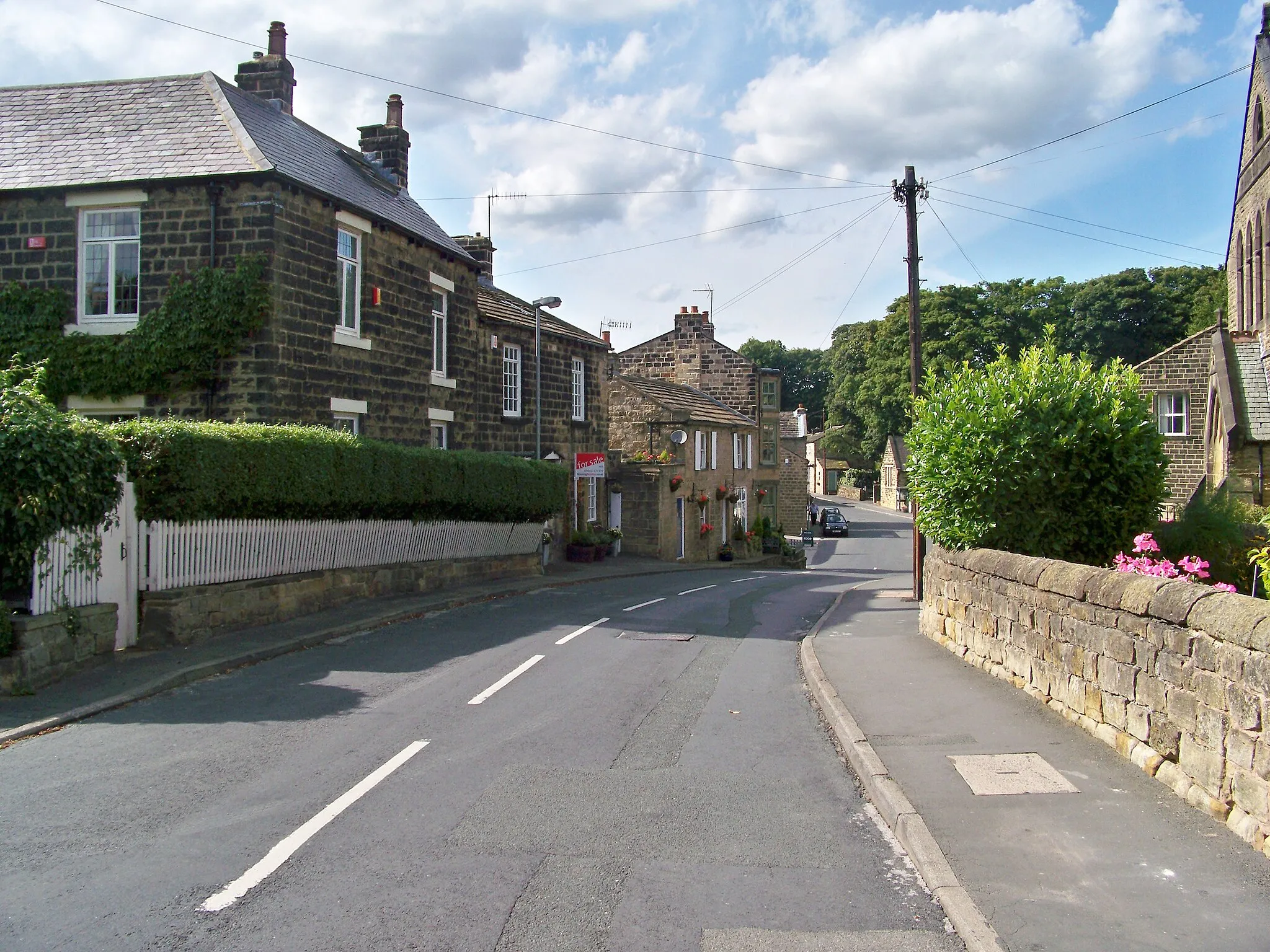
ThreshfieldVillageThreshfield: Explore the charming village of Threshfield, located at the heart of the Yorkshire Dales National Park and surrounded by stunning natural landscapes.
32 km
32 km
Stickhaw Hill182 mPeakStickhaw Hill: Challenge yourself with the ascent of Stickhaw Hill, a rewarding climb that offers panoramic views of the surrounding countryside.
47 km
47 km
Crier Hill159 mPeakCrier Hill: Conquer the challenging climb of Crier Hill and be rewarded with breathtaking views of the scenic Yorkshire Dales landscape.
50 km
50 km
AddinghamVillageAddingham: Finish your ride with a visit to the picturesque village of Addingham, known for its quaint cottages and close proximity to the stunning Yorkshire Dales National Park.
50 km
50 km
Finish: Addingham Village centerAddingham: Picturesque countryside with nearby Ilkley Moor and Yorkshire Dales.
Cycling routes nearby: