The Strines
A gravel cycling route starting from Holmfirth
Ride through the picturesque countryside and discover charming villages
Map
Embark on this challenging gravel route that takes you through the scenic landscapes surrounding Holmfirth. With a total ascent of 2283m over a distance of 110km, The Strines route will put your skills and endurance to the test. Be prepared to tackle challenging hills, including the legendary Mount Famine, and take in the stunning views from the top. Highlights along the route include Crook Hill, Ashopton, and Great Hucklow. Score them accordingly based on their attractiveness and uniqueness.
gravel
110 km
2283 m
Tough
Route profile
Highlights on the route
0 km
0 km
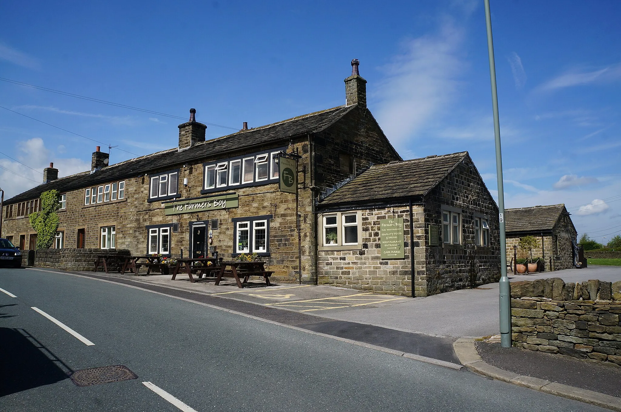
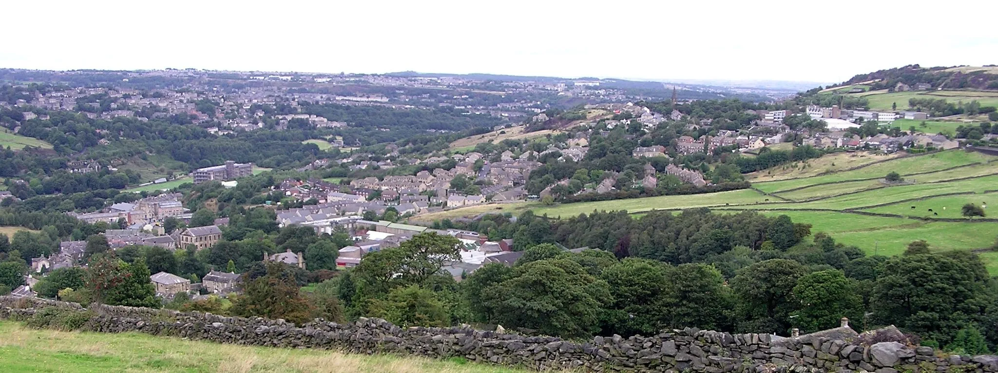
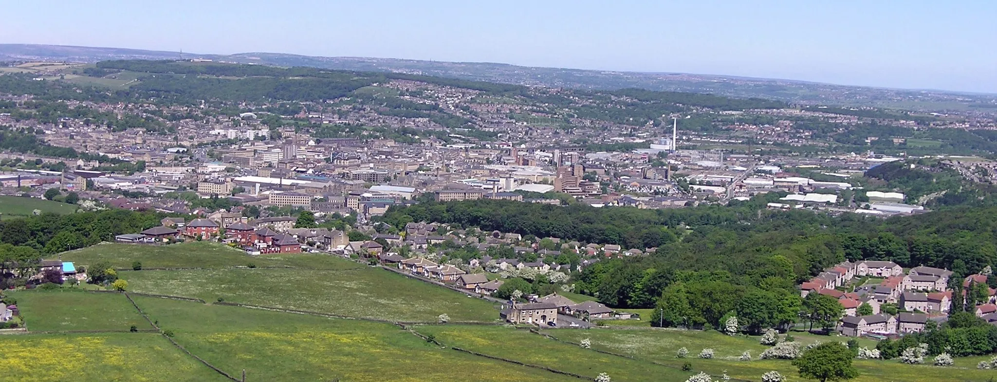
Start: Holmfirth City centerHolmfirth: Discover cycling paradise in scenic Holmfirth
Located in West Yorkshire, Holmfirth offers a fantastic cycling experience for both road and gravel cyclists. Nestled within the stunning Yorkshire Dales, cyclists can enjoy picturesque rides along quiet country lanes with breathtaking views. Holmfirth itself is a quaint village with charming shops, cafes, and traditional stone cottages. For cycling enthusiasts seeking a challenge, the infamous Holme Moss climb is just a stone's throw away.0 km
0 km
HolmfirthTownStop by Holmfirth, the starting point of the route, known for its vibrant art scene and breathtaking views of the Peak District.
29 km
29 km
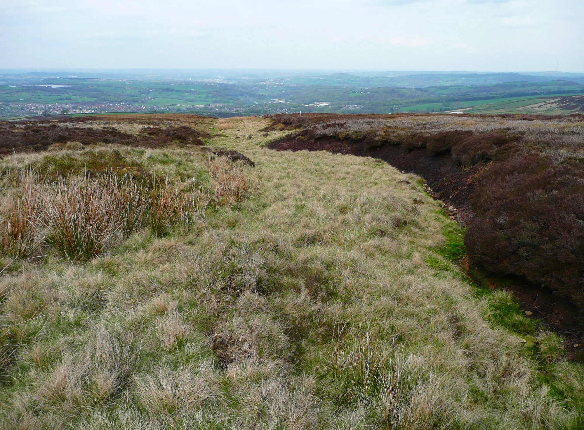
Crook Hill382 mPeakLocated at a distance of 29km from the starting point, Crook Hill offers panoramic vistas of the surrounding moorland and reservoirs.
31 km
31 km
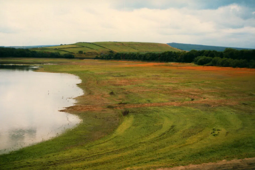
AshoptonHamletAshopton is worth a stop 31km into the route. Admire the stunning Ladybower Reservoir and the iconic Derwent Dam.
44 km
44 km
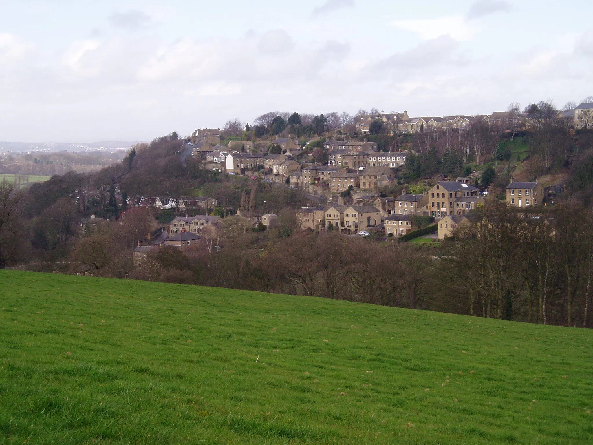
Great HucklowVillageAs you reach Great Hucklow at the 44km mark, take a moment to enjoy the picturesque village famous for its limestone houses.
54 km
54 km
Calton Hill400 mPeakCalton Hill, located 54km into the route, offers spectacular vistas of the Hope Valley and the surrounding peaks.
73 km
73 km
Mount Famine473 mPeakMount Famine, known for its challenging climb, rewards you with breathtaking views of Kinder Scout and the Snake Pass.
77 km
77 km
HayfieldVillageAt 77km, Hayfield marks a scenic spot where you can rest and admire the picturesque reservoirs and moorland.
86 km
86 km
GlossopTownGlossop, located at the 86km mark, is a charming town known for its Victorian architecture and proximity to the Dark Peak area.
100 km
100 km
Britland Edge Hill523 mPeakLocated at the 100km mark, Britland Edge Hill offers pleasant views of the countryside, but doesn't stand out to the same extent as other highlights along this route.
108 km
108 km
HolmbridgeVillageAs you approach the endpoint, Holmbridge greets you with its picturesque surroundings, including the River Holme and the famous Holme Moss.
110 km
110 km
Finish: Holmfirth City centerHolmfirth: Discover cycling paradise in scenic Holmfirth
Cycling routes from Holmfirth:
Saddleworth Loop South Yorkshire Pennines The Honley Hills Road Tour The Gravel Escape: Upperthong to Meltham The Honley Road Ride The Strines The Ultimate Holmfirth Road Challenge The Kirkburton Gravel Adventure Marsden and Beyond Peak District Loop The Gravel Mejo Sensation Scenic Road Delight The Gravel Explorers The Gravel Bliss Discovering West Yorkshire Holmfirth to Denby Dale Loop
Cycling routes nearby: