Peak District Gravel Adventure
A gravel cycling route starting from Linthwaite
Get off the beaten path and explore the rugged beauty of the Peak District
Map
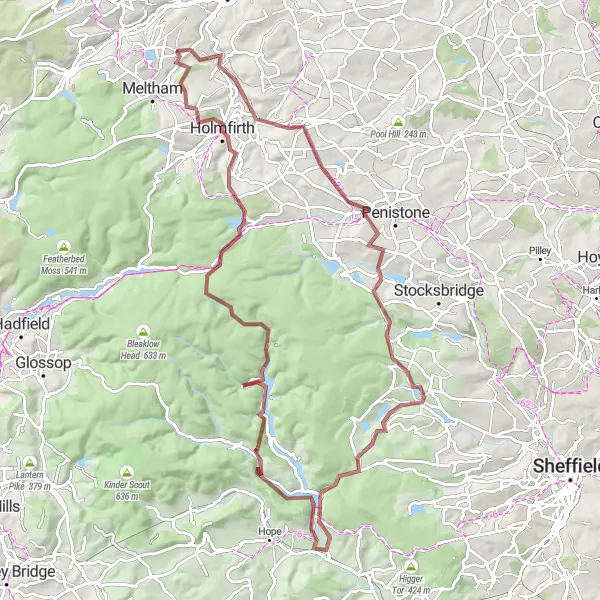
This challenging gravel route takes you through the stunning Peak District, with highlights including the picturesque village of Netherton, the breathtaking views from Royd Moor Viewing Point, and the historic village of Thornhill. Covering a distance of 94 km and featuring 2,036 meters of ascent, this route is suitable for experienced gravel cyclists looking for an epic off-road adventure.
gravel
94 km
2036 m
Tough
Route profile
Highlights on the route
0 km
0 km
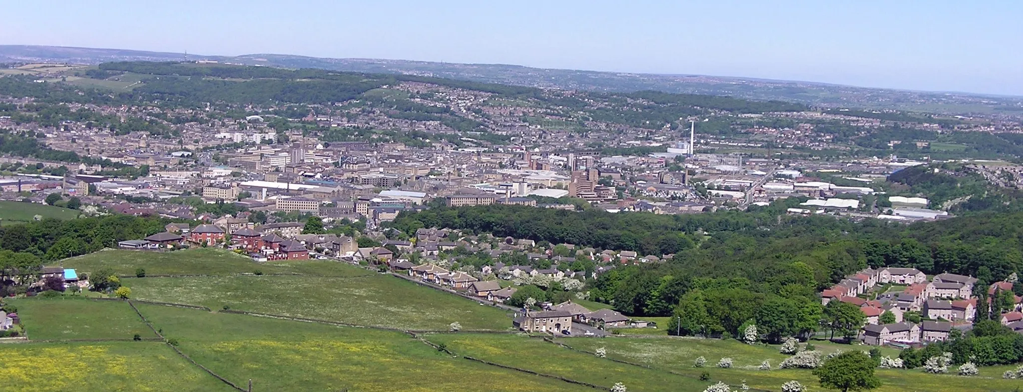
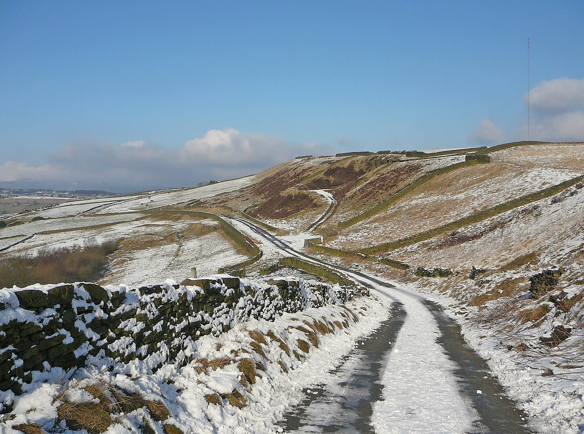
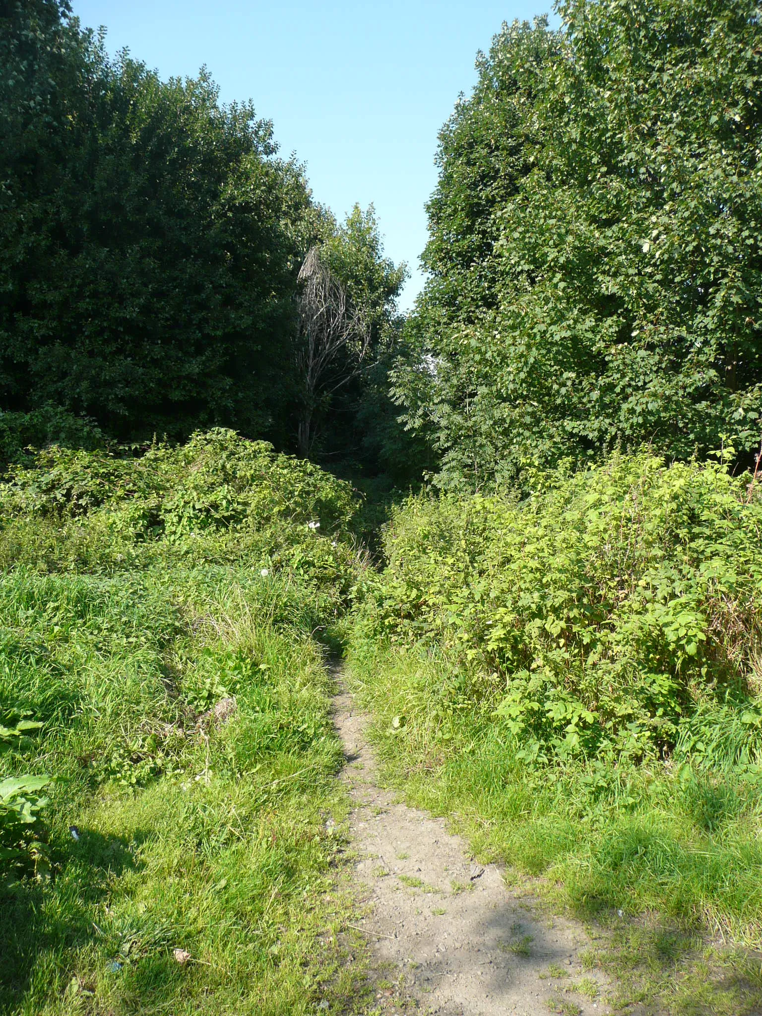
Start: South Crosland Village centerLinthwaite: Discovering the thrill of cycling through Linthwaite's hilly terrain.
Linthwaite, situated in West Yorkshire, United Kingdom, is a cyclist's paradise with its diverse terrain and picturesque landscapes. The area is surrounded by rolling hills, making it perfect for both road and gravel cycling. Road cyclists can enjoy challenging climbs such as Wessenden Head and Bakestonedale Moor, while gravel cyclists can explore the nearby Colne Valley Trail, offering stunning views along the way. Linthwaite also serves as a great base for further exploration of the Pennines and other cycling routes in the region. With its cycling-friendly amenities and beautiful surroundings, Linthwaite is an ideal destination for cyclists of all levels.1 km
1 km
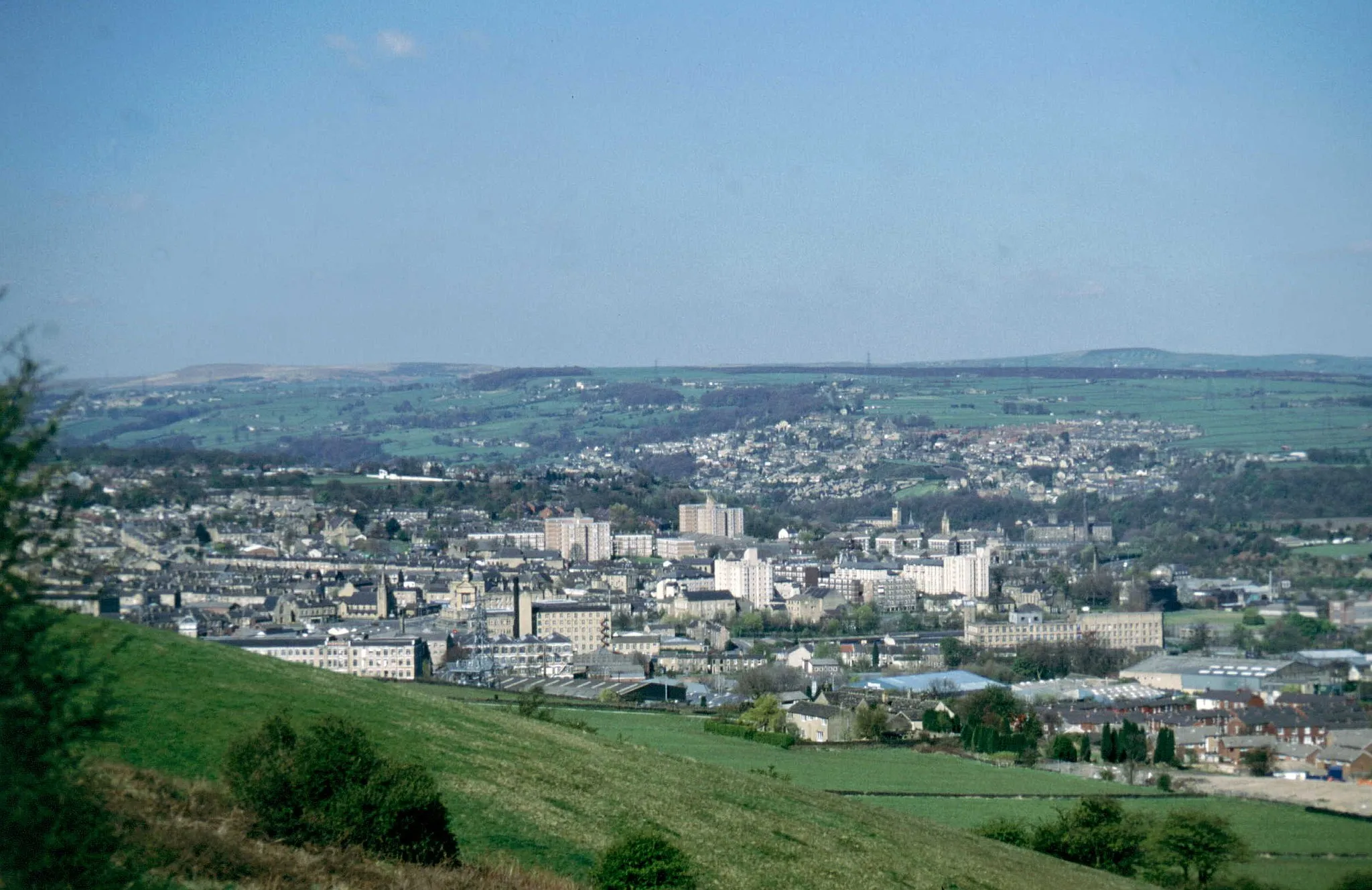
NethertonVillageNetherton is a small village with beautiful countryside views and a strong sense of community.
16 km
16 km
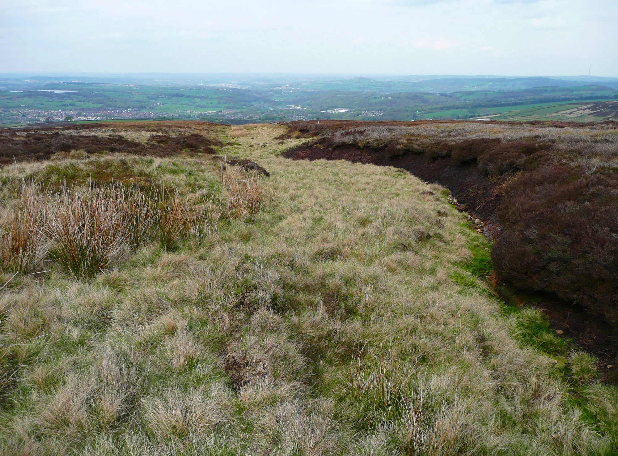
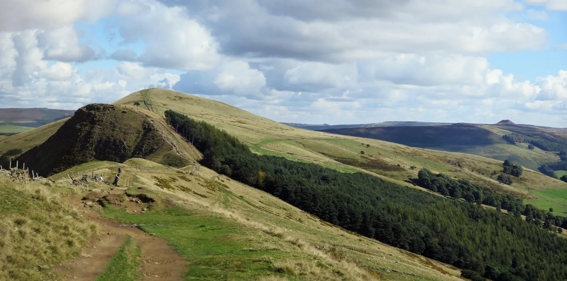
Royd Moor Viewing PointViewpointRoyd Moor Viewing Point offers stunning panoramic views of the surrounding landscape.
33 km
33 km
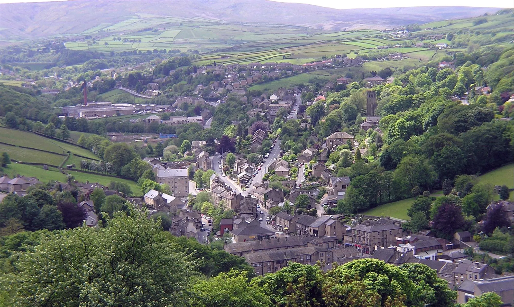
Low BradfieldVillageLow Bradfield is a charming village with traditional stone buildings and a peaceful atmosphere.
48 km
48 km
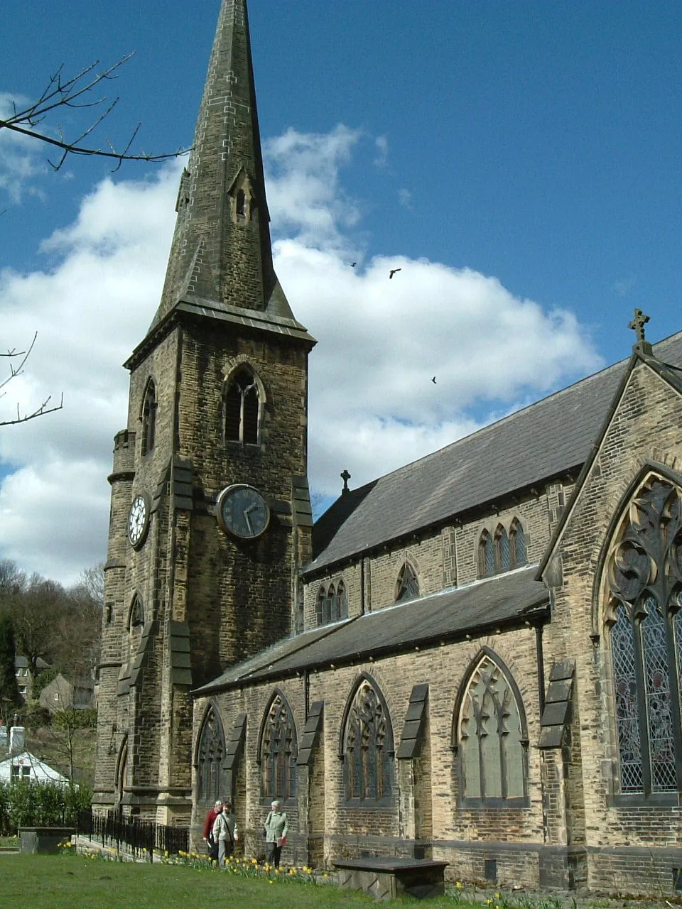
ThornhillVillageThornhill is a historic village with quaint streets and picturesque cottages.
52 km
52 km
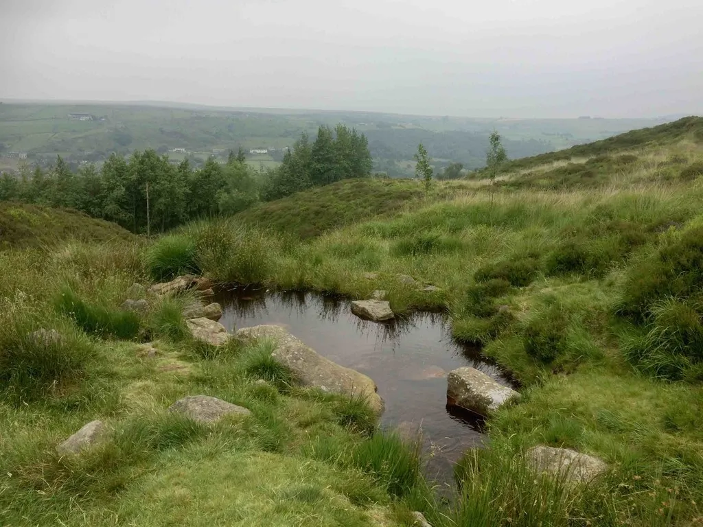
Win Hill464 mPeakWin Hill is a challenging climb that rewards cyclists with breathtaking views over the Hope Valley.
79 km
79 km
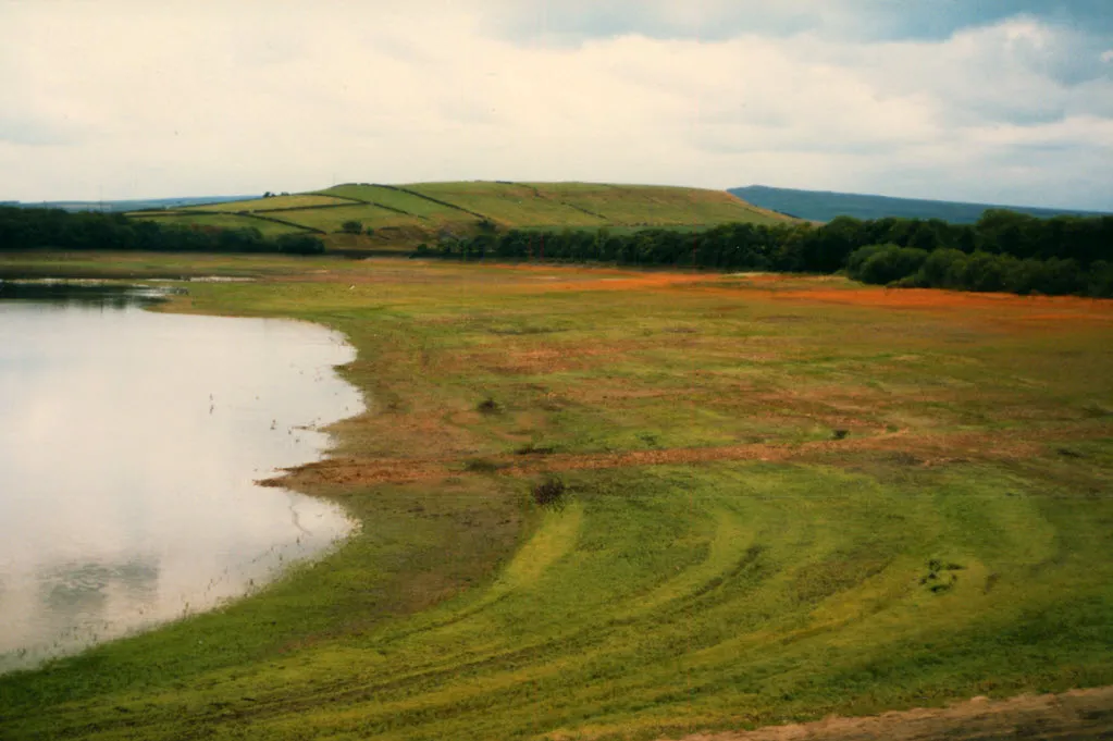
Dunford BridgeHamletDunford Bridge is a historic crossing point with stunning views of nearby reservoirs and moorland.
94 km
94 km
Finish: South Crosland Village centerLinthwaite: Discovering the thrill of cycling through Linthwaite's hilly terrain.
Cycling routes nearby: