Devil's Frying Pan & Holbeck Road Circuit
A road cycling route starting from Menston
Embark on a thrilling road circuit, passing through Devil's Frying Pan and Holbeck.
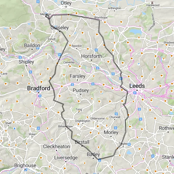
Map
Experience the thrill of this road circuit that takes you through Devil's Frying Pan, known for its unique rock formation resembling a frying pan. With its moderate difficulty level, this route is suitable for well-trained amateur cyclists. With an epicness rating of 3, this route offers challenging stretches combined with breathtaking scenery.
road
60 km
730 m
Tough
Route profile
Highlights on the route
0 km
0 km
Start: Menston Village centerMenston: Peaceful countryside cycling amidst picturesque landscapes.
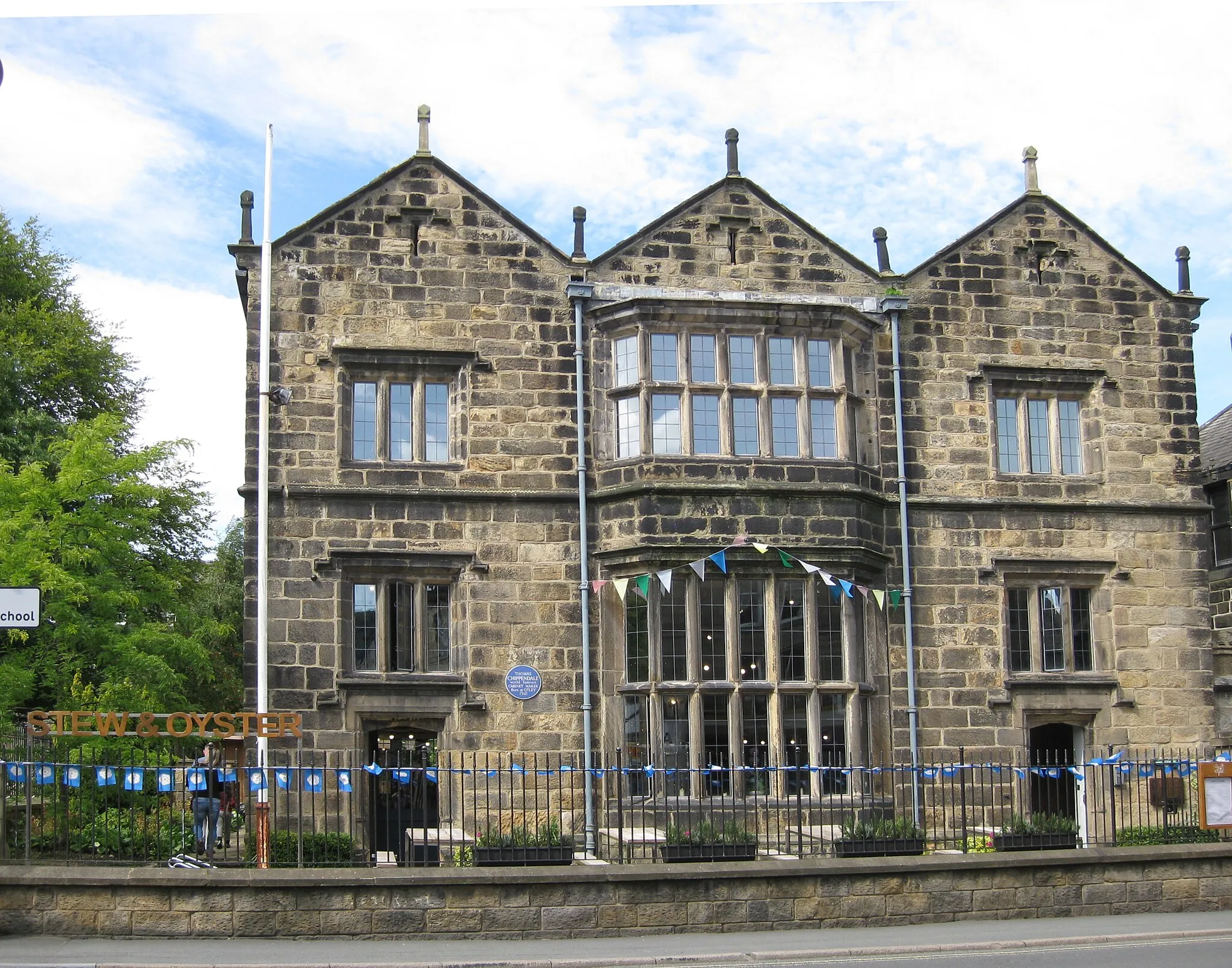
Menston is a locality located in the West Yorkshire region of the United Kingdom. For road and gravel cyclists, Menston offers a range of cycling routes amidst scenic surroundings. The locality is known for its picturesque countryside roads and quiet lanes, providing peaceful and enjoyable rides for cyclists. While there may not be any famous cycling spots or well-known climbs nearby, the peaceful atmosphere and charming landscapes make Menston an appealing destination for cyclists looking to explore rural England.3 km
3 km
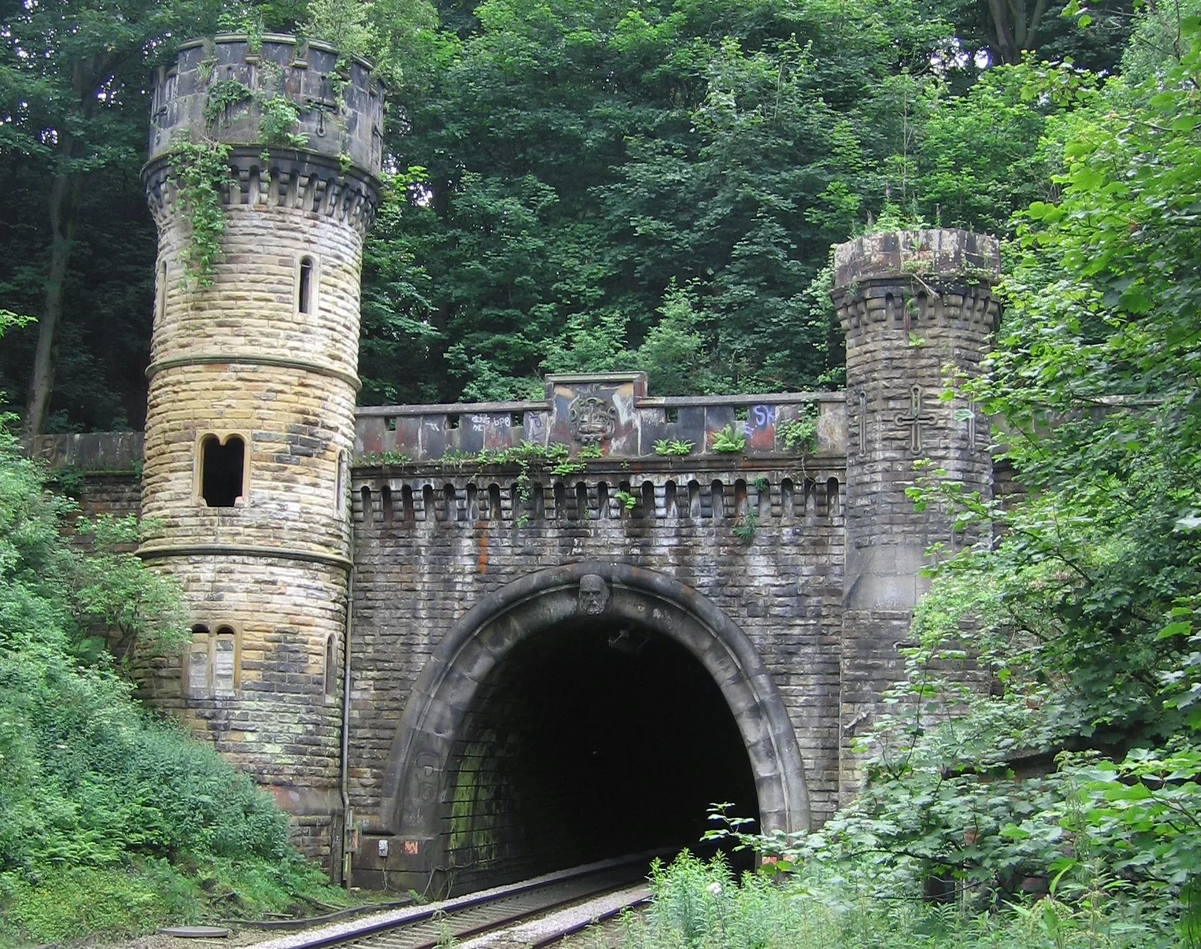
Devil's Frying PanViewpointDevil's Frying Pan is a distinctive geological formation along the route. Marvel at the unique rock structure and take in the beauty of this natural wonder.
8 km
8 km
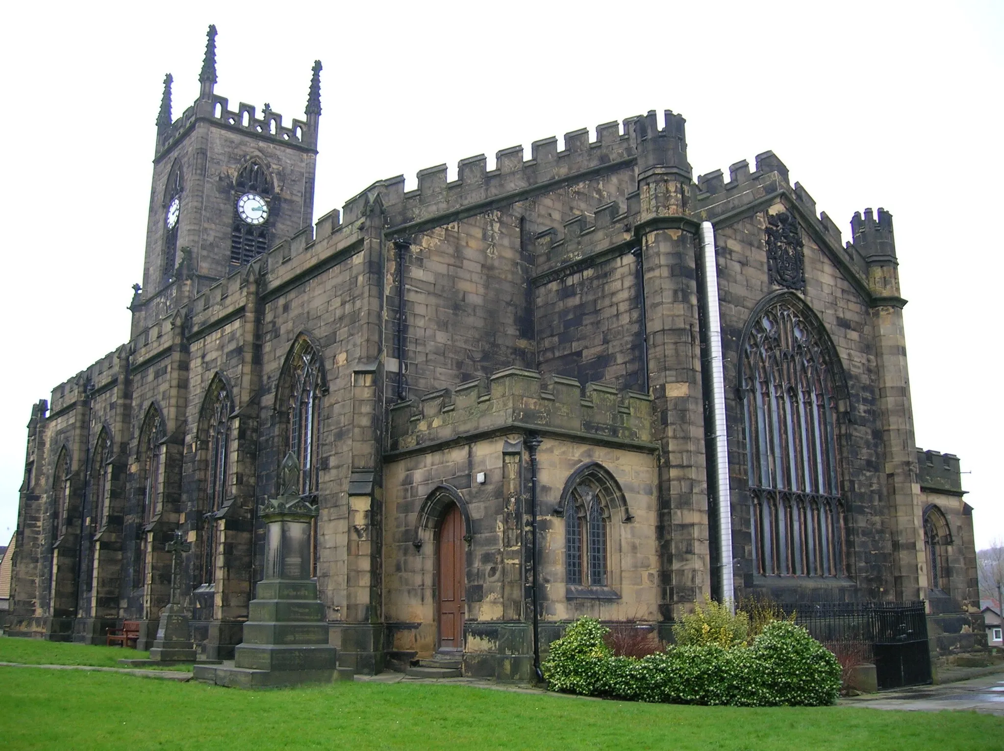
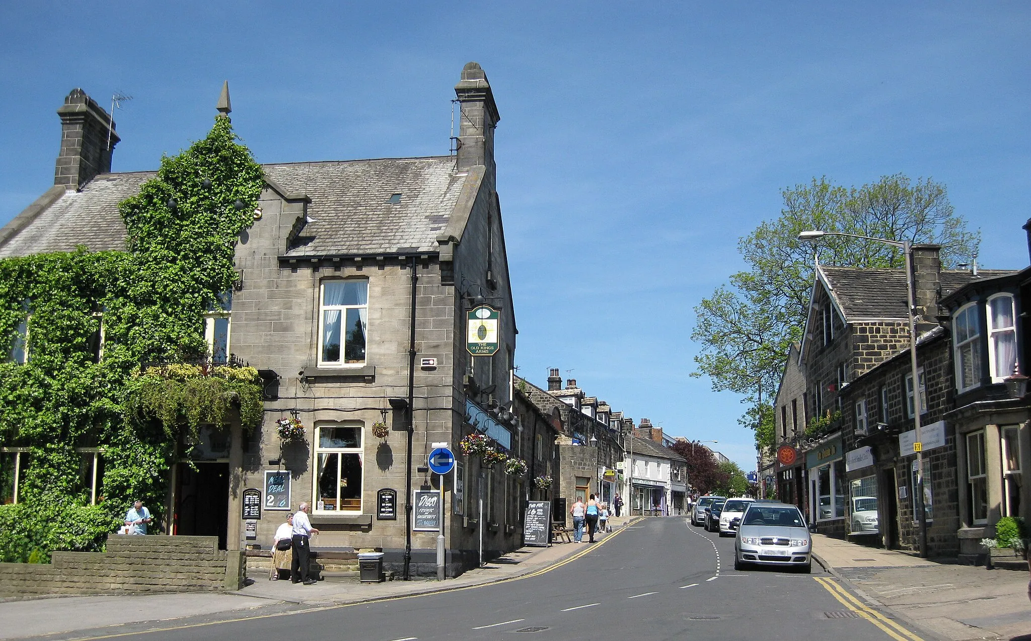
BramhopeVillageAs you pass through Bramhope, enjoy picturesque views of the countryside and take a moment to visit the beautiful St. Giles' Church, a Grade I listed building.
21 km
21 km
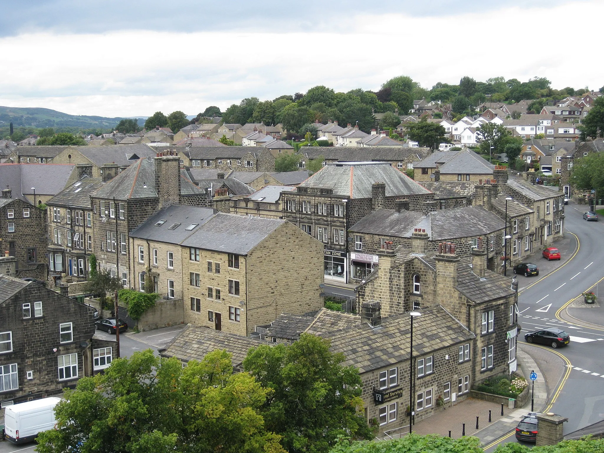
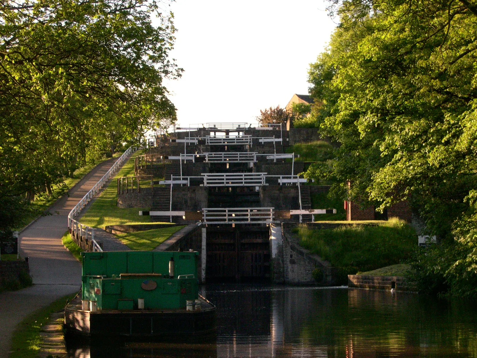
HolbeckSub-urbHolbeck is a charming village with a rich industrial history. Cycle through this area and discover remnants of its past, including historic mills and warehouses.
34 km
34 km
BatleyTownBatley is a town steeped in heritage. Explore the town center, visit the Batley Library and Art Gallery, or take a break at one of the local cafes and enjoy the vibrant atmosphere.
52 km
52 km
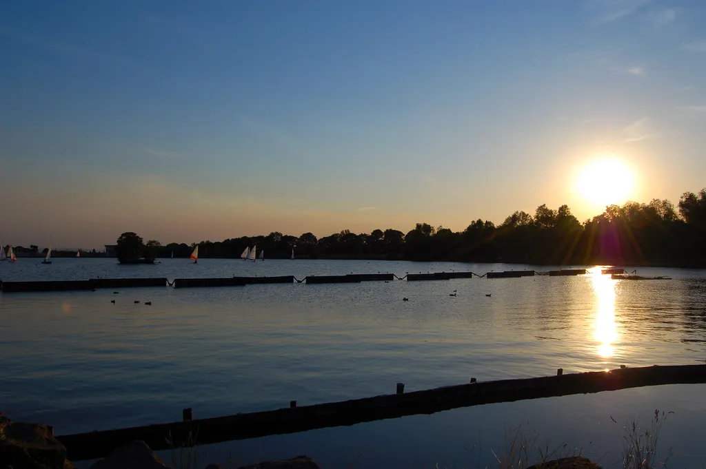
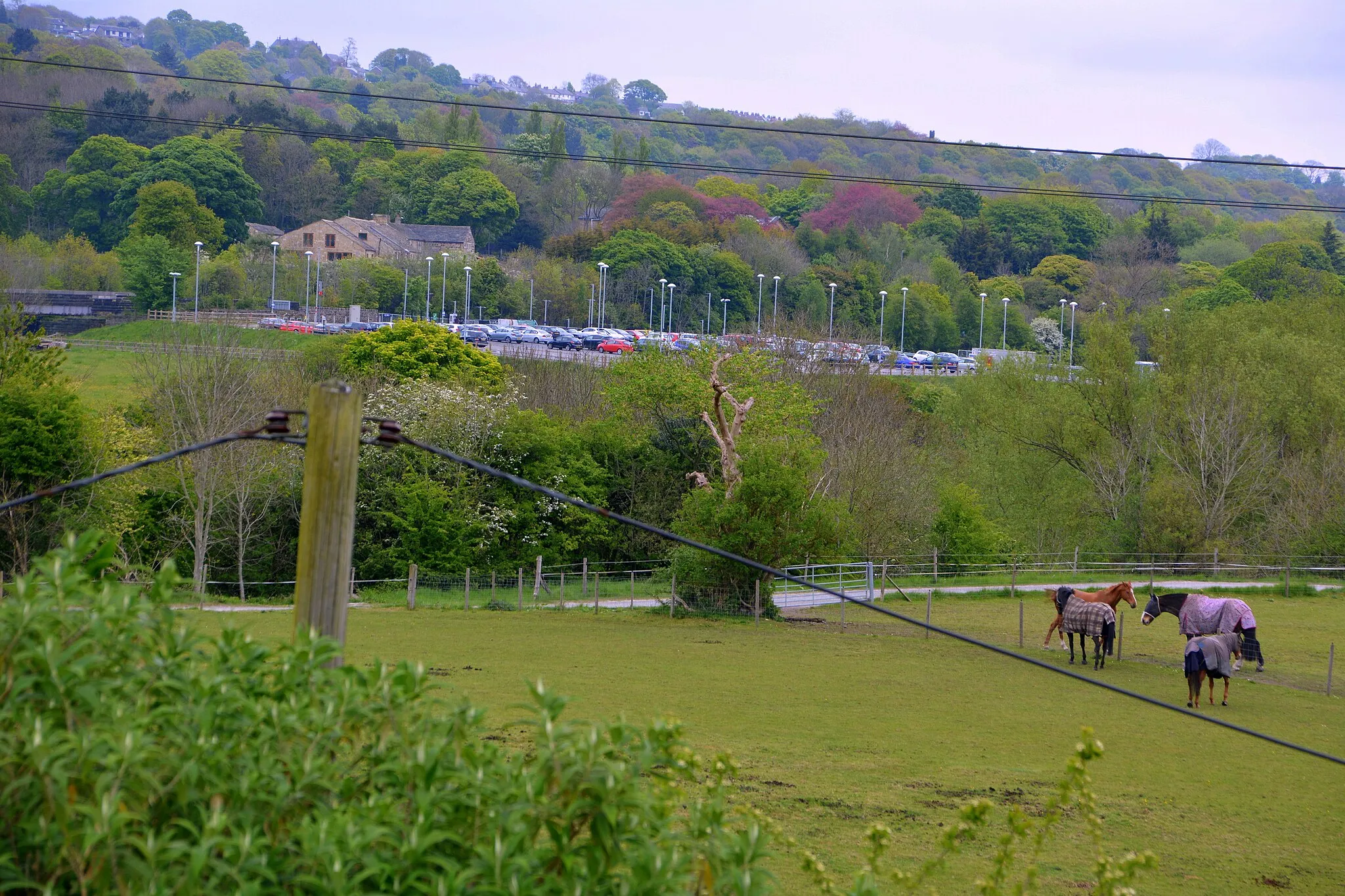
Apperley BridgeHamletApperley Bridge is a scenic spot along the route, offering stunning views of the River Aire. Take a moment to relax and soak in the tranquil surroundings.
60 km
60 km
Waiting RoomShelterThe Waiting Room, located in a former train station at Shipley, is a popular attraction for cyclists. Stop by for a delicious coffee, food, and enjoy the quirky atmosphere of this unique cafe.
60 km
60 km
Finish: Menston Village centerMenston: Peaceful countryside cycling amidst picturesque landscapes.
Cycling routes from Menston:
The Menston Loop The Yorkshire Countryside Challenge The Gravel Adventure The Leeds Valley Circuit The Nidderdale Adventure Burley-in-Wharfedale & Otley Gravel Loop Devil's Frying Pan & Holbeck Road Circuit Blubberhouses Lap & Otley Loop Sinclair's Field & Harewood House Road Trip Yeadon, Rawdon Trig point, Batley, Round Hill, Brighouse, Saltaire, and Menston Cycling Route
Cycling routes nearby: