Vejcykelrute til Table d'Orientation
En road cykelrute, der starter fra Vaison-la-Romaine
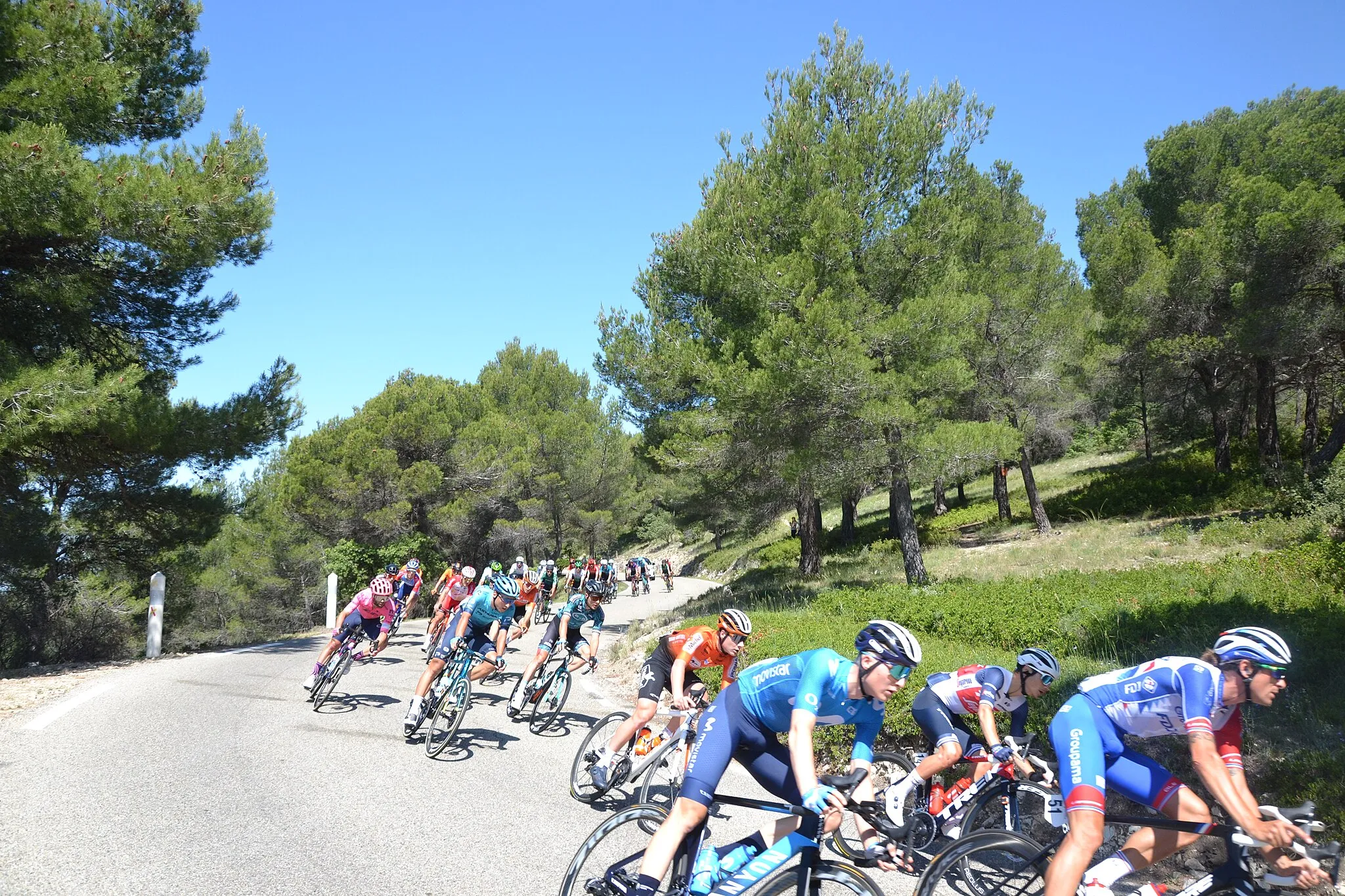
Challenging road route with breathtaking views and historical sites
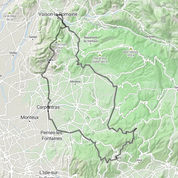
Kort
With a distance of 117 km and an ascent of 1813 m, this road cycling route takes you through Malaucène and Carpentras, offering a chance to visit sites like Col de la Madeleine and Table d'Orientation.
road
117 km
1813 m
Vild
Ruteprofil
Højdepunkter på ruten
0 km
0 km
Start: Vaison-la-Romaine City centerVaison-la-Romaine: Historisk by med fantastiske cykelmuligheder
Vaison-la-Romaine er en historisk by beliggende i Provence-Alpes-Côte d’Azur-regionen i Frankrig. Med sin charmerende gamle bydel og omgivet af smukke vinmarker, er det et fantastisk sted for landevejscyklister at udforske. I nærheden finder man også udfordrende stigninger som Mont Ventoux og Col de la Madeleine, hvilket gør området til et populært rejsemål for cykelentusiaster.10 km
10 km
MalaucèneLandsbyMalaucène is a charming town with a rich history to explore.
15 km
15 km
Col de la Madeleine448 mBjergpasCol de la Madeleine is a challenging climb with rewarding panoramic views.
33 km
33 km
Villes-sur-AuzonLandsbyVilles-sur-Auzon is a picturesque village to discover along the way.
74 km
74 km
VenasqueLandsbyVenasque offers a glimpse into the region's history and culture.
88 km
88 km
CarpentrasByCarpentras is a bustling town with plenty of amenities for cyclists.
103 km
103 km
Table d'OrientationUdsigtspunktTable d'Orientation provides stunning views of the surrounding landscape.
111 km
111 km
CrestetLandsbyCrestet is a charming village known for its beauty and tranquility.
117 km
117 km
Slut: Vaison-la-Romaine City centerVaison-la-Romaine: Historisk by med fantastiske cykelmuligheder
Cykelruter fra Vaison-la-Romaine:
Vejcykelrute til Table d'Orientation Carpentras til Vaison-la-Romaine på landevej Grusvej cykelrute til Site archéologique de la Villasse Vejcykelrute til Mirabel-aux-Baronnies Gruscykelrute fra Vaison-la-Romaine Grusvej cykelrute til Mont Ventoux Panorama-ruten i Orange Udfordrende rute langs Col de la Sausse Racer cykelrute gennem Provence Gruscykelrute til Montagne de Montlaud Gruscykelrute gennem Vinlandskabet Udfordrende rute gennem Provence Challenging Road Cycling Route near Vaison-la-Romaine