Gravel Route to Col de Tende
Cyklotrasa gravel začínajúca od Tende
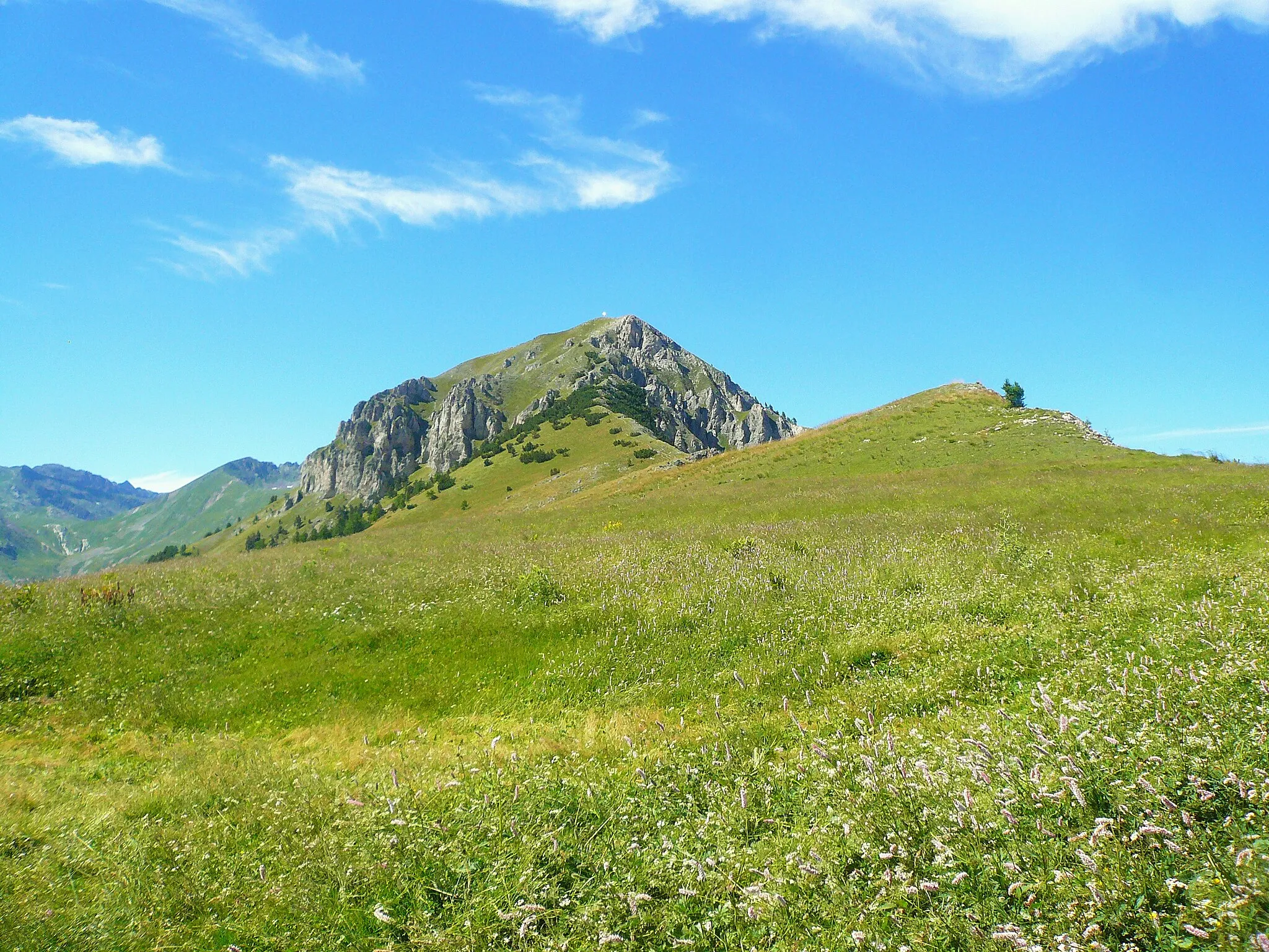
Hiking over the Col de Tende on gravel trails
Mapa
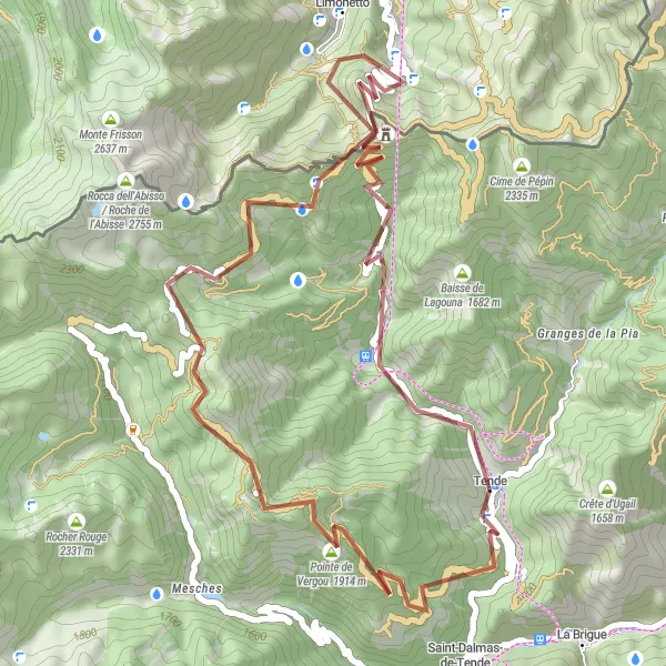
Take a challenging 50km route with 2064m ascent to reach the stunning Col de Tende. Enjoy the breathtaking views and diverse landscapes along the way, including the Baisse d'Ourne highlight.
gravel
50 km
2064 m
Oddych
Profil trasy
Zaujímavosti na trase
0 km
0 km
Štart: Tende Village centerTende: Horská cyklistika v malebnom prostredí
Tende je malá obec v regióne Provence-Alpes-Côte d’Azur vo Francúzsku. Cyklisti si tu môžu užívať horské cesty a zaujímavé prírodné útvary. Okolie je vhodné pre horské bicykle a ponúka množstvo zaujímavých miest na preskúmanie.14 km
14 km
Baisse d'Ourne2040 mHorský priesmykExperience the unique rock formations and lush vegetation at Baisse d'Ourne.
29 km
29 km
Panice SopranaOsadaMarvel at the panoramic views of Panice Soprana as you conquer the challenging gravel route.
34 km
34 km
Col de Tende / Colle di Tenda1871 mHorský priesmykReach the historic Col de Tende, a significant pass connecting France and Italy.
44 km
44 km
Le Caïron1642 mVrcholAdmire the picturesque village of Le Caïron before heading back to Tende.
50 km
50 km
TendeDedinaBegin and end your journey in the charming town of Tende.
50 km
50 km
Cieľ: Tende Village centerTende: Horská cyklistika v malebnom prostredí
Cyklotrasy od Tende:
Gravel Route to Col de Tende Gravel Route to Cime de Pépin Road Route to Fontan Okruh cez Limone Piemonte a Monte Bianco Gravel okruh cez Col de Loubaïra Road Route to Berghe Supérieur Zaujímavý gravel okruh cez Monte Saccarello Cesta okolo turistickej oblasti Tende Road cycling adventure through Ligurian Alps