![Cover image](https://images.tarmacs.app/cycling-routes/covers/austria/niederosterreich/gfoehl-5.webp)
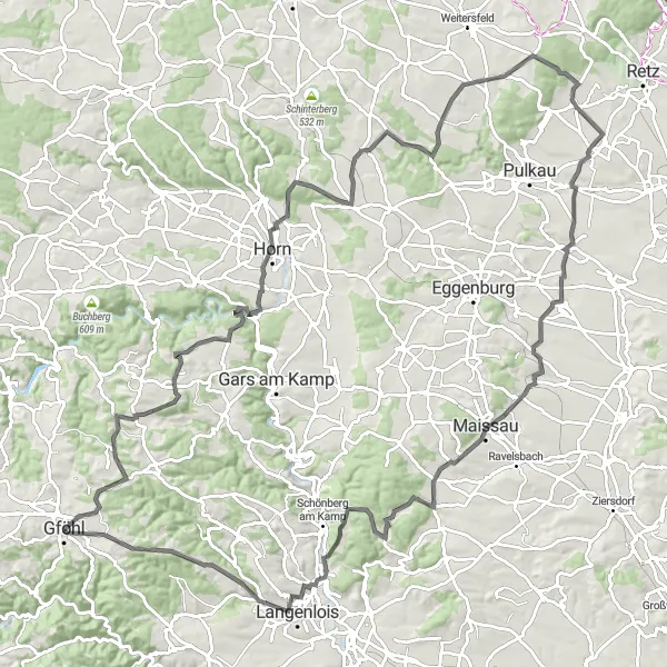
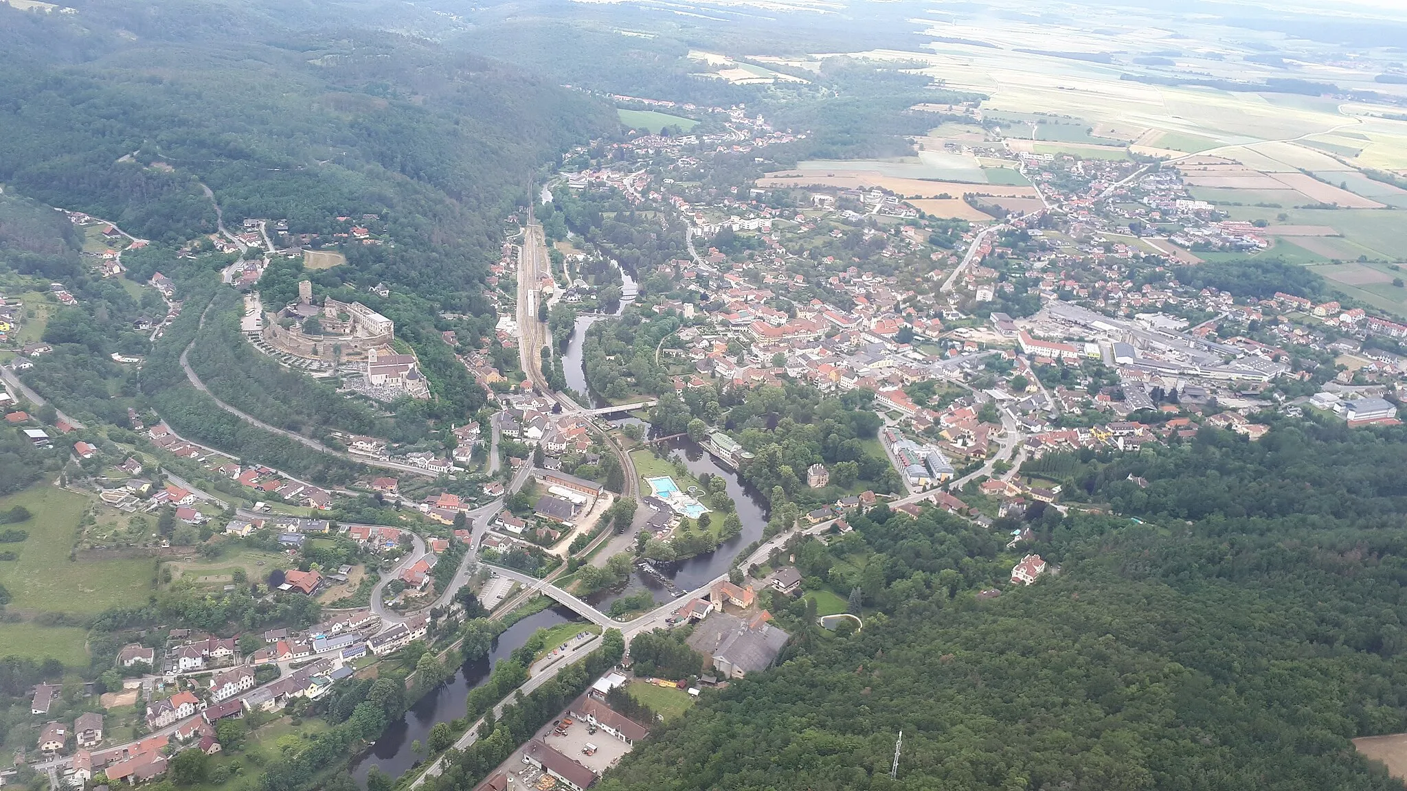
Cyklistická oáza v Gföhlu
Cyklistické trasy kolem Gfoehl
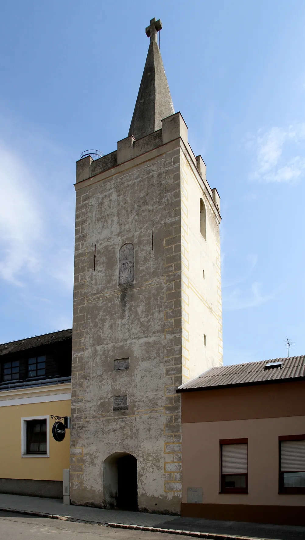
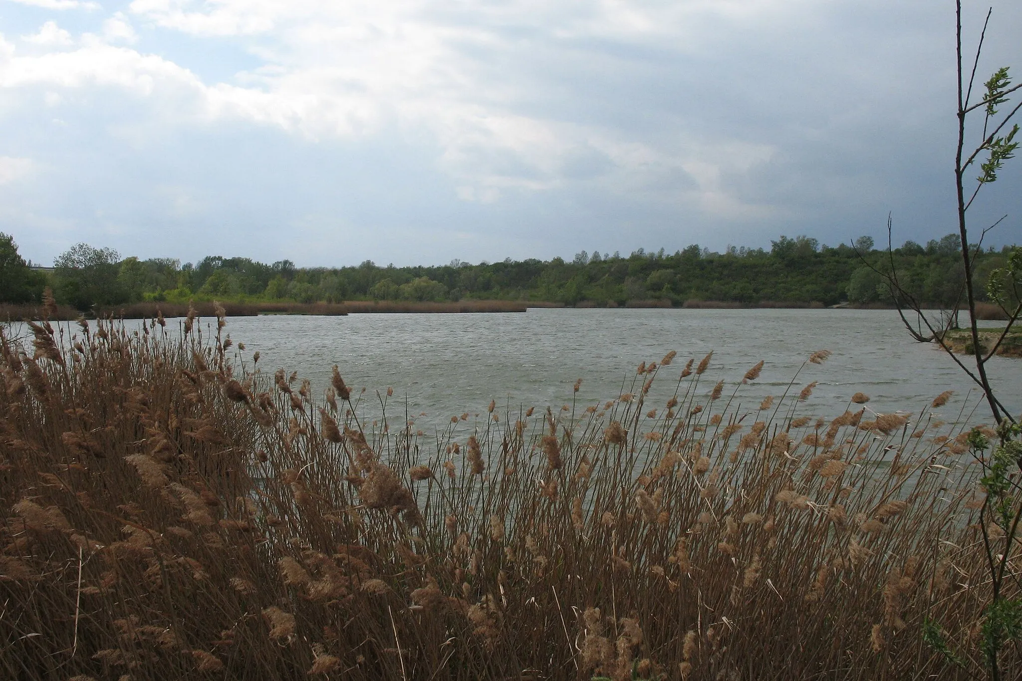
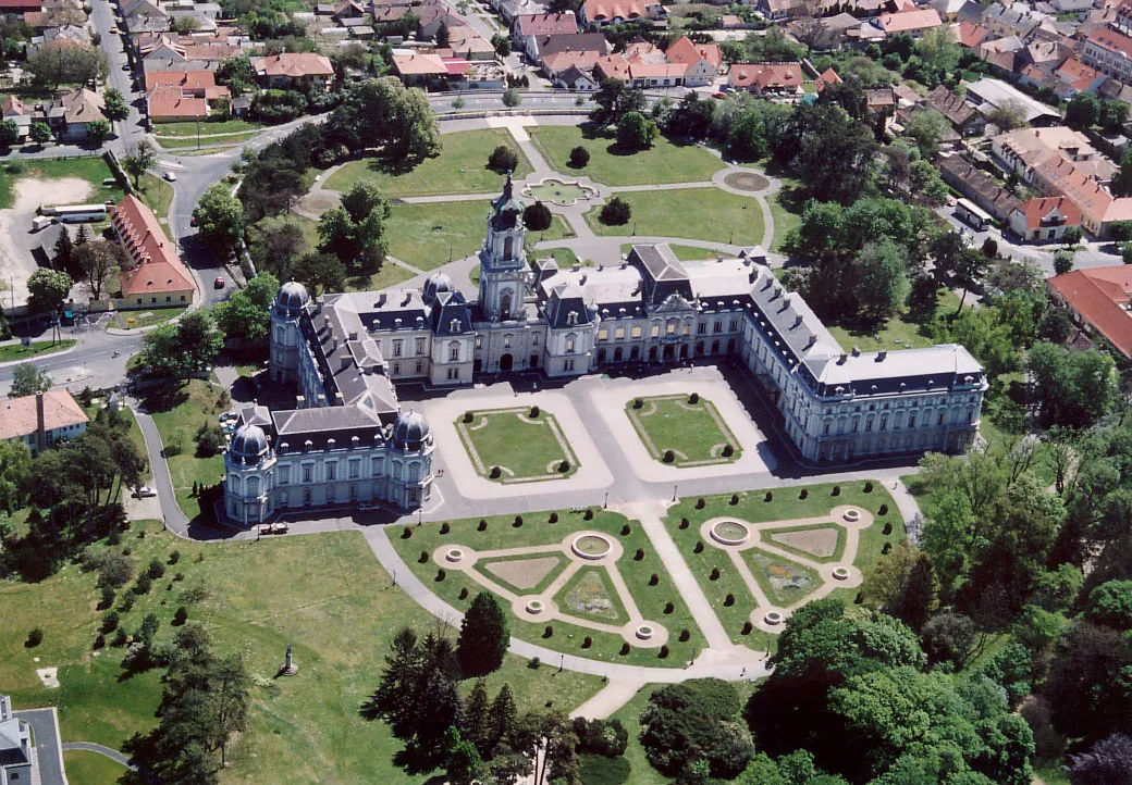
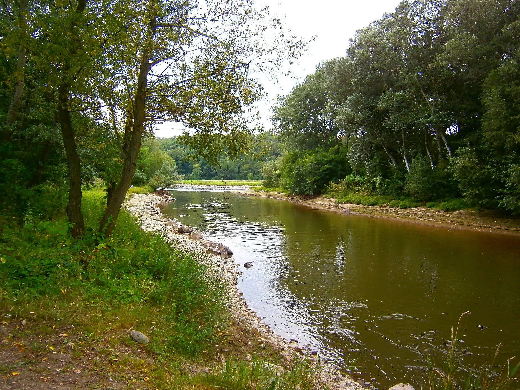
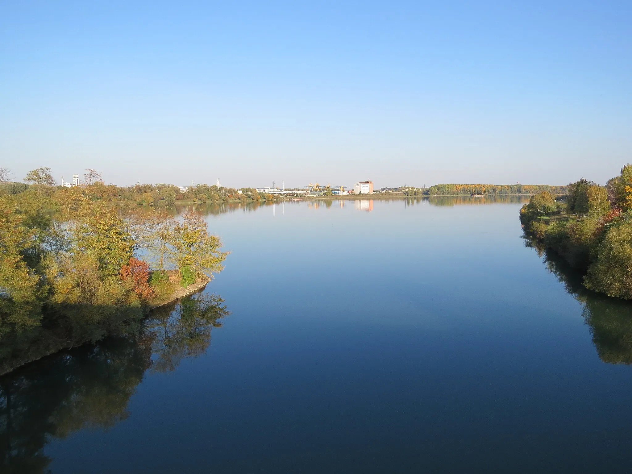
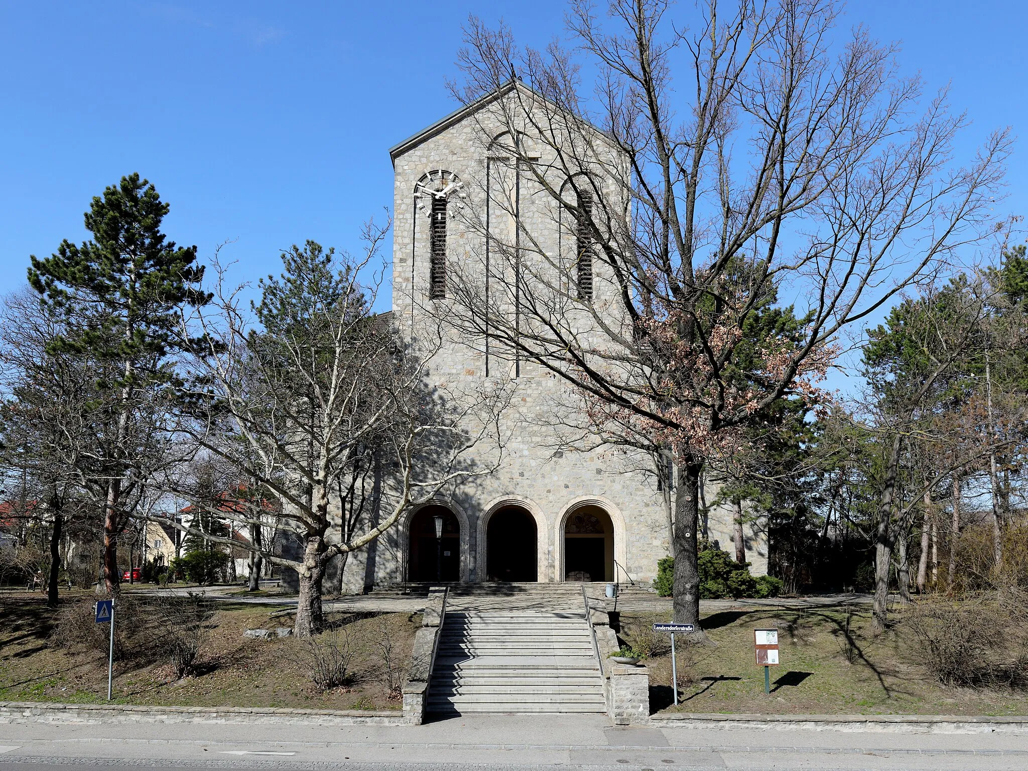
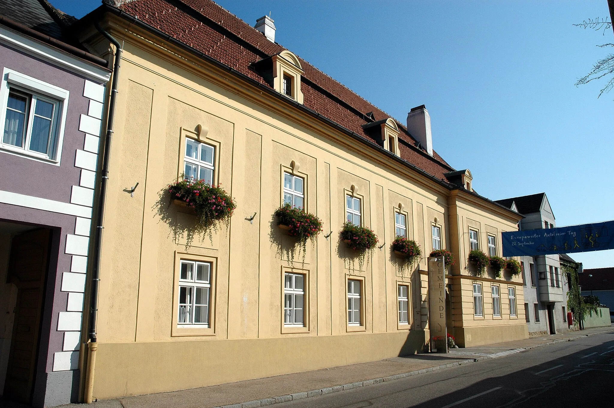
Gföhl je malebná lokalita v Dolním Rakousku s klidnými cyklostezkami a příjemným prostředím pro cyklistiku. Krásná příroda v okolí láká ke výletům na kole.
Cyklotrasa od Gföhl
![Miniaturní mapa "Cyklotrasa od Gföhl" inspirace pro cyklisty v oblasti Niederösterreich, Austria. Vytvořeno pomocí plánovače tras Tarmacs.app](https://images.tarmacs.app/cycling-routes/routemaps/600/austria/niederosterreich/gfoehl/road/326903.webp)
Procestujte malebnou krajinu kolem Gföhl na horském kole.
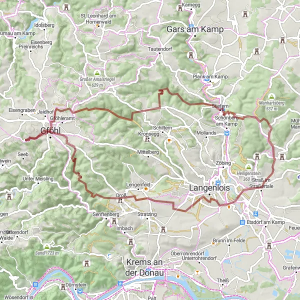
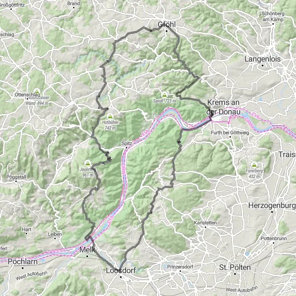
Tato cyklotrasa nabízí 122 km úchvatné scenérie a 1589 m stoupání. Projedete kolem malebných vesnic jako Gföhl, Maissau a Zöbing. Na trase nezapomeňte zastavit na Glasbergu a v Oberkürbergu a podívat se na historické pamětihodnosti. Užijte si krásy Niederösterreichs na tuto zdařilou cyklistickou trasu.
![Miniaturní mapa "60 km Road Cycling Tour to Gföhl" inspirace pro cyklisty v oblasti Niederösterreich, Austria. Vytvořeno pomocí plánovače tras Tarmacs.app](https://images.tarmacs.app/cycling-routes/routemaps/600/austria/niederosterreich/gfoehl/road/326951.webp)
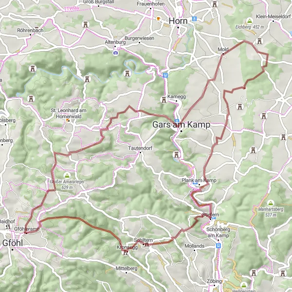
Embark on a thrilling 60 km road cycling tour to explore the enchanting surroundings of Gföhl
This 60 km route includes 923 m of ascent and takes you through Obertautendorferamt, Hagmannriegel, Fuglau, and Kuhberg. Enjoy the scenic views from Schanzberg, cycle through Tautendorf, and visit the charming village of Ullreichsberg. Don't miss the highlights of Gföhleramt before finishing the tour.
![Miniaturní mapa "Okruh kolem Gföhl - Schloss Jaidhof až Jaidhof" inspirace pro cyklisty v oblasti Niederösterreich, Austria. Vytvořeno pomocí plánovače tras Tarmacs.app](https://images.tarmacs.app/cycling-routes/routemaps/600/austria/niederosterreich/gfoehl/road/326911.webp)
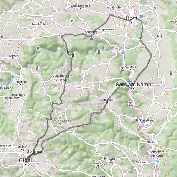
Náročný silniční okruh s 1248 m převýšením na 85 km
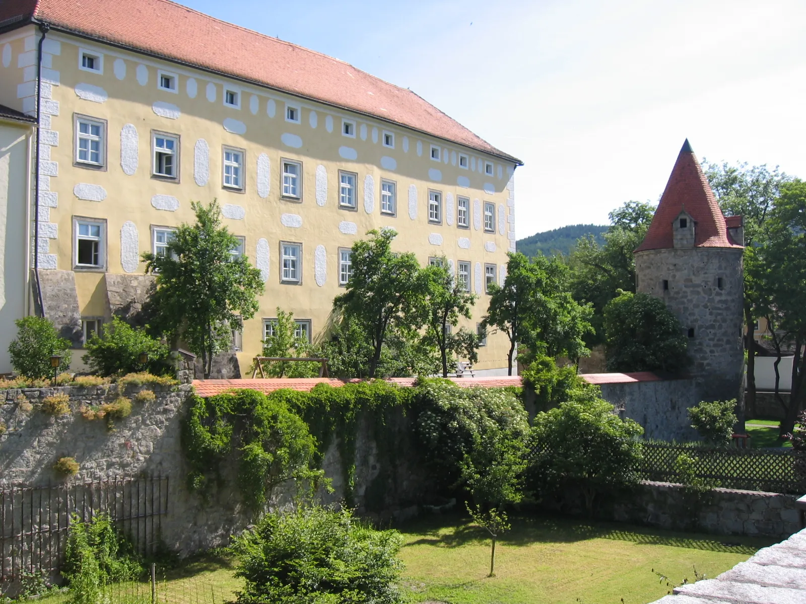
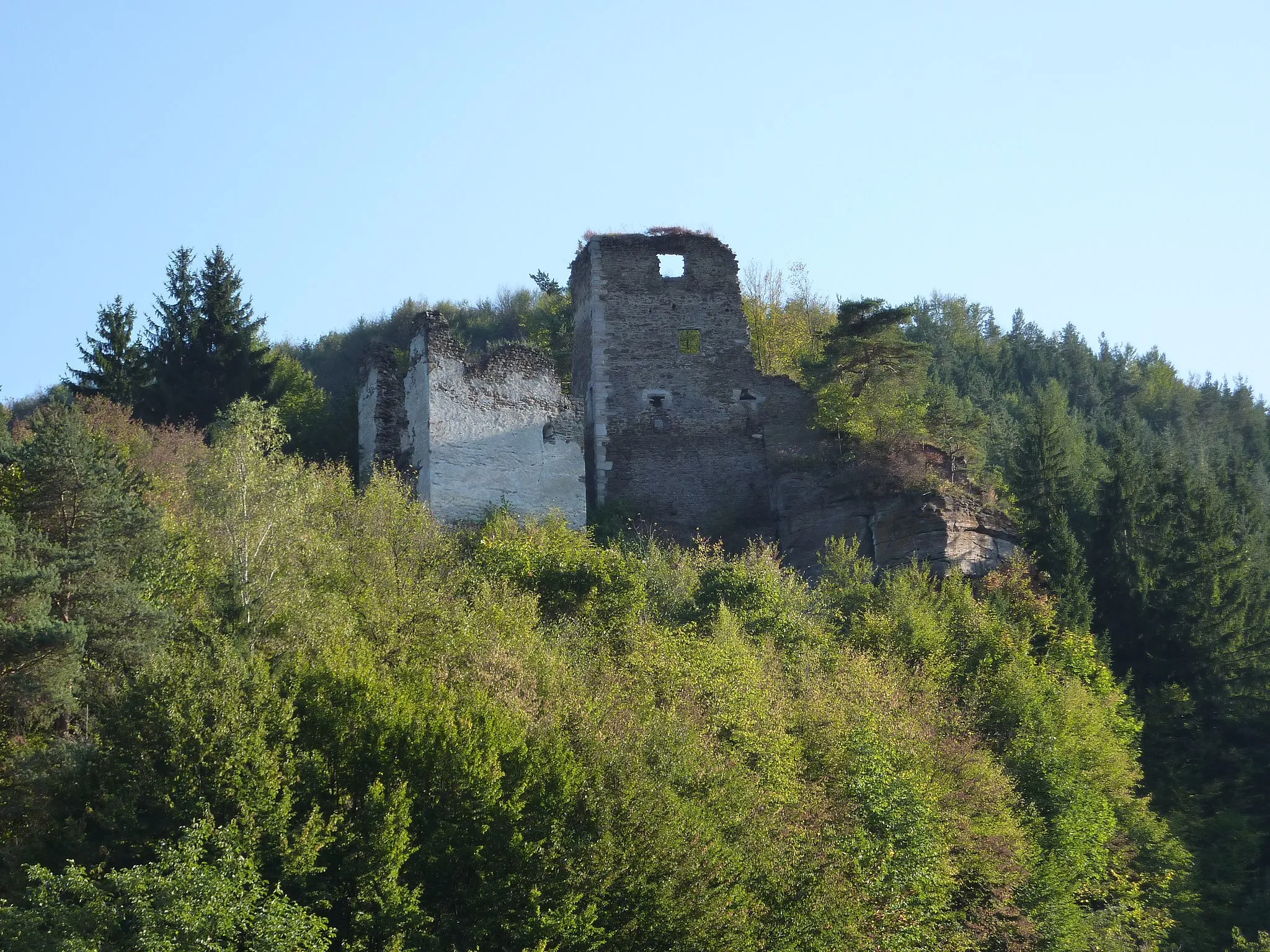
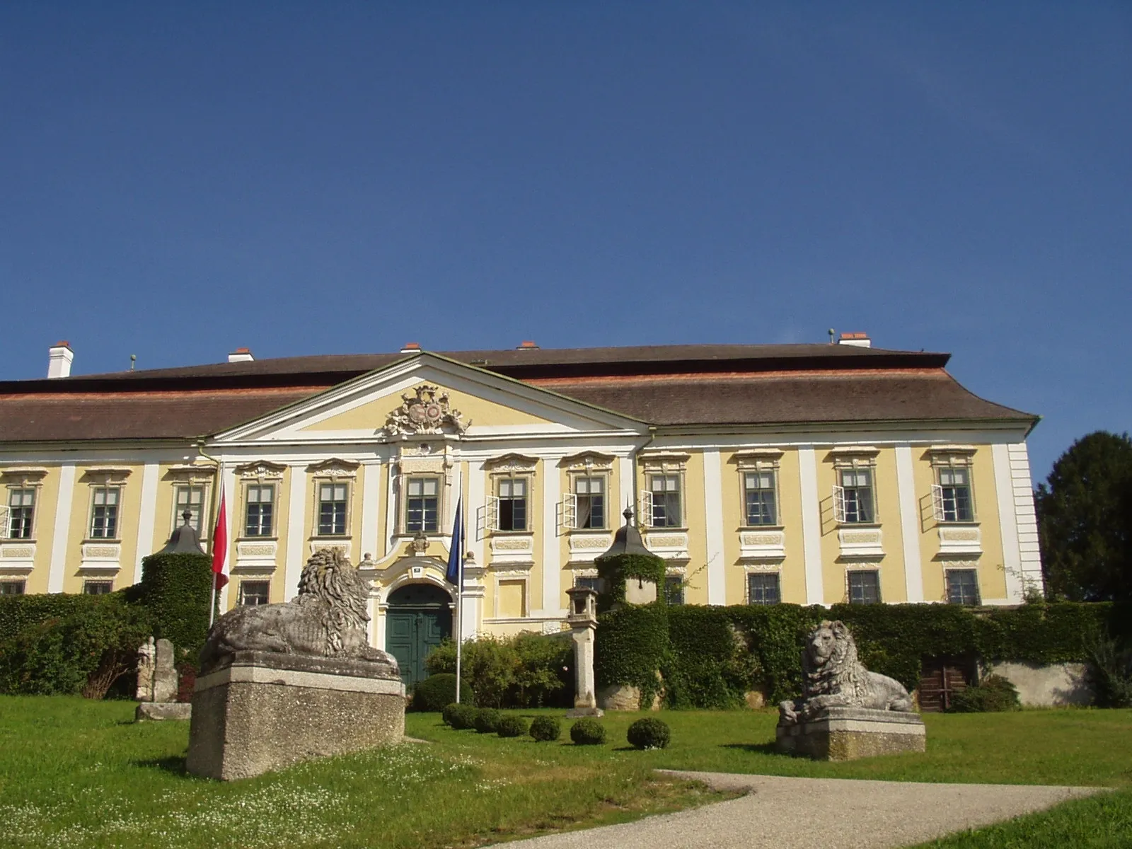
Tento okruh nabízí malebné výhledy na historická místa a krásnou krajinu. Cestou uvidíte Schloss Jaidhof, Schallerberg, Edelhof, Zwinzen, Landskape Titler, FELSEN a Jaidhof.
![Miniaturní mapa "Výlet kolem Gföhl - Ullreichsberg až Gföhl" inspirace pro cyklisty v oblasti Niederösterreich, Austria. Vytvořeno pomocí plánovače tras Tarmacs.app](https://images.tarmacs.app/cycling-routes/routemaps/600/austria/niederosterreich/gfoehl/road/326870.webp)
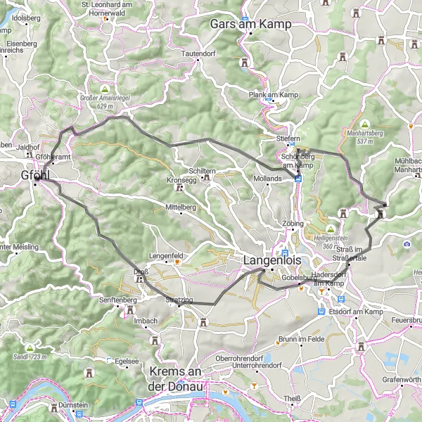
Náročný silniční okruh s 943 m převýšením na 59 km
Tento okruh nabízí malebné výhledy na okolní krajinu a historická místa. Cestou uvidíte Ullreichsberg, Eichkogel, Marienschlössl, Gobelsburg, Bäckenhöhe a Gföhl.
![Miniaturní mapa "68 km Gravel Cycling Tour near Gföhl" inspirace pro cyklisty v oblasti Niederösterreich, Austria. Vytvořeno pomocí plánovače tras Tarmacs.app](https://images.tarmacs.app/cycling-routes/routemaps/600/austria/niederosterreich/gfoehl/gravel/326871.webp)
Embark on a thrilling 68 km gravel cycling tour through the scenic countryside near Gföhl
This route features 1123 m of ascent and takes you through Obertautendorferamt, Glasberg, Wolfshof, and Steinriegel. Enjoy the peaceful surroundings in Maiersch, cycle through Stiefern, and pass by the picturesque Hausberg. Don't miss the beautiful landscapes of Stackelberg before finishing the tour.
![Miniaturní mapa "68 km Gravel Cycling Adventure to Gföhl" inspirace pro cyklisty v oblasti Niederösterreich, Austria. Vytvořeno pomocí plánovače tras Tarmacs.app](https://images.tarmacs.app/cycling-routes/routemaps/600/austria/niederosterreich/gfoehl/gravel/326888.webp)
Embark on a scenic 68 km gravel cycling adventure from Gföhl to explore the surrounding countryside
This gravel route includes 1222 m of ascent and takes you through Schloss Jaidhof, Stackelberg, Klopfhartsberg, and Stiefern. Enjoy the views from Jungenberg, cycle through Gobelsburg, and pass by the charming village of Droß. Don't miss the scenic landscapes of Herzogentisch and Gföhl before finishing the adventure.
![Miniaturní mapa "Okruh kolem Gföhl - Jaidhof až Leisberg" inspirace pro cyklisty v oblasti Niederösterreich, Austria. Vytvořeno pomocí plánovače tras Tarmacs.app](https://images.tarmacs.app/cycling-routes/routemaps/600/austria/niederosterreich/gfoehl/road/326918.webp)
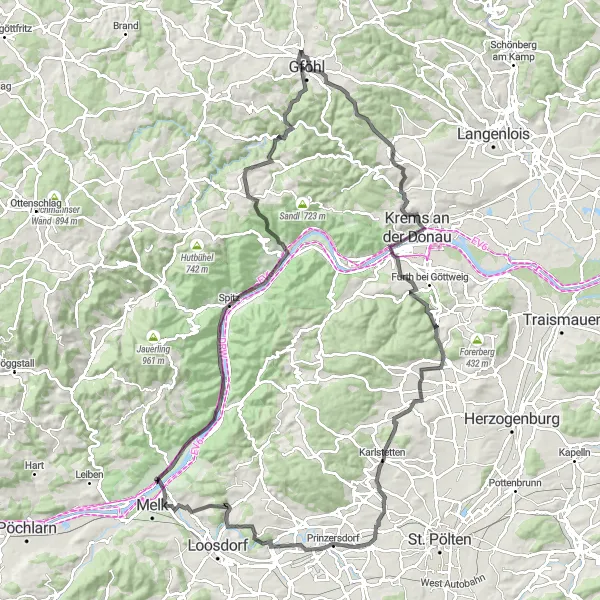
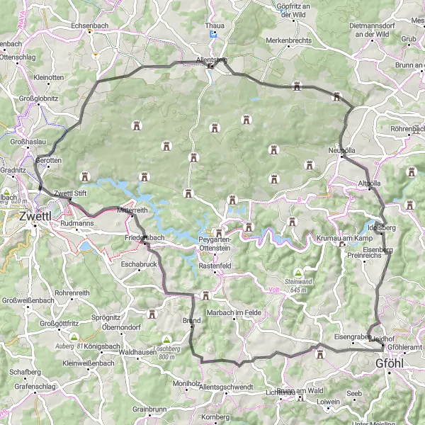
Náročný silniční okruh s 1560 m převýšením na 116 km
Tento okruh nabízí nádherné výhledy na vinice a historická místa. Cestou uvidíte Jaidhof, Janerhof, Panoramablick, Karlstetten, Hofinger Höhe, Osterburg, Tannenberg, Schwallenbach, Lusthaus, Weinzierl am Walde a Leisberg.
![Miniaturní mapa "Výlet kolem Gföhl - Galgenberg až Burgstall" inspirace pro cyklisty v oblasti Niederösterreich, Austria. Vytvořeno pomocí plánovače tras Tarmacs.app](https://images.tarmacs.app/cycling-routes/routemaps/600/austria/niederosterreich/gfoehl/gravel/326896.webp)
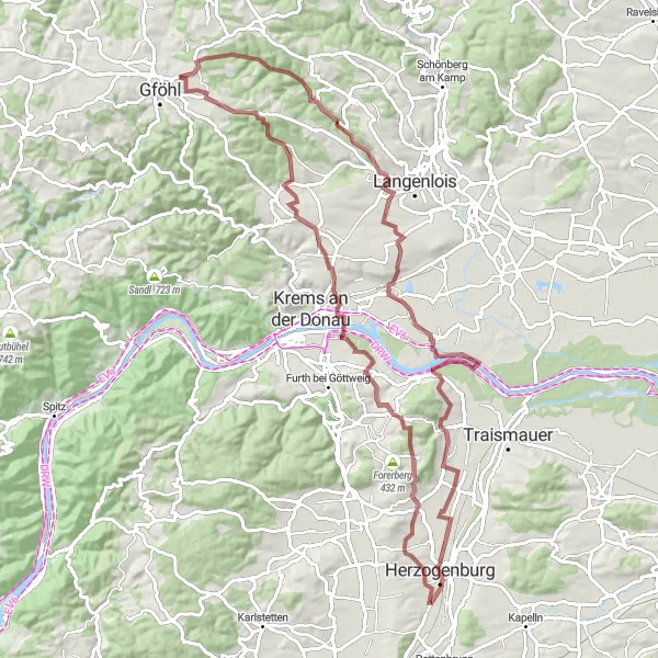
Náročný gruzový okruh s 1161 m převýšením na 91 km
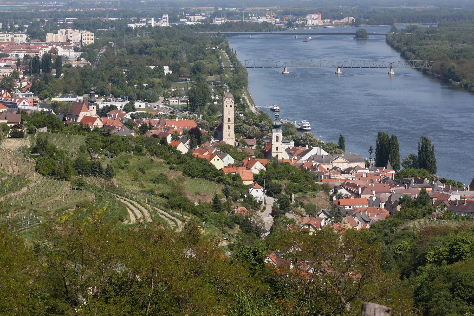
Extrémně náročný okruh s mnoha významnými body zájmu. Cestou uvidíte Galgenberg, Stratzing, Krustetten, WEINBERGSCHNECKE, Herzogenburg, Schiffberg, Rohrendorf bei Krems, Burgruine Kronsegg a Burgstall.
![Miniaturní mapa "Gravelová trasa Gföhl - Niederösterreich" inspirace pro cyklisty v oblasti Niederösterreich, Austria. Vytvořeno pomocí plánovače tras Tarmacs.app](https://images.tarmacs.app/cycling-routes/routemaps/600/austria/niederosterreich/gfoehl/gravel/326878.webp)
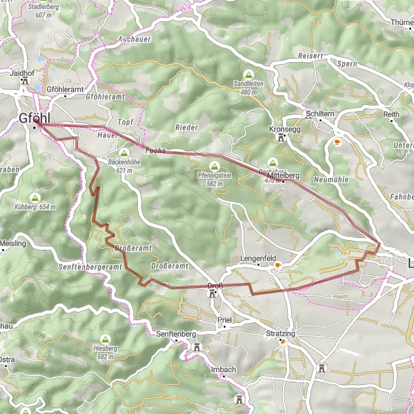
Zajímavá trasa s krásnými výhledy a příjemnými terény.
Tato trasa nabízí 32 km vzrušujícího gravelového cyklování s převýšením 630 m. Projedete kolem malebných Holzbergu, útulného Mittelbergu, malebného Aubergu a historického Droß. Vrchol trasy rozhodně představuje Dreiturmberg se svými impozantními výhledy.
![Miniaturní mapa "Trasa kolem Senftenbergeramt a Hiesbergwarte" inspirace pro cyklisty v oblasti Niederösterreich, Austria. Vytvořeno pomocí plánovače tras Tarmacs.app](https://images.tarmacs.app/cycling-routes/routemaps/600/austria/niederosterreich/gfoehl/road/326910.webp)
Kolojízda s výhledy na historická místa a malebnou krajinu
Tato 120 km dlouhá cyklotrasa nabízí pohled na Schloss Mautern a Schloss Grabenhof. Projedete také kolem Kalkbergu a navštívíte Donauwarte a Kalkofen. Cesta končí u Schloss Brunn am Wald a Stocketsberg.
Cyklotrasy v okolí:
![Obrázek Rehberg](https://images.tarmacs.app/cycling-routes/covers/austria/niederosterreich/rehberg-2.webp)
![Obrázek Langenlois](https://images.tarmacs.app/cycling-routes/covers/austria/niederosterreich/langenlois-5.webp)
![Obrázek Stein an der Donau](https://images.tarmacs.app/cycling-routes/covers/austria/niederosterreich/stein-an-der-donau-4.webp)
![Obrázek Krems an der Donau](https://images.tarmacs.app/cycling-routes/covers/austria/niederosterreich/krems-an-der-donau-3.webp)
![Obrázek Mautern](https://images.tarmacs.app/cycling-routes/covers/austria/niederosterreich/mautern-5.webp)
![Obrázek Gars am Kamp](https://images.tarmacs.app/cycling-routes/covers/austria/niederosterreich/gars-am-kamp-3.webp)
![Obrázek Lerchenfeld](https://images.tarmacs.app/cycling-routes/covers/austria/niederosterreich/lerchenfeld-5.webp)
![Obrázek Rohrendorf bei Krems](https://images.tarmacs.app/cycling-routes/covers/austria/niederosterreich/rohrendorf-bei-krems-4.webp)
![Obrázek Furth bei Göttweig](https://images.tarmacs.app/cycling-routes/covers/austria/niederosterreich/furth-bei-goettweig-5.webp)
Okolní oblasti:
![Obrázek Burgenland](https://images.tarmacs.app/cycling-routes/covers/austria/burgenland/moenchhof-2.webp)
![Obrázek Vídeň](https://images.tarmacs.app/cycling-routes/covers/austria/wien/favoriten-5.webp)
![Obrázek Kärnten](https://images.tarmacs.app/cycling-routes/covers/austria/karnten/bad-sankt-leonhard-im-lavanttal-1.webp)
![Obrázek Steiermark](https://images.tarmacs.app/cycling-routes/covers/austria/steiermark/hart-bei-graz-5.webp)
![Obrázek Oberösterreich](https://images.tarmacs.app/cycling-routes/covers/austria/oberosterreich/freistadt-5.webp)
![Obrázek Středočeský kraj](https://images.tarmacs.app/cycling-routes/covers/czech-republic/stredni-cechy/komarov-1.webp)
![Obrázek Jihozápad](https://images.tarmacs.app/cycling-routes/covers/czech-republic/jihozapad/vetrni-5.webp)
![Obrázek Jihovýchod](https://images.tarmacs.app/cycling-routes/covers/czech-republic/jihovychod/svratka-3.webp)
![Obrázek Střední Morava](https://images.tarmacs.app/cycling-routes/covers/czech-republic/stredni-morava/roznov-pod-radhostem-2.webp)
![Obrázek Nyugat-Dunántúl](https://images.tarmacs.app/cycling-routes/covers/hungary/nyugat-dunantul/keszthely-2.webp)
![Obrázek Bratislavský kraj](https://images.tarmacs.app/cycling-routes/covers/slovakia/bratislavsky-kraj/malacky-1.webp)
![Obrázek Západné Slovensko](https://images.tarmacs.app/cycling-routes/covers/slovakia/zapadne-slovensko/tlmace-4.webp)