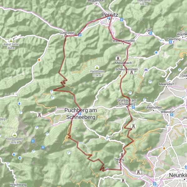
Rekreační cyklistika v Dolním Rakousku
Cyklistické trasy kolem Pernitz
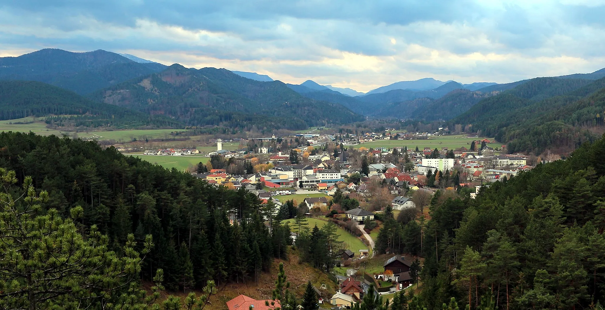
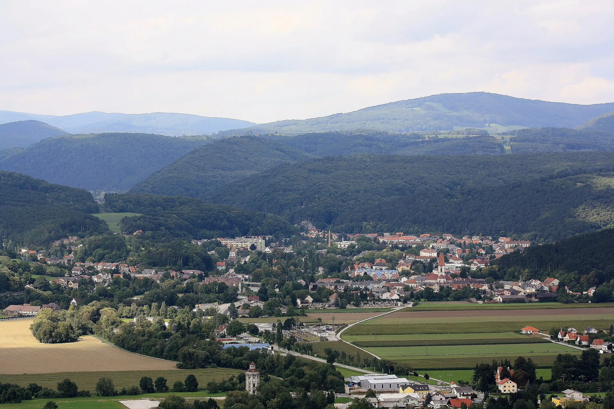
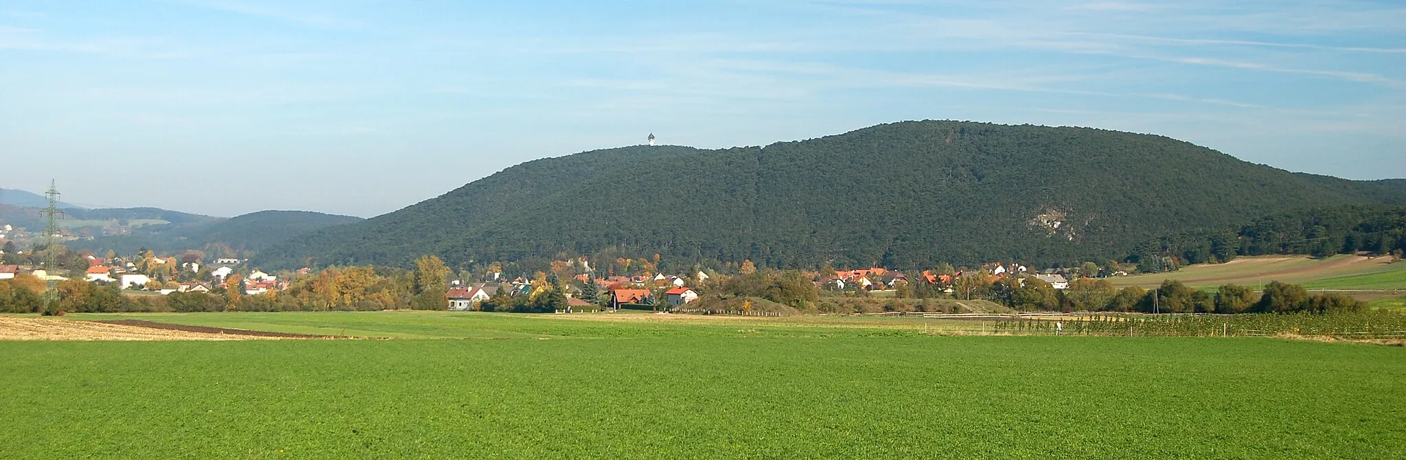
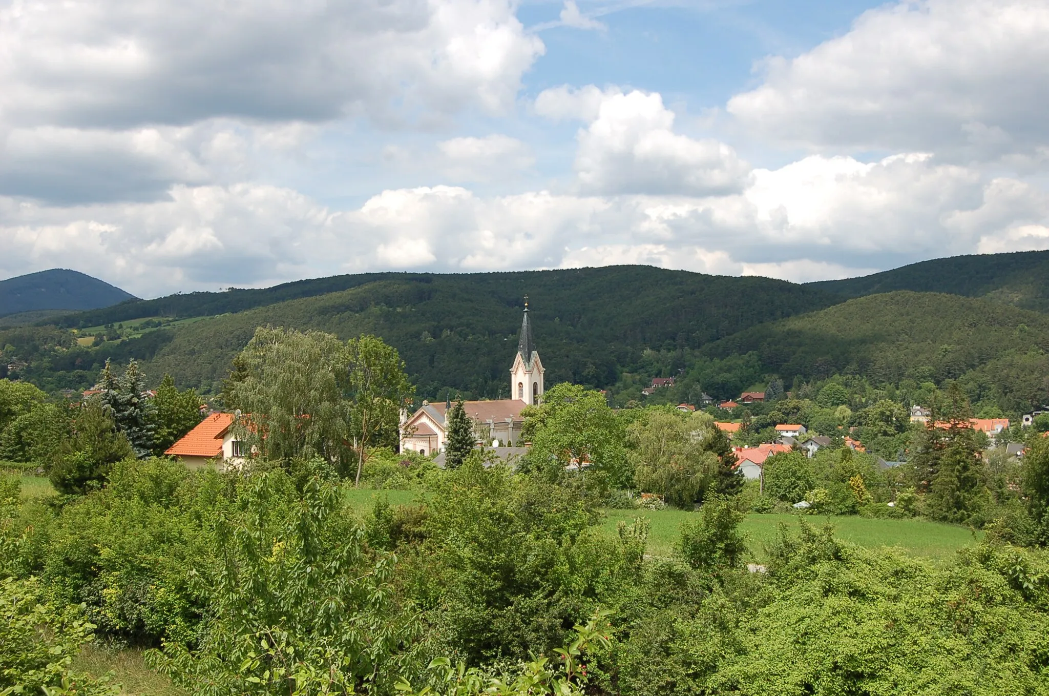
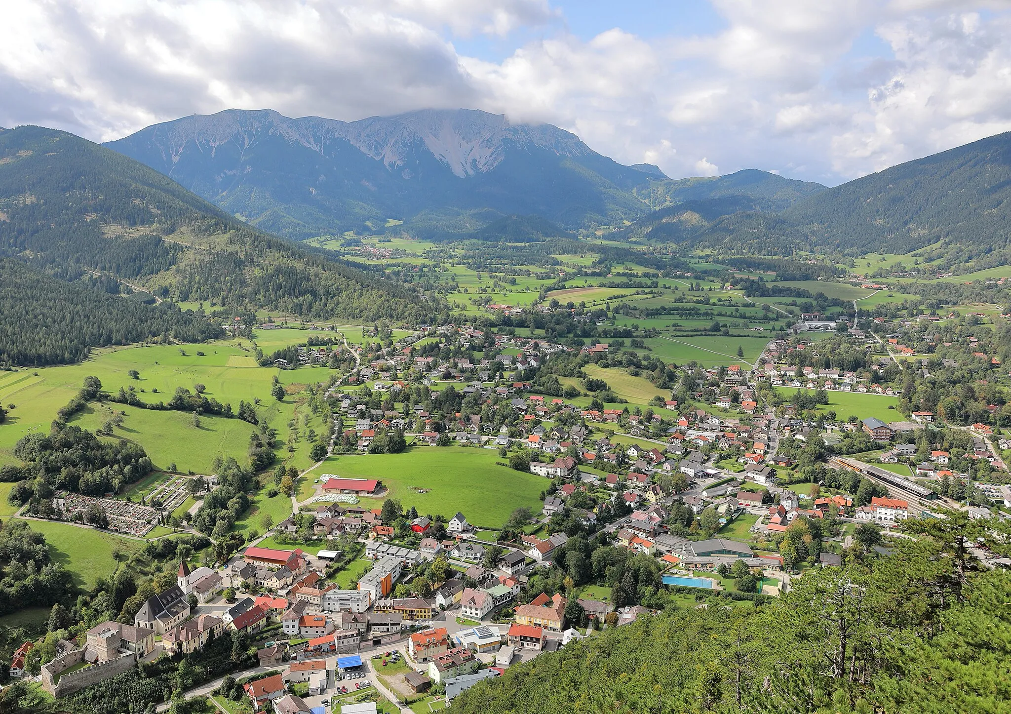
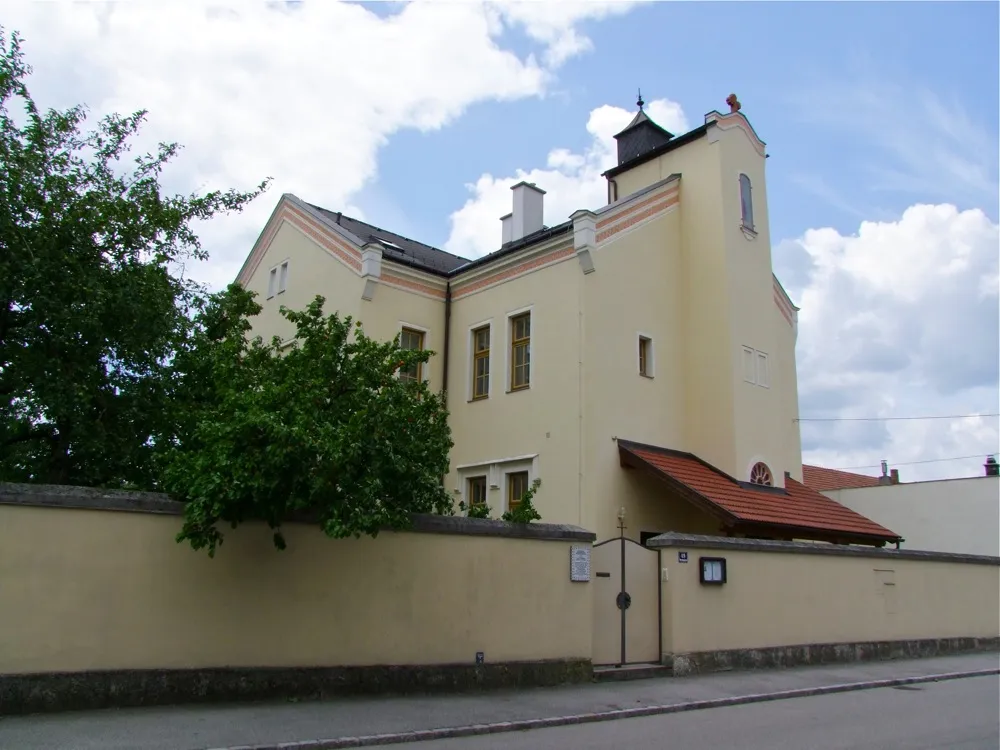
Pernitz je malebná obec v regionu Dolního Rakouska s příjemným venkovským prostředím. Pro cyklisty zde není tolik možností, ale okolní kopcovitá krajina nabízí klidné trasy pro rekreační jízdu. V blízkosti se nacházejí lesy a horské průsmyky ideální pro gravel biking.

Explore the scenic gravel route from Pernitz to Ortmann
This unique gravel route takes you through picturesque landscapes and charming villages. With a total ascent of 1305 meters over 58 kilometers, you'll enjoy a challenging yet rewarding ride. Highlights include the historical town of Pottenstein and the stunning views from Vogelsang. Experience the beauty of Niederösterreich on this cycling adventure.
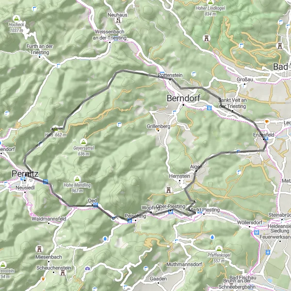
Embark on a scenic road route from Grabenweg to Ortmann
This road route offers a scenic ride with a total ascent of 847 meters over 52 kilometers. Highlights include the charming village of Hirtenberg and the scenic views from Kogel. Enjoy the peaceful countryside and picturesque villages along this relaxing cycling journey.
Příjemná cesta plná zastávek
Trasa kolem Etschenbergu nabízí příjemnou cyklojízdu plnou zastávek, kde si můžete odpočinout a obdivovat krásy okolní krajiny. Navštivte historickou památku Ruine Gutenstein či úchvatnou Schwarzau im Gebirge. Cesta je vhodná pro cyklisty všech úrovní dovedností a nabízí pohledy na okolní lesy a hory.
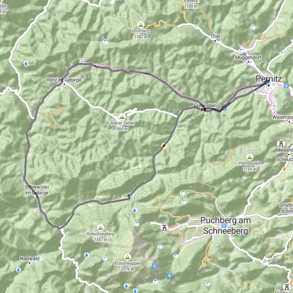
Lesní cyklotrasa Pernitz
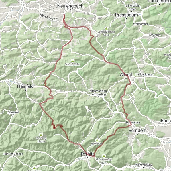
Užijte si horskou jízdu na lesních cestách
Tato trasa nabízí 107 km plných dobrodružství v přírodě. S převýšením 2310 metrů a 11 různými vrcholy, včetně Allandu a Peilsteinu, nečekejte nic jiného než nádherné výhledy a fyzickou náročnost.
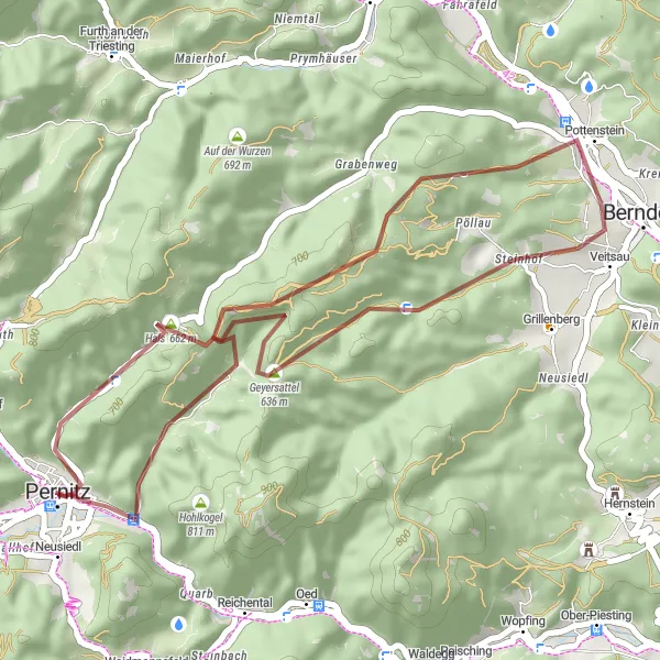
Explore the scenic gravel route from Pernitz to Naturfreunderast
Embark on a challenging gravel excursion with a total ascent of 963 meters over 35 kilometers. Highlights include the picturesque Waxeneck and the tranquil Geyersattel. Enjoy the rugged terrain and beautiful surroundings on this thrilling cycling adventure.
Trasa k Miesenbachu
Náročná cesta plná překrásných výhledů
Trasa do Miesenbachu je náročná, ale stojí určitě za to. Projedete malebnými vesnicemi a projedete kolem historických památek a úchvatných výhledů. Nevynechejte zastávku na Schloss Wartholz či historickou železnici Semmering.
Experience a journey through history on this cycling tour
This 117 km route combines natural beauty with historical sites like Ruine Starhemberg and Harterberg. It offers a mix of challenges and cultural insights for cyclists.

Náročný okruh s výrazným stoupáním a úchvatnými výhledy.
Tento 62km dlouhý gravel okruh nabízí nádherné výhledy a prudké stoupání. Navštívíte Pottenstein s malebným hradem, projedete kolem Kogelu a zakončíte trasu s panoramatickým výhledem z Ortmannu.

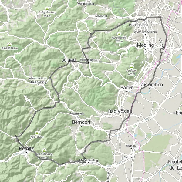
Užijte si silniční cyklotrasu ke Kogelu
Tato 99 km dlouhá cesta nabízí nádherné výhledy a možnost navštívit historické památky, jako je Ruine Starhemberg a Schloss Vöstenhof. Výzva pro zkušenější cyklisty.
Explore the scenic gravel route from Schweingartriegel to Etschenberg
This challenging gravel adventure offers a total ascent of 2234 meters over 69 kilometers. Highlights include the picturesque village of Grünbach am Schneeberg and the historic Ruine Gutenstein. Enjoy the rugged terrain and stunning views along this memorable cycling journey.
Cyklotrasy v okolí:

Okolní oblasti: