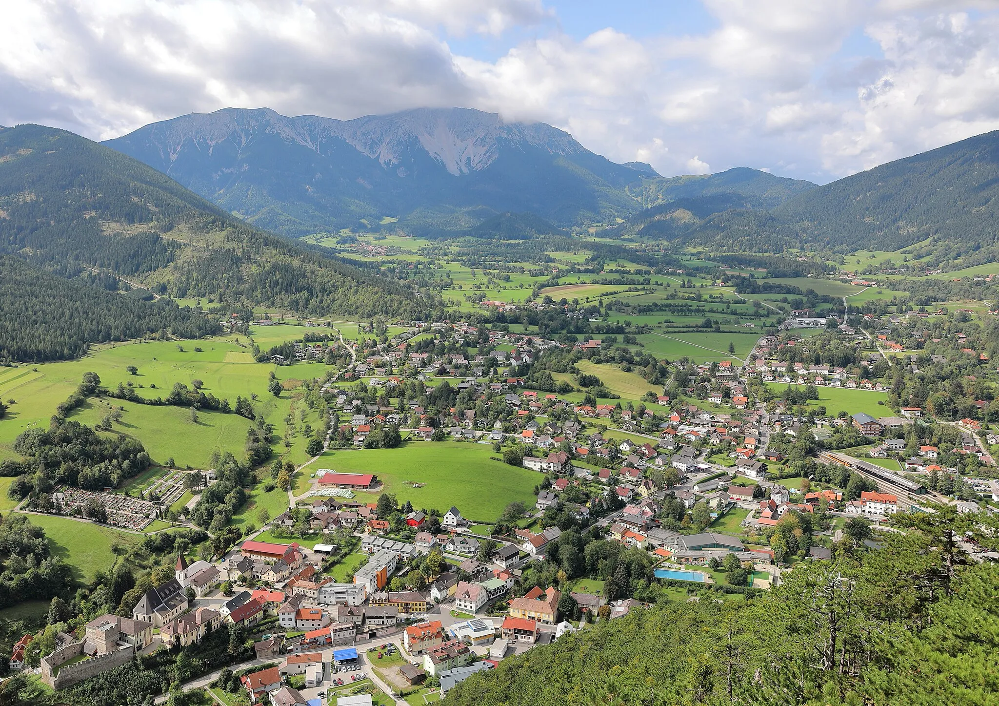
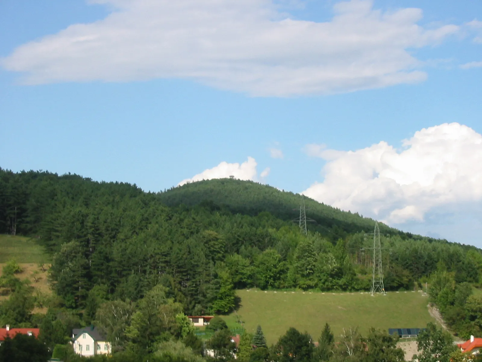
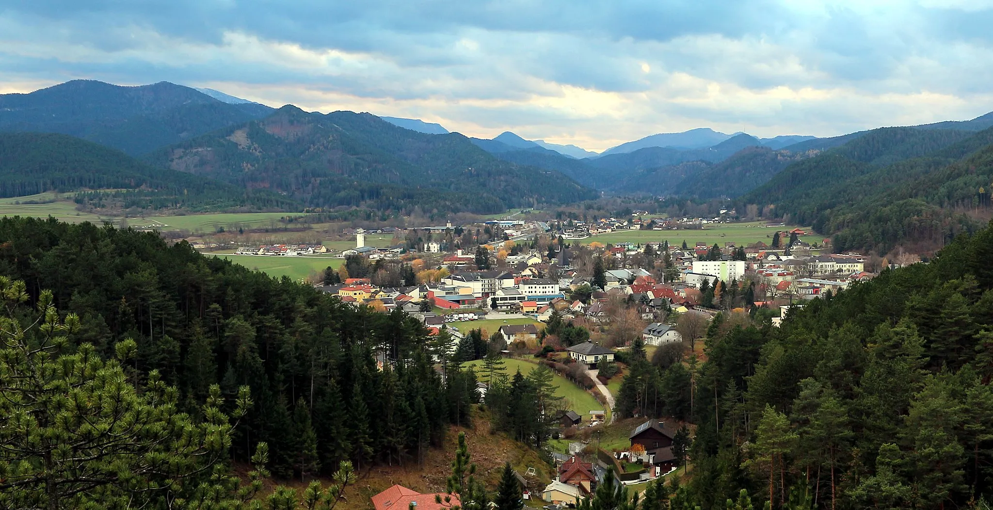
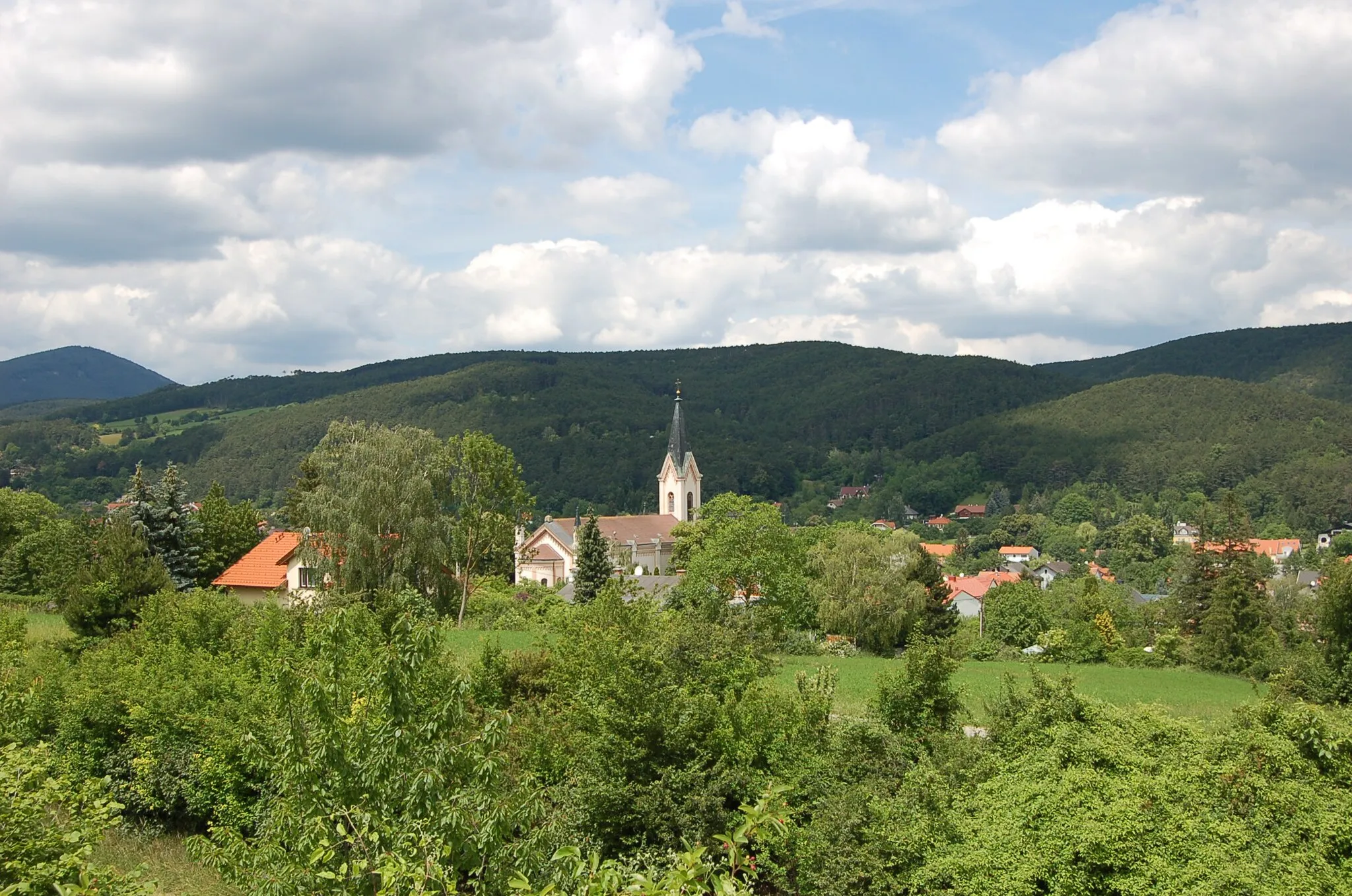
Krajina kolem pohoří Schneeberg
Cyklistické trasy kolem Puchberg am Schneeberg
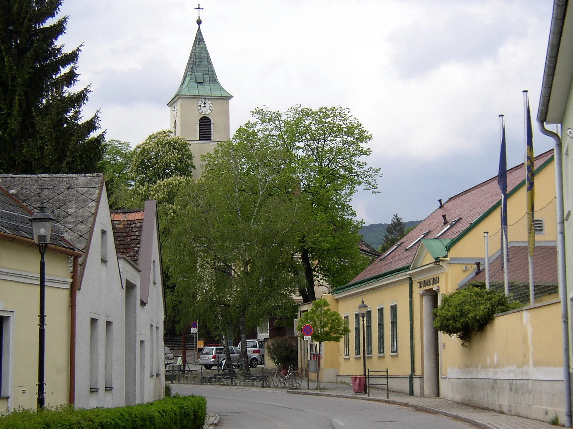
Puchberg am Schneeberg je malebné městečko v regionu Dolní Rakousko s úchvatnými cyklistickými trasami a možností poznat pohoří Schneeberg. Oblast je vhodná pro silniční cyklistiku i gravel biking.
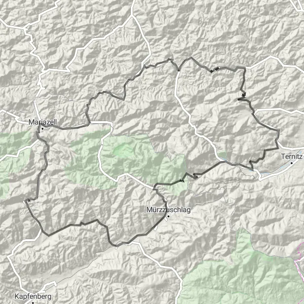
Náročný okruh s mnoha výzvami
Trasa má 4434 m stoupání na 211 km. Navštívíte hrad Stixenstein a Gösing a projedete krajinou kolem Prein an der Rax a Langenwang. Užijete si také výhled z Kohlbergu a navštívíte zříceninu Schloss Hoyos.
Výzva kolem Stixensteinu

Náročný okruh pro zkušené cyklisty
Trasa s 2587 m stoupání na 102 km vás zavede kolem hradu Stixenstein a Raachbergu. Projedete také Raach am Hochgebirge a Trattenbach a obdivujete krásu Hirschenkogelu.
Zážitek z jízdy na hranici Niederösterreich a Dolního Rakouska
Pro cestu na kole jednak vyžaduje sílu, ale taky odměnu. Při tomto 73 km dlouhém výletu můžete obdivovat malebnou krajinu, zahlédnout hrad Hoyos a vydat se na dobrodružství v divoké přírodě.
Hohenberg Challenge

Epic road cycling experience with historical attractions
The Hohenberg Challenge is a demanding 184 km road route with a total ascent of 3702 meters. Starting near Puchberg am Schneeberg, this route takes you on a journey through picturesque villages like Kohlberg and Loich. Highlights include the impressive Burgruine Hohenberg and the scenic Skywalk viewpoint. The route offers a mix of challenging climbs and rewarding descents, making it an unforgettable adventure for road cycling enthusiasts.
Kolejnice do hor

Výlet plný výškových metrů a historických památek
Nutné vybavení: silné nohy a ochota objevovat. 98 km trasa vás provede historickými městečky, kolem gotického hradu Rohrenstein až po živoucí přírodu kolem Geierwand.
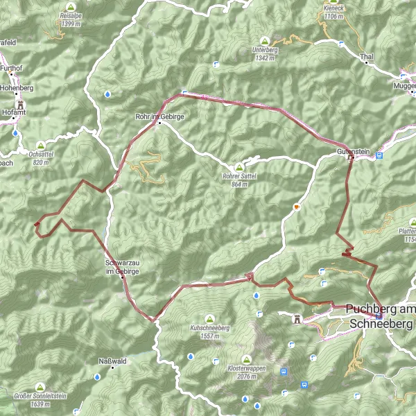
Würflach Gravel Ride

Exciting gravel cycling adventure through rural landscapes
The Würflach Gravel Ride is a 42 km route with 808 meters of ascent, starting near Puchberg am Schneeberg. This gravel route takes you through the serene countryside, passing through villages like Sonnleiten and Anzberg. Highlights include the Schafkogel peak and the historic Burgruine Rohrenstein. The route provides a mix of challenging terrain and scenic views, offering a memorable experience for gravel cycling enthusiasts.
Falkenstein Tour
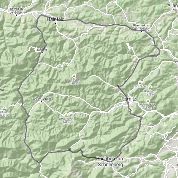
Unique road cycling adventure with stunning views
The Falkenstein Tour is a challenging 116 km road route starting near Puchberg am Schneeberg. It offers a total ascent of 2162 meters, passing through picturesque villages like Kohlberg and Hainfeld. The highlights of this route include the breathtaking Geierwand and the historic Pernitz. Overall, the route provides a mix of challenging climbs and scenic descents, making it a must-try for road cycling enthusiasts.
Zajímavá cyklotrasa s mnoha atraktivními místy
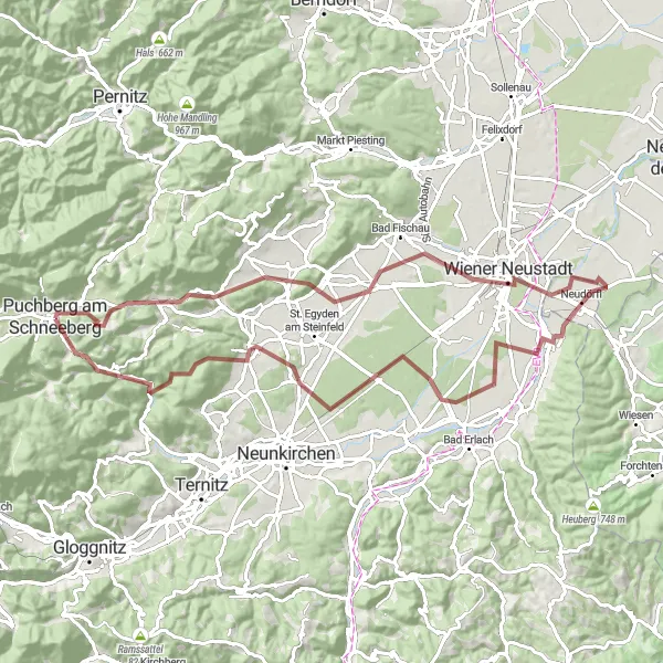
Tato trasa s délkou 83 km a převýšením 1115 m vás zavede kolem Puchbergu am Schneebergu a dále k zajímavým místům jako je Wiener Neustadt, Scheiben, či Burgruine Rohrenstein. Na cestě se můžete těšit na nádhernou krajinu a klidné cyklistické prostředí.

Scenic gravel adventure with natural highlights
The Naßwald Gravel Exploration is a 60 km route with a total ascent of 1999 meters starting near Puchberg am Schneeberg. This gravel route takes you through the picturesque landscapes of Naßwald and offers stunning views of the region. Highlights include the Losenheim lookout point and the Predigstuhl rock formation. The route provides a challenging yet rewarding experience for gravel cyclists looking to explore the natural beauty of the area.

Exciting gravel cycling expedition through the countryside
The Gösing gravel route is a 72 km scenic adventure with a total ascent of 1989 meters. Starting near Puchberg am Schneeberg, this route takes you through the charming village of Gösing and offers stunning views of the surrounding landscapes. Highlights include the Kernstockwarte lookout point and the peaceful village of Rohrbach im Graben. The route provides a perfect mix of challenging terrain and natural beauty, making it a great choice for gravel cycling enthusiasts.
Cyklotrasy v okolí:
Okolní oblasti: