Naßwald Gravel Exploration
Cyklistická trasa pro gravel začínající v Puchberg am Schneeberg
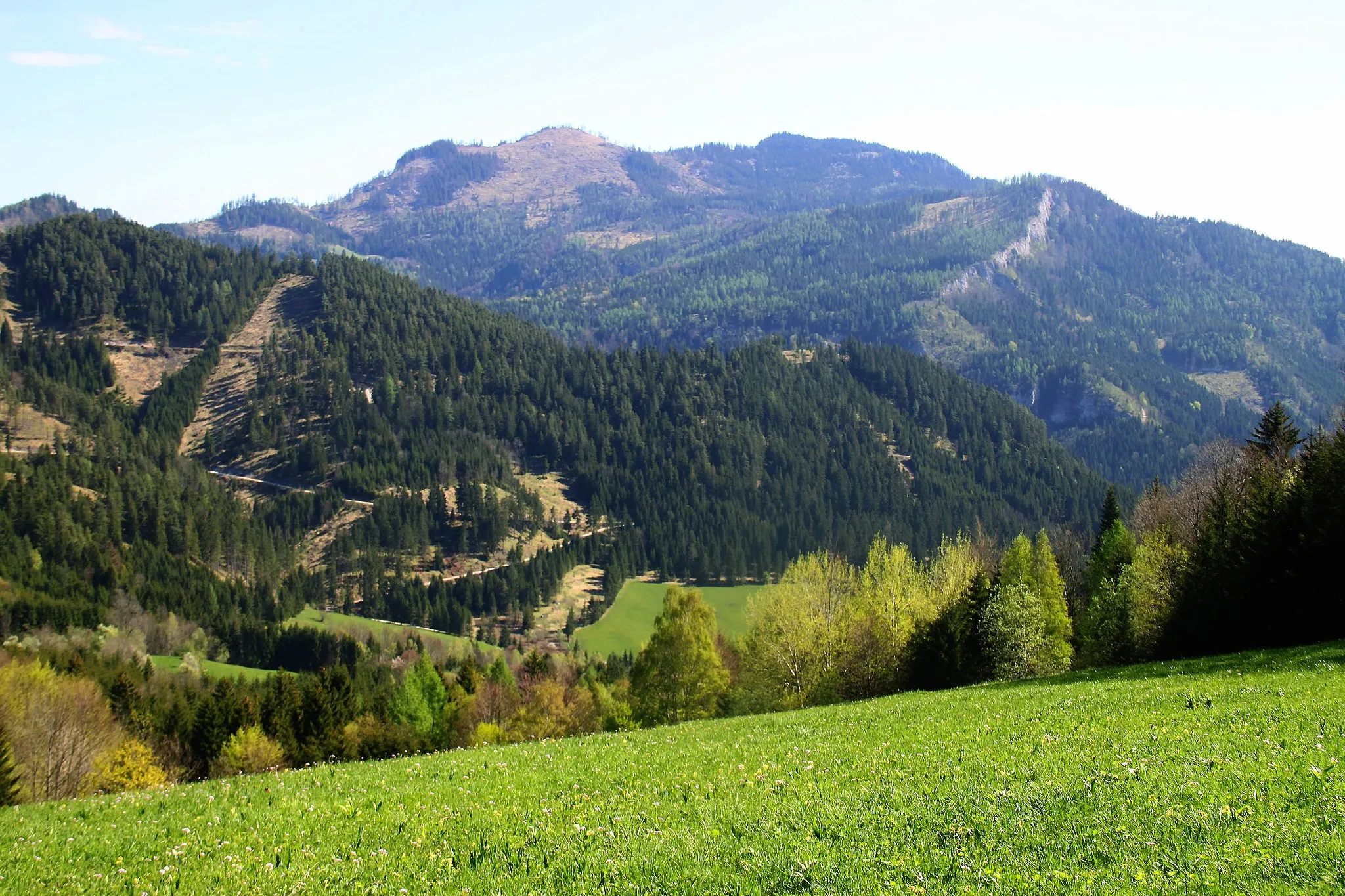
Scenic gravel adventure with natural highlights
Mapa

The Naßwald Gravel Exploration is a 60 km route with a total ascent of 1999 meters starting near Puchberg am Schneeberg. This gravel route takes you through the picturesque landscapes of Naßwald and offers stunning views of the region. Highlights include the Losenheim lookout point and the Predigstuhl rock formation. The route provides a challenging yet rewarding experience for gravel cyclists looking to explore the natural beauty of the area.
gravel
60 km
1999 m
Náročné
Profil trasy
Zajímavosti na trase
0 km
0 km
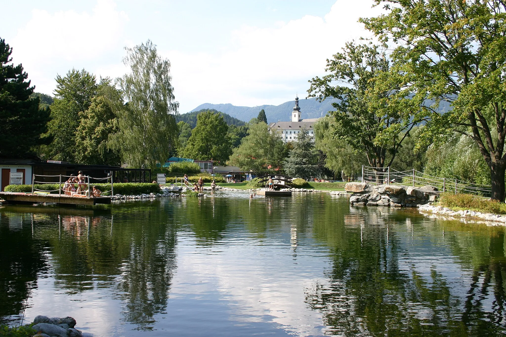
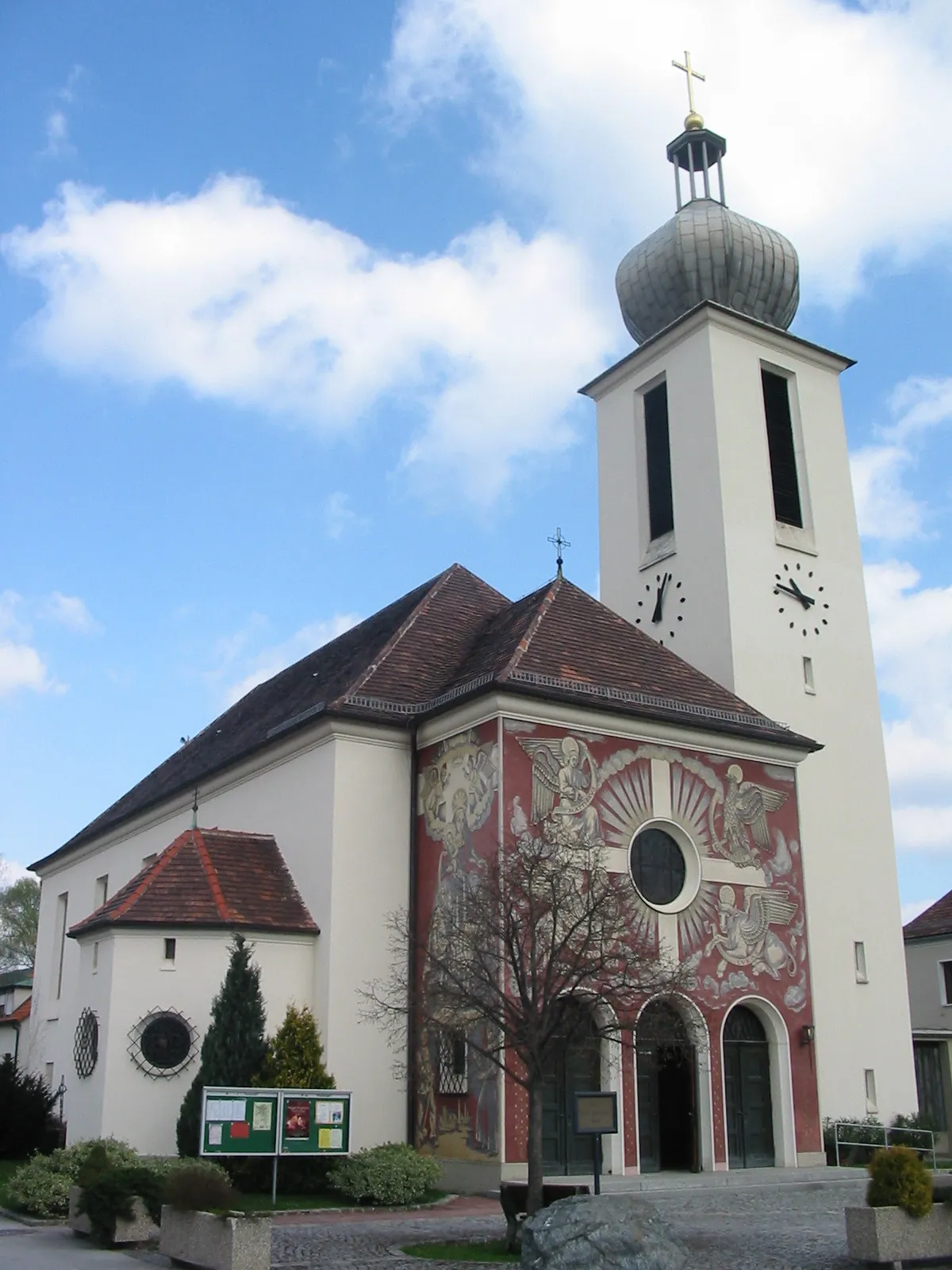
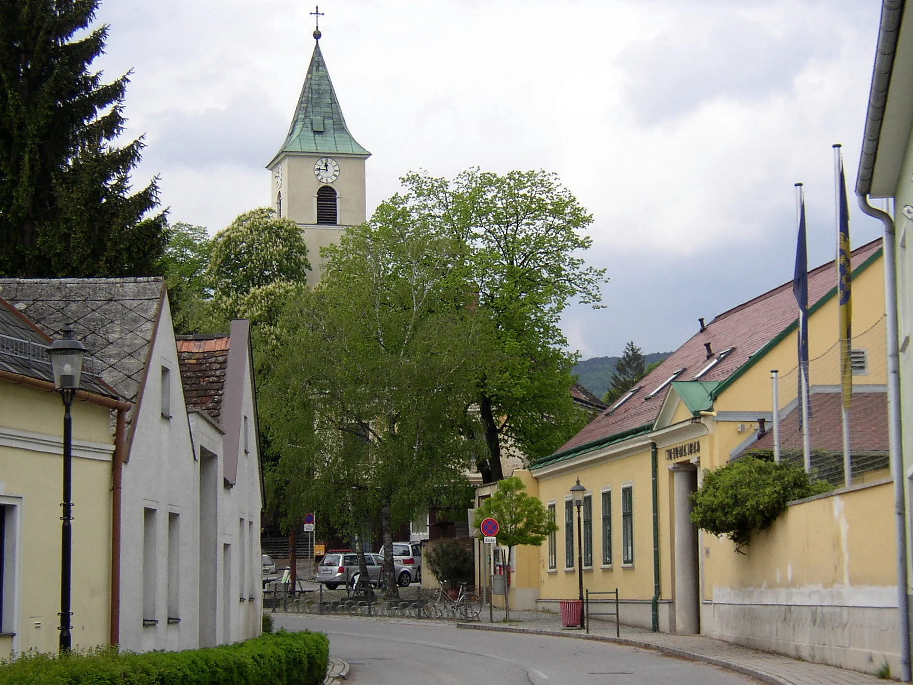
Start: Puchberg am Schneeberg City centerPuchberg am Schneeberg: Krajina kolem pohoří Schneeberg
Puchberg am Schneeberg je malebné městečko v regionu Dolní Rakousko s úchvatnými cyklistickými trasami a možností poznat pohoří Schneeberg. Oblast je vhodná pro silniční cyklistiku i gravel biking.8 km
8 km
Kohlberg1105 mVrcholStart your journey in the quaint village of Kohlberg and enjoy the peaceful atmosphere of the region.
17 km
17 km
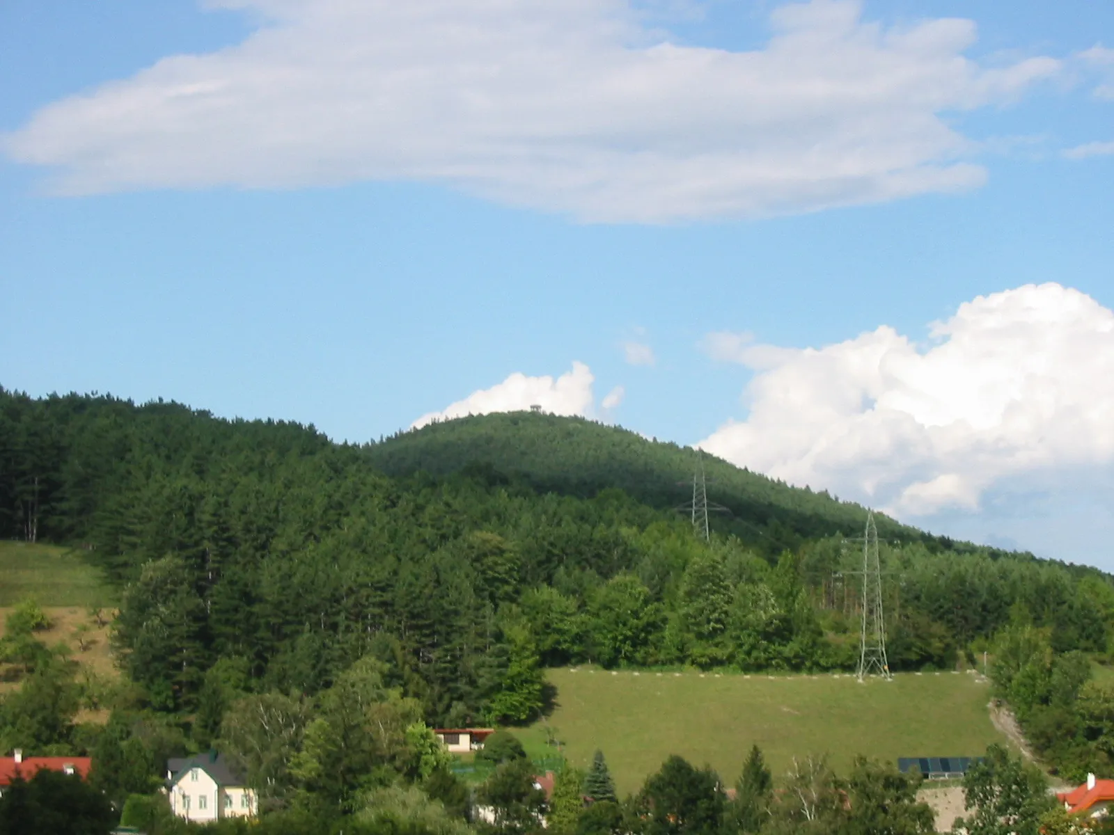
Scheibenkogel760 mVrcholClimb the steep slopes of Scheibenkogel and test your endurance on this challenging ascent.
24 km
24 km
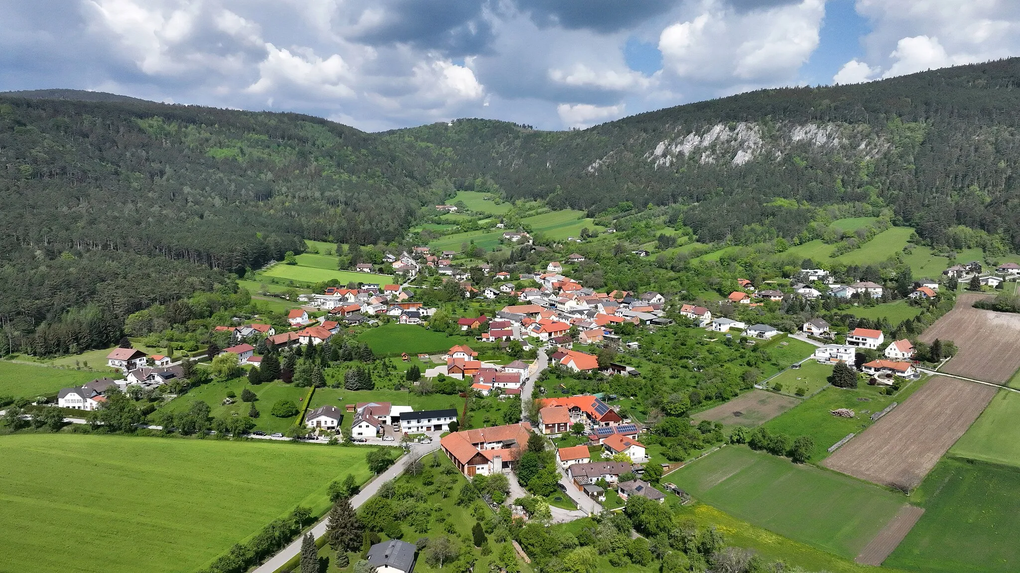
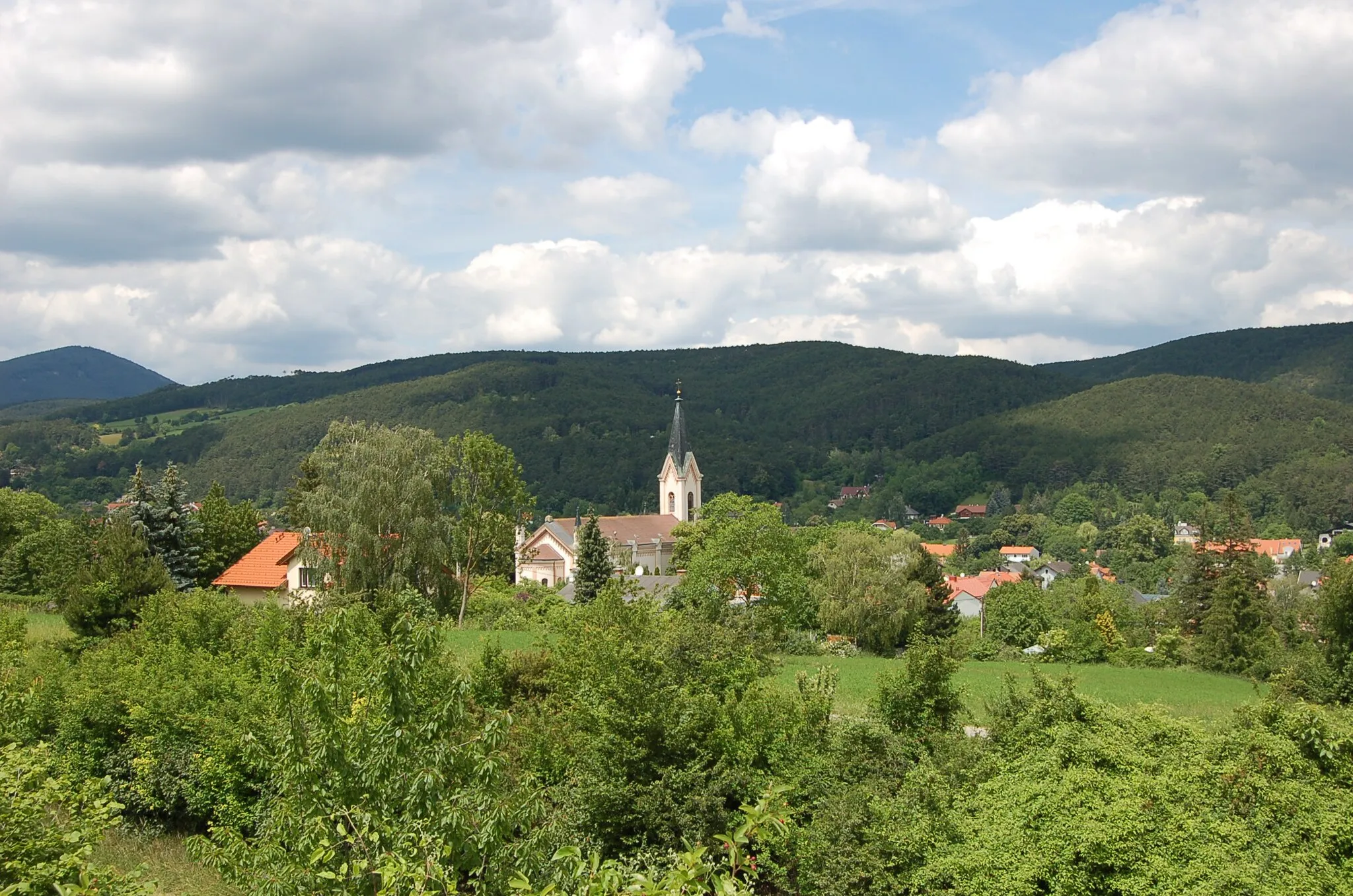
NaßwaldVesniceDiscover the natural beauty of Naßwald and explore its scenic landscapes along the route.
36 km
36 km
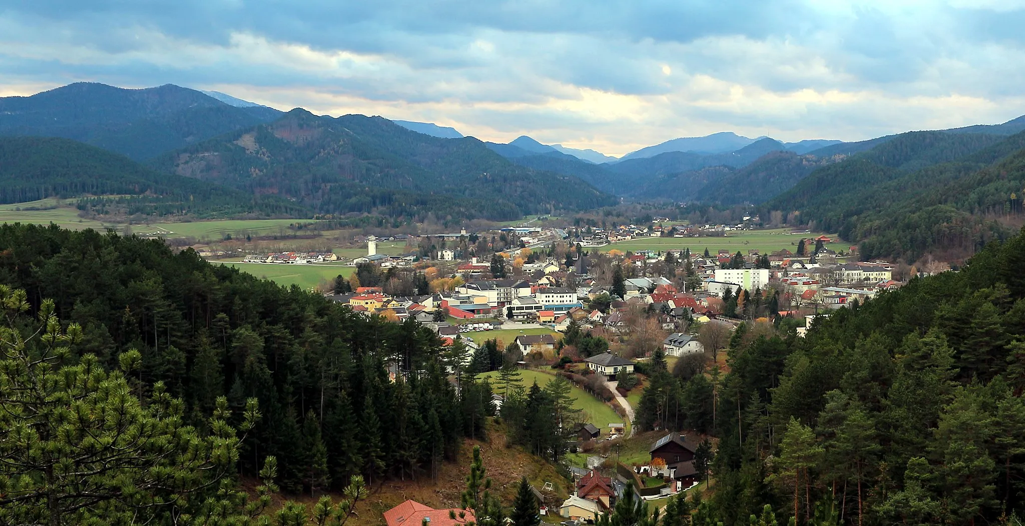
VoismautVesnicePass through the village of Voismaut and experience the traditional Austrian culture of the area.
54 km
54 km
LosenheimHradVisit the Losenheim lookout point and enjoy panoramic views of the surrounding landscapes.
54 km
54 km
Predigstuhl773 mVrcholMarvel at the unique rock formation of Predigstuhl as you cycle through the region.
60 km
60 km
Cíl: Puchberg am Schneeberg City centerPuchberg am Schneeberg: Krajina kolem pohoří Schneeberg
Cyklistické trasy z Puchberg am Schneeberg:
Cyklotrasy v okolí: