Steyregg - Luftenberg Extended Road Tour
Cyklistická trasa pro road začínající v Steyregg
Embark on an extended road tour with challenging climbs and rewarding descents
Mapa
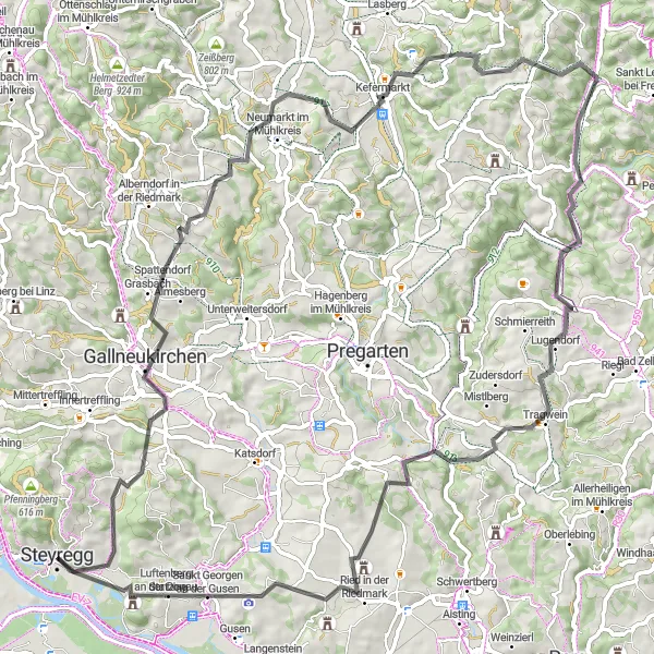
This extended road tour offers cyclists a challenging yet rewarding journey through picturesque landscapes and quaint villages. Highlights along the route include the historic town of Neumarkt im Mühlkreis and the scenic viewpoint at Tragwein. With stunning views and challenging ascents, this route is ideal for experienced riders seeking a memorable cycling adventure.
road
87 km
1658 m
Náročné
Profil trasy
Zajímavosti na trase
0 km
0 km
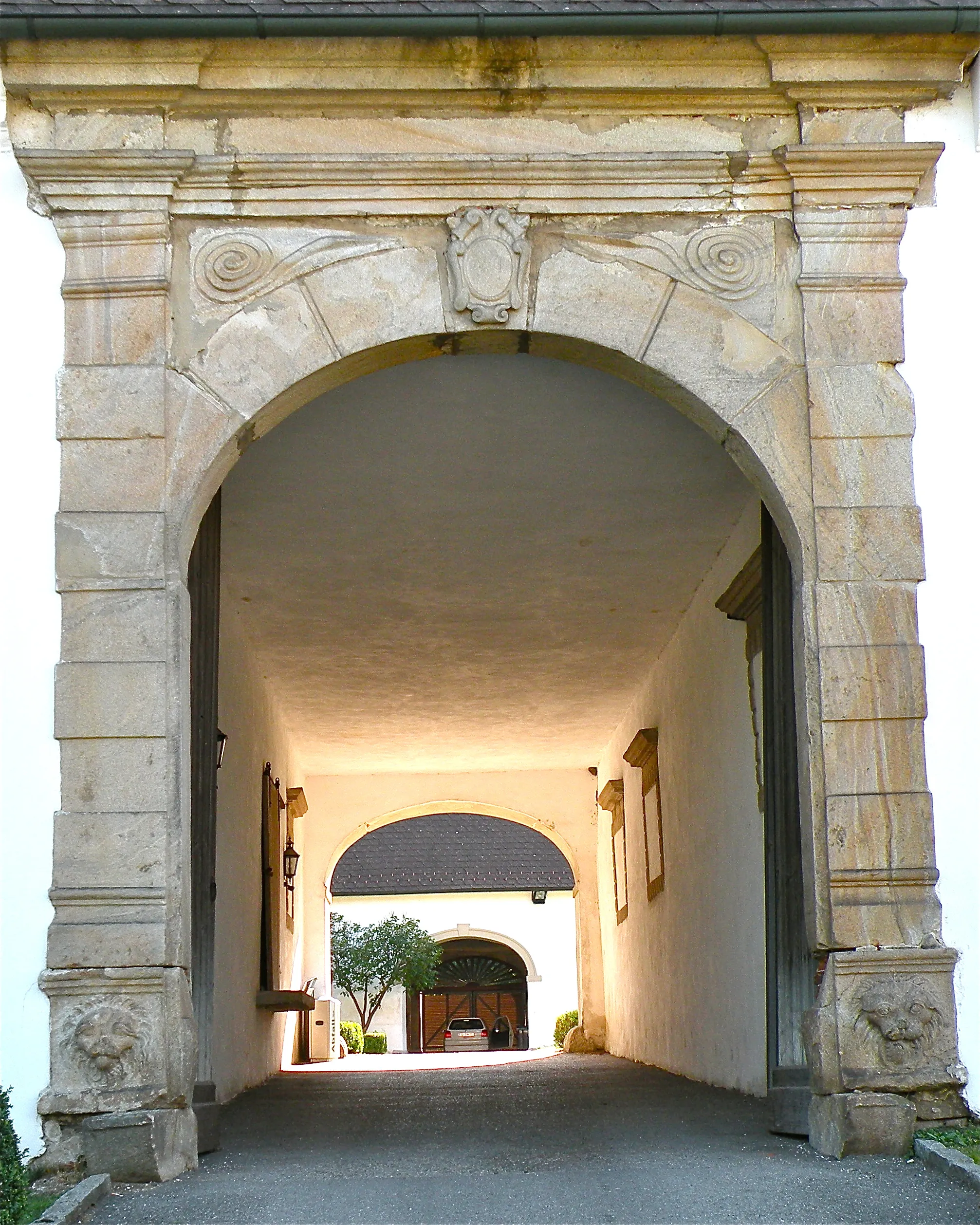
Start: Steyregg City centerSteyregg: Cyklistika podél řeky v historickém městě
Steyregg v Oberösterreichu je malebné město ležící u řeky a poskytuje skvělé možnosti cyklistiky podél vody. Místní cyklostezky jsou dobře udržované a vhodné pro rodinné výlety.0 km
0 km
SteyreggMěstoSteyregg marks the starting point for this extended road tour, providing a peaceful setting to begin the ride.
13 km
13 km
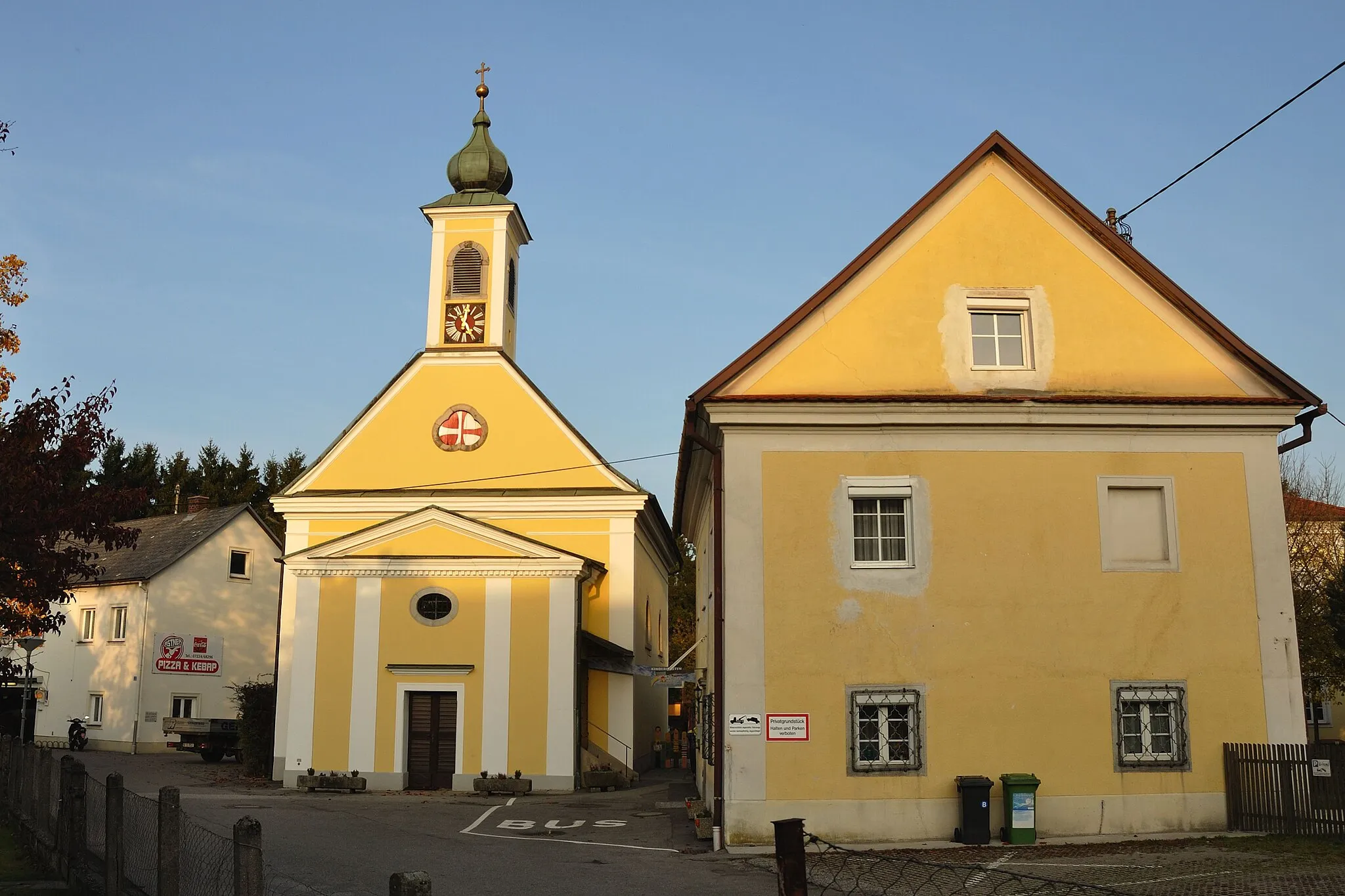
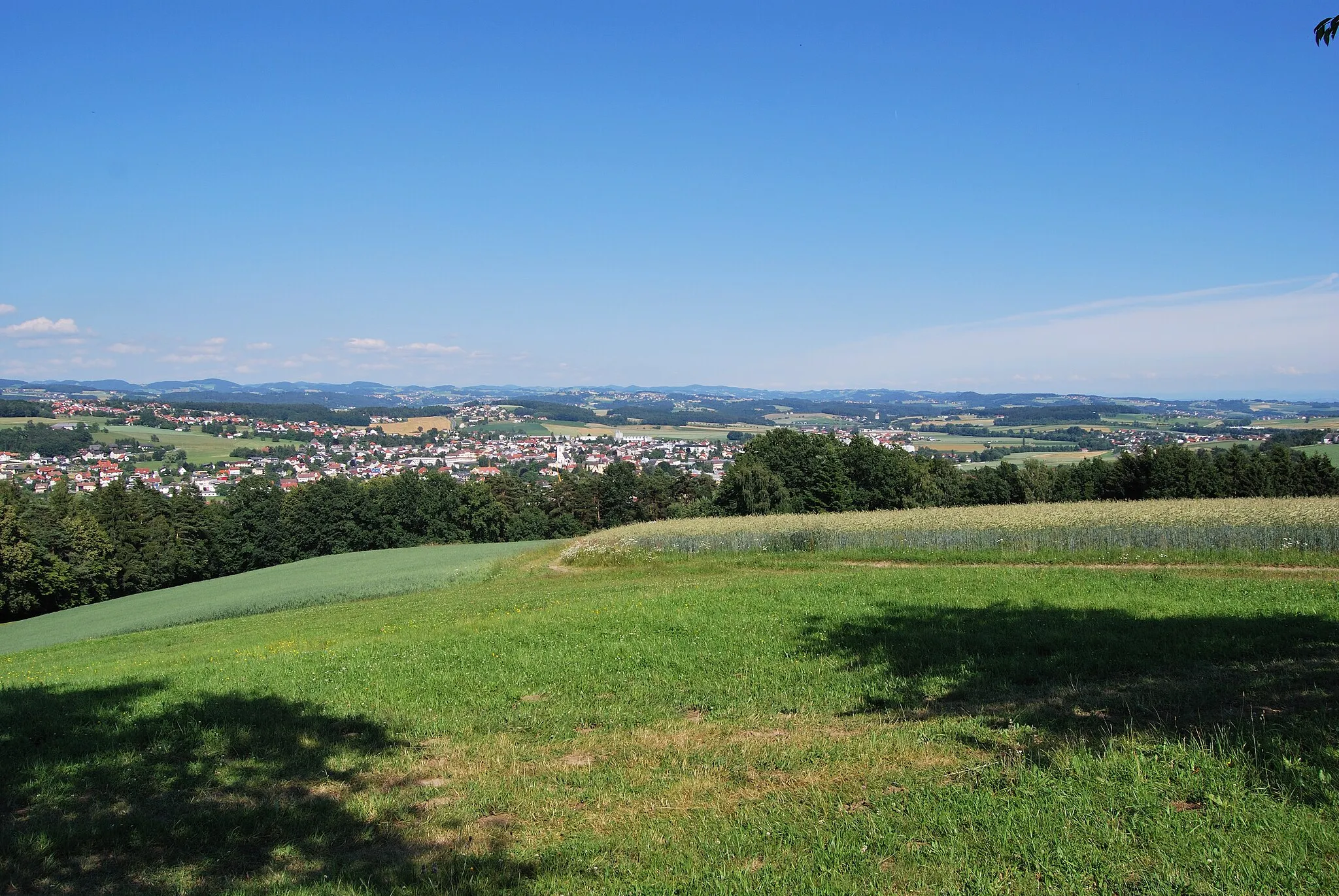
GallneukirchenMěstoGallneukirchen features charming streets and historic architecture, inviting cyclists to explore its cultural heritage during the journey.
26 km
26 km
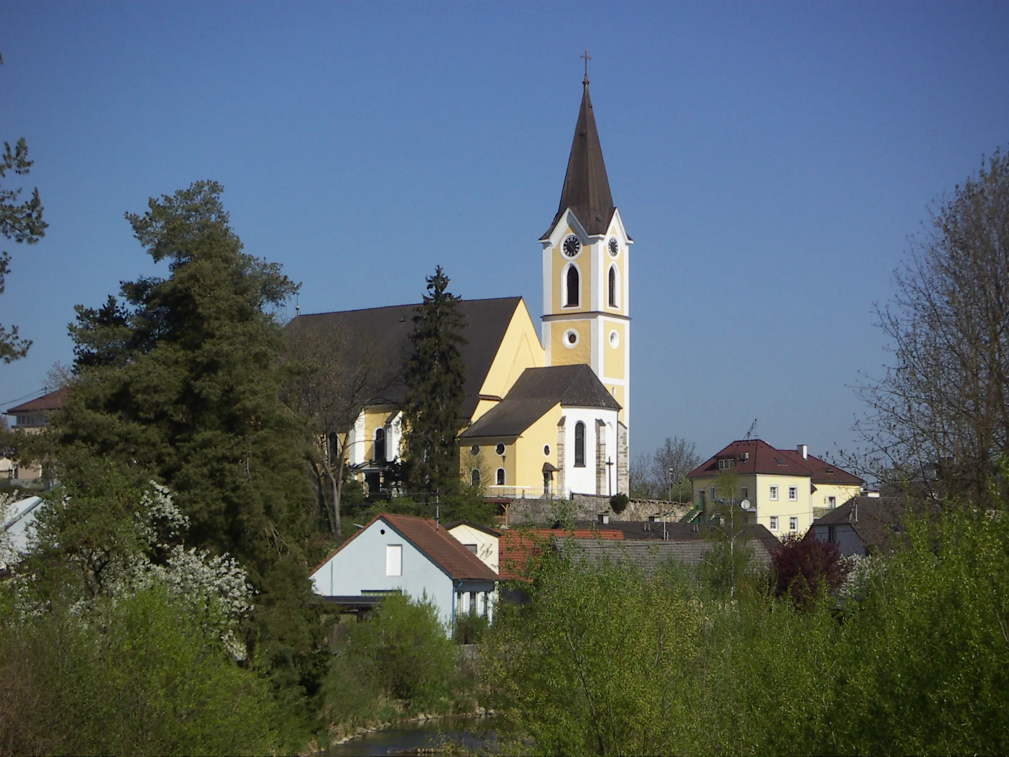
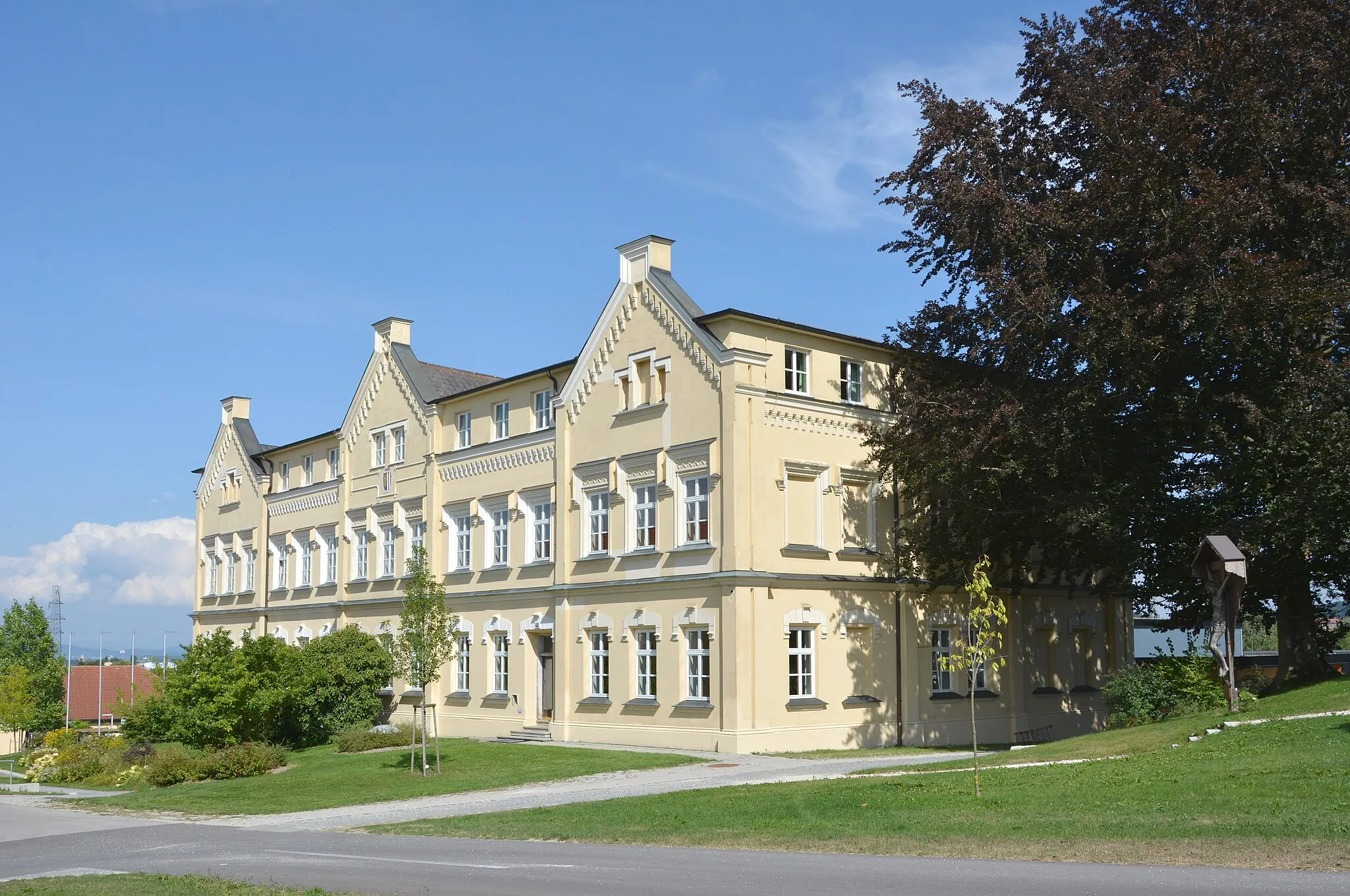
Neumarkt im MühlkreisVesniceNeumarkt im Mühlkreis offers stunning views and a rich history, making it a must-visit stop along the route.
36 km
36 km
Buchberg813 mVrcholBuchberg provides challenging climbs and diverse landscapes, rewarding cyclists with a thrilling ride through rugged terrain.
44 km
44 km
Herzogreither Berg811 mVrcholHerzogreither Berg offers panoramic views of the surrounding landscapes, inviting cyclists to take a moment to appreciate the beauty of the region.
60 km
60 km
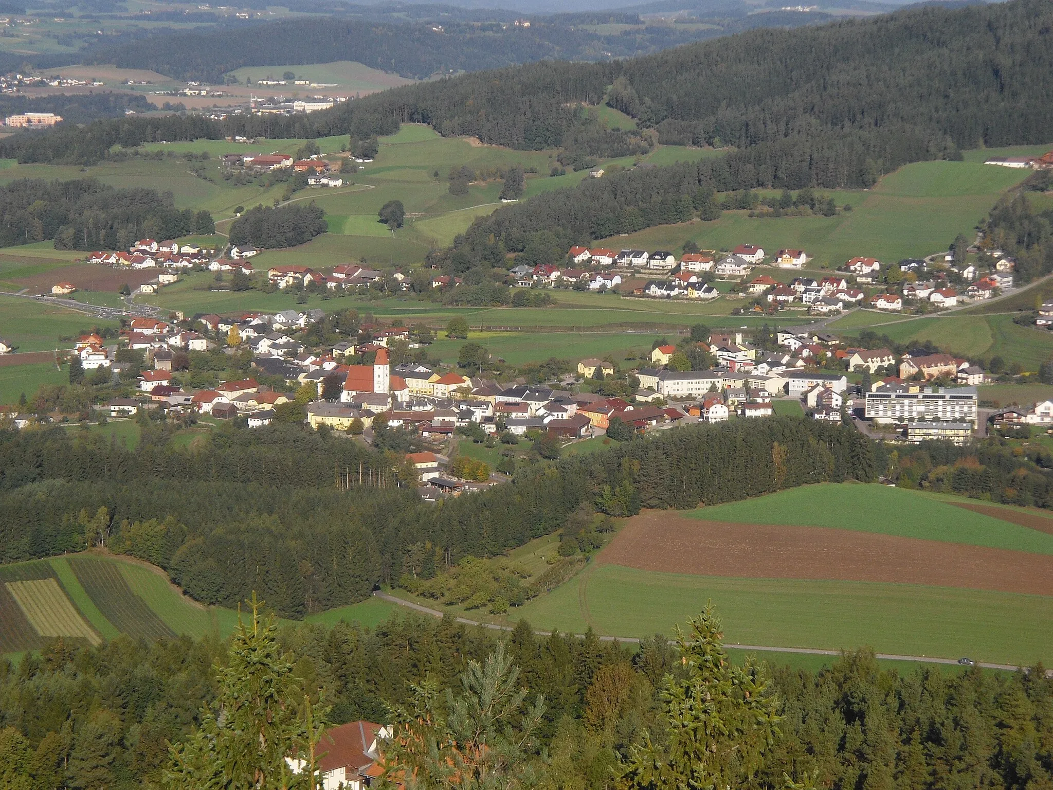
TragweinVesniceTragwein's scenic viewpoint and peaceful ambiance make it a perfect spot to rest and recharge during the journey.
73 km
73 km
Ried in der RiedmarkVesniceRied in der Riedmark boasts historic architecture and cultural attractions, providing cyclists with a glimpse into the town's rich heritage.
83 km
83 km
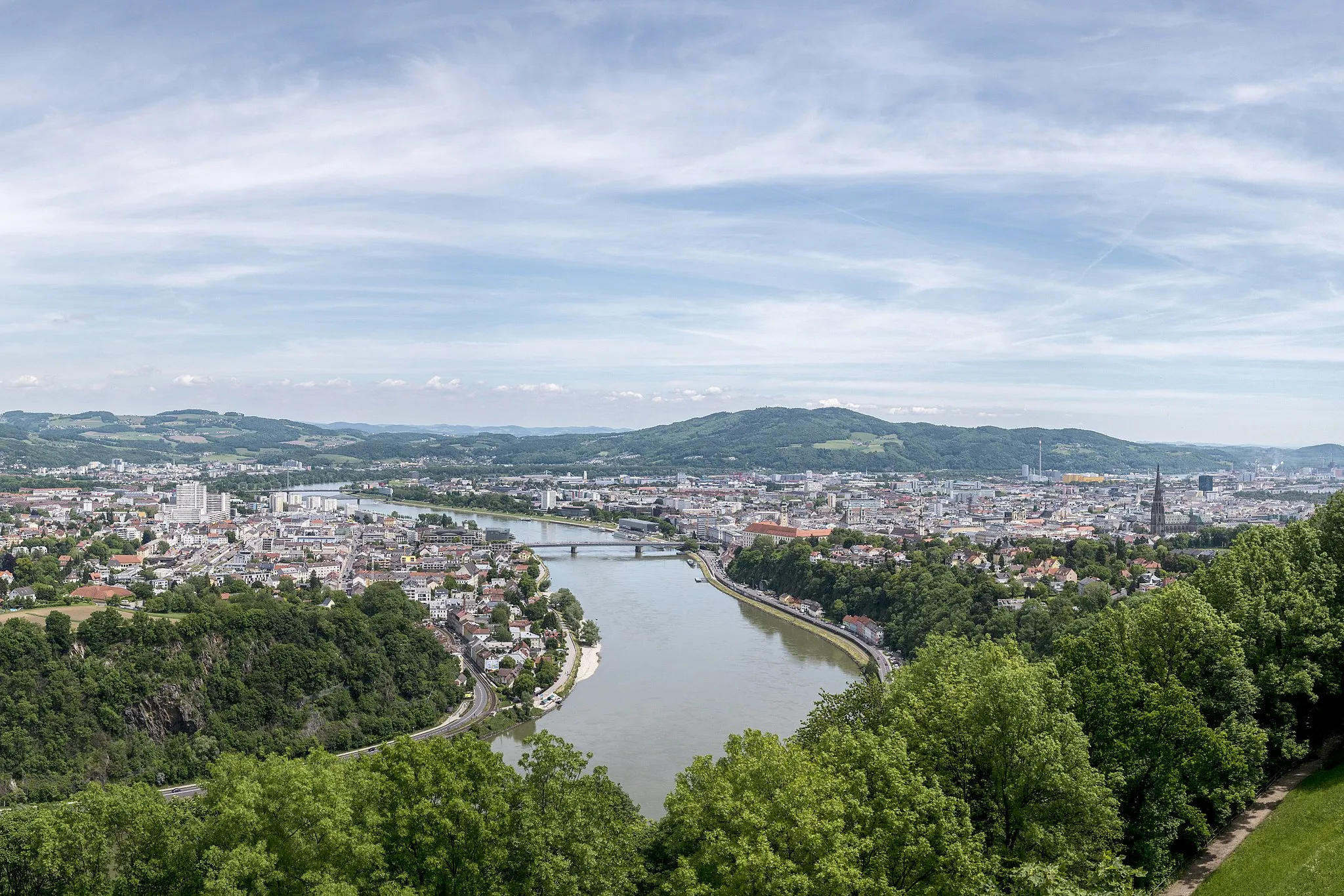
Luftenberg400 mHradLuftenberg offers stunning river views and picturesque scenery, making it a memorable stop at the end of the extended road tour.
87 km
87 km
Cíl: Steyregg City centerSteyregg: Cyklistika podél řeky v historickém městě
Cyklistické trasy z Steyregg:
Steyregg - Luftenberg Road Loop 71km silniční cyklistická trasa kolem Steyreggu 113km silniční cyklistická trasa kolem Steyreggu Steyregg - Luftenberg Gravel Adventure Cyklistická trasa kolem Steyreggu Epic Cycling Tour: Linz to Steyregg and Back 106km gravelová trasa okolo Steyreggu Steyregg - Luftenberg Extended Road Tour Ansfelden - Windegg Scenic Road Ride Gravel cyklistická trasa kolem Steyreggu Okružní cyklistická trasa z blízkosti Steyreggu Okružní cyklistická trasa z blízkosti Steyreggu
Cyklotrasy v okolí: