Bavory Hill Challenge
Cyklistická trasa pro road začínající v Kobyli
Road cycling route with rewarding climbs
Mapa
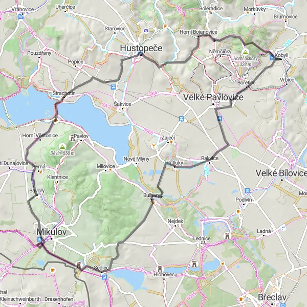
Take on the challenge of this road cycling route near Kobylí, covering 522m of ascent over 74km. Discover highlights like Rozhledna Slunečná and the scenic Přítlucká hora. Cycle through Bulhary and Strachotín, enjoying the rewarding climb to Tabulka for stunning views of the countryside.
road
74 km
522 m
Náročné
Profil trasy
Zajímavosti na trase
0 km
0 km
Start: Kobylí Village centerKobylí: Klidná venkovská krajina pro cyklovýlet.
Kobylí leží nedaleko Lednice a je ideálním místem pro cyklisty, kteří si rádi užívají klid a ticho venkovské krajiny. Okolí nabízí hezké cyklostezky podél vinic a polí.0 km
0 km
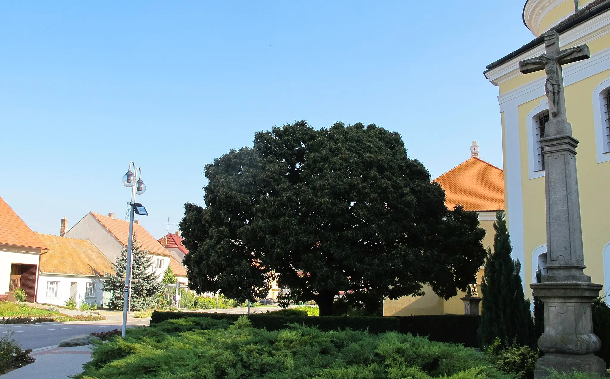
KobylíVesniceBegin your adventure in Kobylí, setting off on a road cycling journey full of surprises.
5 km
5 km
Rozhledna SlunečnáVýhledAscend to the top of Rozhledna Slunečná for breathtaking views of the Moravian landscape.
16 km
16 km
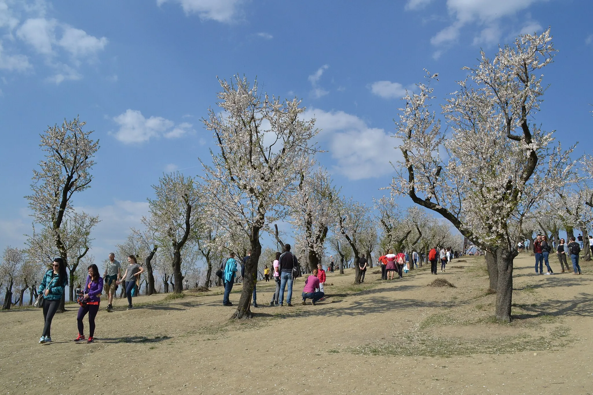
Přítlucká hora293 mVrcholPřítlucká hora offers a challenging climb and rewarding views at the top, a must-visit highlight.
20 km
20 km
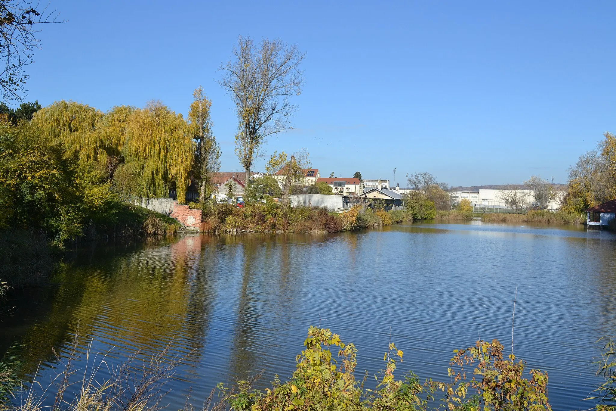
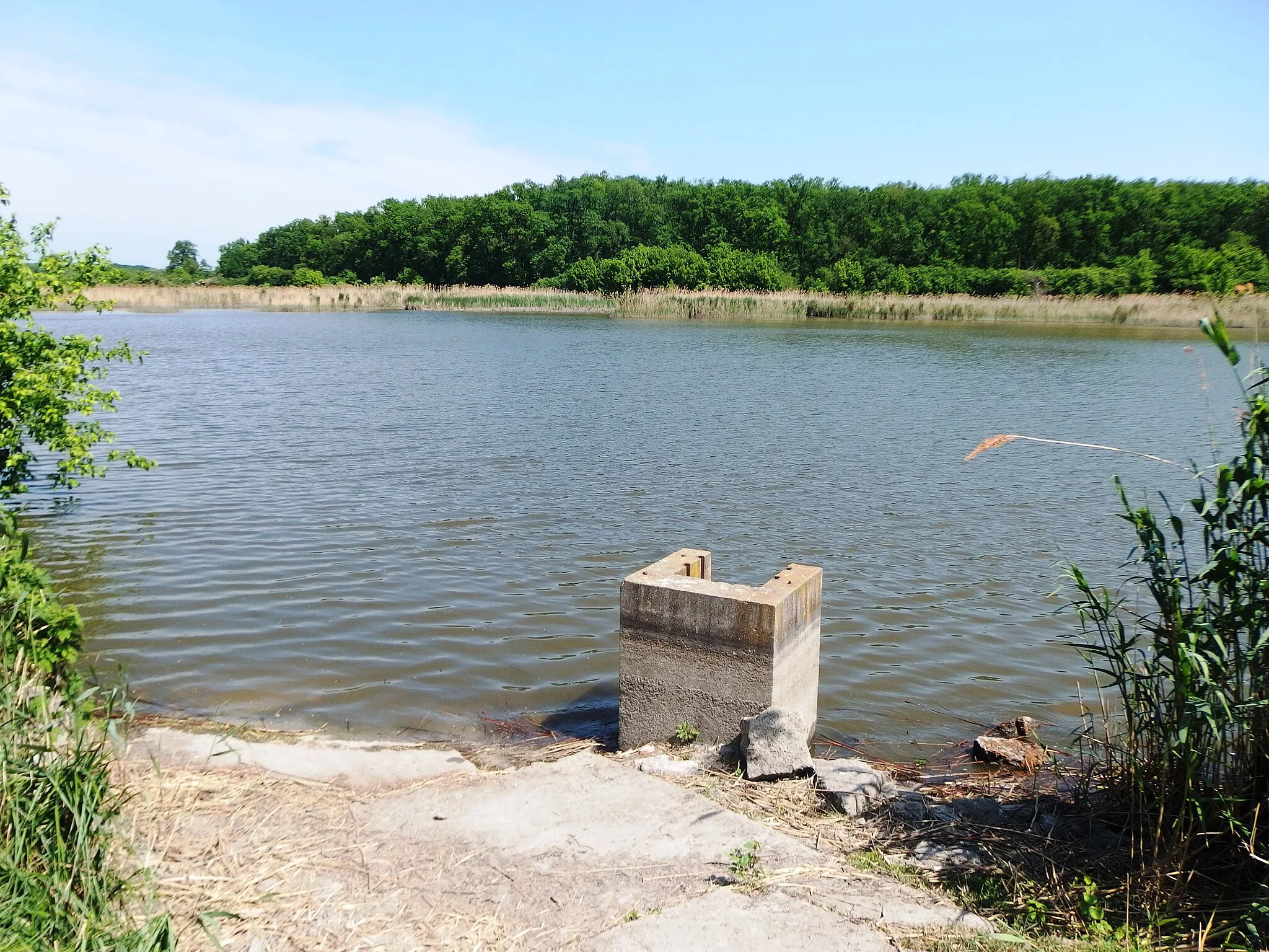
BulharyVesniceBulhary village is a picturesque stop along the route, perfect for a cycling break.
40 km
40 km
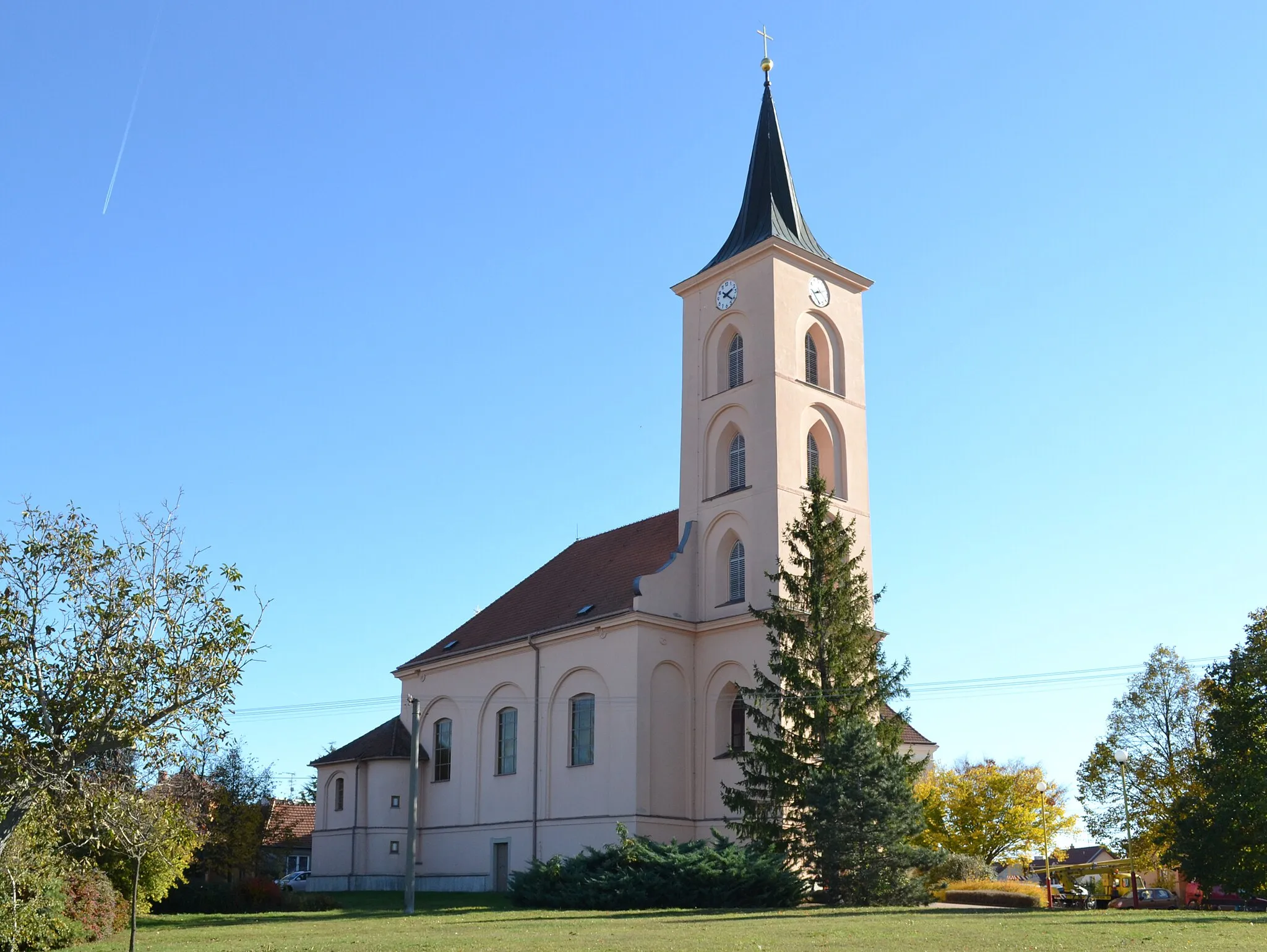
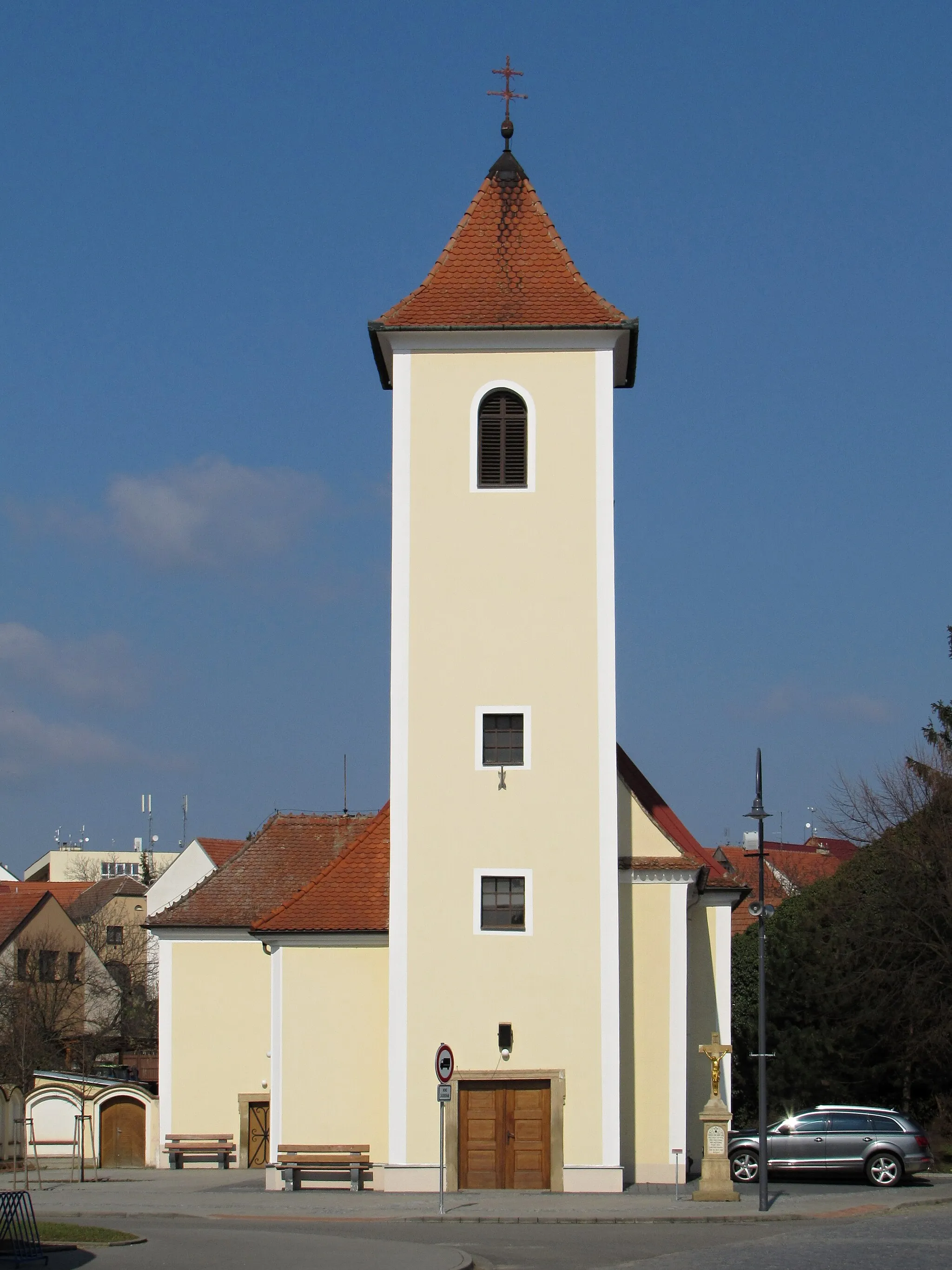
BavoryVesniceClimb to the top of Bavory for stunning panoramic views of the surrounding countryside.
51 km
51 km
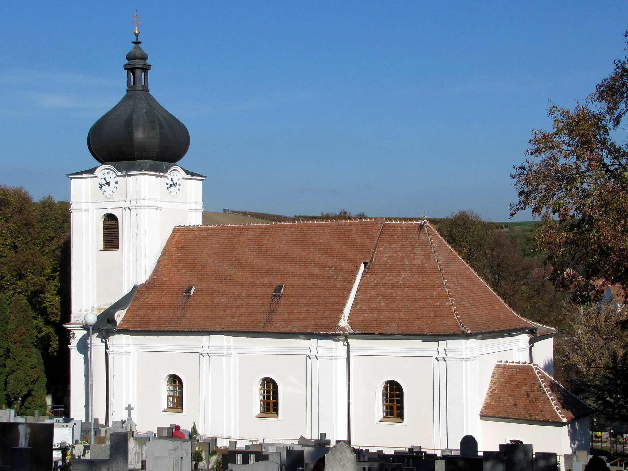
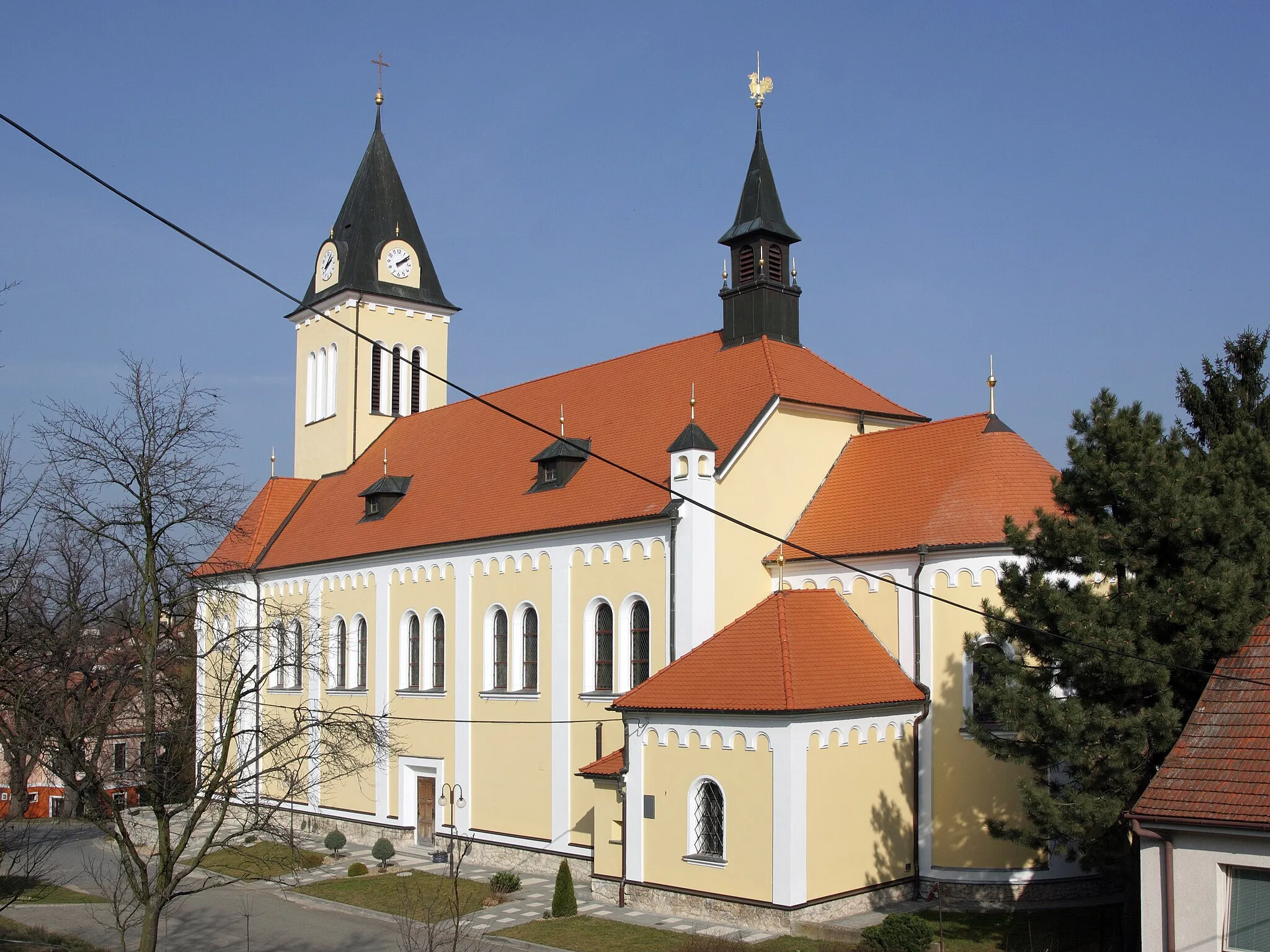
StrachotínVesniceStrachotín is a hidden gem along the route with its traditional architecture and welcoming atmosphere.
64 km
64 km
Tabulka298 mVrcholTabulka hill is the final challenge of your journey, rewarding you with breathtaking views at the peak.
74 km
74 km
Cíl: Kobylí Village centerKobylí: Klidná venkovská krajina pro cyklovýlet.
Cyklotrasy v okolí: