Road Cycling Adventure near Hranice
Cyklistická trasa pro road začínající v Hranice
Embark on a road cycling journey through the charming countryside near Hranice.
Mapa

This 77 km route offers a mix of smooth roads and challenging ascents. Highlights include the quaint village of Planina and the picturesque scenery of Wildenau. Explore the historic site of Stollen and enjoy the natural beauty along the route.
road
77 km
997 m
Náročné
Profil trasy
Zajímavosti na trase
0 km
0 km
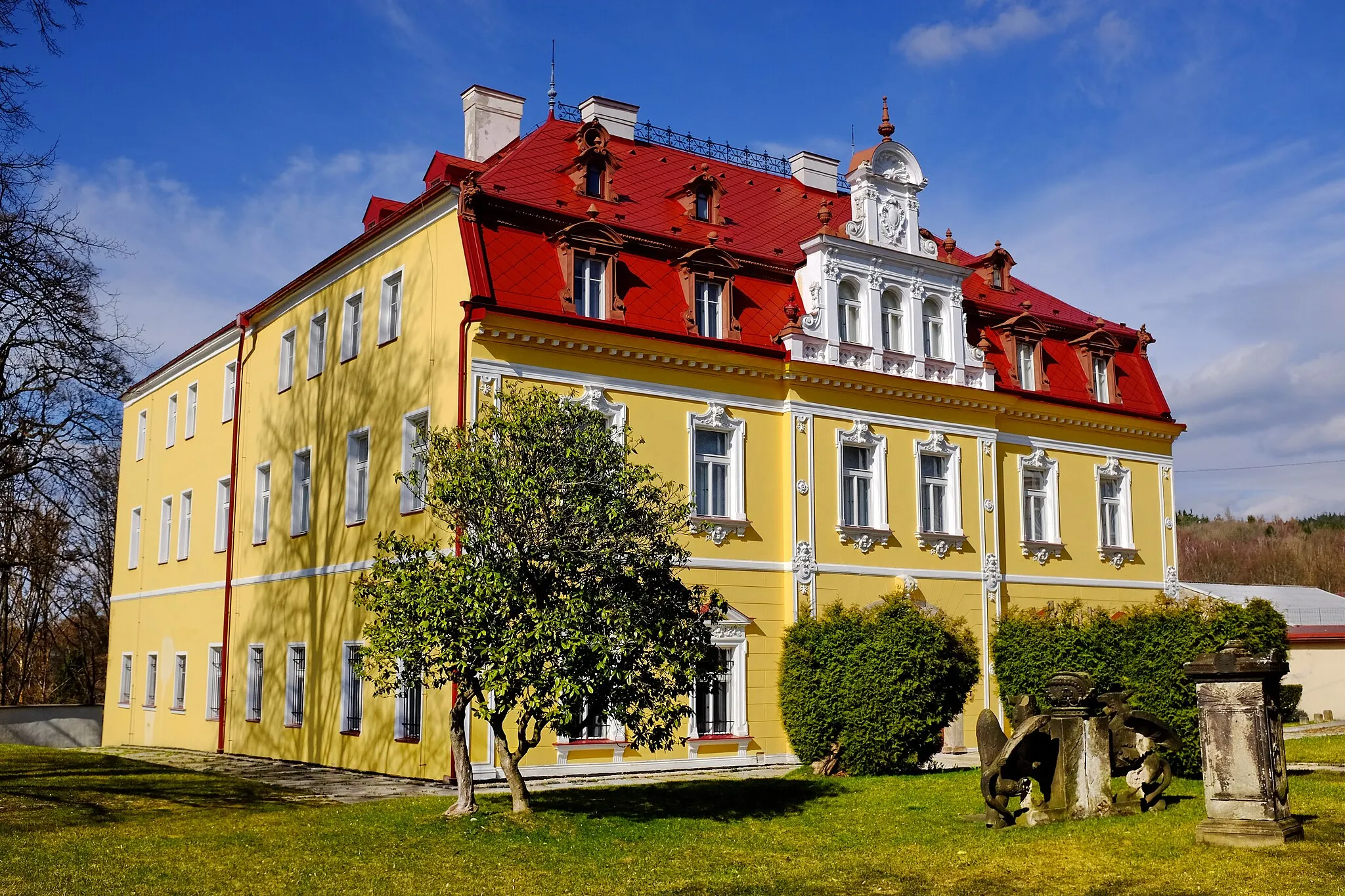
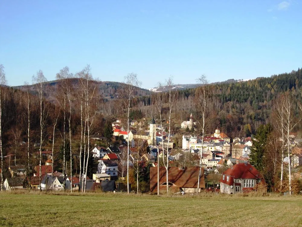
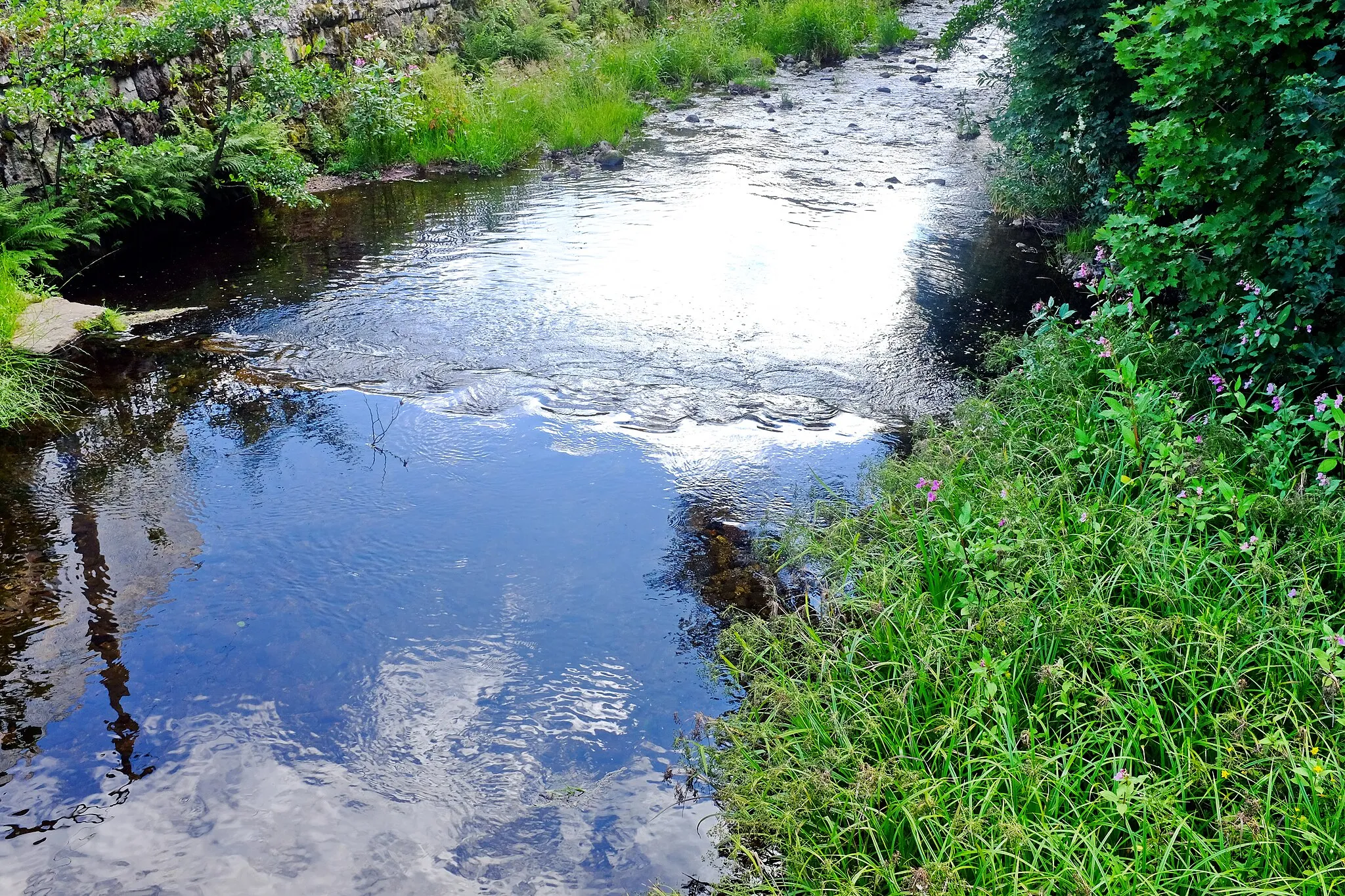
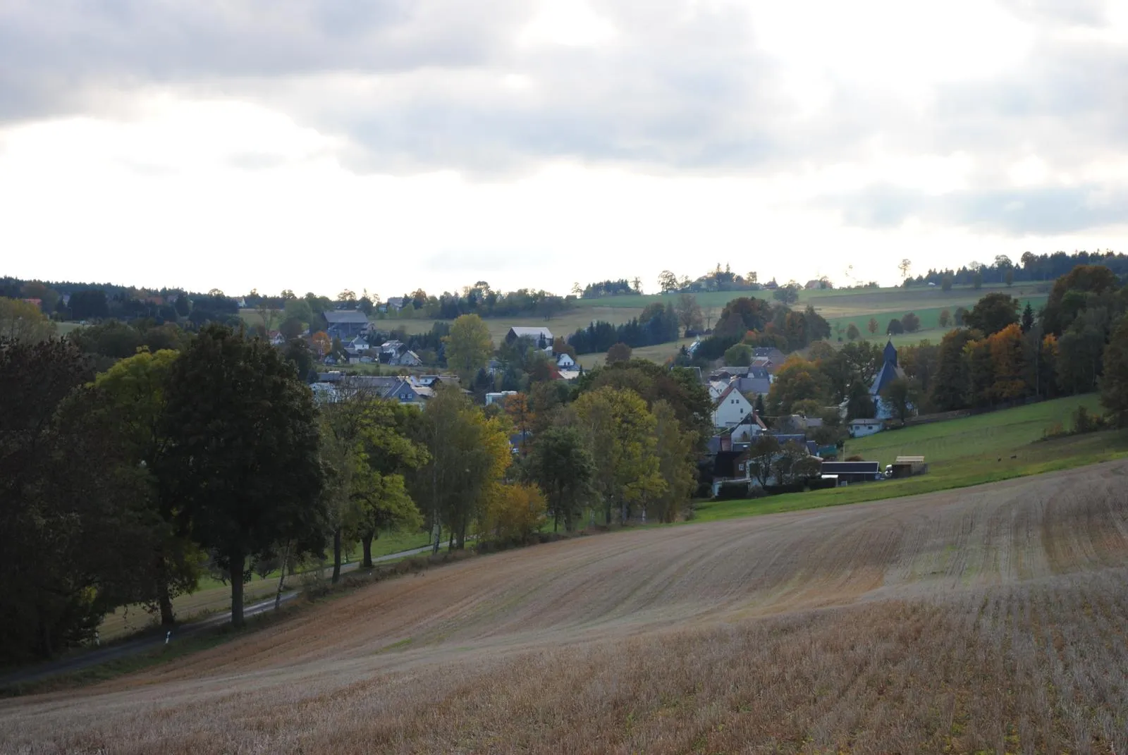
Start: Gettengrün Village centerHranice: Přátelská atmosféra a venkovské cesty.
Hranice jsou malá obec s příjemnou atmosférou a venkovským prostředím. Pro cyklisty nabízí klidné cesty kolem polí a potoků. Okolí není nijak náročné, ale je ideální pro odpočinkové výlety na kole.2 km
2 km
Planina638 mVrcholDiscover the charming village of Planina.
17 km
17 km
WildenauVesniceEnjoy the scenic beauty of Wildenau.
29 km
29 km
Mühlberg568 mVrcholExplore the historic site of Mühlberg.
40 km
40 km
Wellersberg635 mVrcholDiscover the natural beauty of Wellersberg.
50 km
50 km
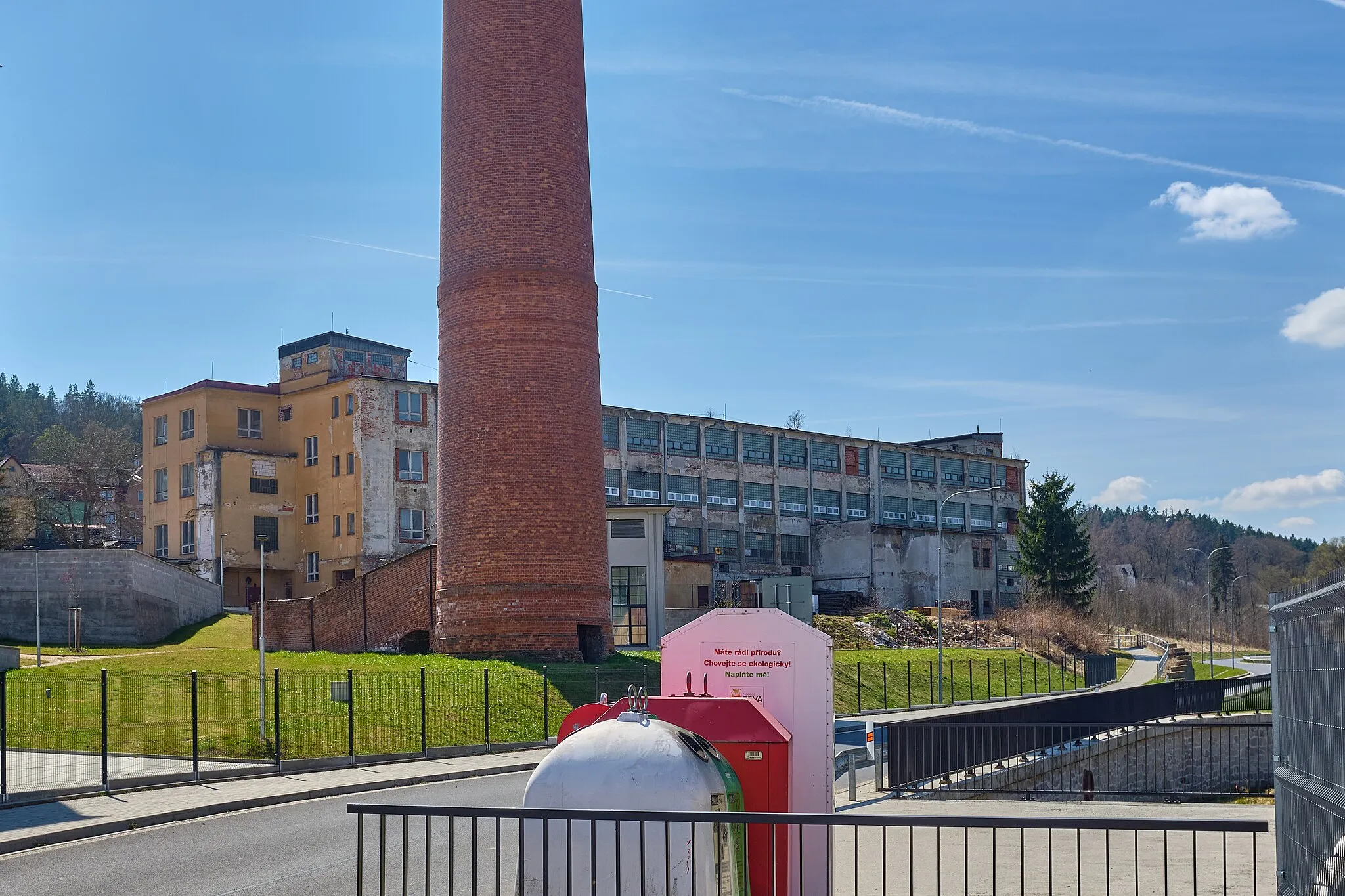
StollenVesniceExperience the serene surroundings of Stollen.
71 km
71 km
TiefenbrunnVesniceMarvel at the beauty of Tiefenbrunn.
77 km
77 km
Cíl: Gettengrün Village centerHranice: Přátelská atmosféra a venkovské cesty.
Cyklistické trasy z Hranice:
Cycling Excursion in the Countryside Road Cycling Adventure near Hranice Gravel Adventure in the Czech Countryside Gravel Tour around Hranice Road Cyklomaraton přes Stollen Kulturní cesta kolem Hranic České a německé stezky kolem Hranic Okruh kolem Hranic Scenic Road Cycling Route near Hranice Horský výlet kolem Hranic
Cyklotrasy v okolí: