Gravel Tour of Surrounding Areas
Cyklistická trasa pro gravel začínající v Blagnac
Náročná trasa pro gravel kolem Blagnac s výstupem 244 m a vzdáleností 68 km
Mapa
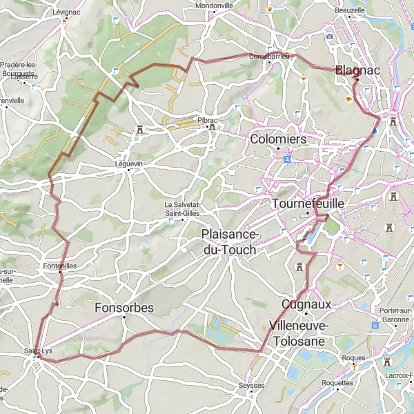
Tato trasa vás zavede k Table d'orientation pro panoramatický výhled, přes Tournefeuille, Cugnaux, Saint-Lys a Fontenilles. Objevíte malebné vesnice a překrásnou krajinu na cestě.
gravel
68 km
244 m
Chill
Profil trasy
Zajímavosti na trase
0 km
0 km
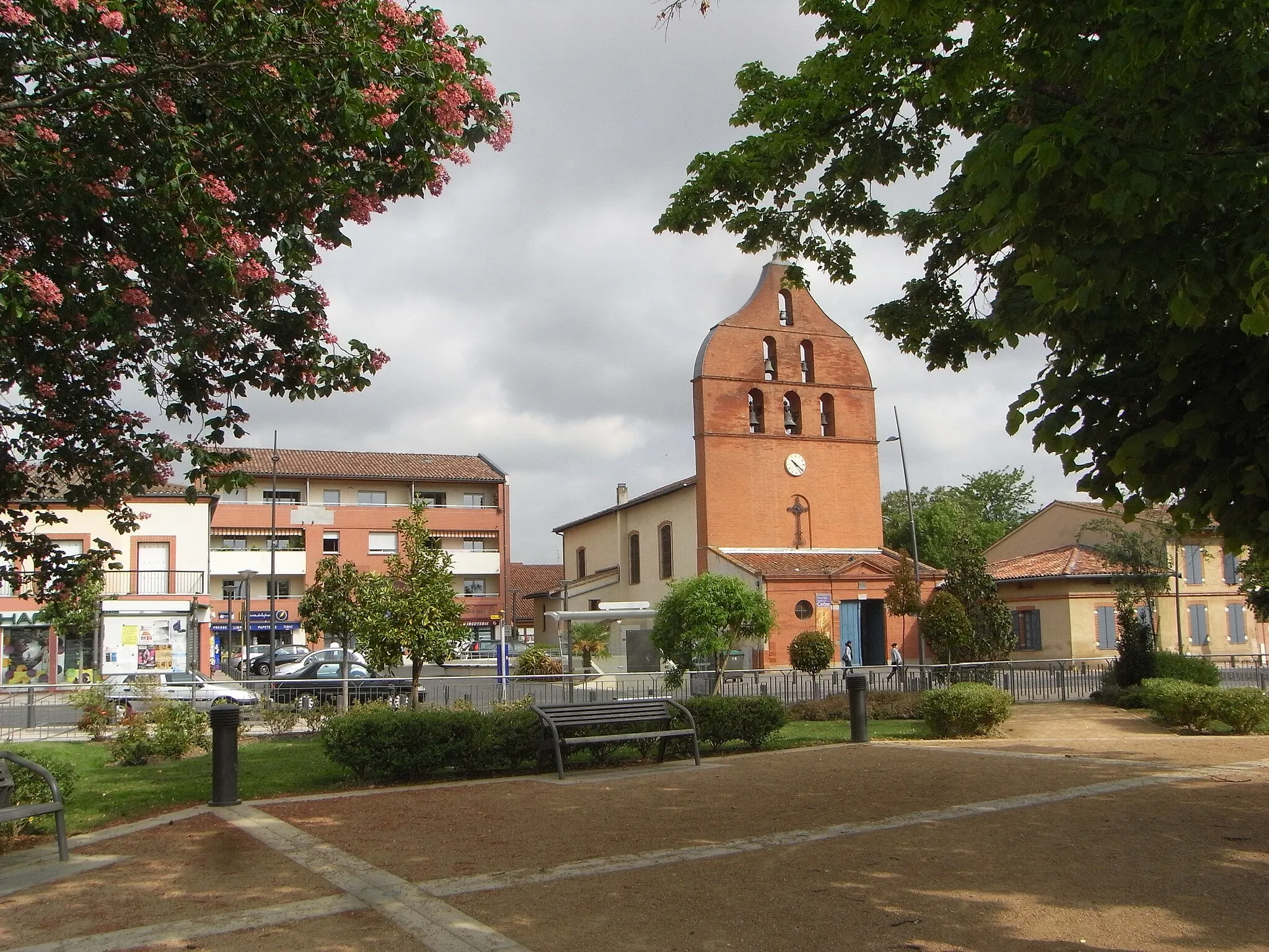
Start: Blagnac City centerBlagnac: Průmyslové město s omezenými cyklistickými možnostmi.
Blagnac je průmyslové město s hustou dopravou, které není příliš vhodné pro cyklistiku. Nedaleko však lze najít cyklistické stezky podél řeky Garonne a do okolní krajiny.1 km
1 km
Table d'orientationVýhledTable d'orientation offers stunning views of the surrounding landscape.
10 km
10 km
TournefeuilleMěstoTour through the picturesque village of Tournefeuille during your journey.
18 km
18 km
CugnauxMěstoDiscover the charming town of Cugnaux with its historic buildings.
33 km
33 km
Saint-LysVesniceExplore the scenic routes leading through the village of Saint-Lys.
39 km
39 km
FontenillesVesnicePass through Fontenilles and enjoy the quaint streets and architecture.
68 km
68 km
Cíl: Blagnac City centerBlagnac: Průmyslové město s omezenými cyklistickými možnostmi.
Cyklistické trasy z Blagnac:
Gravel Tour of Surrounding Areas Road Cycling Adventure near Blagnac Riverside Adventure Prozkoumání jižní Francie na kole Road Trip to Muret and Beyond Gravel Route around Blagnac Exploring Castelginest and L'Union Gravelová cesta k Table d'orientation Okruh Gratentour-Toulouse Road Trip Mondonville-Saint-Rustice Okružní cesta kolem Blagnac