Gravel Route to Belcaire
Cyklistická trasa pro gravel začínající v Lavelanet
Adventurous gravel path to Belcaire through scenic landscapes
Mapa

This route offers a challenging yet rewarding experience for gravel cyclists. Explore the rugged beauty of the region and enjoy the peaceful surroundings along the way.
gravel
68 km
1628 m
Náročné
Profil trasy
Zajímavosti na trase
0 km
0 km
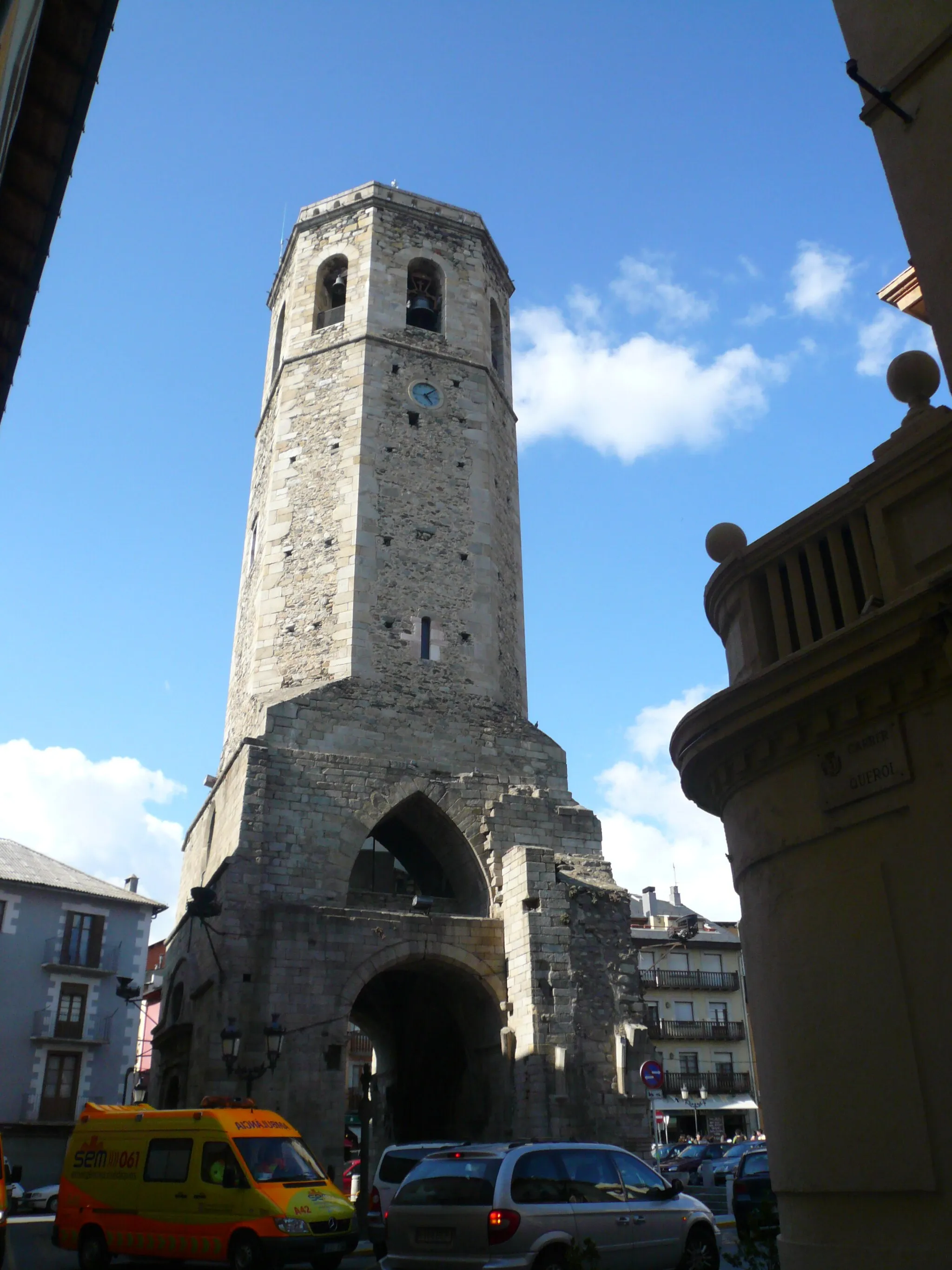
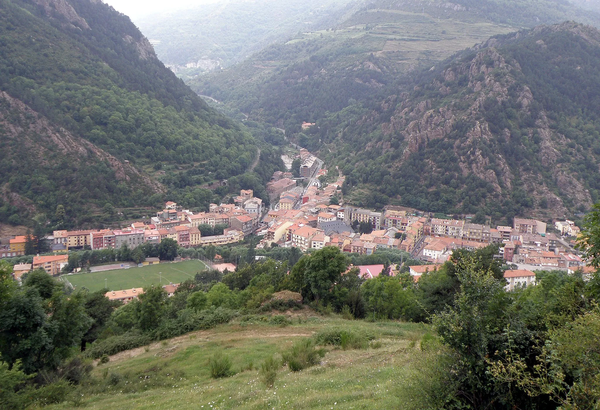
Start: Lavelanet Village centerLavelanet: Skvělá destinace pro gravel biking a cykloturistiku v regionu Midi-Pyrénées.
Lavelanet je malebné městečko v regionu Midi-Pyrénées s krásnými cyklistickými trasami a úchvatnou krajinou. Oblast je ideální pro gravel biking a nabízí mnoho možností pro různé obtížnosti tras. Nedaleko se nachází oblíbené stoupání pro cyklisty.4 km
4 km
L'AiguillonVesnicePass by L'Aiguillon and marvel at the stunning views of the valley.
10 km
10 km
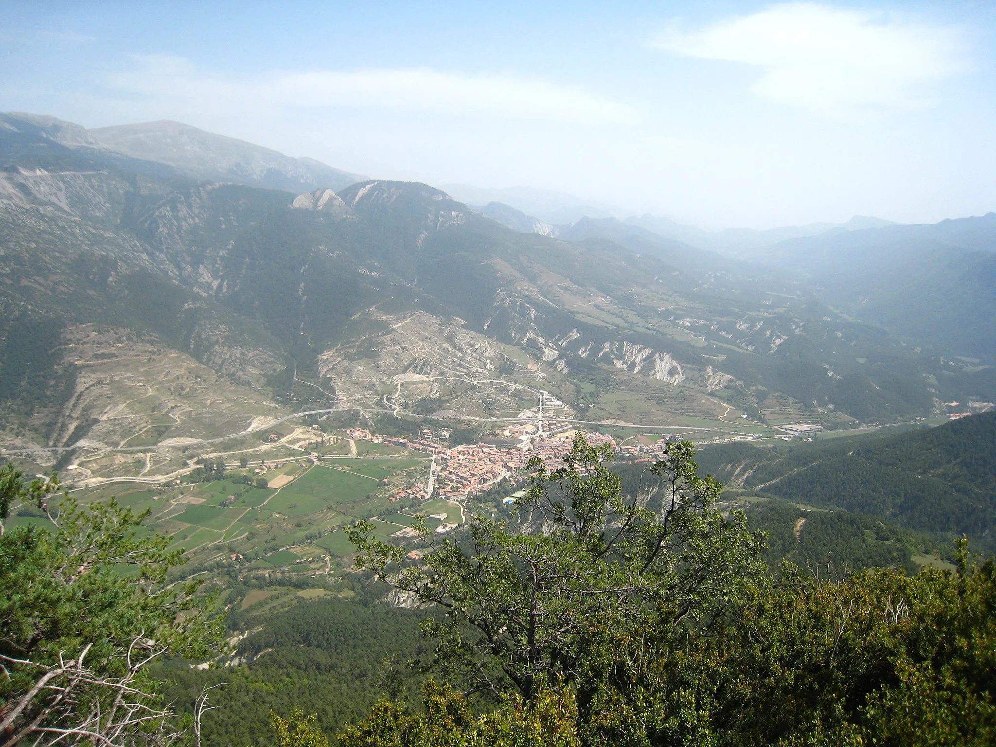
Roc du Caujous855 mVrcholDiscover the unique rock formation of Roc du Caujous along the route.
19 km
19 km
Cap de la Serre1031 mVrcholVisit Cap de la Serre and take in the panoramic views of the countryside.
25 km
25 km
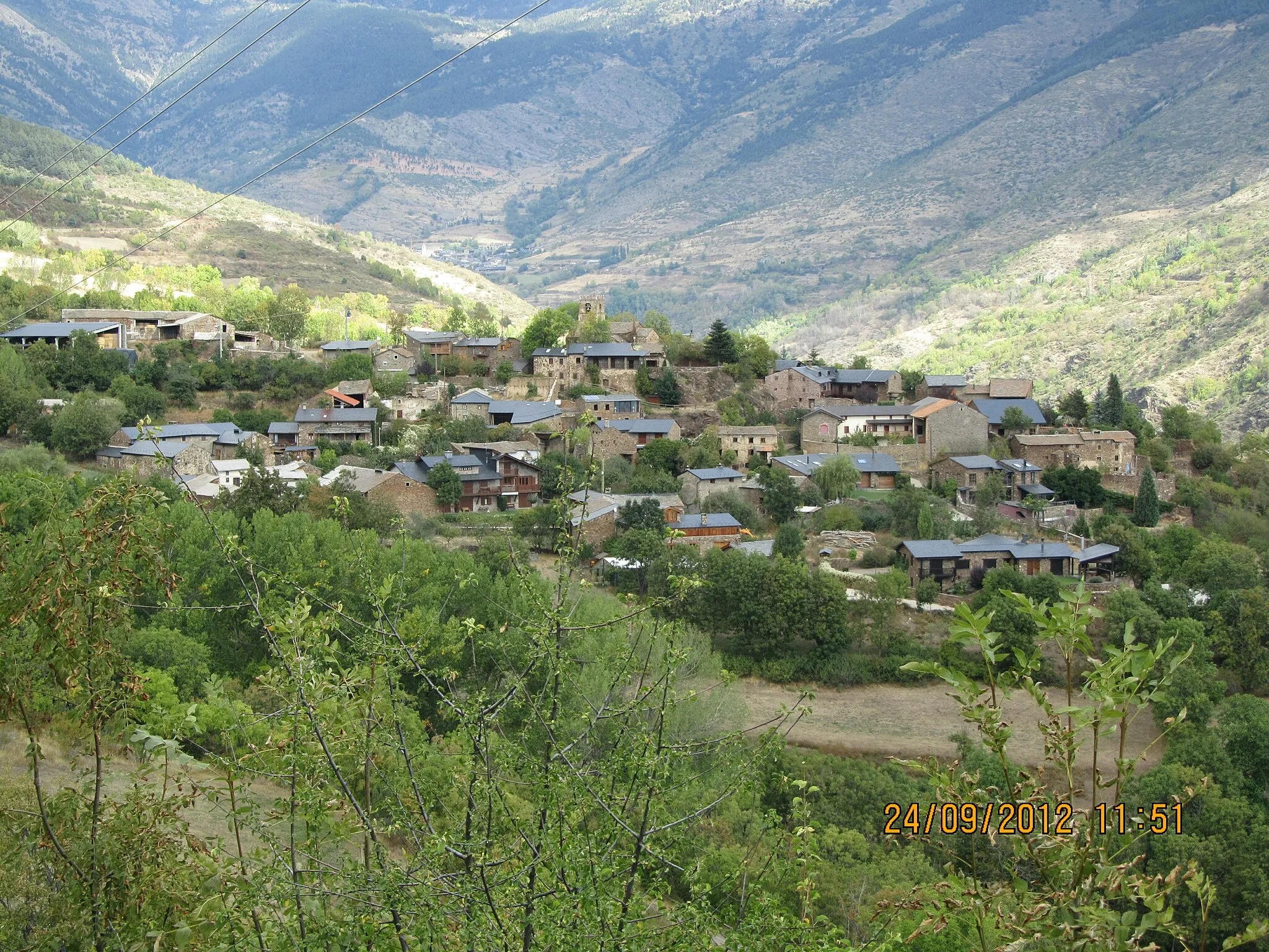
La BénagueVesniceCycle through the picturesque village of La Bénague and soak in the tranquil atmosphere.
37 km
37 km
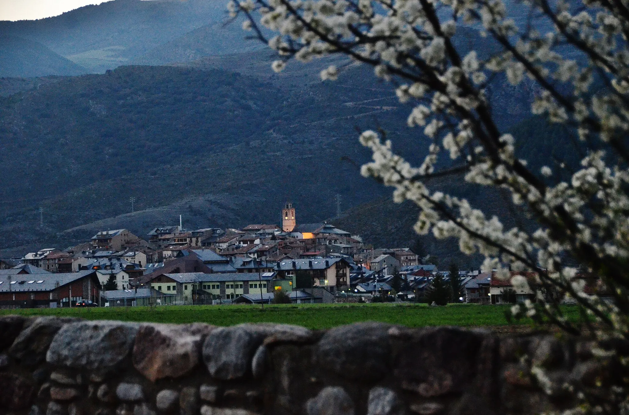
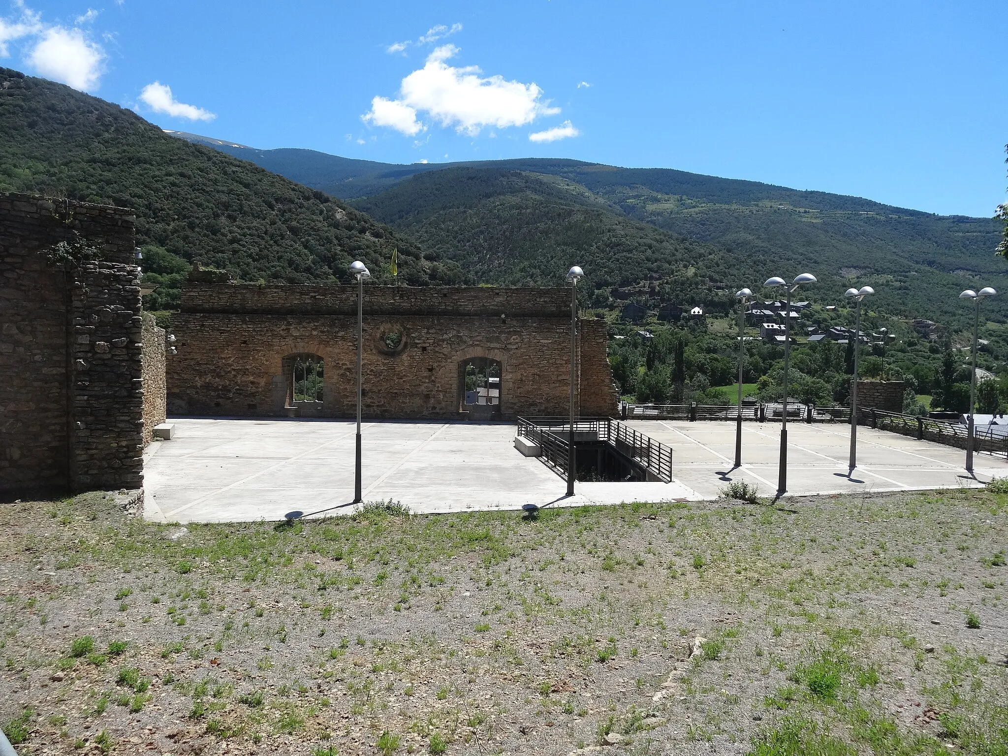
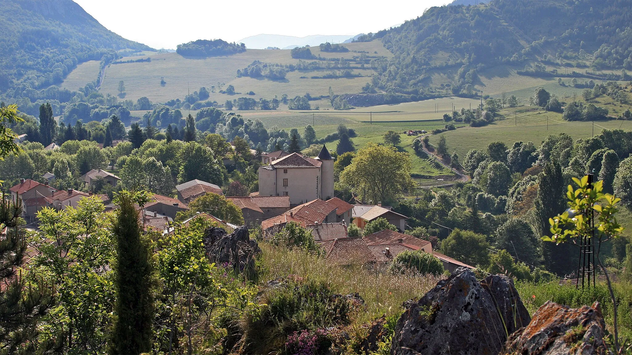
BelcaireVesniceExplore Belcaire and immerse yourself in the local culture and heritage.
53 km
53 km
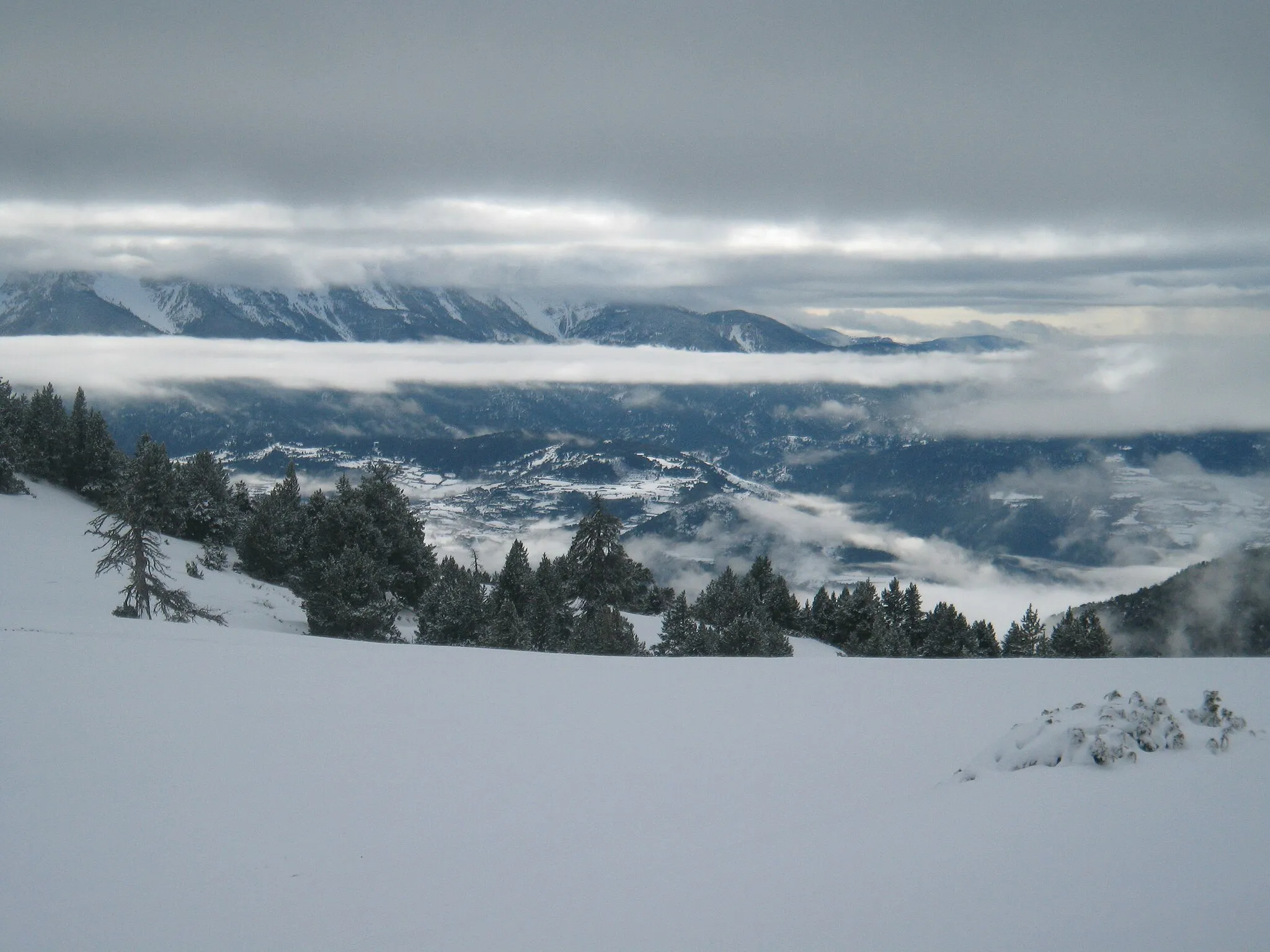
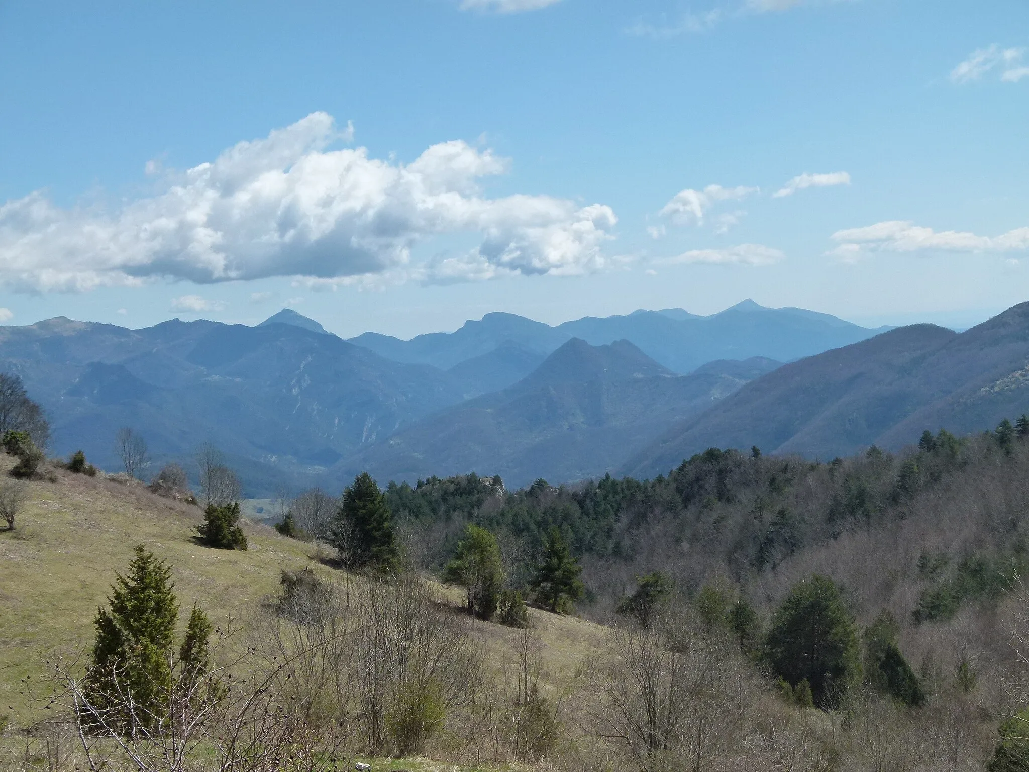
Trou des CorbeauxVýhledExperience the rugged beauty of Trou des Corbeaux and admire the rocky landscapes.
66 km
66 km
Saint-Jean-d'Aigues-VivesVesnicePass by Saint-Jean-d'Aigues-Vives and discover the charm of this quaint village.
68 km
68 km
Cíl: Lavelanet Village centerLavelanet: Skvělá destinace pro gravel biking a cykloturistiku v regionu Midi-Pyrénées.
Cyklistické trasy z Lavelanet:
Trasa Carla-de-Roquefort Gravel Route from Lavelanet Gravel Route from Lavelanet Cyklotrasa Z Lavelanetu kolem Raissac až na Cap de Bourre Road Route to Espéraza Road cyklotrasa z Lavelanetu kolem Pic de l'Aspre až na Carla-de-Roquefort Gravel cyklotrasa kolem Sautel a Pic Galinié Gravel Route to Belcaire Trasa Ventenac-Foix-Lavelanet Road Route from Lavelanet
Cyklotrasy v okolí: