Gravel Route Tâble d'orientation - Séméac
Cyklistická trasa pro gravel začínající v Soues
Gravel route with beautiful views and interesting stops
Mapa
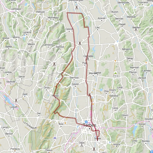
This 73 km gravel route near Soues offers stunning views from Tâble d'orientation and passes through picturesque towns like Tarbes and Saint-Lézer. With a total ascent of 327m, it is a moderate challenge for gravel enthusiasts.
gravel
73 km
327 m
Náročné
Profil trasy
Zajímavosti na trase
0 km
0 km
Start: Soues Village centerSoues: Klidná obec v Pyrenejích
Soues je klidná obec v regionu Midi-Pyrénées ve Francii. Pro cyklisty nabízí okolní kopcovitou krajinu a malebné cyklostezky. V blízkosti se nachází známé stoupání Col de Couraduque, které je oblíbené mezi silničními cyklisty.1 km
1 km
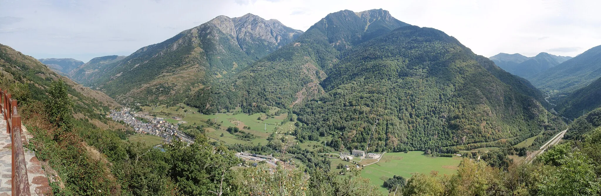
Tâble d'orientationVýhledTâble d'orientation offers panoramic views of the Pyrénées mountains.
4 km
4 km
TarbesMěstoExplore the historic town of Tarbes with its charming architecture and lively atmosphere.
21 km
21 km
TarasteixVesnicePass through the quaint village of Tarasteix and experience rural French life.
29 km
29 km
Saint-LézerVesniceVisit the picturesque town of Saint-Lézer and discover its cultural heritage.
53 km
53 km
CamalèsVesniceCycle through the scenic village of Camalès and enjoy the peaceful surroundings.
61 km
61 km
BazetVesniceDiscover the small town of Bazet and its traditional French charm.
73 km
73 km
Cíl: Soues Village centerSoues: Klidná obec v Pyrenejích
Cyklistické trasy z Soues:
Gravel Route Barbazan-Debat - Bernac-Debat Trasa Barbazan-Debat - Lansac Okružní cyklistická trasa z blízkosti města Soues Road Route Tâble d'orientation - Soues Trasa Ossun - Aureilhan Trasa Tournay - Arcizac-Adour Trasa Ossun - Urac Road Route Barbazan-Debat - Allier Gravel Route Tâble d'orientation - Séméac Silniční okruh kolem Soues Gravel okruh kolem Soues
Cyklotrasy v okolí: