Gravel Route through Millery
Cyklistická trasa pro gravel začínající v Millery
Challenging gravel route with significant ascent and varied highlights
Mapa
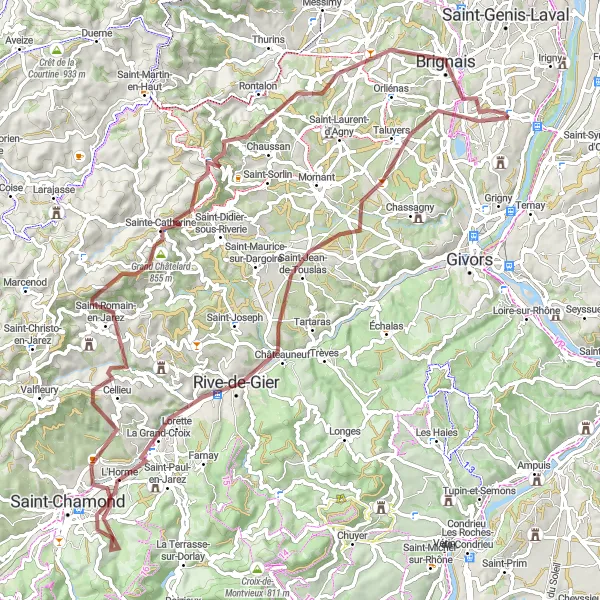
This gravel route near Millery offers a challenging ride with beautiful scenery and interesting highlights along the way. With a total ascent of 1706 meters over 89 kilometers, cyclists can enjoy the picturesque views of Brignais, Crêt du Bouchat, Table d'orientation, Cellieu, La Grand-Croix, Saint-Jean-de-Touslas, and Taluyers.
gravel
89 km
1706 m
Náročné
Profil trasy
Zajímavosti na trase
0 km
0 km
Start: Charly Village centerMillery: Klidné cyklistické stezky a pohodová atmosféra
Millery je malebná vesnice v regionu Rhône-Alpes ve Francii. Pro cyklisty poskytuje klidné cyklistické stezky a možnost poznávání okolní krajiny. V blízkosti se nachází několik známých tras vhodných pro relaxační jízdy i náročné výzvy.5 km
5 km
BrignaisMěstoExperience the charming village of Brignais along the route.
15 km
15 km
Crêt du Bouchat586 mVrcholEnjoy the panoramic views from Crêt du Bouchat.
26 km
26 km
Table d'orientationVýhledLearn about the history of the area at Table d'orientation.
39 km
39 km
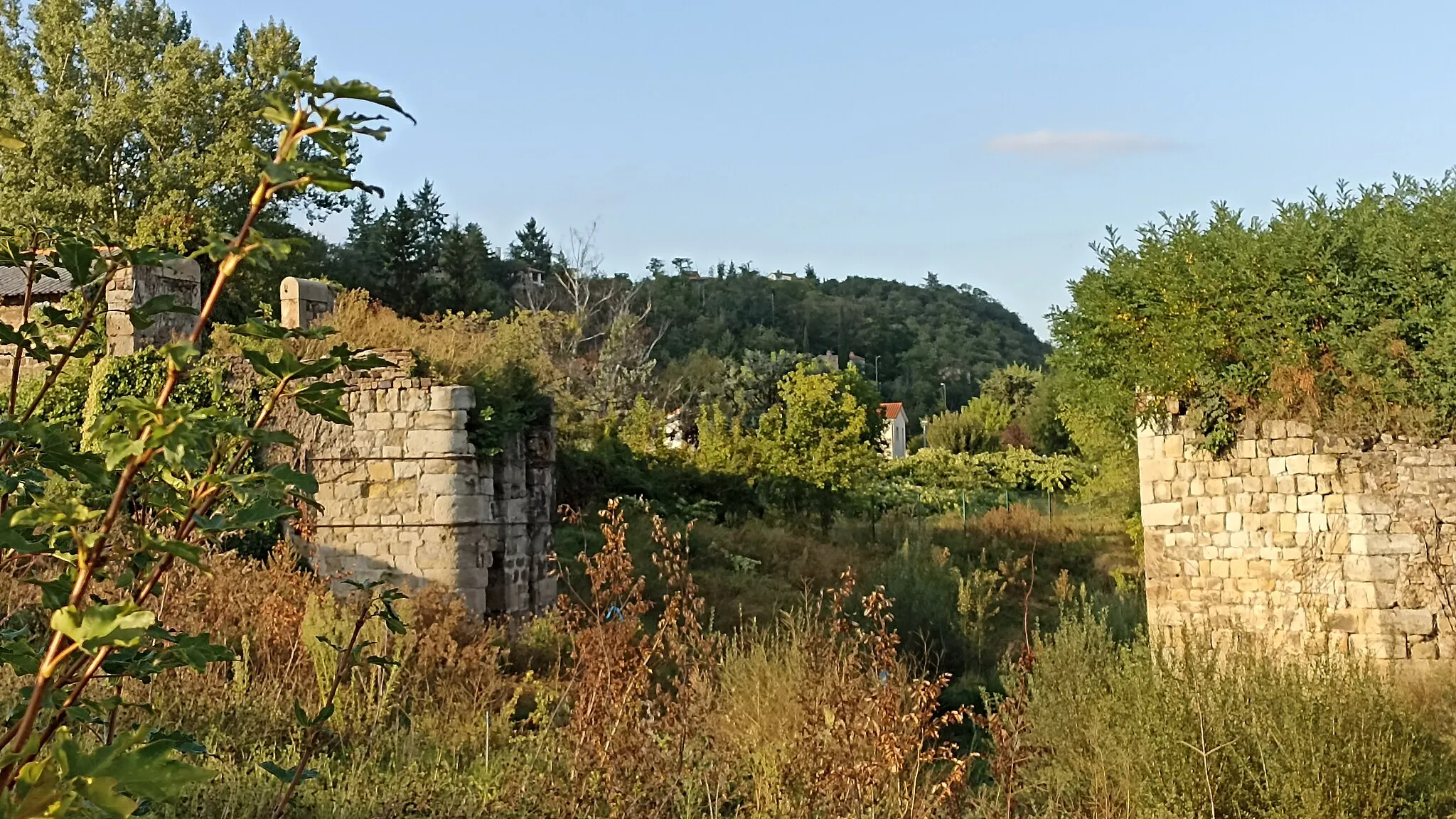
CellieuVesniceDiscover the quaint village of Cellieu on your journey.
60 km
60 km
La Grand-CroixVesniceAdmire the stunning landscapes near La Grand-Croix.
73 km
73 km
Saint-Jean-de-TouslasVesniceExplore the historic town of Saint-Jean-de-Touslas.
82 km
82 km
TaluyersVesniceTake in the scenic views of Taluyers on your ride.
89 km
89 km
Cíl: Charly Village centerMillery: Klidné cyklistické stezky a pohodová atmosféra
Cyklistické trasy z Millery:
Vernaison až Charly Cyklistická trasa okolo Millery Road Cycling Tour from Millery Chassagny až Brignais Okružní cyklistická trasa poblíž Millery Oullins až Vernaison Francheville až Millery Cyklistická trasa Vernaison - Château de Charly Road Cycling Adventure near Millery Gravel trasa Oullins - Vernaison Cyklostezka okolo Millery Gravel Route through Millery Scenic Gravel Loop near Millery Kulturní cyklotrasa kolem Millery Gravelová cesta kolem Millery