Gravel Route Around Saint-Symphorien-sur-Coise
Cyklistická trasa pro gravel začínající v Saint-Symphorien-sur-Coise
Discover the picturesque countryside on this challenging gravel route
Mapa
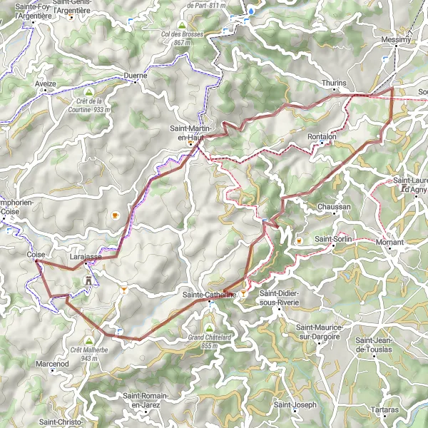
Explore the rolling hills and charming villages on this 49 km gravel route with a total ascent of 1263 m. Enjoy the scenic views from the viewpoints along the way and take in the beauty of nature.
gravel
49 km
1263 m
Náročné
Profil trasy
Zajímavosti na trase
0 km
0 km
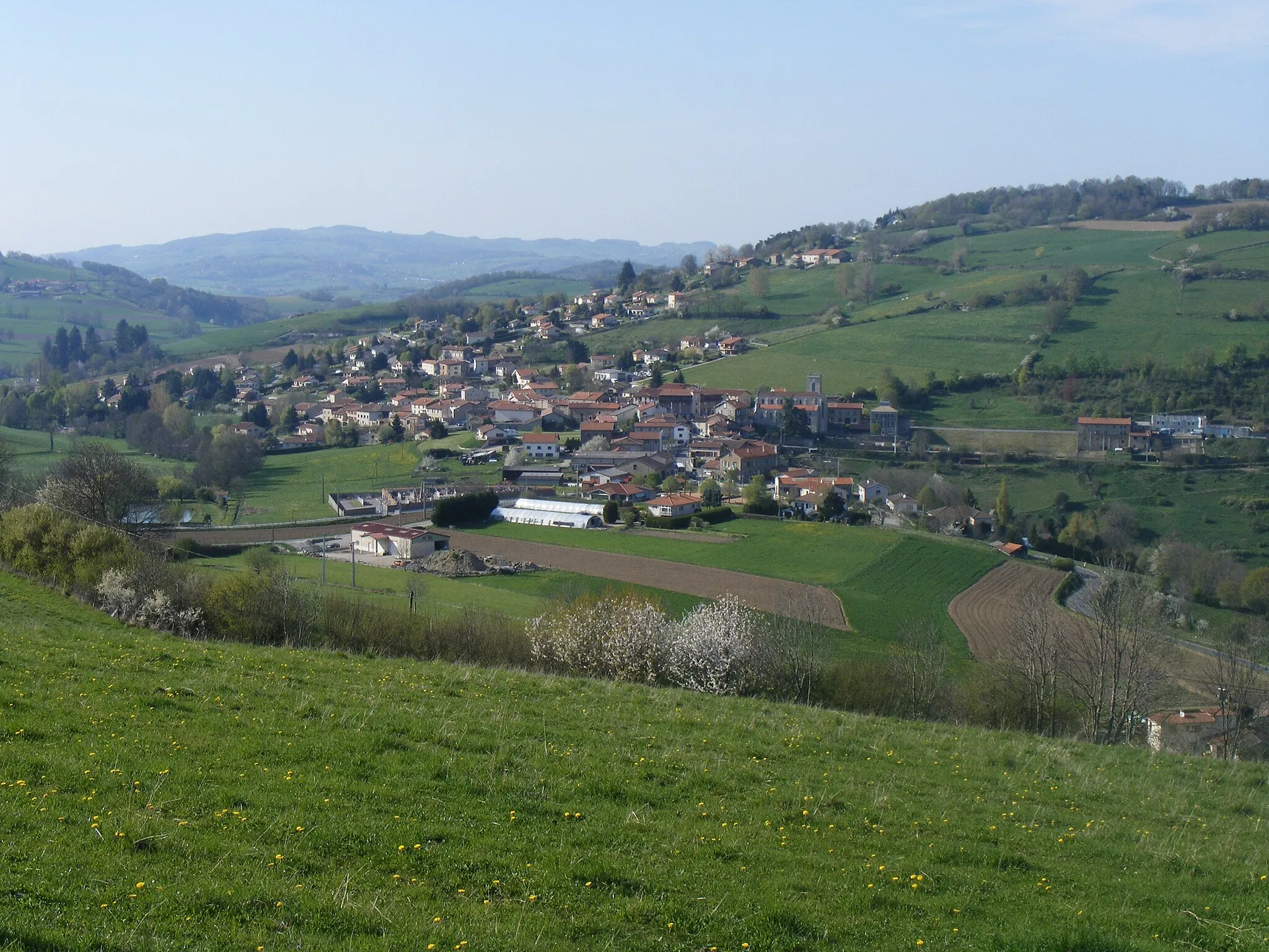
Start: Coise Village centerSaint-Symphorien-sur-Coise: Krásné trasy a gravel biking
Saint-Symphorien-sur-Coise je malebná vesnice v regionu Rhône-Alpes ve Francii. Pro cyklisty zde jsou k dispozici krásné trasy a úseky vhodné pro gravel biking. V okolí se nachází známý kopec Mont Thou, který je populární mezi cyklisty.2 km
2 km
LarajasseVesniceRide through the quaint village of Larajasse and admire the traditional architecture.
13 km
13 km
Point de vue RochefortVýhledStop at the Point de vue Rochefort for panoramic views of the surrounding landscape.
19 km
19 km
ThurinsVesniceVisit the charming town of Thurins with its historic buildings and peaceful atmosphere.
26 km
26 km
Crêt du Bouchat586 mVrcholReach the summit of Crêt du Bouchat and enjoy breathtaking views of the region.
37 km
37 km
Table d'orientationVýhledTake a break at the Table d'orientation and learn about the local landmarks and geography.
38 km
38 km
Sainte-CatherineVesnicePass by the historic chapel of Sainte-Catherine and learn about its religious significance.
44 km
44 km
Crêt Malherbe943 mVrcholChallenge yourself to reach the top of Crêt Malherbe and soak in the stunning vistas.
49 km
49 km
Cíl: Coise Village centerSaint-Symphorien-sur-Coise: Krásné trasy a gravel biking
Cyklistické trasy z Saint-Symphorien-sur-Coise:
Z Saint-Symphorien-sur-Coise do Duerne a zpět Okruh kolem Saint-Symphorien-sur-Coise Okolo Givors a Yzeron Gravel cyklistická trasa kolem Saint-Symphorien-sur-Coise Gravel Trasa Larajasse - Coise Okruh kolem Saint-Symphorien-sur-Coise Road Cycling Adventure near Saint-Symphorien-sur-Coise Gravel Trasa La Chapelle-sur-Coise - Coise Gravel Route Around Saint-Symphorien-sur-Coise Gravel Trasa Maringes - La Chapelle-sur-Coise