Scenic gravel route to Riverie and Taluyers
Cyklistická trasa pro gravel začínající v Taluyers
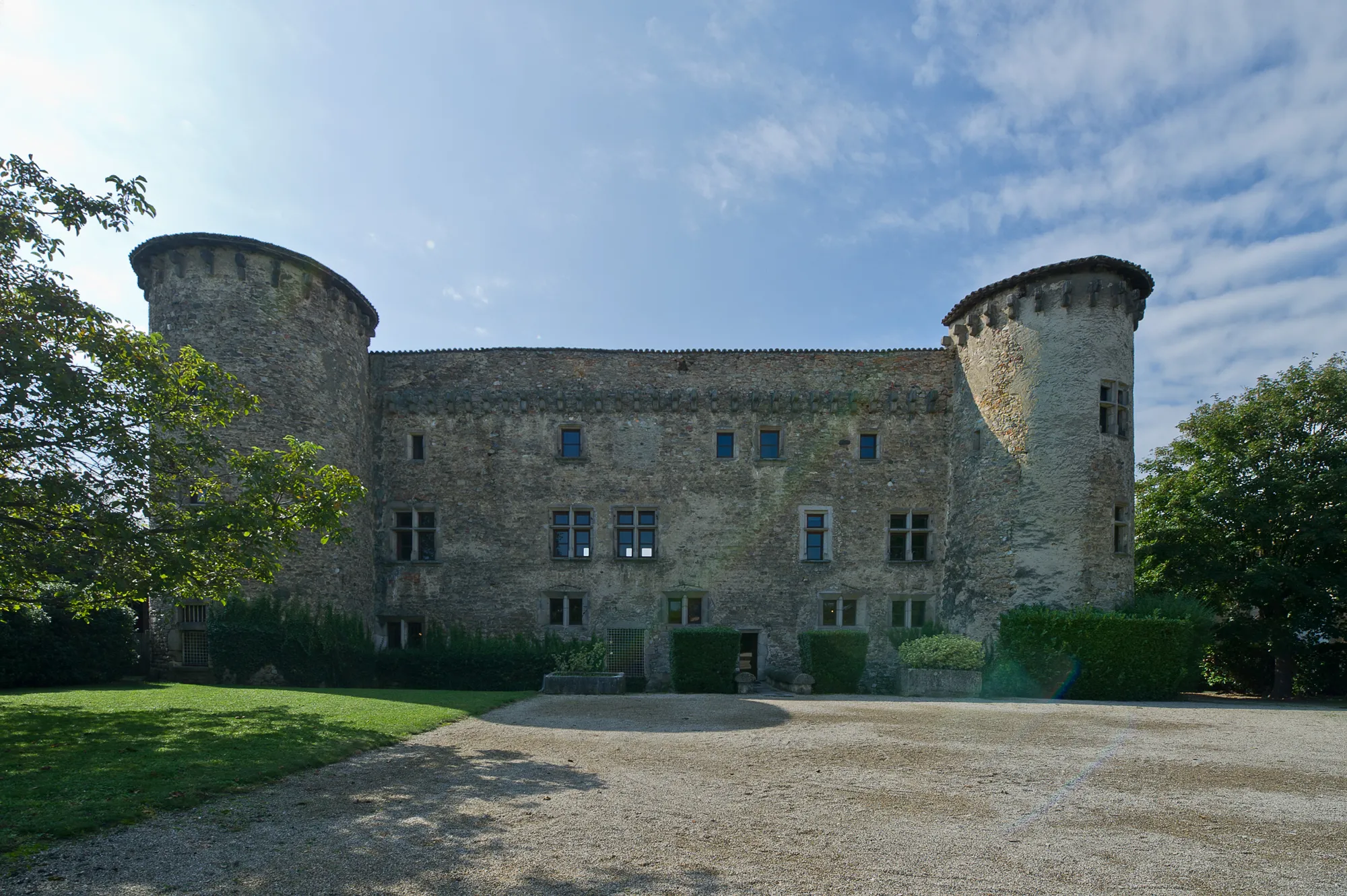
Experience the beauty of Saint-Christo-en-Jarez and Table d'orientation
Mapa
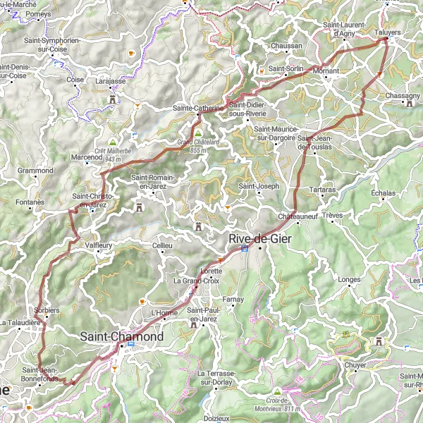
Embark on a 75km gravel adventure with 1242m ascent, passing through Saint-Christo-en-Jarez and Table d'orientation. Enjoy the peaceful atmosphere in Riverie and the breathtaking views along the way. Finish with a rewarding descent to Taluyers.
gravel
75 km
1242 m
Divoký
Profil trasy
Zajímavosti na trase
0 km
0 km
Start: Taluyers Village centerTaluyers: Challenging climbs and stunning views for road cyclists.
Taluyers is a charming village with easy access to some challenging climbs in the nearby hills. The area is popular among road cyclists for its varied terrain and stunning views.17 km
17 km
Rive-de-GierMěstoVisit the charming town of Rive-de-Gier.
25 km
25 km
L'HormeVesniceExplore the historic town of L'Horme.
50 km
50 km
Saint-Christo-en-JarezVesniceDiscover the beauty of Saint-Christo-en-Jarez.
62 km
62 km
RiverieVesniceEnjoy the peaceful surroundings of Riverie.
62 km
62 km
Table d'orientationVýhledTake in the panoramic views from Table d'orientation.
75 km
75 km
TaluyersVesniceConclude your journey in Taluyers with a sense of achievement.
75 km
75 km
Cíl: Taluyers Village centerTaluyers: Challenging climbs and stunning views for road cyclists.
Cyklistické trasy z Taluyers:
Cyklistická cesta přes Mornant a Villechenève Silniční trasa s výškovým převýšením 1180 metrů Gravel cyklotrasa kolem Taluyers Trasa s štěrkovým povrchem s výškovým převýšením 646 metrů Scenic gravel route to Riverie and Taluyers Silniční trasa s výškovým převýšením 695 metrů Road cycling adventure through Champvert and Vourles Trasa s štěrkovým povrchem s výškovým převýšením 1346 metrů Okružní trasa přes Montagny a Auberives-sur-Varèze Epic road cycling route through Genas and Mions