Road Route from Vaugneray
Cyklistická trasa pro road začínající v Vaugneray
131 km road route with 1720m ascent
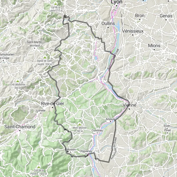
Mapa
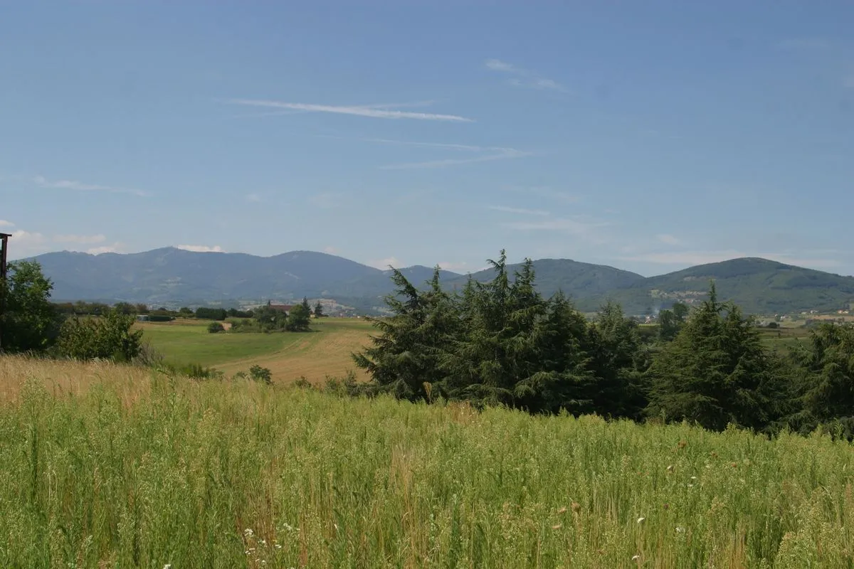
Embark on a challenging 131 km road route with 1720m ascent starting near Vaugneray. Highlights include Brindas, Charly, Vienne, Pélussin, and Châteauneuf. This route offers a mix of tough climbs and rewarding descents with beautiful scenery along the way.
road
131 km
1720 m
Divoký
Profil trasy
Zajímavosti na trase
0 km
0 km
Start: Vaugneray Village centerVaugneray: Picturesque locality for peaceful rides through the countryside.
Vaugneray is a picturesque locality in the Rhône-Alpes region, ideal for cyclists seeking peaceful rides through the rolling hills and valleys of the French countryside. Road cyclists can explore the scenic routes that wind through vineyards and forests, while gravel cyclists have the option to venture off-road on forest trails and paths. The locality is a great starting point for cyclists looking to discover the hidden gems of the Beaujolais region and its charming villages.5 km
5 km
BrindasVesnicePass through the charming village of Brindas on your cycling journey.
19 km
19 km
CharlyVesniceExplore the historic town of Charly with its medieval architecture.
39 km
39 km
Belvédère de PipetVýhledTake in the panoramic views from Belvédère de Pipet lookout point.
39 km
39 km
VienneMěstoCycle through the ancient town of Vienne, known for its Roman heritage.
59 km
59 km
Saint-Maurice-l'ExilVesniceExperience the peaceful atmosphere of Saint-Maurice-l'Exil on your route.
73 km
73 km
PélussinVesniceDiscover the quaint town of Pélussin nestled in the Rhône-Alpes region.
81 km
81 km
Col de Pavezin652 mPrůsmykConquer the challenging climb to Col de Pavezin with stunning views at the summit.
97 km
97 km
ChâteauneufVesniceExplore the medieval village of Châteauneuf with its historic charm.
114 km
114 km
Crêt du Bouchat586 mVrcholReach the summit of Crêt du Bouchat and take in the panoramic vistas.
118 km
118 km
RontalonVesniceCycle through the picturesque village of Rontalon on your cycling adventure.
131 km
131 km
Cíl: Vaugneray Village centerVaugneray: Picturesque locality for peaceful rides through the countryside.
Cyklistické trasy z Vaugneray:
Gravel Route from Vaugneray Trasa kolem Vaugneray (silniční) Trasa kolem Vaugneray (silniční) Trasa kolem Vaugneray (gravlová) Trasa kolem Vaugneray (gravlová) Road Route from Vaugneray Okruhová cyklistická trasa okolo Vaugneray (road) Okruhová cyklistická trasa okolo Vaugneray (gravel) Okruhová cyklistická trasa okolo Vaugneray (gravel) Okruhová cyklistická trasa okolo Vaugneray (road) Road Route to Crêt de la Madonne