Road cycling route around Spodnje Hoče
Cyklistická trasa pro road začínající v Spodnje Hoce
Discover beautiful views and charming villages on this scenic road cycling route
Mapa
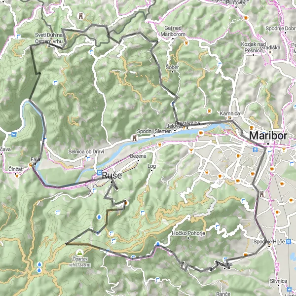
Explore picturesque landscapes and charming villages as you cycle through the region. With a total ascent of 2318 meters and a distance of 81 kilometers, this route offers a challenging yet rewarding experience for cyclists of all levels.
road
81 km
2318 m
Náročné
Profil trasy
Zajímavosti na trase
0 km
0 km
Start: Zgornje Hoče Village centerSpodnje Hoče: Malebná obec pro cyklisty východně od Slovinska.
Spodnje Hoče je malebná obec východně od Slovinska, ideální pro cyklisty hledající klidné trasy a krásnou krajinu. Okolní silnice nabízejí skvělé možnosti pro jízdu na silnici i na štěrku. Nedaleko se nachází známý kopec Pohorje, který láká cyklisty z celého světa.2 km
2 km
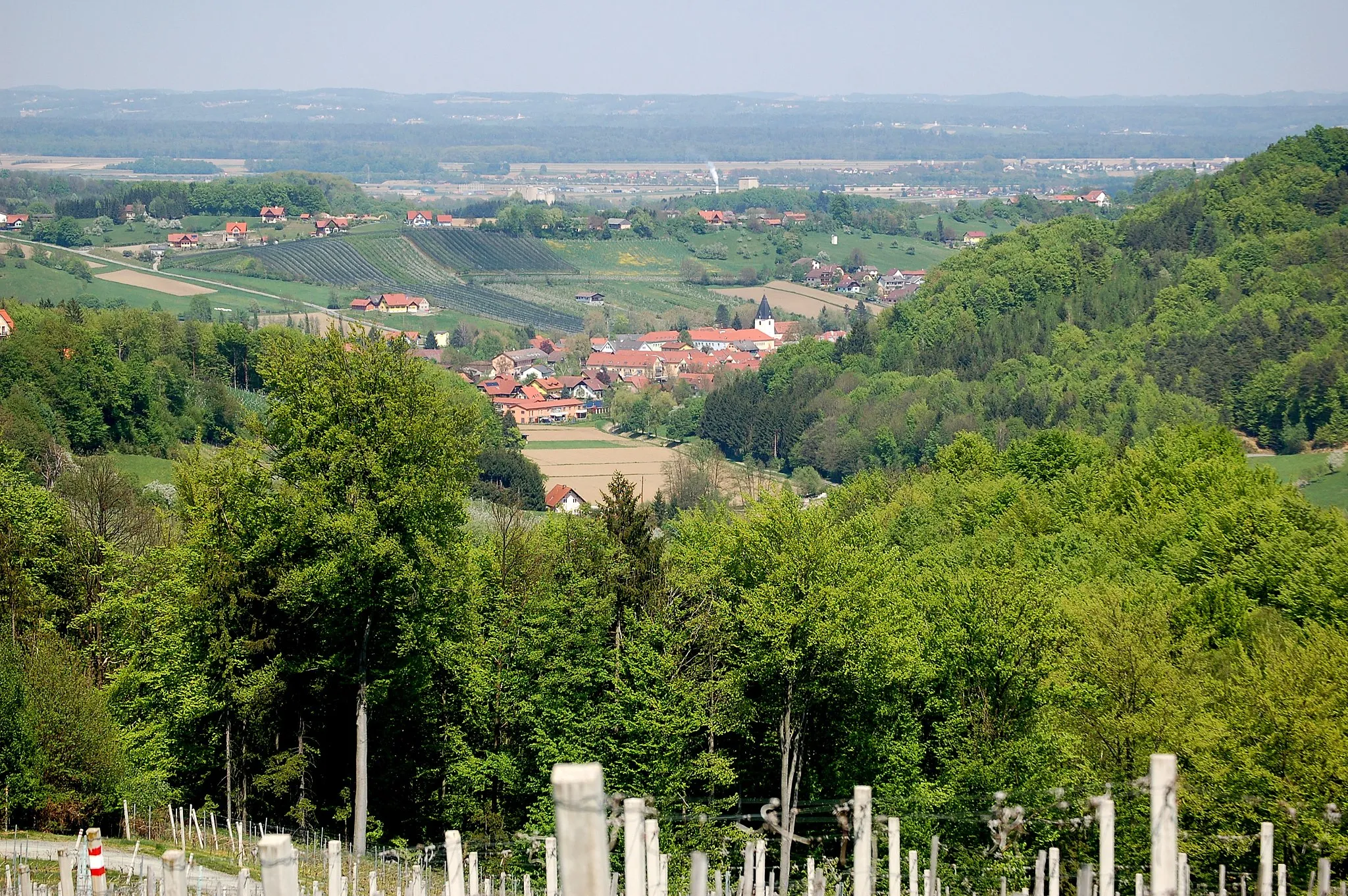
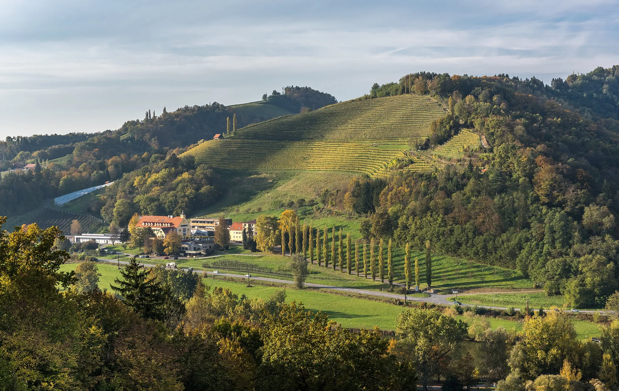
PolanaVesniceEnjoy the panoramic views from Polana as you take a break and admire the surroundings.
17 km
17 km
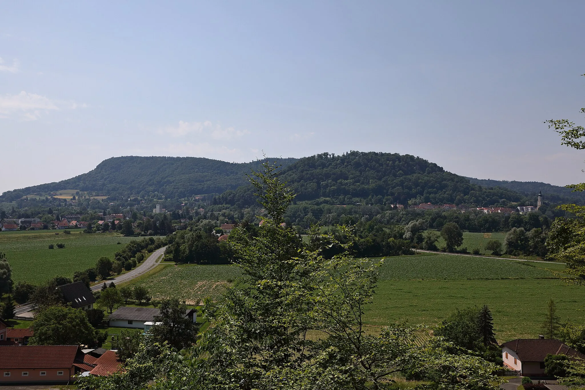
Žigartov vrh1346 mVrcholReach the summit of Žigartov vrh and enjoy breathtaking views of the countryside.
30 km
30 km
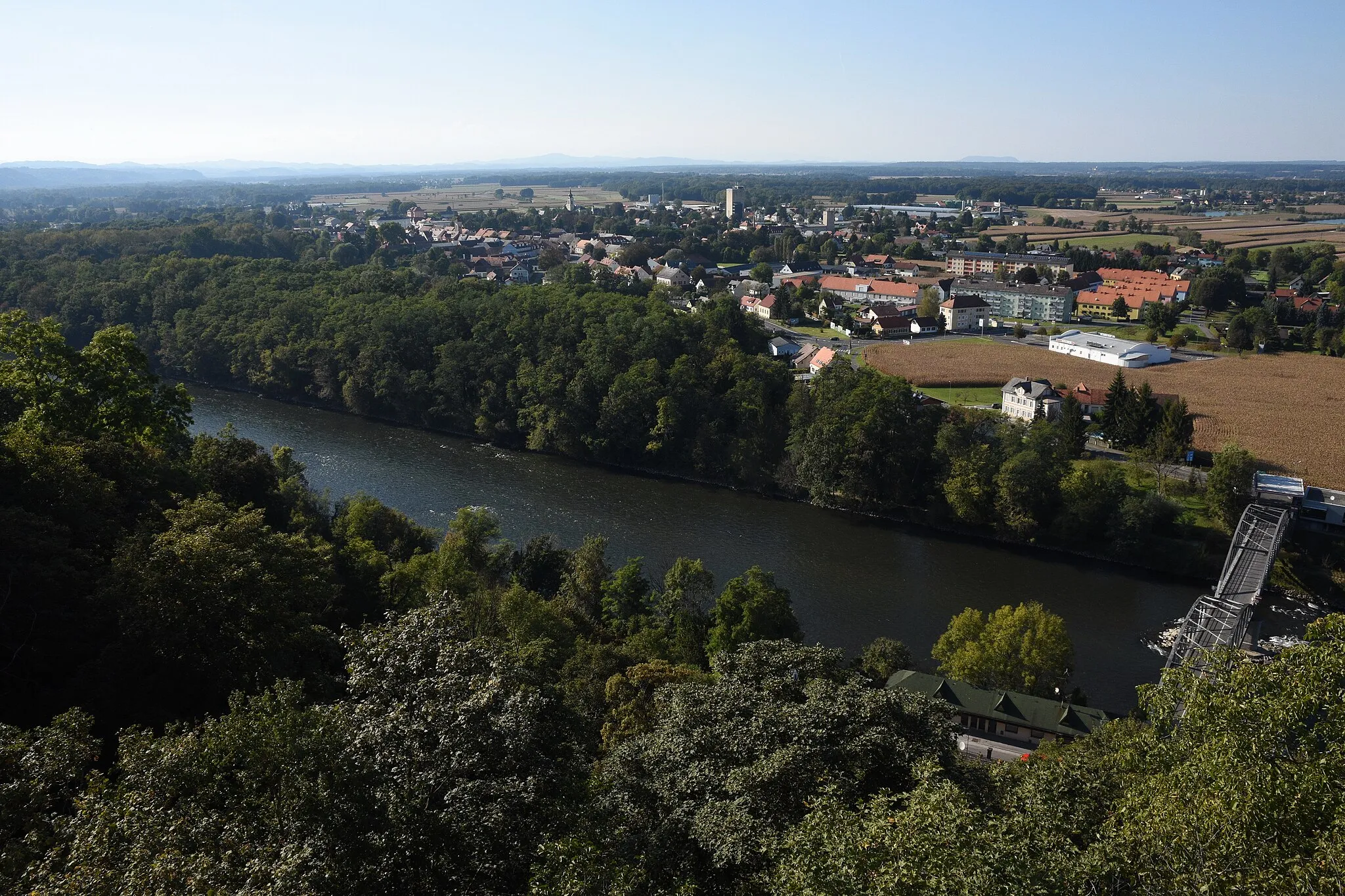
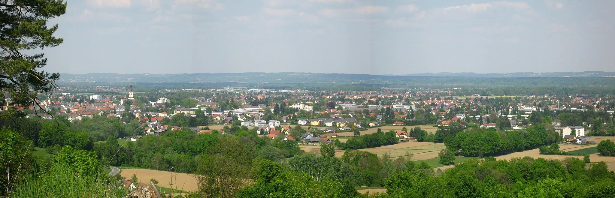
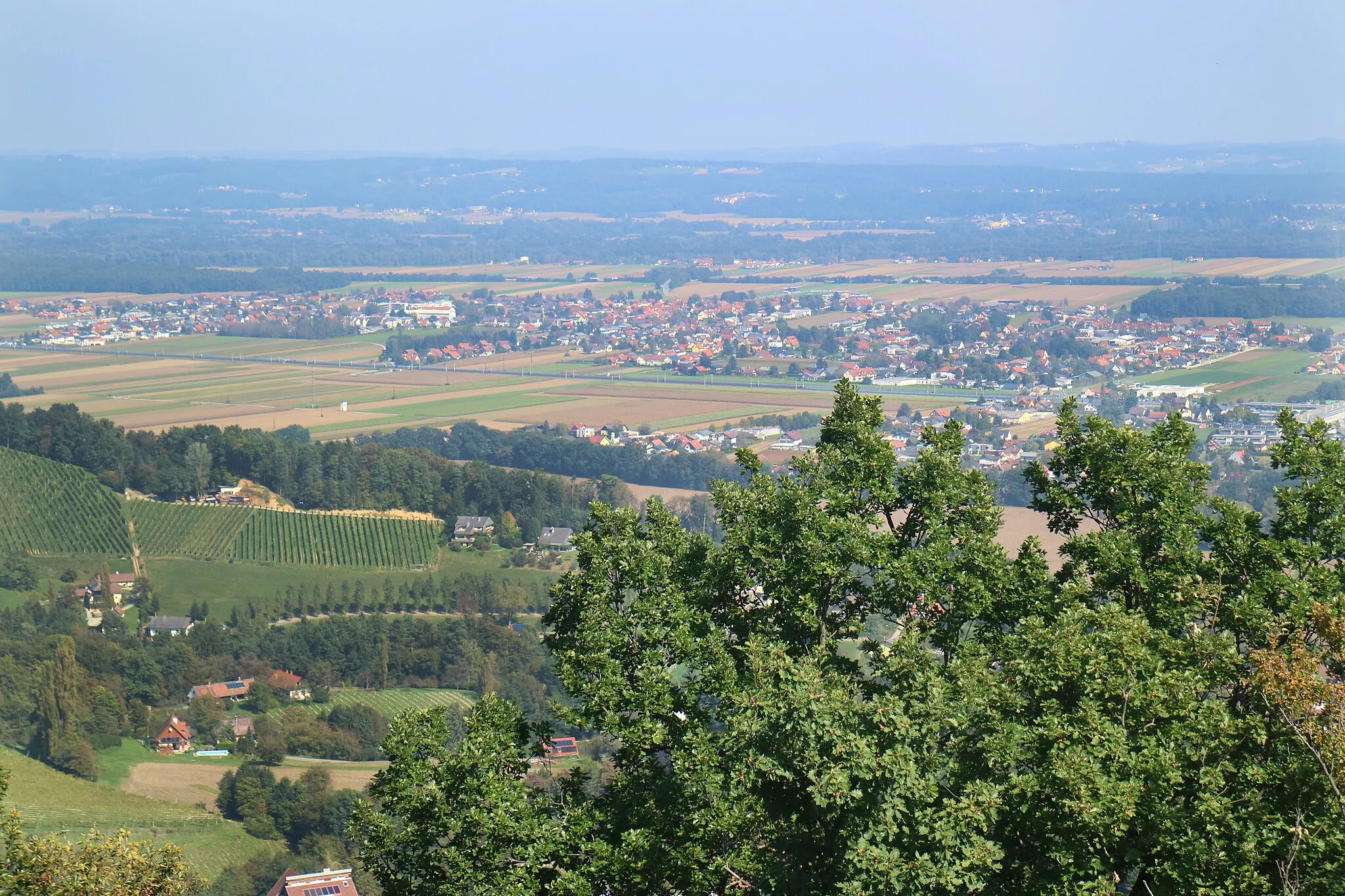
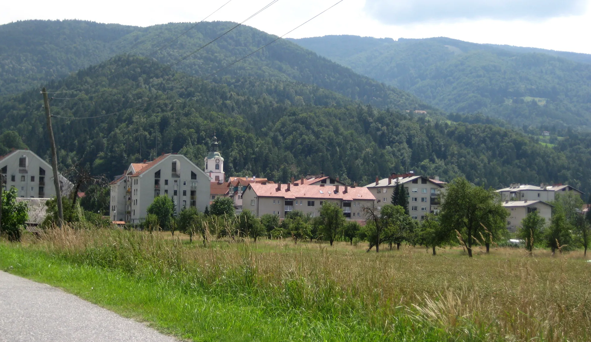
RušeMěstoPass through the historic town of Ruše and learn about its rich cultural heritage.
36 km
36 km
Karolina357 mVrcholVisit the charming village of Karolina and explore its quaint streets.
47 km
47 km
Sveti Duh na Ostrem vrhuVesniceStop at Sveti Duh na Ostrem vrhu and learn about its religious significance.
60 km
60 km
Tojzlov vrh703 mVrcholClimb Tojzlov vrh for stunning panoramic views of the surrounding area.
69 km
69 km
Kamniški breg354 mVrcholConquer the challenging ascent of Kamniški breg and enjoy the sense of achievement at the top.
73 km
73 km
MariborMěstoFinish the route in Maribor and explore the vibrant city center.
81 km
81 km
Cíl: Zgornje Hoče Village centerSpodnje Hoče: Malebná obec pro cyklisty východně od Slovinska.
Cyklistické trasy z Spodnje Hoce:
Road Cycling Tour to Ptuj Road cycling expedition from Spodnje Hoče Gravel cycling route near Spodnje Hoče Cyklotrasa s výhledy kolem Rače Road cycling route around Spodnje Hoče Extended gravel cycling route from Spodnje Hoče Cyklotrasa kolem Hum a Mureck Okružní cyklistická trasa Polana Cyklotrasa Petkovo sedlo a Maribor Cyklotrasa Pohorje a Ruše Trasa skrze Maribor a Slovenske gorice Okružní cyklistická trasa kolem Spodnje Hoče Gravel okružní trasa kolem Spodnje Hoče Gravel cyklistická trasa okolo Spodnje Hoče
Cyklotrasy v okolí: