Gravel Žiri Loop
Cyklistická trasa pro gravel začínající v Vrhnika
Explore the picturesque countryside on this challenging gravel loop near Vrhnika.
Mapa
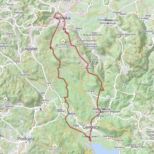
This 65 km route with 1157 m of ascent takes you through various highlights, such as the charming village of Veliki Lipovec, the mysterious Cerknica Lake, and the scenic Obli vrh hill. The highlight of the route is Močilnik, the source of the Ljubljanica River, and Tičnica, a beautiful natural area.
gravel
65 km
1157 m
Náročné
Profil trasy
Zajímavosti na trase
0 km
0 km
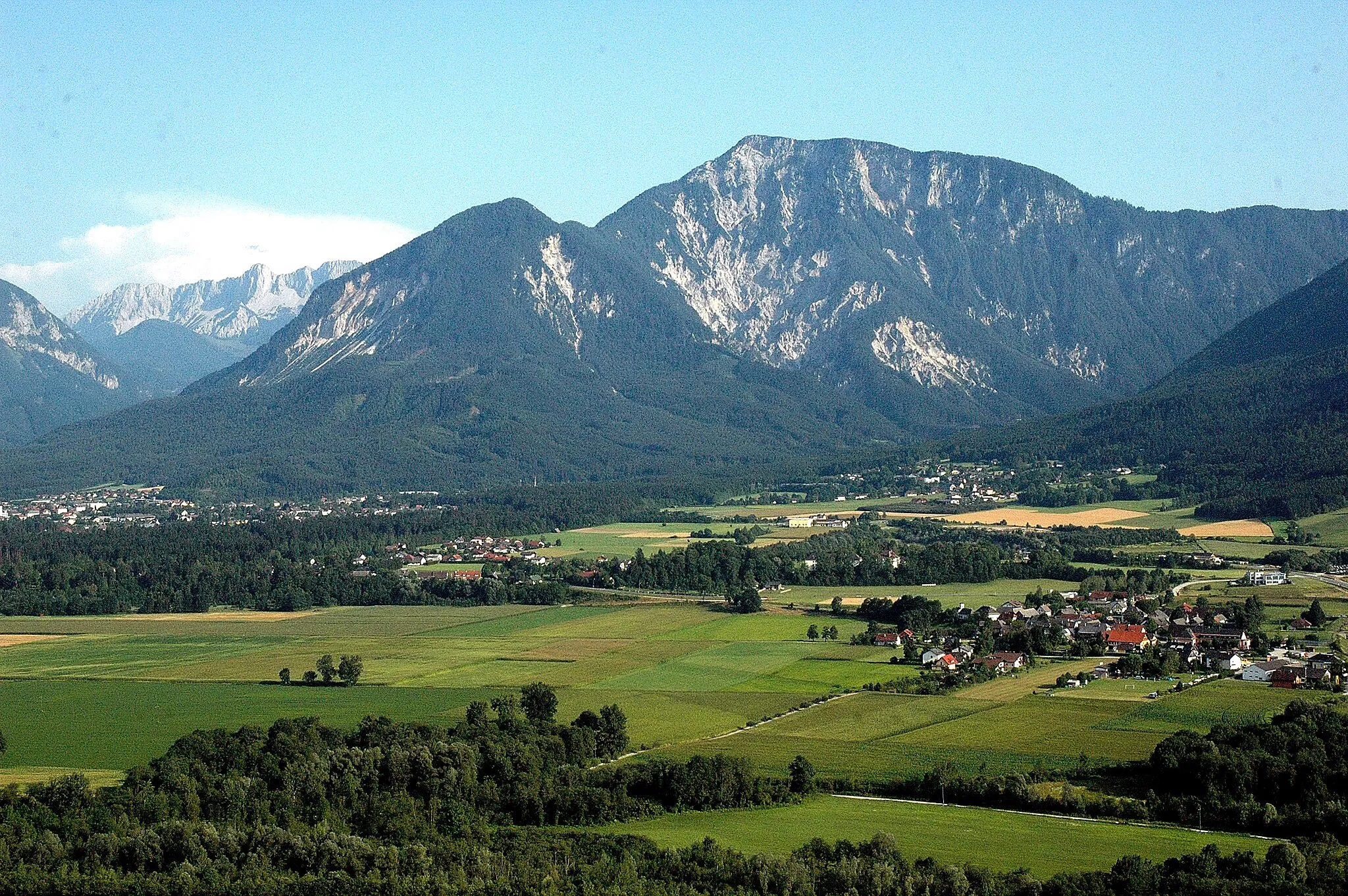
Start: Stara Vrhnika Village centerVrhnika: Malebné město s přátelskými trasami a oblíbenými kopci pro cyklisty.
Vrhnika je malebné město poblíž Ljubljany s přátelskými cyklistickými trasami a okolím. Zdejší kopce a úseky jsou oblíbené mezi místními cyklisty a nabízejí zajímavé výzvy pro každého.1 km
1 km
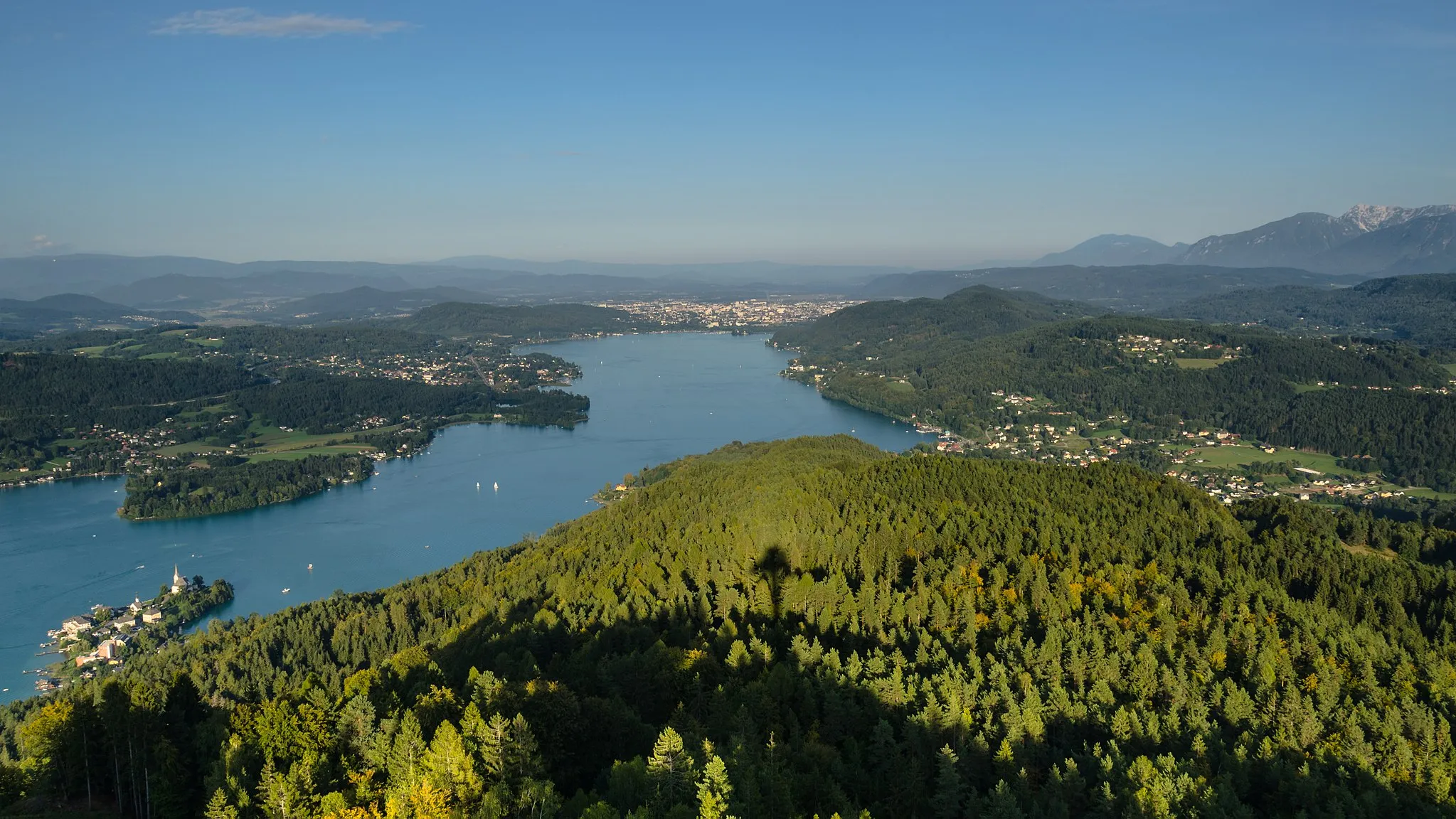
Sveta Trojica357 mVrcholDiscover the beauty of the Sveta Trojica area along the route.
1 km
1 km
VrhnikaMěstoStart your journey in the lovely town of Vrhnika.
10 km
10 km
Veliki Lipovec753 mVrcholExperience the rural charm of Veliki Lipovec village.
14 km
14 km
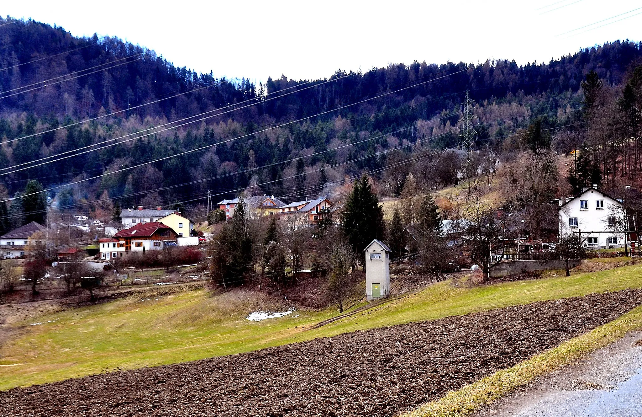
PokojiščeVesnicePass by the quaint village of Pokojišče on your way.
30 km
30 km
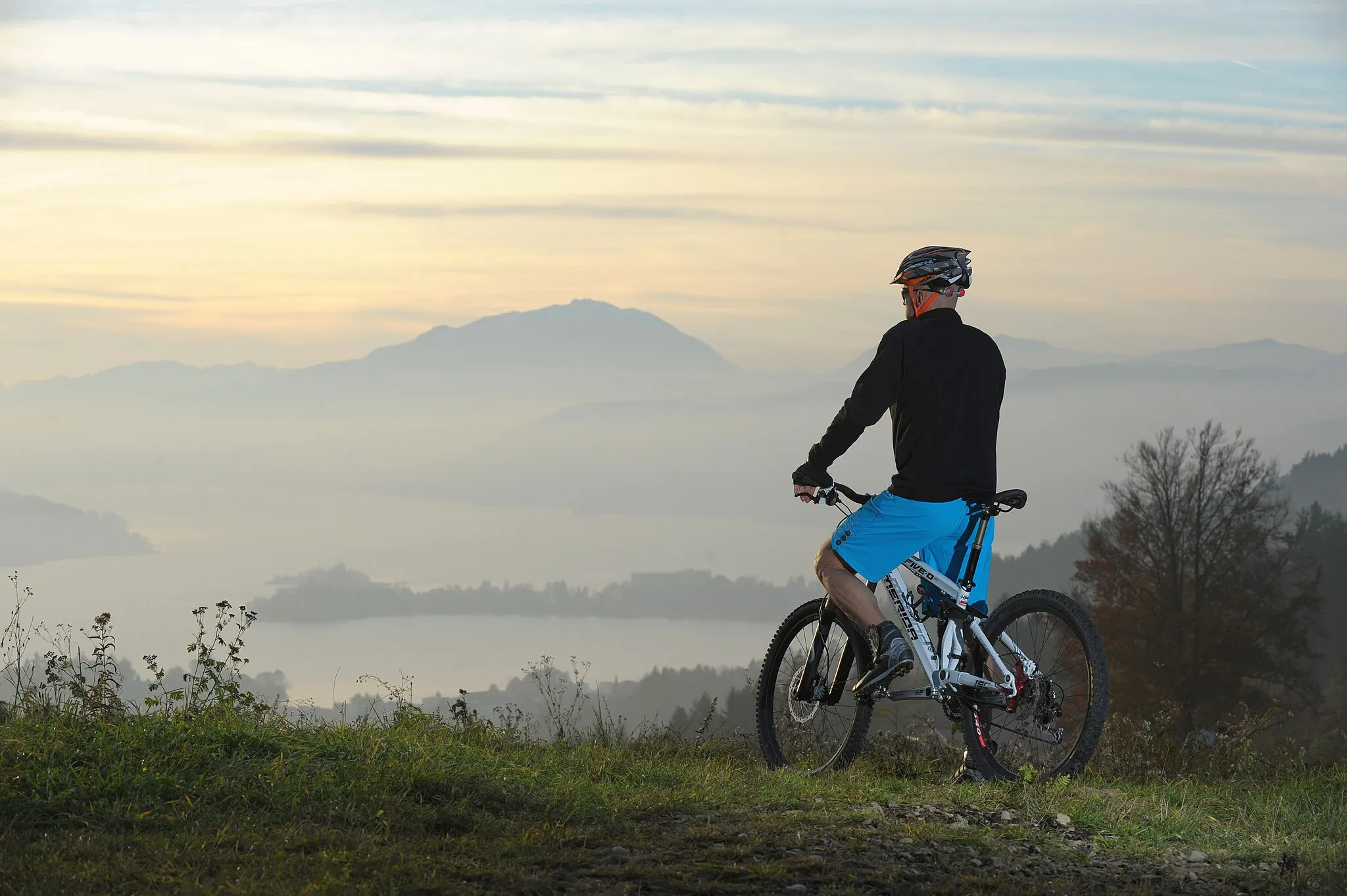
CerknicaMěstoEnjoy the views of the Cerknica Lake as you ride by.
33 km
33 km
Gorica570 mVrcholPedal through the peaceful Gorica countryside.
39 km
39 km
Peščevnjak561 mVrcholRest and relax at the Peščevnjak area during your ride.
41 km
41 km
RakekVesniceExplore the town of Rakek and its surroundings on the route.
54 km
54 km
Obli vrh700 mVrcholTake in the stunning views from the top of Obli vrh hill.
62 km
62 km
Močilnik - izvir reke LjubljaniceAtrakceVisit the magical Močilnik, the source of the Ljubljanica River.
64 km
64 km
Tičnica366 mVrcholExperience the natural beauty of Tičnica along the way.
65 km
65 km
Cíl: Stara Vrhnika Village centerVrhnika: Malebné město s přátelskými trasami a oblíbenými kopci pro cyklisty.
Cyklistické trasy z Vrhnika:
Okružní cyklistická trasa z Vrhnika Gravelová okružní cyklistická trasa Gravel Idrija Adventure Cyklotrasa z Vrhnika do hor Gravelová okružní trasa kolem Vrhnika 2 Okružní cyklistická trasa kolem Vrhnika Gravelová okružní trasa kolem Vrhnika Náročná silniční trasa okolo Vrhnika Cyklistická okružní trasa kolem Vrhnika 2 Gravel Žiri Loop
Cyklotrasy v okolí: