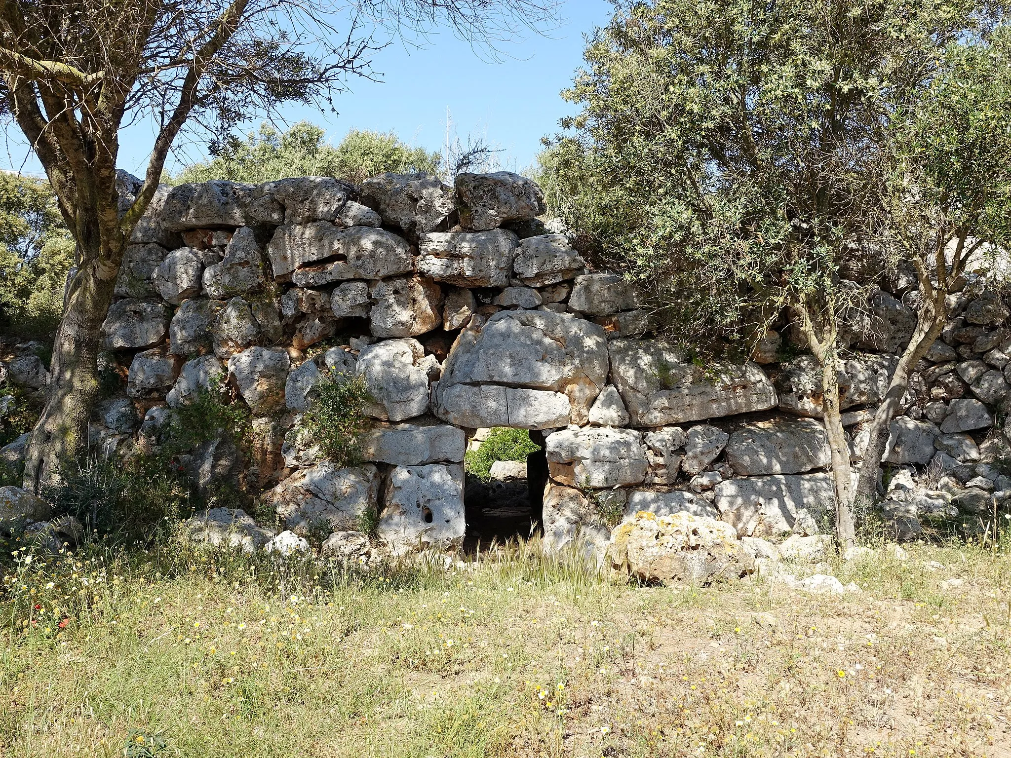
Město s bohatou cyklistickou historií
Cyklistické trasy kolem Algarinejo
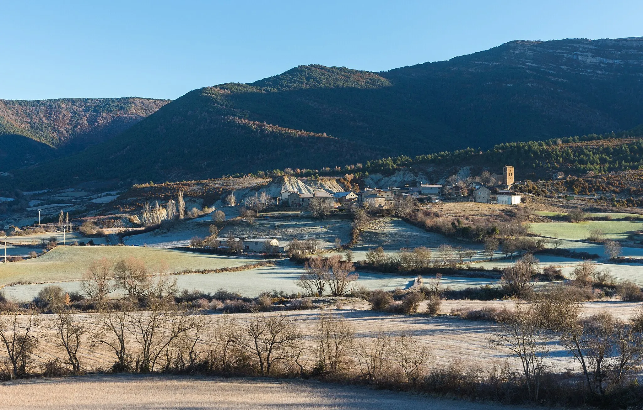
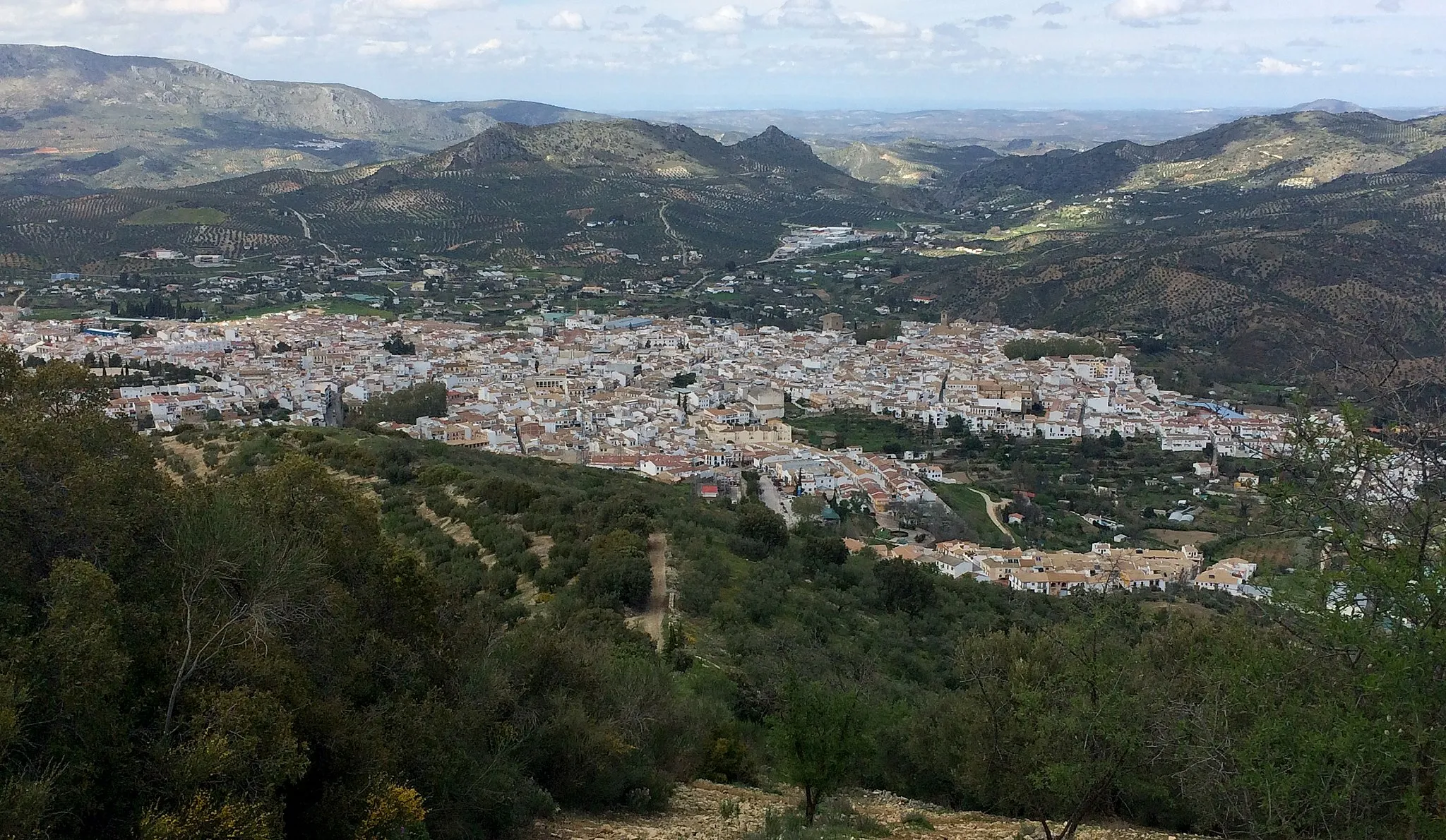
Algarinejo je malé město v Andalusii s bohatou cyklistickou historií. Cyklisté zde mohou objevovat okolní kopcovitou krajinu a užívat si klidných cest pro rekreační jízdy. Region je známý svými cyklistickými akcemi a tradicí.
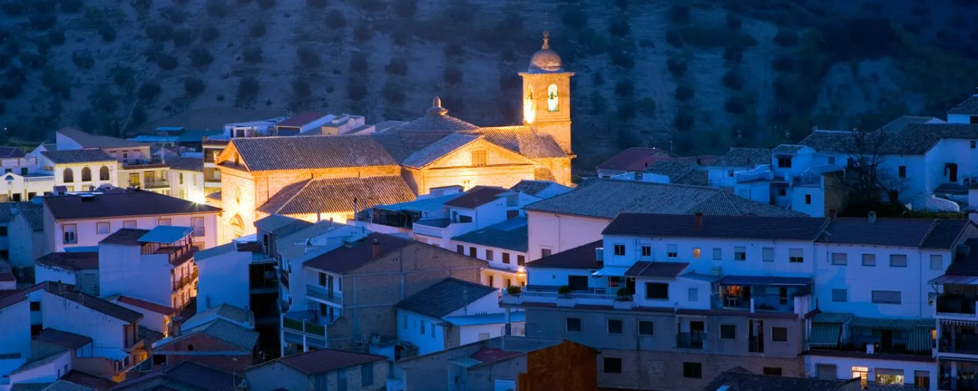
Explore the charming Priego de Córdoba on this gravel adventure
Embark on a 56 km gravel journey with 1383 m of ascent, passing by highlights such as the Castillo de Priego de Córdoba. The route offers stunning views and a unique insight into the local culture and history.
Explore the rugged terrain with stunning mountain views
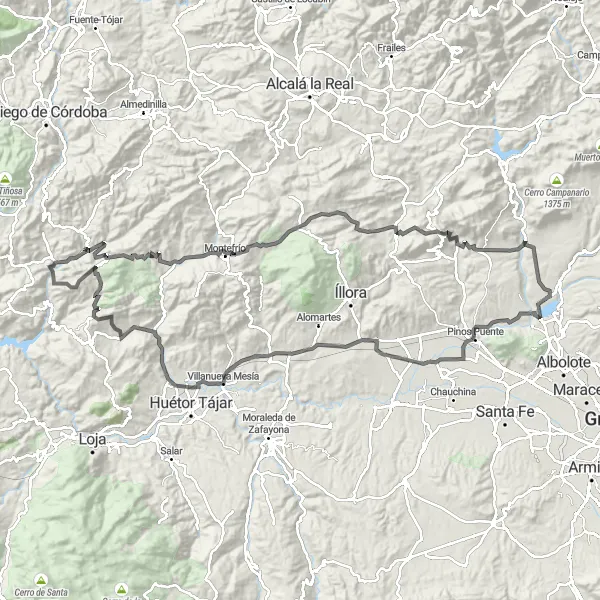
This challenging gravel route near Algarinejo offers a mix of tough ascents and thrilling descents. Pass by picturesque villages and enjoy the serene beauty of the Andalusian countryside. The highlights include the majestic Morrón de Catena and the historic Castillo de Íllora.

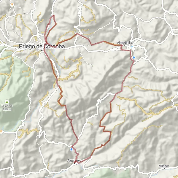
Vydejte se na 65 km dlouhou cestu s 1295 m převýšeními.
Tato cesta vám přinese krásné výhledy z La Fuente Grande a Casa de los Oficios. Zastavte se také u National Geographic Viewpoint a obdivujte krajinu kolem Algarinejo. Užijte si cyklistiku na silnici s malebnými výhledy.
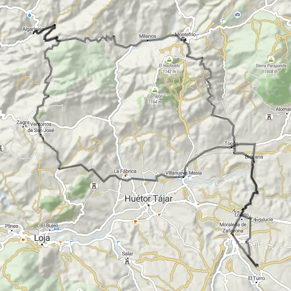
Enjoy a scenic road trip to Moraleda de Zafayona
Cycle 105 km with 1905 m of ascent, passing through Moraleda de Zafayona and Tocón. Experience the beauty of the Andalucían countryside and immerse yourself in the local traditions and cuisine.
Embark on a challenging road cycling journey to La Fuente Grande
Cycle 148 km with 2351 m of ascent, passing highlights like La Fuente Grande and Peña del Hacho. Enjoy the scenic beauty of the Andalucían countryside and challenge yourself with the steep climbs and descents along the route.
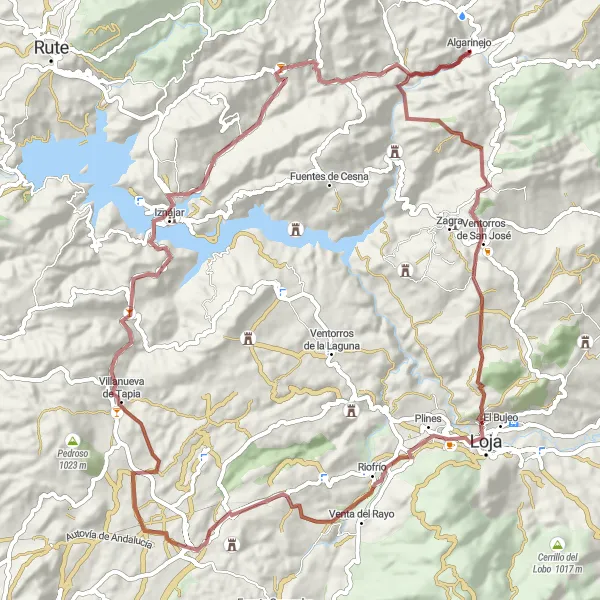
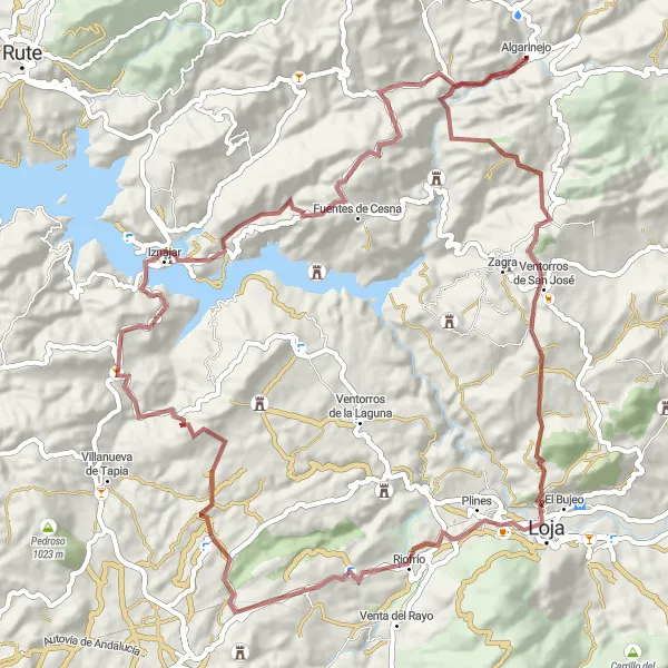
Embark on an exciting gravel adventure near Algarinejo
Experience an 87 km gravel route with 1907 m of ascent, passing highlights like Algarinejo and Alcazaba de Loja. Enjoy the rugged terrain and stunning views along the way, making it a memorable cycling experience.
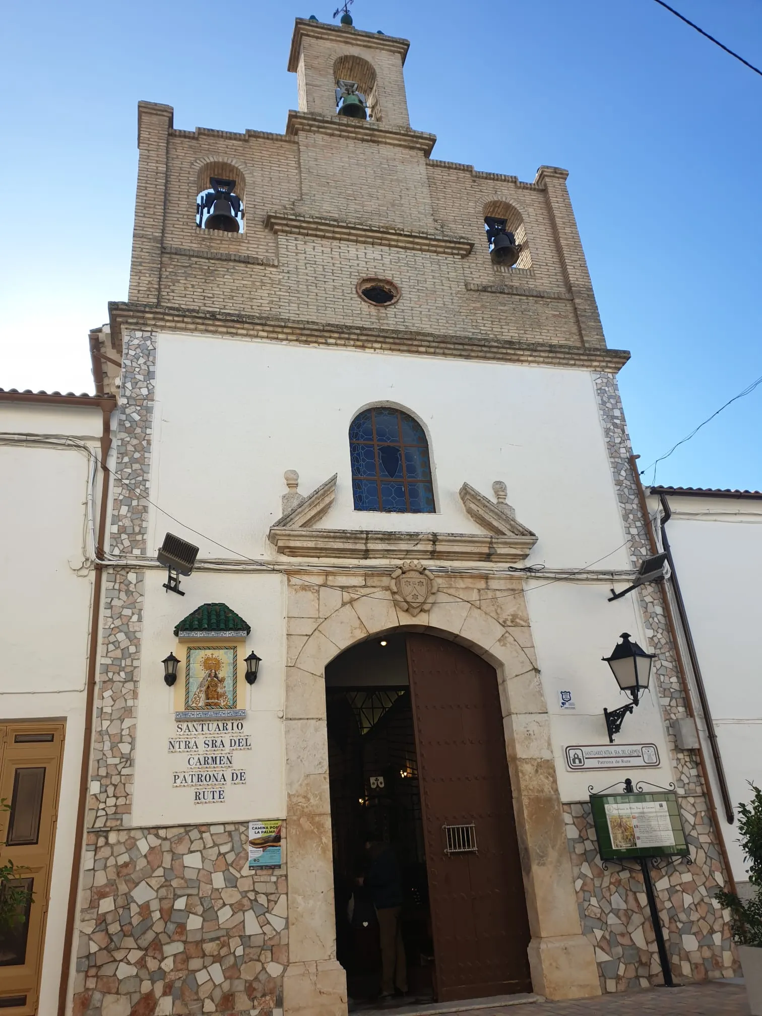
Scenic Road Trip to Rute
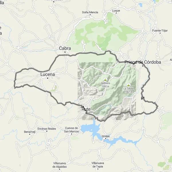
Discover the beauty of Rute on this scenic road trip
Cycle 116 km with 2068 m of ascent, passing through highlights like Rute and Fuente del Río. Enjoy the picturesque landscapes and serene atmosphere of the Andalucían countryside, making it a perfect cycling getaway.
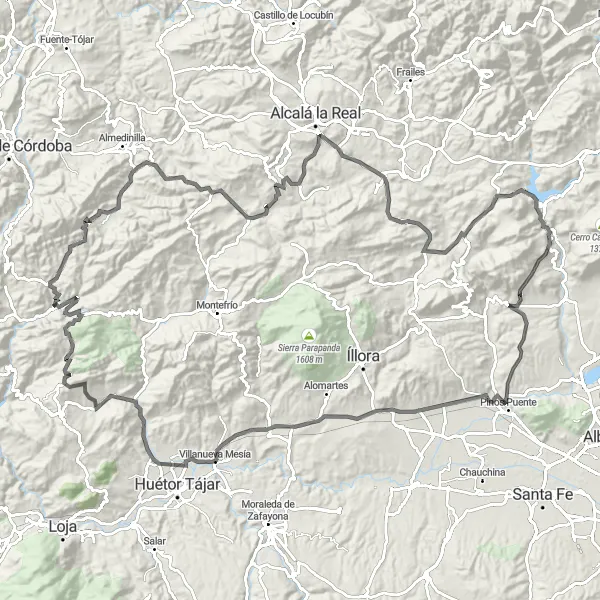
Embark on a thrilling road cycling journey through Andalusia
This road cycling route near Algarinejo is perfect for riders seeking a challenging yet rewarding experience. Admire the stunning landscapes as you pedal through quaint villages and lush valleys. Highlights include the iconic Morrón de Catena and the charming town of Moclín.
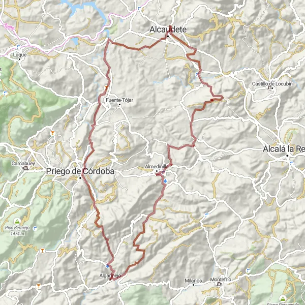
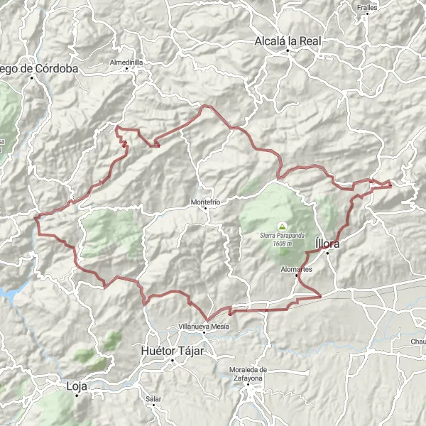
Vydejte se na 100 km dlouhou jízdu na silnici s 2339 m převýšeními.
Tato cesta vám nabídne nádherné výhledy na Castillo de Priego de Córdoba a další historické památky. Užijte si malebné výhledy na Mirador del Adarve a navštivte město Alcaudete a Almedinilla s jejich bohatou historií.
Experience the beauty of nature on this off-road cycling adventure
This scenic gravel route starting from Algarinejo offers a wonderful mix of natural landscapes and cultural attractions. Pedal through rolling hills and picturesque villages while enjoying the tranquility of the Andalusian countryside. Highlights include the stunning Cerro Redondo and the historic Castillo de Iznájar.
Cyklotrasy v okolí:


Okolní oblasti: