Road Route from Montizón
Cyklistická trasa pro road začínající v Montizon
Enjoy a scenic road cycling experience starting near Montizón and discover the beauty of Andalucía.
Mapa

Cycle 86 km with 1282 meters of ascent on this road route through the picturesque countryside. Pass through Arroyo del Ojanco, Prados de Armijo, Beas de Segura, and Chiclana de Segura before reaching Montizón. Admire the stunning landscapes and immerse yourself in the rich history of the region during this unforgettable ride.
road
86 km
1282 m
Náročné
Profil trasy
Zajímavosti na trase
0 km
0 km
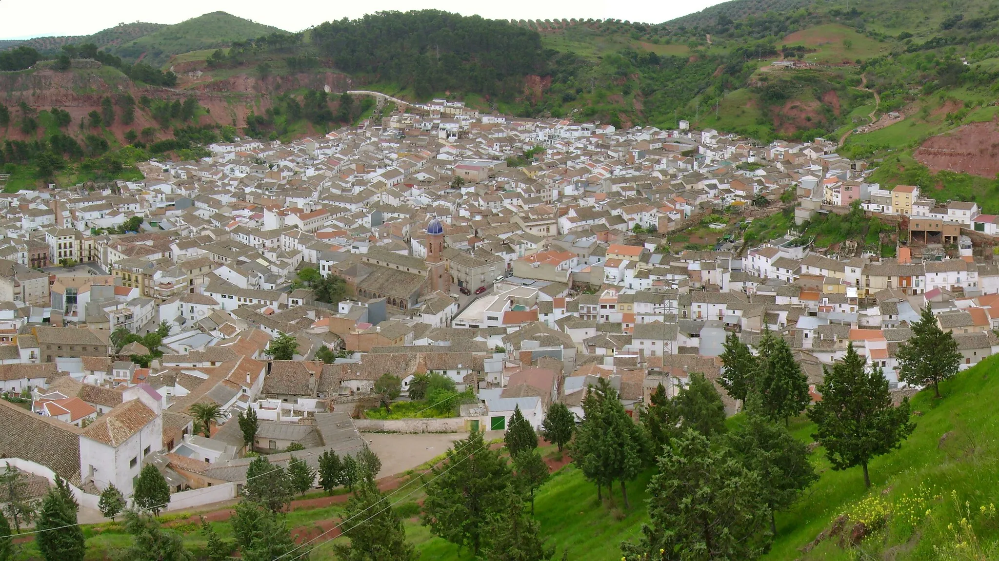
Start: Montizón Village centerMontizón: Výchozí bod pro náročné cyklistické výlety po Sierra de Cazorla.
Montizón je malebné městečko v Andalusii, které se nachází v blízkosti Sierra de Cazorla a nabízí krásné cyklistické trasy po okolních kopcích a lesích. V okolí se nachází několik známých cyklistických bodů a významných stoupání, která lákají zkušené cyklisty. Montizón je ideálním výchozím bodem pro náročné cyklistické výlety po Andaluských horách.0 km
0 km
MontizónVesniceStart your journey in the lovely town of Montizón.
29 km
29 km
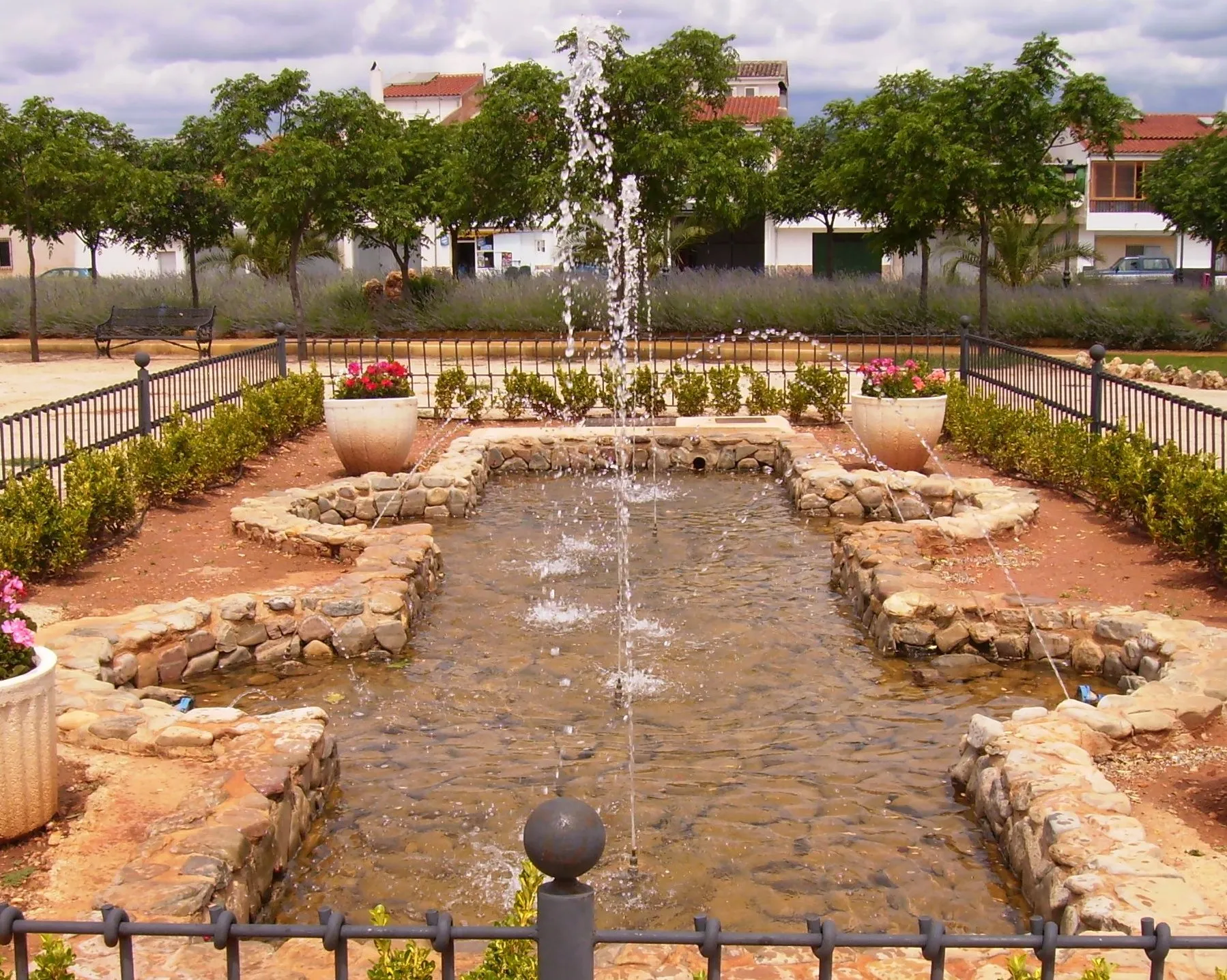
Arroyo del OjancoVesniceDiscover the hidden gems of Arroyo del Ojanco village.
39 km
39 km
Prados de ArmijoVesniceExplore the natural beauty of Prados de Armijo.
53 km
53 km
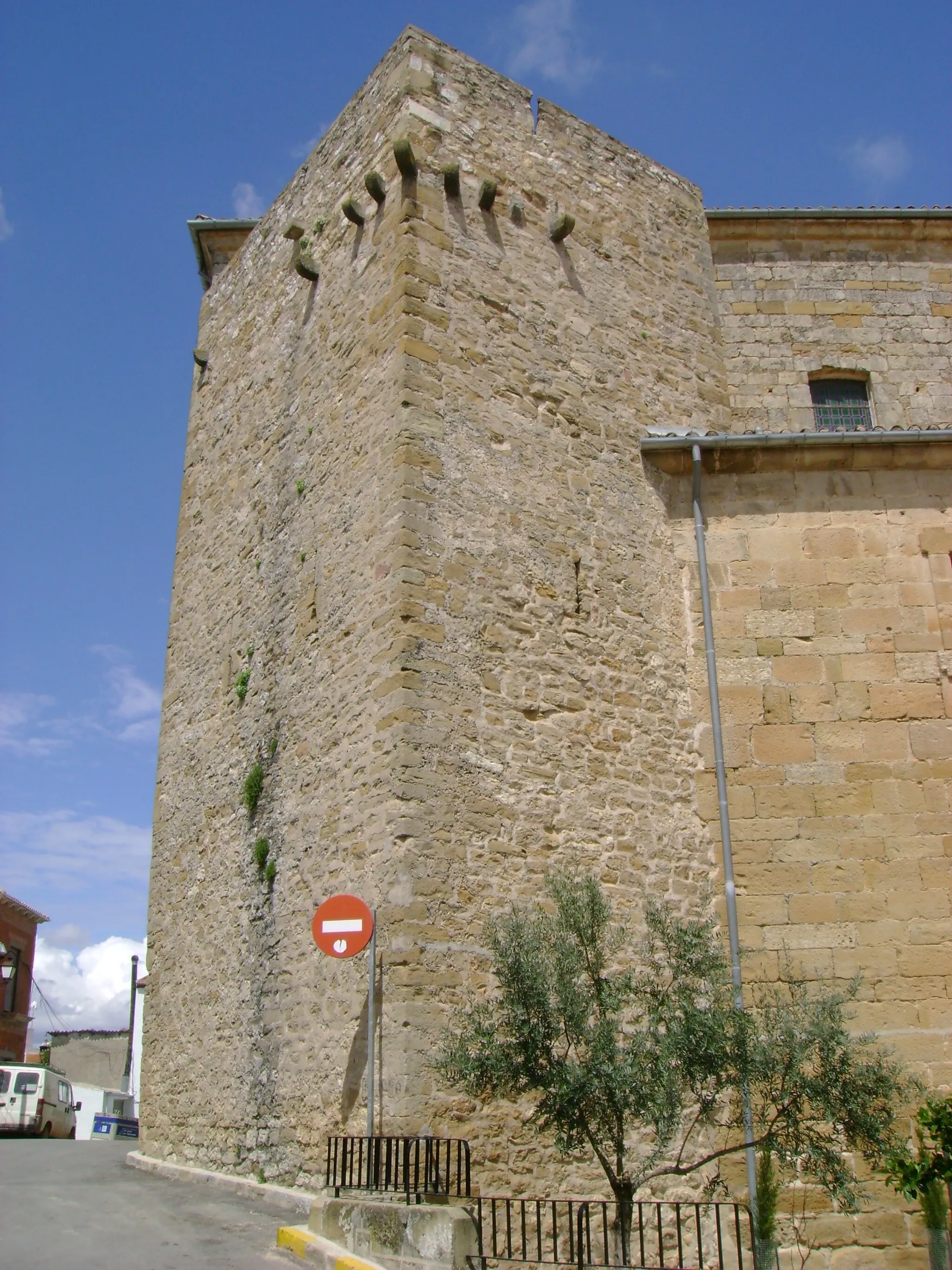
Beas de SeguraVesnicePass through the charming streets of Beas de Segura.
75 km
75 km
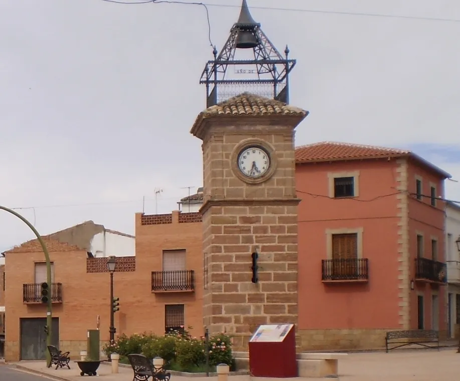
Chiclana de SeguraVesniceVisit the historic sights of Chiclana de Segura.
86 km
86 km
Cíl: Montizón Village centerMontizón: Výchozí bod pro náročné cyklistické výlety po Sierra de Cazorla.
Cyklistické trasy z Montizon:
Gravelová cyklistická trasa kolem Montizónu Gravel Route from Montizón Náročná cyklistická trasa v okolí Montizónu Jízda kolem Montizónu a okolí Road Route from Montizón Královská cesta Andalusie na kole Okruh kolem Montizónu a okolí Another Gravel Route from Montizón Procestujte Jižní Andalusii na kole Trasa kolem Sorihuela del Guadalimar
Cyklotrasy v okolí: