Gravel Route through Cantabria
Cyklistická trasa pro gravel začínající v Reocin
Exciting adventure through beautiful landscapes
Mapa
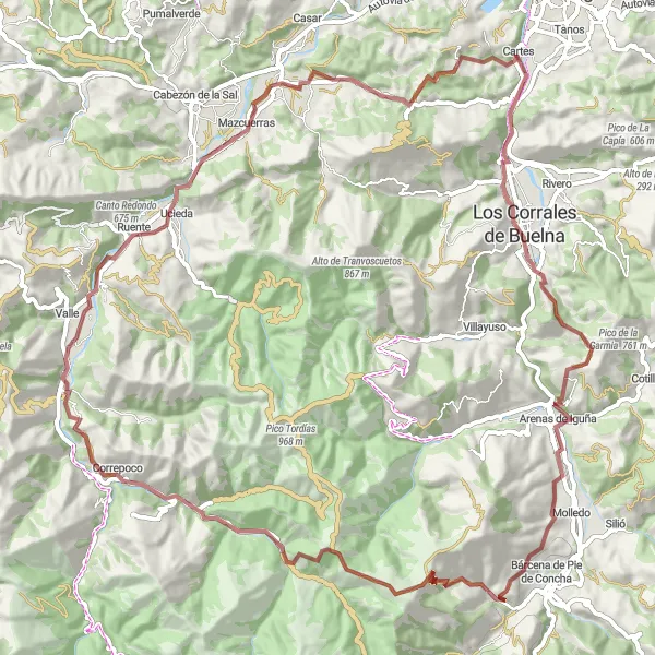
Explore the stunning Cantabrian region on this challenging 91 km gravel route with a total ascent of 2170 meters. Pass by historical villages, lush forests, and breathtaking mountain views. Experience the culture and nature of Cantabria in a unique way on two wheels.
gravel
91 km
2170 m
Náročné
Profil trasy
Zajímavosti na trase
0 km
0 km
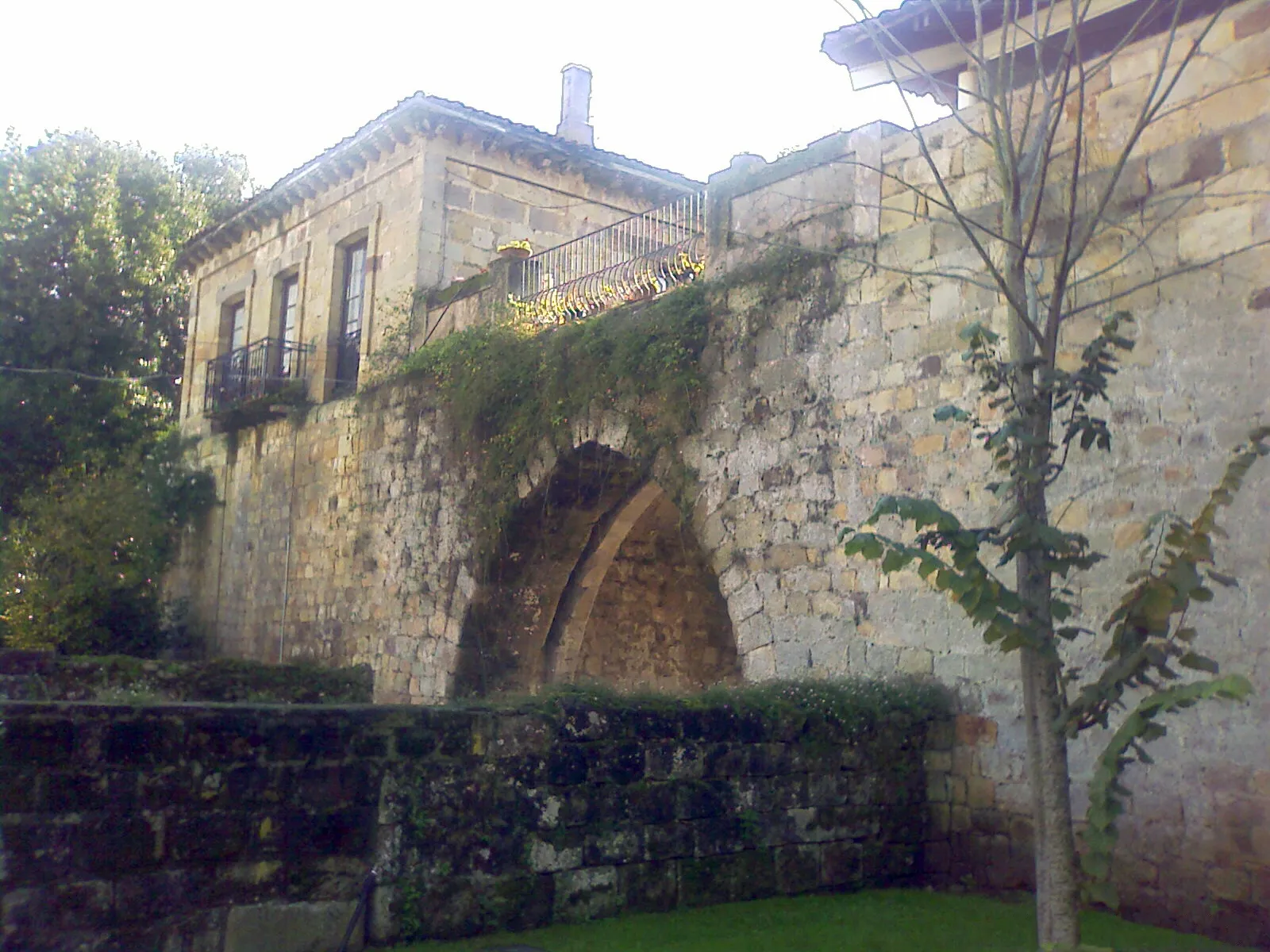
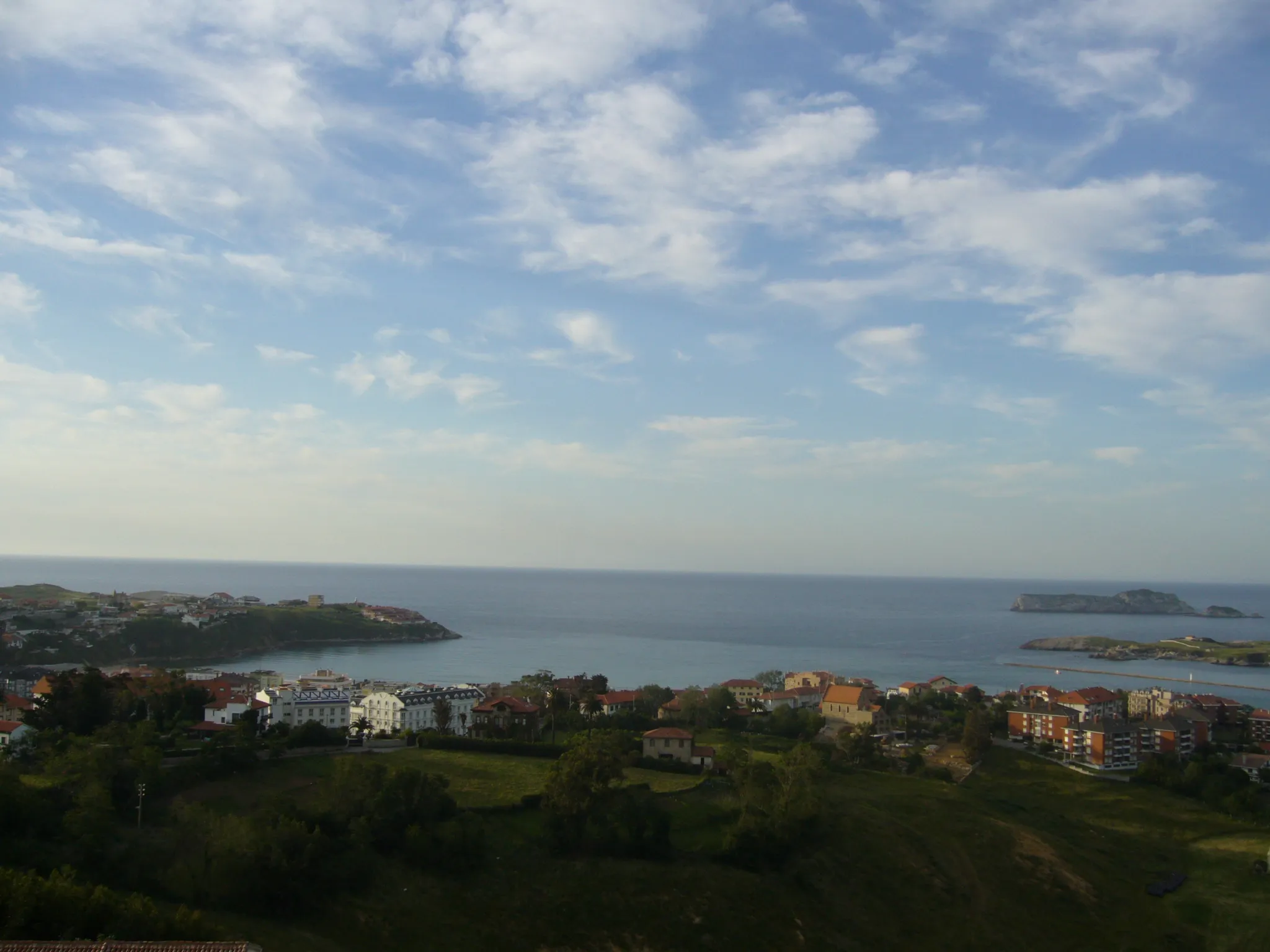
Start: Cartes Village centerReocín: Cyklistický odpočinek u moře
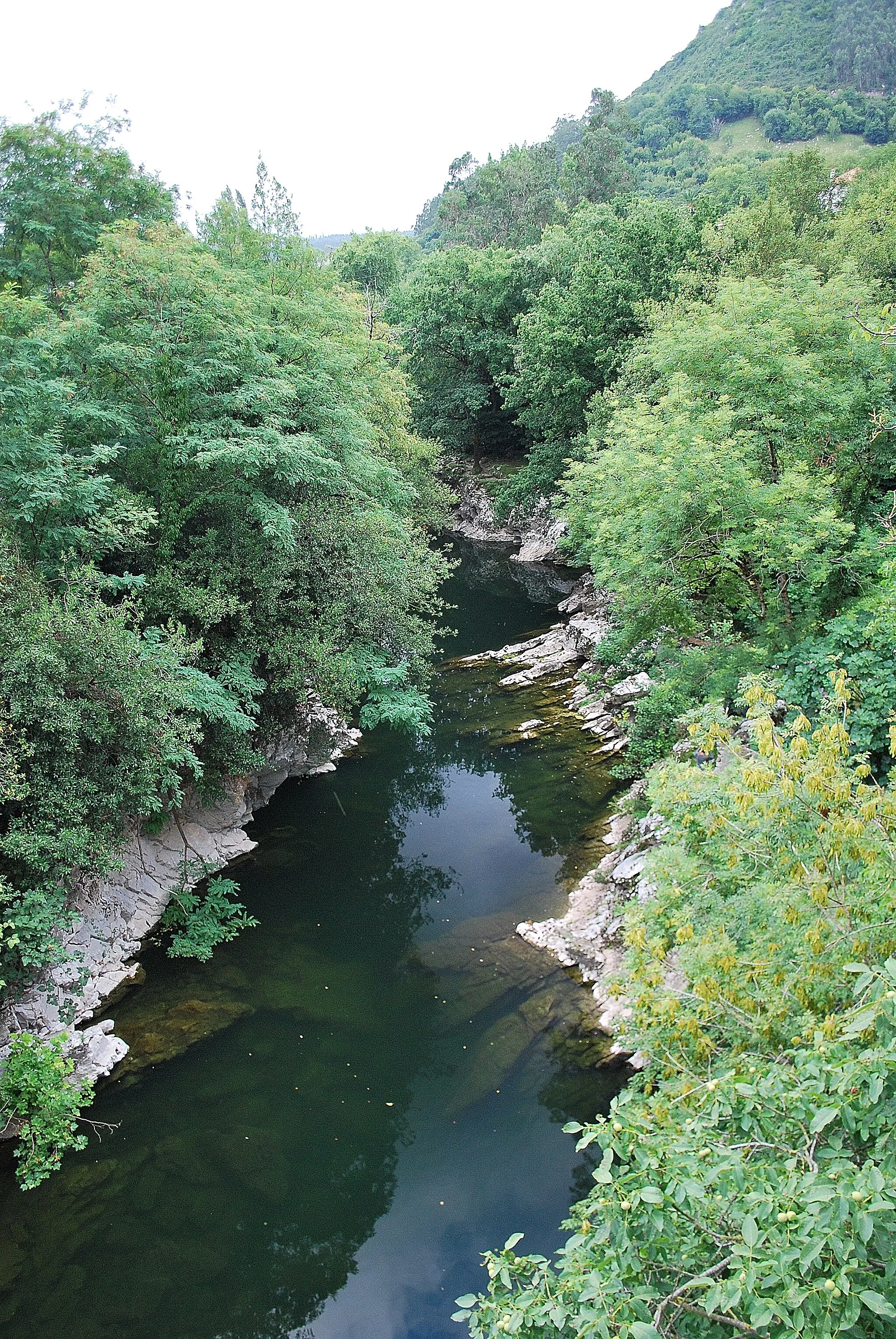
Reocín je malebná vesnice v regionu Cantabria ve Španělsku. Cyklisté zde mohou vyrazit na nenáročné trasy okolo řeky Besaya nebo navštívit nedalekou pláž Playa de Tagle. Lokalita nabízí relaxační atmosféru pro cyklistické výlety.5 km
5 km
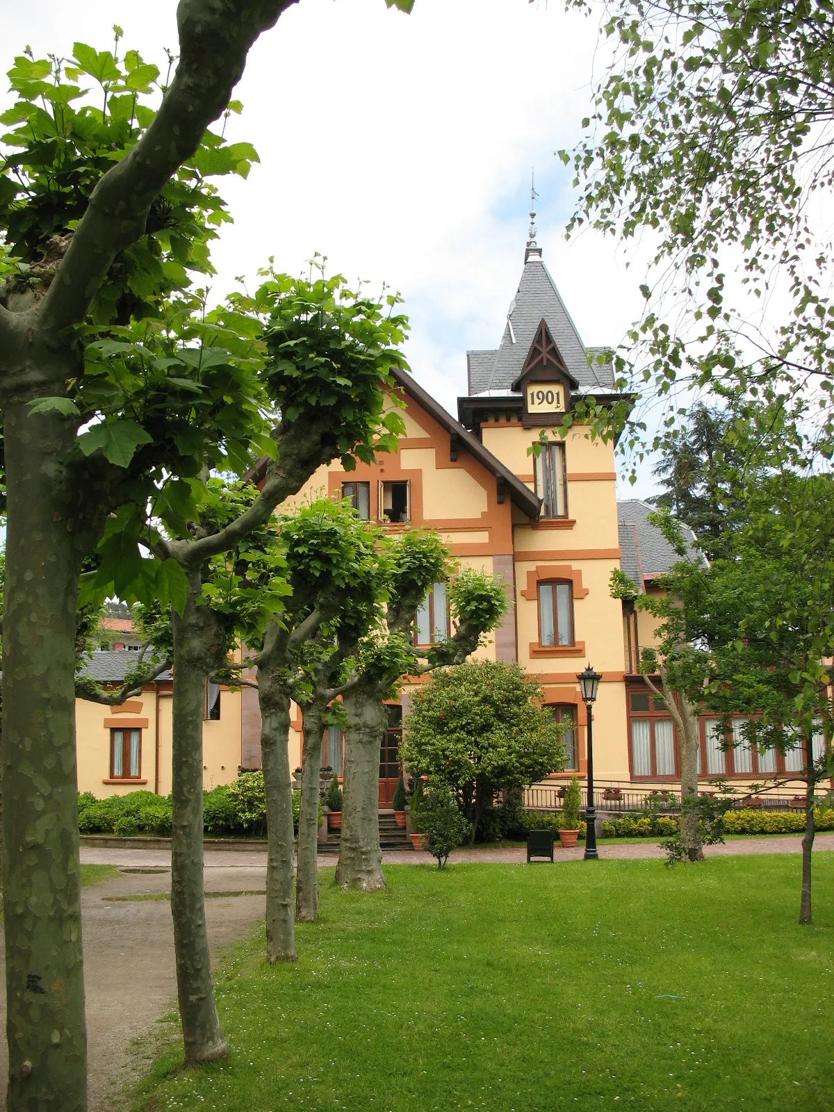
BarrosVesniceBarros is a charming village with traditional architecture and a tranquil atmosphere.
45 km
45 km
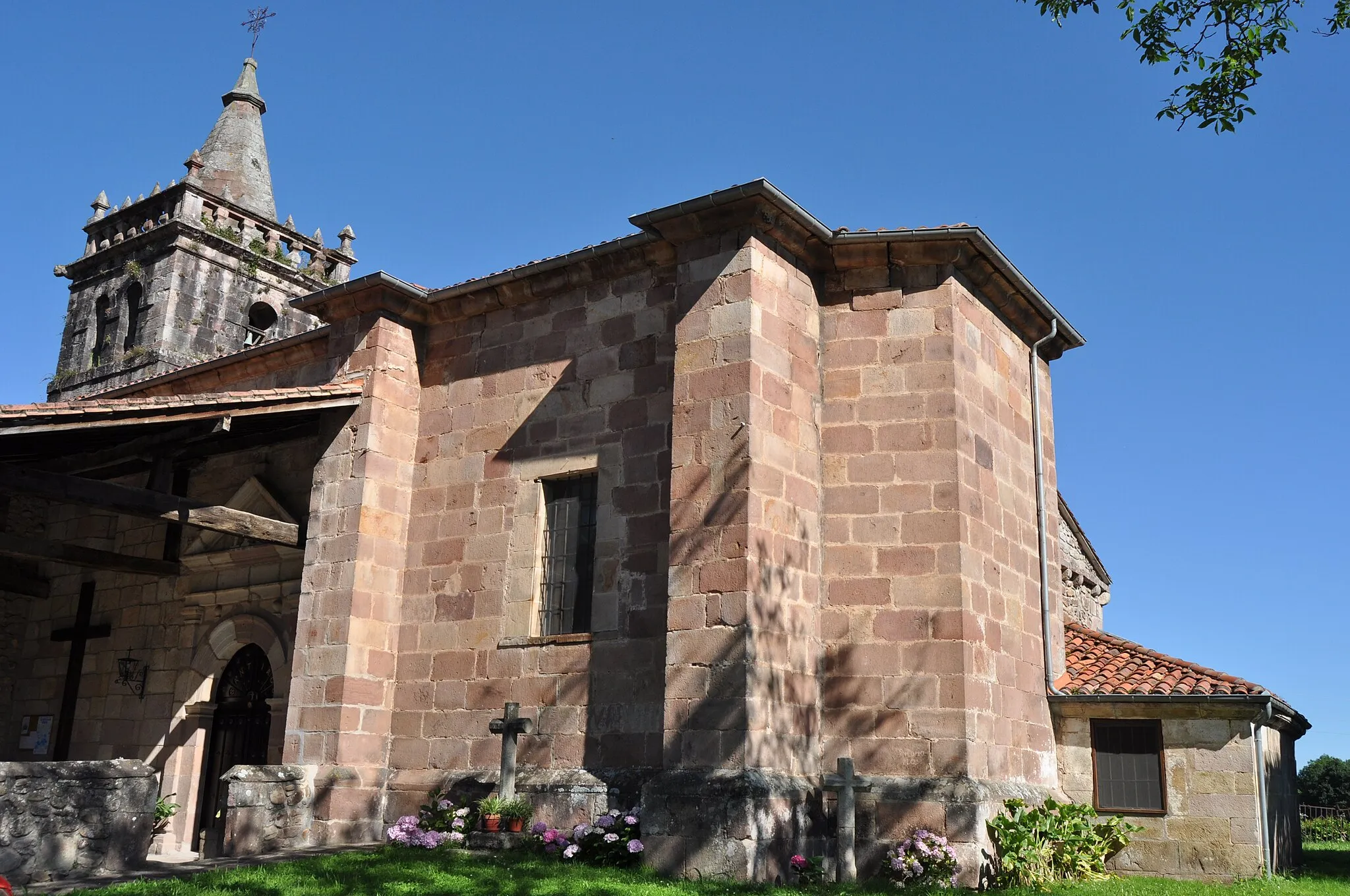
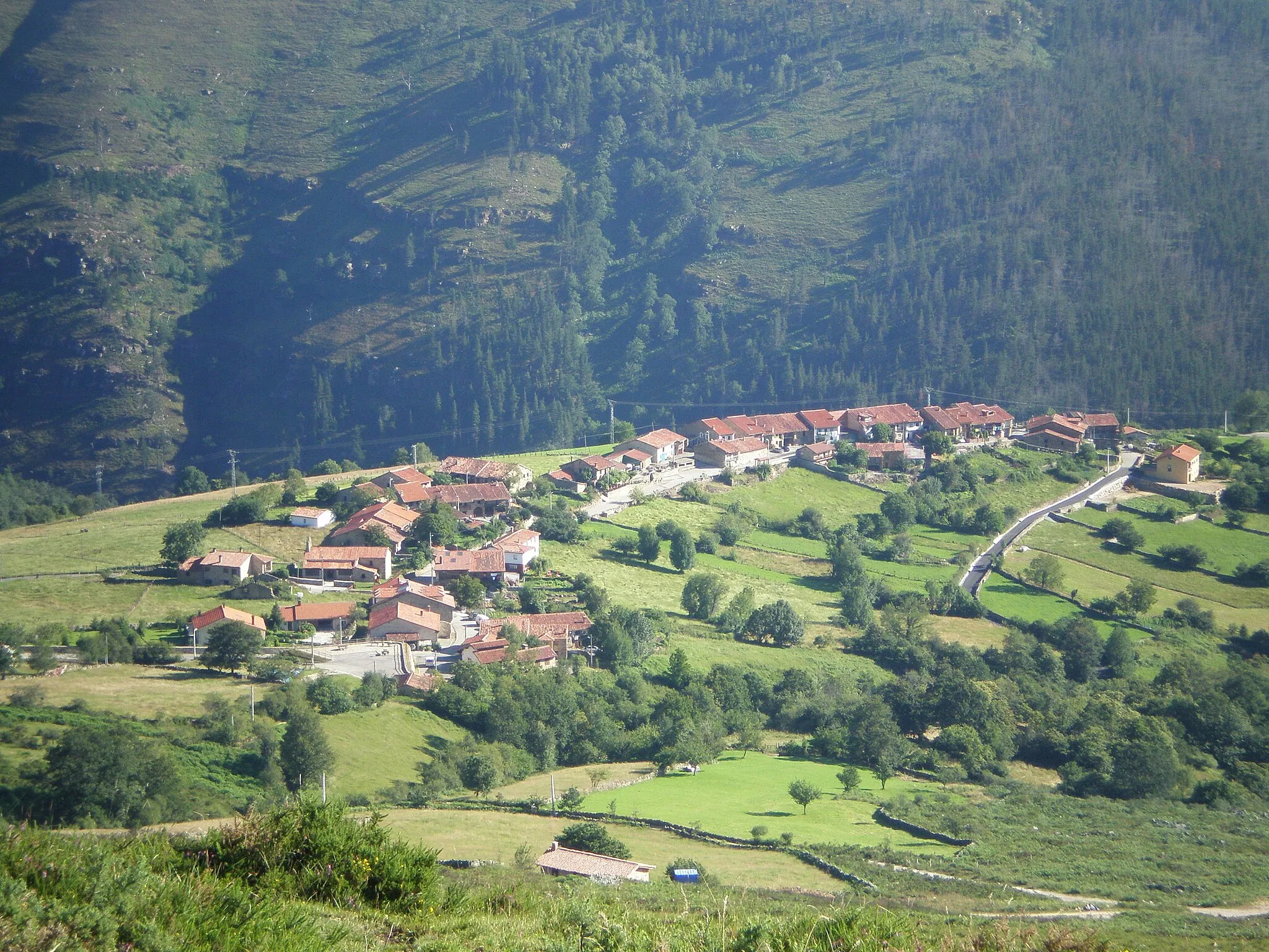
Bárcena MayorVesniceBárcena Mayor is a well-preserved medieval village with narrow streets and stone houses.
53 km
53 km
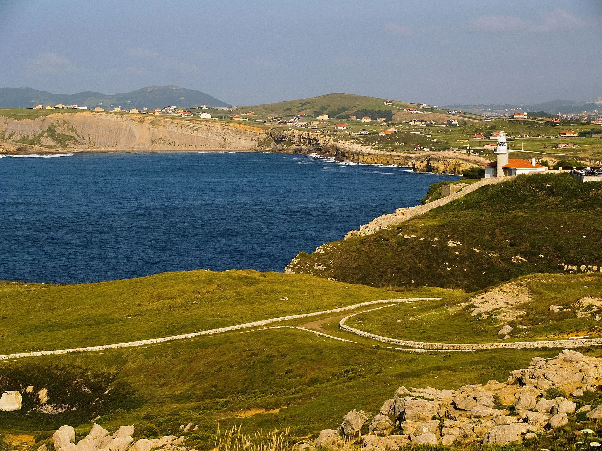
CorrepocoVesniceCorrepoco offers panoramic views of the surrounding mountains and valleys.
66 km
66 km
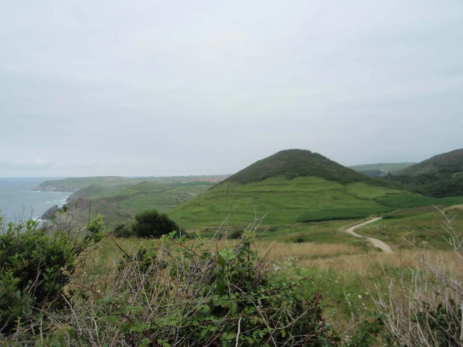
Picu la Cuchilla415 mVrcholPicu la Cuchilla is a challenging uphill section with rewarding views at the top.
87 km
87 km
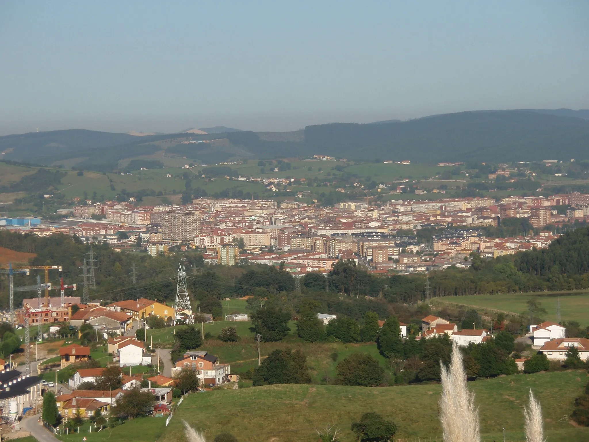
MercadalVesniceMercadal is a picturesque village with a lively local market and traditional cuisine.
91 km
91 km
Cíl: Cartes Village centerReocín: Cyklistický odpočinek u moře
Cyklistické trasy z Reocin:
Těžká trasa kolem Mercadalu a Toporiasu Trasa pro grabel kola Reocín - Barros - San Juan de Raicedo - Santa Olalla - Calga - Jerrapiel Cyklotrasa Riocorvo - Barros Cyklotrasa Bedicó - Vispieres Gravel Tour around Reocín Silniční tůra kolem Oruña a Escobedo de Camargo Trasa skrz Renedo de Piélagos a Los Pandos Kolečko okolo Oruña a Alto de la Gigüela Gravel Route through Cantabria Cyklotrasa Campuzano - Jerrapiel
Cyklotrasy v okolí: