Road Route from Ponts to Gualter
Cyklistická trasa pro road začínající v Ponts
Embark on an epic road cycling adventure through medieval castles and historic sites.
Mapa
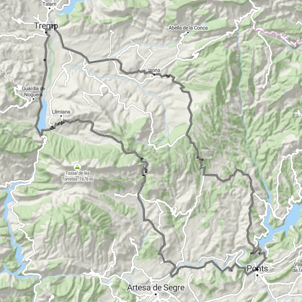
Cycle through charming towns and challenging terrains, with a total ascent of 2366m over 127km. Explore historical landmarks like Tossal del Conill and Santa Anna de l'Hostal Roig, while enjoying the stunning views of Roca Regina and Gualter.
road
127 km
2366 m
Náročné
Profil trasy
Zajímavosti na trase
0 km
0 km
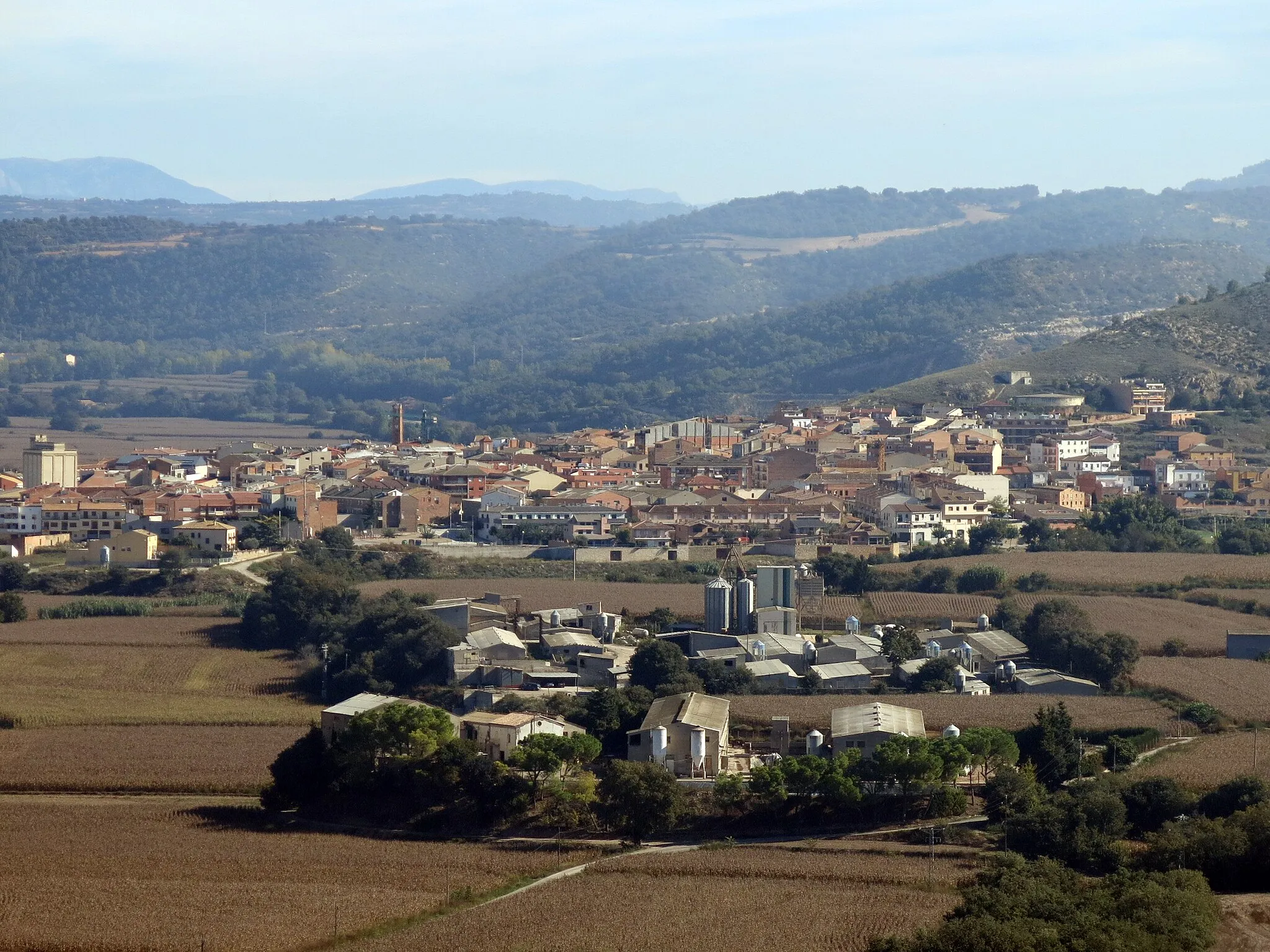
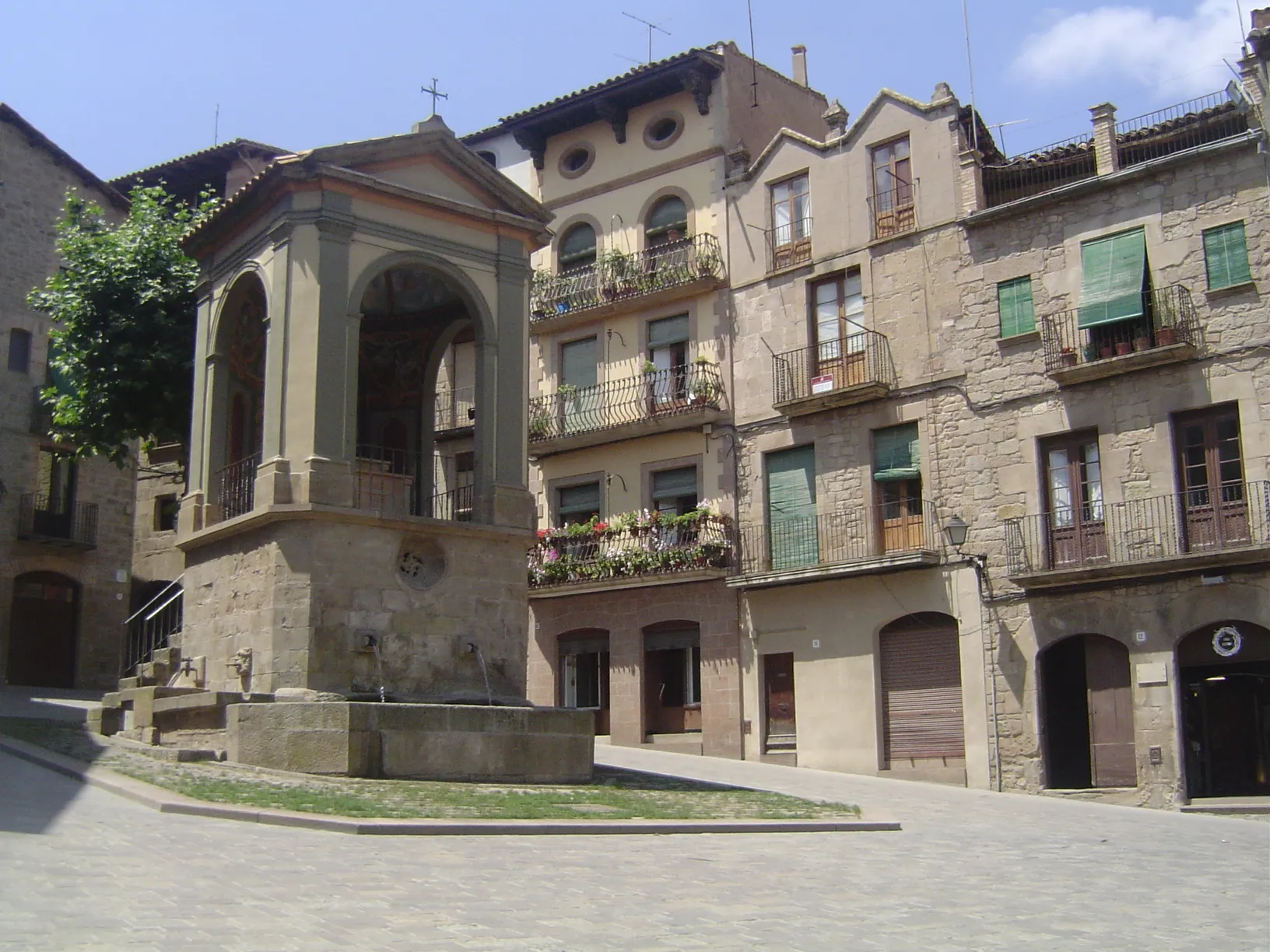
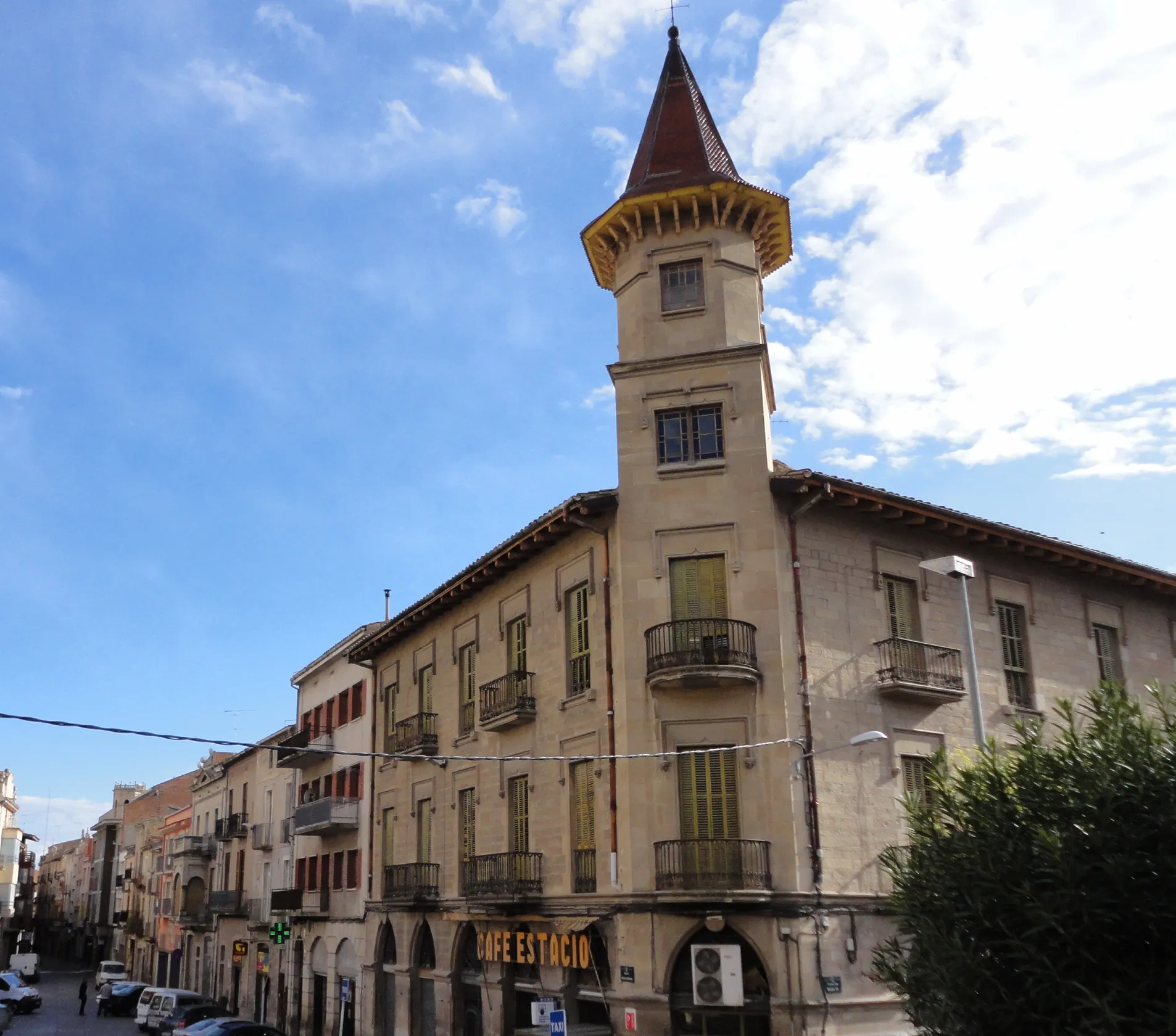
Start: Ponts City centerPonts: Variabilní terén a známé stoupání Alto de la Comella
Ponts je malebné městečko v Katalánsku, které leží na břehu řeky Segre. Okolní krajina nabízí pestré terény pro cyklisty všech úrovní. Nedaleko se nachází známý stoupání Alto de la Comella, které si získalo popularitu mezi cyklisty.13 km
13 km
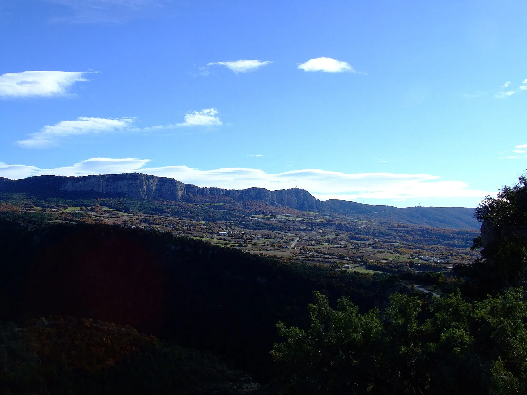
Tossal del Conill461 mVrcholAdmire the panoramic views from Tossal del Conill
14 km
14 km
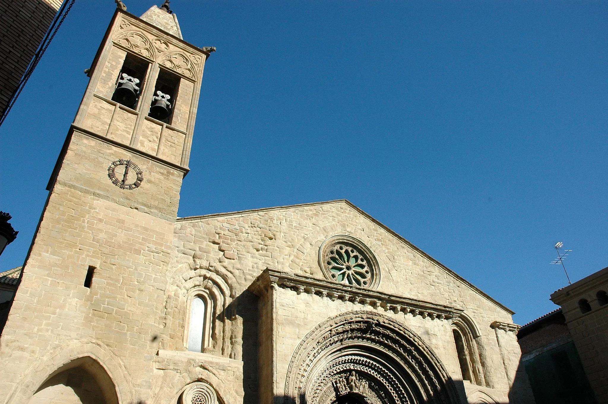
el Pont d'AlentornVesniceDiscover the medieval charm of el Pont d'Alentorn
37 km
37 km
lo Castell dels Moros1136 mHradExplore the ancient ruins of lo Castell dels Moros
37 km
37 km
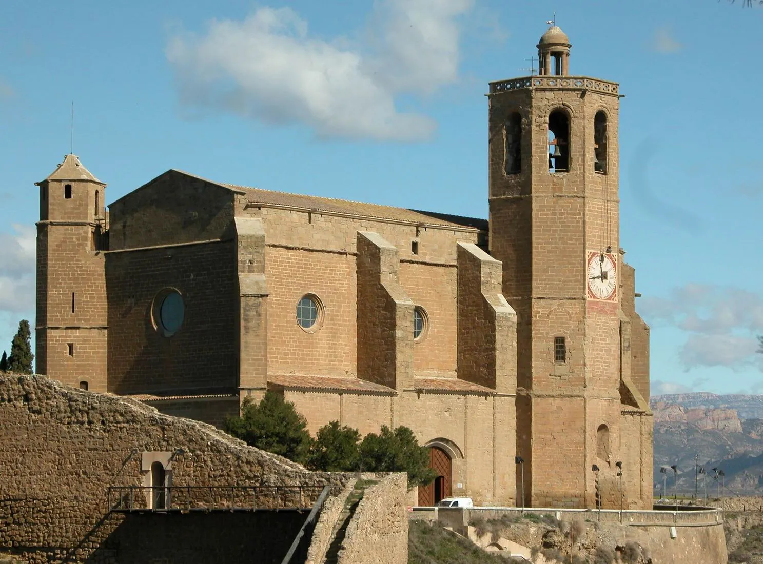
Santa Anna de l'Hostal RoigZřícenina hraduVisit the historic site of Santa Anna de l'Hostal Roig
45 km
45 km
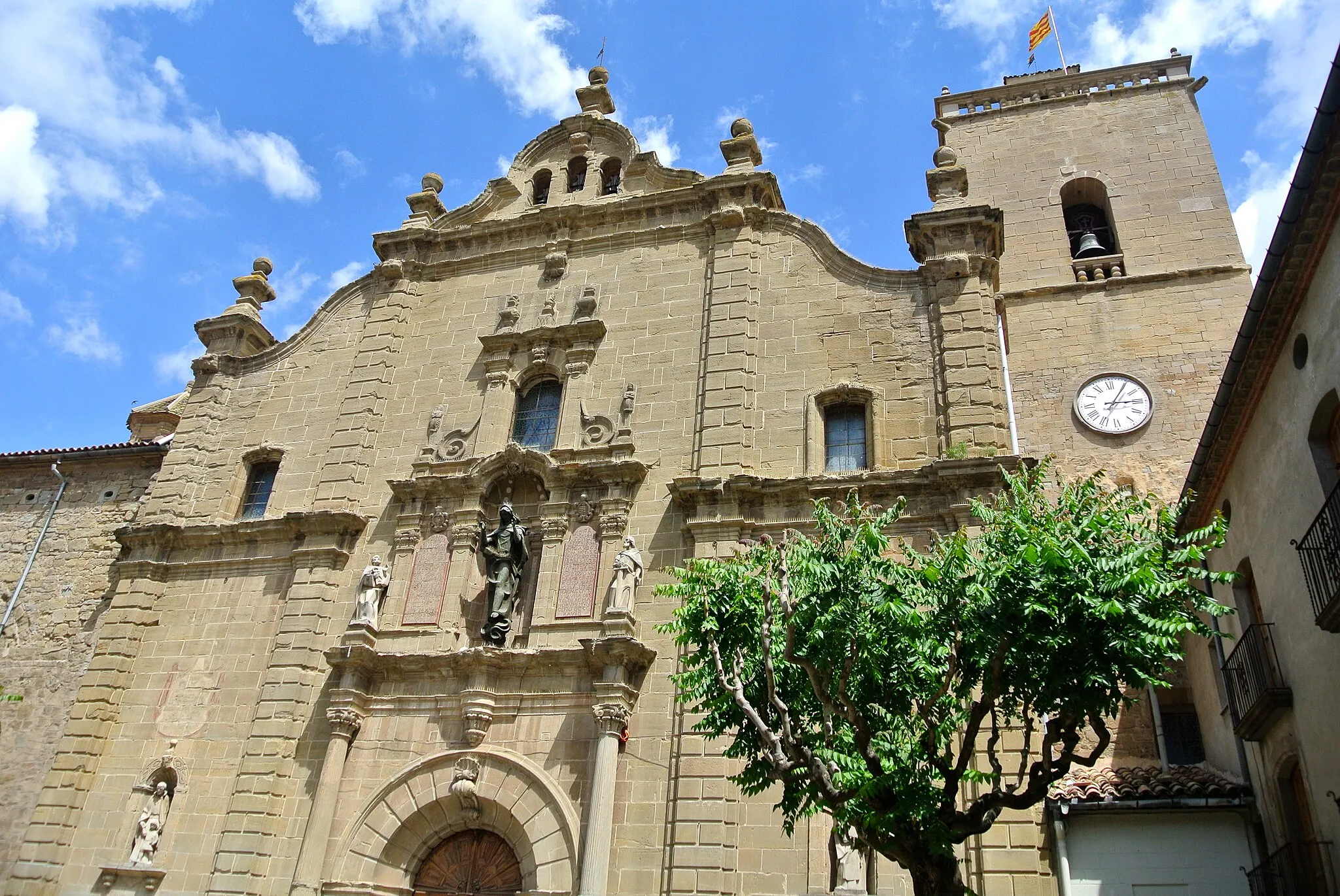
Sant Cristòfol de la VallVesniceExperience the beauty of Sant Cristòfol de la Vall
53 km
53 km
Roca ReginaVýhledAdmire the natural beauty of Roca Regina
63 km
63 km
Tossal d'Alta-riba463 mVrcholDiscover the ancient ruins of Tossal d'Alta-riba
63 km
63 km
PuigcercósVesniceExplore the rugged terrains of Puigcercós
73 km
73 km
Serrat de l'Aspre491 mVrcholEnjoy the scenic landscapes of Serrat de l'Aspre
81 km
81 km
ConquesVesniceCycle through the charming town of Conques
94 km
94 km
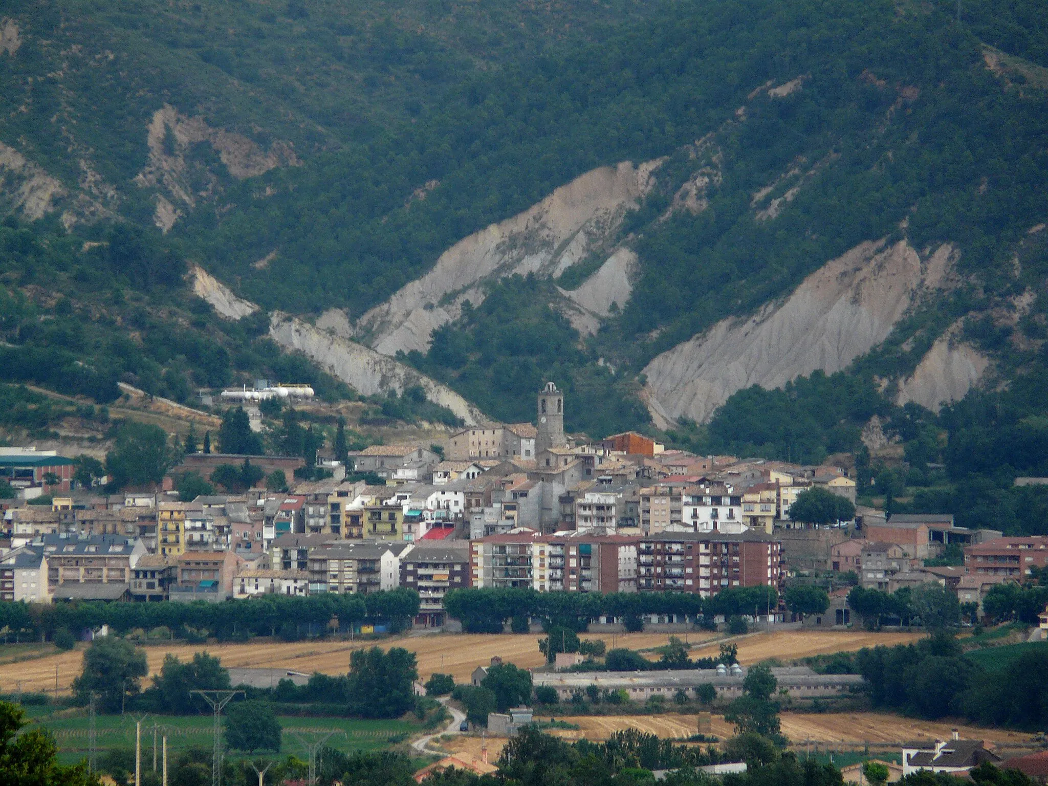
Benavent de la ConcaVesniceAdmire the stunning views from Benavent de la Conca
96 km
96 km
Coll de Comiols1101 mPrůsmykExperience the beauty of Coll de Comiols
104 km
104 km
FolquerVesniceDiscover the ancient ruins of Folquer
110 km
110 km
Tossal de la Santa715 mVrcholAdmire the panoramic vistas from Tossal de la Santa
119 km
119 km
Serrat de Gualter653 mVrcholExplore the rugged terrains of Serrat de Gualter
124 km
124 km
GualterVesniceDiscover the hidden gem of Gualter
127 km
127 km
Cíl: Ponts City centerPonts: Variabilní terén a známé stoupání Alto de la Comella
Cyklistické trasy z Ponts:
Silniční cyklotrasa Ponts Gravelový okruh kolem Oliola Road Route from Ponts to Puig d'Estany Gravel Route from Ponts to Plandogau Road Route from Ponts to Gualter Kolo kolem Oliola Gravel Route from Ponts to Sanaüja Castle Gravel Route from Ponts to Serra del Castellar Cesta kolem Ponts na silnici Gravelová cyklotrasa Ponts
Cyklotrasy v okolí: