Mountain Gravel Expedition: Villar del Arzobispo Loop
Cyklistická trasa pro gravel začínající v Villar del Arzobispo
Challenging gravel route through rugged mountains and hidden valleys
Mapa
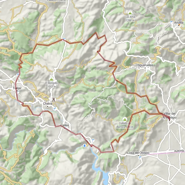
Navigate the remote Collado de Barrera, Tuéjar, and Ahillas on this 73 km gravel route with 1626 m of ascent. The highlight is the scenic Loma del Zahorí climb.
gravel
73 km
1626 m
Náročné
Profil trasy
Zajímavosti na trase
0 km
0 km
Start: Villar del Arzobispo Village centerVillar del Arzobispo: Venkovská cyklojízda
Villar del Arzobispo je vhodným výchozím bodem pro cyklistiku v příjemném venkovském prostředí. Oblast nabízí zajímavé cesty a stezky pro horská kola. V blízkosti jsou známá horská stoupání a atraktivní trasy pro trénink i turistiku.0 km
0 km
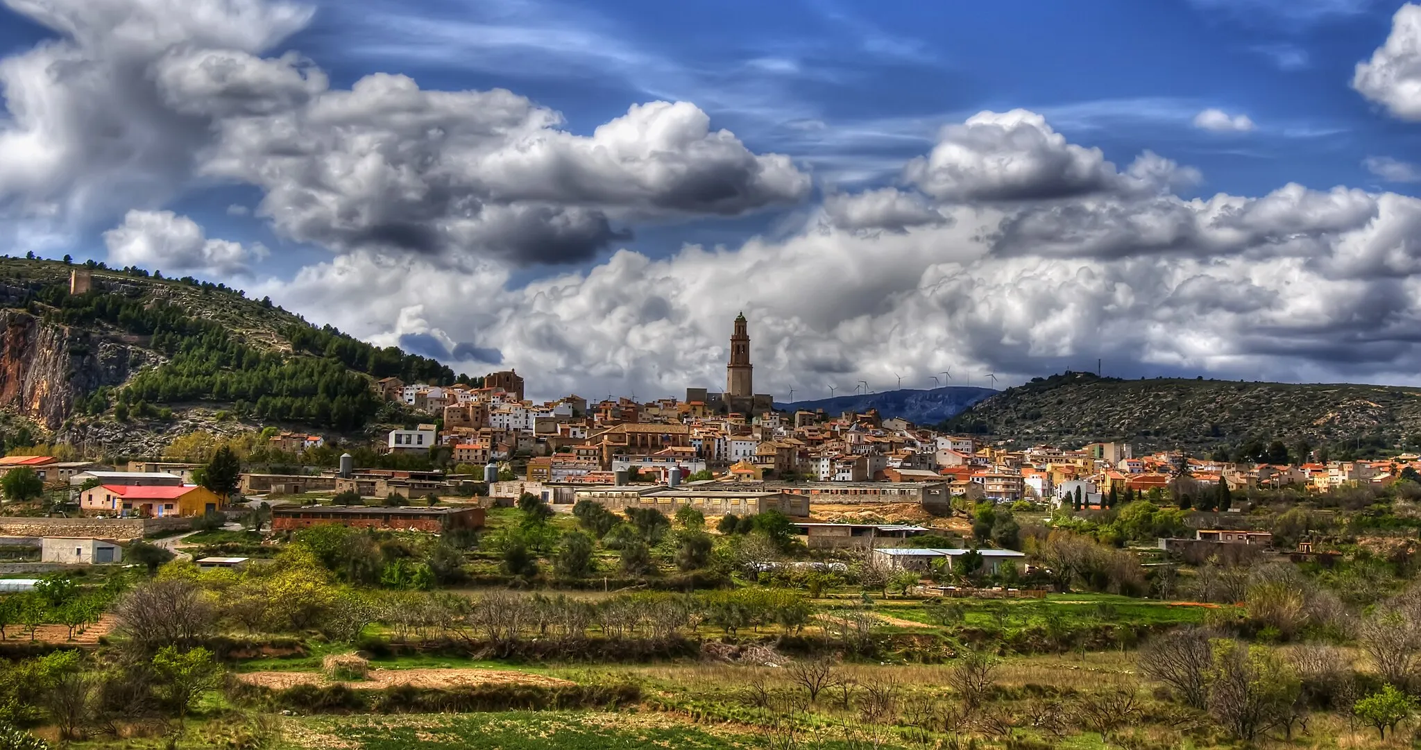
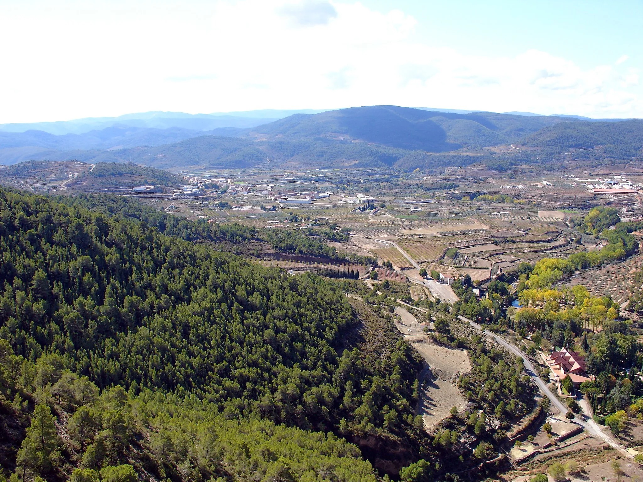
Villar del ArzobispoVesniceStart your mountain gravel expedition in the charming town of Villar del Arzobispo, surrounded by stunning natural landscapes and rugged terrain.
6 km
6 km
Collado de Barrera694 mPrůsmykThe Collado de Barrera offers a remote and challenging trail for experienced off-road cyclists, with breathtaking views of the surrounding mountains.
21 km
21 km
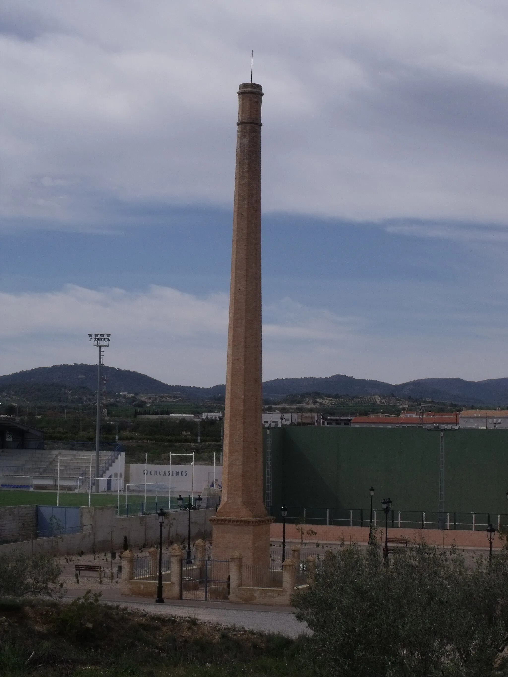
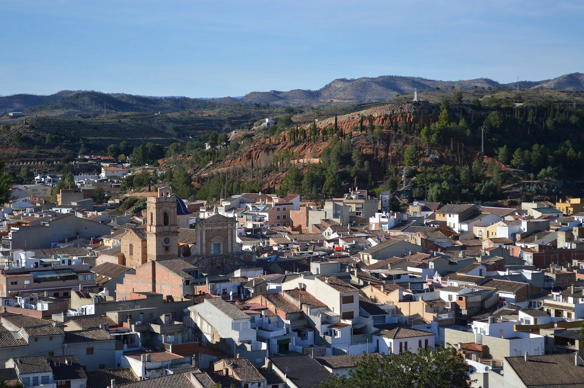
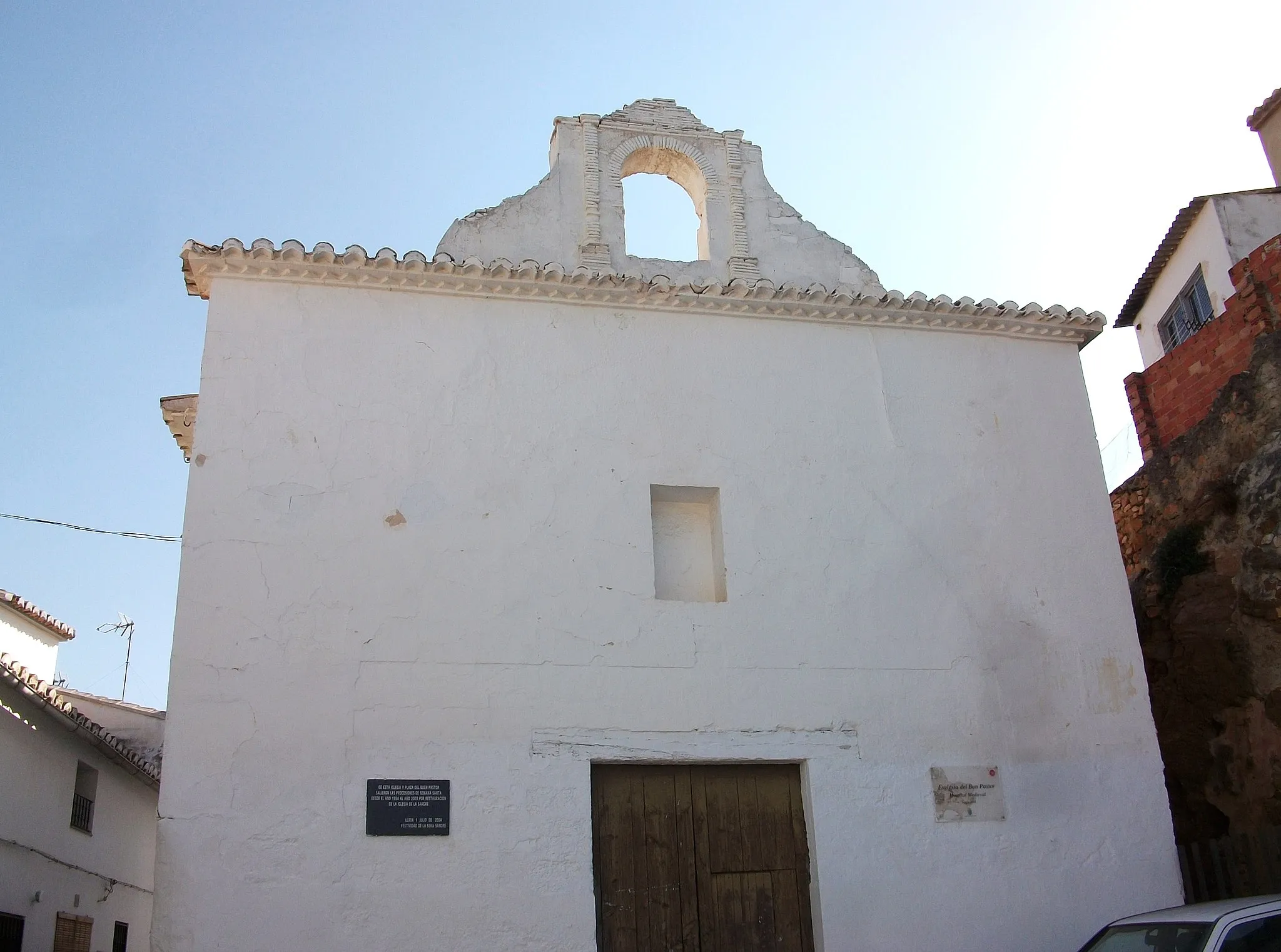
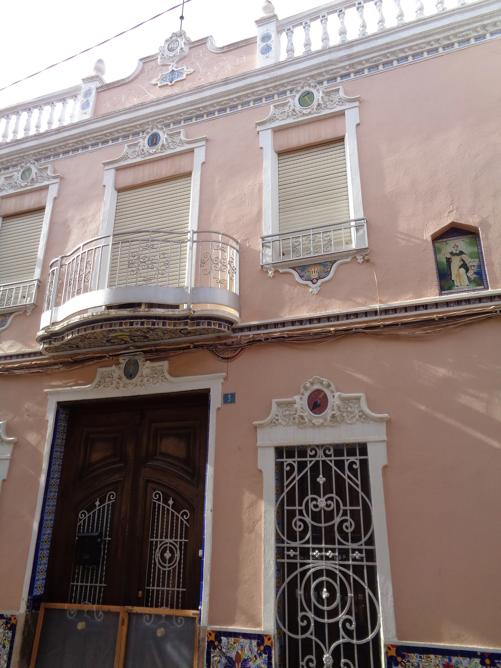
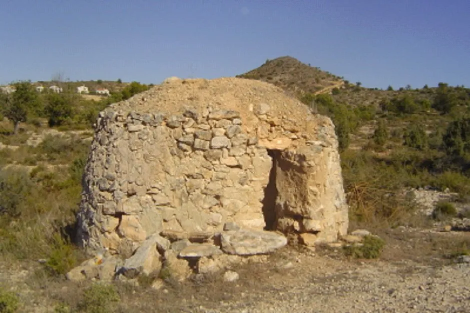
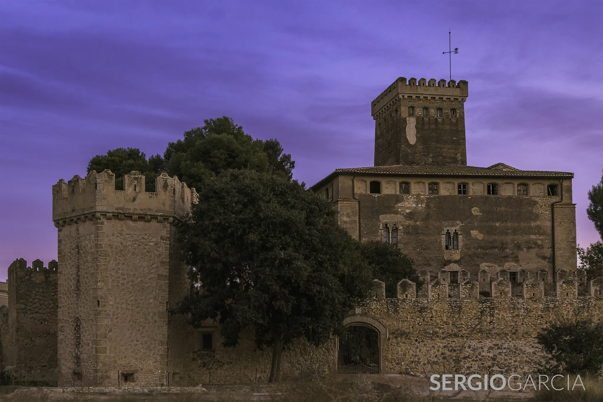
CallesVesniceDiscover the hidden gem of Calles, a picturesque village with historic landmarks and stunning architecture, perfect for a cultural break during your gravel expedition.
32 km
32 km
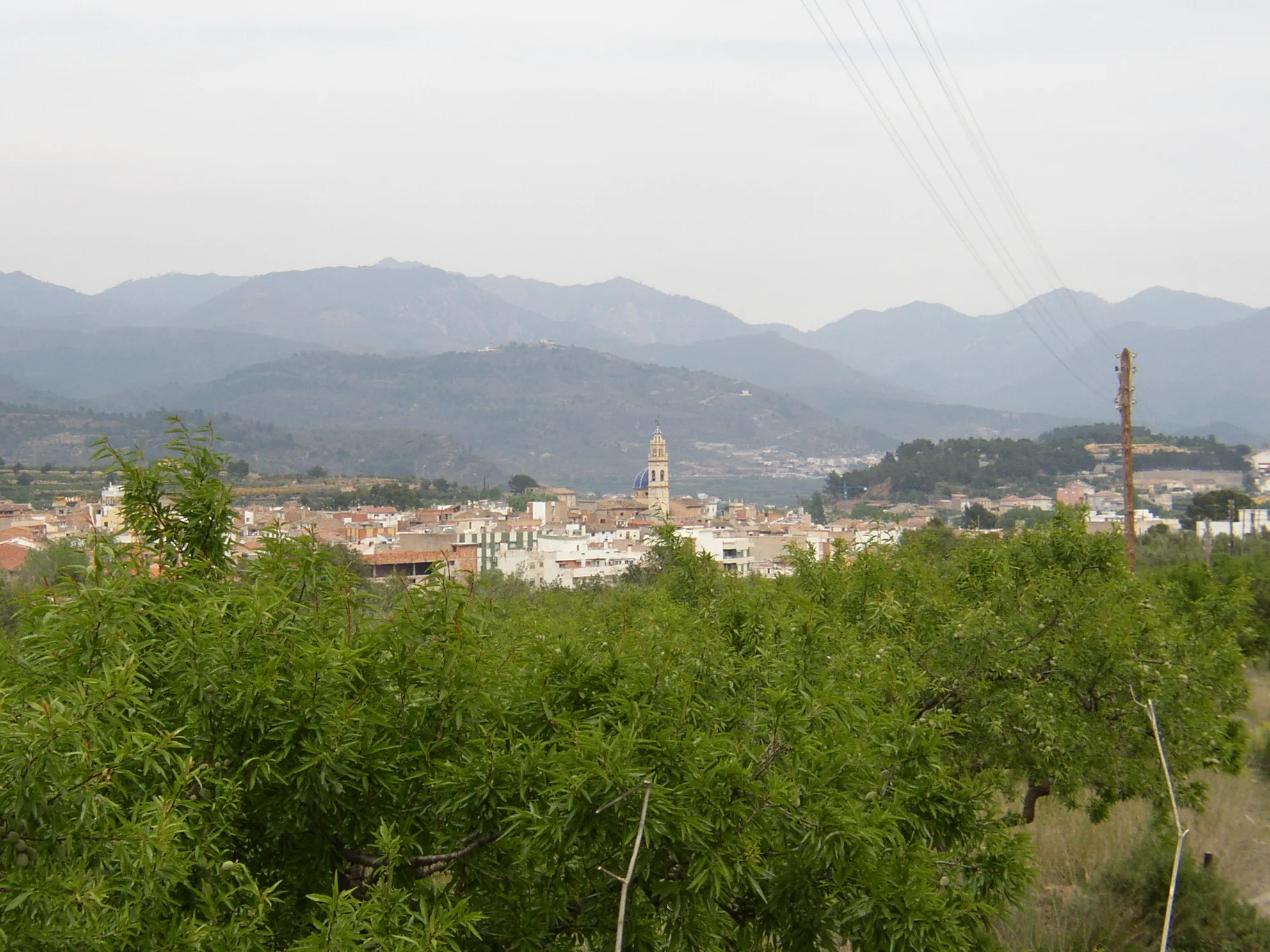
TuéjarVesniceTuéjar is a peaceful town nestled in the mountains, known for its natural beauty and tranquil atmosphere, ideal for a relaxing stop on your mountain gravel journey.
44 km
44 km
AhillasVesniceAhillas offers rugged terrain and challenging trails for experienced gravel cyclists, with stunning views of the surrounding valleys and mountains.
48 km
48 km
Loma del Zahorí1013 mVrcholClimb Loma del Zahorí for a challenging but rewarding experience, with panoramic views of the rugged landscape below.
55 km
55 km
Collado Cavas901 mPrůsmykCollado Cavas is a remote and rugged area, perfect for experienced gravel cyclists looking for a true off-road challenge in the mountains.
73 km
73 km
Cíl: Villar del Arzobispo Village centerVillar del Arzobispo: Venkovská cyklojízda
Cyklistické trasy z Villar del Arzobispo:
Z Villar del Arzobispo do Alcublas Gravel Bike Adventure: Villar del Arzobispo Loop Výlet z Villar del Arzobispo do Casinos Gravelová trasa od Villar del Arzobispo ke Beteta Mountain Gravel Expedition: Villar del Arzobispo Loop Cyklovýlet mezi Losa del Obispo a Chelvou Výlet kolem Chery a Requeny Kolem Chelvy a Peñas de Dios Okruh kolem La Pobleta a Torre Ibera de Ragudo Okruh přes Losa del Obispo
Cyklotrasy v okolí: