![Cover image](https://images.tarmacs.app/cycling-routes/covers/spain/pais-vasco/aretxabaleta-5.webp)
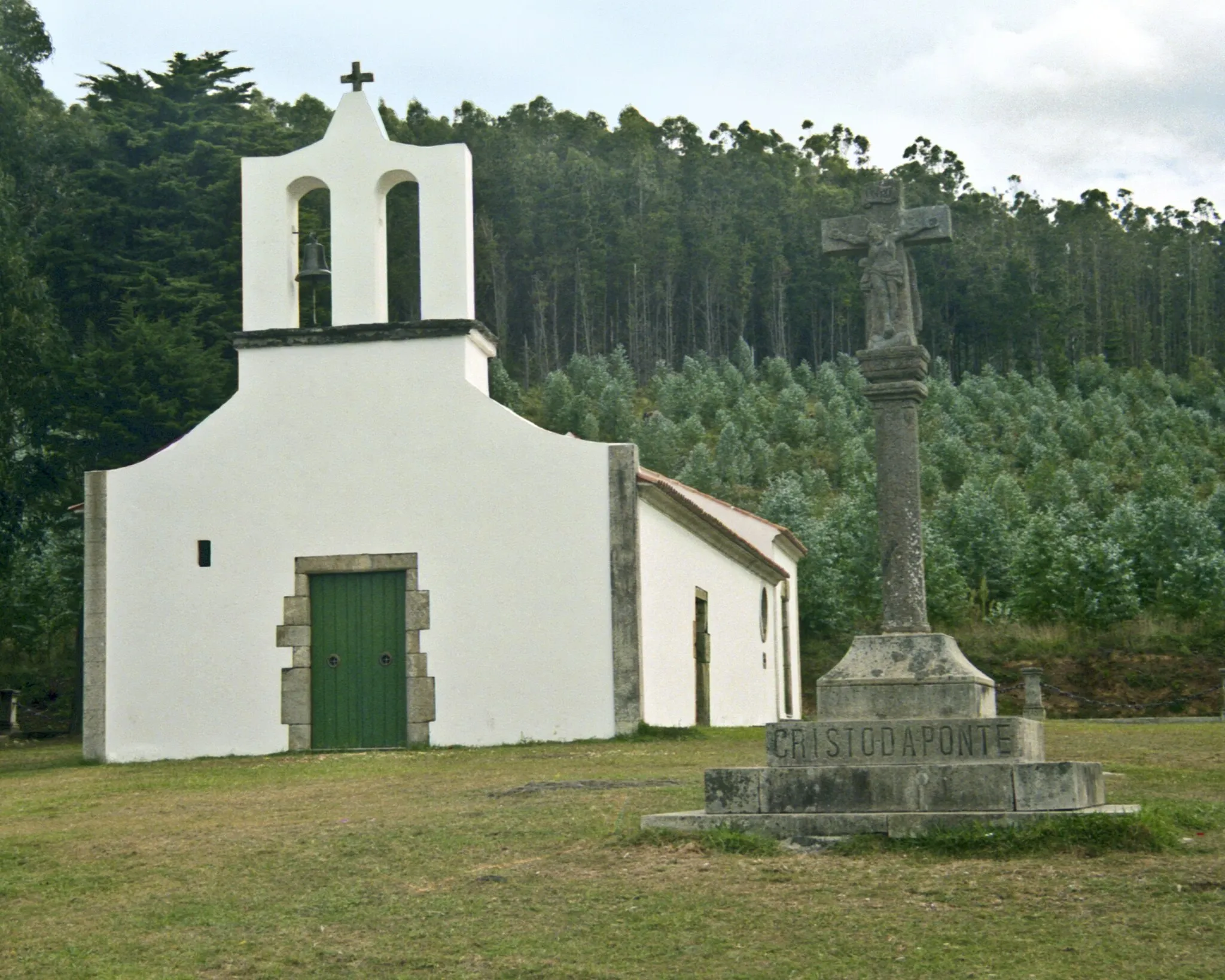
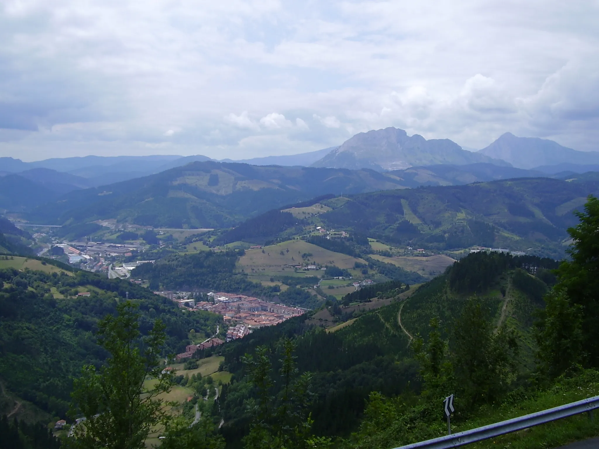
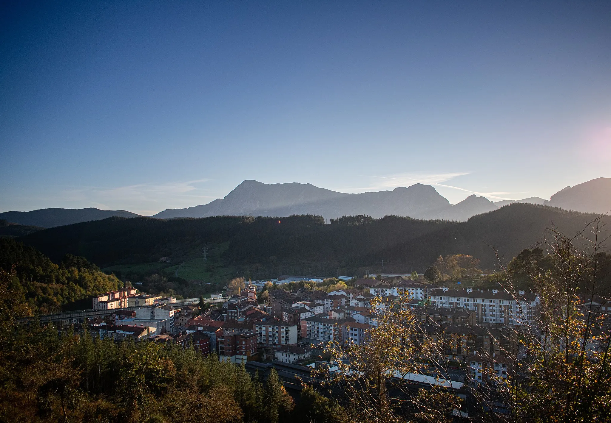
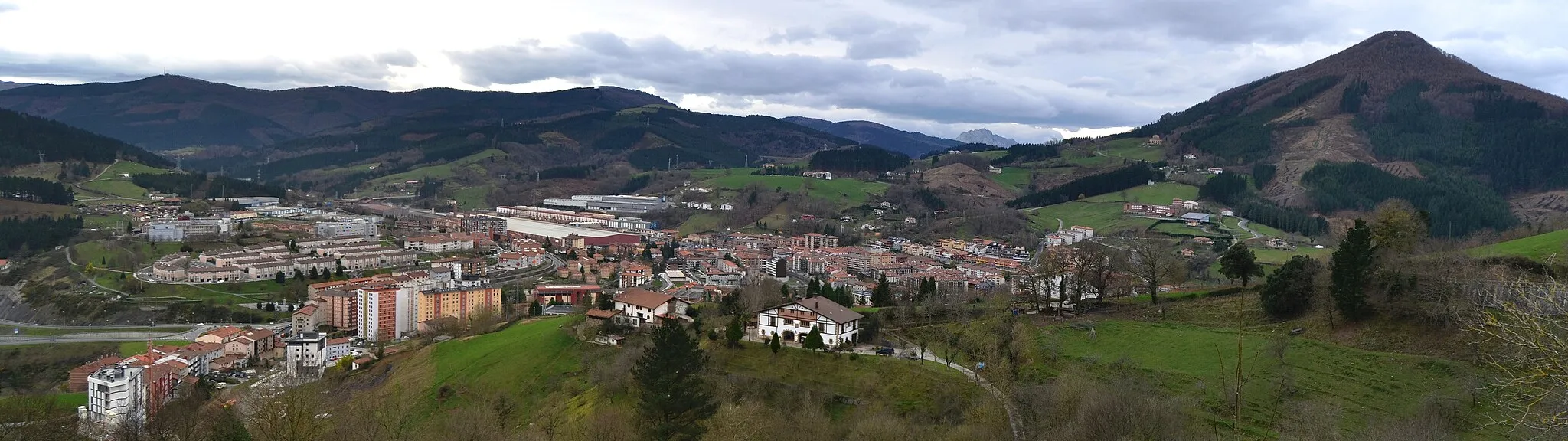
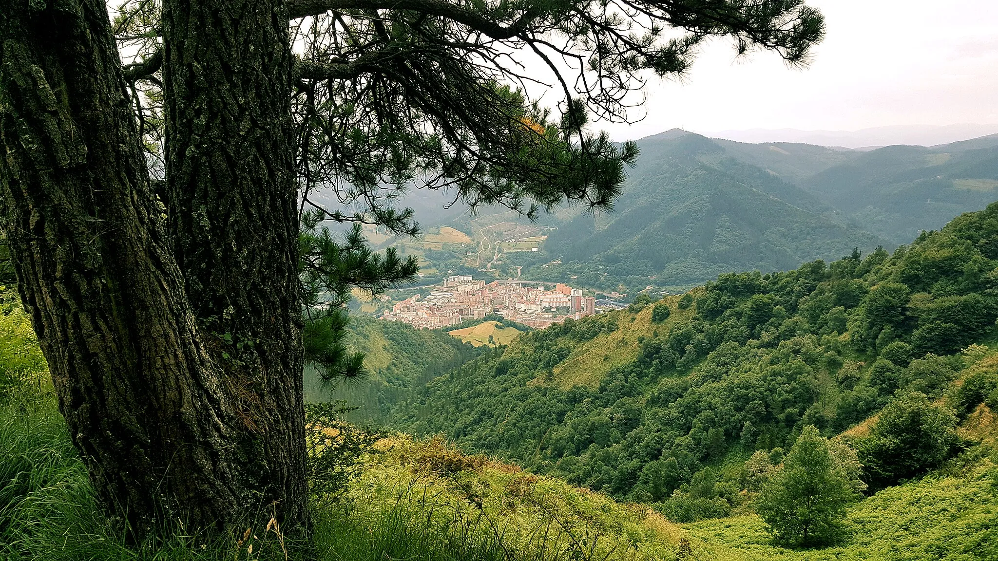
Historická vesnice s možnostmi pro cyklistiku.
Cyklistické trasy kolem Aretxabaleta
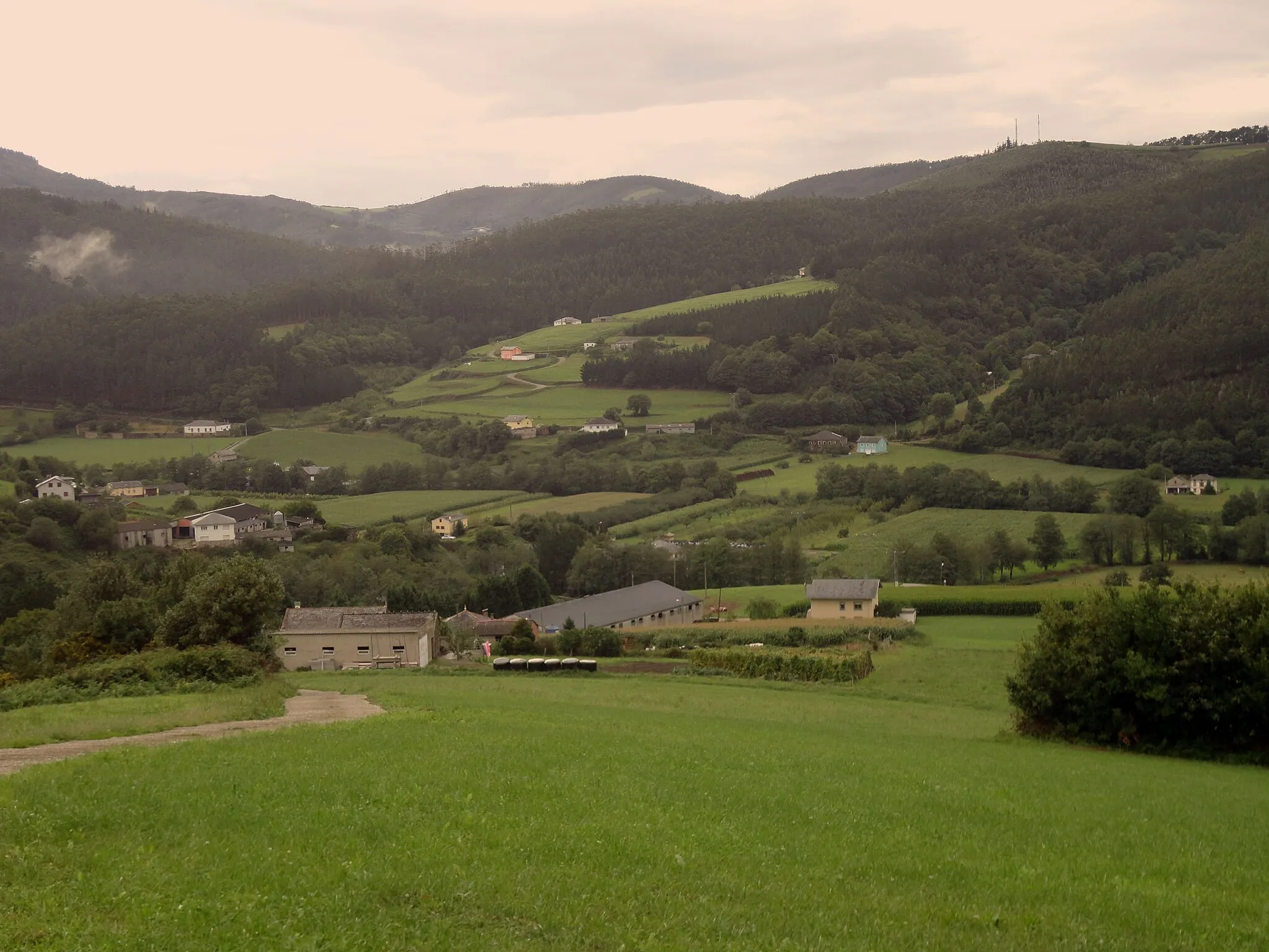
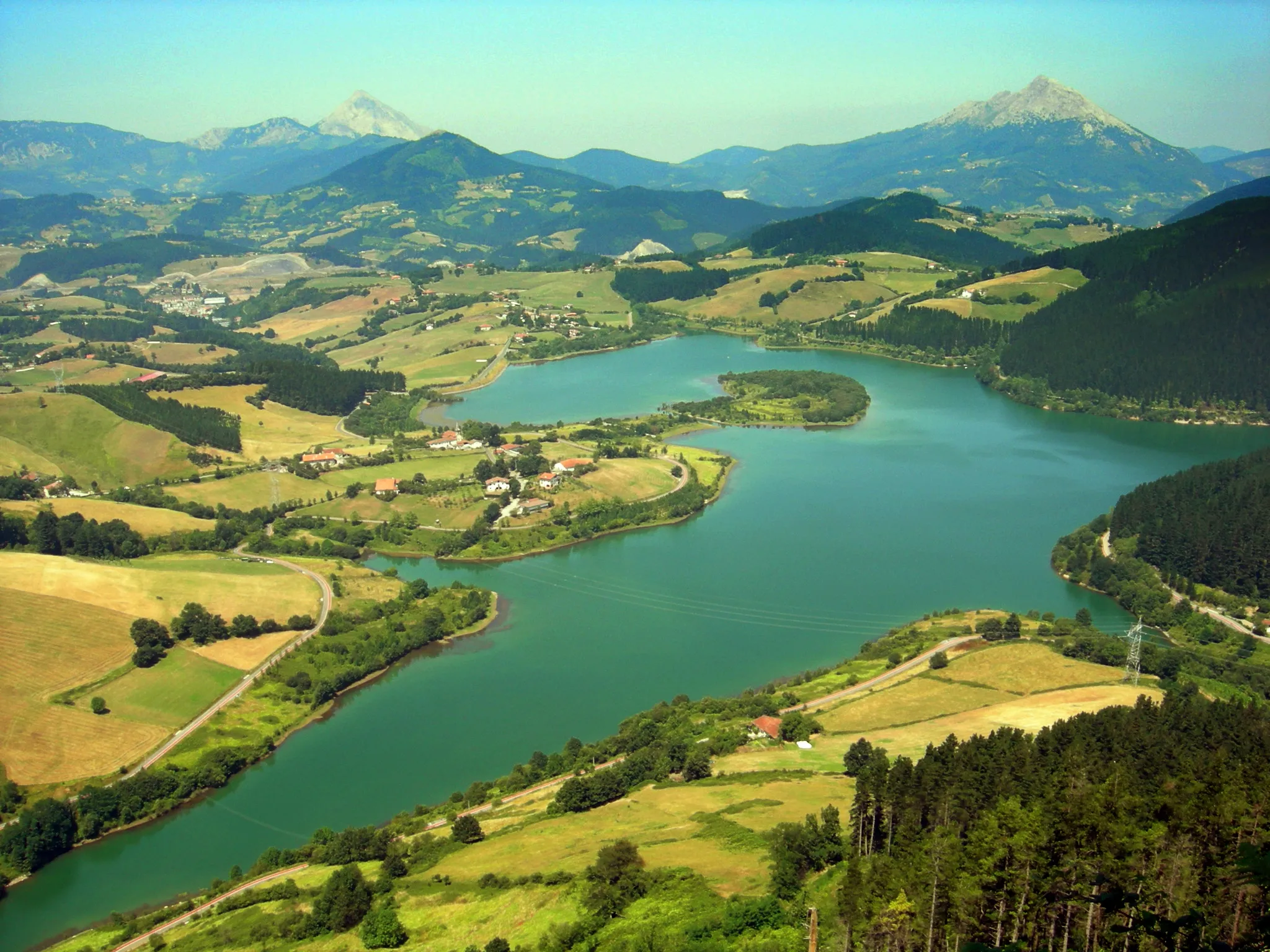
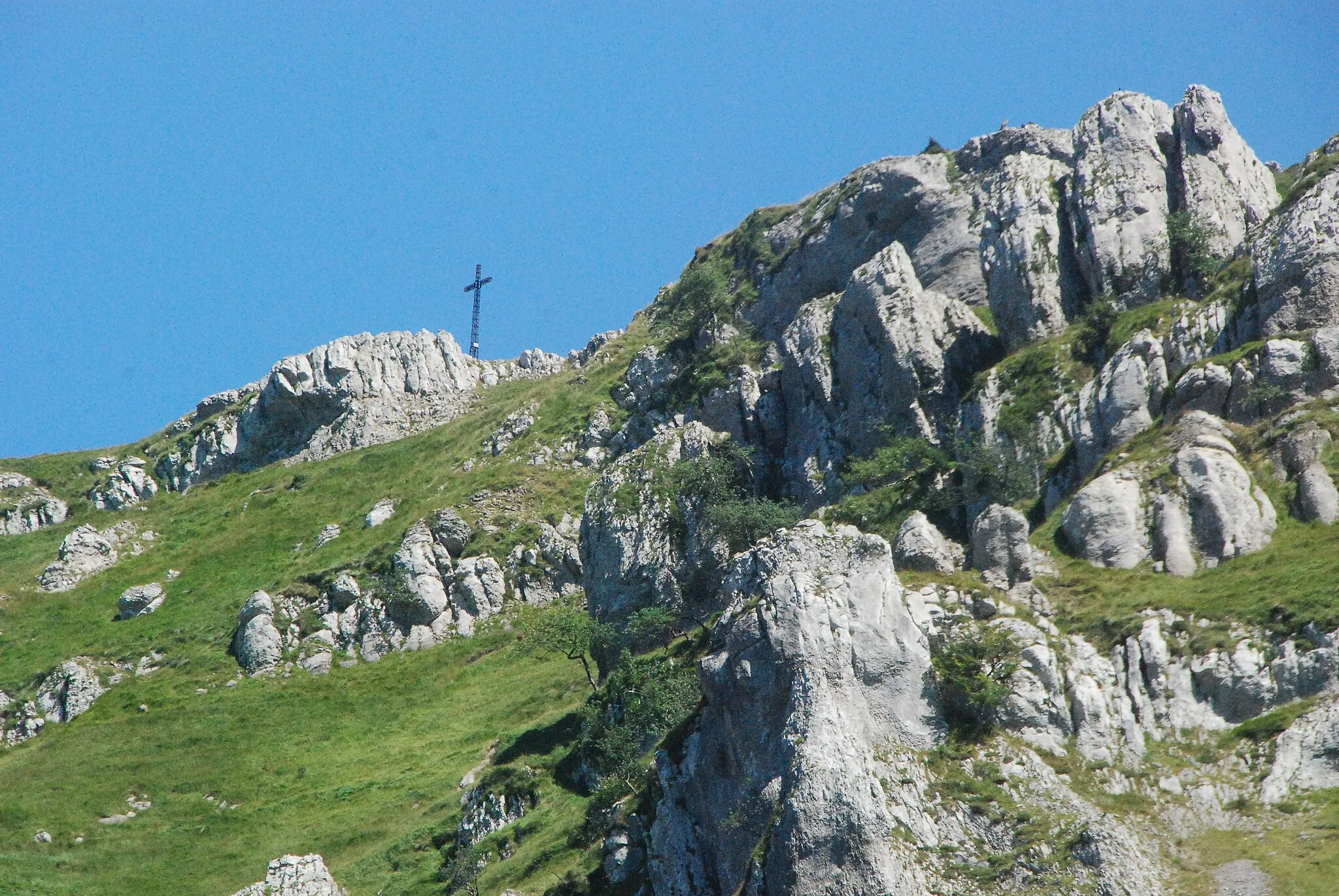
Aretxabaleta je malebná vesnice v Baskicku, která je známá svou bohatou historií a krásnými cyklistickými trasami. Pro cyklisty nabízí vhodné podmínky pro trénink a objevování okolní krajiny. Nedaleko se nachází stoupání do Urkulu, které je populární mezi místními cyklisty.
![Miniaturní mapa "Gravel Cycling Route Aretxabaleta - Elorrio Adventure" inspirace pro cyklisty v oblasti País Vasco, Spain. Vytvořeno pomocí plánovače tras Tarmacs.app](https://images.tarmacs.app/cycling-routes/routemaps/600/spain/pais-vasco/aretxabaleta/gravel/67325.webp)
Embark on an exciting gravel cycling adventure through the Basque mountains on this scenic route.
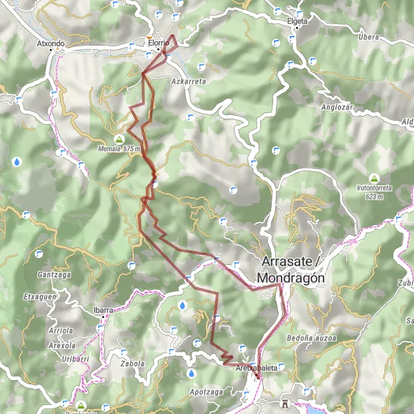
This gravel cycling route offers a mix of challenging terrain and stunning scenery, with highlights including the village of Gellao, the picturesque Besaide, and the charming Elorrio. With a total distance of 36 km and 1167 m of ascent, cyclists can enjoy a thrilling off-road experience in the heart of the Basque country.
![Miniaturní mapa "Gravel Cycling Route Aretxabaleta - Atxondo Trail" inspirace pro cyklisty v oblasti País Vasco, Spain. Vytvořeno pomocí plánovače tras Tarmacs.app](https://images.tarmacs.app/cycling-routes/routemaps/600/spain/pais-vasco/aretxabaleta/gravel/67323.webp)
Experience the rugged beauty of the Basque countryside on this challenging gravel cycling route.
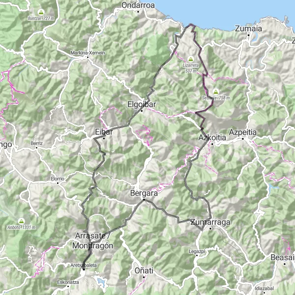
This gravel cycling route takes riders through a variety of landscapes, from the village of Krutzeta to the stunning Atxondo. With a total distance of 49 km and 1544 m of ascent, cyclists can test their skills and endurance while enjoying the natural beauty of the Basque region.
![Miniaturní mapa "Okružní cyklistická trasa kolem Aretxabaleta" inspirace pro cyklisty v oblasti País Vasco, Spain. Vytvořeno pomocí plánovače tras Tarmacs.app](https://images.tarmacs.app/cycling-routes/routemaps/600/spain/pais-vasco/aretxabaleta/road/67367.webp)
Rychlá trasa s krásnými výhledy
Tato 97 km dlouhá trasa je ideální pro rychlejší jízdu s převýšením 1862 m. Vede přes města Kanpazar Mendatea, Elorrio a Markina-Xemein a nabízí malebné scenérie a krásné výhledy na okolní krajinu. Ideální volba pro cyklisty, kteří chtějí zažít krásu baskické krajiny a zároveň si užít adrenalinovou jízdu.
![Miniaturní mapa "Krátká Gravel Trasa kolem Aretxabalety" inspirace pro cyklisty v oblasti País Vasco, Spain. Vytvořeno pomocí plánovače tras Tarmacs.app](https://images.tarmacs.app/cycling-routes/routemaps/600/spain/pais-vasco/aretxabaleta/gravel/67345.webp)
Malebná cesta plná překvapení na každém rohu
Trasa nabízí 44 km malebné jízdy plné krásných výhledů a možností pro krátké výlety a zastávky. Ideální pro cyklisty, kteří si chtějí užít pohodovou projížďku krajinou.
![Miniaturní mapa "Gravel Trasa kolem Aretxabalety" inspirace pro cyklisty v oblasti País Vasco, Spain. Vytvořeno pomocí plánovače tras Tarmacs.app](https://images.tarmacs.app/cycling-routes/routemaps/600/spain/pais-vasco/aretxabaleta/gravel/67369.webp)
Zajímavá cesta plná výzev a krásné krajiny
Trasa nabízí nádherné výhledy a zajímavé body zájmu při jízdě po 96 kilometrech. Cestou budete mít možnost obdivovat různorodou krajinu a užít si náročné stoupání.
![Miniaturní mapa "Okružní cyklistická trasa kolem Aretxabaleta" inspirace pro cyklisty v oblasti País Vasco, Spain. Vytvořeno pomocí plánovače tras Tarmacs.app](https://images.tarmacs.app/cycling-routes/routemaps/600/spain/pais-vasco/aretxabaleta/road/67397.webp)
Zajímavá trasa s mnoha významnými body
Tato 118 km dlouhá trasa nabízí krásné výhledy a zajímavé zajímavosti po celou dobu. S převýšením 1499 m je to výzva pro zkušené cyklisty. Cesta vede přes města Eskoriatza, Mendizabala a Nanclares de la Oca/Langraiz Oka, a nabízí mnoho možností k objevování.
![Miniaturní mapa "Road Cycling Route Aretxabaleta - Oñati Circuit" inspirace pro cyklisty v oblasti País Vasco, Spain. Vytvořeno pomocí plánovače tras Tarmacs.app](https://images.tarmacs.app/cycling-routes/routemaps/600/spain/pais-vasco/aretxabaleta/road/67332.webp)
Embark on an epic road cycling journey through the Basque mountains with this challenging route.
This road cycling route offers a mix of challenging climbs and stunning descents, with highlights including the historic town of Arrasate, the picturesque Elgoibar, and the charming village of Oñati. With a total distance of 111 km and 2520 m of ascent, cyclists can test their endurance and skills while enjoying the beauty of the Basque region.
![Miniaturní mapa "Road Cycling Route Aretxabaleta - Olaberria Loop" inspirace pro cyklisty v oblasti País Vasco, Spain. Vytvořeno pomocí plánovače tras Tarmacs.app](https://images.tarmacs.app/cycling-routes/routemaps/600/spain/pais-vasco/aretxabaleta/road/67328.webp)
Explore the charming Basque villages and stunning landscapes on this challenging road cycling route.
This road cycling route offers a mix of picturesque villages like Arrasate, Beloki, and Olaberria, combined with challenging ascents through beautiful mountain scenery. With a total distance of 107 km and 1843 m of ascent, cyclists can enjoy a diverse and rewarding ride through the Basque country.
![Miniaturní mapa "Road Cycling Route Aretxabaleta - Zumarraga Circuit" inspirace pro cyklisty v oblasti País Vasco, Spain. Vytvořeno pomocí plánovače tras Tarmacs.app](https://images.tarmacs.app/cycling-routes/routemaps/600/spain/pais-vasco/aretxabaleta/road/67327.webp)
Embark on a thrilling road cycling adventure through the Basque countryside with this scenic route.
This challenging road cycling route takes riders through a variety of landscapes, from the historic town of Arrasate to the picturesque village of Zumarraga. With a total distance of 109 km and 2414 m of ascent, cyclists can test their endurance and skills while enjoying the beauty of the Basque region.
![Miniaturní mapa "Okružní cyklistická trasa kolem Aretxabaleta (štěrková)" inspirace pro cyklisty v oblasti País Vasco, Spain. Vytvořeno pomocí plánovače tras Tarmacs.app](https://images.tarmacs.app/cycling-routes/routemaps/600/spain/pais-vasco/aretxabaleta/gravel/67371.webp)
Trasa vhodná pro milovníky štěrkových cest
Tato 105 km dlouhá trasa nabízí napínavé zážitky pro cyklisty, kteří mají rádi štěrkové cesty. S převýšením 3432 m je to výzva pro zkušené jezdce. Trasa vede přes města Aretxabaleta, Oñati, Zerain a Araia, a nabízí jedinečné vyhlídky a zajímavé místa k objevování.
Cyklotrasy v okolí:
![Obrázek Eskoriatza](https://images.tarmacs.app/cycling-routes/covers/spain/pais-vasco/eskoriatza-5.webp)
![Obrázek Arrasate / Mondragón](https://images.tarmacs.app/cycling-routes/covers/spain/pais-vasco/arrasate-mondragon-5.webp)
![Obrázek Oñati](https://images.tarmacs.app/cycling-routes/covers/spain/pais-vasco/onate-5.webp)
![Obrázek Elorrio](https://images.tarmacs.app/cycling-routes/covers/spain/pais-vasco/elorrio-4.webp)
![Obrázek Bergara](https://images.tarmacs.app/cycling-routes/covers/spain/pais-vasco/bergara-4.webp)
![Obrázek Berriz](https://images.tarmacs.app/cycling-routes/covers/spain/pais-vasco/berriz-5.webp)
![Obrázek Zumarraga](https://images.tarmacs.app/cycling-routes/covers/spain/pais-vasco/zumarraga-4.webp)
![Obrázek Eibar](https://images.tarmacs.app/cycling-routes/covers/spain/pais-vasco/eibar-4.webp)
![Obrázek Ermua](https://images.tarmacs.app/cycling-routes/covers/spain/pais-vasco/ermua-4.webp)
Okolní oblasti:
![Obrázek Galicie](https://images.tarmacs.app/cycling-routes/covers/spain/galicia/cedeira-1.webp)
![Obrázek Principado de Asturias](https://images.tarmacs.app/cycling-routes/covers/spain/principado-de-asturias/tapia-de-casariego-1.webp)
![Obrázek Navarrské autonomní společenství](https://images.tarmacs.app/cycling-routes/covers/spain/comunidad-foral-de-navarra/milagro-3.webp)
![Obrázek La Rioja](https://images.tarmacs.app/cycling-routes/covers/spain/la-rioja/aldeanueva-de-ebro-3.webp)
![Obrázek Aragón](https://images.tarmacs.app/cycling-routes/covers/spain/aragon/andorra-2.webp)
![Obrázek Castilla y León](https://images.tarmacs.app/cycling-routes/covers/spain/castilla-y-leon/santovenia-de-pisuerga-4.webp)
![Obrázek Castilla-La Mancha](https://images.tarmacs.app/cycling-routes/covers/spain/castilla-la-mancha/villacanas-5.webp)
![Obrázek Katalánsko](https://images.tarmacs.app/cycling-routes/covers/spain/cataluna/piera-3.webp)
![Obrázek Valencijské společenství](https://images.tarmacs.app/cycling-routes/covers/spain/comunitat-valenciana/benicarlo-2.webp)
![Obrázek Aquitaine](https://images.tarmacs.app/cycling-routes/covers/france/aquitaine/le-bugue-5.webp)
![Obrázek Midi-Pyrénées](https://images.tarmacs.app/cycling-routes/covers/france/midi-pyrenees/grenade-2.webp)