Gravel Route from Affeltrangen
Cyklistická trasa pro gravel začínající v Affeltrangen
Picturesque gravel route with moderate ascent and unique highlights
Mapa
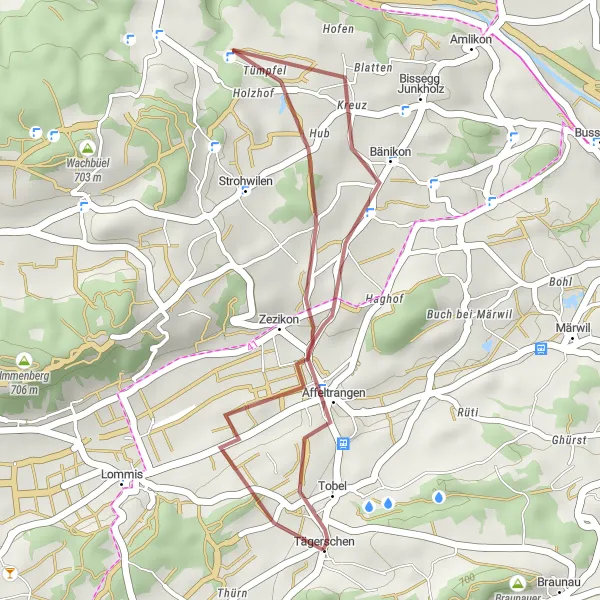
Explore the charming village of Affeltrangen, ride through stunning Griesenberg, and be amazed by the beauty of Tägerschen. This 18km route offers a perfect mix of nature and culture, ideal for a leisurely cycling adventure.
gravel
18 km
217 m
Chill
Profil trasy
Zajímavosti na trase
0 km
0 km
Start: Tägerschen Village centerAffeltrangen: Klidné cyklistické prostředí
Affeltrangen je klidná obec v regionu Ostschweiz ve Švýcarsku. Pro cyklisty nabízí možnosti pro relaxační výlety po okolní krajině, s příležitostí poznávání místní kultury a historie. V okolí jsou dostupné také cyklistické trasy a stoupání vhodná pro různé typy jízdy.2 km
2 km
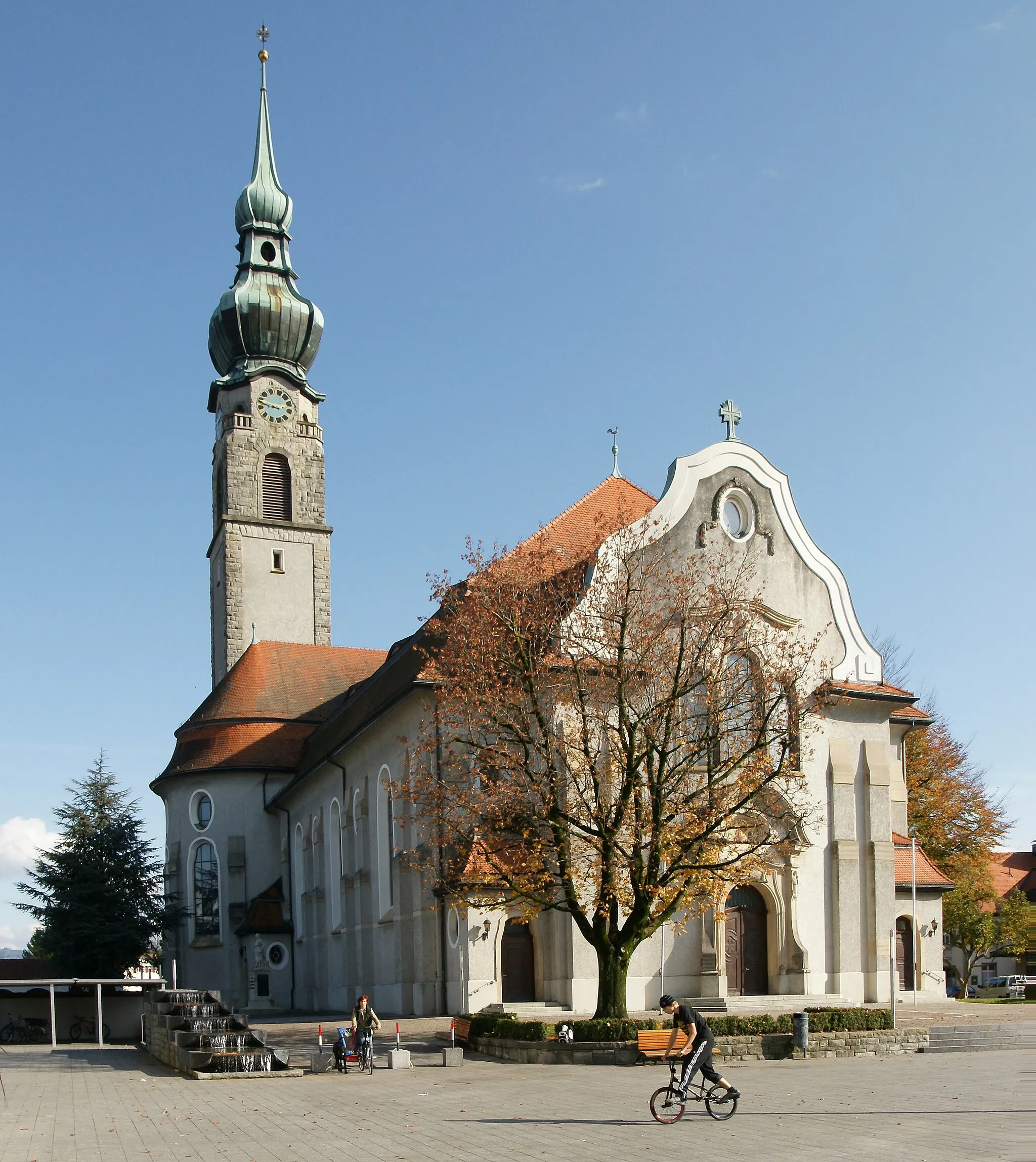
AffeltrangenVesniceAffeltrangen is a quaint Swiss village with traditional Swiss architecture and friendly locals.
7 km
7 km
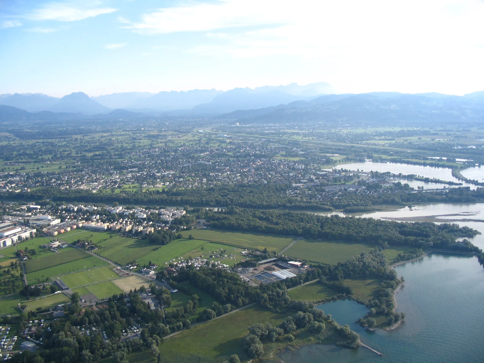
GriesenbergVesniceGriesenberg is a scenic area with lush greenery and panoramic views, making it a perfect spot for a relaxing break.
18 km
18 km
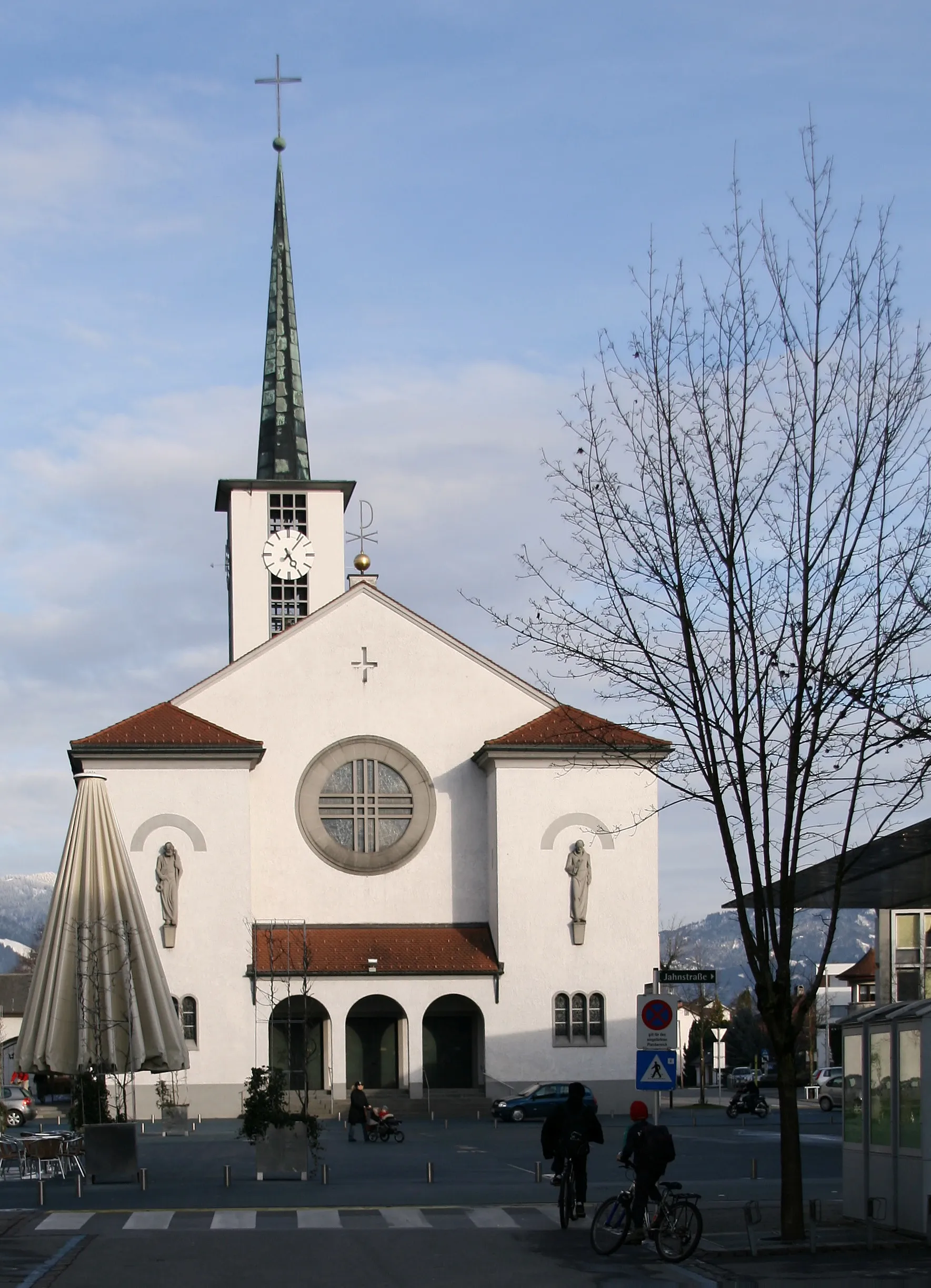
TägerschenVesniceTägerschen is a charming town known for its historic buildings and picturesque surroundings.
18 km
18 km
Cíl: Tägerschen Village centerAffeltrangen: Klidné cyklistické prostředí
Cyklistické trasy z Affeltrangen:
Silniční cyklostezka okolo Affeltrangenu Trasa kolem Müllheimu a Weinfeldenu Okruh přes Zuzwil SG a Lichtensteig Gravel Route from Affeltrangen Road Route from Affeltrangen Gravel cyklostezka kolem Affeltrangenu Procházka přes Schönenberg an der Thur a Nollenberg Cyklostezka podél Bodamského jezera Road Tour přes Frauenfeld a Weiningen TG Gravel Grind okolo Bodamského jezera
Cyklotrasy v okolí: