Gravel Route through Engadin Valley
Cyklistická trasa pro gravel začínající v Pontresina
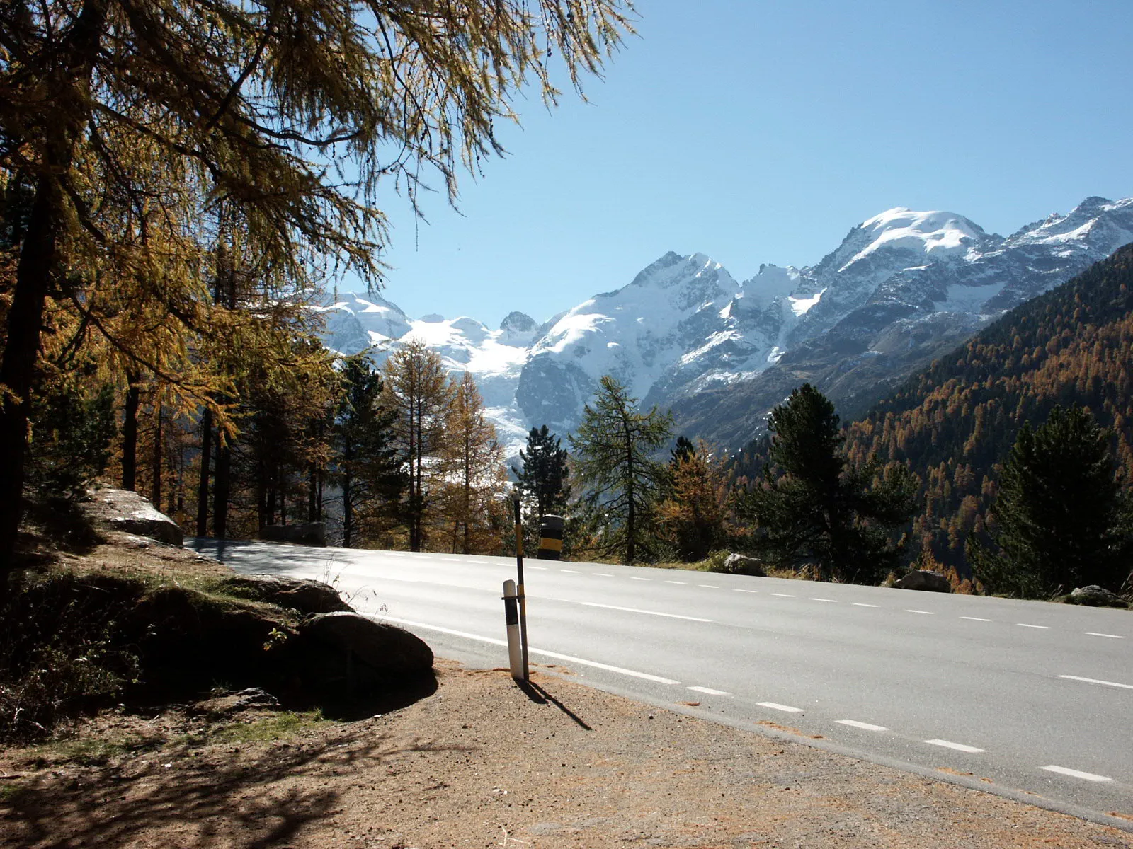
Explore the stunning Engadin Valley on this gravel route full of scenic views and charming villages.
Mapa
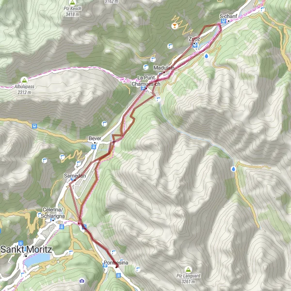
Cycle through picturesque landscapes, passing by the quaint village of La Punt Chamues-ch and the historic town of Samedan. Enjoy the challenge of a 421m ascent over 38km of gravel roads, with rewarding views of the surrounding mountains. Experience the beauty of the Swiss Alps on this distinctive cycling adventure.
gravel
38 km
421 m
Chill
Profil trasy
Zajímavosti na trase
0 km
0 km
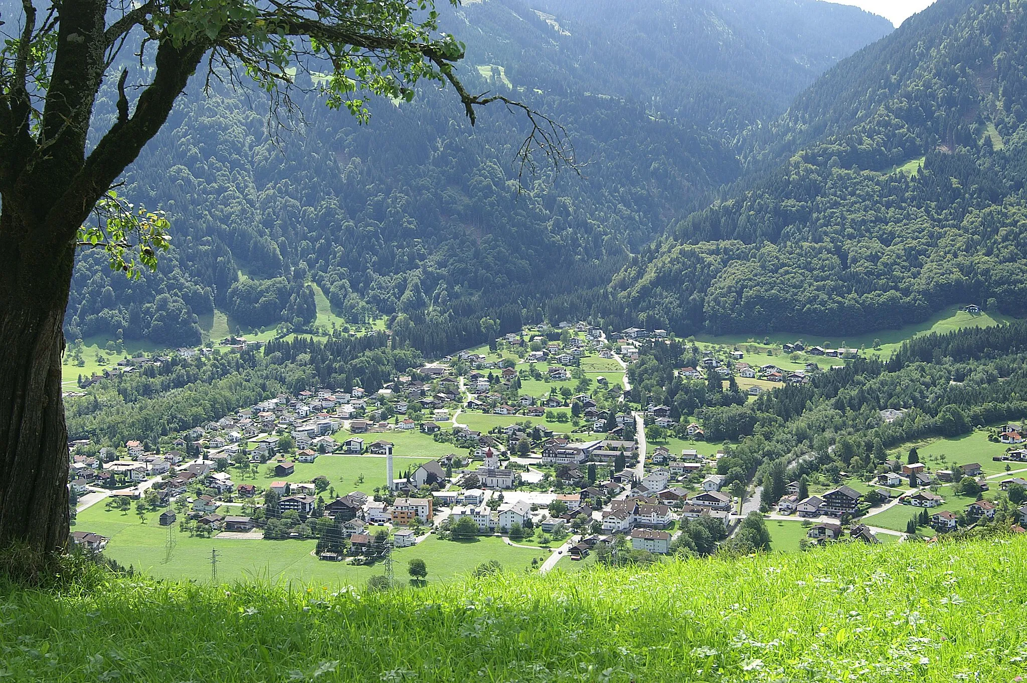
Start: Pontresina Village centerPontresina: Horská cyklistika v údolí Engadin
Pontresina je malebné horské městečko ležící v údolí Engadin ve švýcarských Alpách. Cyklisté si zde užijí nádherné výhledy a možnost projet se kolem ledovců a jezer. V blízkosti se nachází slavná horská průsmyčka jako Bernina Pass nebo Julier Pass. Pontresina je skvělým výchozím bodem pro horské cyklisty.0 km
0 km
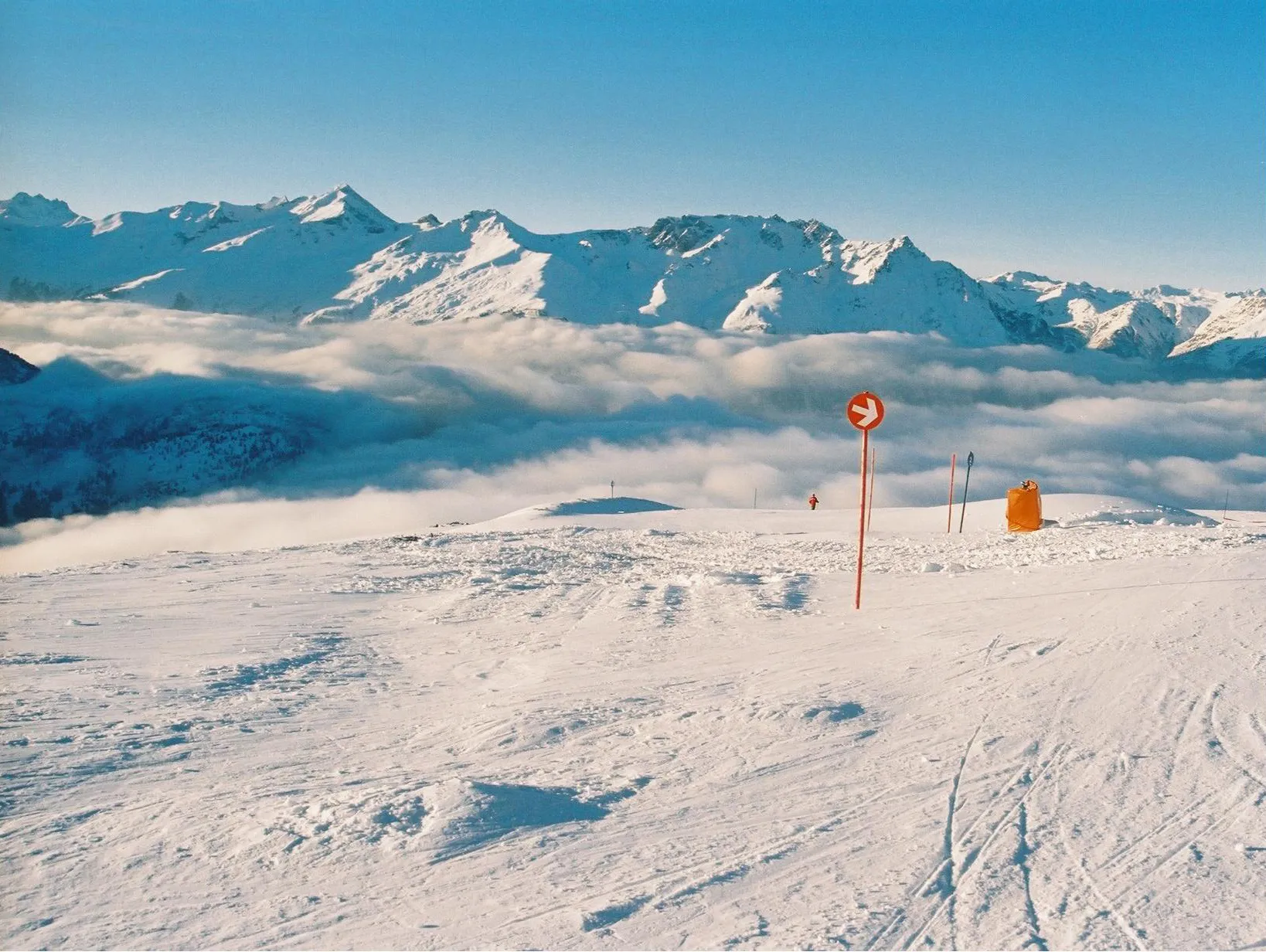
RöntgenplatzVýhledRöntgenplatz offers a peaceful resting spot along the route, where you can soak in the tranquil surroundings and enjoy a moment of relaxation.
12 km
12 km
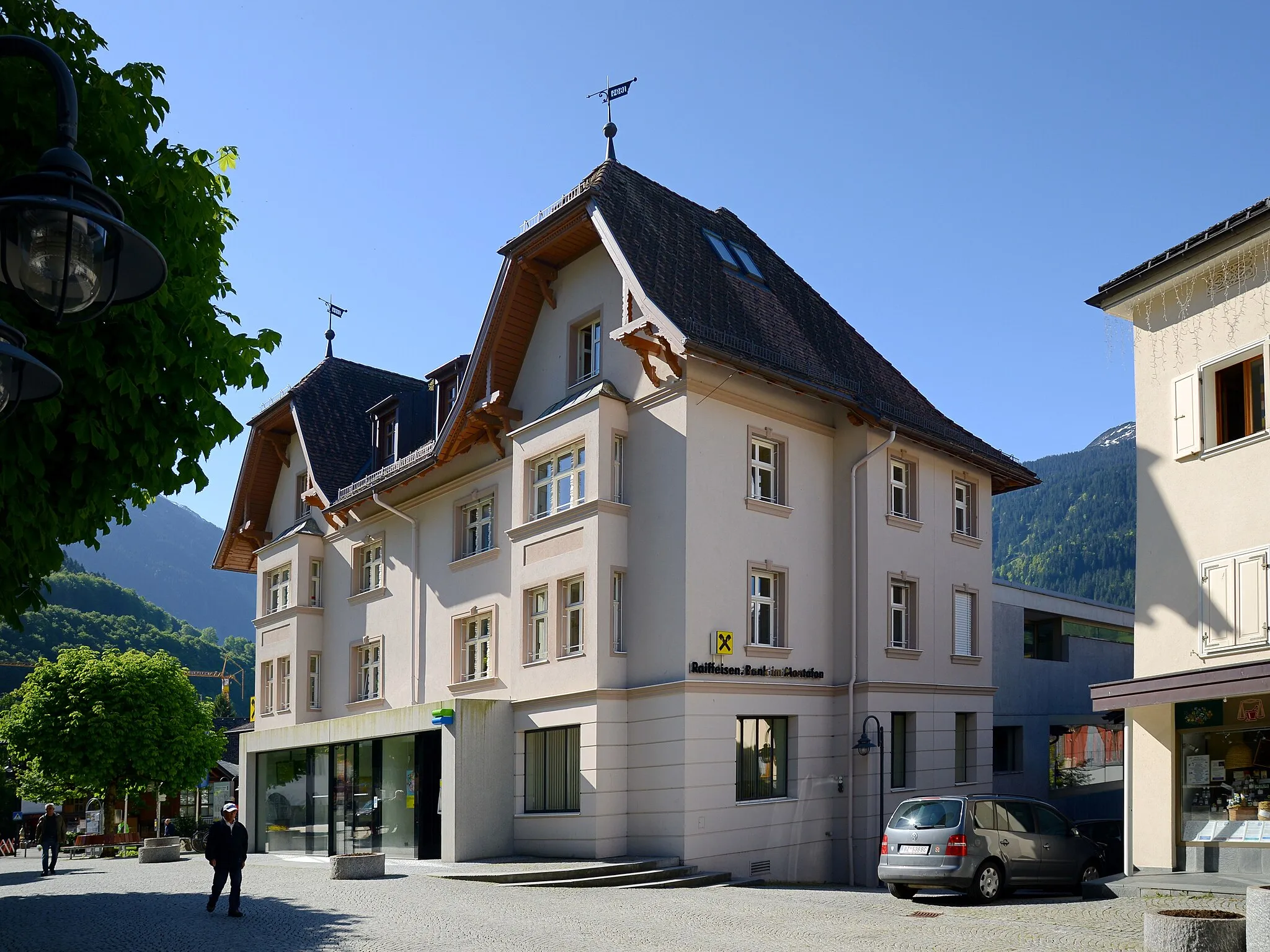
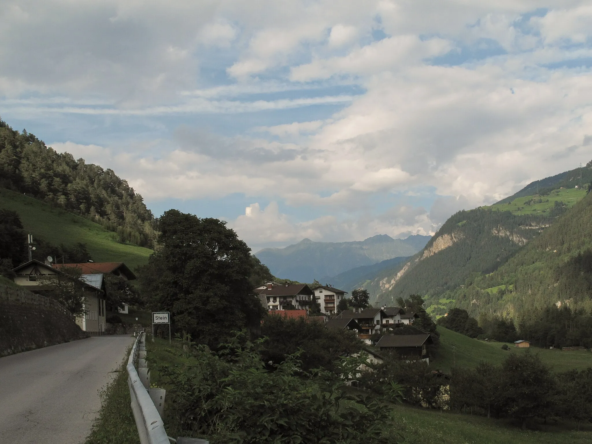
La Punt Chamues-chVesniceLa Punt Chamues-ch is a traditional Swiss village with charming architecture and a rich history, providing a perfect cultural stop during your cycling journey.
32 km
32 km
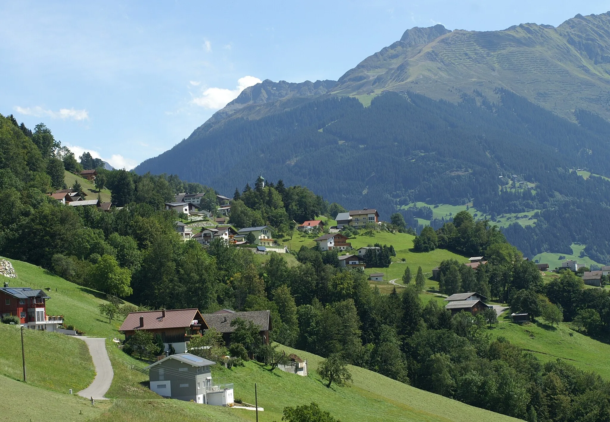
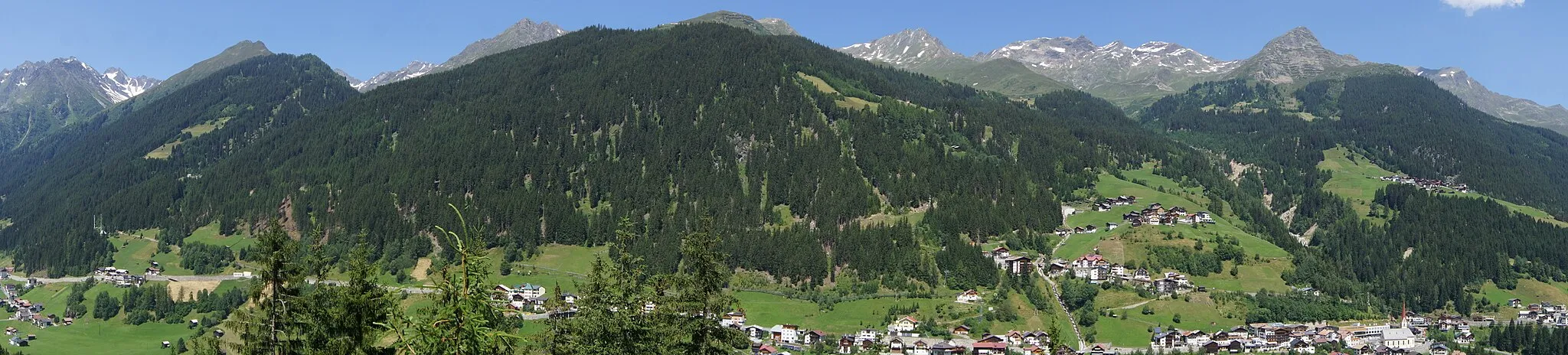
SamedanVesniceSamedan is a historic town known for its beautiful churches and vibrant atmosphere, offering a glimpse into the local culture and heritage.
38 km
38 km
PontresinaVesnicePontresina marks the end of the route, where you can unwind and reflect on your cycling adventure while enjoying the stunning mountain views.
38 km
38 km
Cíl: Pontresina Village centerPontresina: Horská cyklistika v údolí Engadin
Cyklistické trasy z Pontresina:
Gravel Route through Engadin Valley Cyklotrasa Bever - Pontresina Gravel Cyklotrasa Röntgenplatz - Pontresina Gravel Cyklotrasa Cascada da Bernina - Pontresina Okruh kolem Pontresiny - Silvaplana Gravelová cesta Berninapass - Pontresina Road výlet kolem Engadinu Silvaplana - Bever Circuit Silvaplana - La Punt Chamues-ch Loop Gravel Cyklotrasa Röntgenplatz - Pontresina
Cyklotrasy v okolí: