Road Route near Rorbas
Cyklistická trasa pro road začínající v Rorbas
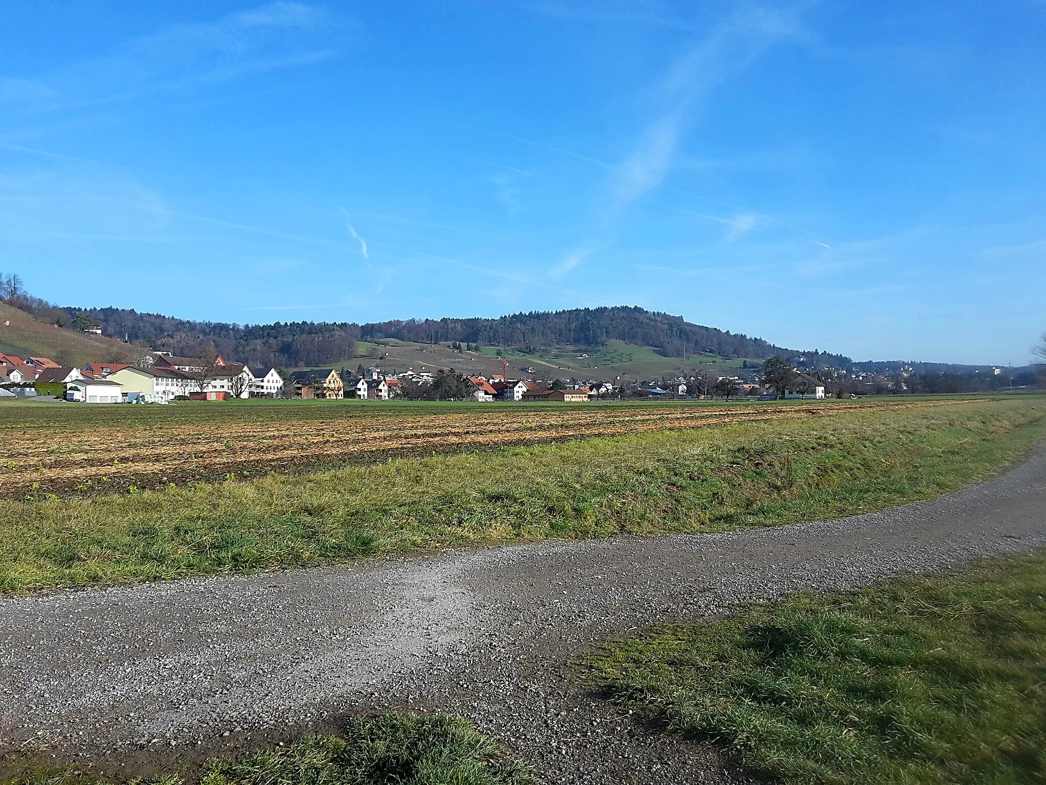
Enjoy a scenic road cycling experience with this route near Rorbas
Mapa
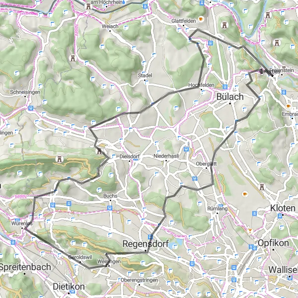
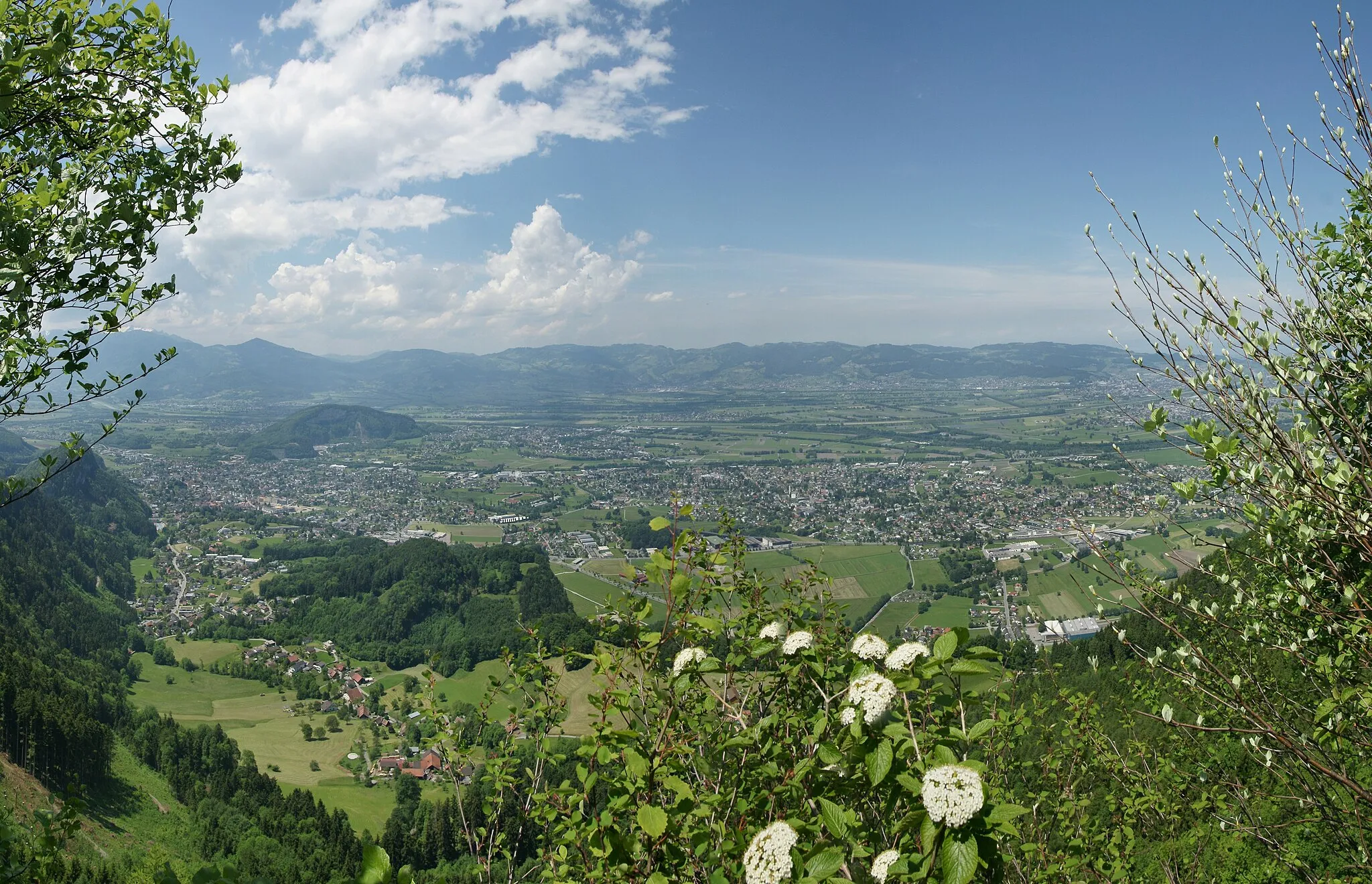
Discover the beauty of the Swiss countryside on this 61km road route with a total ascent of 1068m. From the challenging climbs of Dättenberg to the picturesque village of Glattfelden, this route offers a mix of natural beauty and cultural highlights. Don't miss the iconic Gubrist bridge and the charming village of Boppelsen along the way.
road
61 km
1068 m
Náročné
Profil trasy
Zajímavosti na trase
0 km
0 km
Start: Rorbas Village centerRorbas: Ideální lokalita pro cyklisty hledající výzvy v kopcích
Rorbas leží v kantonu Curych a je ideálním místem pro cyklistiku v okolních kopcích a lesích. Cyklisté zde najdou zábavu a výzvy na různých typech cest, včetně strmých stoupání a sjezdů. Nedaleko Rorbasu se nachází oblíbená cyklistická destinace Pfannenstiel s nádhernými výhledy.3 km
3 km
Dättenberg560 mVrcholExperience the thrill of cycling up the challenging slopes of Dättenberg.
11 km
11 km
OberglattVesniceVisit the quaint village of Oberglatt and explore its charming streets and traditional architecture.
21 km
21 km
Gubrist615 mVrcholCross the iconic Gubrist bridge and enjoy breathtaking views of the surrounding landscape.
30 km
30 km
WürenlosVesniceExplore the historic village of Würenlos and learn about its rich cultural heritage.
36 km
36 km
BoppelsenVesniceDiscover the hidden gem of Boppelsen with its beautiful scenery and peaceful ambiance.
45 km
45 km
Heitlig516 mPrůsmykCycle through the idyllic village of Heitlig and enjoy the tranquility of the countryside.
54 km
54 km
GlattfeldenVesniceDon't miss the charming village of Glattfelden with its traditional Swiss architecture and scenic surroundings.
59 km
59 km
Höhrain526 mVrcholReach the top of Höhrain and marvel at the stunning panoramic views of the Swiss countryside.
61 km
61 km
Cíl: Rorbas Village centerRorbas: Ideální lokalita pro cyklisty hledající výzvy v kopcích
Cyklotrasy v okolí: