Abwechslungsreiche Straßentour um Collobrières
Eine road-Radroute, die von Collobrieres aus startet.
Entdecken Sie die Vielfalt der Landschaften und erkunden Sie malerische Dörfer auf dieser Tour
Karte
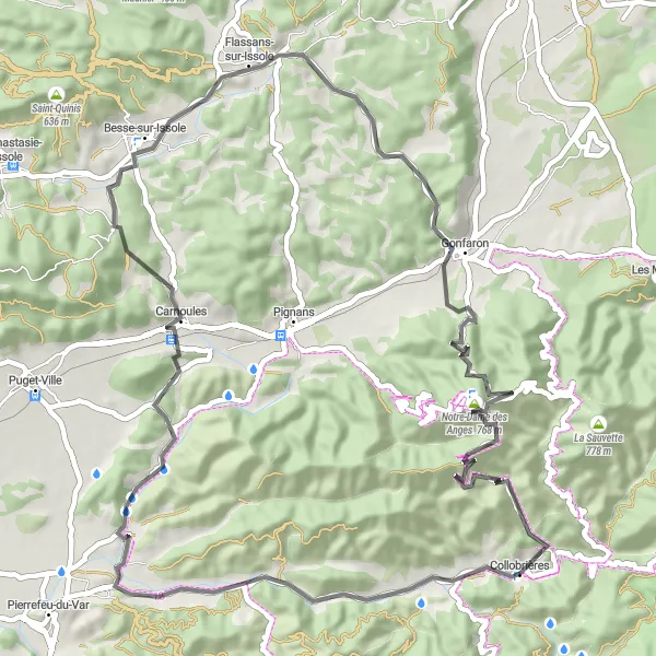
Die 63 km lange Straßentour bietet eine abwechslungsreiche Landschaft und führt Sie zu Highlights wie Montaud und La Roquette. Genießen Sie die malerische Umgebung und die Ruhe der Natur auf dieser Fahrt rund um Collobrières.
road
63 km
975 m
Schwierig
Streckenprofil
Höhepunkte auf der Strecke
0 km
0 km
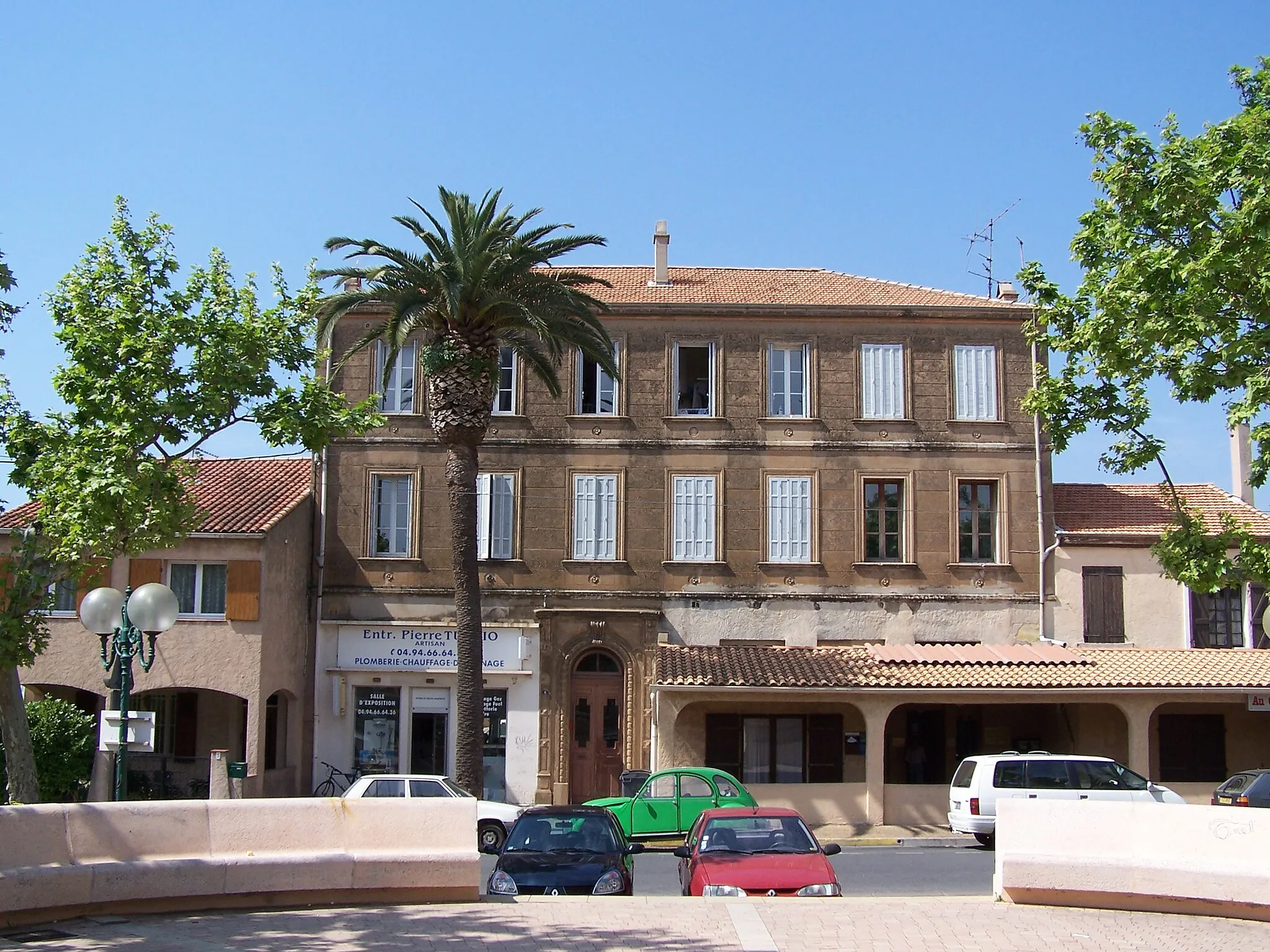
Start: Collobrières Village centerCollobrières: Entspanntes Fahrradfahren in malerischer Umgebung in Collobrières, Provence-Alpes-Côte d’Azur.
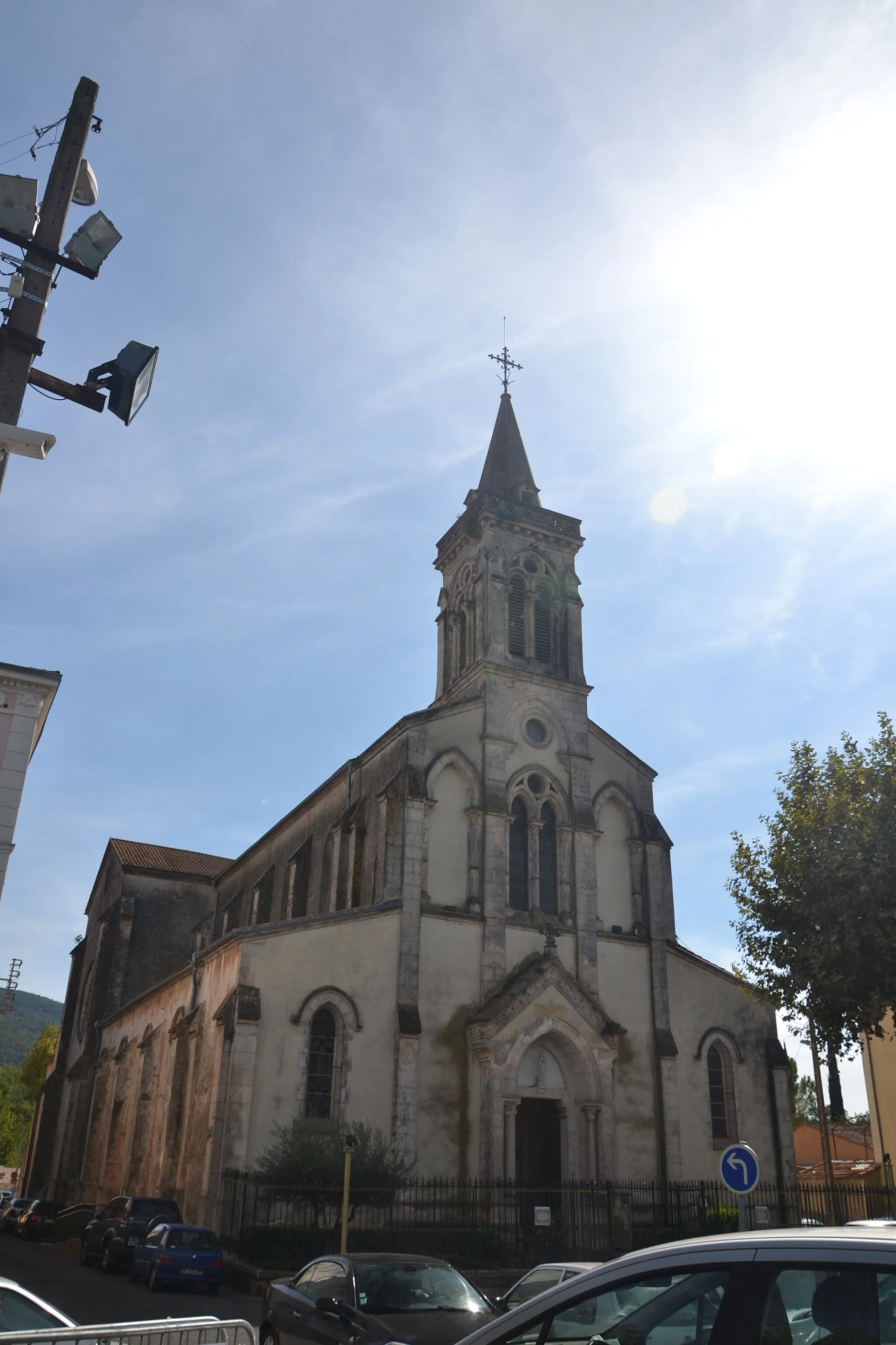
Collobrières ist eine charmante Stadt in der Provence-Alpes-Côte d’Azur, die für ihre malerische Umgebung und entspannte Atmosphäre bekannt ist. Radfahrer können hier abwechslungsreiche Touren unternehmen und bekannte Anstiege wie den Col du Bel Homme erklimmen. Ein beliebtes Ziel für Radsporttouristen.9 km
9 km
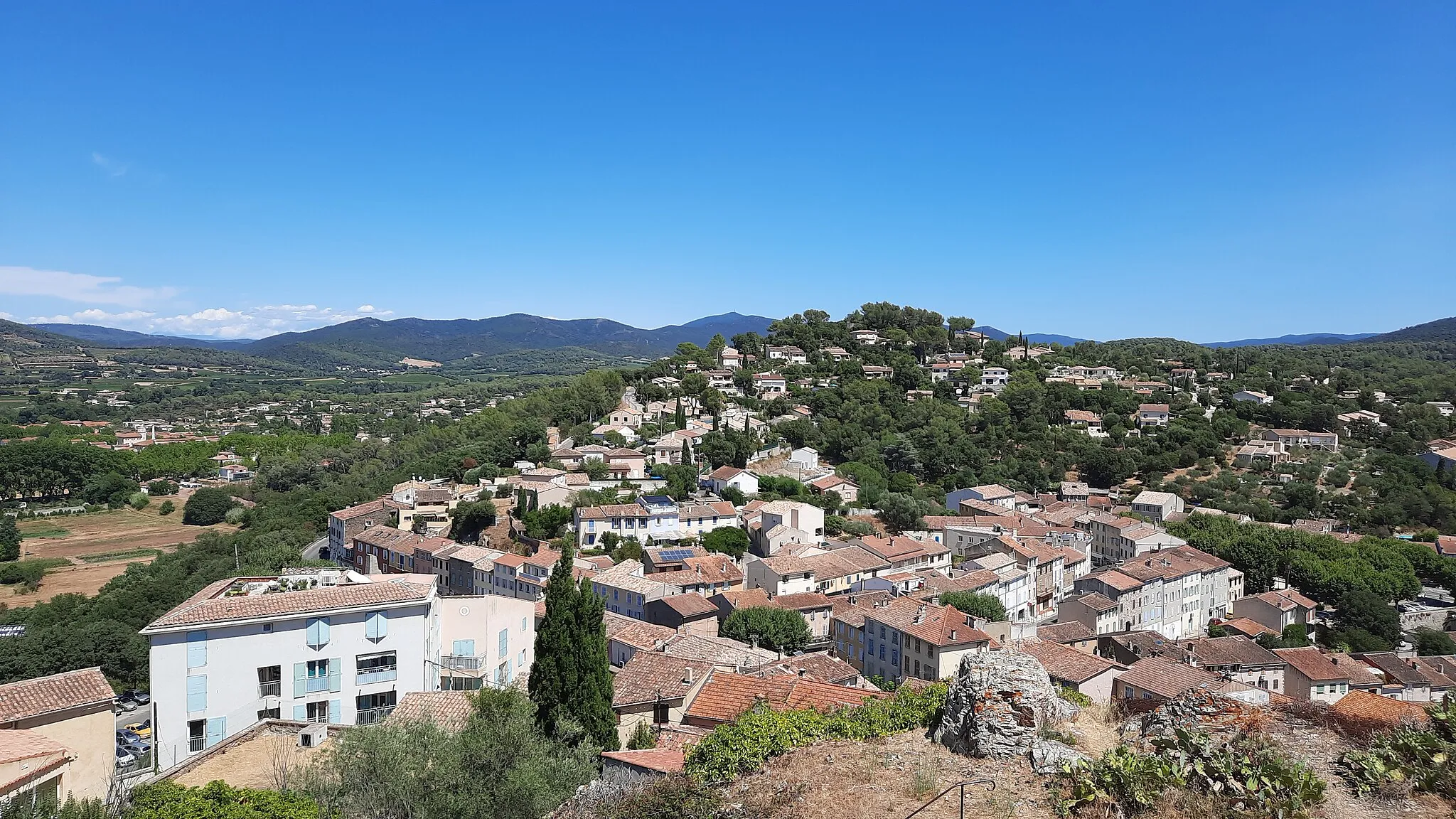
Montaud190 mGipfelBesuchen Sie das charmante Montaud
22 km
22 km
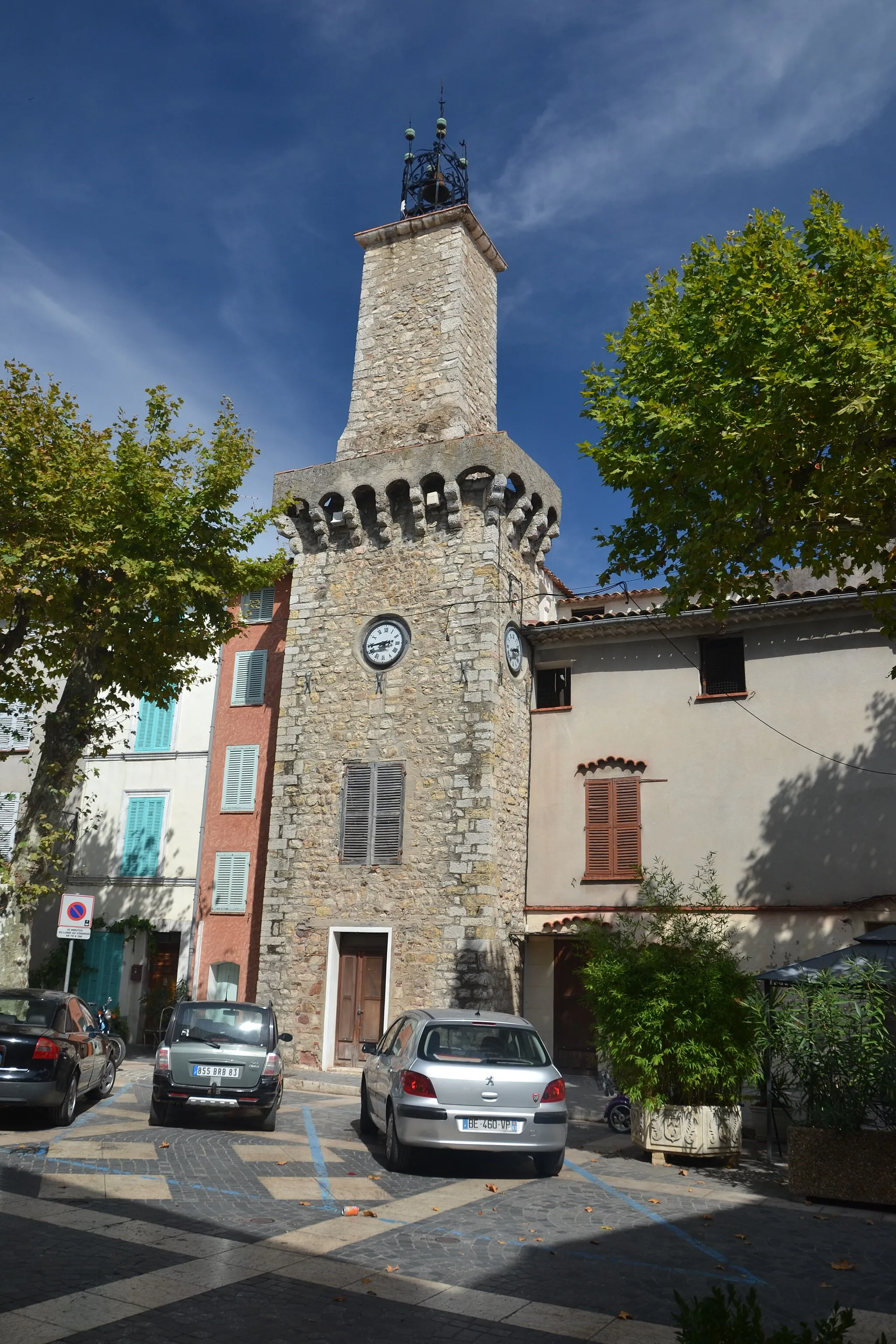
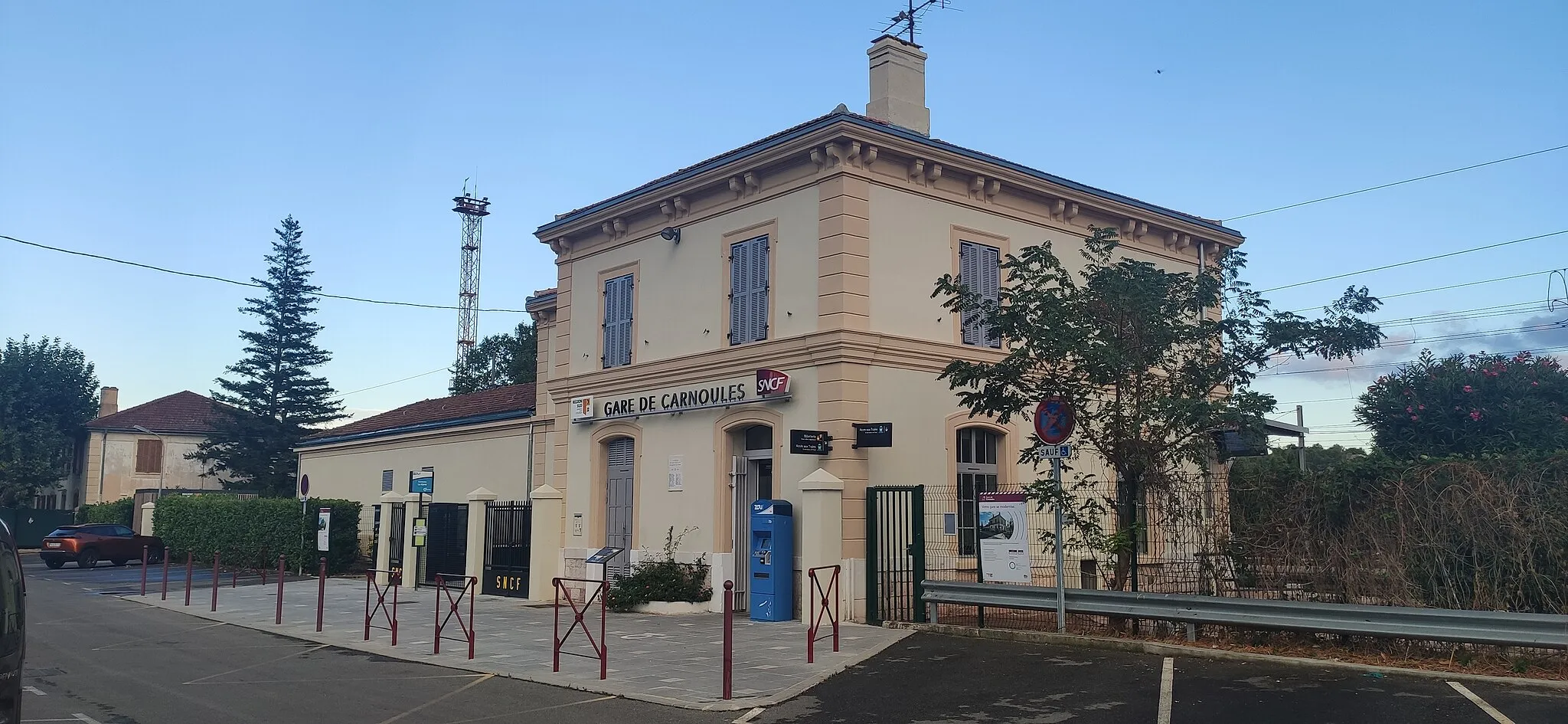
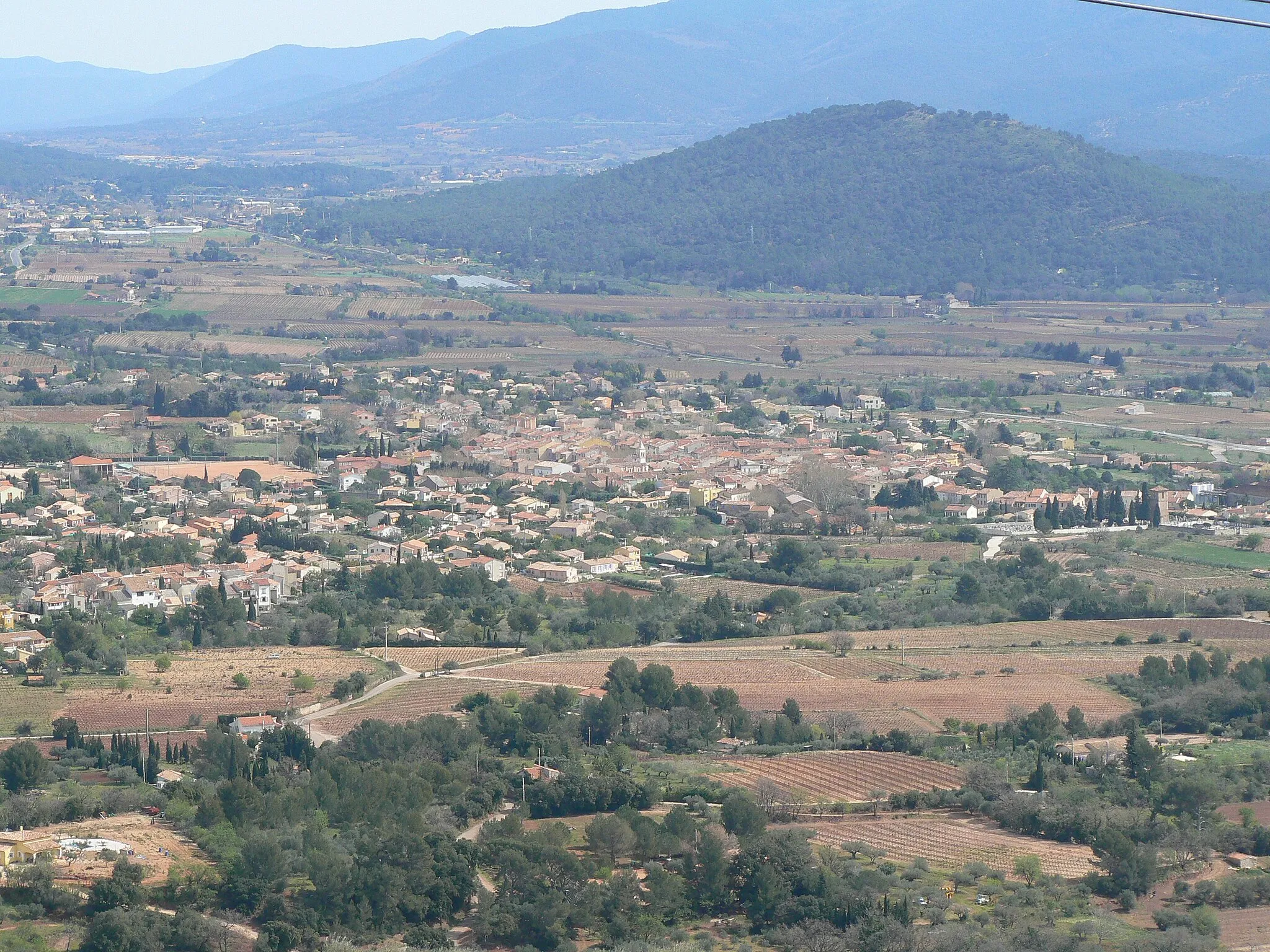
CarnoulesDorfEntdecken Sie das idyllische Carnoules
32 km
32 km
Colle de Belon282 mGipfelErklimmen Sie den Colle de Belon für einen spektakulären Ausblick
42 km
42 km
La Roquette350 mGipfelBesuchen Sie das malerische La Roquette
42 km
42 km
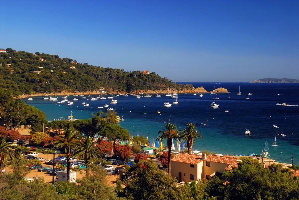
GonfaronDorfErkunden Sie das charmante Gonfaron
53 km
53 km
Le Cros de Panau666 mGipfelGenießen Sie das Panorama vom Cros de Panau
63 km
63 km
CollobrièresDorfKehren Sie zum Ausgangspunkt in Collobrières zurück
63 km
63 km
Ziel: Collobrières Village centerCollobrières: Entspanntes Fahrradfahren in malerischer Umgebung in Collobrières, Provence-Alpes-Côte d’Azur.
Radwege von Collobrieres:
Kleine Runde durch das Massif des Maures Tour de la Massif des Maures Rundtour durch die Küstenorte der Provence Gravel-Abenteuer im Massif des Maures Epische Straßentour durch Provence-Alpes-Côte d'Azur Abwechslungsreiche Straßentour um Collobrières Herausfordernde Schottertour durch die Berge von Collobrières Kurze aber anspruchsvolle Schottertour um Collobrières Große Runde durch das Hinterland von Provence Herausfordernde Schottertour durch Collobrières
In der Nähe befinden sich Fahrradrouten: