Rundfahrt Eyguières - Carry-le-Rouet
Eine road-Radroute, die von Eyguieres aus startet.
Entdecken Sie die malerische Landschaft der Provence auf dieser Rundfahrt
Karte
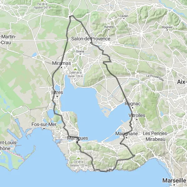
Diese 120 km lange Radroute führt Sie von Eyguières nach Carry-le-Rouet und zurück. Genießen Sie atemberaubende Ausblicke, historische Stätten und die Schönheit der Natur entlang des Weges. Mit 888 m Gesamtaufstieg ist dies eine anspruchsvolle, aber lohnende Radtour.
road
120 km
888 m
Schwierig
Streckenprofil
Höhepunkte auf der Strecke
0 km
0 km
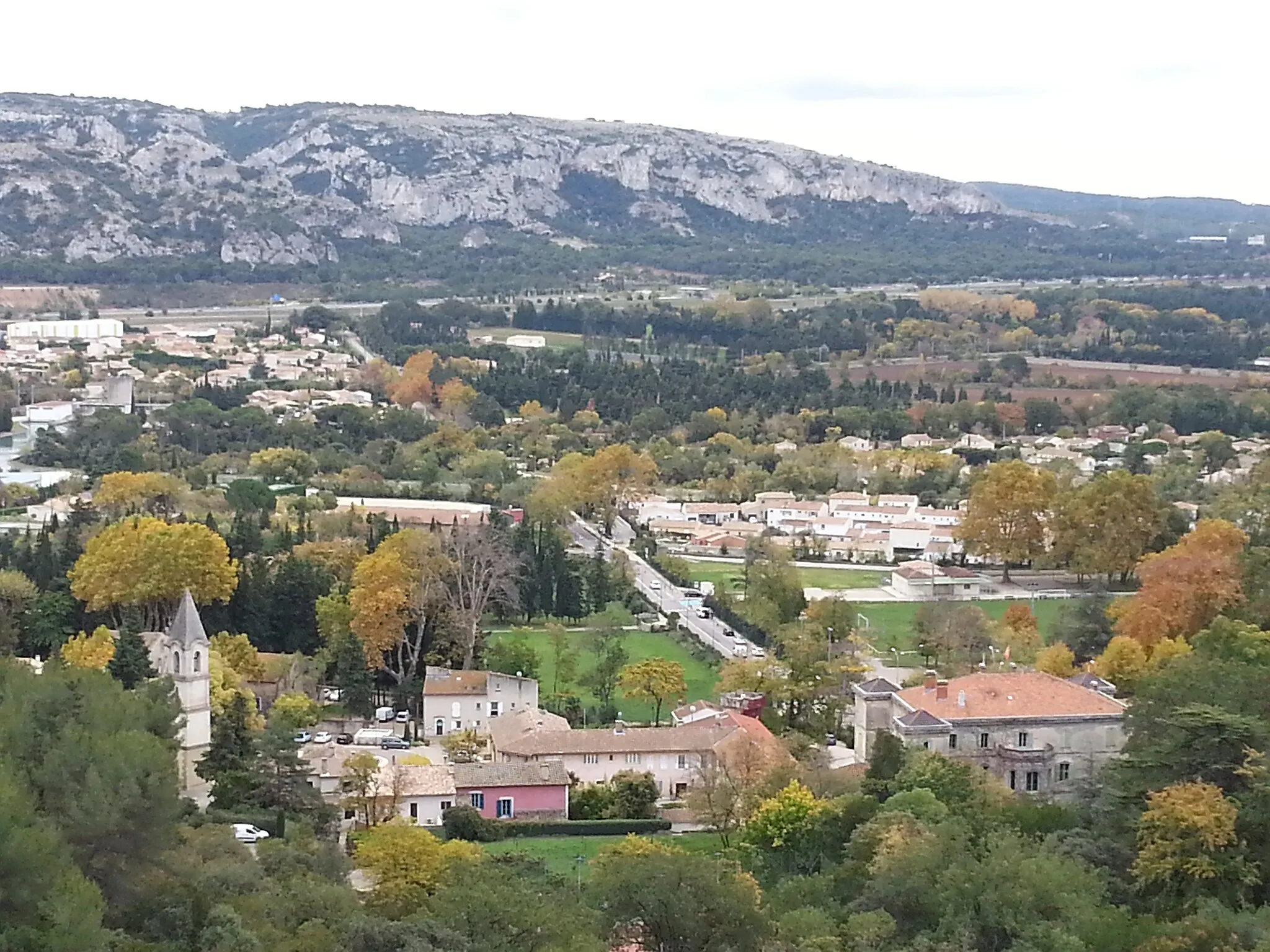
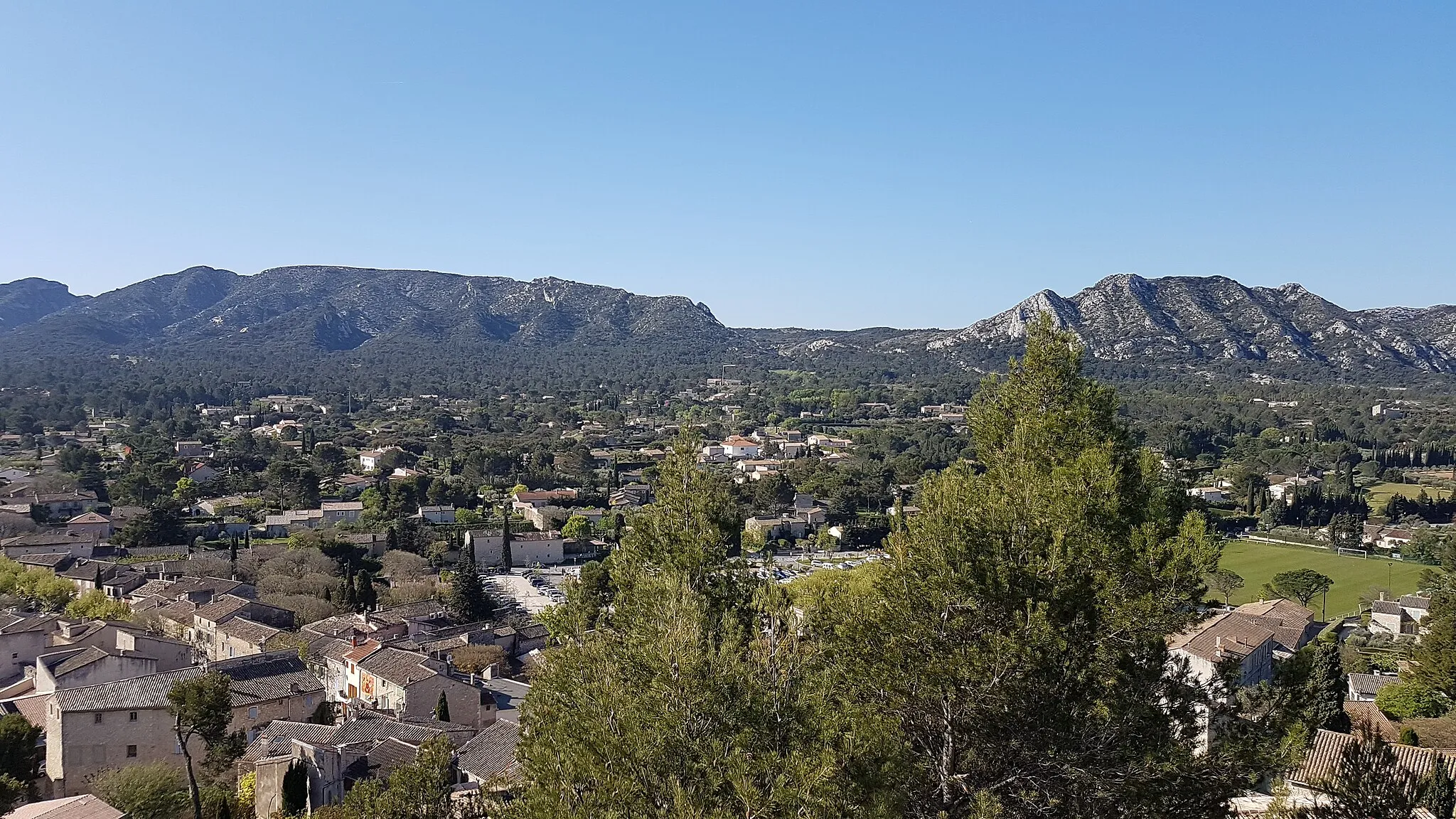
Start: Eyguières Village centerEyguières: Malerrische Landschaft und anspruchsvolle Anstiege
Eyguières ist eine charmante Stadt in der Region Provence-Alpes-Côte d’Azur. Als Radfahrer finden Sie hier einige schöne Strecken durch die malerische Landschaft. Es ist auch ein guter Ausgangspunkt, um die umliegenden Berge zu erkunden. In der Nähe gibt es einige anspruchsvolle Anstiege, die für erfahrene Radfahrer geeignet sind.0 km
0 km
EyguièresDorfEntdecken Sie die charmante Stadt Eyguières.
9 km
9 km
Salon de ProvenceStadtBesuchen Sie das historische Zentrum von Salon de Provence.
22 km
22 km
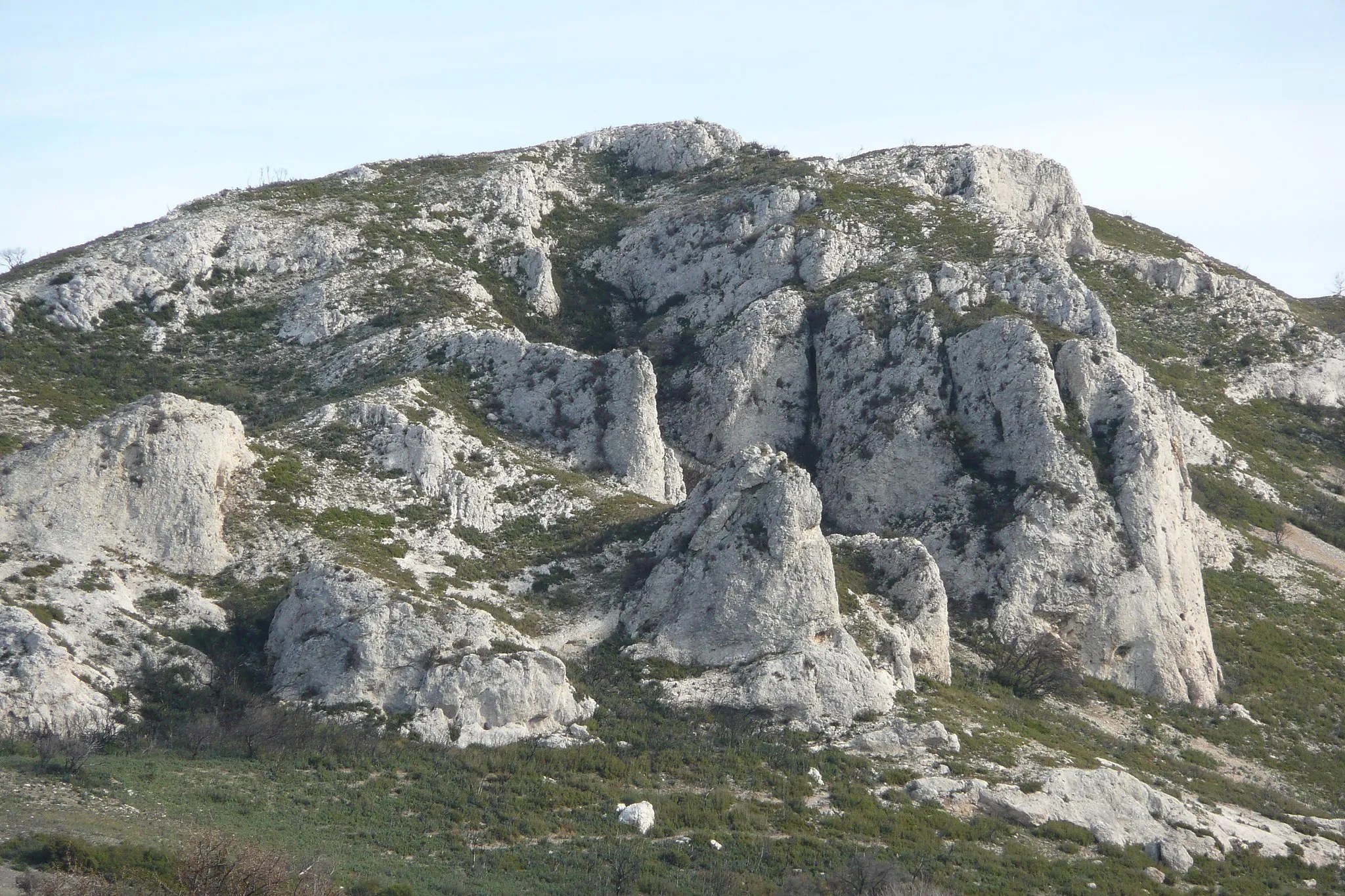
VigieAussichtspunktGenießen Sie den Panoramablick von der Vigie.
31 km
31 km
Collet de Mourre Redon100 mGipfelErklimmen Sie den Collet de Mourre Redon für eine fantastische Aussicht.
42 km
42 km
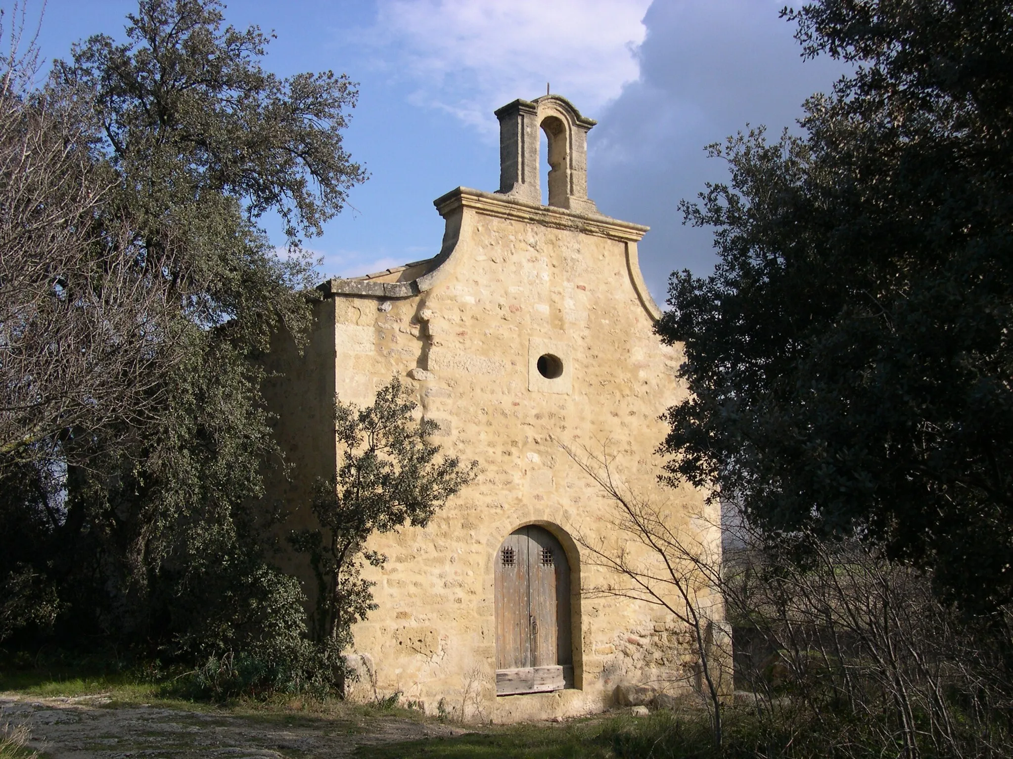
Saint-VictoretDorfEntspannen Sie in Saint-Victoret, einem malerischen Dorf.
53 km
53 km
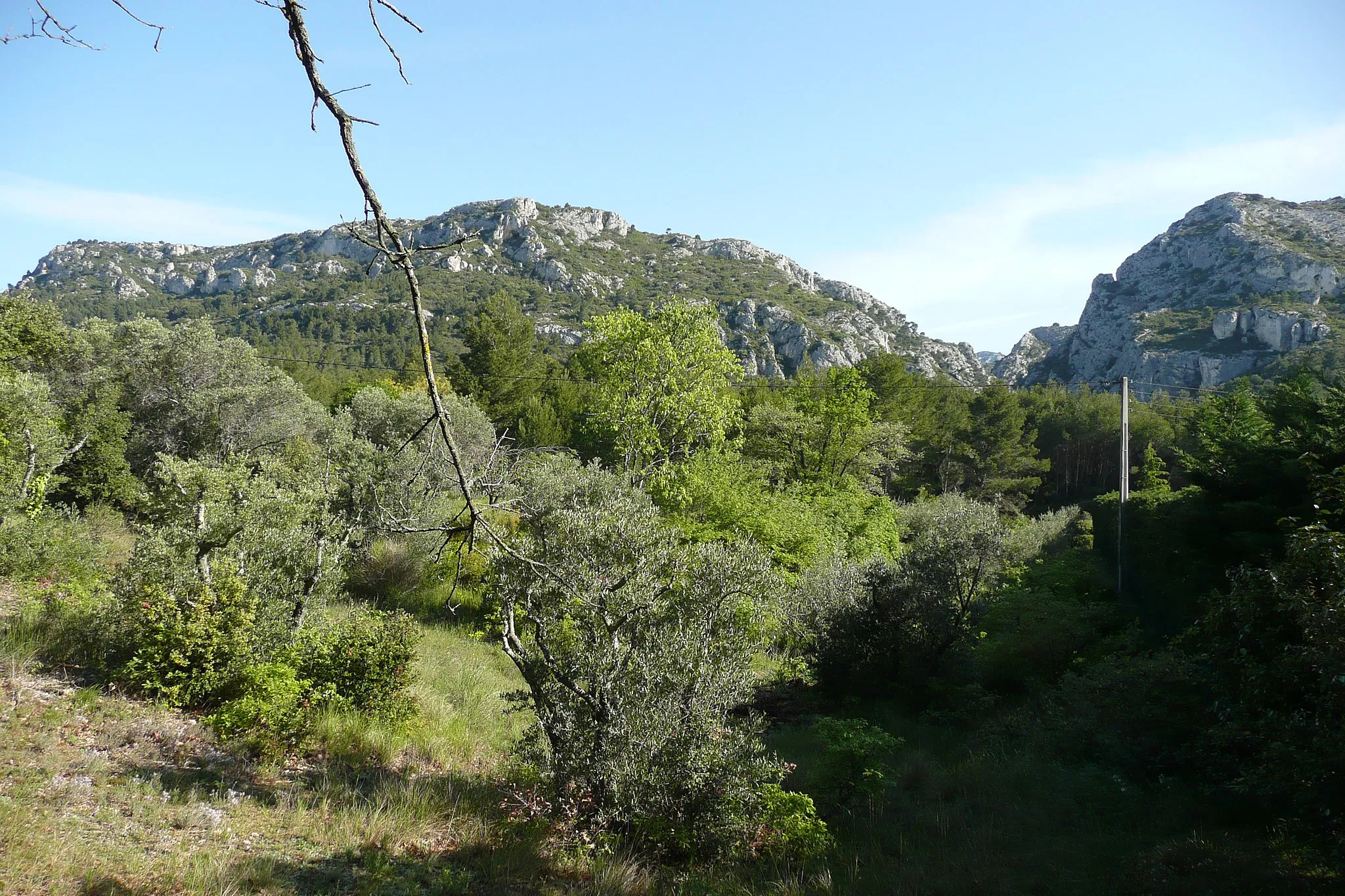
Le Douard231 mGipfelErkunden Sie die schönen Umgebung von Le Douard.
63 km
63 km
Carry-le-RouetDorfBesuchen Sie das Küstendorf Carry-le-Rouet.
79 km
79 km
Pont levantAussichtspunktErleben Sie die imposante Pont levant, eine Hubbrücke.
88 km
88 km
Saint-Mitre-les-RempartsDorfEntdecken Sie das charmante Saint-Mitre-les-Remparts.
97 km
97 km
IstresStadtErkunden Sie die Stadt Istres.
102 km
102 km
Bernette80 mGipfelBesuchen Sie das malerische Dorf Bernette.
120 km
120 km
Ziel: Eyguières Village centerEyguières: Malerrische Landschaft und anspruchsvolle Anstiege
Radwege von Eyguieres:
Gravel-Tour von Eyguières nach Aureille Rundtour Mouriès - Eyguières Rundtour Salon de Provence Gravel-Route vom Eyguières zum Grand Puech Rundfahrt Eyguières - Carry-le-Rouet Gravel-Tour Eyguières - Château Roquemartine Gravel-Tour Eyguières - Le Mont Menu Road-Tour durch Salon de Provence und Saint-Chamas Gravel-Erlebnis zum Château de la Barben Rundtour durch die malerische Provence Rundkurs von Eyguières
In der Nähe befinden sich Fahrradrouten: