Kurze Graveltour ab Pourrières
Eine gravel-Radroute, die von Pourrieres aus startet.
Genießen Sie eine kurze Gravelfahrt von Pourrières aus!
Karte
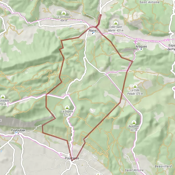
Diese 40 km lange Strecke mit 707 m Aufstieg führt Sie zu Highlights wie dem Collet du Pouchon, Rians und dem Collet de la Reinache. Erkunden Sie die landschaftliche Vielfalt der Region und machen Sie Halt in Pourrières für eine erholsame Pause.
gravel
40 km
707 m
Entspannen
Streckenprofil
Höhepunkte auf der Strecke
0 km
0 km
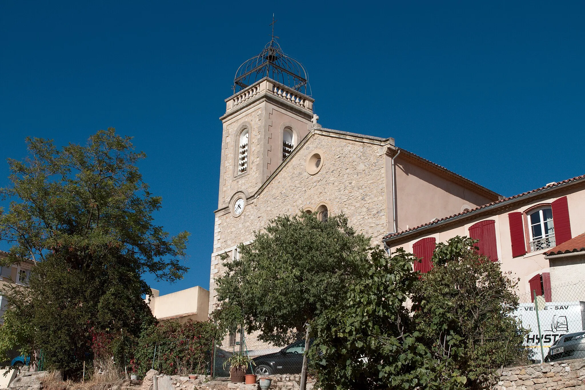
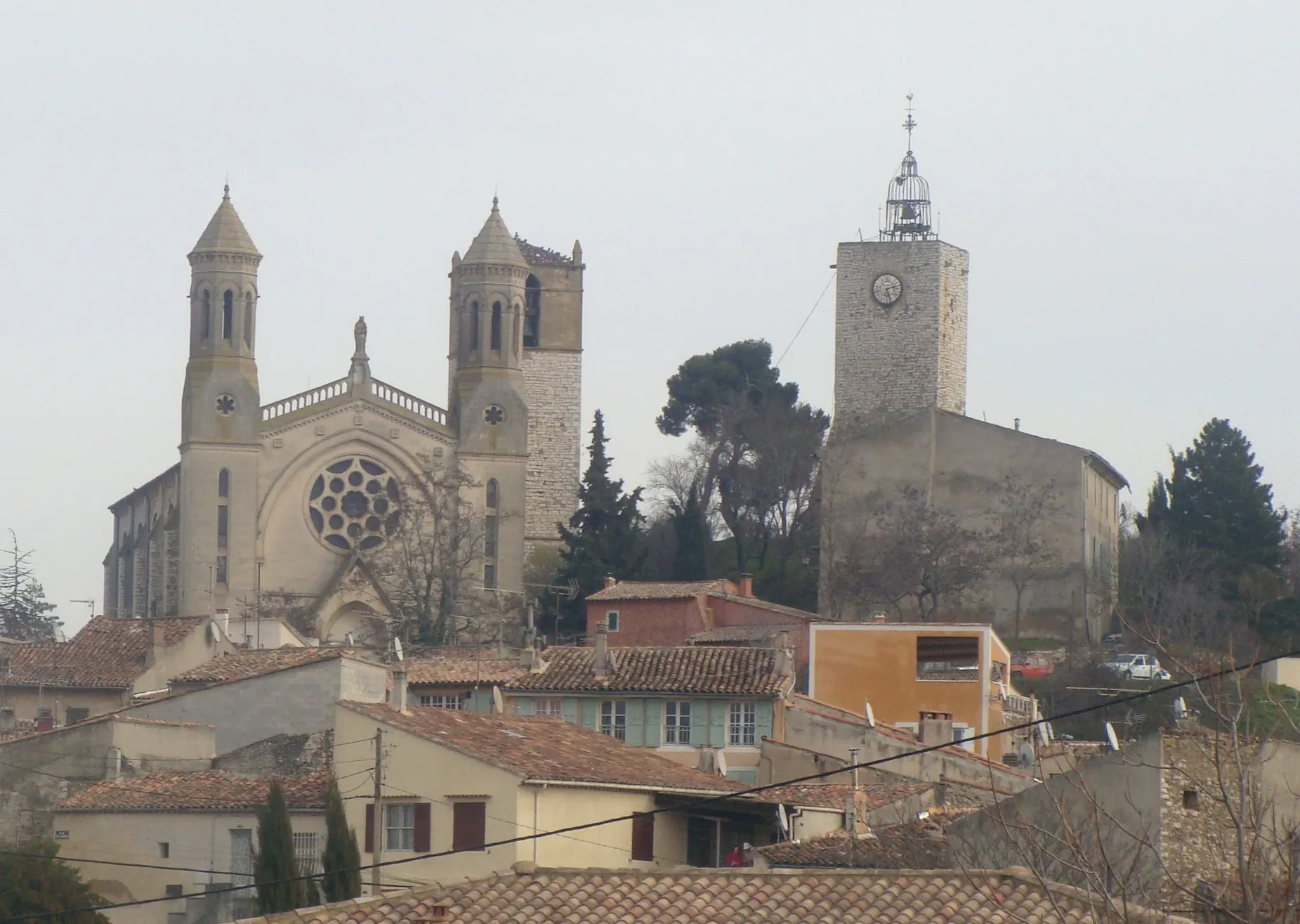
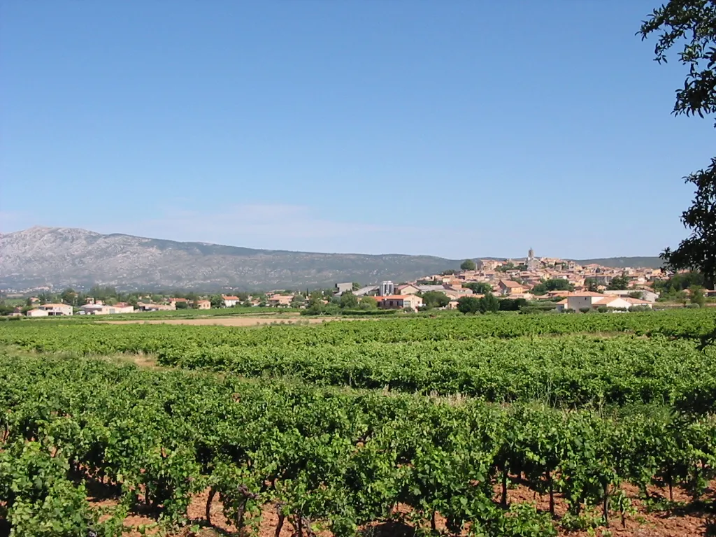
Start: Pourrières Village centerPourrières: Herausfordernde Anstiege und spektakuläre Ausblicke
Pourrières ist ein Paradies für Radfahrer, mit herausfordernden Anstiegen und spektakulären Ausblicken. Die Region ist bekannt für ihre steilen Bergstraßen und ist ein beliebtes Ziel für Radsportler.7 km
7 km
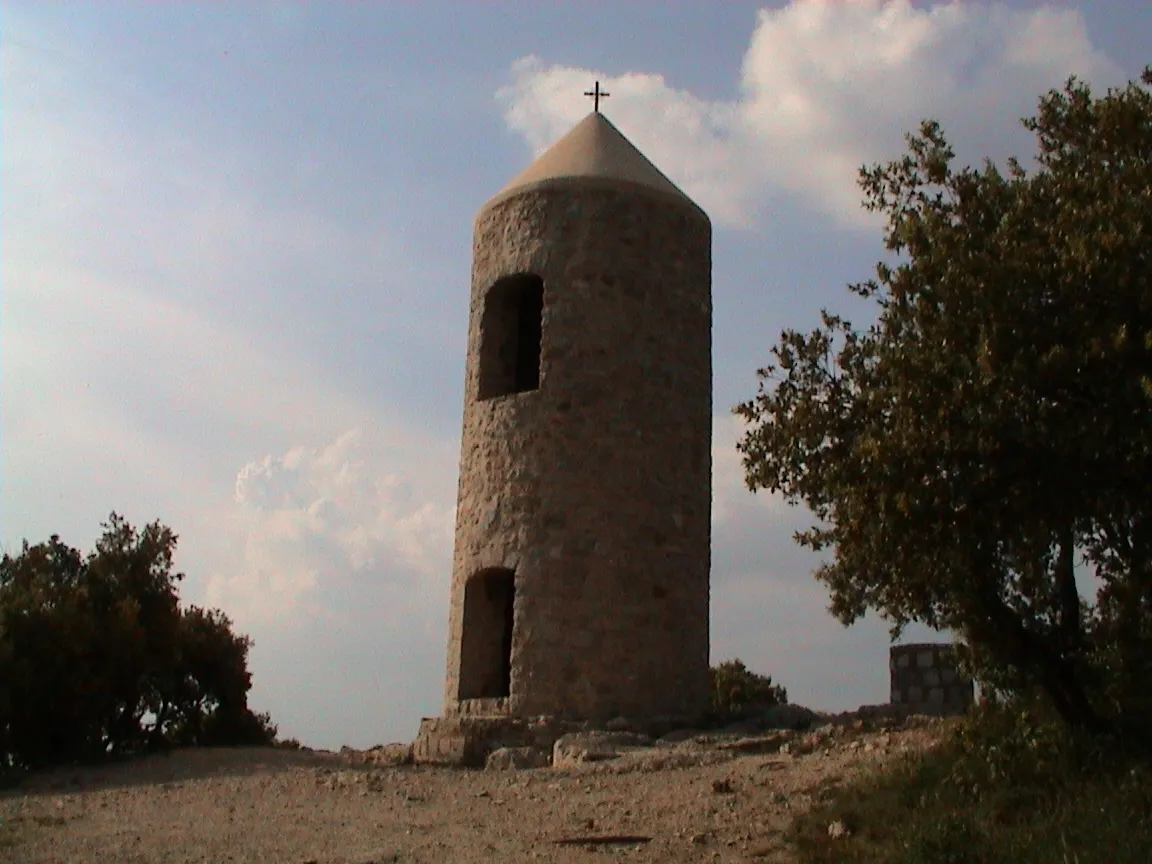
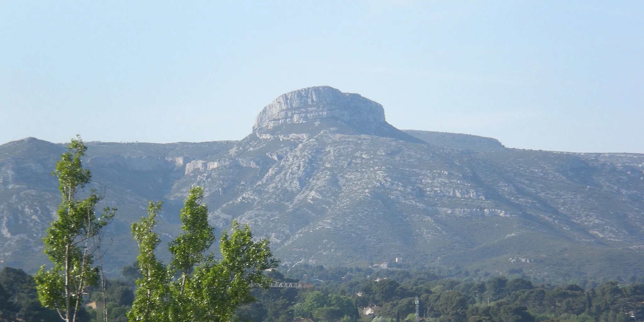
Collet du Pouchon531 mGipfelDer Collet du Pouchon bietet eine spektakuläre Aussicht auf die Umgebung.
19 km
19 km
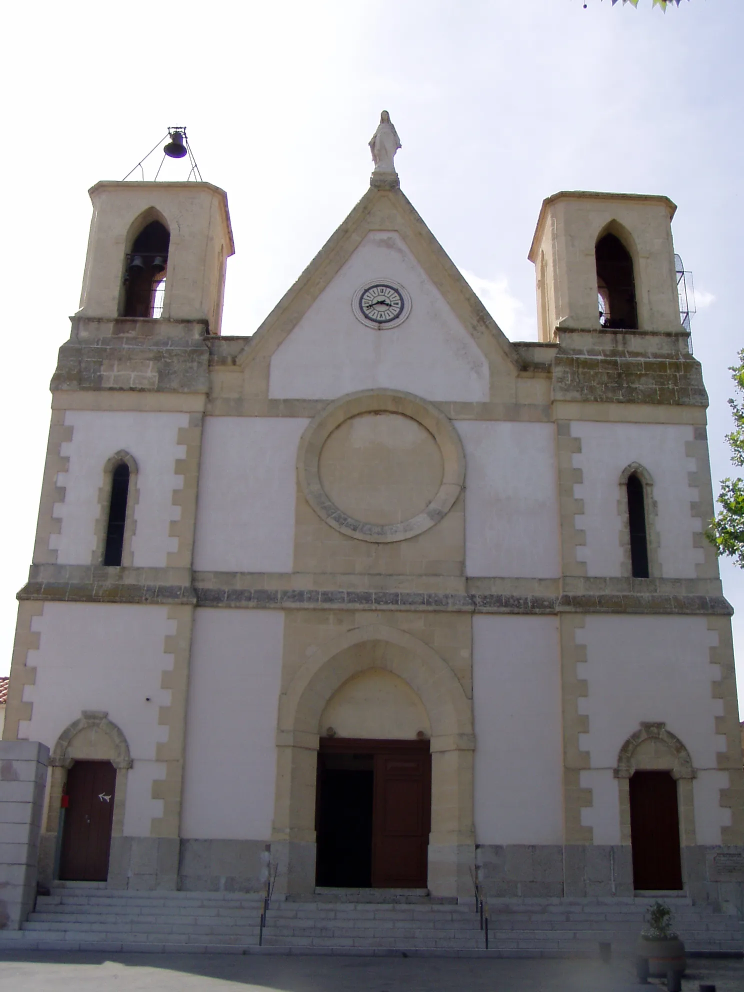
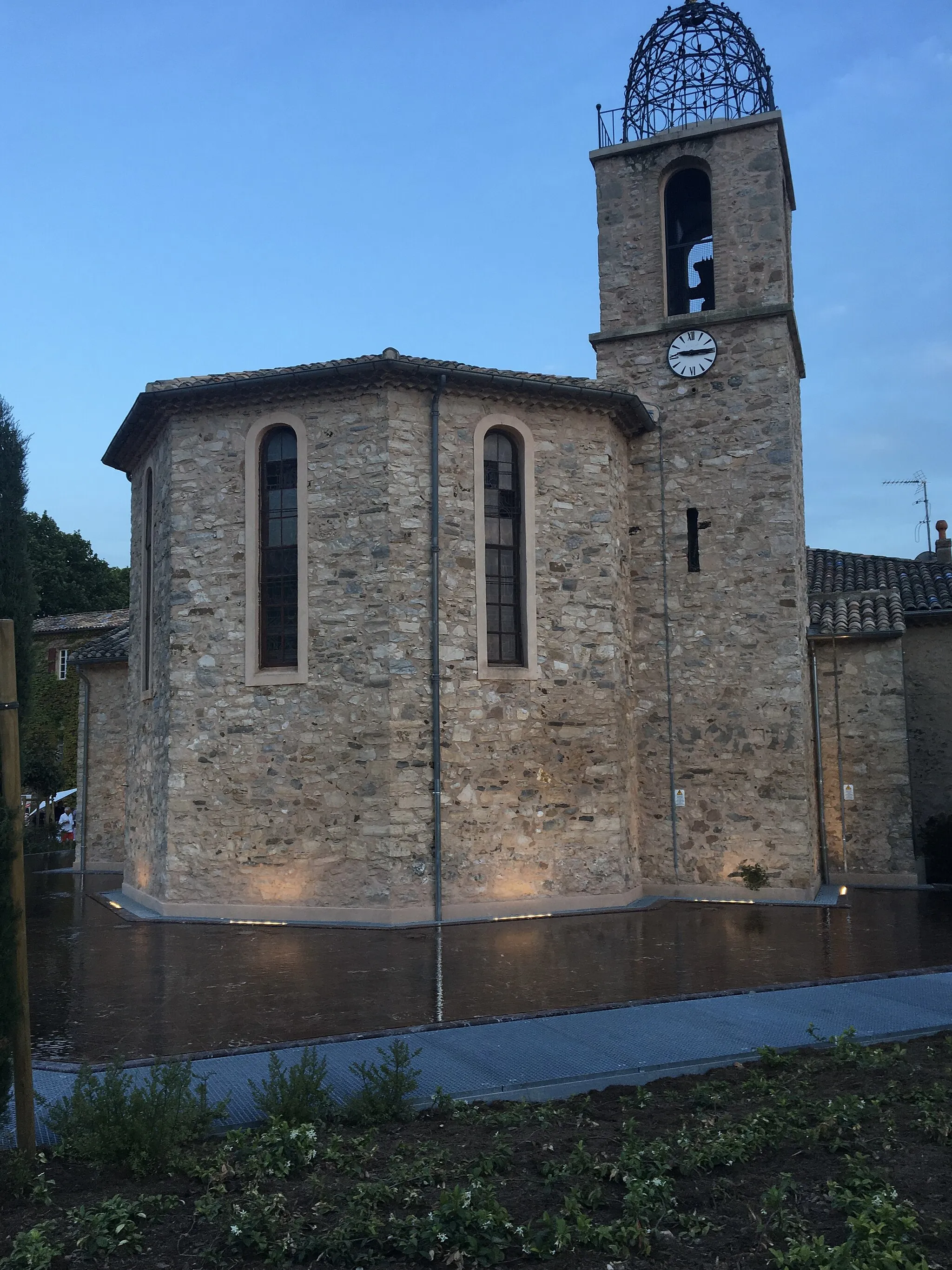
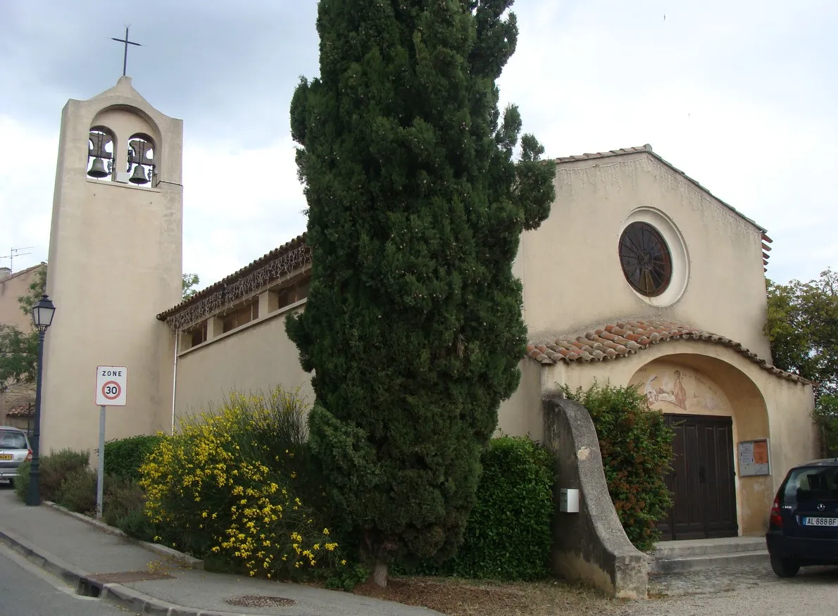
RiansDorfRians ist ein malerisches Dorf mit historischem Flair.
21 km
21 km
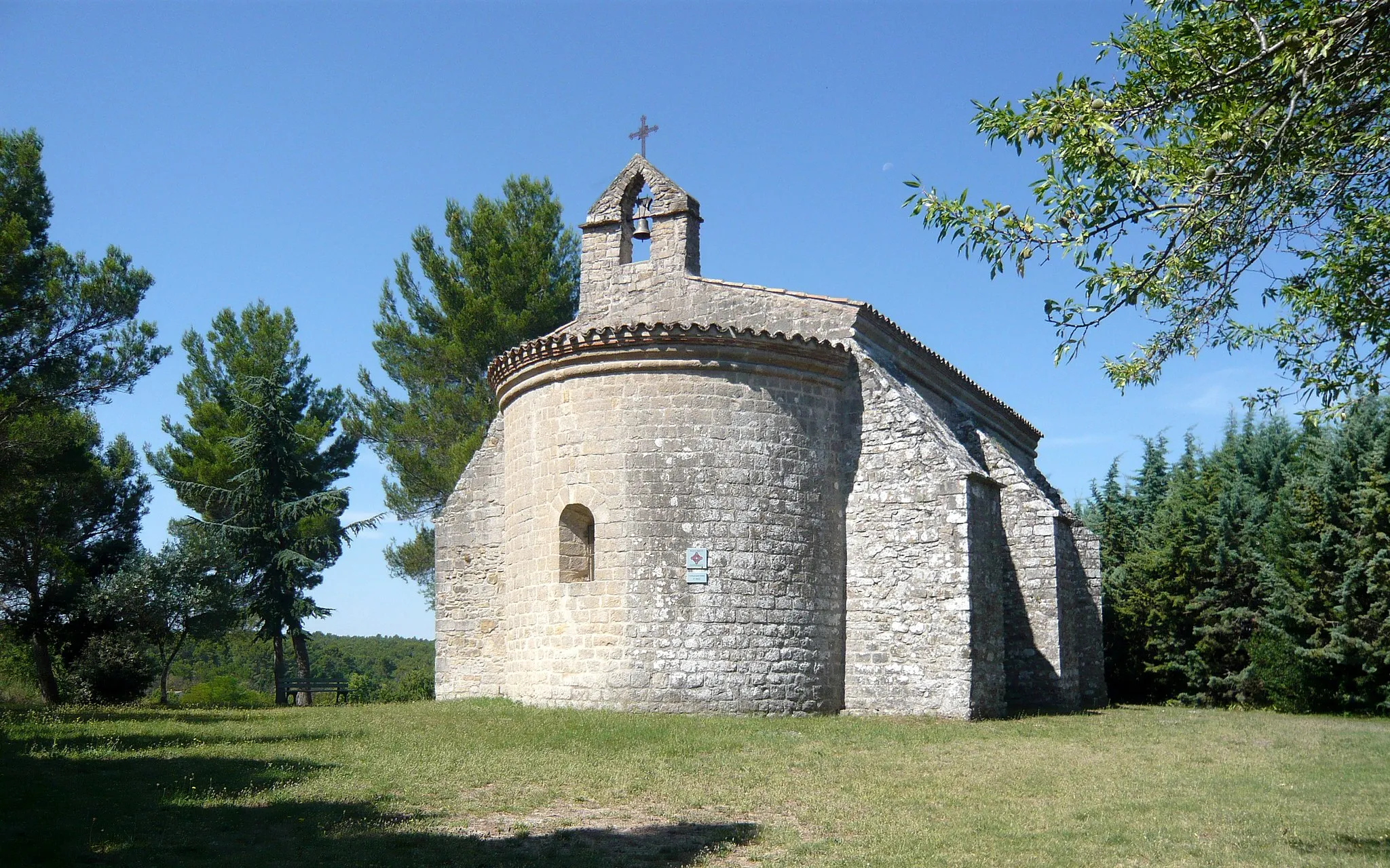
Collet de la Reinache417 mGipfelDer Collet de la Reinache bietet eine beeindruckende Aussicht auf die Landschaft.
40 km
40 km
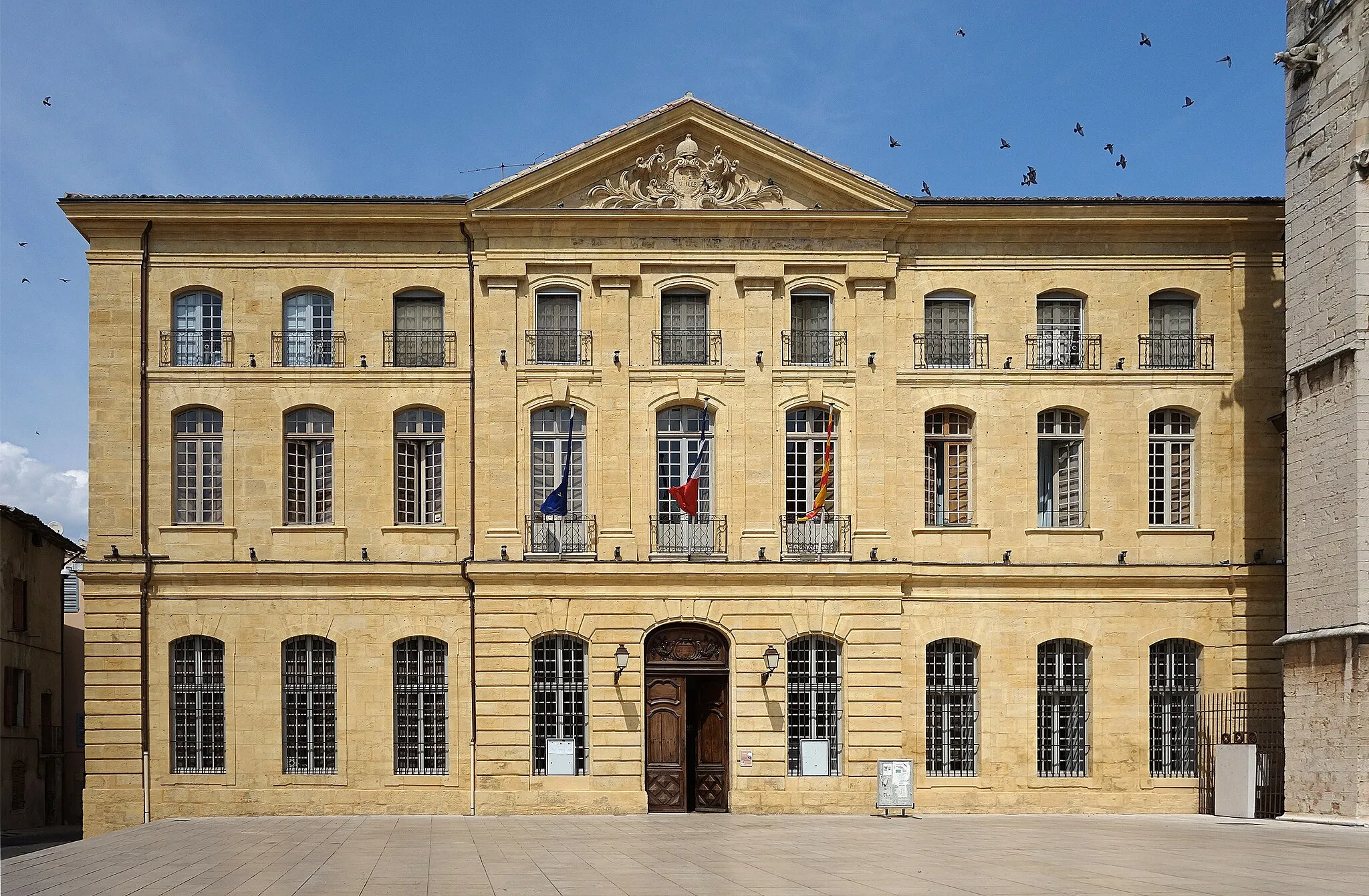
PourrièresDorfPourrières ist ein ausgezeichneter Startpunkt für Ihre Graveltour durch die Region.
40 km
40 km
Ziel: Pourrières Village centerPourrières: Herausfordernde Anstiege und spektakuläre Ausblicke
Radwege von Pourrieres:
Tour de Pourrières Gravel-Tour um Pourrières Abenteuer auf Schotterwegen um Pourcieux Kurze Graveltour ab Pourrières Rundtour durch das Hinterland von Pourrières Herausforderung im Hinterland von Pourrières Tour von Pourrières nach Rians Gravelroute durch die Provence Rundweg ab Pourrières: Collet de Louchon Straßentour von Pourrières nach Collet de Mourgues Abenteuerliche Graveltour in Provence-Alpes-Côte d'Azur Herausfordernde Bergtour durch Provence-Alpes-Côte d'Azur
In der Nähe befinden sich Fahrradrouten: