Fahrt entlang des Flusses Rhône
Eine road-Radroute, die von Allan aus startet.
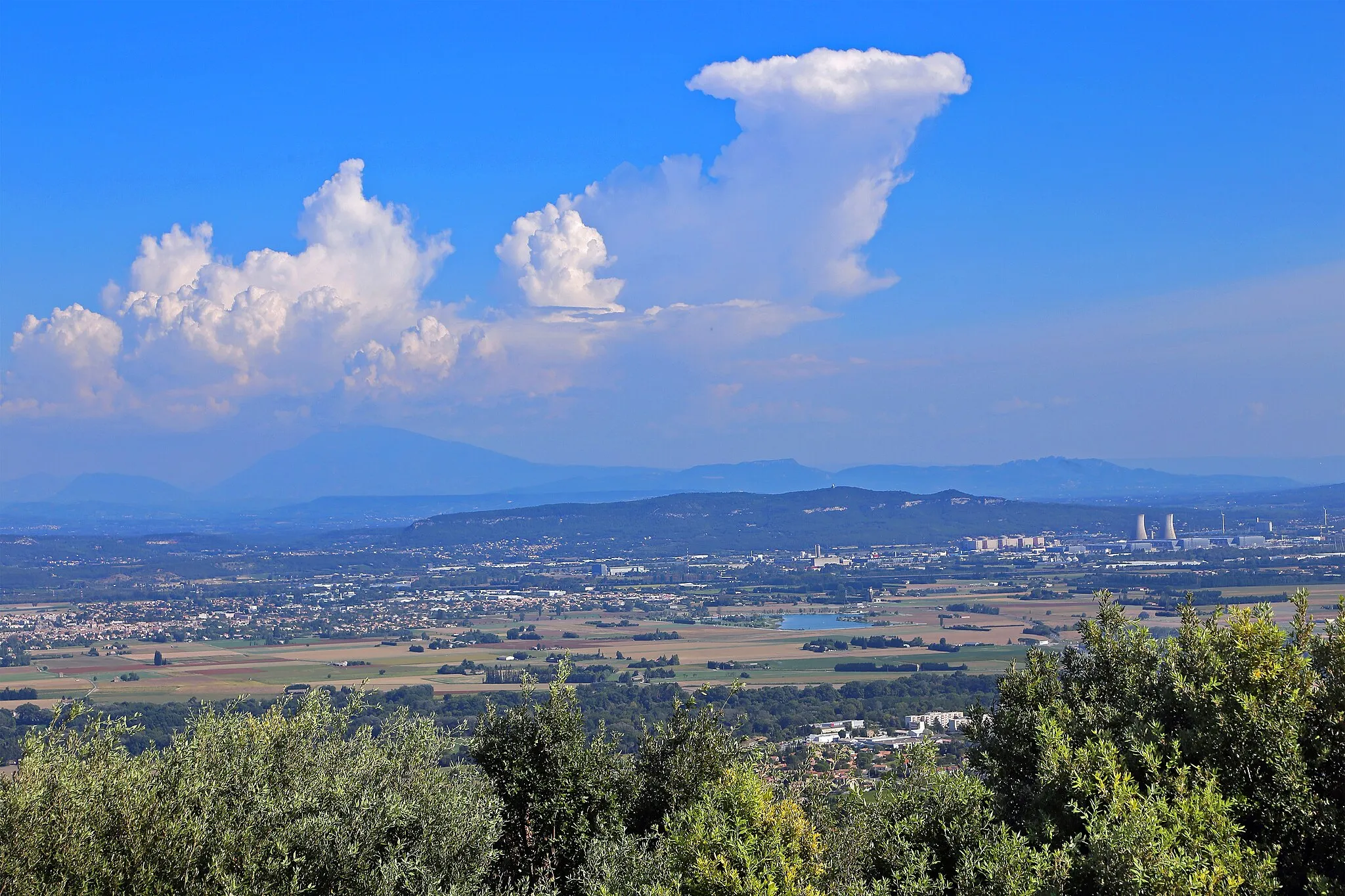
Entdecken Sie die Schönheit der Rhône entlang dieser Route
Karte
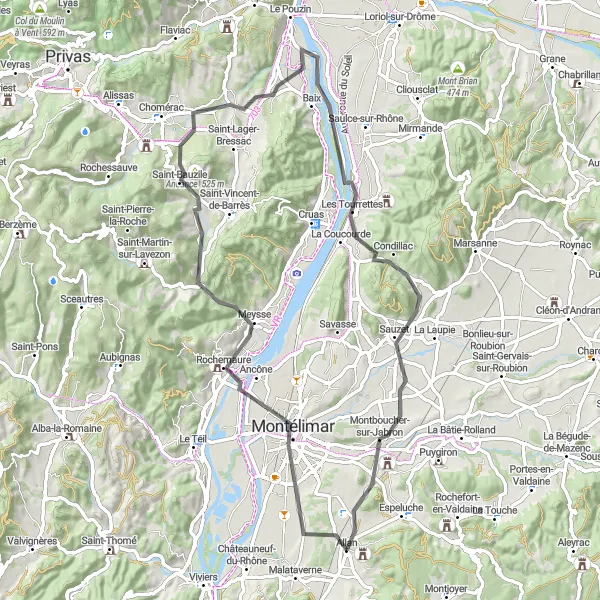
Diese 73 km lange Tour führt Sie von Montélimar durch Meysse und Andance nach Les Tourrettes und Montboucher-sur-Jabron. Genießen Sie atemberaubende Landschaften und malerische Dörfer entlang des Weges.
road
73 km
611 m
Schwierig
Streckenprofil
Höhepunkte auf der Strecke
0 km
0 km
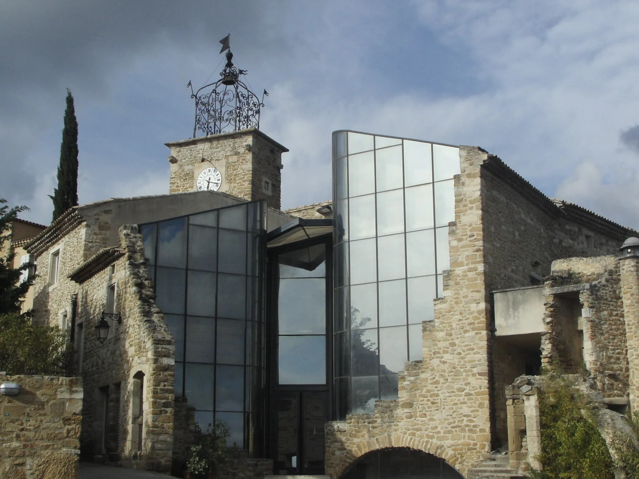
Start: Allan Village centerAllan: Entspanntes Radfahren durch die Natur
Allan ist eine kleine Stadt in Rhône-Alpes, die von sanften Hügeln und üppiger Natur umgeben ist. Radfahrer können hier entspannte Touren genießen und die ländliche Atmosphäre erleben.8 km
8 km
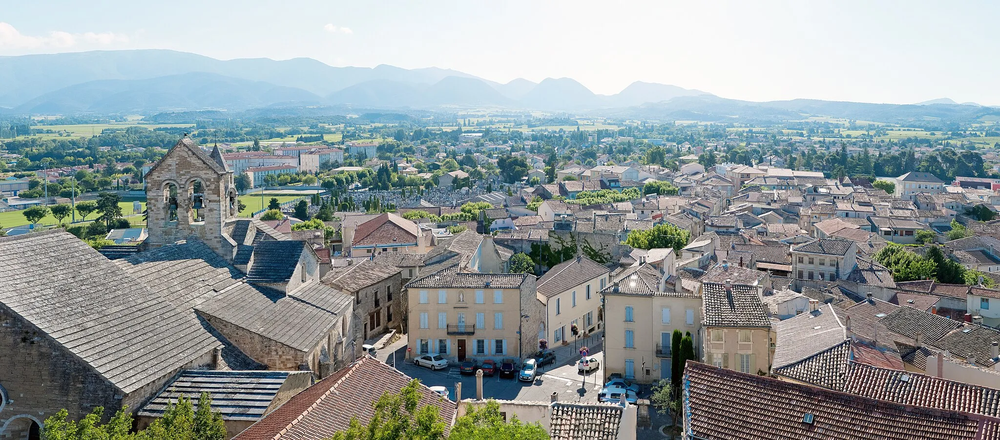
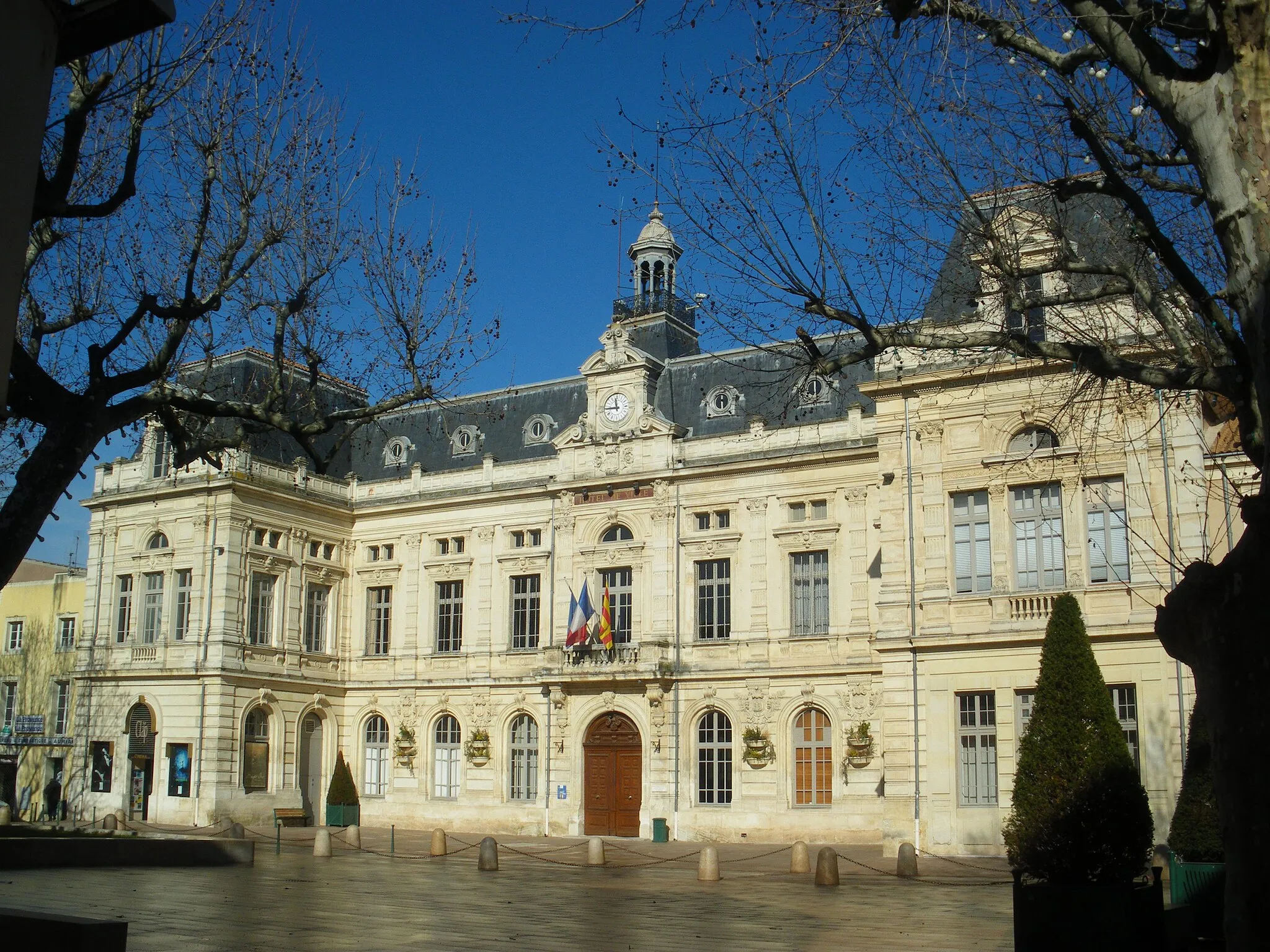
MontélimarStadtGenießen Sie die berühmte Lavendellandschaft in Montélimar.
16 km
16 km
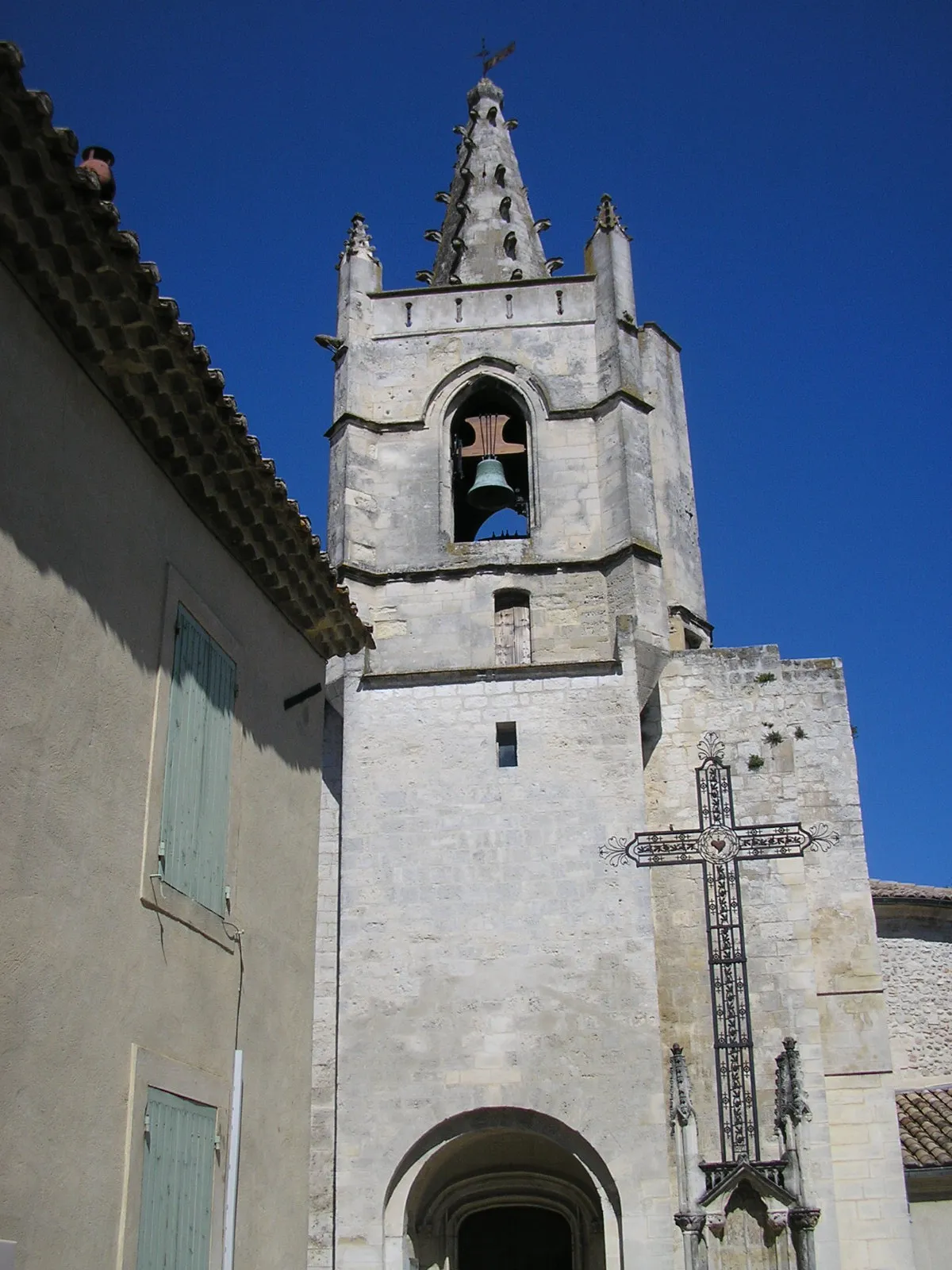
MeysseDorfMeysse ist bekannt für seine historische Architektur und charmanten Straßen.
27 km
27 km
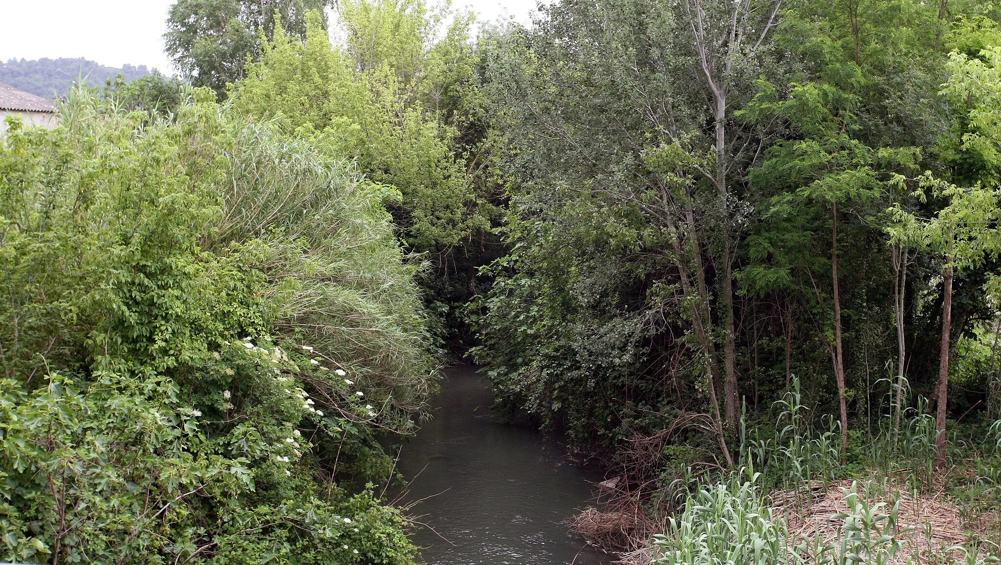
Andance525 mGipfelAndance bietet eine beeindruckende Aussicht auf die Rhône.
50 km
50 km
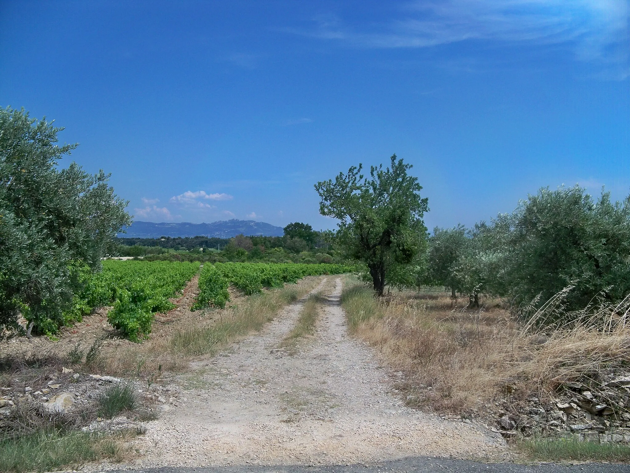
Les TourrettesDorfEntdecken Sie die Schönheit von Les Tourrettes und ihre idyllischen Weinberge.
66 km
66 km
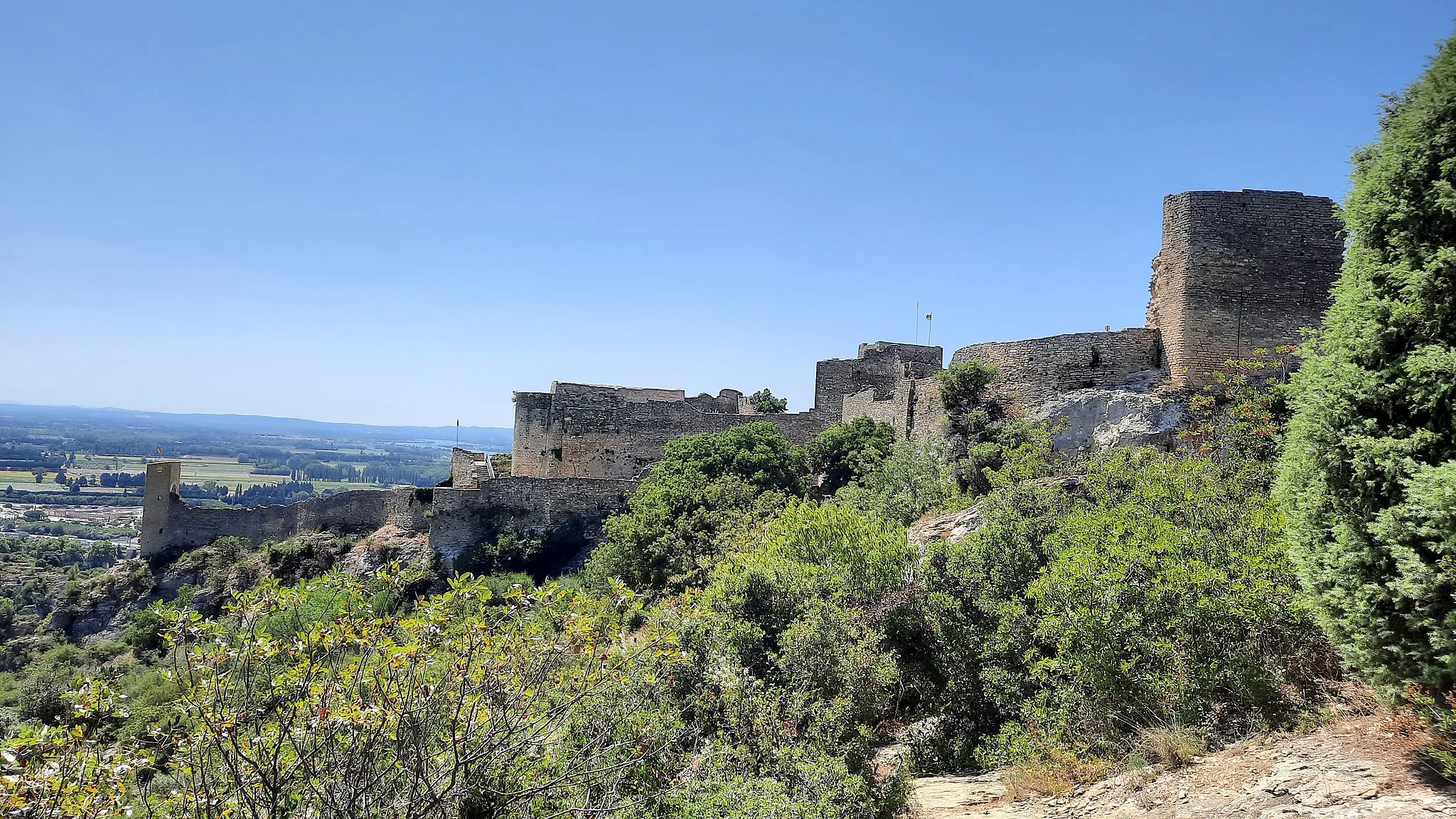
Montboucher-sur-JabronDorfMontboucher-sur-Jabron lädt zum Verweilen ein und ist für seine mittelalterliche Burg bekannt.
73 km
73 km
Ziel: Allan Village centerAllan: Entspanntes Radfahren durch die Natur
Radwege von Allan:
Fahrt entlang des Flusses Rhône Rundtour durch Roussas und Pierrelatte Allan-Rundfahrt durch Dörfer und Landschaften Montboucher-sur-Jabron Rundweg Die Weinberge der Drôme Provençale Schöne Gravelstrecke durch die Landschaft Abenteuerliche Schottertour durch die Natur Gravel-Abenteuer rund um Allan und Col de l'Homme Grüne Wege um Allan herum Allan nach Grignan Tour
In der Nähe befinden sich Fahrradrouten: