Abenteuerliche Fahrt nach Marcieu und La Motte-Saint-Martin
Eine gravel-Radroute, die von La Motte-Saint-Martin aus startet.
Eine aufregende Route durch malerische Dörfer und unberührte Landschaften.
Karte

Diese 66 km lange Strecke bietet eine Mischung aus unbefestigten Wegen und herausfordernden Anstiegen. Die Tour führt durch idyllische Orte wie Marcieu und La Motte-Saint-Martin und bietet spektakuläre Ausblicke auf die umliegende Natur. Erleben Sie die Schönheit der französischen Landschaft und entdecken Sie versteckte Juwelen entlang des Weges. Ideal für Abenteurer und Naturliebhaber.
gravel
66 km
2031 m
Schwierig
Streckenprofil
Höhepunkte auf der Strecke
0 km
0 km
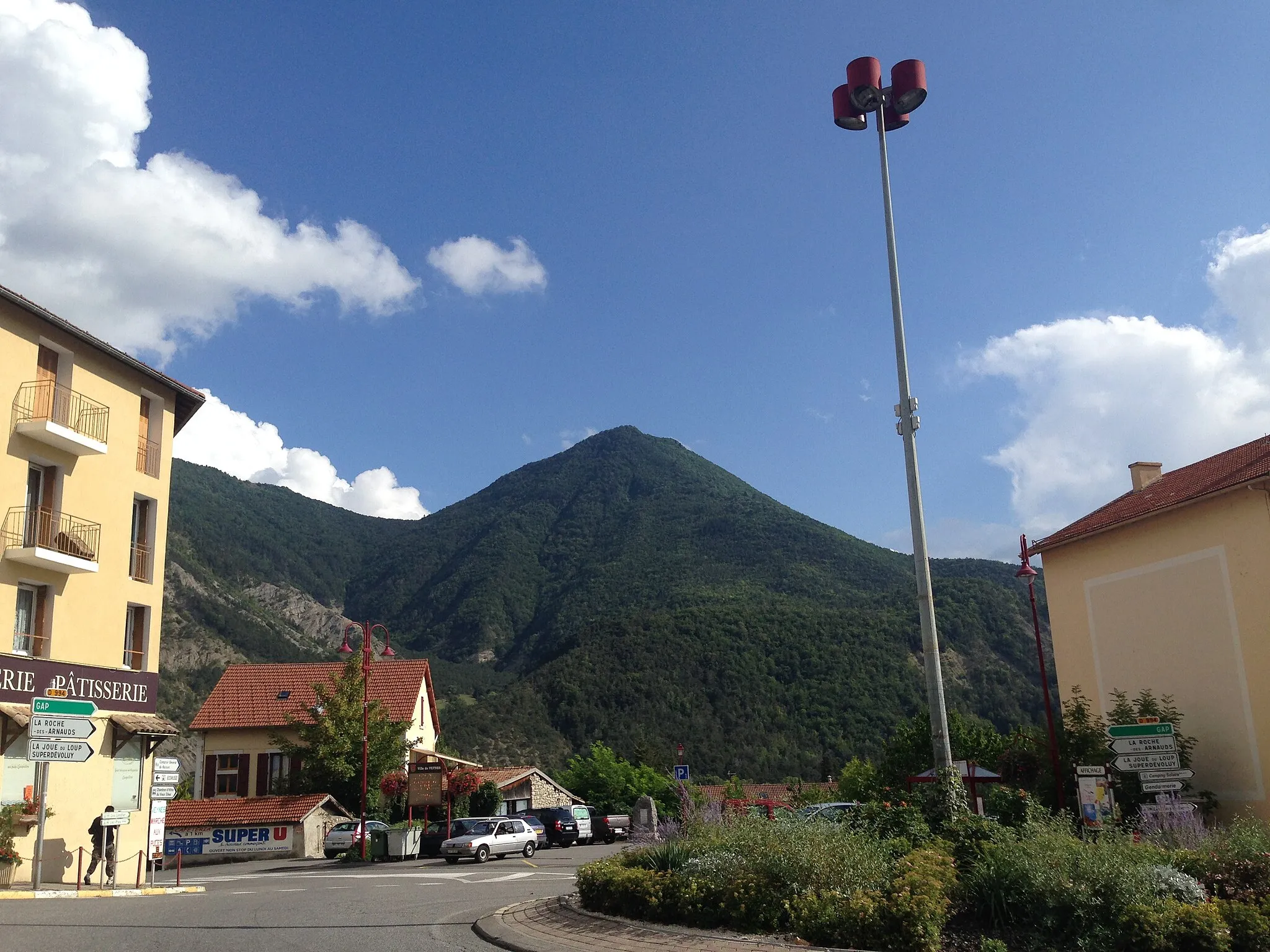
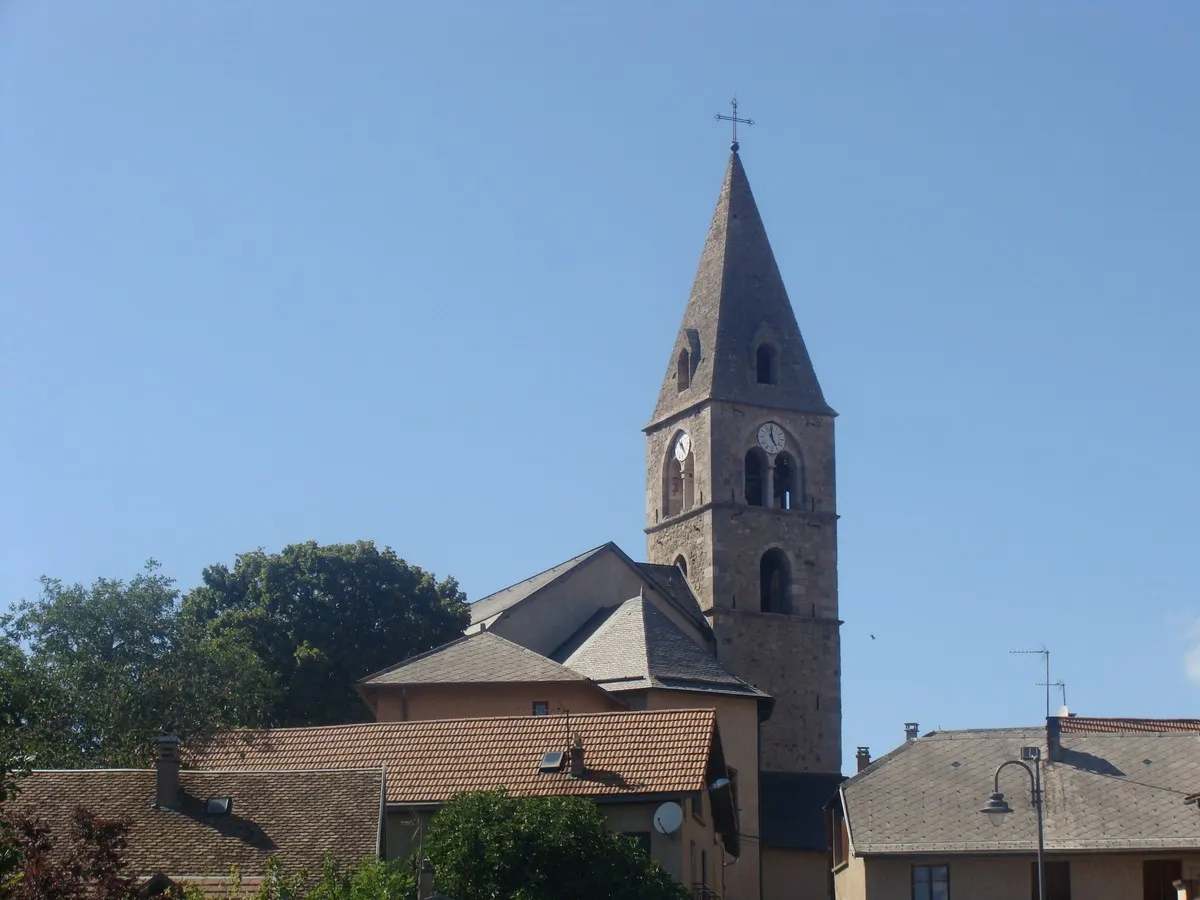
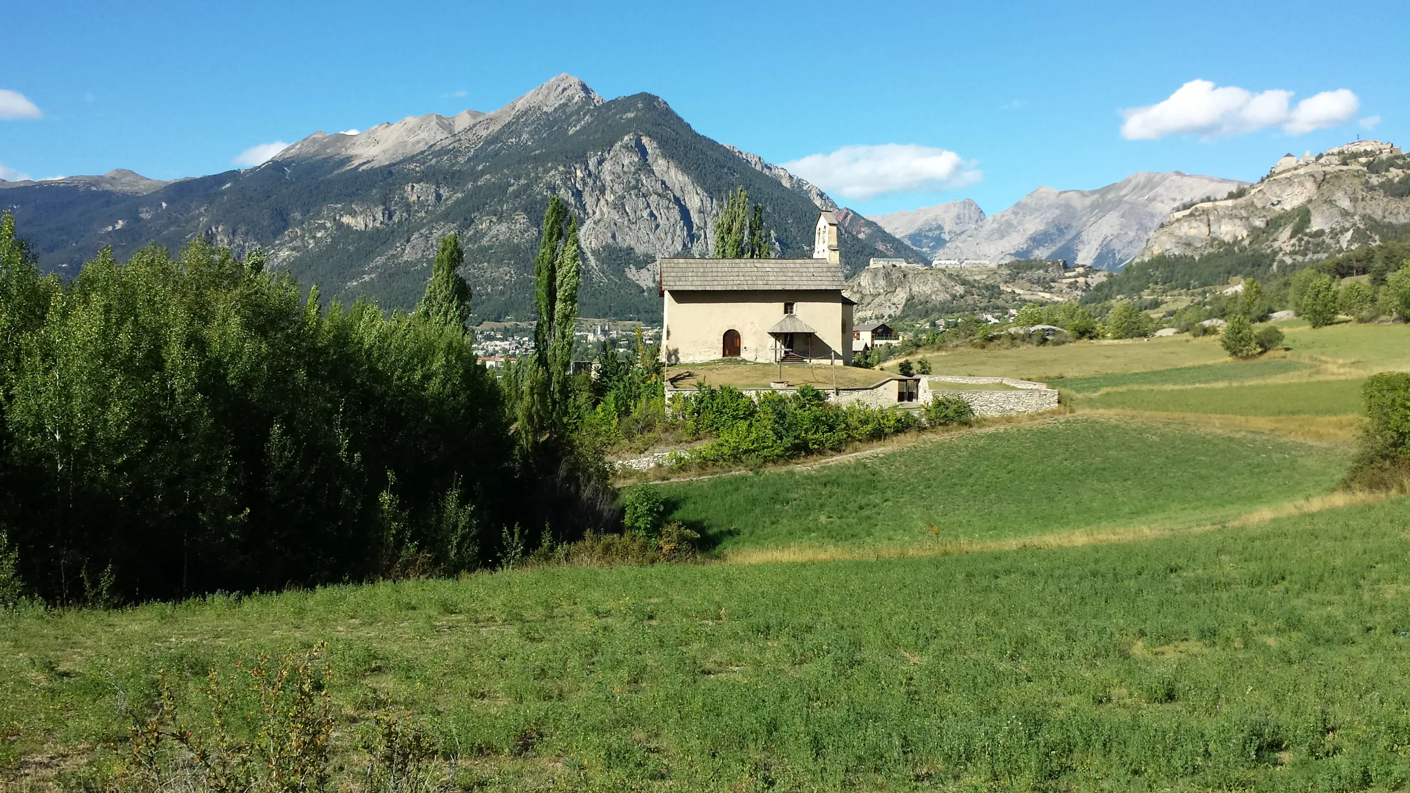
Start: La Motte-Saint-Martin Village centerLa Motte-Saint-Martin: Entspanntes Radfahren in malerischer Umgebung
La Motte-Saint-Martin ist ein ruhiges Städtchen, das sich ideal für entspannte Radtouren eignet. Die Umgebung bietet sanfte Hügel und malerische Landschaften, die Radfahrer begeistern. In der Nähe gibt es auch einige schöne Radwege, die erkundet werden können.2 km
2 km
La Motte-d'AveillansDorfErkunden Sie das malerische La Motte-d'Aveillans.
8 km
8 km
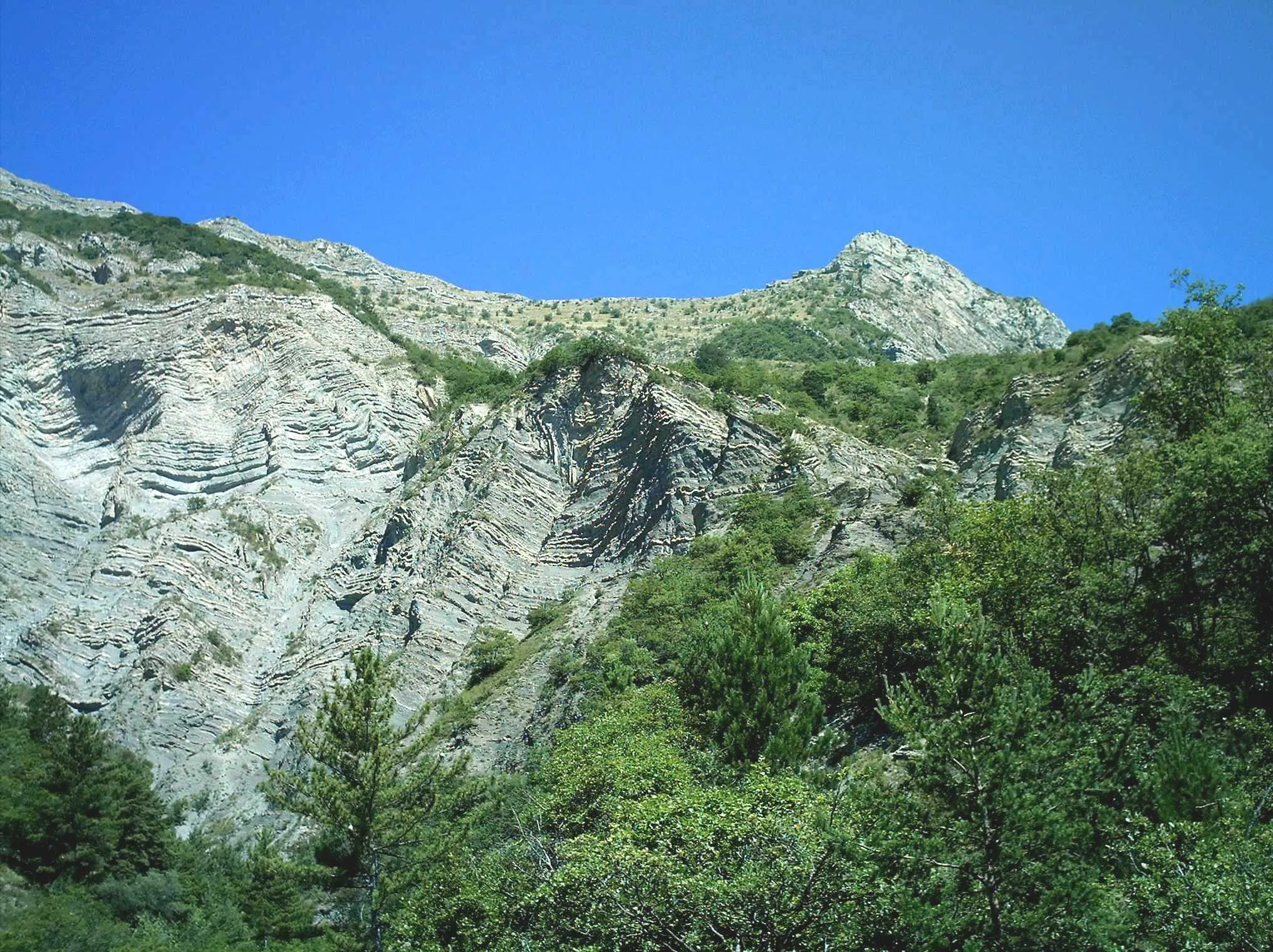
rocher Siéroux1200 mGipfelEntdecken Sie die imposanten Felsformationen von rocher Siéroux.
16 km
16 km
CognetDorfErleben Sie die unberührte Natur von Cognet.
26 km
26 km
Col de Cornillon885 mBergpassGenießen Sie die spektakuläre Aussicht vom Col de Cornillon.
32 km
32 km
Serre de la Fayole1080 mGipfelEntdecken Sie die Schönheit der Serre de la Fayole.
36 km
36 km
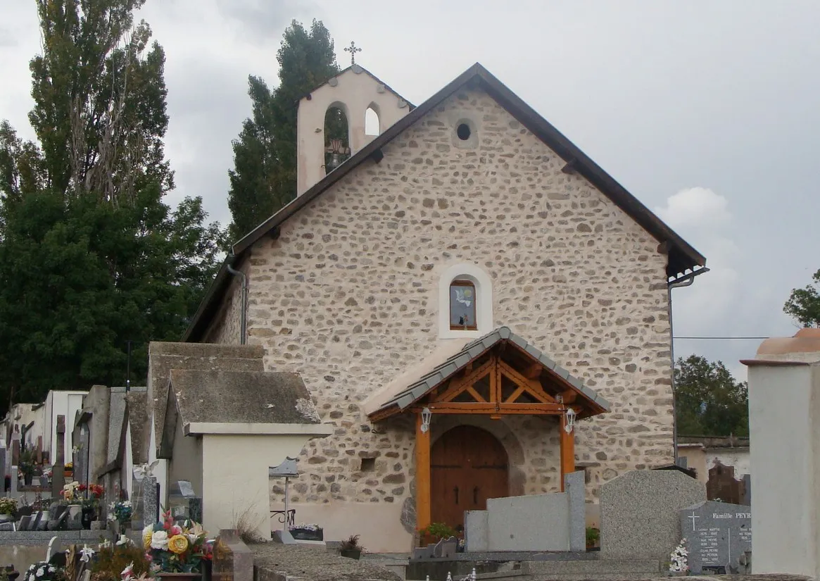
Cornillon-en-TrièvesDorfErkunden Sie das charmante Cornillon-en-Trièves.
52 km
52 km
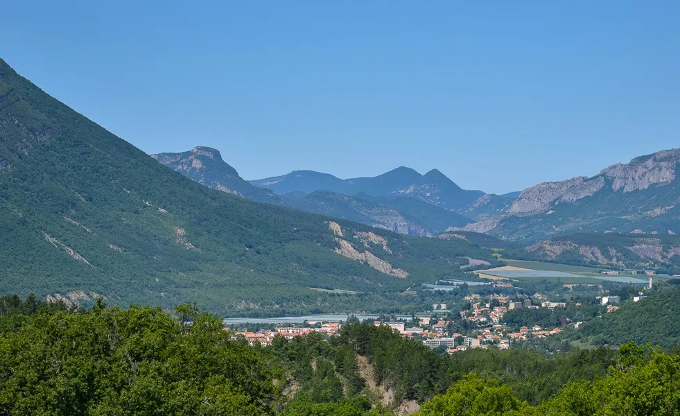
Saint-AreyDorfGenießen Sie die malerische Landschaft von Saint-Arey.
59 km
59 km
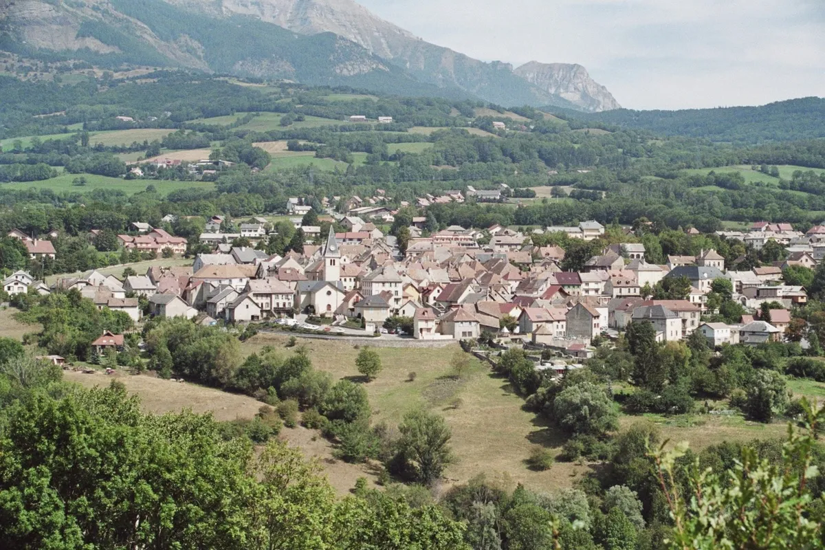
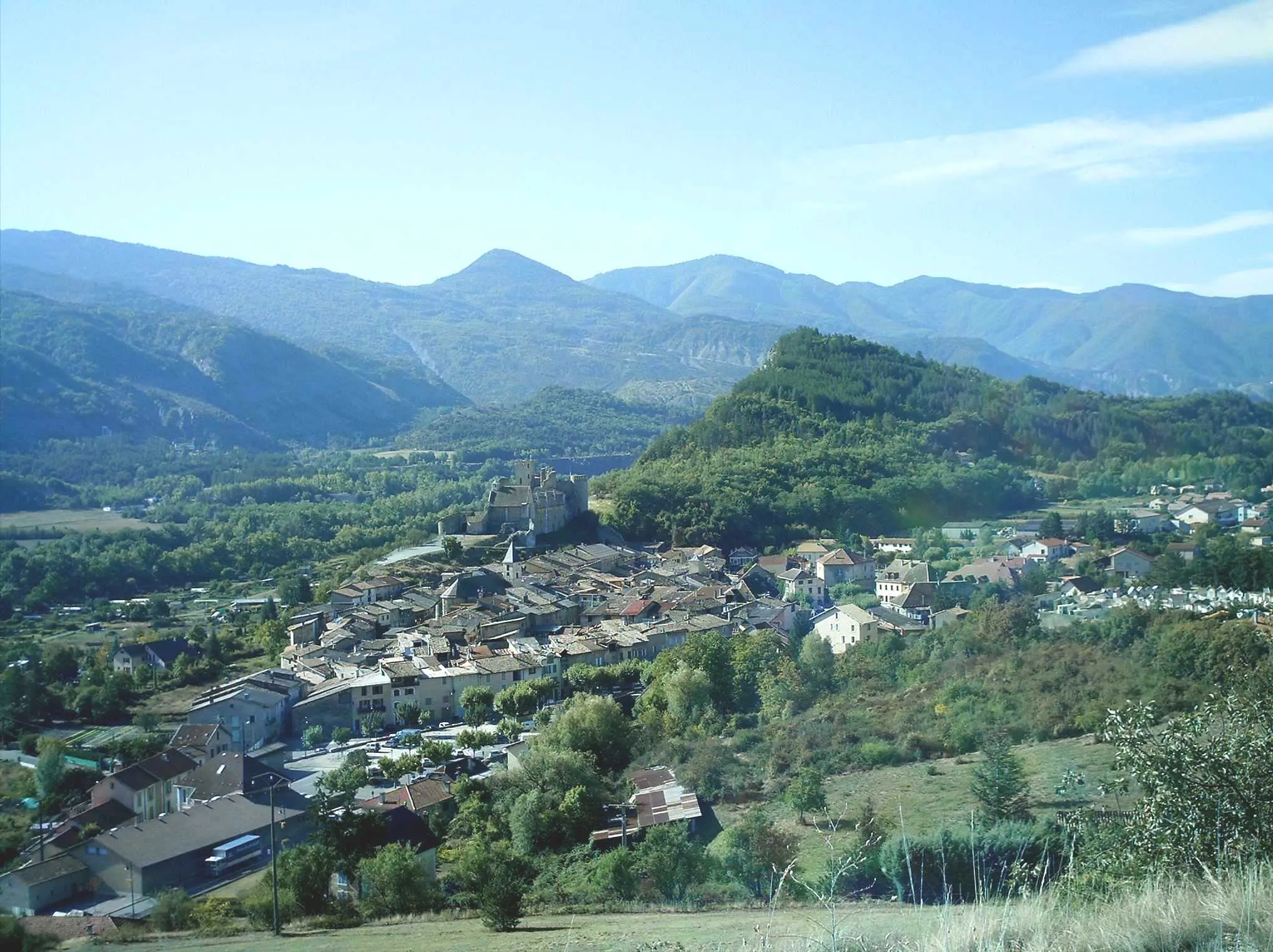
MarcieuDorfEntdecken Sie das idyllische Dorf Marcieu.
66 km
66 km
La Motte-Saint-MartinDorfErleben Sie die Schönheit von La Motte-Saint-Martin.
66 km
66 km
Ziel: La Motte-Saint-Martin Village centerLa Motte-Saint-Martin: Entspanntes Radfahren in malerischer Umgebung
Radwege von La Motte-Saint-Martin:
Herausfordernde Straßenrunde um La Motte-Saint-Martin Herausfordernde Tour durch Col d'Ornon und Valbonnais Gemütliche Gravel-Runde von La Motte-Saint-Martin Abenteuerliche Fahrt nach Marcieu und La Motte-Saint-Martin Abenteuerliche Schottertour rund um La Motte-Saint-Martin Tour de Monteynard und Claix Epische Schotterrunde in der Nähe von La Motte-Saint-Martin Entdecken Sie Notre-Dame-de-Commiers und La Motte-d'Aveillans Gravel-Tour durch La Motte-Saint-Martin Rundtour La Motte-Saint-Martin
In der Nähe befinden sich Fahrradrouten: