Die Cluses-Rundfahrt
Eine road-Radroute, die von Magland aus startet.
Entdecken Sie die charmanten Dörfer entlang der Strecke
Karte

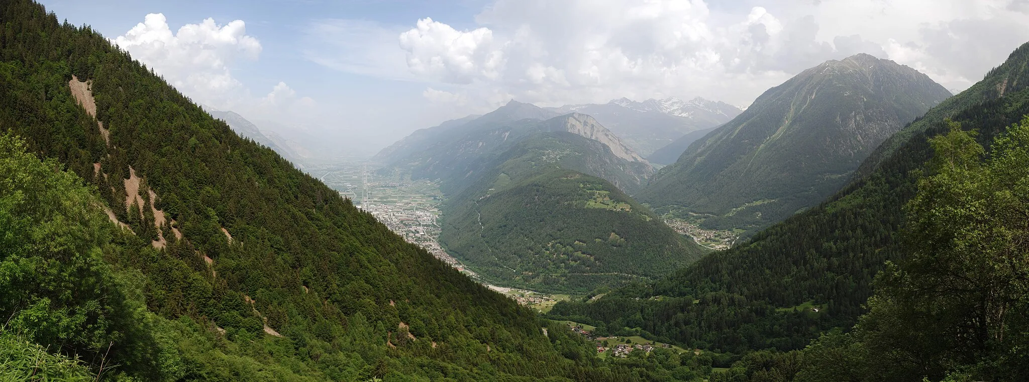
Diese 85 km lange Route bietet atemberaubende Ausblicke auf Cluses, Bonneville, Marcellaz und Châtillon-sur-Cluses. Mit 1565 Höhenmetern ist diese Tour eine perfekte Herausforderung für Rennradfahrer aller Niveaus. Genießen Sie die landschaftliche Vielfalt und die malerischen Ortschaften entlang der Strecke.
road
85 km
1565 m
Schwierig
Streckenprofil
Höhepunkte auf der Strecke
0 km
0 km
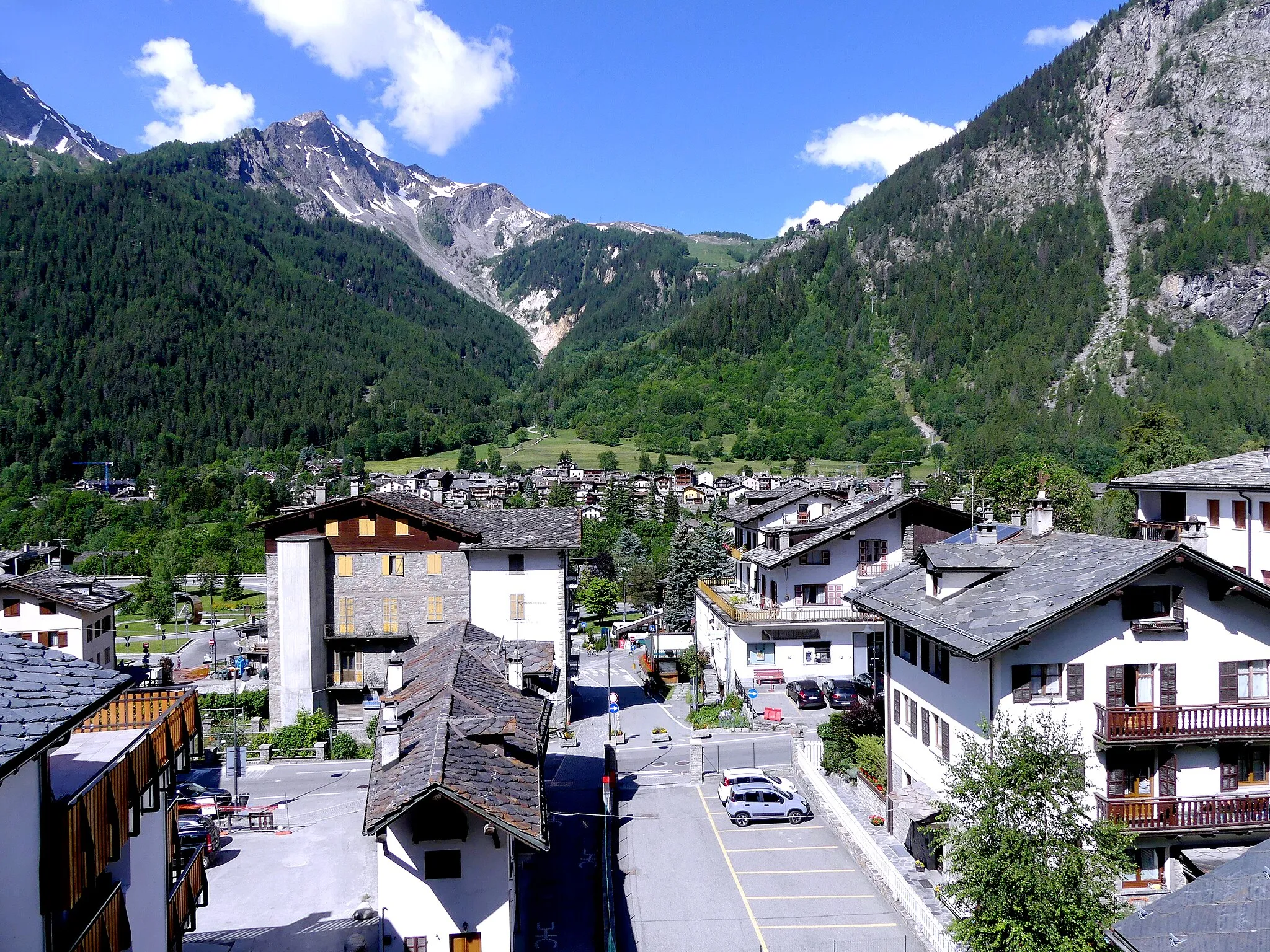
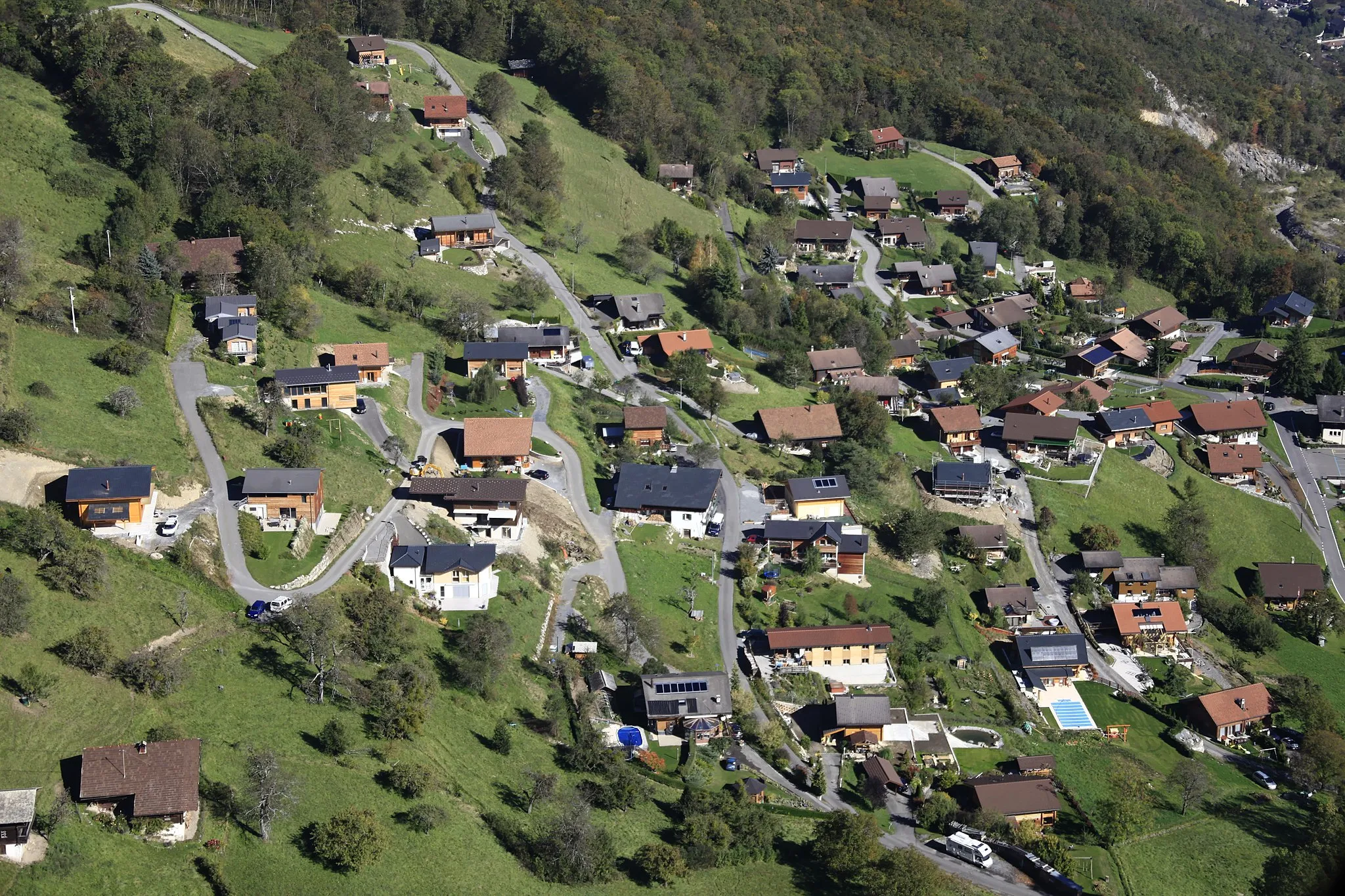
Start: Les Carroz Village centerMagland: Entdecken Sie die anspruchsvollen Mountainbike-Trails und die atemberaubende Natur in Magland!
Magland ist ein guter Ausgangspunkt für Mountainbike-Touren in den Alpen. Die Region bietet anspruchsvolle Trails und Singletracks sowie eine Vielzahl von Outdoor-Aktivitäten.13 km
13 km
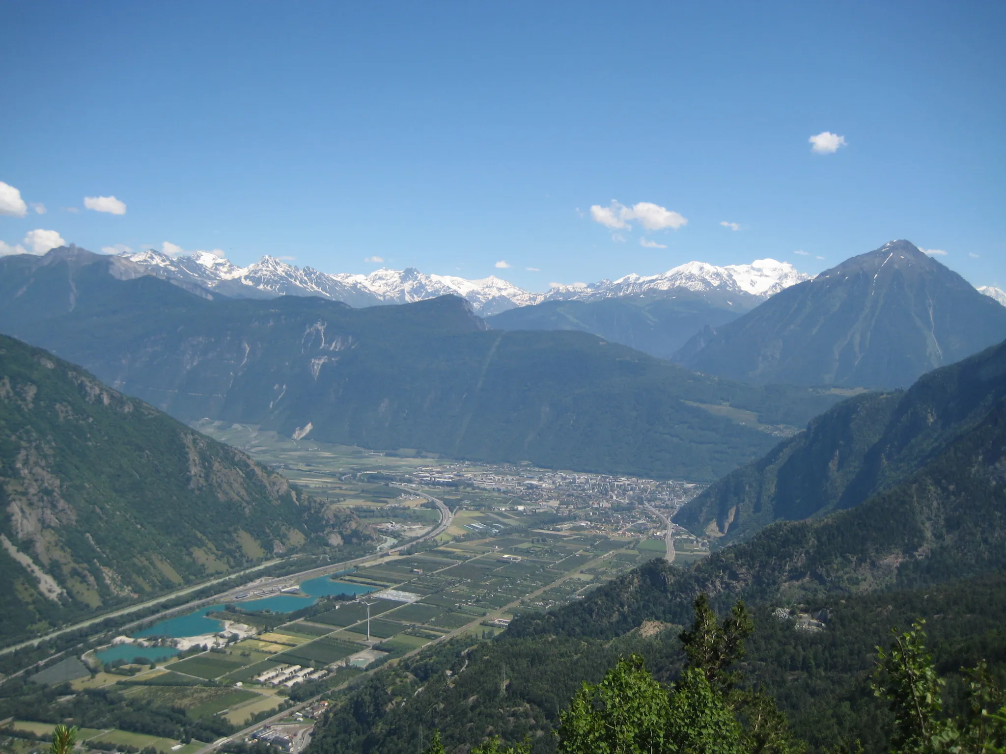
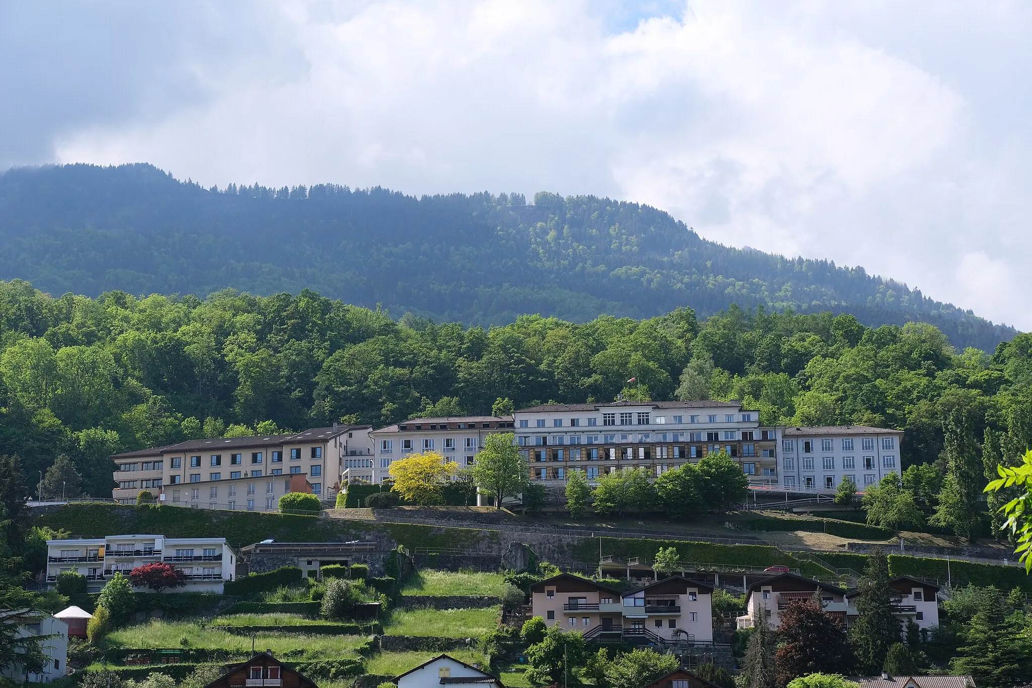
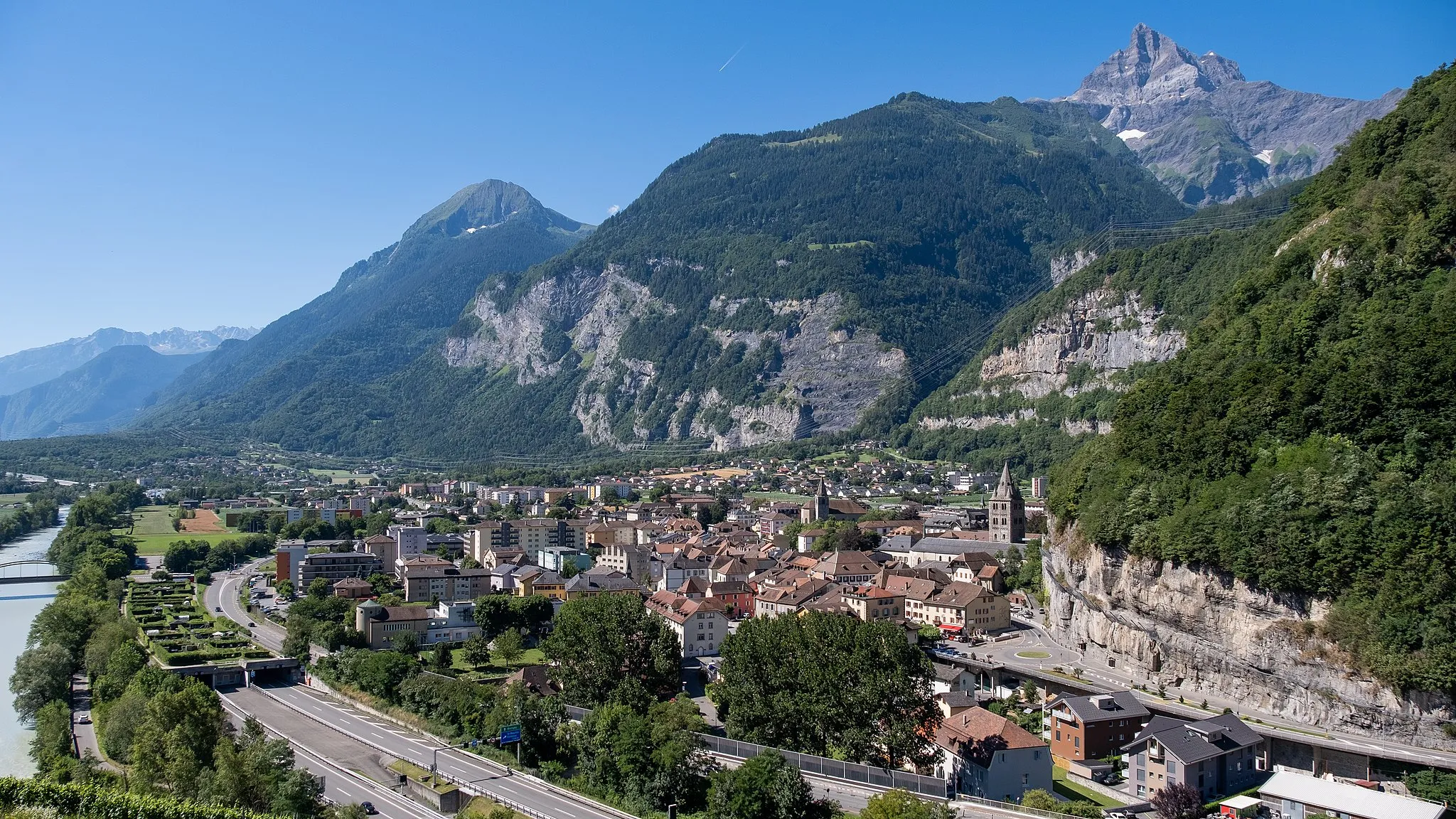
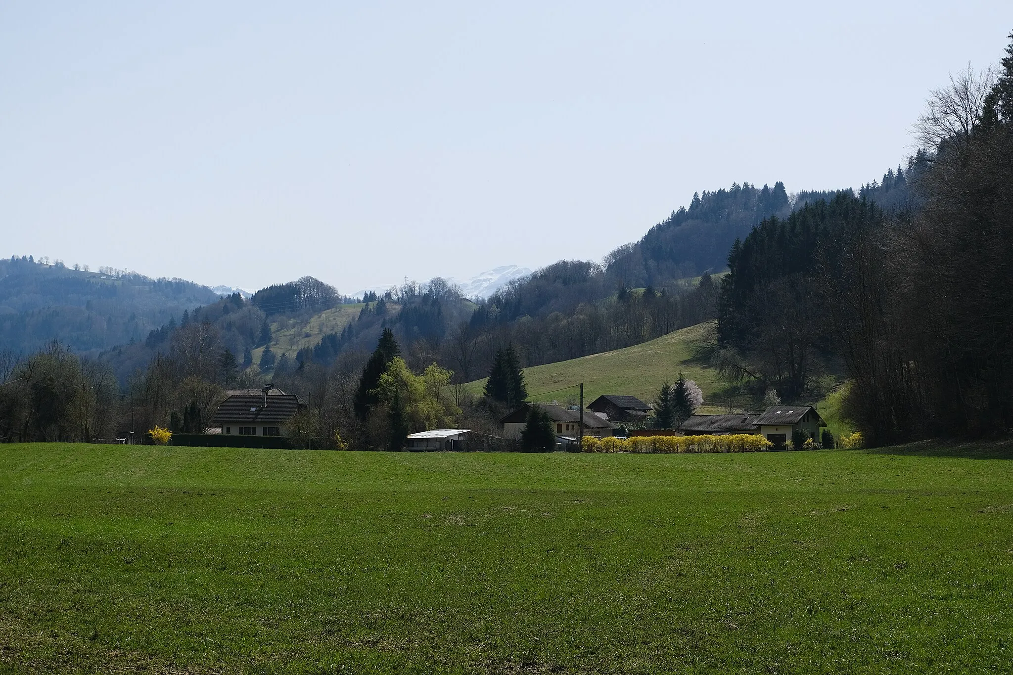
ClusesStadtEntdecken Sie die charmante Stadt Cluses entlang der Route.
28 km
28 km
BonnevilleStadtGenießen Sie die malerische Stadt Bonneville auf Ihrem Weg.
38 km
38 km
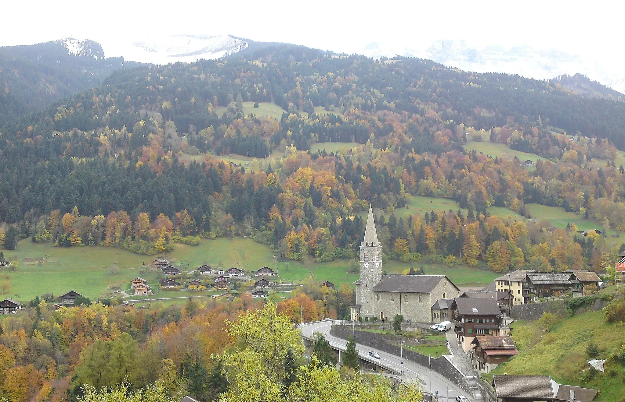
MarcellazDorfErkunden Sie das idyllische Marcellaz während Ihrer Fahrt.
54 km
54 km
Viuz-en-SallazDorfBesuchen Sie das historische Viuz-en-Sallaz auf Ihrer Tour.
59 km
59 km
Château Vieux614 mGipfelErklimmen Sie die Burg Château Vieux auf Ihrer Fahrradtour.
67 km
67 km
Les Suets910 mGipfelGenießen Sie die malerischen Ausblicke auf Les Suets während Ihrer Fahrt.
74 km
74 km
Châtillon-sur-ClusesDorfBesuchen Sie das charmante Châtillon-sur-Cluses entlang der Strecke.
85 km
85 km
Ziel: Les Carroz Village centerMagland: Entdecken Sie die anspruchsvollen Mountainbike-Trails und die atemberaubende Natur in Magland!
In der Nähe befinden sich Fahrradrouten: