Bergbauernhof Route
Eine gravel-Radroute, die von Wannsee aus startet.
Erleben Sie das Landleben auf den Bergbauernhöfen
Karte
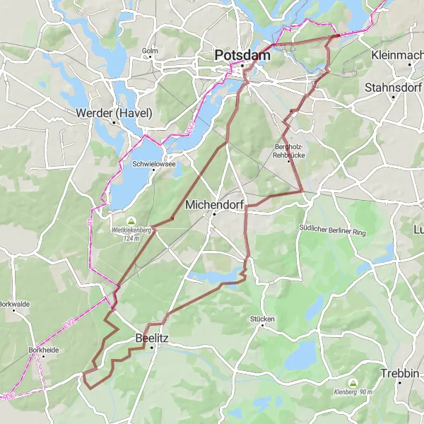
Die Bergbauernhof Route führt durch idyllische Landschaften und traditionelle Bauernhöfe. Von Bergholz-Rehbrücke aus, vorbei am Galgenberg und dem Rauher Berg, führt der Weg über den Kähnsdorf bis zu den Schäpe und Beelitz-Heilstätten.
gravel
72 km
314 m
Schwierig
Streckenprofil
Höhepunkte auf der Strecke
0 km
0 km
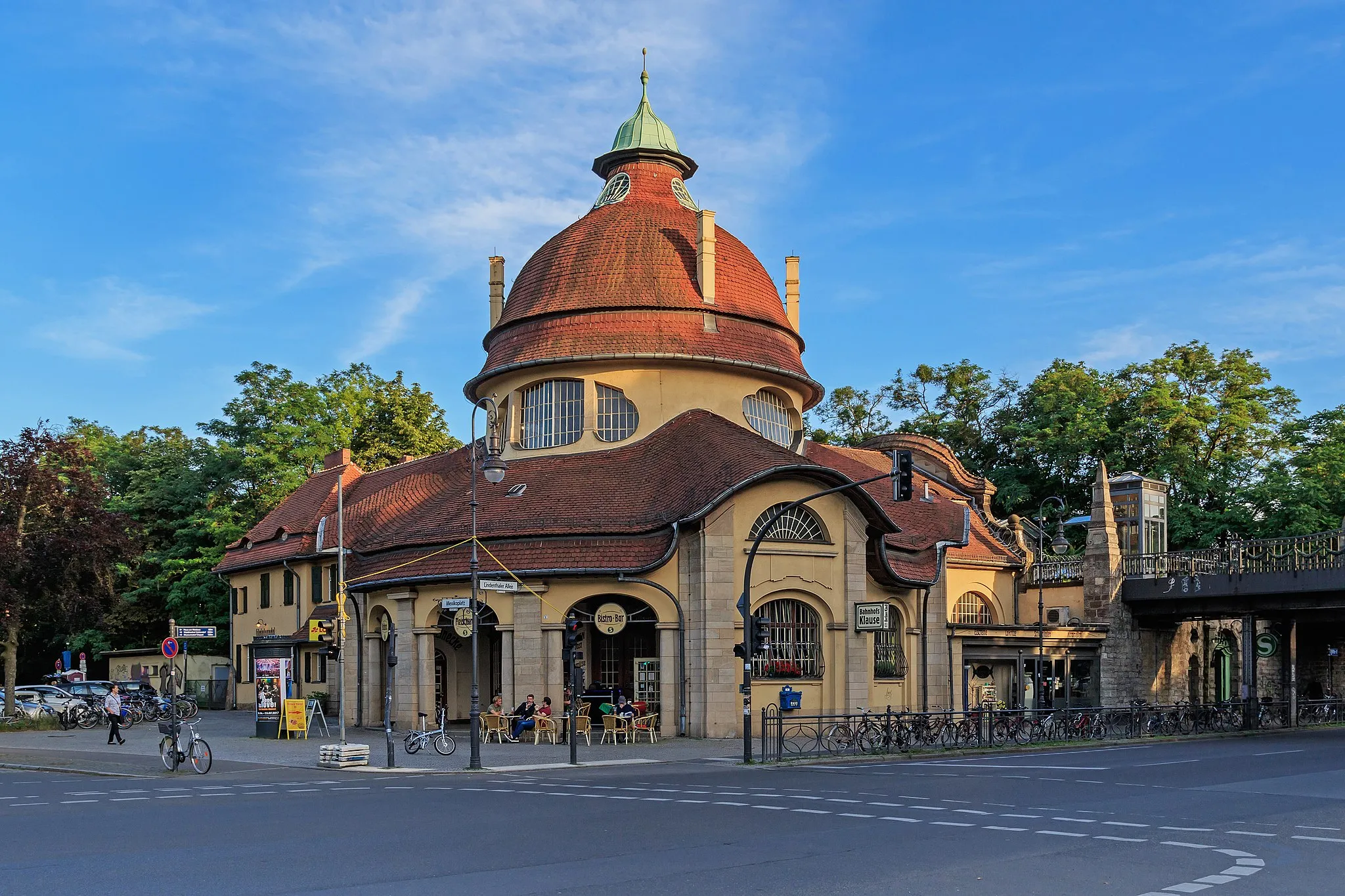
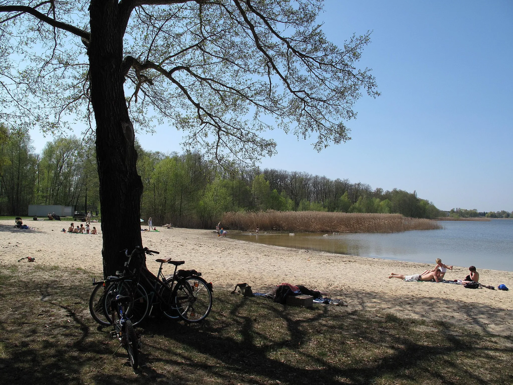
Start: Locality centerWannsee: Entspanntes Radeln am Wannsee.
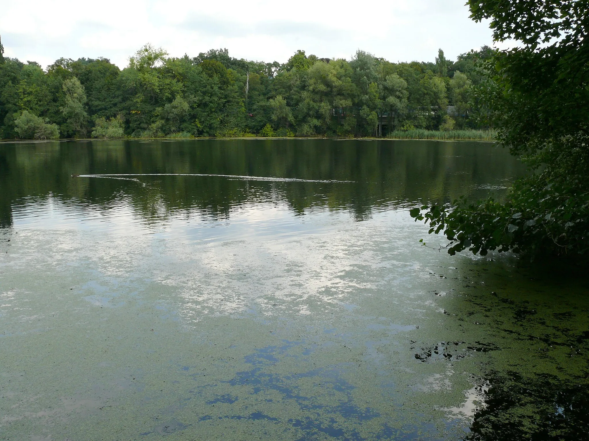
Wannsee ist ein beliebtes Ausflugsziel in Berlin, mit einigen malerischen Radwegen entlang des Sees. Die Gegend ist flach und daher gut für gemütliche Radtouren geeignet, allerdings gibt es keine besonderen Herausforderungen für Radsportler.11 km
11 km
Bergholz-RehbrückeDorfScenic ride through picturesque landscapes near Bergholz-Rehbrücke
15 km
15 km
Galgenberg77 mGipfelDiscover the historical significance of Galgenberg area
23 km
23 km
Rauher Berg78 mGipfelExplore the rugged terrain of Rauher Berg
24 km
24 km
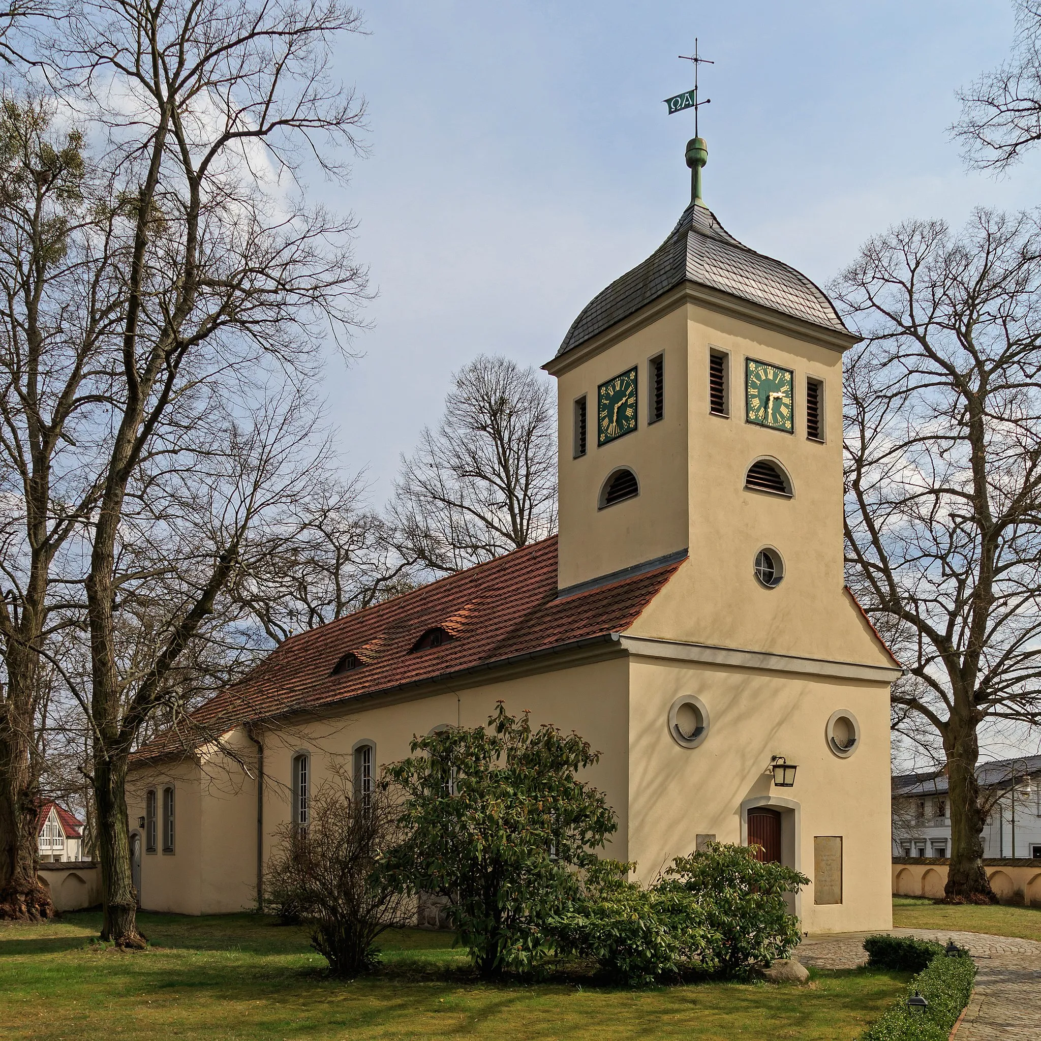
KähnsdorfDorfVisit the traditional farms of Kähnsdorf area
34 km
34 km
Katzenberg45 mGipfelExperience the rural charm of Katzenberg
38 km
38 km
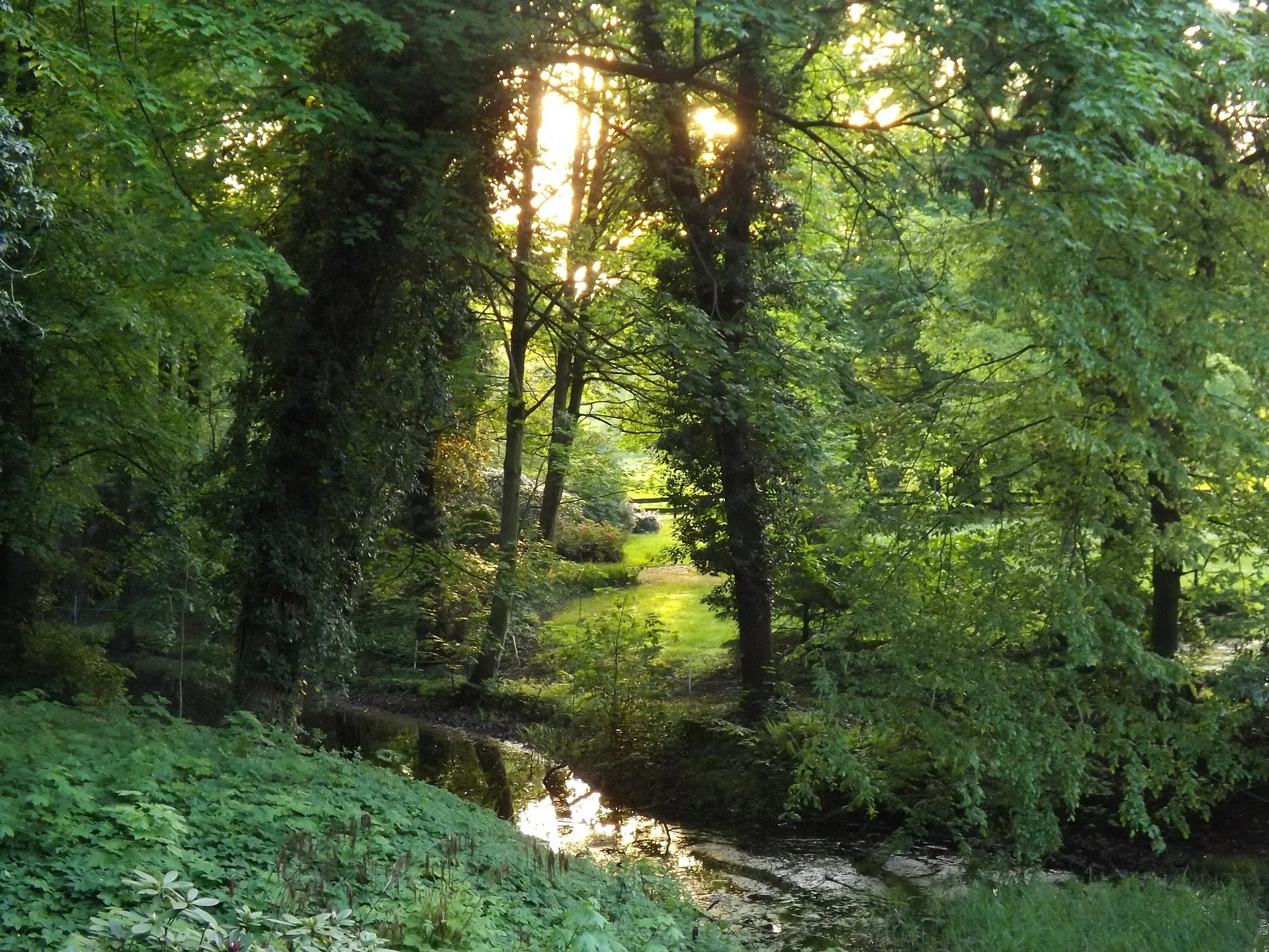
SchäpeDorfEnjoy the peaceful surroundings of Schäpe region
46 km
46 km
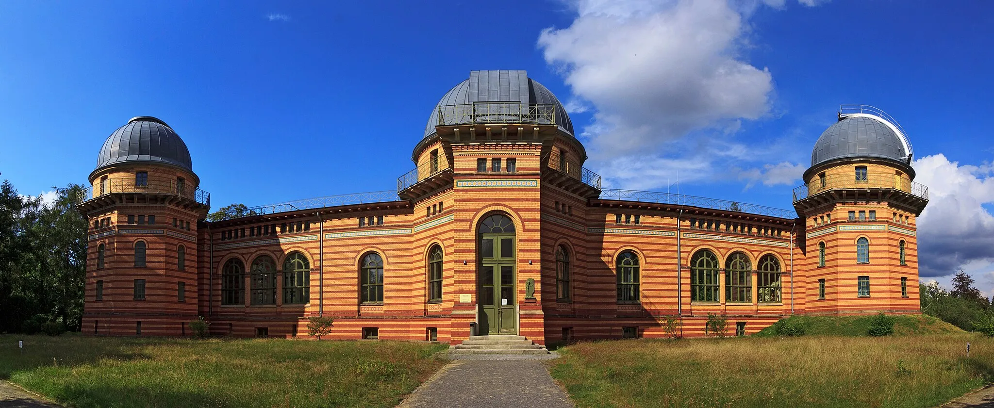
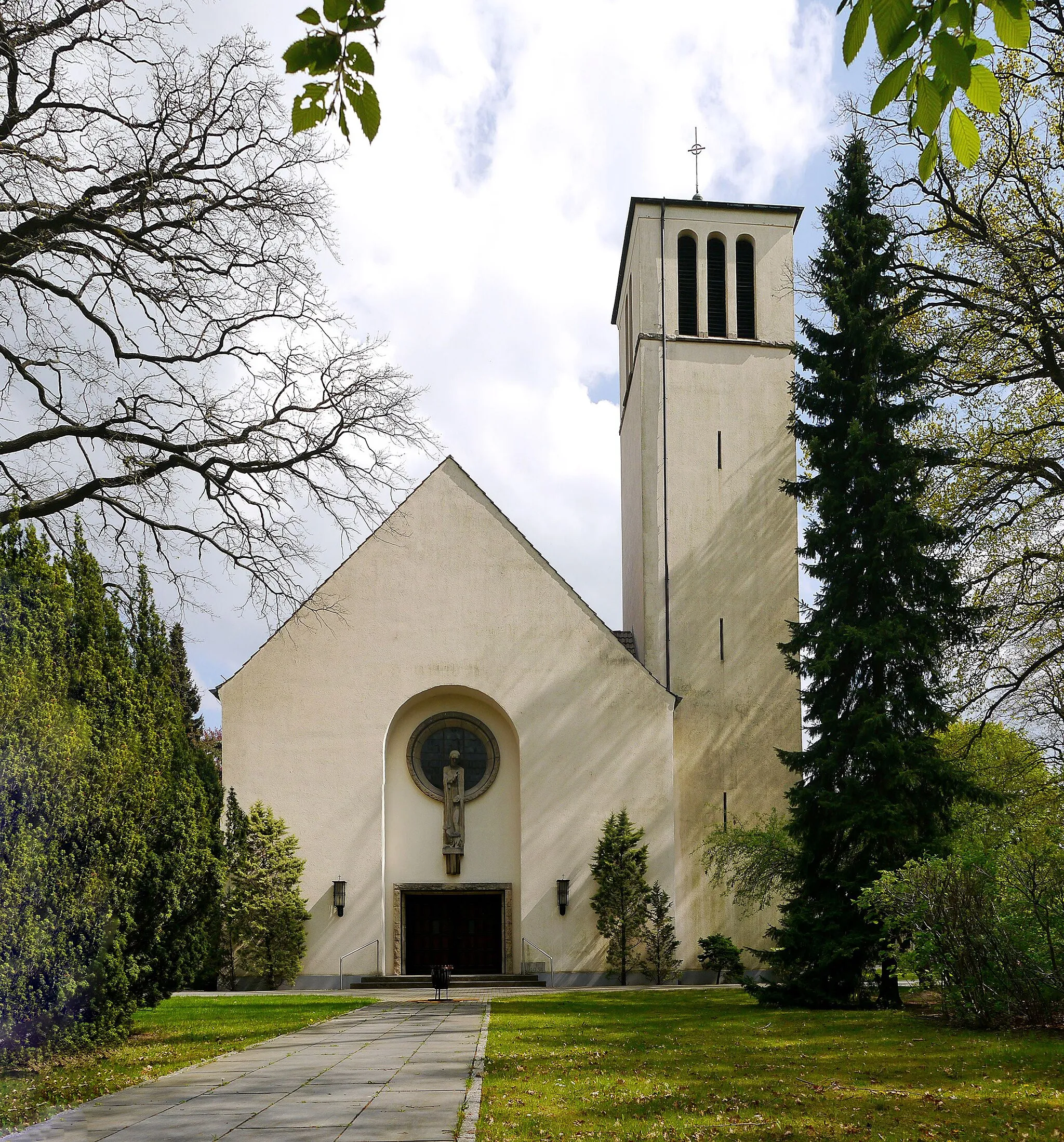
Beelitz-HeilstättenVorortDiscover the historic Beelitz-Heilstätten area with its unique architecture
52 km
52 km
Schmerberg59 mGipfelBreathtaking views from the Schmerberg viewpoint
65 km
65 km
AussichtsplattformAussichtspunktEnjoy panoramic views from the Aussichtsplattform
68 km
68 km
Glienicker BrückeAttraktionHistorical significance of the Glienicker Brücke area
72 km
72 km
Ziel: Locality centerWannsee: Entspanntes Radeln am Wannsee.
Radwege von Wannsee:
In der Nähe befinden sich Fahrradrouten: