Historische Erkundungstour
Eine road-Radroute, die von Oberthal aus startet.
Entdecken Sie auf dieser 77 km langen Straßenroute die Geschichte und Kultur der Region.
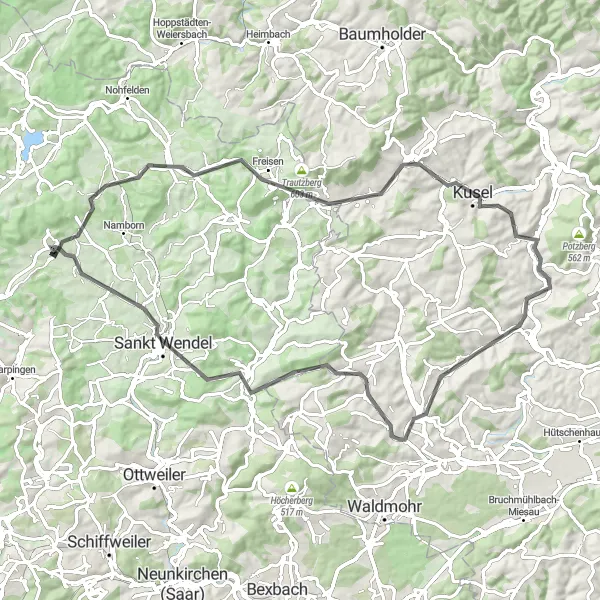
Karte
Mit insgesamt 1010 Höhenmetern bietet diese Route ein reiches kulturelles Erbe und eine malerische Landschaft. Von Fehrenberg bis Pflanzengarten erwarten Sie historische Stätten und idyllische Orte entlang der Strecke. Tauchen Sie ein in die Vergangenheit und entdecken Sie die Schönheit der Umgebung.
road
77 km
1010 m
Schwierig
Streckenprofil
Höhepunkte auf der Strecke
0 km
0 km
Start: Oberthal Village centerOberthal: Ländliche Gegend im Saarland
Oberthal im Saarland ist eine ländliche Gegend mit einigen Radwegen entlang von Flüssen. Es gibt keine bekannten Radstrecken oder legendären Anstiege in der Umgebung.11 km
11 km
Fehrenberg440 mGipfelExperience the historical charm of Fehrenberg and learn about its past.
15 km
15 km
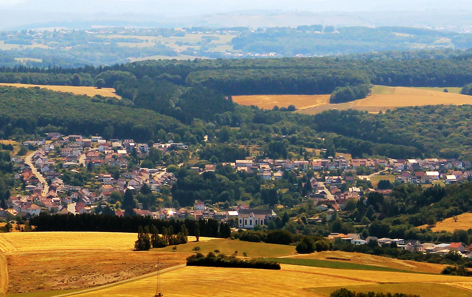
FreisenDorfExplore the cultural heritage of Freisen and discover its hidden gems.
29 km
29 km
KuselStadtDiscover the beauty of Kusel and immerse yourself in its picturesque surroundings.
33 km
33 km
Remigiusberg368 mAussichtspunktVisit the historic Remigiusberg and learn about its significance in the region.
43 km
43 km
HenschtalDorfExplore the hidden gem of Henschtal and enjoy the tranquil atmosphere.
53 km
53 km
Wartenstein375 mGipfelDiscover the historic site of Wartenstein and immerse yourself in its rich history.
61 km
61 km
Pfalzberg398 mGipfelExperience the natural beauty of Pfalzberg and enjoy the serenity of the surroundings.
68 km
68 km
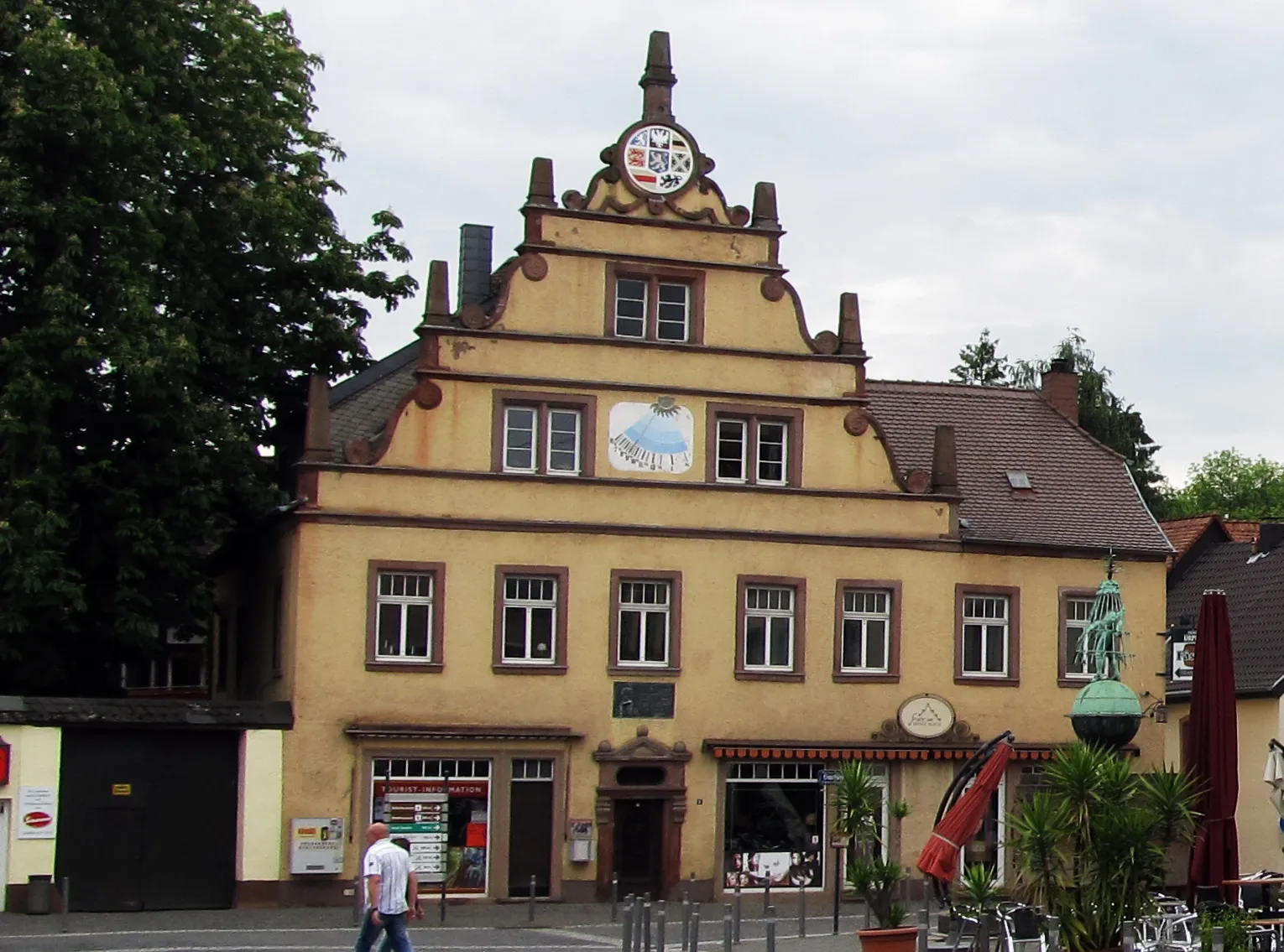
Sankt WendelStadtVisit the picturesque town of Sankt Wendel and discover its charming streets and historic buildings.
77 km
77 km
PflanzengartenUnterstandExplore the botanical wonders of Pflanzengarten and enjoy a peaceful retreat in nature.
77 km
77 km
Ziel: Oberthal Village centerOberthal: Ländliche Gegend im Saarland
Radwege von Oberthal:
In der Nähe befinden sich Fahrradrouten: