Alpenträume
Eine road-Radroute, die von Oberstaufen aus startet.
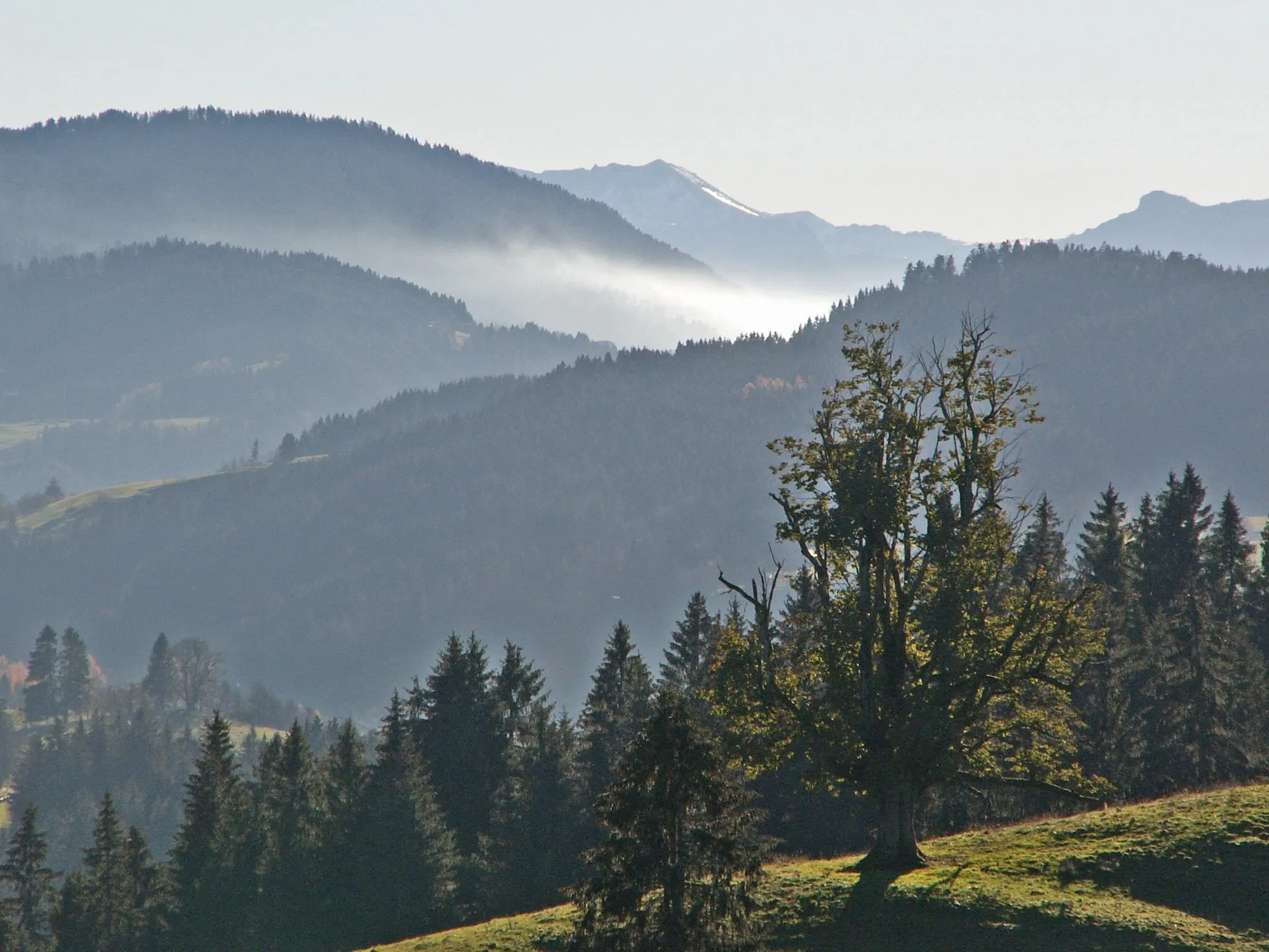
Eine epische Fahrt durch die Allgäuer Alpen
Karte
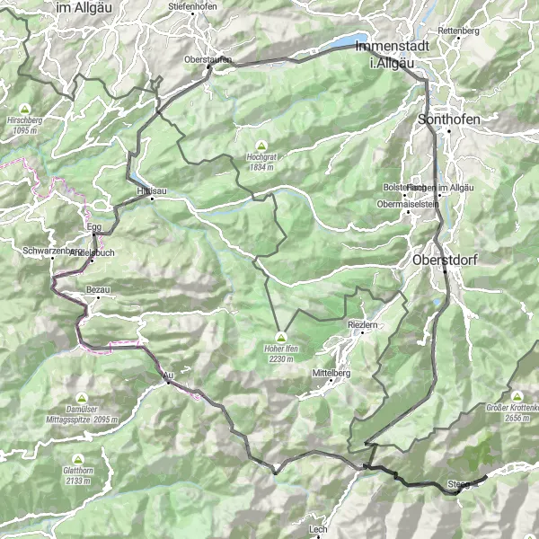
Diese Route führt durch atemberaubende Berglandschaften mit Highlights wie dem Staufner Berg und dem Schrofenpass. Zwischen Blaichach und Oberstdorf können Sie die Natur in ihrer vollen Pracht erleben. Ein besonderes Erlebnis ist die Fahrt über den Hochtannbergpass bis nach Schröcken. Die Tour endet mit einer Fahrt durch die idyllische Landschaft um Steinebach.
road
154 km
3612 m
Schwierig
Streckenprofil
Höhepunkte auf der Strecke
0 km
0 km
Start: Oberstaufen Village centerOberstaufen: Radfahren in den Alpen mit berühmten Anstiegen
Oberstaufen in Schwaben ist ein beliebtes Ziel für Radfahrer, die die Alpen erkunden möchten. Die Gegend bietet zahlreiche Bergstraßen und Pässe, die sowohl für Rennradfahrer als auch für Mountainbiker geeignet sind. Berühmte Anstiege wie der Riedbergpass sind in der Nähe zu finden.0 km
0 km
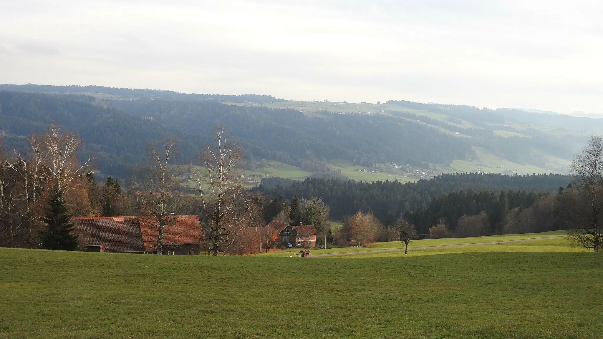
OberstaufenDorfStarting in Oberstaufen, you will embark on a journey through the beautiful Allgäu region with its rolling hills and lush green meadows.
1 km
1 km
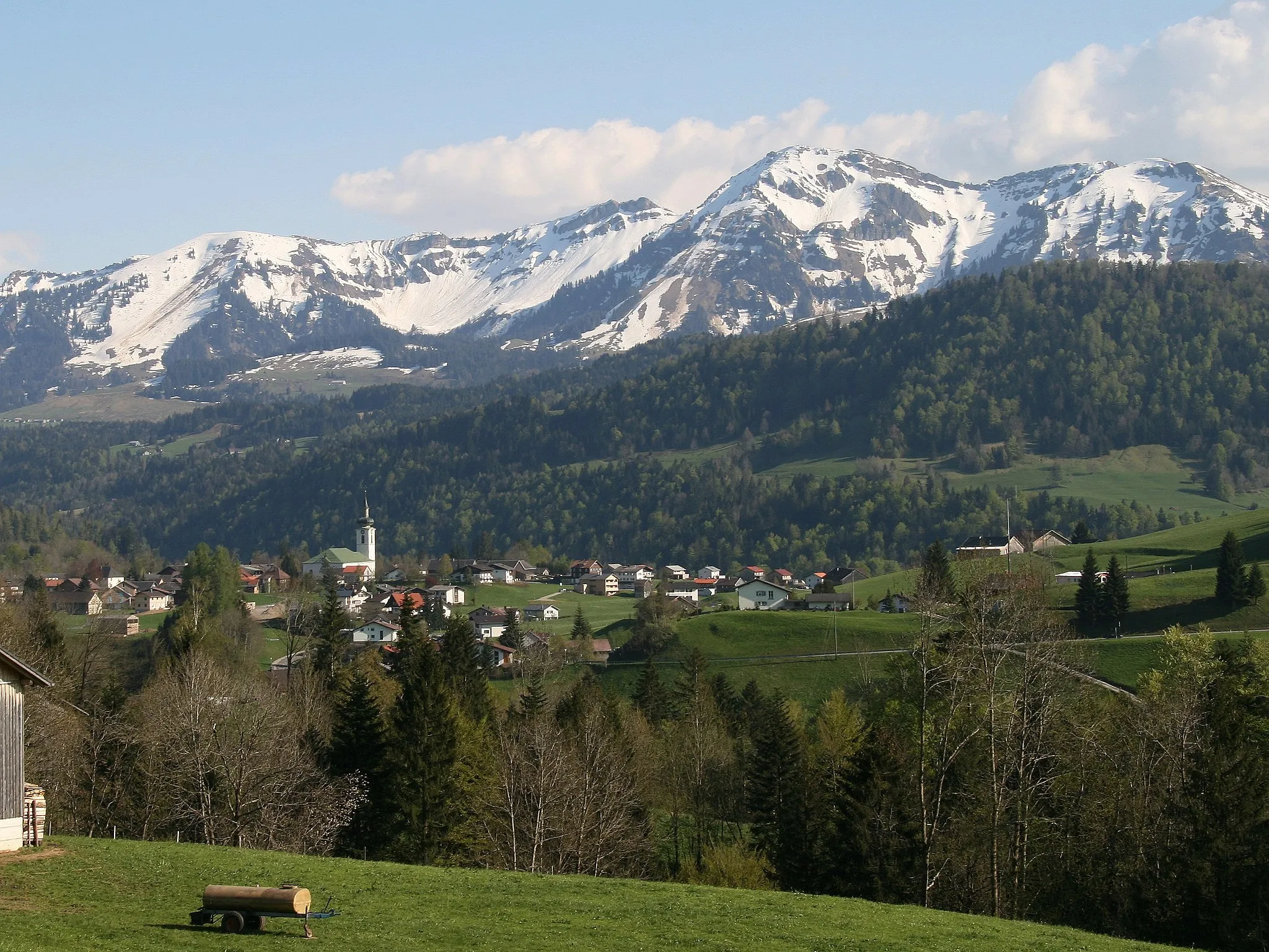
Staufner Berg1042 mAussichtspunktThe Staufner Berg offers a challenging climb but rewards you with stunning views of the surrounding mountains.
20 km
20 km
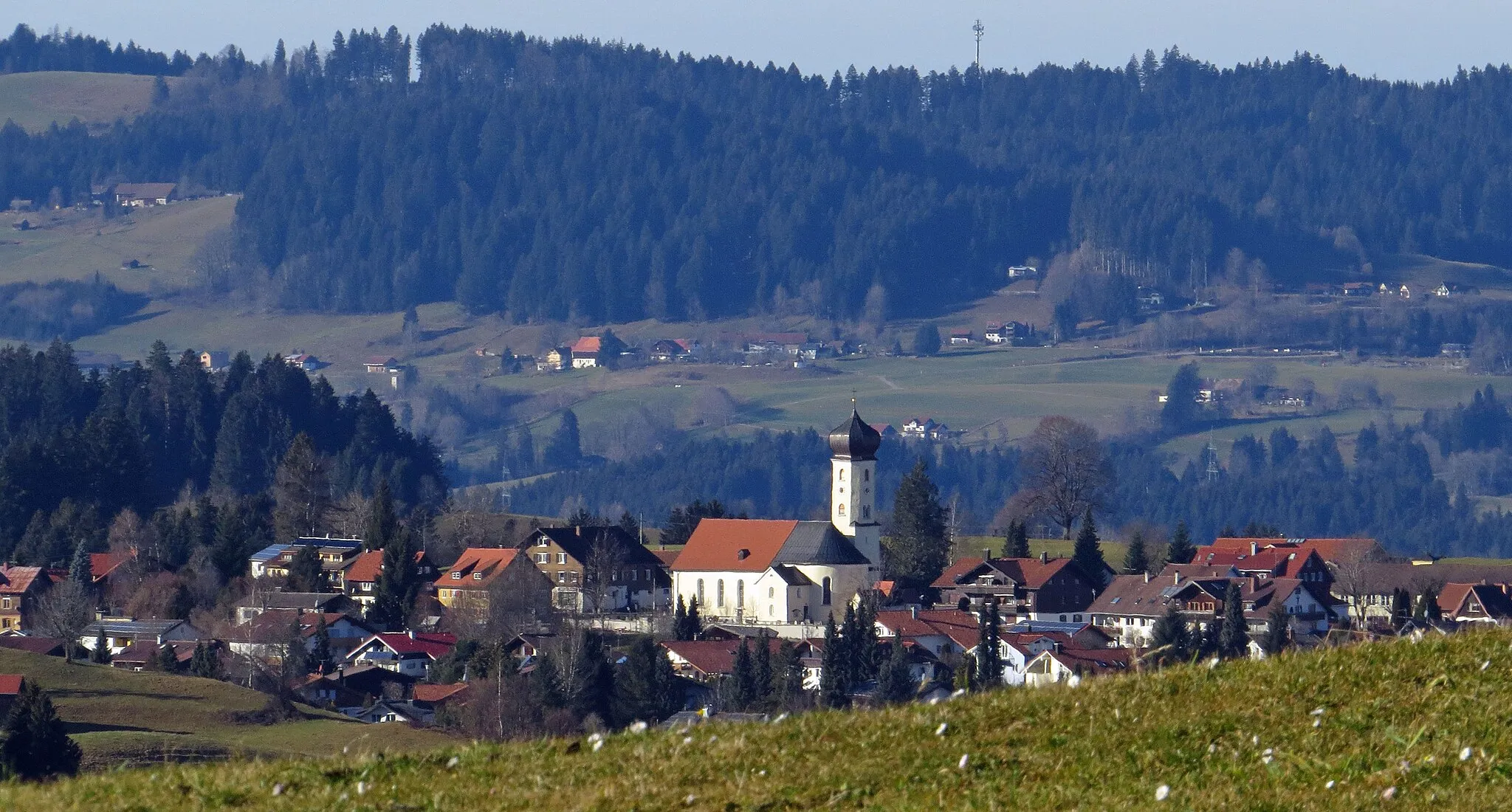
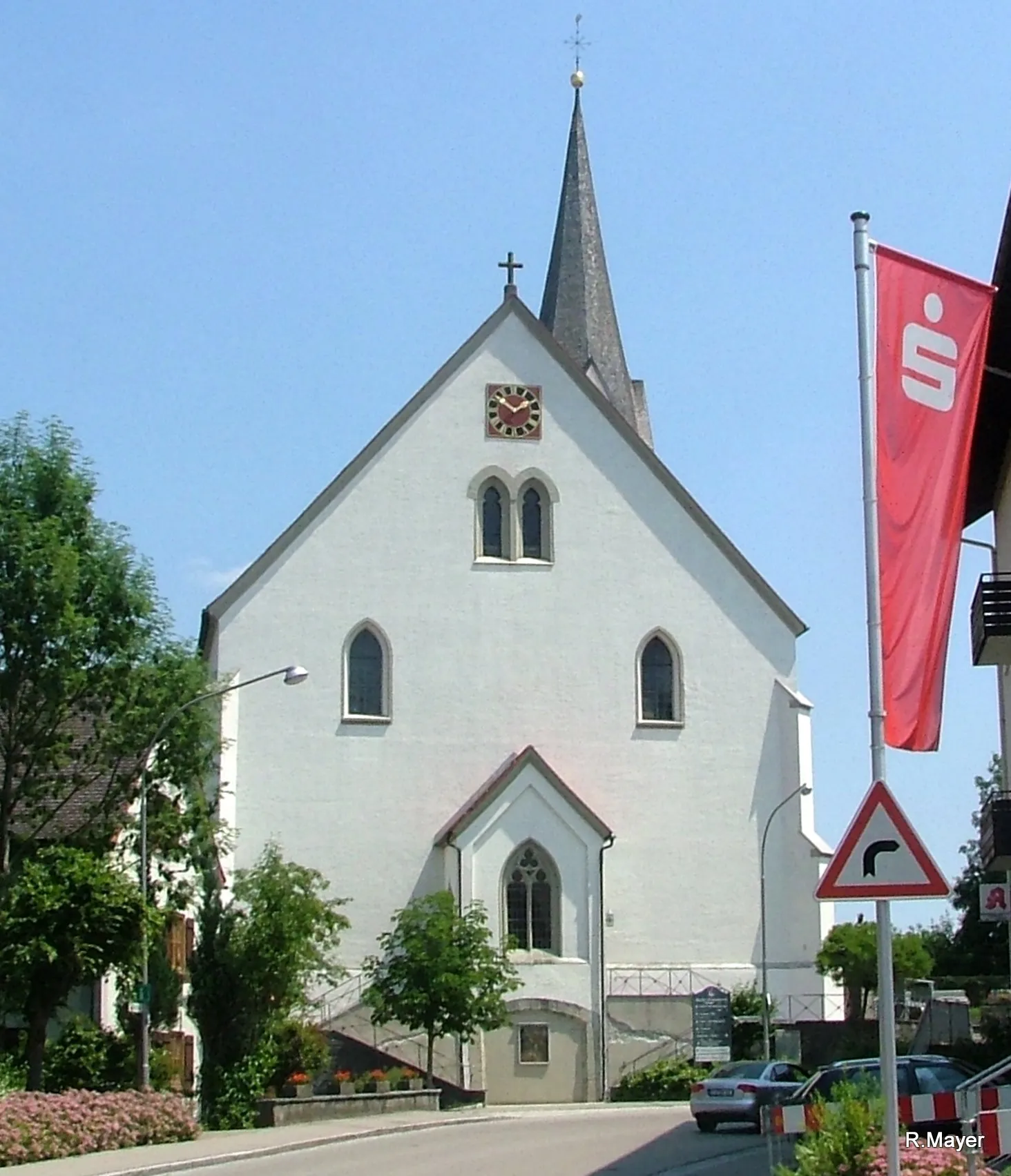
BlaichachDorfBlaichach is a picturesque village nestled amidst the Allgäu Alps, with traditional Bavarian architecture and cozy cafes.
32 km
32 km
Hermannstein990 mGipfelHermannstein is a scenic viewpoint overlooking the valley, perfect for taking a break and enjoying the landscape.
36 km
36 km
OberstdorfStadtOberstdorf is a popular resort town known for its winter sports opportunities and charming atmosphere.
47 km
47 km
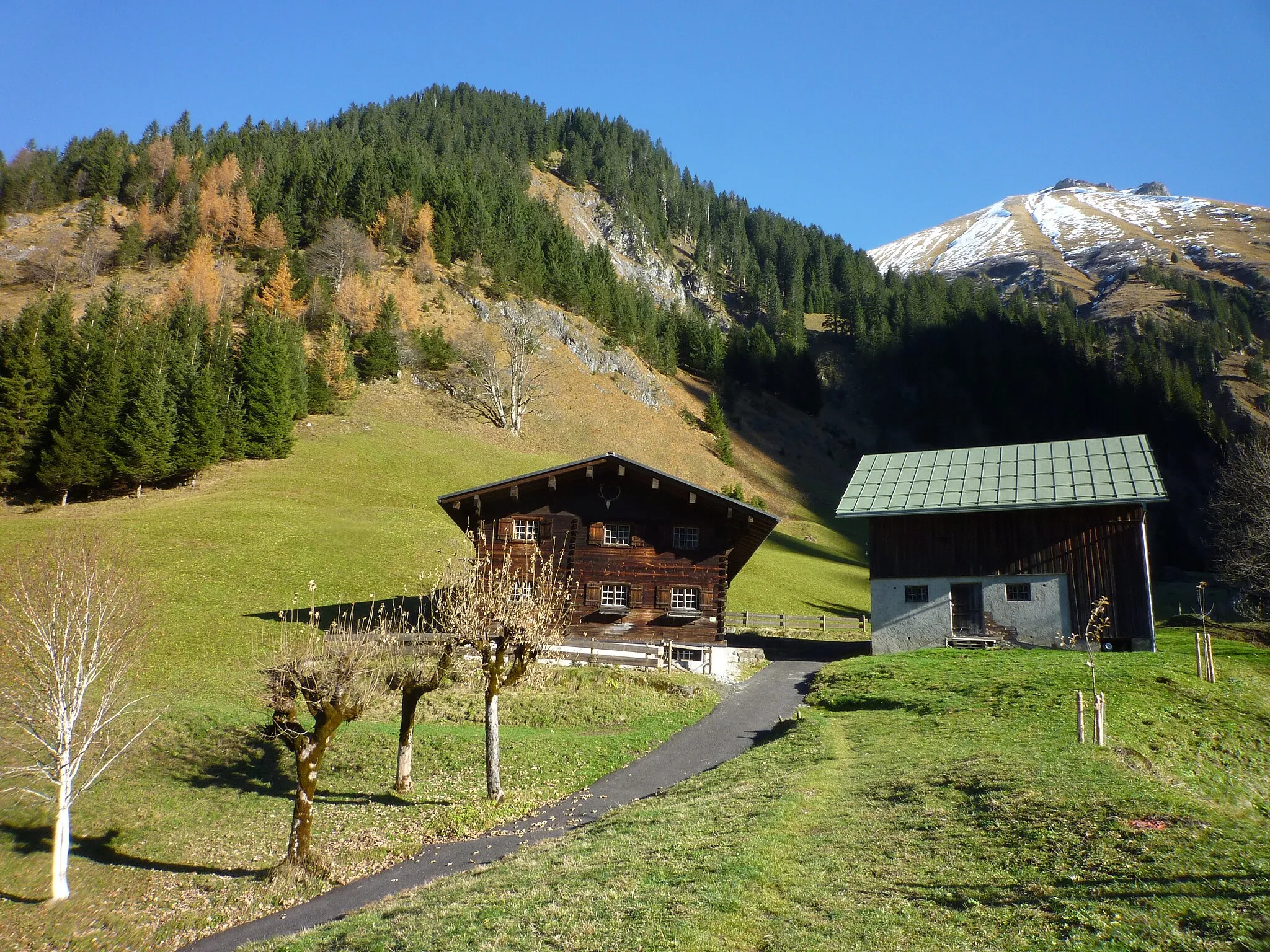
EinödsbachWeilerEinödsbach is a tiny hamlet nestled deep in the mountains, offering a secluded and peaceful retreat.
56 km
56 km
Schrofenpass1689 mBergpassThe Schrofenpass is a mountain pass with winding roads and stunning views, making it a highlight of the route.
74 km
74 km
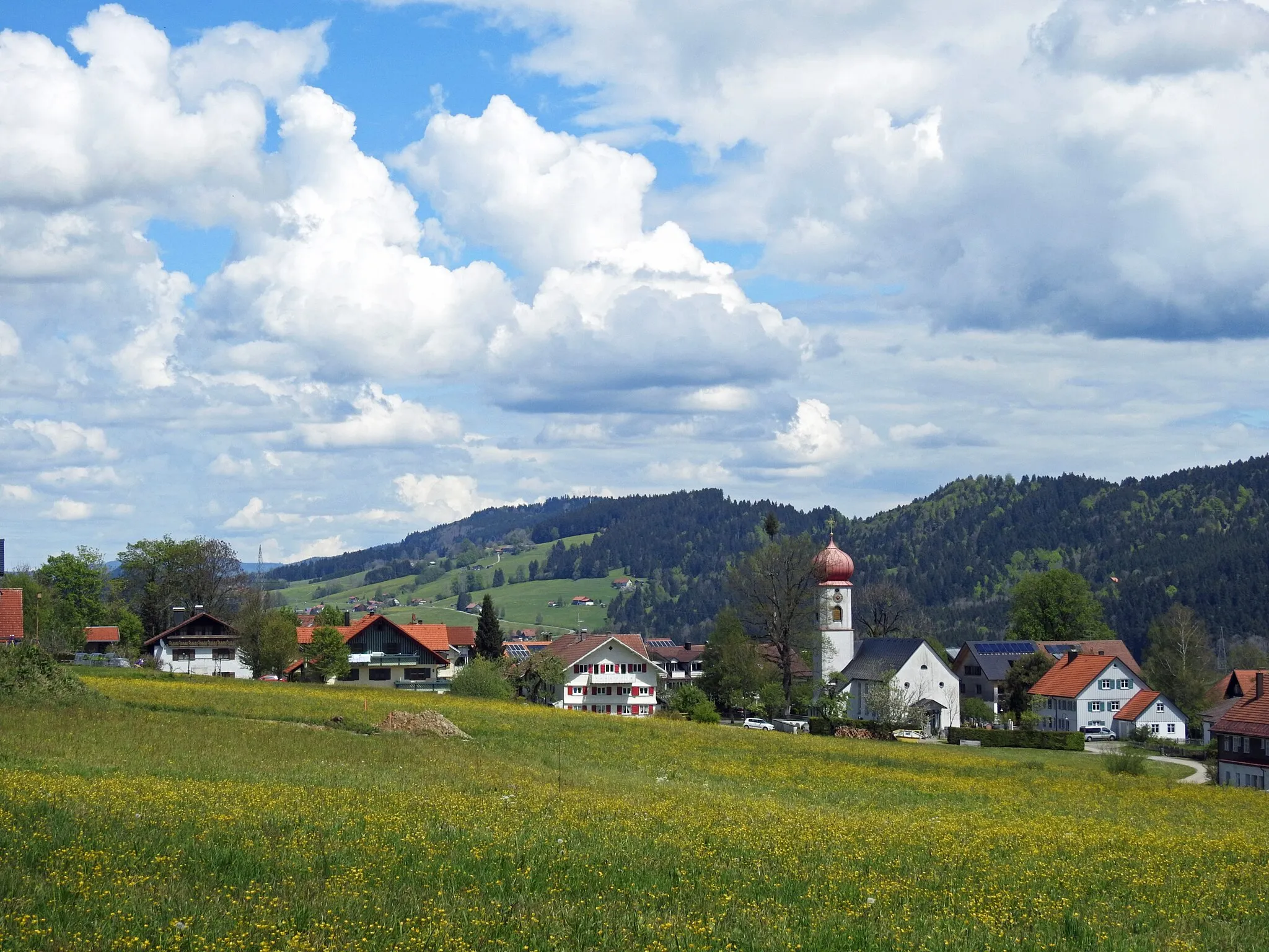
SteegDorfSteeg is a charming village with traditional houses and a tranquil atmosphere, providing a delightful break from cycling.
89 km
89 km
Hochtannbergpass1675 mBergpassThe Hochtannbergpass is a challenging climb but rewards you with panoramic views of the surrounding peaks.
95 km
95 km
SchröckenDorfSchröcken is a quaint village surrounded by alpine meadows and offers a peaceful setting for a rest stop.
104 km
104 km
SchoppernauDorfSchoppernau is a picturesque village with winding streets and traditional wooden houses, perfect for exploring on foot.
112 km
112 km
Schnepfegg891 mBergpassSchnepfegg is a mountain hut where you can refuel with traditional Austrian dishes and enjoy the stunning views.
128 km
128 km
AndelsbuchDorfAndelsbuch is a charming village with historic architecture and beautiful gardens, providing a scenic backdrop for a break.
130 km
130 km
JosefshöheAussichtspunktJosefshöhe is a mountain pass with a steep ascent but rewards you with panoramic views of the surrounding valleys.
139 km
139 km
Rotenberg974 mGipfelRotenberg is a small hamlet surrounded by forests and meadows, offering a peaceful and serene atmosphere.
151 km
151 km
SteinebachWeilerSteinebach is a traditional village with historic buildings and a welcoming atmosphere, ideal for a leisurely stroll.
154 km
154 km
Ziel: Oberstaufen Village centerOberstaufen: Radfahren in den Alpen mit berühmten Anstiegen
Radwege von Oberstaufen:
Epische Gravel-Tour durch Immenstadt und Rote Wand Bergabenteuer im Allgäu Gravel-Entdeckungstour von Oberstaufen nach Thalkirchdorf Roadbike-Abenteuer von Oberstaufen nach Bludenz Rundweg um Oberstaufen über Kalzhofner Berg Gravel-Abenteuer um Oberstaufen mit Bergblick Allgäu Panorama Bayerische Bergwelten Alpenträume Allgäuer Naturerlebnis Rund um Oberstaufen - Kultur und Natur erleben Panorama-Tour um Oberstaufen
In der Nähe befinden sich Fahrradrouten: