Panoramatische Radtour durch die Hügel um Cairo Montenotte
Eine road-Radroute, die von Cairo Montenotte aus startet.
Erleben Sie auf dieser 77 km langen Strecke die malerischen Landschaften der Region
Karte
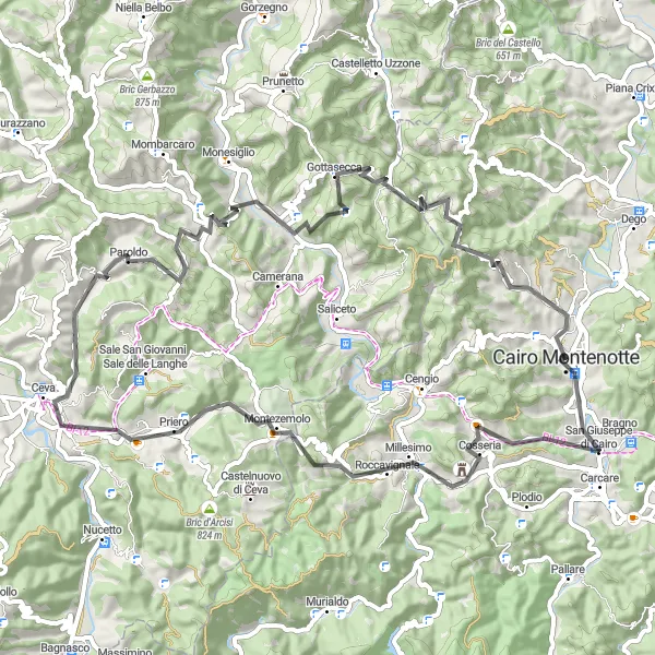
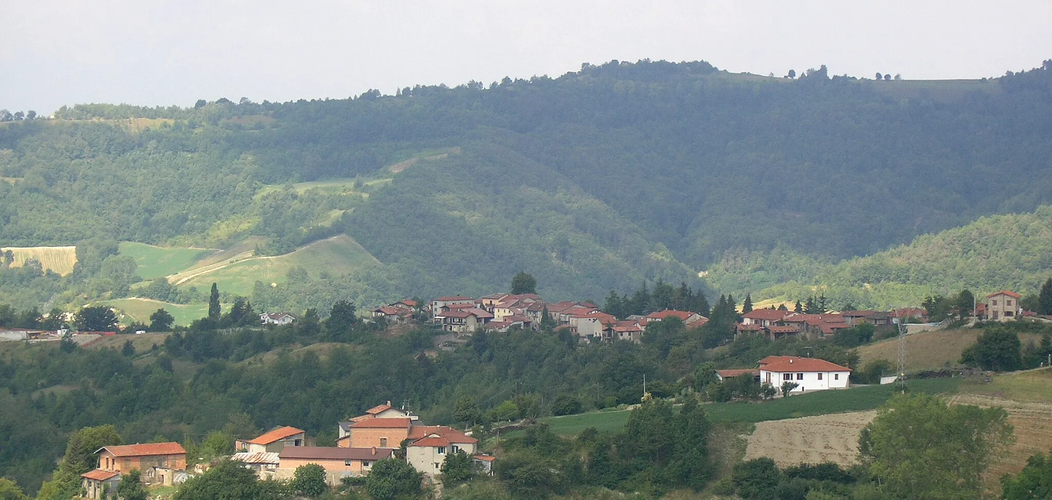
Die 1820 m Steigung dieser Asphalttour bietet spektakuläre Ausblicke auf Cairo Montenotte, Colle Monte und Gottasecca. Die Route führt Sie durch pittoreske Ortschaften und bietet sowohl herausfordernde Anstiege als auch entspannte Abschnitte.
road
77 km
1820 m
Schwierig
Streckenprofil
Höhepunkte auf der Strecke
0 km
0 km
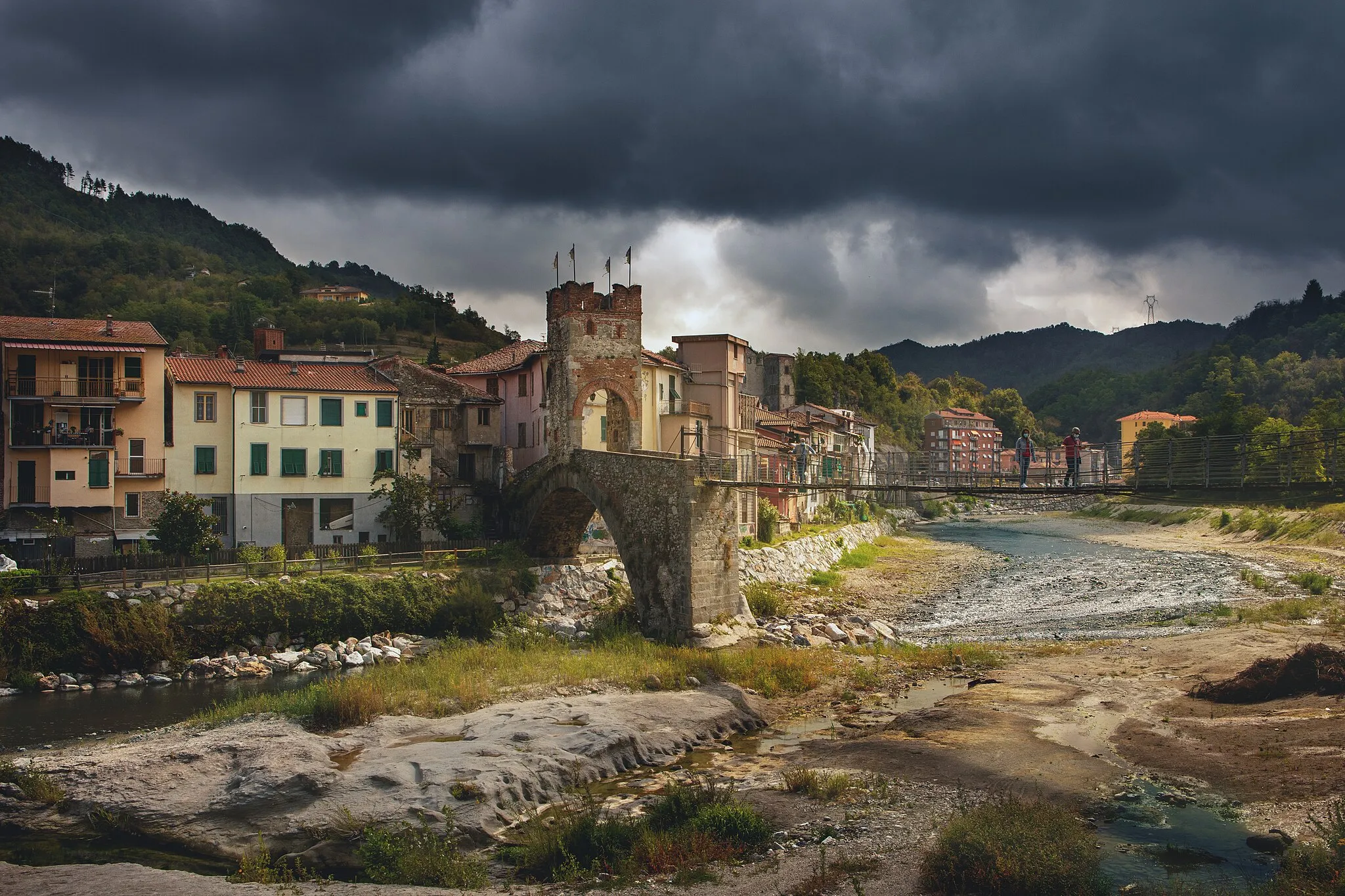
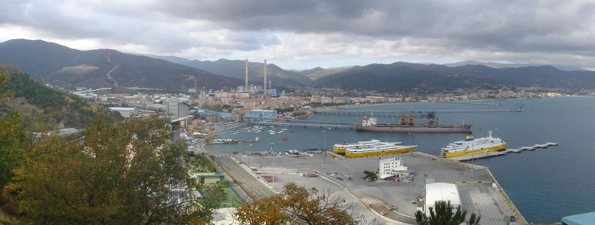
Start: Cairo Montenotte City centerCairo Montenotte: Vielfältige Landschaft für Radfahrer
Cairo Montenotte ist von hügeligem Gelände umgeben und bietet Radfahrern eine vielfältige Landschaft zum Erkunden. Die ruhigen Straßen und die schöne Natur machen diesen Ort zu einem Geheimtipp für Radtouren.0 km
0 km
Cairo MontenotteStadtErkunden Sie die malerische Stadt Cairo Montenotte und lassen Sie sich von ihrem historischen Charme verzaubern.
13 km
13 km
Bric Tana537 mGipfelDer Bric Tana bietet atemberaubende Ausblicke auf die umliegende Landschaft und ist ein Höhepunkt der Tour.
21 km
21 km
Colle Monte785 mGipfelDer Colle Monte bietet spektakuläre Panoramablicke und ist ein beliebtes Ziel für Radfahrer.
29 km
29 km
MollereWeilerMollere ist ein malerischer Ort entlang der Strecke, der mit seinem historischen Flair begeistert.
40 km
40 km
ParoldoDorfParoldo ist ein idyllisches Dorf mit entspannter Atmosphäre und traditionellem Charme.
47 km
47 km
Bric delle Forche712 mGipfelDer Bric delle Forche ist ein herausfordernder Anstieg, der erfahrene Radfahrer begeistern wird.
58 km
58 km
GottaseccaDorfGottasecca ist ein malerischer Ort mit historischem Hintergrund und authentischem Flair, ideal für eine Rast während der Fahrt.
68 km
68 km
Bric Ciappelle694 mGipfelDer Bric Ciappelle bietet eine fantastische Aussicht auf die umliegende Landschaft und ist einen Besuch wert.
77 km
77 km
Ziel: Cairo Montenotte City centerCairo Montenotte: Vielfältige Landschaft für Radfahrer
Radwege von Cairo Montenotte:
Faszinierende Schottertour durch die Natur um Cairo Montenotte Panoramatische Radtour durch die Hügel um Cairo Montenotte Panoramische Hügeltour Liguriens Herausfordernde Hügeltour durch Ligurien Aufregende Schottertour rund um Cairo Montenotte Gravel-Abenteuer in Ligurien Hügelige Ligurien-Radtour Eindrucksvolle Rundtour um Cairo Montenotte auf Asphaltstraßen Abenteuerliche Radtour durch die Hügel Liguriens Abenteuerliche Tour durch die Berge um Cairo Montenotte
In der Nähe befinden sich Fahrradrouten: